Every family who homesteaded the Miami Mills area in the 1880’s has a story to be discovered. This one is about three of them helping their neighbors through some very tough times. I armed myself with a map of early homesteads to better understand where these neighbors were living as I walked through history. This week’s adventure is about Shake Makers, Lumber Mills, and a glimpse into the lives they led along the old roads that I walked.
Where: Sierra National Forest
Distance: About 12 Miles (but you can go shorter, longer or drive it)
Difficulty: Easy to Moderate
Elevation Range: 3,415′ to 5,024′
Date:May 11, 2022
CALTOPO: Hiking From Worman’s Mill to ONeals Meadow and Around Silver Knob
Dog Hike? Maybe
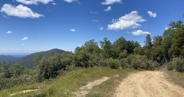
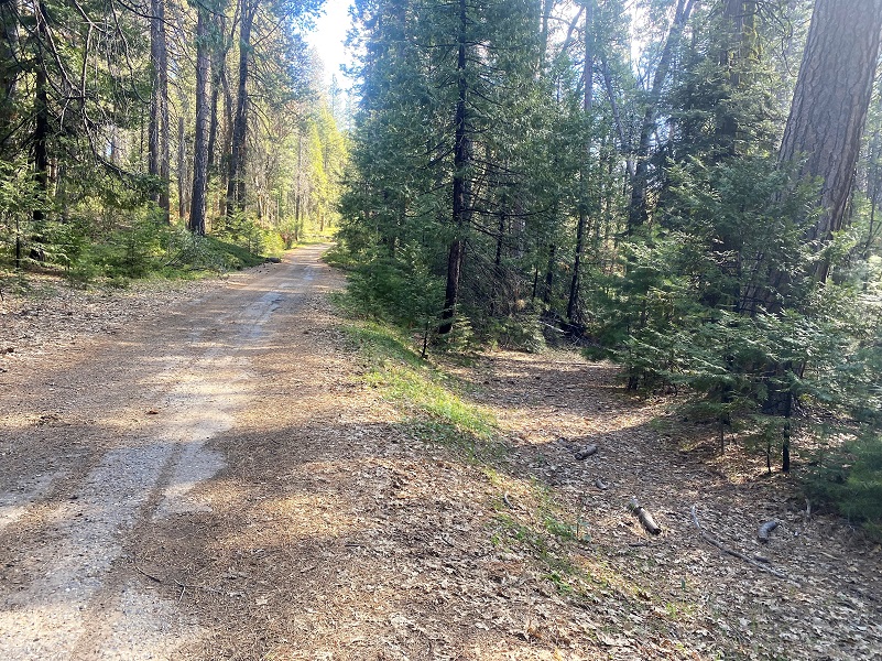
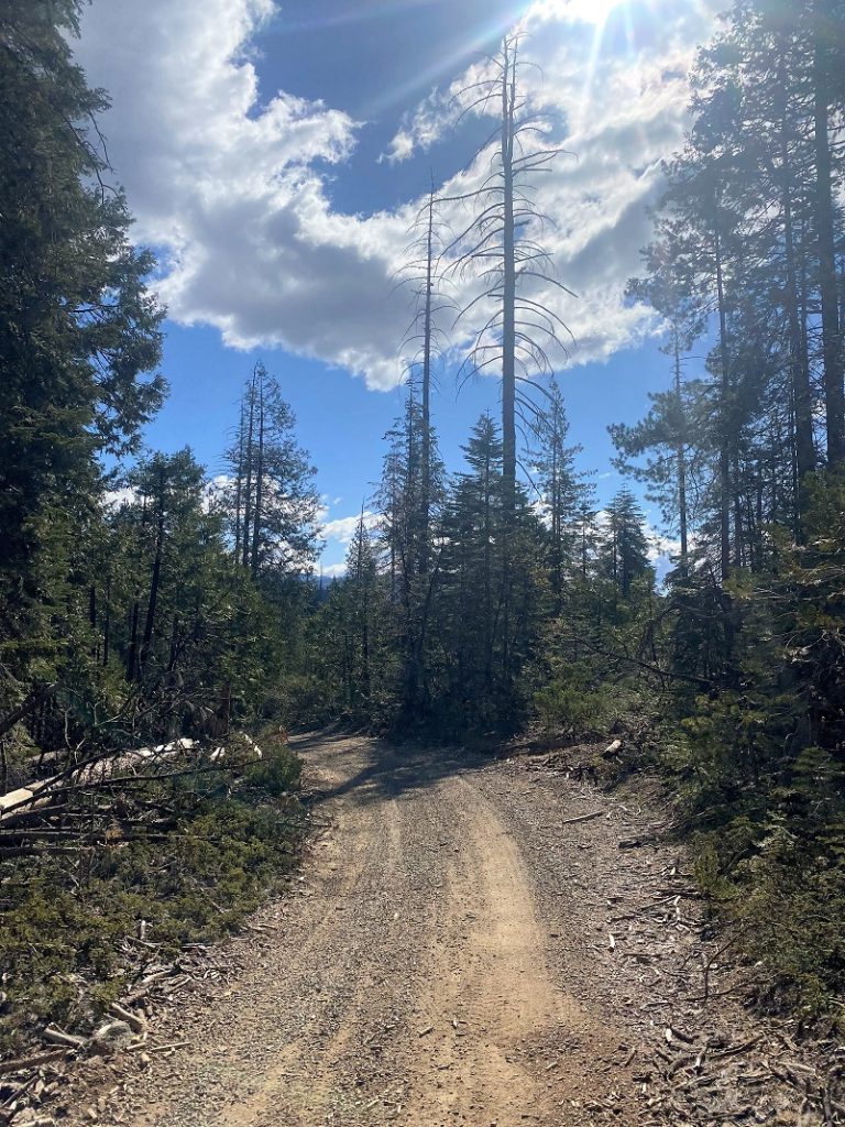
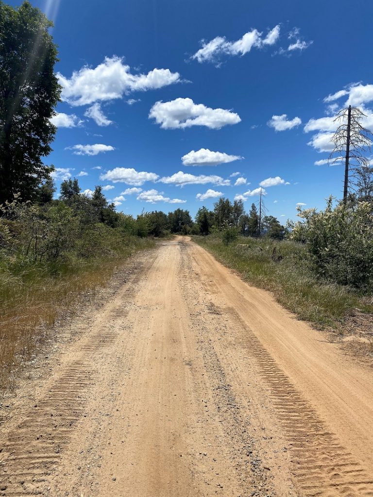
 It was a cool spring day and I was hoping the rattlesnakes were sleeping in. I started my walk across from where Worman’s Mill used to stand, parking off the road in a wide spot at the intersection of Road 601 and Worman Road, and making sure I wasn’t blocking anyone. I headed up Worman Road which turns into N-6S24. When I reached the first road that branched off from the road, 5S16, I took it to the left.
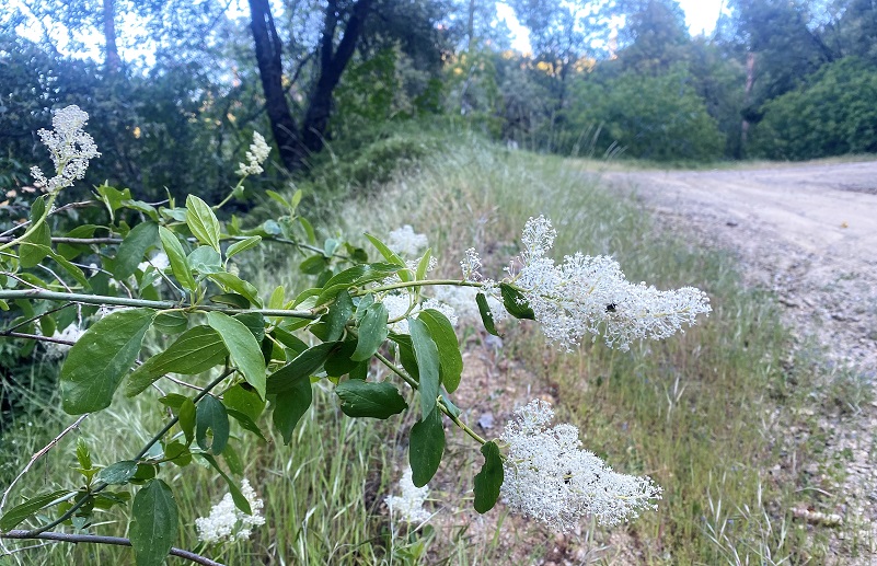
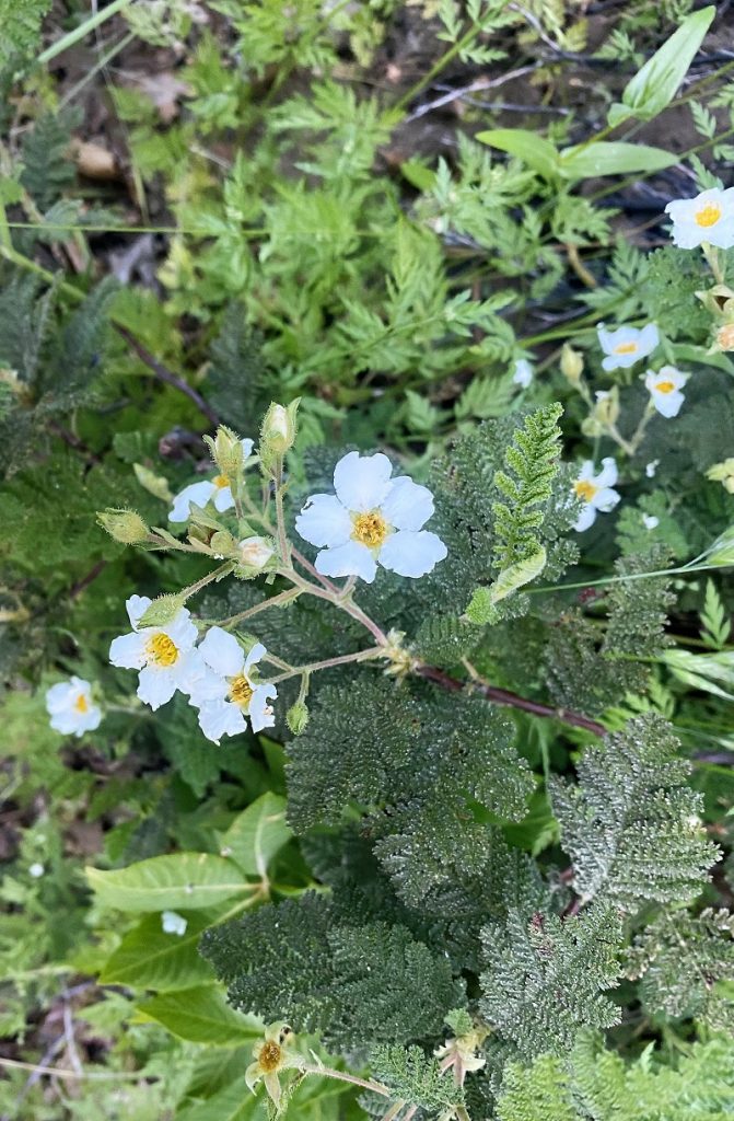
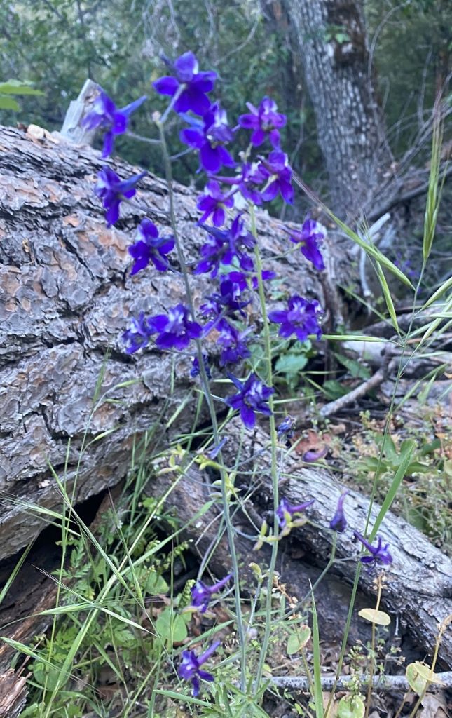
Bearclover aka mountain misery was blooming along the road but many other wildflowers were also blooming such as Ceanothus, Larkspur, Wallflower, purple Chinese Houses and Wild Iris.

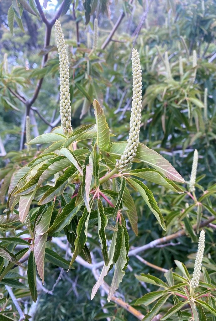
California Buckeye was even getting ready to be pollinated.
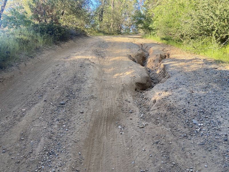
5S16 had a few ruts in it but nothing that careful negotiating couldn’t get around.
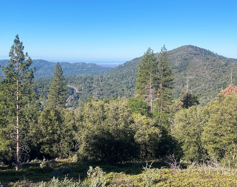
I love walking these roads because it is so rich in history and if you pay attention, you catch glimpses into its past.
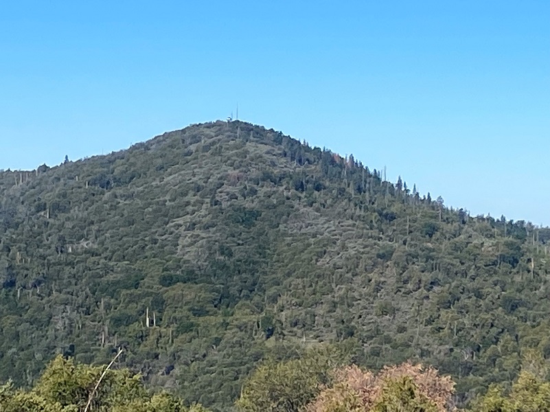
Those people of yesteryear had similar views . . . minus the houses and Hwy 49 and Miami Lookout.
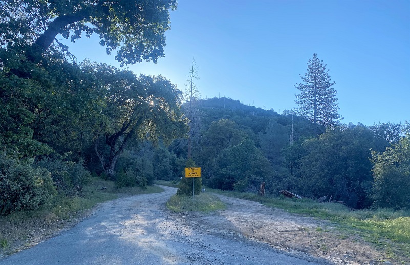
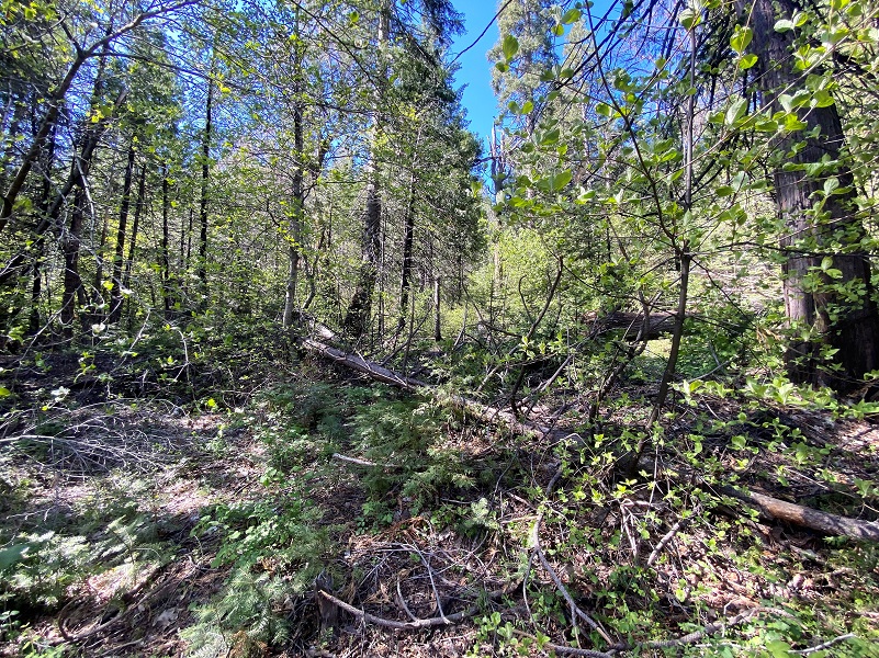
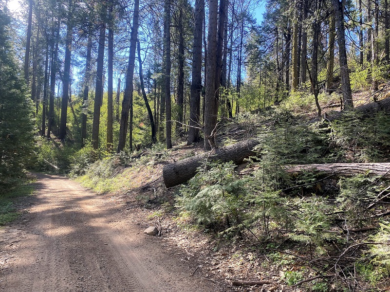
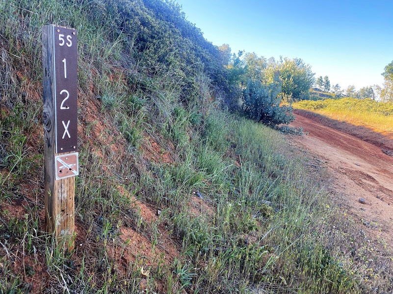 I took the road marked 5S12X on the right. The marker indicated that cars were not allowed and there is a reason for that. A lot of work has been done on piling up the dead trees in this area and they also improved this road in order to access those areas but there is still a section where a wide or lower clearance vehicle wouldn’t get all the way through and if they did venture up, there is no turn around where they would get into trouble. Quads, motorcycles and horses had traveled the road though.
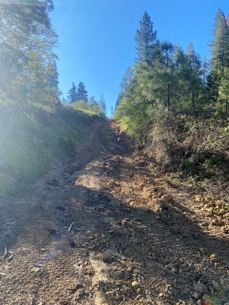
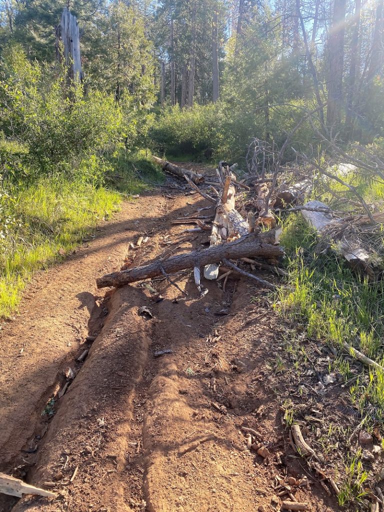
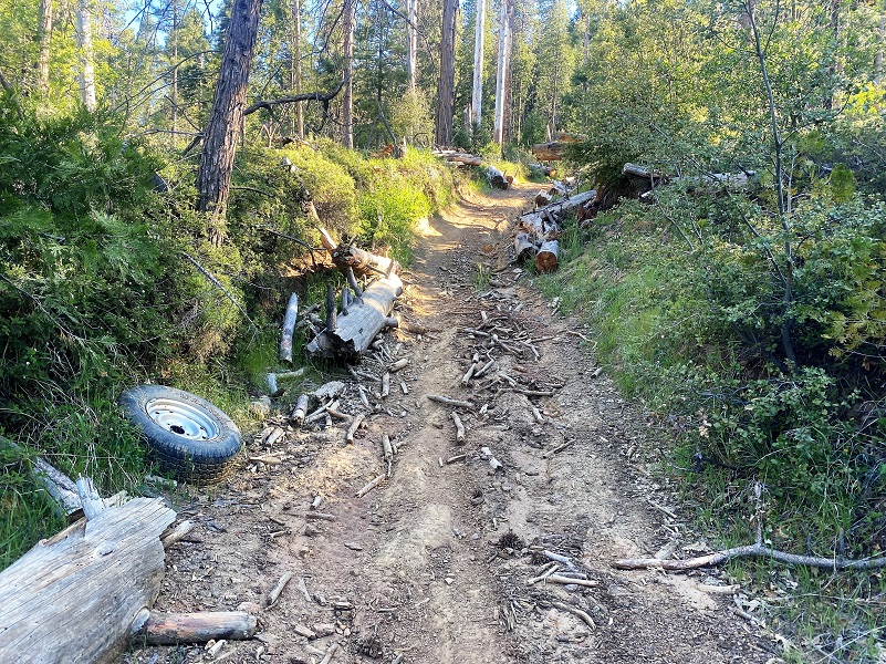
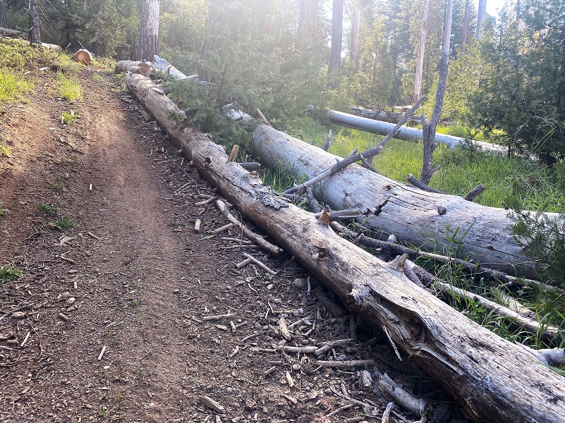 There is still a short stretch with larger trees across the road but there are work arounds for these areas.
When I reached the intersection of 5S12, I turned left, walking past the unsigned spur that heads into O’Neals Meadow, named after John Ruffin “Ruff” O’Neal. (The link will take you to an earlier Blog) He was born about 1836 Tennessee or Mississippi, filed for his first homestead of 160 acres at what became known as O’Neals Meadow in 1883. The first time I located him in California was when he registered to vote in 1867 and he was a miner living in Buchanan City near Raymond. When he first settled his homestead in 1882, there were already 3 log cabins and a barn on the property at O’Neals Meadow. Ruff ONeal owned stock, had a 1 acre apple orchard where he picked two tons of apples in good years. He also raised 3-4 tons of potatoes and harvested 6-7 tons of hay each year. He died in 1891 when he was falling a tree and it pinned his leg underneath it in a way that he could not free himself. They buried him where they found him.
When Ruff O’Neal went missing, his long time neighbor John LaTouche searched for him and eventually located him. LaTouche and O’Neal had known each other since at least 1880. Back when the 1880 census was taken, both O’Neal and John E. LaTouche were living in the same household of Virgel Coons and they were both shake makers.
I am not going to continue with road names because it will only be confusing. If you would like the detailed names, check out the CALTOPO link and it will give you that information, or you can download the track and follow it yourself, or you can print out a map from that link. Lots of better options than confusing dirt road names! Basically I did a great big giant loop around O’Neals Meadow and Silver Knob.
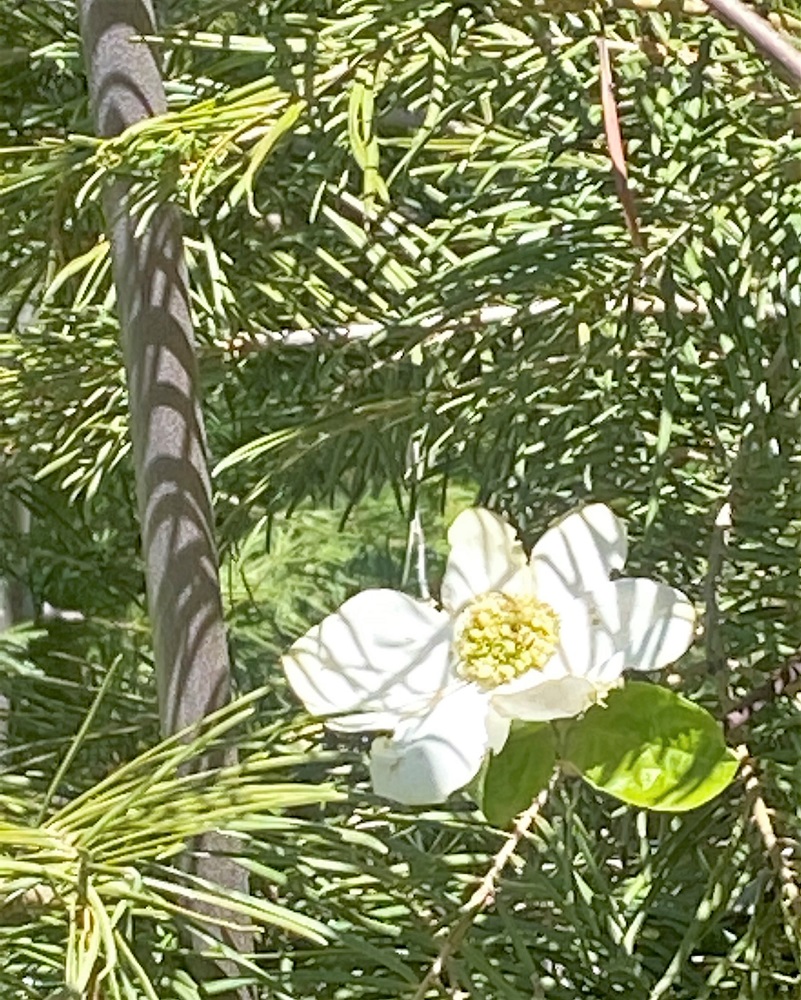
I was curious what the dogwoods would like like in this area. Would they be blooming? Well, some had just began to leaf out and others had smaller dogwood blooms, but so far it wasn’t a magnificent year for dogwood blooms here.

One of the reasons that I was walking this area was to better identify property boundaries of some of the early homesteaders from 1884 to 1892, within a one mile section called Township 6S, Township 21E, Section 4. I drew their maps of their homestead allotments that I had located from online BLM General Land Office Records, narrowing down my search to just Section 4, into CALTOPO and was walking with that map.
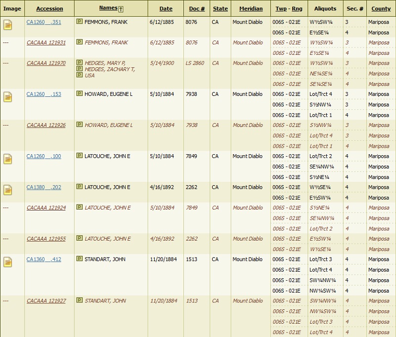
BLM Homestead Records Section 4, Township 6S, Range 21E

Section 4, Township 6S Range 21E
The first properties that I was walking through were John Lowell Standard’s, who filed his 1884 Land Patent for 161.69 acres. John Lowell Standart was born around 1843-46 Wisconsin or New York (depending on which census and other documents you look at). He married Maria in Wisconsin about 1869 and died 1891 in Chowchilla. The 1880 census lists his occupation as farmer. His sons, George, Wilson and Lowell were Shake Makers in this area but also built a two circular saw steam mill. I was also able to tell that the old mill pond and structures that I had visited off of 06S009B were on his Patent. The Blog from that hike is linked here.
But here is some new information. When “Ruff” O’Neal filed his notice of intention to make final proof on his land in 1883, one witness for him was John Lowell Standart. He stated that he worked at farming, lumbering and mining for himself and had know O’Neal for 9 years, eating meals with Ruff many times. He helped the County Surveyor to survey O’Neal’s property and helped him build a log cabin about 12 by 18 feet, valued at $50. In 1890, he hauled shakes for O’Neal’s house.
After I passed the intersection of 06S009A, a road that heads down to the private property that was the home to the Timberloft Girl Scout Camp and before that it was the Miami Lodge (named on maps dated 1916 to about 1950) and before that Miami Sawmill (named on maps dated 1891 to 1912). The sawmill, owned by William H. Crooks and Edward James Leonard, financing by Judge Grant, started operating around 1882. After Judge Grant died in 1891, the property ended up in the hands of his wife’s relative, Dr. Martin Henry Cassel/Castle, and in 1902 Dr. Castle sold the mill and land to Madera Sugar Pine Co.
Miami Mills/Lodge was one of several stage stops on the old stage road from Raymond up to Wawona. From Zelda Garey Dubel’s wonderful book To Yosemite By Stage, she shared a recollection that William Sell had told her. “In my day when I was driving stage (beginning 1900) they had a big mill, a lumber yard here and a small mill that was running constantly.” In 1913 William Sell moved to Miami Lodge, enlarging the Miami Lodge Hotel, built more buildings and then Miami Lodge became a stage and lunch stop for the automobile stages.
This is the really short version of an exciting history that this spot has had. One reason I share this history is because when the Shake Makers needed money, they worked at Miami Mills. A Post Office was also there, making this a central meeting place for these homesteaders whose land patents I walked on.
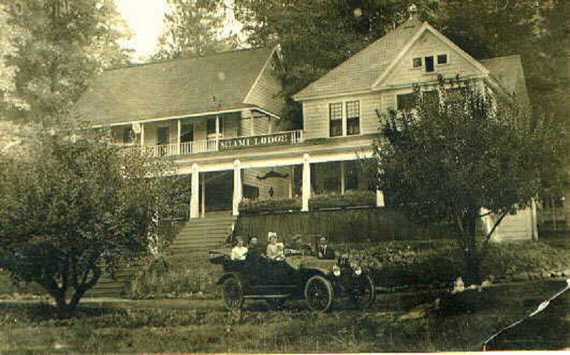
Miami Lodge (Mariposa County History and Genealogy)
As I continued down the road, I entered the 1892 Land Patent of 160 acres for John LaTouche. He was born in Maine 1847 and had served in the Civil War, 19th Infantry, and in the 4th Heavy Articllery, Company K, Union Army from Massachusetts under his alias name of John F. Phelan. Back in 1884, he had previously filed for an additional 160.62 acres in the area and it is said that he had a cabin by Miami Lodge in the timber above Miami Mountain Road. By the time that he had filed on his 1892 Homestead Patent, his family included his wife Phoebe Branson and 4-5 young children. The Madera Flume and Trading Company (which was later purchased by the Madera Sugar Pine Company) owned the property surrounding LaTouche’s place. Loggers were cutting timber around his house and told him to get out because they were going to fall the timber and if he didn’t leave, they might fall a tree though his house. He owned the land and didn’t think that they had a right to cut the timber, so he didn’t leave. On May 16, 1893 the loggers cut a huge tree which did fall through the cabin and killed him. He was buried next to his friend Ruff O’Neal in what we now call the Westfall Burial Ground.
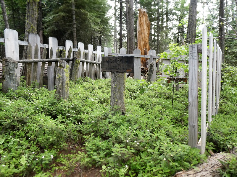
John Ruffin O’Neal and John Eldridge LaTouche (Westfall Burial Ground)
We don’t know where this cabin was located. Was it within his 1884 or 1892 Homesteads? On prior hikes, I had searched along his 1884 Land Patents but on this hike I was going to check out possible places around his 1892 property. There are separate references to him living near Miami Mills and Silverknob, so that is why I am looking in this area. I had walked through this area a few times looking but hadn’t been armed with GPS data on the land boundaries.
The land had been logged a few times and fire had also come through it so no doubt it looked very different from the time that John LaTouche lived here.
In the past, 3 spots had looked like possibilities and I stumbled across a place that looked like it had some sort of structure on it in the past but couldn’t be sure.
I continued looping my way around Silverknob, working my way back to O’Neals Meadow. But I was still checking out dogwoods and found a few with nice blooms.
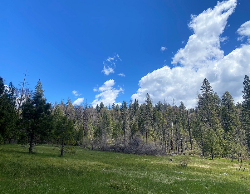
It was lunchtime and I knew just the spot–O’Neals Meadow, a wonderful spot to watch the clouds and reflect on the people whose land I had visited on this walk up a dirt road.
I headed back the same way I had come in.
The only person I saw was a equipment operator fueling up his equipment. He had been working on piling the down trees and had helped improve those roads in order to get the crews up to the piles. I thanked him for his hard work. The roads that I walked on this hike had been cleared of the Mono Wind event down trees, not to say more won’t fall. I suggest you use caution when hiking amongst the dead standing trees because they will eventually come down. Wouldn’t want them to come down on you!
One of the reasons I usually have this area to myself is that I like to hit the trail on the weekdays and early. But I have heard that on the weekends it can be kind of crazy with people on motorcycles and 4 wheelers.
There are many roads and trails to explore in this area and many don’t show up on Topographic Maps. CALTOPO or using a download to the Avenza Map APP are the best that I have found. Links are below the Maps and Profile section toward the end. Other than when I was at my car, I didn’t see anyone on this hike but it does get use from motorcycles, 4 wheelers, bikes, horses and hikers. I suggest you be prepared because the motorcycles can fly by in an instant but you can hear them coming. I try and avoid the weekends in this area for that reason.
Dog Hike? Maybe
This could be a good dog hike if your dog is a good fit. The road is lightly traveled by vehicles so you would need to keep an eye open for a vehicle coming around one of the curves. I would imagine in the summer that you could run into a rattlesnake out here also. This is mountain lion country, along with other wildlife that you could encounter. There were a couple of areas with running water on my hike but it probably dries up in summer, so you would probably need to pack dog water.
Doarama:
What is a Doarama? It is a video playback of the GPS track overlaid on a 3 dimensional interactive map. If you “grab” the map, you can tilt it or spin it and look at it from different viewing angles. With the rabbit and turtle buttons, you can also speed it up, slow it down or pause it.
Worman’s Mill to ONeals Meadow and Around Silver Knob Doarama
Map and Profile:
CALTOPO has some free options for mapping and here is a link to my hike this week: CALTOPO: Hiking From Worman’s Mill to ONeals Meadow and Around Silver Knob
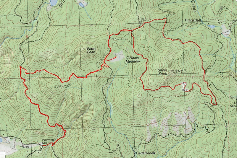
Worman’s Mill to ONeals Meadow and Around Silver Knob Topographic Map
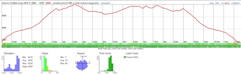
Worman’s Mill to ONeals Meadow and Around Silver Knob Profile
Sources:
Dubel, Zelda Garey, To Yosemite by Stage, Zulu.com, Third Edition, 2011.
Sargent, Shirley, Wawona’s Yesterdays 1961
Wawona’s Yesterdays (1961) by Shirley Sargent
Wawona Road (HAER No. CA-148) written historical and descriptive data Wikisource
Rare brochure for Yosemite Stage Co. 1900
Yosemite National Park Digital Archives
Yosemite National Park Statistics
Rules and Regulations Yosemite National Park, United States National Park Service, 1925
In the Heart of the Sierras by James M. Hutchings (1888)
Miami Lodge Mariposa County History and Genealogy
Sierra National Forest ORV Maps
Prior Blogs in this Area:
Walking Up a Dirt Road: Harris Cutoff Up Chowchilla Mountain Road January 11, 2022
Walking up a Dirt Road: Worman’s Mill, Sunny Meadows Fall Color Loop November 4, 2021
Walking up a Dirt Road: Worman’s Mill to the Lone Sequoia January 25, 2022
Walking up a Dirt Road: Worman’s Mill, Sunny Meadows to O’Neal’s Meadow Loop May 18, 2021
Walking up a Dirt Road: Westfall Picnic Area up Miami Mountain Road April 27, 2021
Walking Up a Dirt Road: Worman’s Mill to 4S04 Miami Creek Headwaters April 20, 2021
Walking Up a Dirt Road: Worman’s Mill to 6S09B Above Old Miami Mills January 17, 2021
Walking on a Dirt Road: Elliott Corner to Cold Spring Loop December 30, 2020
Walking up a Dirt Road: Westfall Picnic Area up Miami Mtn Road June 2, 2020
Walking up a Dirt Road: Worman’s Mill Loop Along Sunny and O’Neals Meadows May 20, 2020
Walking up a Dirt Road: Worman’s Mill to O’Neals Meadow Loop May 5, 2020
Walking up a Dirt Road: Worman’s Mill to the Lone Sequoia April 28, 2020
Walking up a Dirt Road: Worman’s Mill to Pilot Peak April 22, 2020
Walking up a Dirt Road: Worman’s Mill to O’Neals Meadow April 15, 2020
Walking up a Dirt Road: Worman’s Mill to Sunny Meadows April 10, 2020
Walking up a Dirt Road: Worman’s Mill and Beyond March 31, 2020
In Search of the Lone Sequoia February 13, 2015


