Hiking with the 1883 Topographic Map, I followed the old wagon and stagecoach roads above Nipinnawasee through 1880’s era homesteads as I tried to figure out the routes of travel, neighbor relationships and a few stories from back in the day.
Distance: 13.12 Miles (but you can go shorter or longer)
Difficulty: Moderate
Elevation Range: 3,417′ to 5,038′
Date: December 24, 2020
CALTOPO: Worman’s Mill to 6S09B
Dog Hike: Maybe
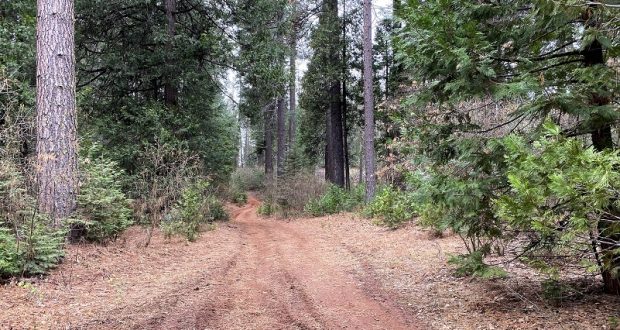
I started my walk across from Worman’s Mill, parking off the road in a wide spot at the intersection of Road 601 and Worman Road, making sure I wasn’t blocking anyone. I headed up N6S24 then left up 5S16.
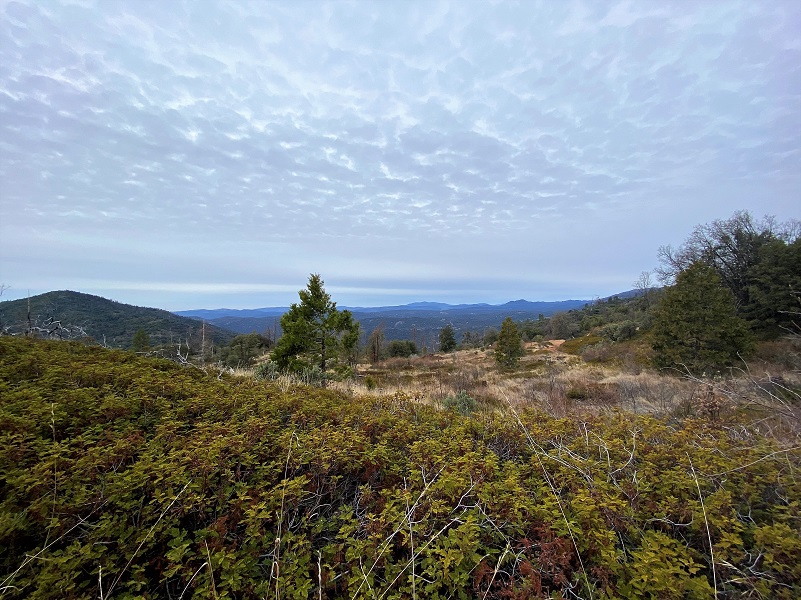
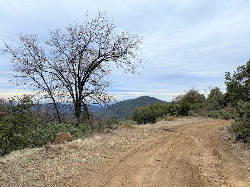
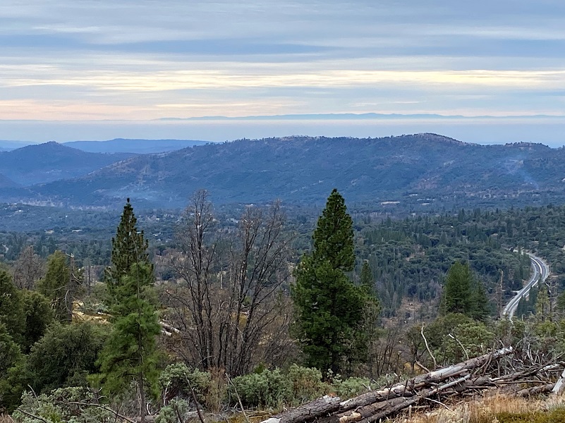
The views along the road change each time I hike in this area and sometimes clouds add a bit of drama. With Miami Mountain on the left, I could look way out into Mariposa county.
I took the road marked 5S12X on the right and there is a reason. Although you can’t drive 5S12X by car, it is shorter if I am walking. Cars would not get too far up that road and if they did venture up, there is no turn around when they would get into trouble. Quads and motorcycles had traveled the road though.
When I reached the intersection of 5S12, I turned left, skirting O’Neals Meadow, then right on 5S62 and through the old Homestead Patent for John Lowell Standart, then left on 6S09A. He was born about 1845 in Wisconsin and is shown on the 1880 census with his wife Maria and 3 sons in Tulare County with an occupation of Farmer. After that, he is living in Mariposa County, passing away in 1891 at Chowchilla. John’s sons were first shakemakers, then built a 2 circular saw steam mill east of Cedarbrook Inn toward Sugar Pine in 1910. The mill cut about 5,000 feet per day and shut down in the fall of 1912. They later purchased the old Escru and Reynolds mill near Coarsegold and moved it, along with the first mill. With these 2 mills, they started cutting in 1914 until 1918 when the mill was lost by fire. There is a wonderful picture of Lowell and George Standart in To Yosemite by Stage.
I turned left at 6S09A.
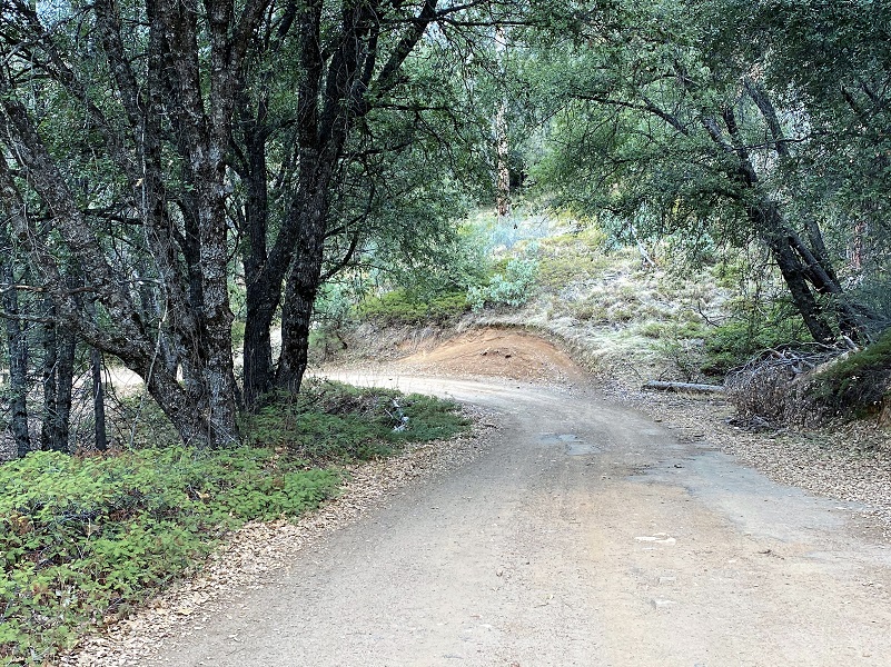
A road took off to the right that headed through the old Homestead Patent for John Eldridge LaTouche, then down toward the Old Miami Mills area, and I could even see an opening down that way but I wanted to see how far the road I was on would go. Some maps showed it ending and some showed it going through. There is only one way to find out!
If it hadn’t been so dry, I wouldn’t have been able to cross Miami Creek but I hopped across on some rocks.
As I looked to the right, I could see a sign and a gate up the road, so I decided to stay to the left.
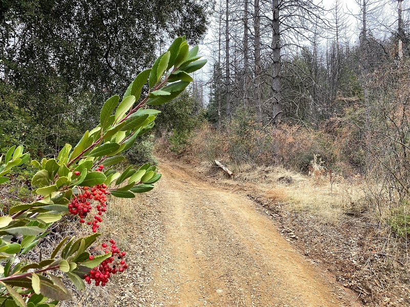
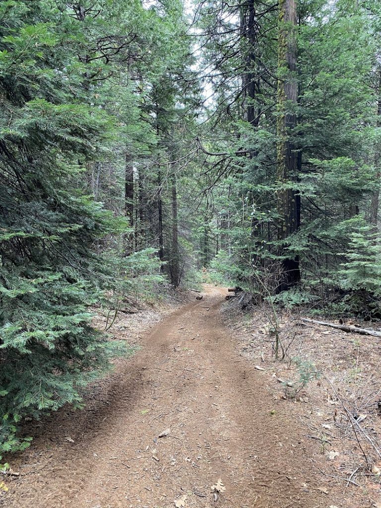
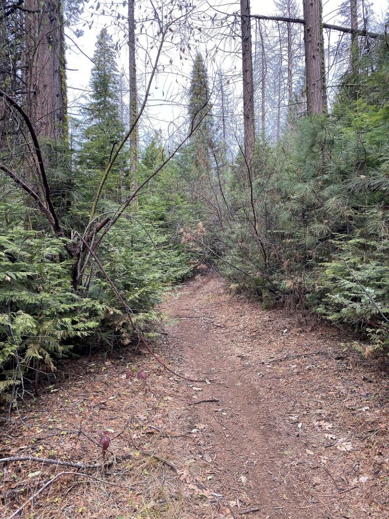
The road got narrower and recent downed trees had been cleared.
It wasn’t long before I figured out why some of the maps showed the road going through and some of the maps show it ending, so I turned around and went back the same way I had come in.
I decided to head through O’Neals Meadow on the way back, taking a left at 6S62, then a right on I soon reached an area that I thought was probably the old road that went into the upper part of O’Neals Meadow. There was no sign on the road but I believe at one time it went through and the other end has a sign with 5S63A. There are so many big, down trees on this road on the north side of O’Neals Meadow, I would say that section is pretty much blocked. But I did it last year and where there is a will there is a way on foot.
The road I walked into O’Neals Meadow was probably the route that John Ruffian “Ruff” O’Neal walked on in January and February of 1886 when he was working at the Old Miami Sawmill Company making shingles. Tax records don’t show that he had a horse, so that is why I say that he probably walked.
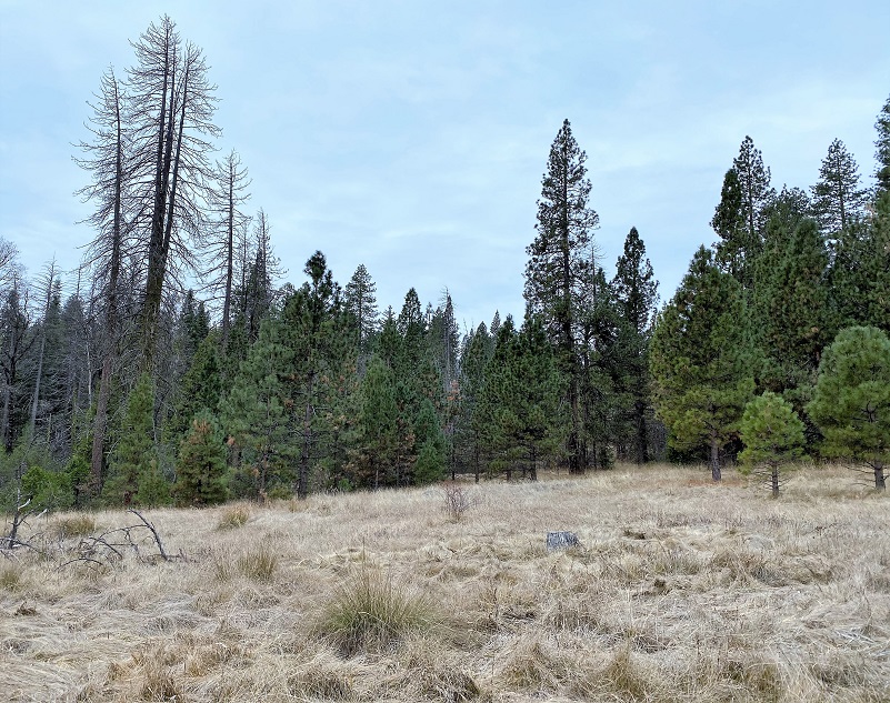
I reached the east entrance to O’Neals Meadow and probably the location of his house. This area is on the slight uphill side of the meadow which I know from personal experience can be very boggy in the spring.
There is an outstanding book by Zelda Garey Dubel on the history of our area called To Yosemite by Stage: Raymond to Wawona and Remembering Cedarbrook Inn. It is full of interesting history that I often reference and it has a section on O’Neals Meadow. That is where most of my information comes from for this blog.
O’Neals Meadow was named after John Ruffin “Ruff” O’Neal, bc1836 Tennessee or Mississippi. When he registered to vote in 1867, he was a miner living in Buchanan City near Raymond. He filed for his first homestead of 160 acres at what became known as O’Neals Meadow in 1883 and John Standart was one of the witnesses, stating that he had known Ruff for 9 years. He also helped Ruff build his house there in May 1883. When Ruff first settled his homestead, there were already 3 log cabins and a barn on the property that had previously been owned by Ephraim Cutter Carter. Ruff added an additional Homestead Patent that adjoined his property at the meadow. Standart helped Ruff build a cabin about 12 by 18 feet worth $50 and a road 3/4 of a mile to the cabin. He cleared land, cultivated it and brought water onto his land on a flume. He raised crops that included musk melons, watermelons, turnips, potatoes, corn, beans, beets, peas, lettuce and cabbage. These crops were raised for his own use and to give away to any neighbors when they ran short. When Ruff received his land patent on May 10, 1884, he was absent from his property only two time and that was in order that he could earn more money to improve his place.
In 1889 Ruff built a larger house with some help. This house was constructed of sawed lumber, 14 by 16 feet, with a shake roof and a double plank floor. The kitchen was sealed with tongue and groove lumber, had 3 doors, 6 windows and consisted of 3 rooms. He also had a barn.
Sadly, Ruff died in 1891. The San Francisco Examiner was one of many that reported his death.
“Oneal, John R. A Horrible Fate/ John R. Oneal, an old settler in the neighborhood of Twin Springs, and well-known throughout that portion of the county, was found dead, on Thursday of last week in the woods two miles east of his place. Mr. Oneal had a good mountain ranch, and had lived alone many years. He employed most of his spare time in splitting shakes for sale. He was last seen about a month ago, when he was at the Post Office at Grant’s Springs. some three weeks ago, Albert Reynolds called at his house, but found no one at home, but noticed that things looked as if Oneal had been gone some time, as food which had been left on the table was moldy. Last Tuesday Reynolds again went to the house and found things exactly as they were, at his former visit, and also saw that his ax and saw were gone. A searching party was organized and every tree on Oneal’s land where shakes had been made was visited, but no trace of him could be found. They the began to look elsewhere as he was known to have bought trees on other land and on Thursday his body was found. A tree in falling had caught one leg in such a manner that the poor man could not extricate himself and there he had suffered and starved to death, almost within sight and hearing distance of some men who were cutting logs on a ridge near him. There were signs of the awful struggle he had made in trying to dig himself out but his leg was badly crushed, and he was too feeble to extricate himself. The body was badly decomposed showing that he had been dead a long time. He was in the habit of marking his calendar every day and the last entry was on August 8th, but it is not certain whether that was the date, on which his terrible fate overtook him. Mr. Oneal was an inoffensive kind hearted man and had no enemies. He was unmarried and was a native of Tennessee. His age was 55 years.”
They buried him where they found him because it was mountainous terrain and it would have been difficult to move the body. John E. LaTouche had found him and 2 years later he met a similar fate. They are buried next to each other at the Westfall Burial Ground.
After John Ruffin O’Neal died, his estate was probated and the Sheriff was ordered to sell the property for $179.80. Nathan L. Cathey had the highest bid of $922.
The Ives family, who had moved from Los Angeles County to Bailey Flat where they operated the Happy Creek Ranch, spent summers at O’Neal’s Meadow starting around 1912. At that time, O’Neals Meadow was “cattle leased land” with a grazing permit. Their daughter Cora Matilda Ives was born 1891 in New York City, and her recollections were captured in Zelda Garey Dubel’s outstanding book on the history of our area called To Yosemite by Stage: Raymond to Wawona and Remembering Cedarbrook Inn. She also has some pictures of Cora’s buildings at O’Neals Meadow. Cora did not remember John O’Neal’s buildings being there in 1922 when her family built 4 cabins. By 1940 there were 2 cabins. One of her two cabins was called the Biltmore because it had been built onto more than the others. The other cabin had a kitchen and living room with screened sides. Benches made of 3/4 logs were covered with Indian blankets for people to sit on. The Ives family also built a little chapel at O’Neals Meadow and for a while a priest came to the meadow once a month to give a service in the chapel.
Cora wrote articles for the Fresno newspapers about wildflowers, Native Americans and social going doings. Cora never married and was living at her sister’s in Los Angeles when she died in 1965 of ovarian cancer. Below is one of her obituaries shared in To Yosemite by Stage.
Cora M. Ives. Sierra Nature Writer Died in Los Angeles. Raymond, Madera Co.
Cora M. Ives, who for years wrote for The Fresno Bee on Sierra nature subjects, did features and covered general community news here, died of cancer in Los Angeles this week. A granddaughter of Lieutenant Joseph C. Ives, an explorer of the Grand Canyon, she was born in New Work City in 1891 and came to California with her family in 1895. She was educated in the Marysville Sacred Heart Convent in St. Louis, made her debut in Los Angeles in 1911 and traveled in Europe with her three sisters. The outdoors had greater appeal for her, however, and in 1913 she homesteaded in Madera County and later established a rustic dude ranch in the O’Neals Meadow which attracted a variety of guests, many of whom became her lifelong friends. She began writing in the early homestead days and became known for her articles on flowers and Indian lore. In recent years while traveling in Lebanon and Africa she wrote of current conditions and of the backgrounds of those lands. Surviving are two brothers and a sister, Ennals Ives of Palmdale, Los Angeles County, Eugene Ives of Long Beach and Dr. Elinor Ives of Los Angeles; and two nephews and a niece, Navy Captain Eugene I. Malone, Ennals Ives, Jr., of Palmdale and Ann M. Sweet of Modesto.
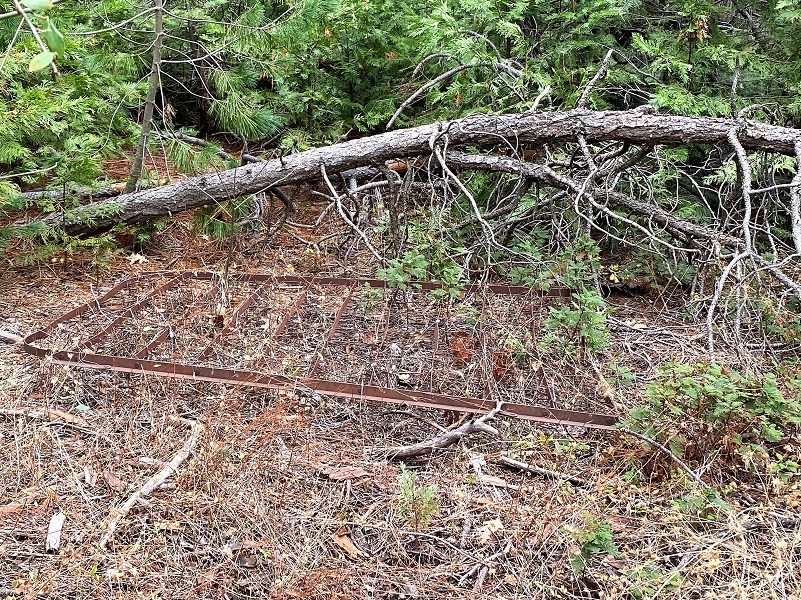
Cora’s little cabin had been torn down by 1968 and a Boy Scout Troop planned a cleanup. A grape arbor, some orchard trees and a yellow rose were all that remained at that time. If you look closely, you will find evidence from when Cora Ives lived in O’Neals Meadow.
As I walked through the meadow, I could spot rose hips on the rose bushes that I bet Cora Ives planted.
I wandered across the meadow, tying in with 5S12 and back out the same way I came in.
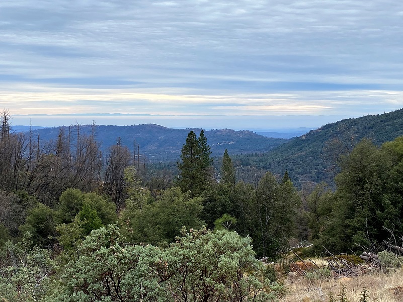
As I wandered down, I was treated to some pretty nice views looking into Madera County.
I have shared more history on John Latouche, John Ruffian “Ruff” O’Neal and Cora Ives in prior blogs linked at the bottom of this blog. There is so much history on the roads in area, full of interesting people who lived in the area. Native American families, early wagon roads to Yosemite, lumber operations, mining, homesteading and cattle were all part of this history.
I had planned to do some other hikes, searching the old homesteads and roads but the wind storm, upcoming rain and snow will shut me down for further exploring in this area for a while. I want to point out that due to the many standing dead trees along this hike, I would steer clear of this area when the wind is blowing and even if it isn’t blowing, pay attention in case one of those trees decides to come down.
There are many roads and trails to explore in this area and many don’t show up on Topographic Maps. CALTOPO or using a download to the Avenza Map APP are the best that I have found. Links are below the Maps and Profile section toward the end. Other than when I was at my car, I didn’t see anyone on this hike but it does get use from motorcycles, 4 wheelers, bikes, horses and hikers. I suggest you be prepared because the motorcycles can fly by in an instant but you can hear them coming. I try and avoid the weekends in this area for that reason.
Dog Hike? Maybe
This could be a good dog hike if your dog is a good fit. The road is lightly traveled by vehicles so you would need to keep an eye open for a vehicle coming around one of the curves. In the summer you could run into a rattlesnake out here also. This is mountain lion country, along with other wildlife that you could encounter. There were a couple of areas with running water on my hike but it can dry up in summer, so you would probably need to pack dog water.
Doarama:
What is a Doarama? It is a video playback of the GPS track overlaid on a 3 dimensional interactive map. If you “grab” the map, you can tilt it or spin it and look at it from different viewing angles. With the rabbit and turtle buttons, you can also speed it up, slow it down or pause it.
Worman’s Mill To Old Miami Mills Area Doarama
Maps and Profile:
I am trying something a little new on the Blog format, including a link to this track on CALTOPO at the top and under the Maps and Profile Section at the end that you can view or download. Please give me feedback on this change!
A great interactive mapping source for these roads can be found at Sierra National Forest ORV Maps where you can download the Off Road Vehicle Maps to follow the roads and trails. Downloading them to the Avenza Map App from that site, you can even track your adventure to share with others or just save.
CALTOPO has some free options for mapping and here is a link to my hike this week overlayed on the 1883 Topographic Map: CALTOPO: Worman’s Mill to 6S09A
Sources:
Dubel, Zelda Garey, To Yosemite by Stage, Zulu.com, Third Edition, 2011.
Wawona’s Yesterdays (1961) by Shirley Sargent
Rare brochure for Yosemite Stage Co. 1900
Rules and Regulations Yosemite National Park, United States National Park Service, 1925
Sierra National Forest ORV Maps
Prior Blogs in this Area:
Walking Up a Dirt Road: Worman’s Mill to 6S09B Above Old Miami Mills January 17, 2021
Walking up a Dirt Road: Westfall Picnic Area up Miami Mtn Road June 2, 2020
Walking up a Dirt Road: Worman’s Mill Loop Along Sunny and O’Neals Meadows May 20, 2020
Walking up a Dirt Road: Worman’s Mill to O’Neals Meadow Loop May 5, 2020
Walking up a Dirt Road: Worman’s Mill to the Lone Sequoia April 28, 2020
Walking up a Dirt Road: Worman’s Mill to Pilot Peak April 22, 2020
Walking up a Dirt Road: Worman’s Mill to O’Neals Meadow April 15, 2020
Walking up a Dirt Road: Worman’s Mill to Sunny Meadows April 10, 2020
Walking up a Dirt Road: Worman’s Mill and Beyond March 31, 2020
In Search of the Lone Sequoia February 13, 2015

