I kept watching and watching. Every day I drove north on Hwy 49 I could see those oaks up on Pilot Peak and Silver Knob turning more yellow and I wondered what a walk up on those dirt roads might show me in the fall color arena. The north side of Pilot Peak has quite a few dogwoods at the 4,000′ to 5,000′ elevation but would I be too early or too late to see fall dogwood fall color?
Distance: 10.54 Miles (but you can go shorter or longer)
Difficulty: Moderate
Elevation Range: 3,418′ to 4,859′
Elevation Gain: 1,606′
Date: November 4, 2021
CALTOPO: Worman’s Mill to Sonny Meadows and O’Neil Meadows Fall Color Loop
Dog Hike: Maybe
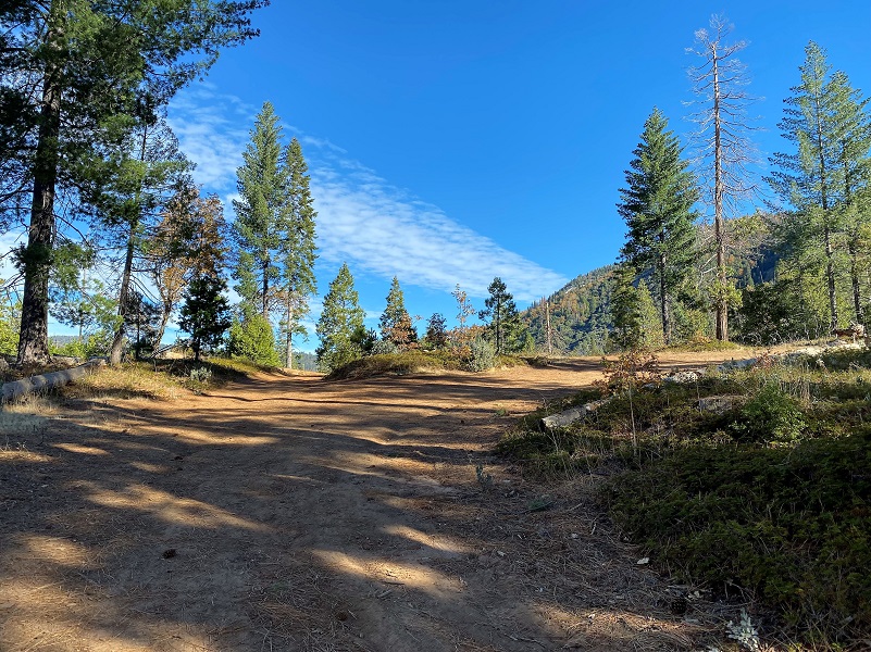
 If you are wondering where Pilot Peak is, it is the high point on the Mariposa/Madera County line to the east of Hwy 49 that has a slab of white on it when it snows. You can really spot it as you drive north on Hwy 49 near Ahwahnee. Silver Knob is the high point about a mile to the east of Pilot Peak. I started my walk across from where Worman’s Mill used to be, parking off the road in a wide spot at the intersection of Road 601 and Worman Road, making sure I wasn’t blocking anyone. I headed up N6S24 then left up 5S16.
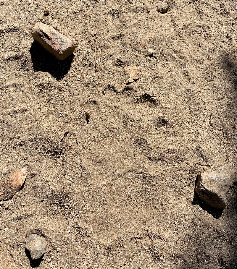
The road was a little rutted from our recent big rain. There were a few new dead trees that had fallen on it, bucked up enough to be moved aside so vehicles could get by, sometimes needing to weave themselves around a bit of a tree maze. A really wide vehicle wouldn’t be able to make it through in a couple of spots. I always love to watch for tracks on the road. It was about 50 degrees when I started out in the morning and there were plenty of new snake and lizard tracks on the road, along with many others that included deer, bear, coyote, bobcat and mountain lion. The picture below is NOT of a rare 6 toed mountain lion, but I think a cat placed its back foot on top of its front paw print. Pretty cool, isn’t it?
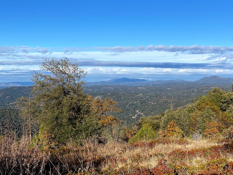
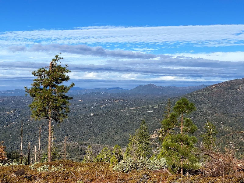
When the trees thinned out along the road, I was treated to views of Miami Mountain toward Hensley Lake. A weak, passing storm gifted me with clouds as I looked into Mariposa County.
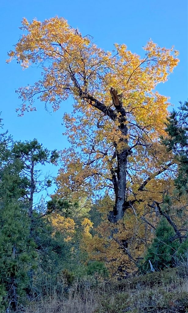
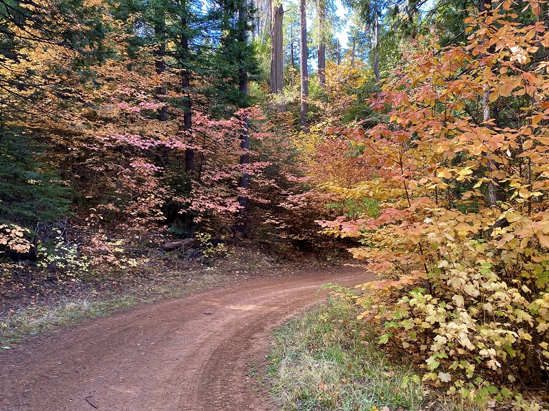
Oaks were stealing the color show as I headed up the lower portion of the road.

The road started wrapping around the north side of the mountain where I crossed the small creek that drains out of Sonny Meadows, then 5S16A was on the right. This road was part of the old wagon road that Galen Clark’s company, “Mariposa Big Trees and Yo Semite Turnpike Company,” built to tie in Mariposa and Wawona. There were actually several ways that visitors reached the Wawona area by stage. Before the Raymond Road was the preferred route, this upper road that went over the mountain into what was then called Hogan Meadow, renamed Sonny/Sunny Meadows in 1947, then followed Miami Creek into Miami Lodge.
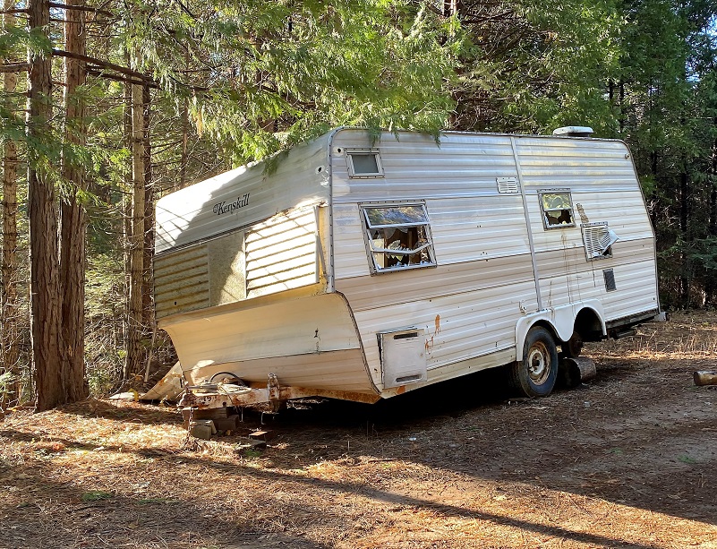
I continued on 5S16,coming across a couple of abandoned trailers on the side of the road. One of these has been there about 2 years and the other one at least a year.

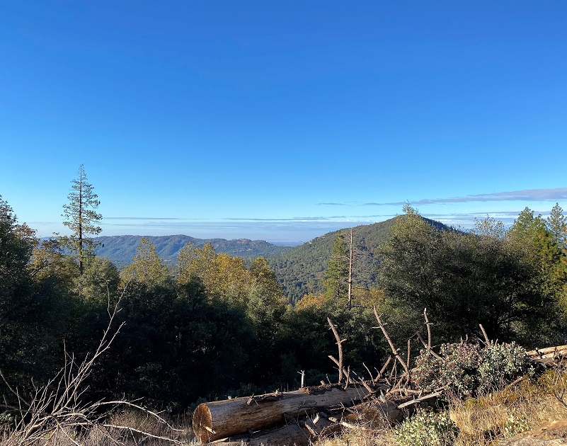
The clouds from the clearing storm were very pretty as I looked over Ponderosa Basin and into Mariposa County.
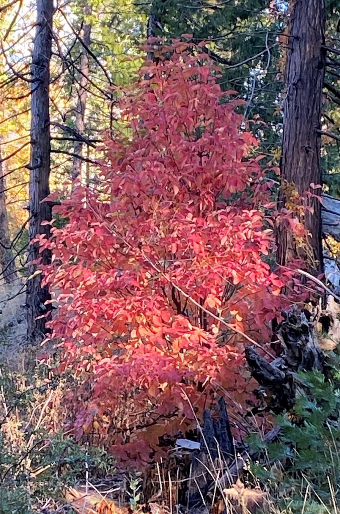
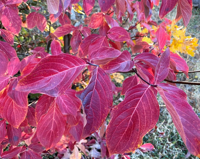
As I climbed, the dogwoods started stealing the fall color show.
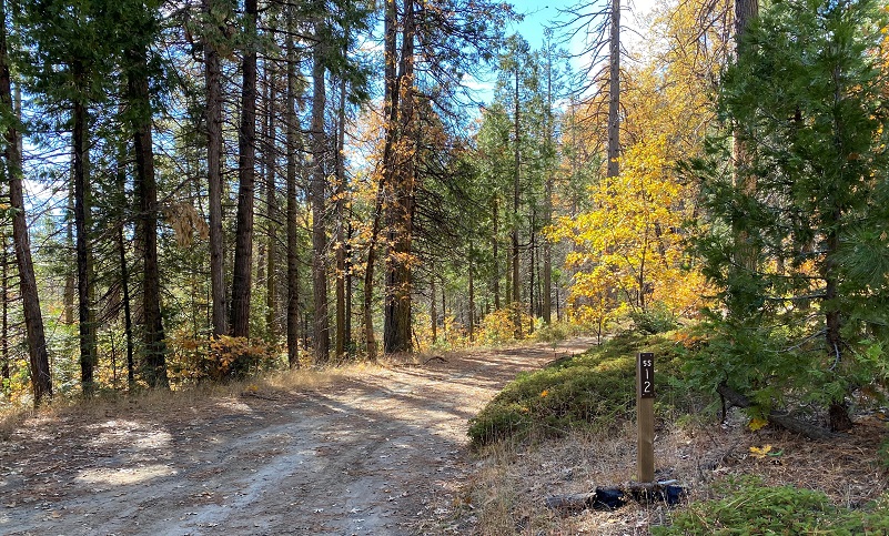
 I reached the junction of 5S12, although there wasn’t a sign. This is the junction where the road also goes down toward Cold Springs and there was a restoration sign, warning about vehicle use in this area that could cause damage. There was also a sign at the junction for the road I had walked up, 5S16, and I turned right at the sign. From To Yosemite by State, I believe this road was the upper road on Grant Grade built by Judge Grant in 1886.
The Grant Grade went from about a mile and a half above Grant Springs (near Old Hwy 49 and Harris Ranch Road just over the county line in Mariposa County), around, underneath the mountain to the right. Lewis, in an interview in 1983, said that the first visitors to Grand Springs Hotel in 1883 came on the state route between Mariposa and Merced, not on the road from Raymond. Sometimes they took Grant Grade over the mountain to Miami Lodge and then down by the old Murphy’s Ranch where they had a saloon and eating house and stage stop, and then on to Wawona. They also built an upper road on Grant Grade that went over the mountain into Hogan Meadow (renamed Sunny Meadow in 1947). The road went through Hogan Meadow and above O’Neal’s Meadow and followed Miami Creek into Miami Lodge.
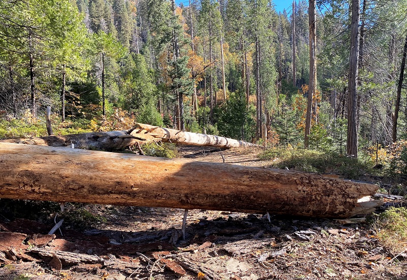
About a half mile up, there were several dead and down trees across the road. Some of them could be maneuvered around by narrow vehicles but I soon reached about 3 showstoppers that no vehicle or horse could get around. A person on a bicycle could carry their bike over these spots though.
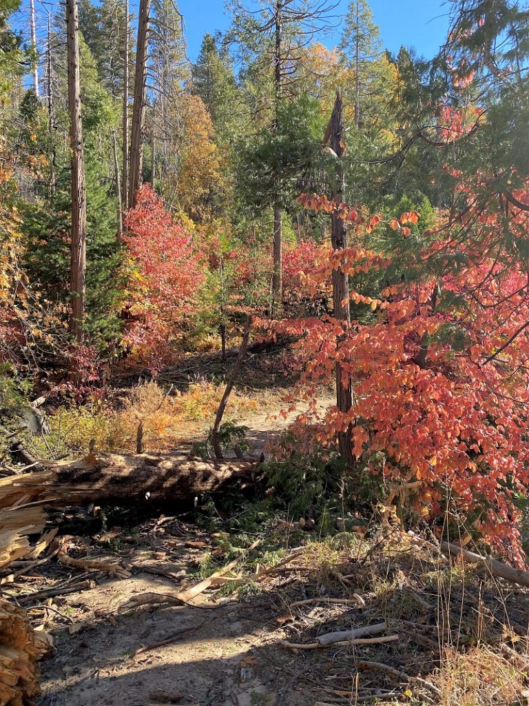
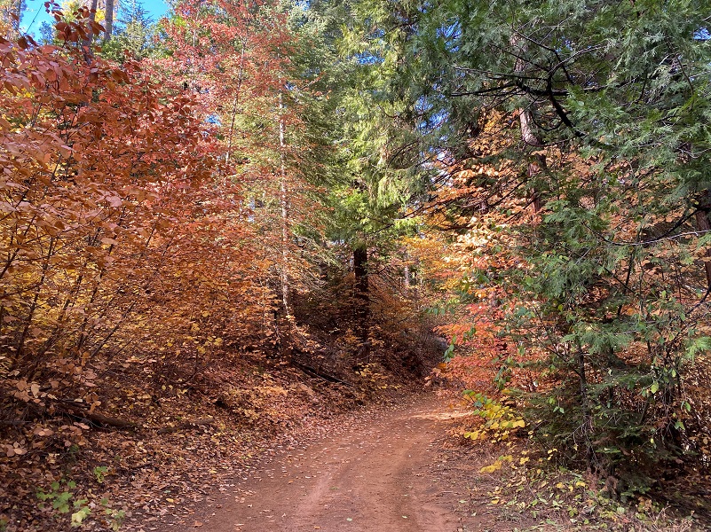
At first the colorful dogwoods were 1 or 2 trees, but now dogwoods were grouped together, showing off small masses of red color.
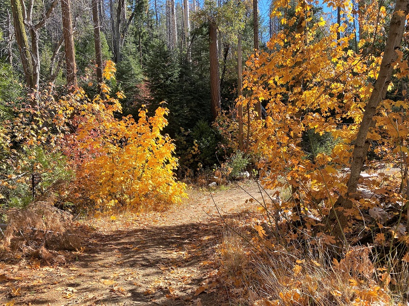
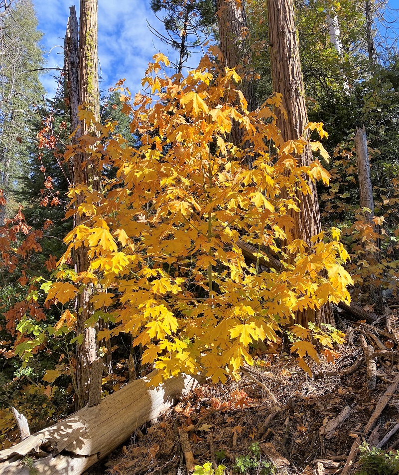
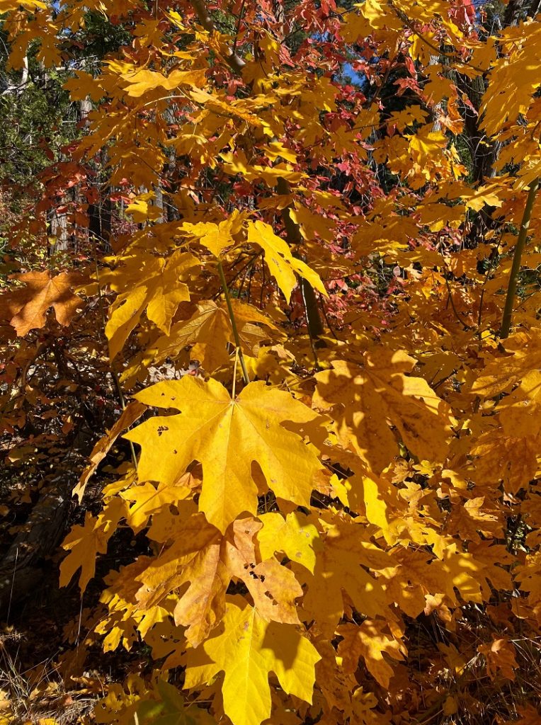
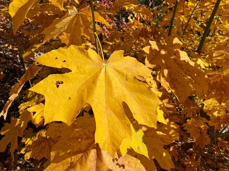
Then the big leaf maples took over the lead role.
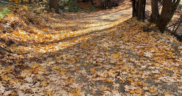
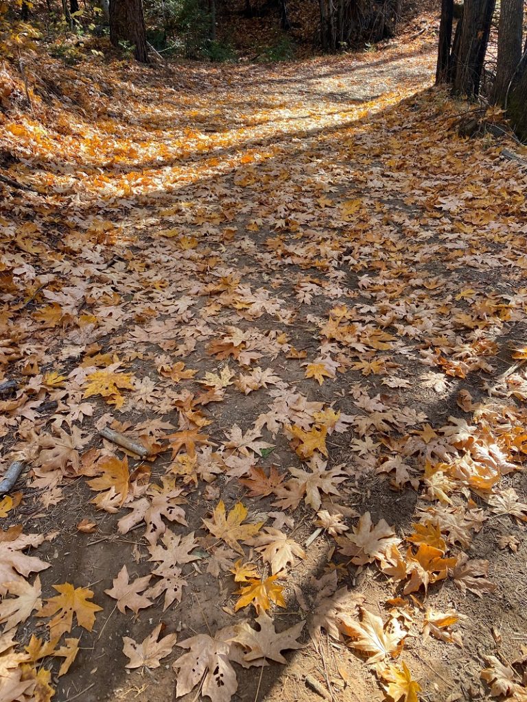
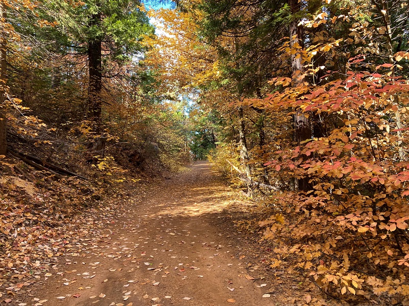
Even the fallen leaves on the road were extra pretty.
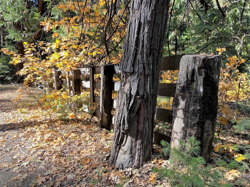
The road that I was walking on skirted the east side of Sunny Meadows, private property, and it was well signed.

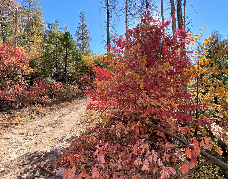
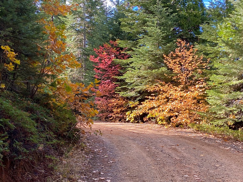
And now it was time for the finale presented by the dogwoods.
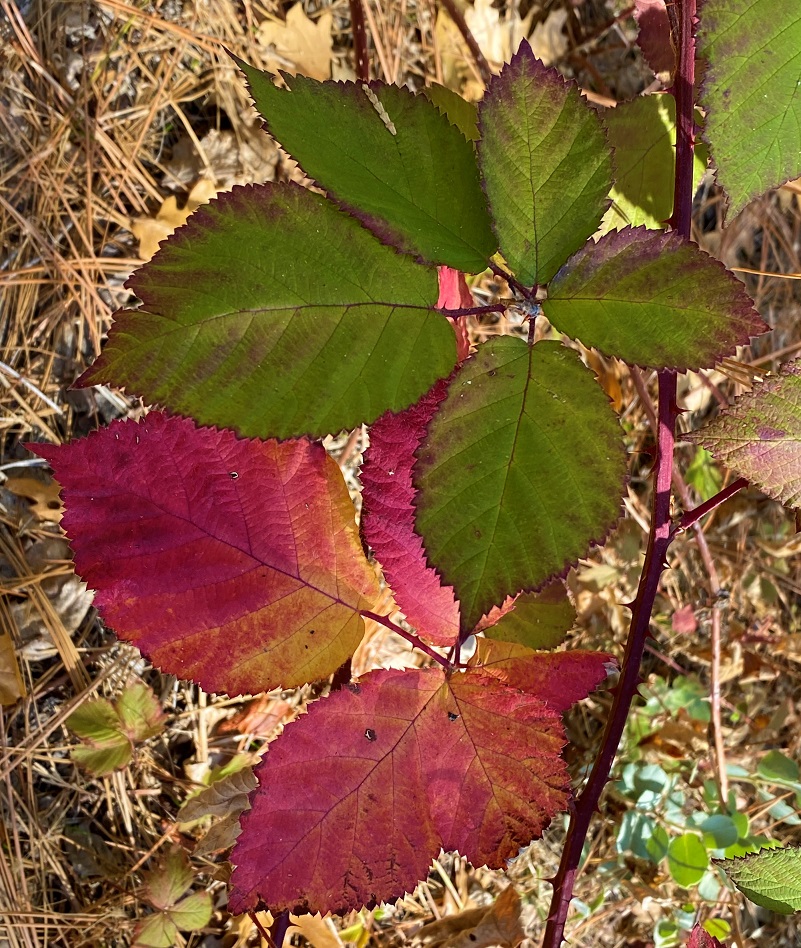
I made it to the junction of 5S12, turning right, where I skirted O’Neals Meadow. I noticed that even the blackberry leaves were getting in the spirit of fall.
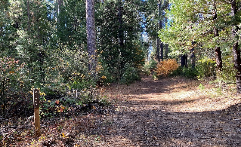 Then I took a right on 5S12X. There have been down trees across this road for a few years but people have cut paths through them or drove around them. There were some new down trees since I walked this road last spring and some of these trees prevent any vehicles for driving on it. For horses, there is a lot of slash on the road and I didn’t see any easy work-arounds for a couple of them but you might be able to find one.


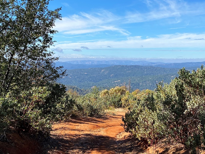
I always love the views as I am coming down the home stretch of this hike. I could see the fog rolling over the coast range this time.
I tied in with N-6S24/Worman Road which led me back to my car. I didn’t see a single soul on my walk. I like to hit the trail early so that is probably one big reason. But I have heard that on the weekends it can be kind of crazy with people on motorcycles and 4 wheelers.
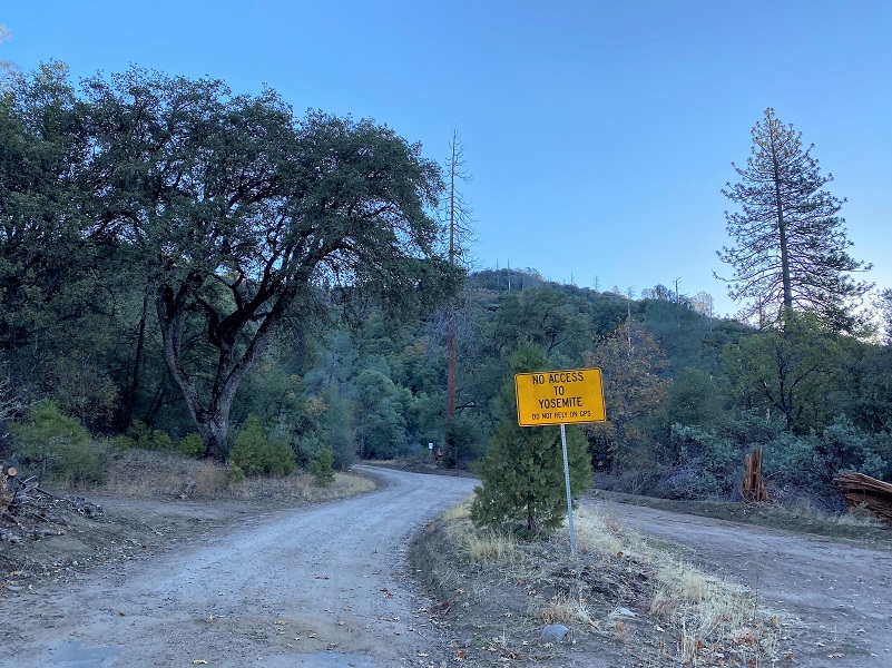
There are many roads and trails to explore in this area and many don’t show up on Topographic Maps. CALTOPO or using a download to the Avenza Map APP are the best that I have found. Links are below the Maps and Profile section toward the end. Other than when I was at my car, I didn’t see anyone on this hike but it does get use from motorcycles, 4 wheelers, bikes, horses and hikers. I suggest you be prepared because the motorcycles can fly by in an instant but you can hear them coming. I try and avoid the weekends in this area for that reason.
Dog Hike? Maybe
This could be a good dog hike if your dog is a good fit. The road is lightly traveled by vehicles so you would need to keep an eye open for a vehicle coming around one of the curves. In the summer you could run into a rattlesnake out here also. This is mountain lion country, along with other wildlife that you could encounter. There were a couple of areas with running water on my hike but it can dry up in summer, so you would probably need to pack dog water.
Doarama:
What is a Doarama? It is a video playback of the GPS track overlaid on a 3 dimensional interactive map. If you “grab” the map, you can tilt it or spin it and look at it from different viewing angles. With the rabbit and turtle buttons, you can also speed it up, slow it down or pause it.
Sunny Meadows to O’Neal’s Meadow Fall Color Loop
Maps and Profile:
CALTOPO has some free options for mapping and here is a link to my hike this week, which you can view or download: CALTOPO: Worman’s Mill to Sonny Meadows and O’Neil Meadows Fall ColorLoop
A great interactive mapping source for these roads can be found at Sierra National Forest ORV Maps where you can download the Off Road Vehicle Maps to follow the roads and trails. Downloading them to the Avenza Map App from that site, you can even track your adventure to share with others or just save.
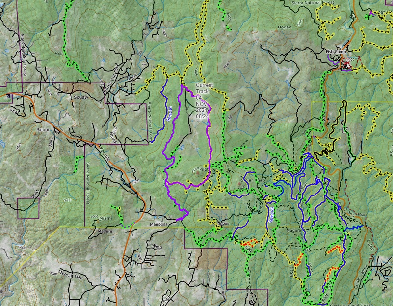
Worman’s Mill, Sunny Meadows Fall Color Loop Topographic Map
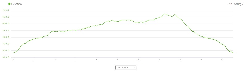
Worman’s Mill, Sunny Meadows Fall Color Loop Profile
Sources:
Dubel, Zelda Garey, To Yosemite by Stage, Zulu.com, Third Edition, 2011.
Wawona’s Yesterdays (1961) by Shirley Sargent
Rare brochure for Yosemite Stage Co. 1900
Rules and Regulations Yosemite National Park, United States National Park Service, 1925
Sierra National Forest ORV Maps
Prior Blogs in this Area:
Walking up a Dirt Road: Worman’s Mill, Sunny Meadows to O’Neal’s Meadow Loop May 18, 2021
Walking up a Dirt Road: Westfall Picnic Area up Miami Mountain Road April 27, 2021
Walking Up a Dirt Road: Worman’s Mill to 4S04 Miami Creek Headwaters April 20, 2021
Walking Up a Dirt Road: Worman’s Mill to 6S09B Above Old Miami Mills January 17, 2021
Walking up a Dirt Road: Westfall Picnic Area up Miami Mtn Road June 2, 2020
Walking up a Dirt Road: Worman’s Mill Loop Along Sunny and O’Neals Meadows May 20, 2020
Walking up a Dirt Road: Worman’s Mill to O’Neals Meadow Loop May 5, 2020
Walking up a Dirt Road: Worman’s Mill to the Lone Sequoia April 28, 2020
Walking up a Dirt Road: Worman’s Mill to Pilot Peak April 22, 2020
Walking up a Dirt Road: Worman’s Mill to O’Neals Meadow April 15, 2020
Walking up a Dirt Road: Worman’s Mill to Sunny Meadows April 10, 2020
Walking up a Dirt Road: Worman’s Mill and Beyond March 31, 2020
In Search of the Lone Sequoia February 13, 2015


