I had been walking the old wagon roads near my house for a while from the Nipinnawasee side, exploring the old homesteads from the 1880s. Many of them tie in with the old Miami Mill area and I was curious how the Sugar Pine side of Miami Mountain Road looked after our January Mono Wind event, especially the Westfall Burial Ground where John Ruffin O’Neal and John Eldridge LaTouche are buried.
Distance: 6.87 Miles (but you can go shorter or longer)
Difficulty: Moderate
Elevation Range: 4,398’′ to 4,813′
Date: April 27, 2021
Maps: CALTOPO: Hiking From Westfall Picnic Area up Miami Mountain Road
Dog Hike: Maybe
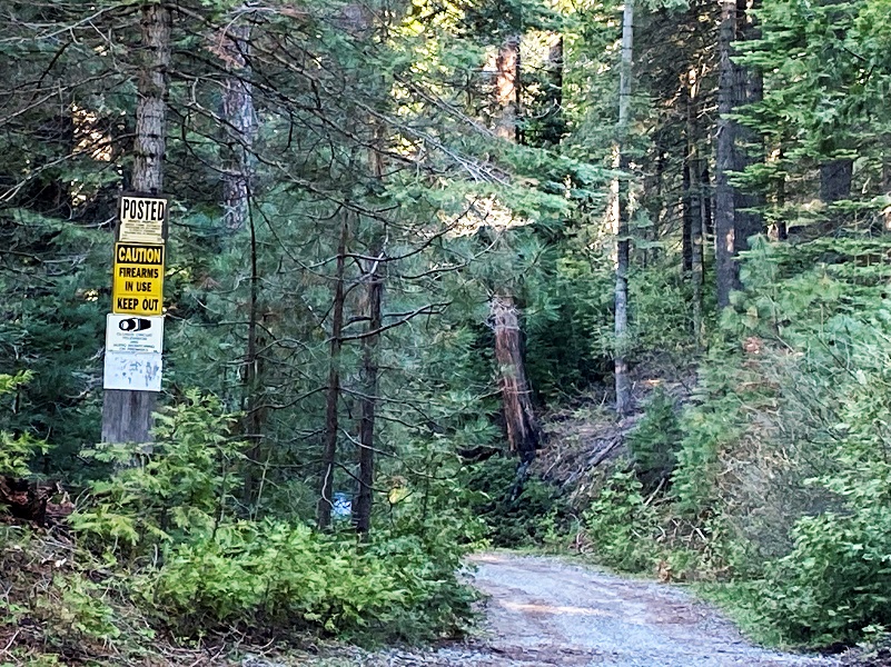
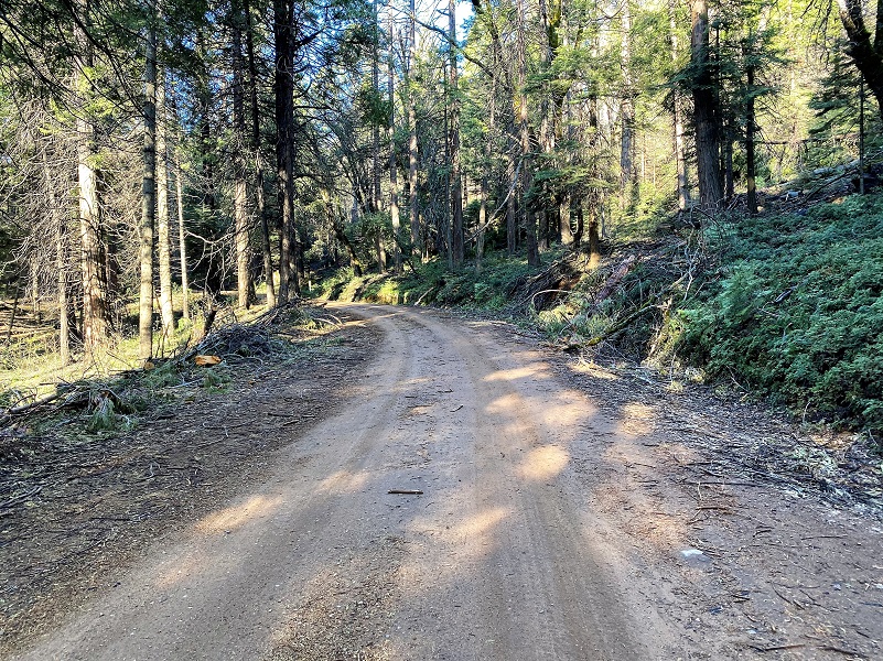 I drove up Hwy 41 toward Fish Camp and my plan was going to park at the Westfall Picnic area but some heavy equipment were working there, moving logs so across the highway, so I drove up Miami Mountain Road to the first good pullout to park. I started walking up Miami Mountain Road, an important early wagon, stagecoach, logging and early automobile route into the Wawona area. An 1885 Yosemite Stage and Turnpike Company Route Map shows the way from Raymond to Wawona. How could I not daydream about the people who traveled this route back in the day? The road looked pretty good at the beginning.
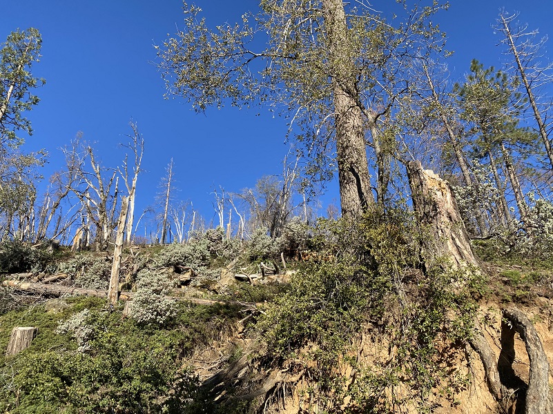
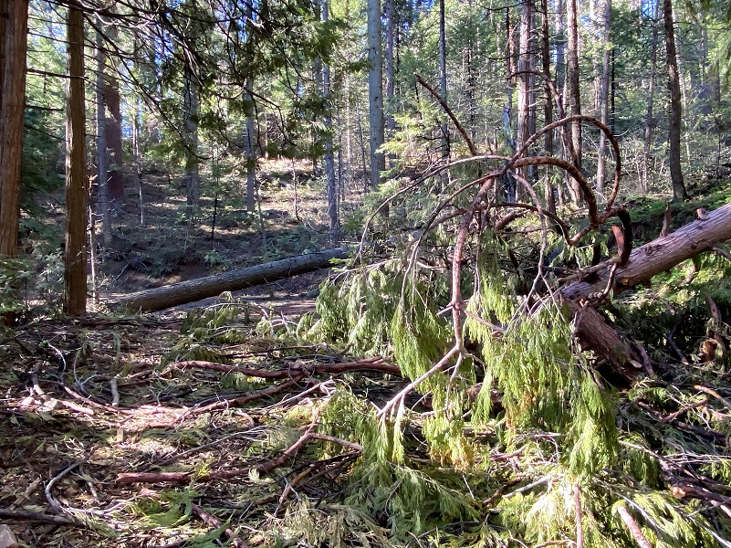
After a short distance, a look above the road showed the devastation that the winds did.
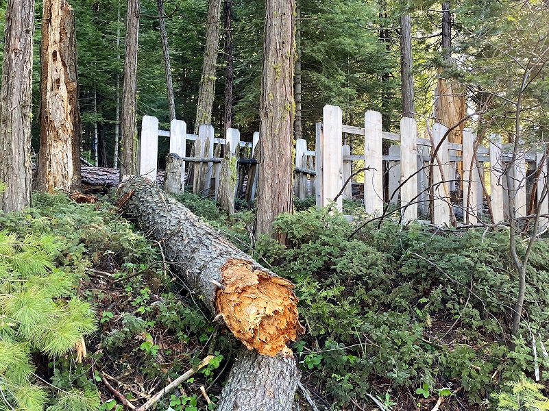
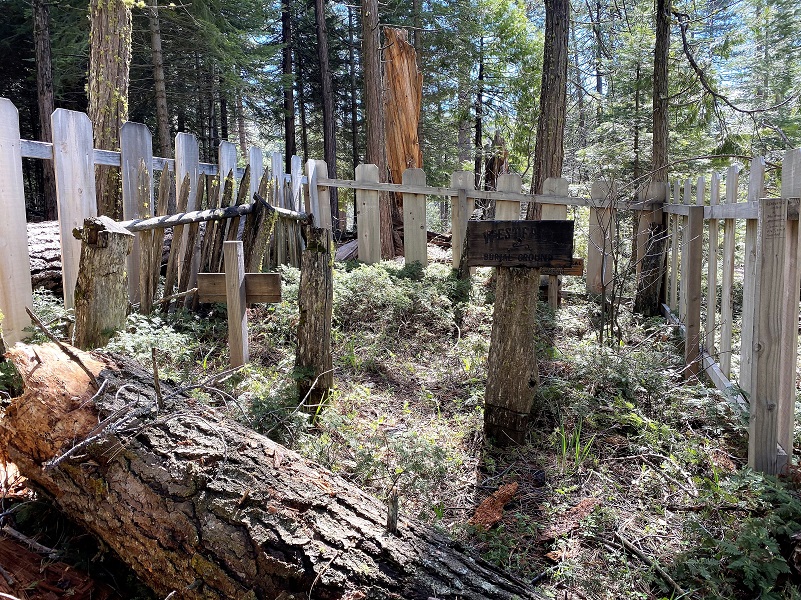
After about 1.3 miles, Westfall Burial Ground was located on the uphill side of the road and I wanted to stop by and check in on a couple of important people.
Only two people were buried here and I have written about John Ruffin “Ruff” O’Neal and John Eldridge “Jack” LaTouche in prior blogs.
O’Neal’s Meadow was named after John Ruffin “Ruff” O’Neal. He was born about 1836 Tennessee or Mississippi, filed for his first homestead of 160 acres at what became known as O’Neals Meadow in 1883. The first time I located him in California was when he registered to vote in 1867 and he was a miner living in Buchanan City near Raymond. When he first settled his homestead in 1882, there were already 3 log cabins and a barn on the property at O’Neals Meadow. Ruff O’Neal owned stock, had a 1 acre apple orchard where he picked two tons of apples in good years. He also raised 3-4 tons of potatoes and harvested 6-7 tons of hay each year. He died in 1891 when he was falling a tree and it pinned his leg underneath it in a way that he could not free himself. They buried him near where they found him in a location that we call the Westfall Burial Ground today.
Daily Morning Republican, Fresno, California, September 25, 1891 https://www.newspapers.com/image/707816591/
When Ruff O’Neal went missing, his long time neighbor John Edridge “Jack” LaTouche searched for him and eventually located him. Jack LaTouche homesteaded and had a cabin by Miami Lodge in the timber above Miami Mountain Road. The Madera Flume and Trading Company (which was later purchased by the Madera Sugar Pine Company) owned the property surrounding LaTouche’s place. Loggers were cutting timber around his house and told him to get out because they were going to fall the timber and if he didn’t leave, they might fall a tree though his house. He owned the land and didn’t think that they had a right to cut the timber, so he didn’t leave. The loggers cut a huge tree which did fall through the cabin and killed him May 16, 1893, 2 years after “Ruff” O’Neal died.

Mariposa Gazette, Volume XXXVIII, Number 49, 20 May 1893
They had a close call with a falling tree in the recent wind storm but the small cemetery was intact. I wandered around a bit above to see if I could imagine where Ruff O’Neal might have been cutting his tree because it had to be close by. There were a few snags up there though so I didn’t linger long.
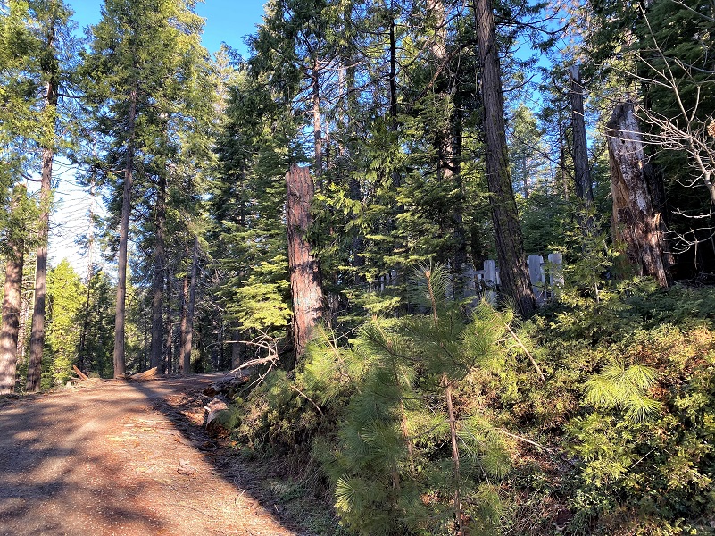
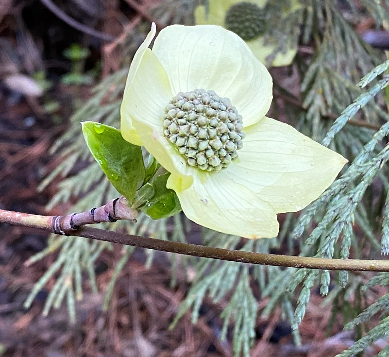
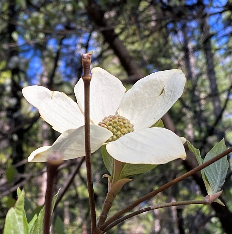
I wandered on up the road with areas of blooming dogwoods.
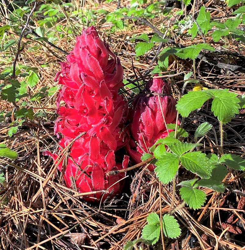
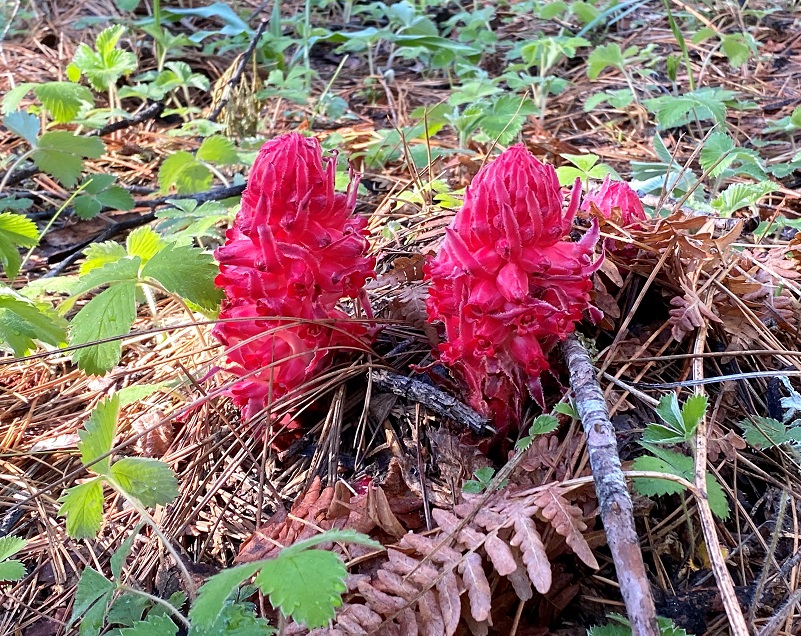
There were a few snow plants along the road. These unique plants do not contain any chlorophyll and they receive their nutrients from fungi underneath the soil on conifers. They grow in pine needles and forest litter near a conifer. The brilliant red part of the plant begins to grow in spring.
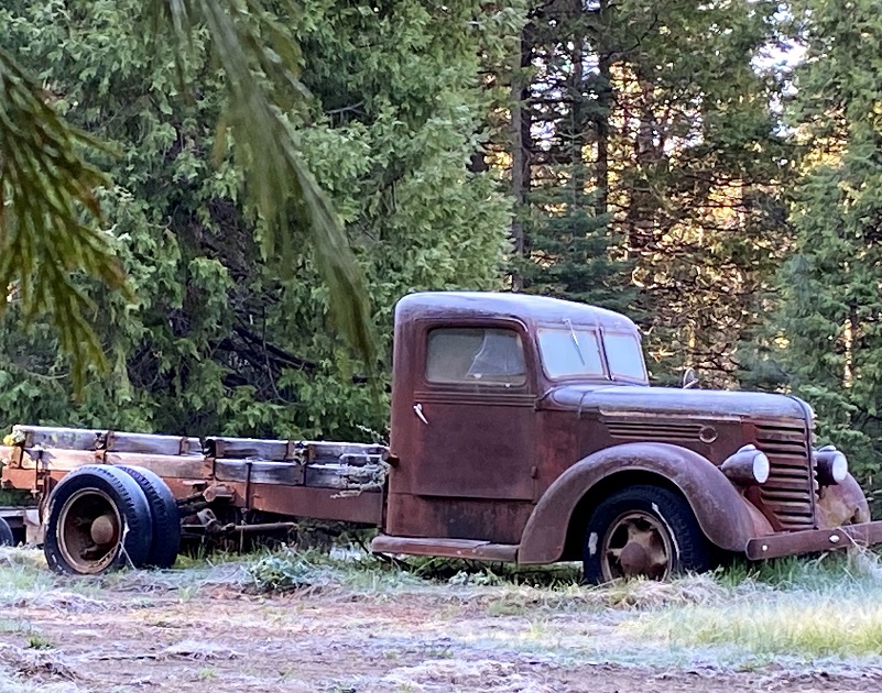
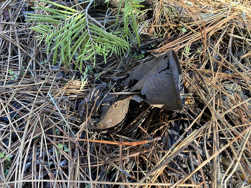 Every once in a while I thought I might be spotting where an old building used to be and I poked around, sometimes finding a reminder of gone days.
I soon reached the lower part of what used to be utilized as a mill, now private property. It has been known by other names over time such as Miami Lodge.
Miami Creek runs through this property and that is likely why it received its name. A sawmill was planned at this location back in 1881 by William H. Crooks who lived at Gertrude and he went into partnership with Edwin James Leonard. The sawmill was referred to at times as Crooks & Leonard’s (Grant) saw mill. The sawmill operated at this location until it was moved near the Worman Brothers Sawmill and the new location was known as Miami Sawmill. A new investor, and the original sawmill location was improved and was back in operation there in 1884. It was operational in 1884 when it hauled lumber into Yosemite Valley to build Degnan’s Bakery. After the railroad came to Raymond in 1886, lumber from the Miami Sawmill was hauled by a team of 6 horses to build a one room grammar school. There is plenty of documentation on the use of the lumber that was milled from this sawmill being used in the area. Crooks sold his investment in 1891 and after Judge Grant died that same year, the mill moved into the possession of Dr. Castle (Cassell) and he started operating the mill under contract to the Madera Flume & Trading Co. The lumber was hauled from the mill to the flume at Gertrude (Poison Switch) by team then transported by flume to Madera. In 1902, Cassell deeded the sawmill holdings to Arthur Hill of Saginaw, Michigan and Elddridge Merick Fowler of Pasadena.
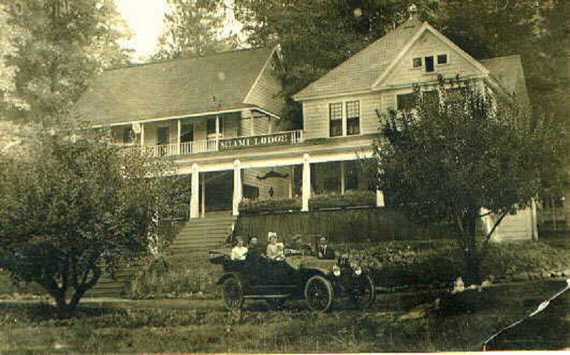
In 1907/8, William Marin Sell leased the Ahwahnee Tavern to Edwin Town “Ed” Huffman and he operated it as a lunch station for his auto stages. He started the “Horseshoe Route” into Yosemite, autos coming from Merced and across from Mariposa. In 1911 he operated auto stages from Madera to Wawona, then in 1913 he moved to Miami Lodge. He enlarged the old Miami Lodge Hotel that had been built sometime after the sawmill started in 1882, built some new buildings and moved some cabins. Miami Lodge was now a stage and luncheon stop for the automobile stages.
I continued on the road, crossing Miami Creek.
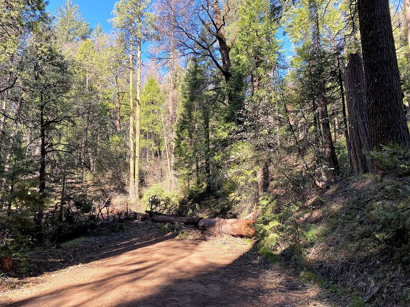
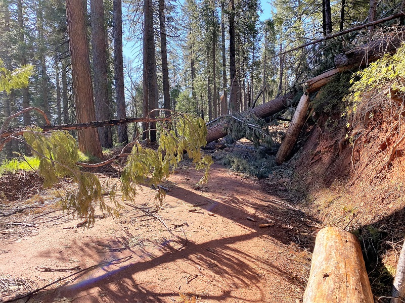
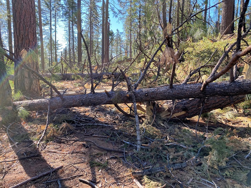
It wasn’t very long until I started coming across down trees, and some good sized ones. No vehicles would be getting past this mess.


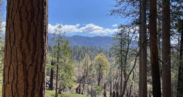
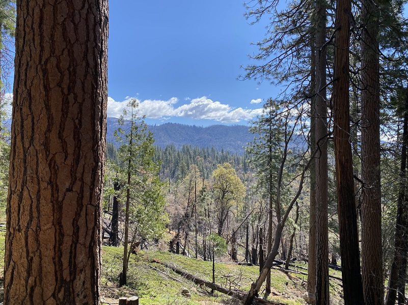
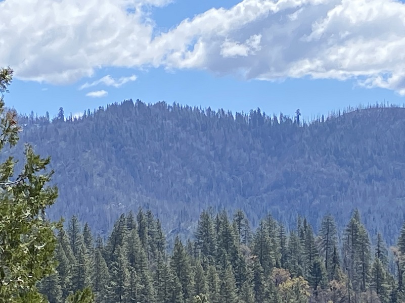
I headed up 06S063, planning on exploring a bit of country around Silver Knob but the down trees soon became not as much fun as they had been earlier. I backtracked and walked out 06S017 to check out the view, then headed back the same way I had walked in. Yes, back over, under and around the down trees. As I got closer to civilization, how could I not admire the wonderful views.

And even a view up to Nelder Ridge. I wonder which Giant Sequoia is standing out from all of those others?
There is an outstanding book by Zelda Garey Dubel on the history of our area called To Yosemite by Stage: Raymond to Wawona and Remembering Cedarbrook Inn. It is full of interesting history that I often reference and it has a section on the Westfall Burial Ground. That is where much of my information comes from for this blog.
Dog Hike? Maybe
This could be a good dog hike if your dog is a good fit. The road is lightly traveled by vehicles so you would need to keep an eye open for a vehicle coming around one of the curves. I would imagine in the summer that you could run into a rattlesnake out here also. This is mountain lion country, along with other wildlife that you could encounter. There were a couple of areas with running water on my hike but it probably dries up in summer, so you would probably need to pack dog water.
Doarama:
What is a Doarama? It is a video playback of the GPS track overlaid on a 3 dimensional interactive map. If you “grab” the map, you can tilt it or spin it and look at it from different viewing angles. With the rabbit and turtle buttons, you can also speed it up, slow it down or pause it.
Westfall Miami Mountain Road Doarama
Map and Profile
CALTOPO has some free options for mapping and here is a link to my hike this week: CALTOPO: Hiking From Westfall Picnic Area up Miami Mountain Road
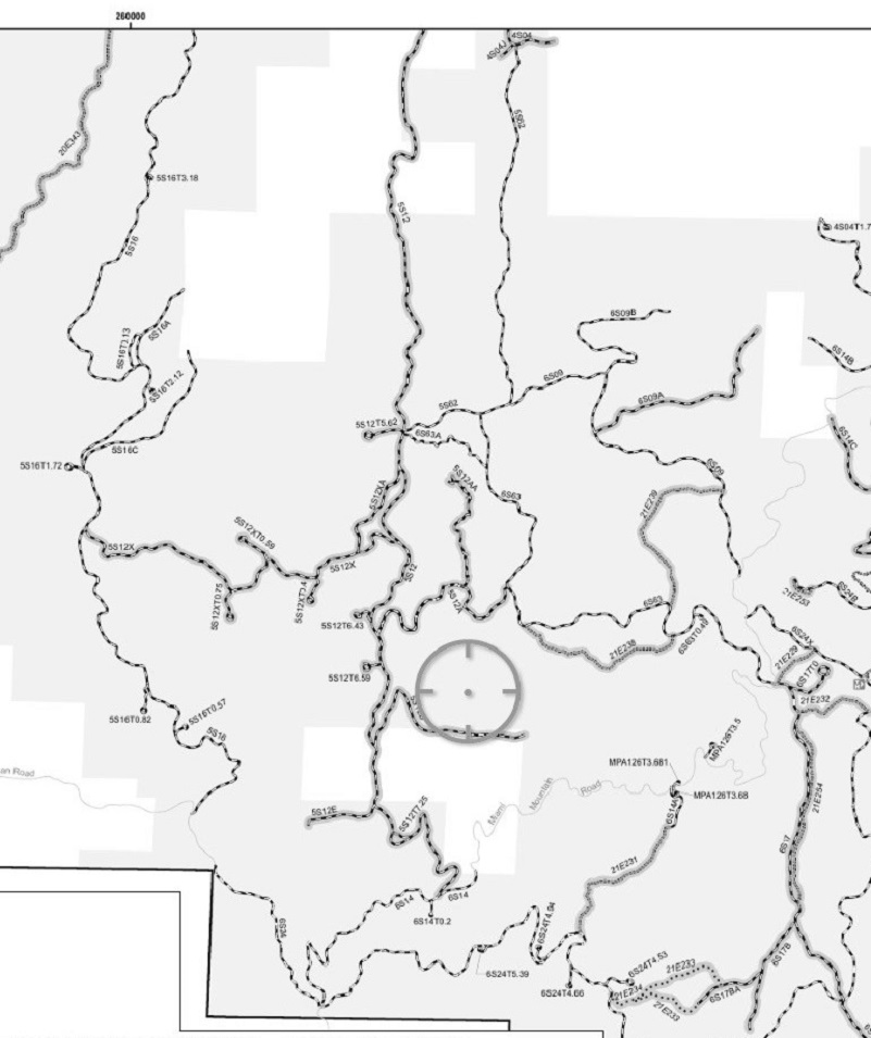
A great interactive mapping source for these roads can be found at Sierra National Forest ORV Maps where you can download the Off Road Vehicle Maps to follow the roads and trails. Downloading them to the Avenza Map App from that site, you can even track your adventure to share with others or just save.
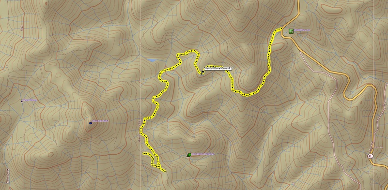
Westfall Picnic Area up Miami Mountain Road Topographic Map

Westfall Picnic Area up Miami Mountain Road Profile
Sources:
Dubel, Zelda Garey, To Yosemite by Stage, Zulu.com, Third Edition, 2011.
Wawona’s Yesterdays (1961) by Shirley Sargent
Rare brochure for Yosemite Stage Co. 1900
Rules and Regulations Yosemite National Park, United States National Park Service, 1925
Sierra National Forest ORV Maps
Madera Tribune, Volume XXXIV, Number 111, 12 September 1924
Madera Mercury, Number 149, 13 September 1924
Fresno Daily Republican, September 25, 1891
Mariposa Gazette, Volume XXXVIII, Number 49, 20 May 1893
Prior Blogs in this Area:
Walking Up a Dirt Road: Worman’s Mill to 4S04 Miami Creek Headwaters April 20, 2021
Walking Up a Dirt Road: Worman’s Mill to 6S09B Above Old Miami Mills January 17, 2021
Walking up a Dirt Road: Westfall Picnic Area up Miami Mtn Road June 2, 2020
Walking up a Dirt Road: Worman’s Mill Loop Along Sunny and O’Neals Meadows May 20, 2020
Walking up a Dirt Road: Worman’s Mill to O’Neals Meadow Loop May 5, 2020
Walking up a Dirt Road: Worman’s Mill to the Lone Sequoia April 28, 2020
Walking up a Dirt Road: Worman’s Mill to Pilot Peak April 22, 2020
Walking up a Dirt Road: Worman’s Mill to O’Neals Meadow April 15, 2020
Walking up a Dirt Road: Worman’s Mill to Sunny Meadows April 10, 2020
Walking up a Dirt Road: Worman’s Mill and Beyond March 31, 2020
In Search of the Lone Sequoia February 13, 2015


