Home » Tag Archives: Tioga Pass (page 2)

Articles about Tioga Pass

Hiking 20 Lakes Loop with Sally & Fannie

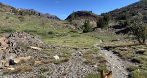
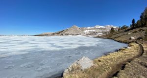
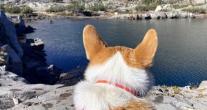
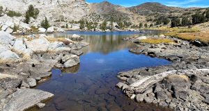
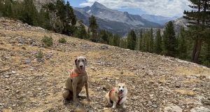
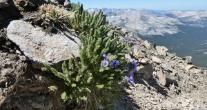
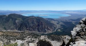
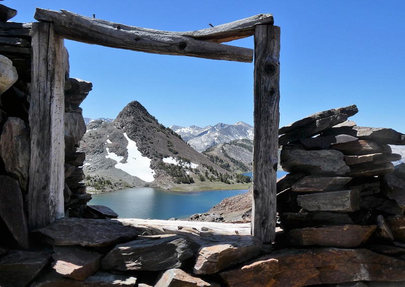
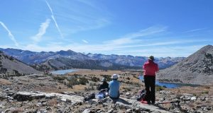
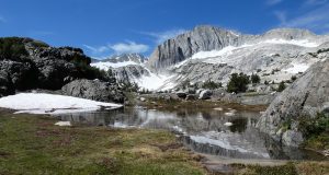
Sally the Weimaraner and Fannie the Corgi loved their adventure on the 20 Lakes Loop Trail, especially the part where they got to play in the snow! Located in the Hoover Wilderness, this trail led us by beautiful lakes, small tarns and mountains still streaked with snow. Where: Inyo National Forest, Hoover WildernessDistance: 8.7 MilesDifficulty: ModerateElevation Range: 10,092′ – 10,359′Date: ...

Read More »

Hiking & Fishing with Sally & Fannie at Shamrock Lake

Sally the Weimaraner, Fannie the Corgi and I finally got the go-ahead to hike in Tioga Pass’s Hoover Wilderness after it had been reopened after the fire danger closures. I could feel winter knocking on the door as we walked by iced over small lakes. I brought my fishing pole along just in case . . . Where: Inyo National ...

Read More »

Camping and Hiking With Sally and Fannie at Saddlebag Lake

Camping with the dogs for four days in the Tioga Pass area was a great getaway from the smoke. Sally, Fannie and I did a little hiking, a little wandering, a little relaxing, some wading, and we all took a few good naps. Where: Harvey Monroe Hall Research Natural Area, Hoover Wilderness, Inyo National ForestDistance: 5.94 MilesDifficulty: Moderate to StrenuousElevation ...

Read More »

Hiking From Tioga Lake Up To Dana Plateau

If you are up to a good workout to a land that escaped the glaciers, Dana Plateau is a good one. And if you go now, you will see beautiful columbine blooms which are at their prime in the bouldery wash as you hike up there. Those columbines don’t stick around very long though. And you just might get a ...

Read More »

Hiking 20 Lakes Loop with Sally

The Twenty Lakes Loop trail led my dog Sally and I along beautiful lakes in the Hoover Wilderness. Lakes and tarns reflected snow covered mountains and those columbine were blooming like crazy! Where: Inyo National Forest, Hoover Wilderness Distance: 9 Miles Difficulty: Moderate Elevation Range: 10,094′ – 10,360′ Date: August 6, 2019 Maps: Falls Ridge and June Lake Topographic Quads ...

Read More »
Sierra News Online

Sierra News Online