Adventuring close to home, I walked the same dirt roads, followed different spur roads, giving me a looped walk along a historic stage route that carried Yosemite tourists to Wawona starting in the 1880s.
Distance: About 11 Miles (but you can go shorter or longer)
Difficulty: Easy to Moderate
Elevation Range: 3,418′ to 4,994′
Date: May 13, 2020
Maps: Ben Hur and Daulton Topographic Maps
Dog Hike: Maybe
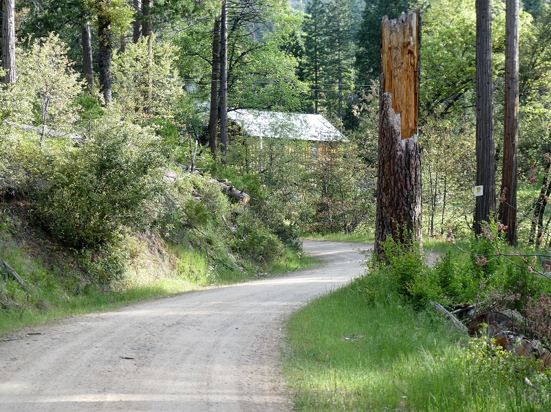
 I walked out more of the dirt roads near my house that I had been adventuring on, aiming to walk every spur road I could while I was staying at home and social distancing. It was a cooler spring day with a light breeze, no gnats or mosquitoes, but I had brought my bug net and spray just in case. I started my walk across from Worman’s Mill, parking off the road in a wide spot at the intersection of Road 601 and Worman Road and making sure I wasn’t blocking anyone. I headed up Worman Road which turns into N-6S24.
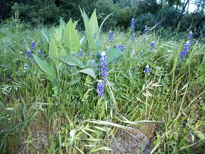
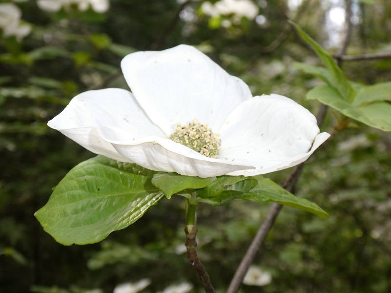
I had taken a walk up in this area every week since April 12 and it was very interesting to see the changes in the vegetation as spring was waking up the bushes and wildflowers. Things were changing each and every week, this week with lupine lining the road on the south exposure.
The California buckeye blooms were getting longer but not bursting their blooms yet.

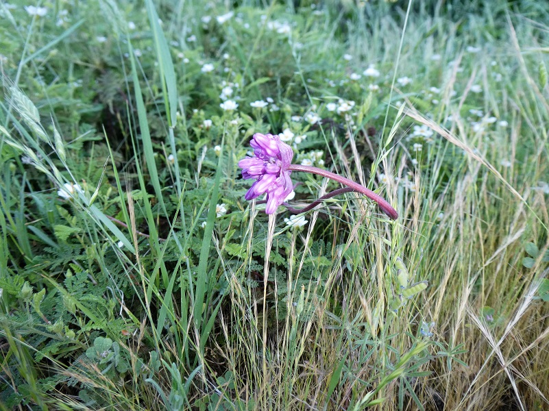
Twining Brodiaea wrap around whatever plants might be near it.
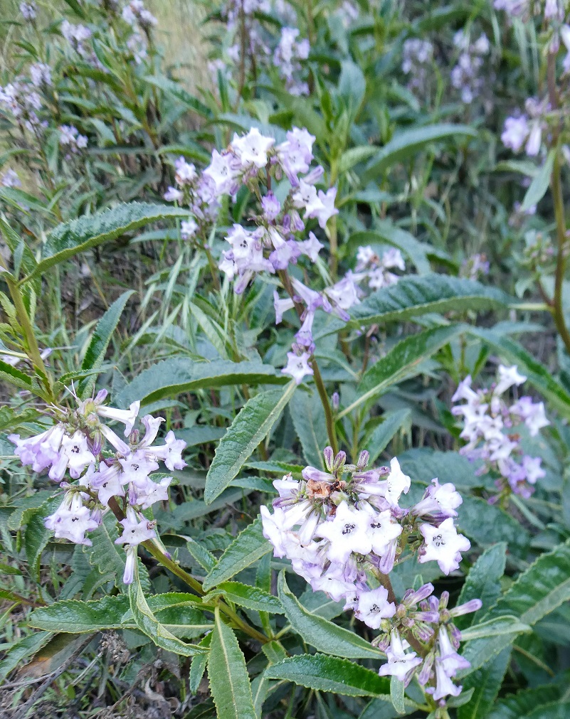
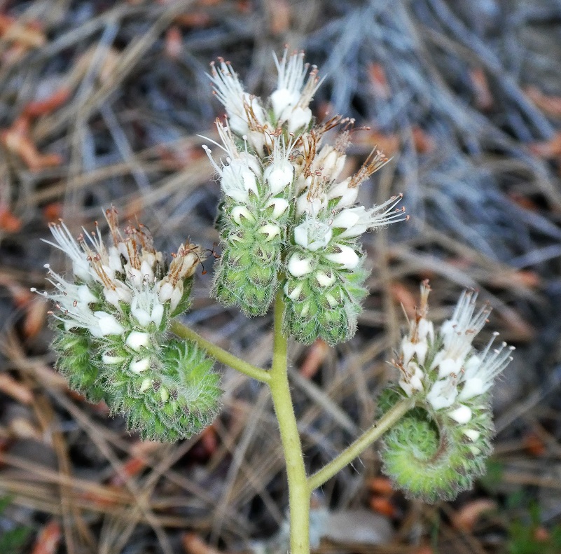
California Yerba Santa was blooming. Yerba Santa was highly valued by many California tribes including the Salinan, Ohlone, Miwok, Pomo, and Yokuts who continue to use it for various medicinal purposes. The Spanish who came to early California were so impressed with the plant that they gave it the name Yerba Santa, meaning holy plant. Yerba Santa was introduced to the Spanish Padres at Mission San Antonio de Padua by the Salinan tribe and it became one of three major medicinal herbs used at the mission
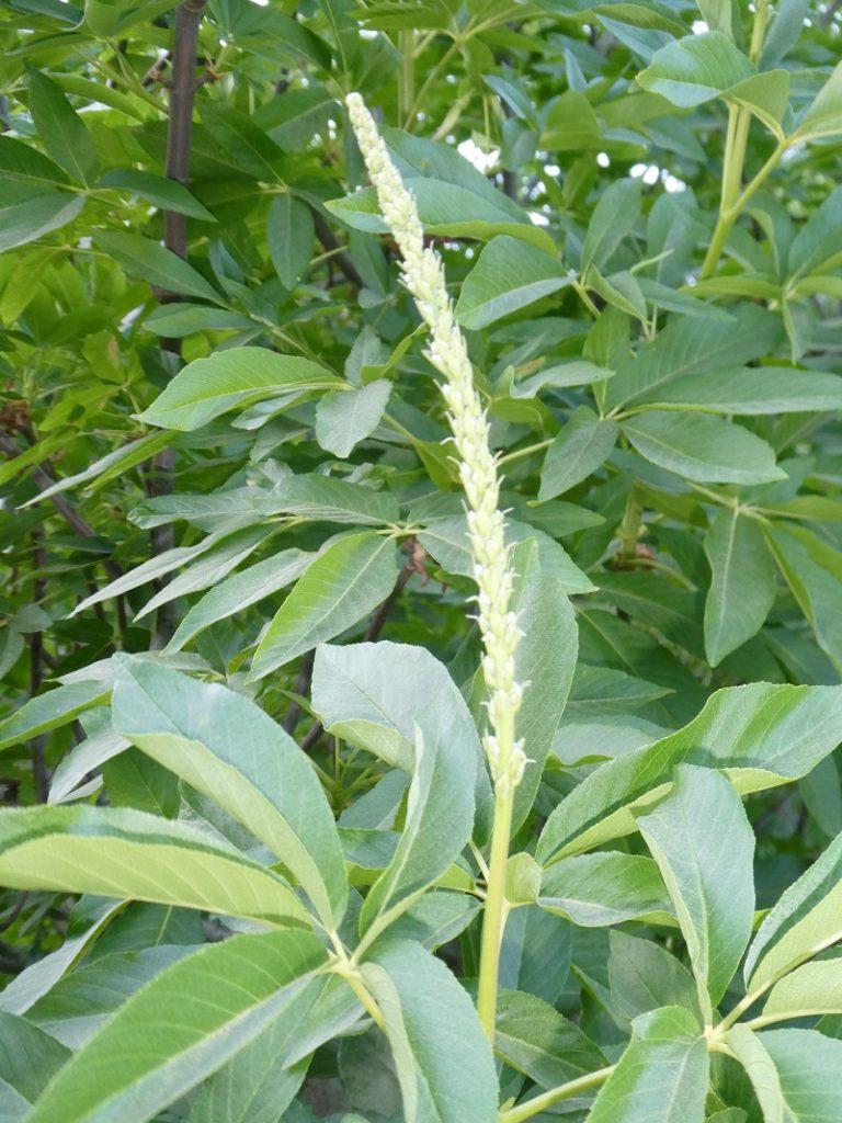
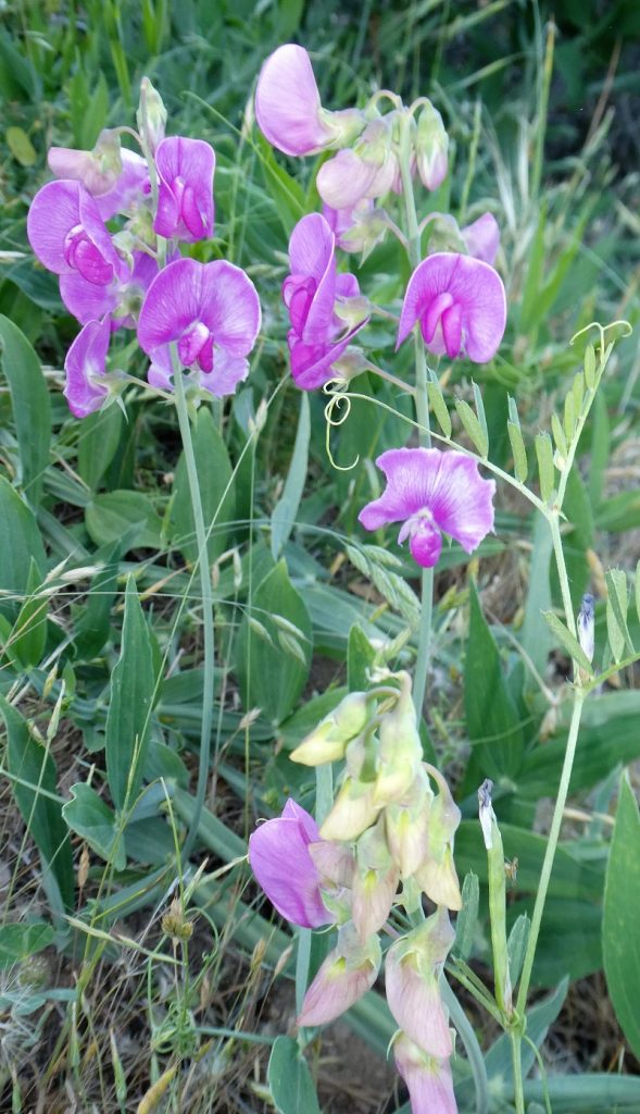
I think this might be a sweet pea but I have never seen it in this area.
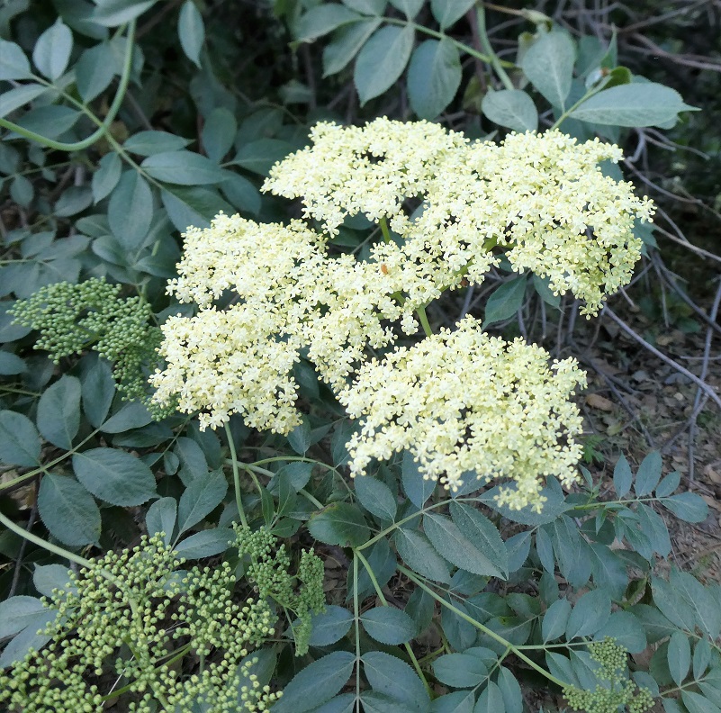
I think this is blue elderberry.
Not sure what this alien looking plant is.
Fremontia (aka flannel Bush) was blooming along the south facing slope.


About 1.1 miles, I took the road to the left signed 6S14.
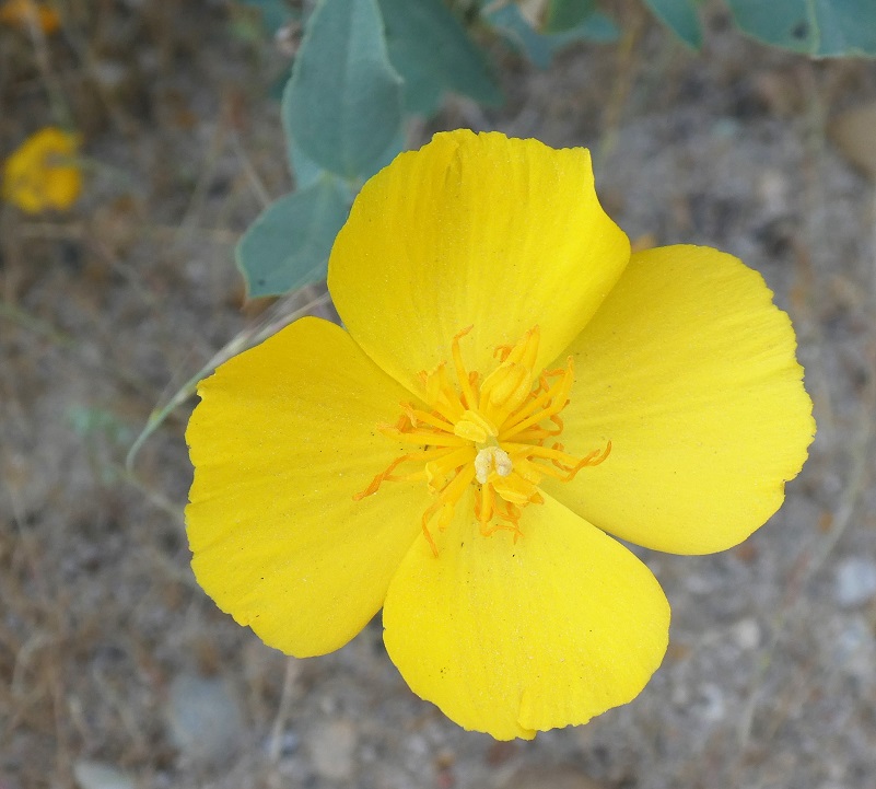
There were many more bush poppies blooming this week.

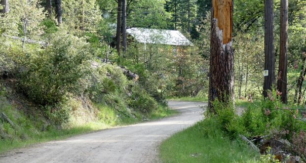
The road was in good shape and kept winding its way gradually uphill.


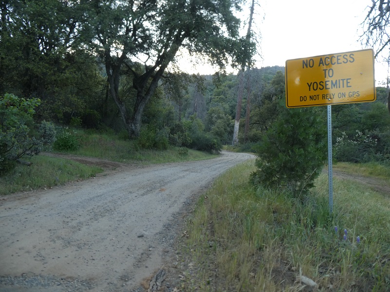
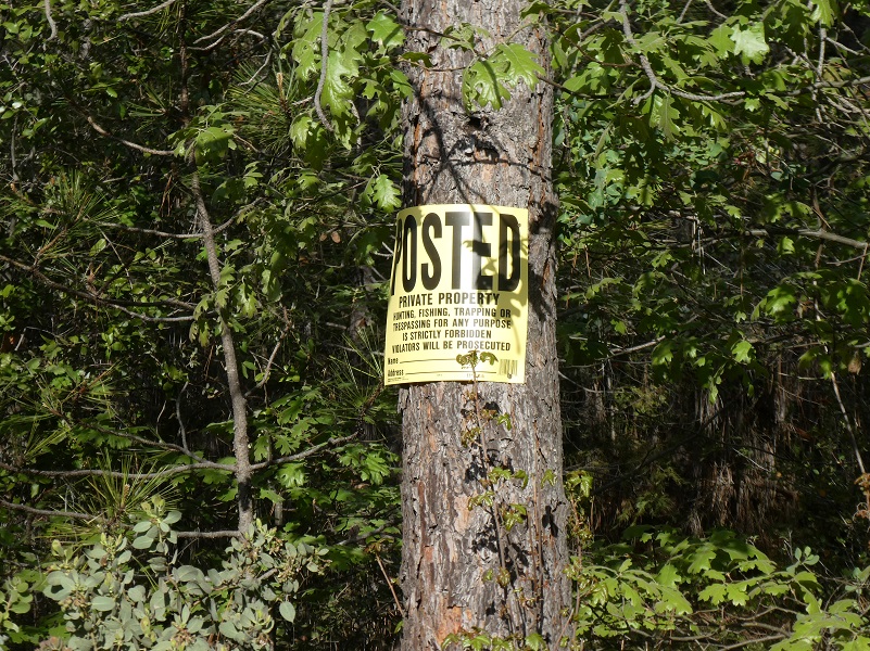
After I reached the junction of the spur road, 5SW12, that I took last week. I stayed on the main road though, 6S14, toward Cedarbrook Inn. I knew that this road entered into private property and wasn’t sure if the road was open through it but I gave it a try.
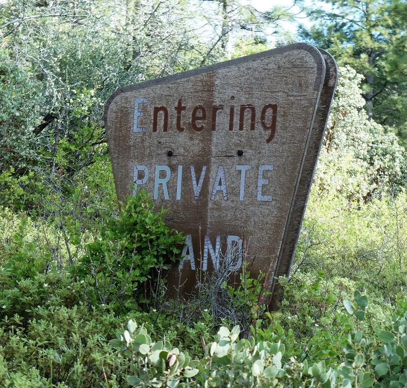
The area was clearly posted.

As I rounded the bend, I could see the beautiful structures of Cedarbook Inn. As I rounded the bend in the road, two dogs were barking and came out on the road toward me. I wasn’t motivated to go any farther since I was by myself and didn’t want to risk getting dog bit.
The Cedarbrook Inn holds an important place in history and we are very lucky that Zelda Garey Dubel captured this in her outstanding book called To Yosemite by Stage: Raymond to Wawona and Remembering Cedarbrook Inn. Much of the information for this area comes from this book.
Within the book, she included a report that was prepared by Ralph R. Mendershausen, for the Historical Resources Data File in Mariposa County. Within that he said that Pocomo or Pohono springs was an early Indian site and was apparently the site of a battle between Indians and Whites over horses. In 1870, a timber claim was established here and the name Cedarbrook was coined.
She and her husband purchased the Cedarbrook Inn which was located on the original state road into the Wawona entrance to Yosemite National Park. They lived there from 1956 to 1961, selling the property in 1964. She shares in the book that the first federal patent for the property was in 1893 by Freeland Holmes Woodard who died in 1909 but the property remained in his family until 1912. Mr. and Mrs. A.C. Shaw purchased the property and built the Cedarbrook Inn.
There were several routes into Yosemite but after the railroad reached Raymond in 1886, tourist would take the train to Raymond, spend the night, then they boarded horse drawn stages up to Wawona. Hwy 41 or the route that it follows wasn’t in existence yet, so the stage went from Raymond through Grub Gulch, stopping at Ahwahnee for lunch, through Nipinnawasee past Cedarbrook property, Miami Lodge, Fish Camp and ended at Wawona. The Inn was an overnight stage stop for the Washburn Stages heading to Yosemite and could hold 60 overnight guests. Tourists could spend the night at Wawona and if they wanted to visit Yosemite Valley, they could go there.
Zelda Garey Dubel’s book is such a treasure because she takes you along this stage route, sharing history, pictures and we get to learn about the people who lived in this area back in the day. Branches Bookstore in Oakhurst may have the book but I was unable to verify this for the blog.
Mendershausen description is of a two story structure with shake siding and roof. The Old Inn had casement windows upstairs and 1 x 1 downstairs and surrounding porches. Small gabled porch is in the middle of the second story. Three cottages and an annex were built in the 1920’s but only one is now habitiable. Upstairs are 5 bedrooms and 3 bths; downstairs on left of entry are 3 bedrooms and 2 baths. The center downstairs is the kitchen attached to the storeroom. On the right side is a large lodge room with a big stone fireplace. Across the road stood the old stable; portions of it recently collapsed. Zelda added that was not the original stable which was torn down and the Annex is on the site of the old stable.
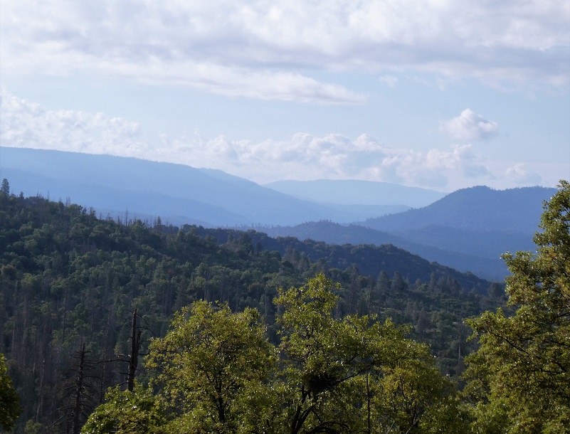
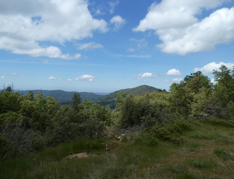
So I turned around and took the spur road that I had just passed, 5SW12, toward O’Neals Meadow. As the road climbed, there are some very pretty view spots.
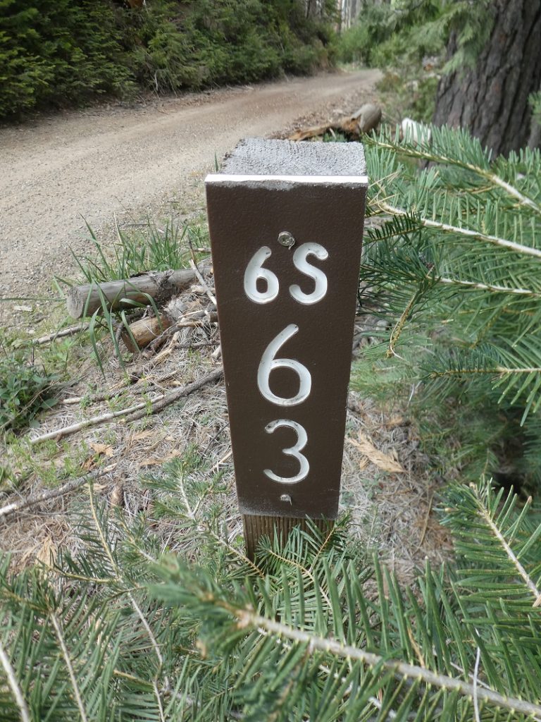
After I wrote my last blog, I continued to do some research on Cora Ives and knew that I wanted to visit where she lived again to see if I could walk in her footsteps a little more. The old dirt road that led into the upper end of O”Neal’s Meadow was yielding clues when I followed it in from the south but what about coming in from the north side? What could I find? I followed the dirt road that I was on to 5S12, and close to where the main junction of the road takes you down toward Sonny Meadows and the north side of the mountain, I saw the sign for 6S63A and followed it to the right. Motorcycles and used this part of it quite a bit but I sure didn’t know what shape the road would be as I headed out.

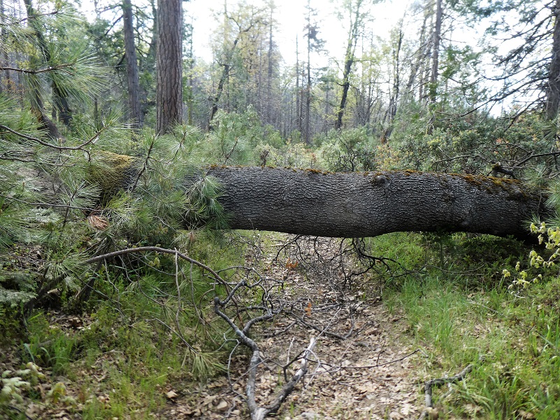
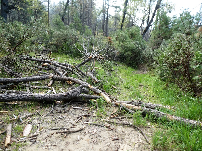
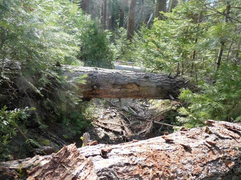
It wasn’t long before I started encountering some down trees over the road but they were nothing that I couldn’t walk around or climb over.
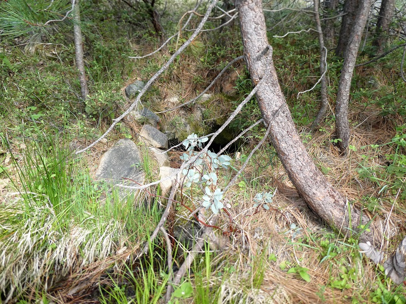
And one of the rewards that I received while I was walking around this first batch of down trees is that I found an old spring box. O’Neals Meadow was irrigated by John O’Neal and I am sure that Cora Ives also did this. There were several water sources that were diverted or flumed to achieve this and I was thrilled to find this rock lined box. I could make out how the “creek” that it followed had been modified at some point by someone to carry the water in a direction other than the given lay of the land.
I kept at it, crawling over, under and around for close to a mile until I reached this mess of down trees. There really is a road under those down trees. I didn’t have far to reach the location of the old structures but seeing this mess and being by myself, not know if there was an even bigger mess after these, made me decide to turn around.
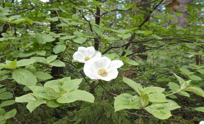
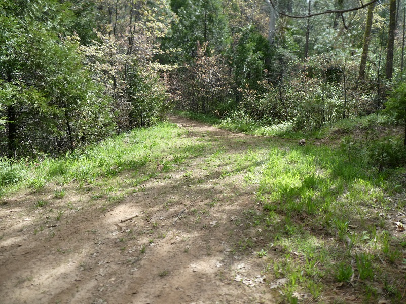
I continued back to the main road and took it to the northeast. I think it is 5S12 but it is after the fork where the road heads to Sonny Meadows so don’t know if the road changes names at that point and there was no road sign. The dogwoods were really blooming along the road and were perfect looking blooms.

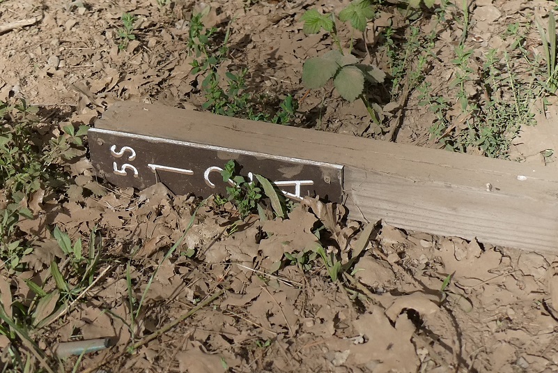
After about 1.2 miles I came to the sign 6S63, which ties in with 5SW12 and followed it to where the other end of the old dirt road headed into the upper end of O’Neals Meadow. A sign lying on its side read 5S12A.
This was the same way that I had come into the meadow the week before and I followed the road which narrowed down to a motorcycle width until I reached where it turned into the meadow.
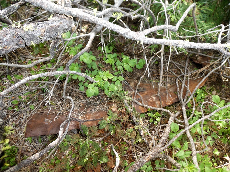
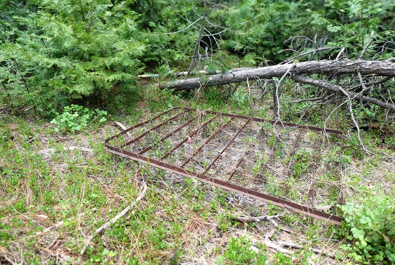
I believe this is the area where the cabins for both John O’Neal and Cora Ives were located. I knew that John O’Neal’s house, barn and other buildings had burned down by 1922. The cabins and buildings that Cora Ives had had been torn down by 1968. I did some hunting around for signs of them and I located old foundation stones, part of what looked like an old tin roof and even an old bed frame.
As I slowly walked toward the meadow, I found old barbed wire and fruit trees.

I headed through the wet meadow, no wildflowers yet but plenty of corn lilies.

And since they were blooming, I could easily spot many old apple trees.

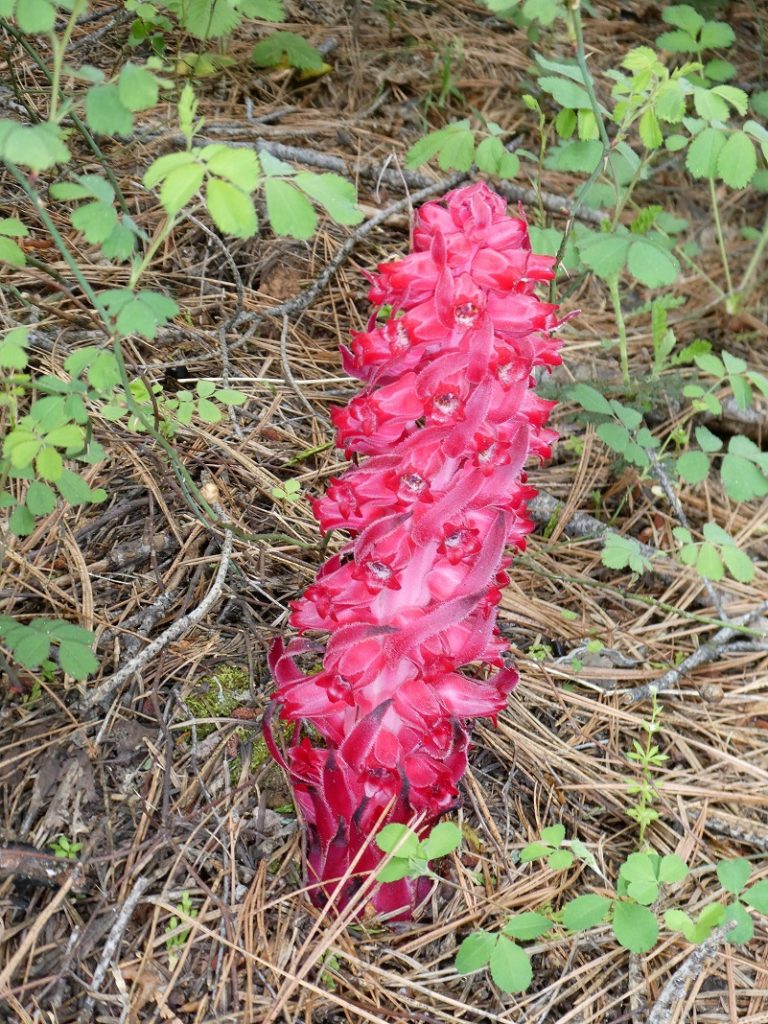
I continued wandering toward the south end on the meadow and tied back in with 5S12 then to 5S12X. I spotted a few snow plants on my way back
I tied in with N-6S24/Worman Road which led me back to my car.
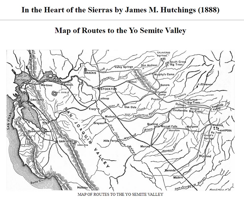
I may have made you dizzy with all of the road numbers used on this walk up a dirt road. I know it can be confusing. I highly recommend you have a map when you are out in this area. The good news is that you can download one for free at the Sierra National Forest Maps & Publications website or pick a copy up at their offices. The free downloadable Motor Vehicle Use Map is through the Avenza Maps App but they say it is not printable. I took a screenshot of the map of the area, emailed it to myself, prettied it up a little, printed that out, and that worked fine for me. You can use the Sierra National Forest map but the detail is kind of small for the area but you can also blow that up and print it so you don’t have to take the big map. My Western Topog Map on my GPS does show all of these named roads.
I had the dirt roads pretty much to myself, saw one guy in a pickup as I started, then as I was coming down, a gal on a horse and a guy who had set up a cooking fire along the road. You can expect to see 4 wheelers and motorcycles on this road.
Dog Hike? Maybe
This could be a good dog hike if your dog is a good fit. The road is lightly traveled by vehicles so you would need to keep an eye open for a vehicle coming around one of the curves. I would imagine in the summer that you could run into a rattlesnake out here also. This is mountain lion country, along with other wildlife that you could encounter. There were a couple of areas with running water on my hike but it probably dries up in summer, so you would probably need to pack dog water.
Doarama:
What is a Doarama? It is a video playback of the GPS track overlaid on a 3 dimensional interactive map. If you “grab” the map, you can tilt it or spin it and look at it from different viewing angles. With the rabbit and turtle buttons, you can also speed it up, slow it down or pause it.
Walking From Worman’s Mill To Cedarbrook & Around O’Neals Meadow Loop Doarama
Map and Profile:
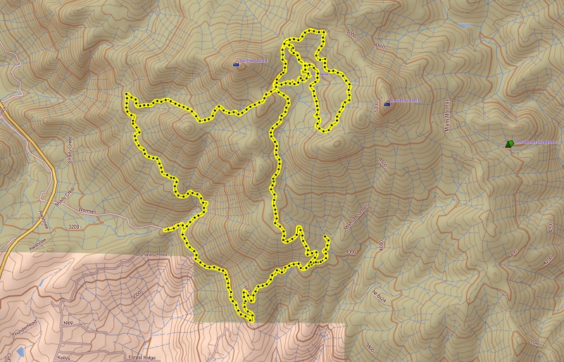
Walking From Worman’s Mill To Cedarbrook & Around O’Neals Meadow Loop Topographic Map
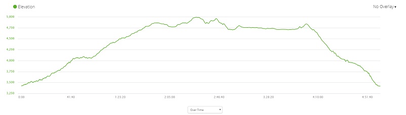
Walking From Worman’s Mill To Cedarbrook & Around O’Neals Meadow Loop Profile
Sources:
Dubel, Zelda Garey, To Yosemite by Stage, Zulu.com, Third Edition, 2011.
Mendershausen, Ralph R., Historic Sites Survey, Historic Resources Data File on Cedarbrook Inn, February 5, 1982.
Greene, Linda, YOSEMITE: THE PARK AND ITS RESOURCES; A History of the Discovery, Management, and Physical Development of Yosemite National Park, California, U.S. Dept. of the Interior, National Park Service, September 1987
In the Heart of the Sierras by James M. Hutchings (1888)
Prior Blogs in this Area:
Walking up a Dirt Road: Worman’s Mill to O’Neals Meadow Loop May 5, 2020
Walking up a Dirt Road: Worman’s Mill to the Lone Sequoia April 28, 2020
Walking up a Dirt Road: Worman’s Mill to Pilot Peak April 22, 2020
Walking up a Dirt Road: Worman’s Mill to O’Neals Meadow April 15, 2020
Walking up a Dirt Road: Worman’s Mill to Sunny Meadows April 10, 2020
Walking up a Dirt Road: Worman’s Mill and Beyond March 31, 2020


