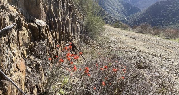
I was in the mood for a good conditioning hike with some miles and a climb. 12 miles with about 2,000 elevational gain at the Merced River at Briceburg would do the trick. It was a little early for the beautiful spring wildflowers that this area is known for but I found a few early birds. Oh, and I had a surprise along the way!
Where: Bureau of Land Management (BLM), Merced River Recreation Management Area
Distance: About 12 miles roundtrip but you can go shorter or longer
Difficulty: Moderate to Strenuous
Elevation Range: 1,139′ – 3,111′
Date: February 22, 2021
CALTOPO: Hiking From Briceburg Up the Burma Grade and Beyond
Dog Hike? Maybe
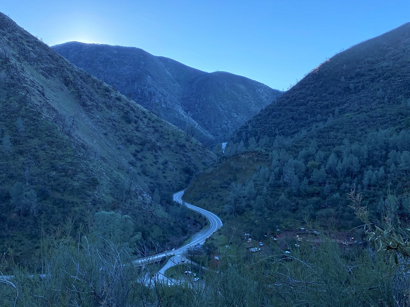
 To reach Briceburg, I drove up Hwy 140 north about 15 miles from Mariposa to the Briceburg Visitor Center at the Merced Wild & Scenic River. You can’t miss the beautiful old stone building that William M. Brice, who Briceburg was named after, built in 1926 as Highway 140 into Yosemite was being built. Originally it was a general store for locals and tourist. Gasoline pumps were later added, and it also provided lodging and had a soda fountain over the years. The BLM acquired the property in the 1980’s and refurbished the building to its near-original condition to be used as a visitor center. The Visitor Center is currently closed and expected to reopen the first weekend of May. For more history about William Brice, check out my prior Briceburg Blog.
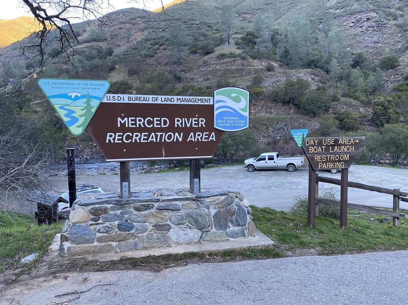
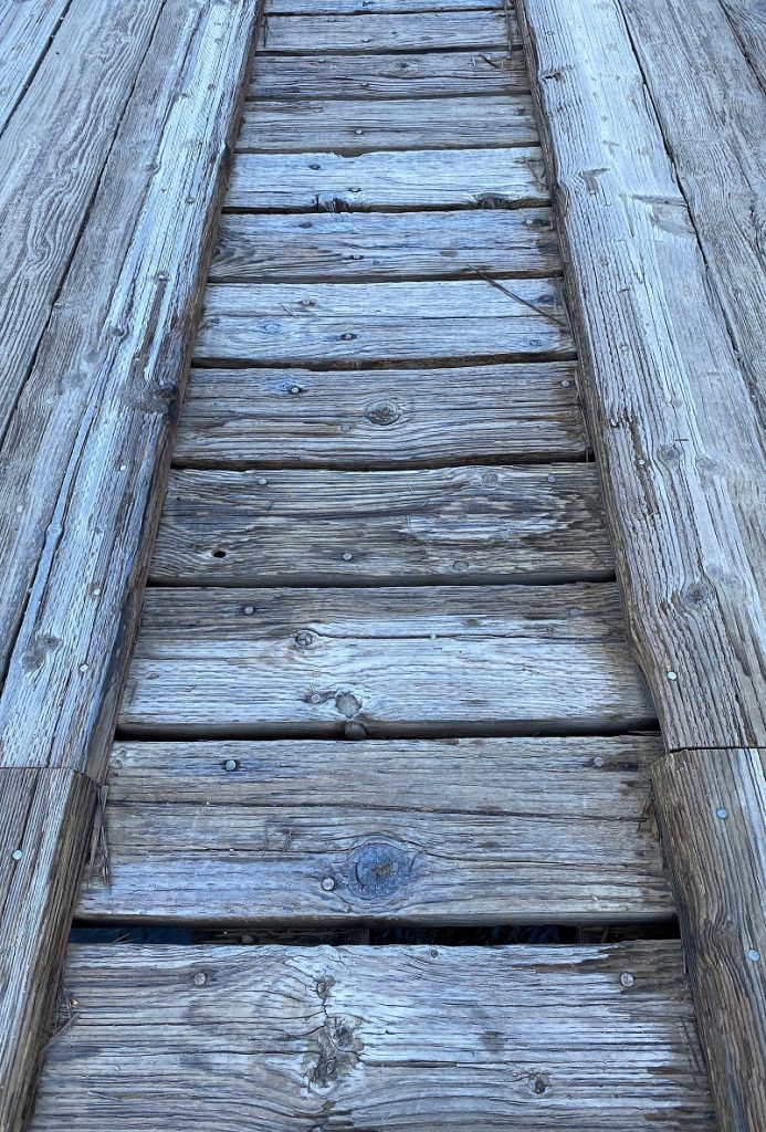
After driving by the Visitor Center, I parked in the parking area along the Merced River where the restroom is located and it was a brisk 33 degrees. I like to park in this area and walk across the suspension bridge, checking out the views of the river. They don’t recommend that trailers over 18 feet and large RV’s cross the suspension bridge.

I soon discovered that the wooden planks of the bridge were icy, so I was walking kind of funny across it. Most of the stepping was fine but every once in a while, one step would slide a bit and that would make my heart rate go up a smidge.
After the bridge, the Burma Grade starts to the right where there is a small parking area that is perfect if you are going to follow the Merced River Trail upriver on the historic Yosemite Valley Railroad bed. Or you can follow the Merced River Trail downriver, which is especially pretty in the spring when the wildflowers are blooming.
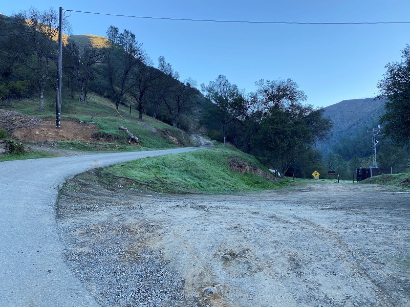
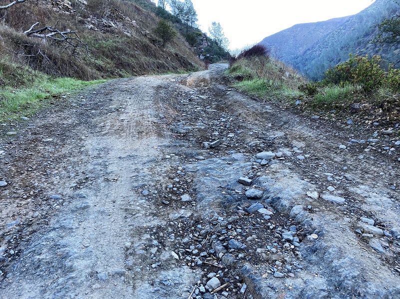
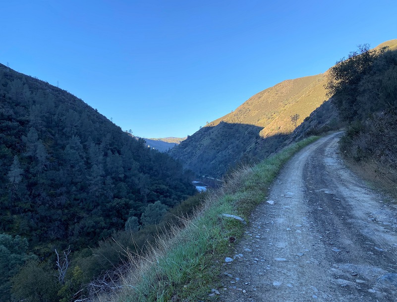
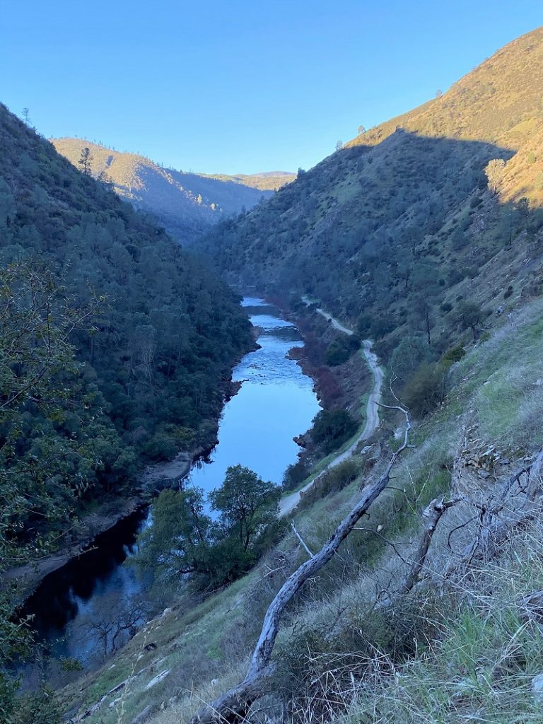
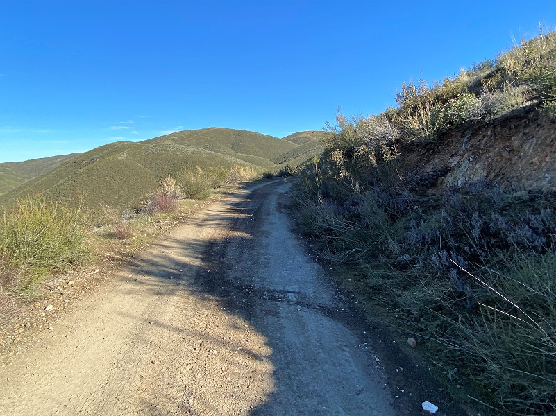
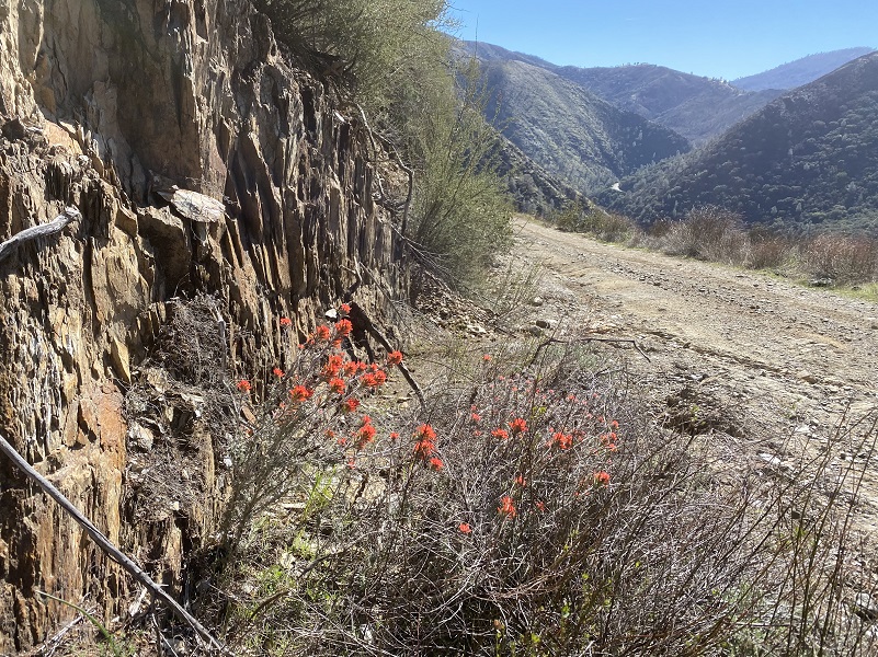
The Burma Road is also known as the Briceburg or Bull Creek Road and immediately starts to climb along a steep road that is basically one lane wide with switchbacks that takes you up the hill. It is also called the Burma Grade. As you climb, you have incredible views of the Merced River, Briceburg, the suspension bridge, and Hwy 140. Besides hikers, high clearance 4 wheelers, motorcycles and mountain bikers also use this road. The road can have washouts, slides and deep ruts, closing it some years but when it is open, I understand you can get to Greeley Hill or Buck Meadows from Briceburg.
I had almost reached the top of the Burma Grade when I spotted movement out of the corner of my eye across the road in front of me and walked to the edge of the road to see if I could spot whatever it was. Maybe it was a coyote? Well, turns out if was a hang glider and they were yelling “sayonara” as they flew over the road and up the river canyon. You just don’t see that every day!
I continued up the road and past the gate, which is at about 4.5 mile mark.

If I were to continue going straight, there is a bunch of country I could visit and I hope to explore more of this area some day.
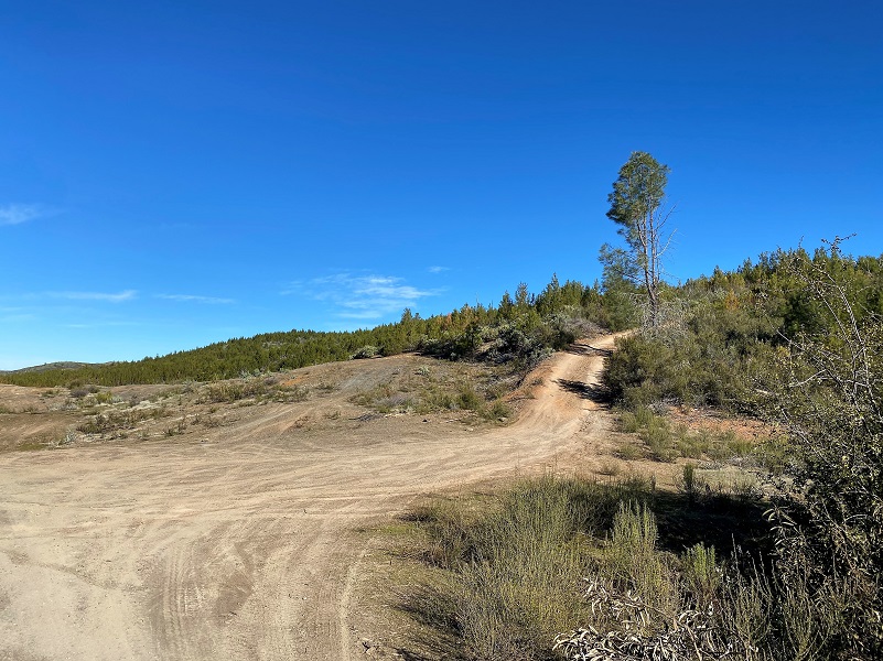
But I took the road to the right. I had been up this road a little ways a few years back and had seen a lot of dozer work on fuel breaks and old fire breaks. I wasn’t sure what shape the road would be in but if things worked perfectly I could follow this set of roads out and loop back to the top of Burma Grade. And if it wasn’t in the cards, I would turn around and come back the same way I came in, all good exercise.
Many fires have run through this area and near it over the recent years so I thought you might like to look at a map with those fires. If you click on the map picture, it will get larger.
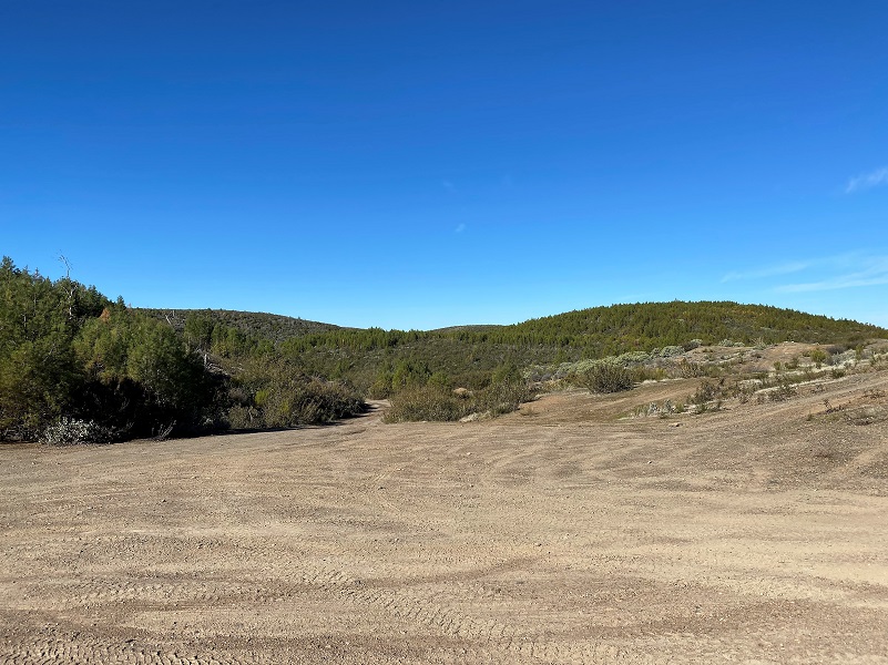
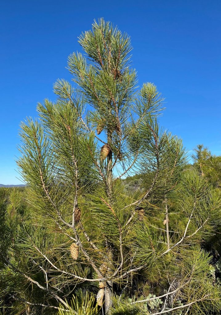
Besides the fuelbreak activity, this area has a very large young knobcone pine stand which is a species that has adapted to fire. Its cones stay closed for many years until a fire opens them, then they can reseed themselves. On older trees, you can see the cones embedded in the trunk as the tree grows.
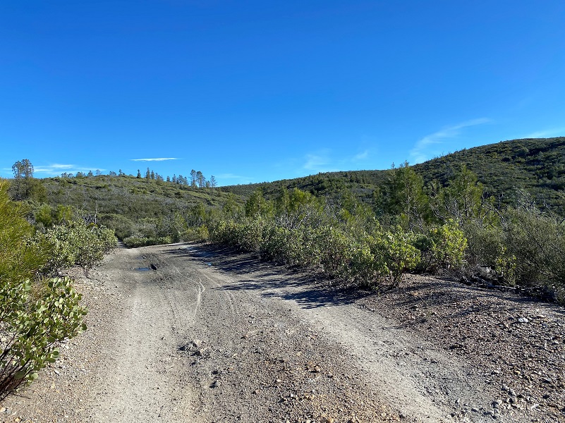
I continued on up the road, taking the right forks in the road.

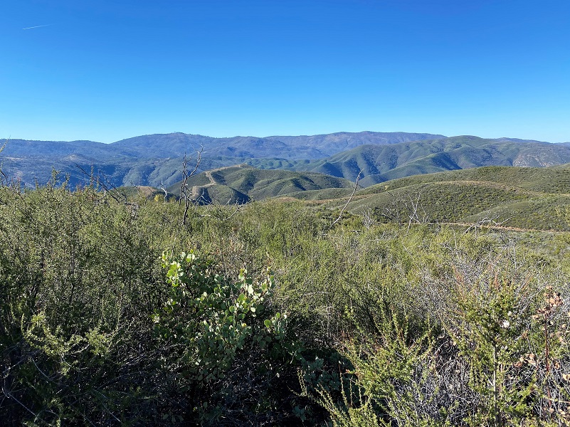
I could see some snowy views ahead of me and was looking forward to getting to a good spot to check them out.
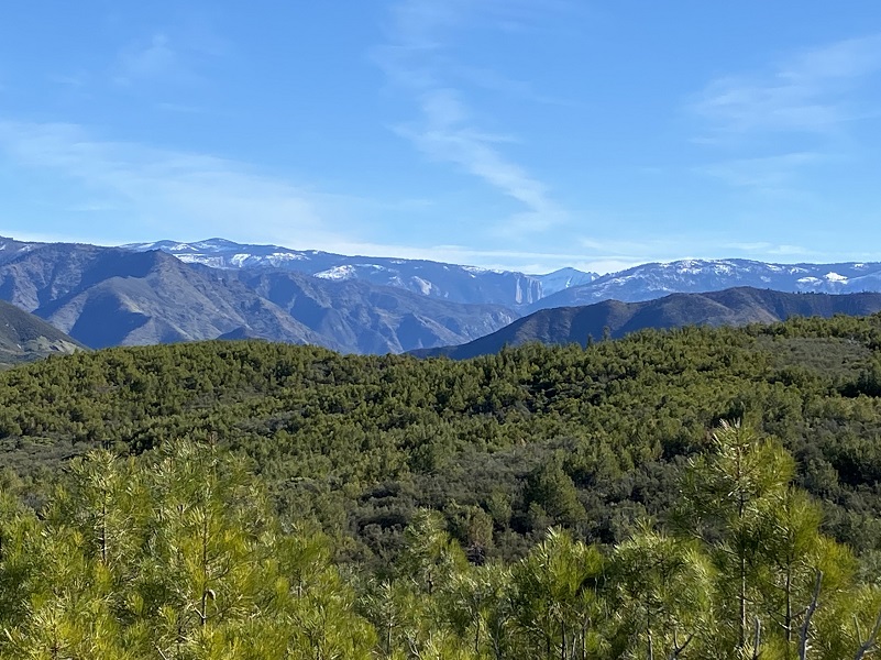
The dirt road ran the ridge and I had plenty of views, even able to see the walls of El Capitan with Clouds Rest (9,962′).

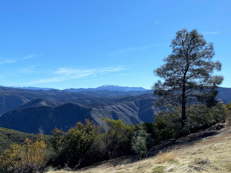
And looking a little more toward the south, Chowchilla Mountain (6,906′) and Devil Peak (6,936′).
I reached the end of the road, literally. The dozer work had obliterated the old road that led down the ridge. I walked out a ways, doing a little bit of bushwhacking to see if I could pick up the remains of the old road but couldn’t find it. If I hadn’t been by myself, I might have been a bit daring. The early afternoon’s temperature had warmed up a bit and I imagined that a rattlesnake could be out sunning itself, so I didn’t take the chance.
I turned around and headed back down the same way I came in. Early afternoon had early wildflowers opening up and I also spotted some small butterflies.
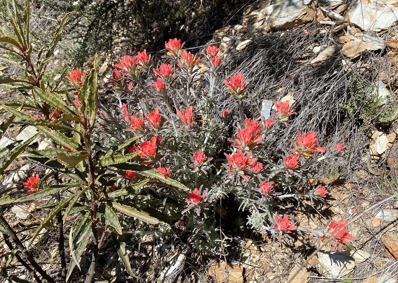
It was a thrill to spot my first poppy of the year! I spotted a handful blooming but there will be many more to come.

This hike is always a good workout but I prefer to do it on a cooler day. Early morning can reveal tracks and scat from coyote, bear, mountain lion and other critters along the way. The road is rutted and can have slides and rocks on it. To me, it is a high clearance 4WD road and that is what they recommend. I cannot share good intel on driving or biking this road and if this something you are interested in, there are blogs and websites that include detailed information related to this. I bet that once the Visitor Center is open, they can also help on that.
Dog Hike?
I did not bring Sally on this hike but she has hiked along the Merced River before the rattlesnakes had woken up. There isn’t much water along this road and you would need to pack dog water. Dog rules in this area include the following:
- Dogs must be on leash at all times.
- No dogs allowed at McCabe Flat swimming beach.
Doarama:
What is a Doarama? It is a video playback of the GPS track overlaid on a 3 dimensional interactive map. If you “grab” the map, you can tilt it or spin it and look at it from different viewing angles. With the rabbit and turtle buttons, you can also speed it up, slow it down or pause it.
Briceburg up the Burma Road Hike Doarama
Maps and Profile:
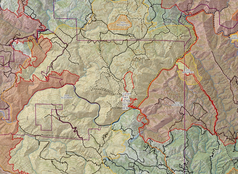
My batter died on the way down so I cropped the GPS track to just show the way in. Sorry about that. CALTOPO has some free options for mapping and here is a link to my hike this week: CALTOPO: Hiking From Briceburg Up the Burma Grade and Beyond
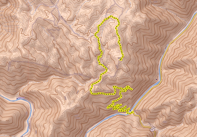
Briceburg up the Burma Grade and Beyond Topographic Map
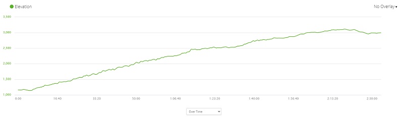
Briceburg up the Burma Grade and Beyond Profile (1 Way, First Half of the Hike)
Sources:
Mariposa Gazette California Digital Newspaper Collection
Mariposa Genealogy & Historical Research Home Page
Mariposa Museum & History Center Gallery
Merced River Recreation Management Area
Prior Blogs in This Area:
Hiking up Briceburg’s Burma Road January 30, 2020
Hiking up the Burma Road with Wildflowery Views April 15, 2019
Discovering Wildflowers Along the Merced River Trail Near Briceburg April 3, 2019
Discovering Wildflowers Along The Moss Creek Trail April 3, 2019
Hiking Along the Merced Wild and Scenic River with Mom February 21, 2016


Candice,
Thanks for the many hikes that you have taken me on. At 89, it has been many years since I was able to go on my own hikes. Your descriptions and pictures are excellent.
Chuck Banks
Oakhurst
Wow Chuck! Thank you so much!