With the Hite Cove area trails closed, where could we go to check out the Merced River Canyon poppies and other colorful wildflowers? We found a nice trail with lots of yellow poppies and color combinations of all kinds represented by other wildflowers. We also discovered that the wildflowers are running a little later than they were in previous years and are just getting revved up in this area.
Where: Yosemite National Park and United States Forest Service if you go farther up the trail (map at end of blog)
Distance: 2.82 Miles
Difficulty: Easy to Moderate
Elevation Range: 1,130′ – 2,657′
Date: April 3, 2019
Maps: Buckingham Mountain Topographic Quad
Dog Hike? No
It is poppy season in the Merced River Canyon and the Hite Cove Trail and adjacent areas were under closure due to damage from the 2018 Ferguson Fire. In case you are thinking of breaking the law and going there anyway, they are very serious about enforcing the closure with individual fines up to $5,000 and organization fines up to $10,000 or imprisonment up to 6 months or both. According to the official forest order, it will be closed until December of 2020.
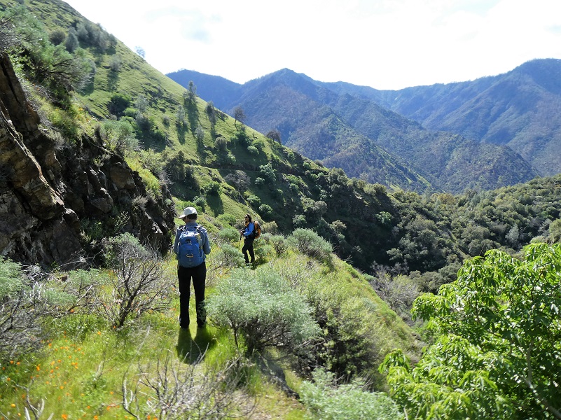
My hiking buddy came up with a great idea nearby where we could check out poppies and other wildflowers and it was a trail that was new to me. I have heard this trail referred to as the Moss Creek Trail, but I found out that it is not an official trail. It is an old road that was used for access to a mine and gets “traily” as you head farther up it. It is not maintained and it has its share of hazards including slides and undermining.
We headed up Hwy 140 toward Yosemite, turning left on Foresta Road and crossing the Merced River. We drove upriver on the Spur Road to Rancheria Flat Road, following it to the end of the road. They were doing some construction work at the end of the road and there wasn’t any parking, so we backtracked a bit and found an area to park off the road and not blocking anything. There really is limited parking along the street and since you are looking to get some exercise in, parking below the El Portal school area just above the school or below the school near the pool in the dirt lot are good suggestions. Don’t drive up the road to the water tank, which is signed “Unauthorized Vehicles Only” and don’t park at the top of Rancheria Flat Road/Rancheria Court. You will bock residence, utility vehicles, and emergency traffic. There are no trailhead signs on this hike. I made sure to carry plenty of drinking water and kept an eye out for rattlesnakes. Oh, and the sign said that this was mountain lion country also. We didn’t see any snakes or mountain lions but they are here and I know that some watched us.
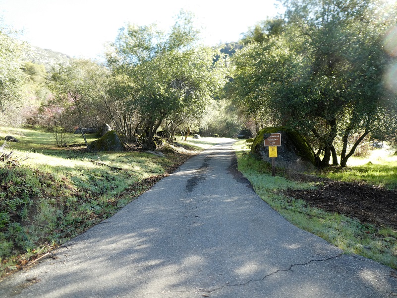

We walked up the paved narrow road that led to the concrete water tank.
The road turned to dirt after the water tank and we kept on following it.
The road kept climbing, so we did too.
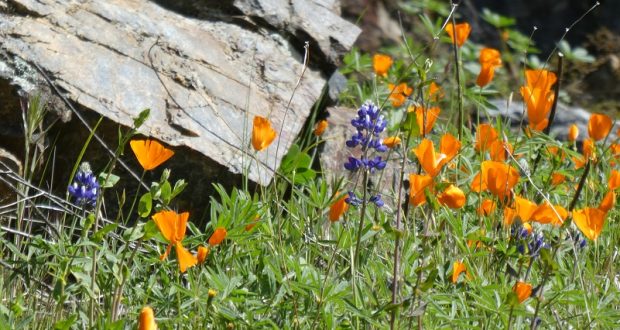
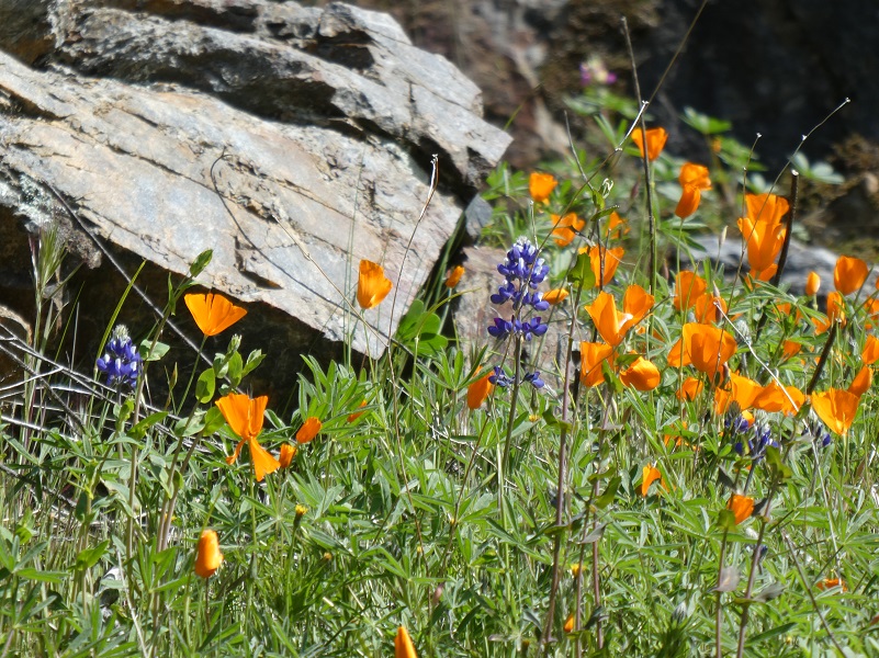
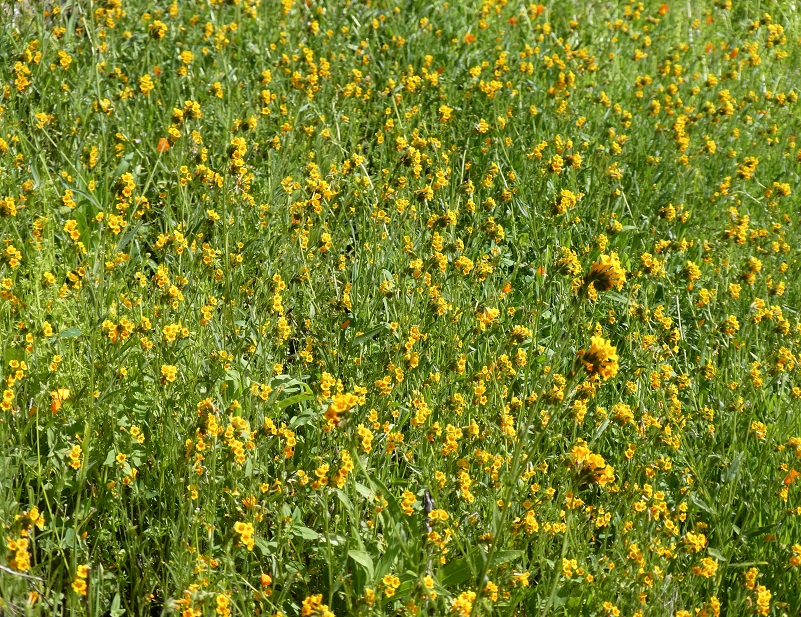
We started seeing many poppies but since it was early in the morning, they were still closed up for business.
But some flowers such as this blue dick already had customers.
As we walked up the road, white popcorn and orange fiddleneck were putting on a show for us.
And Owl’s Clover looked very pretty in pink.
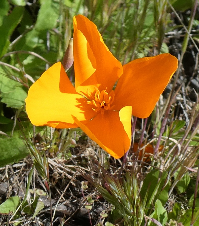
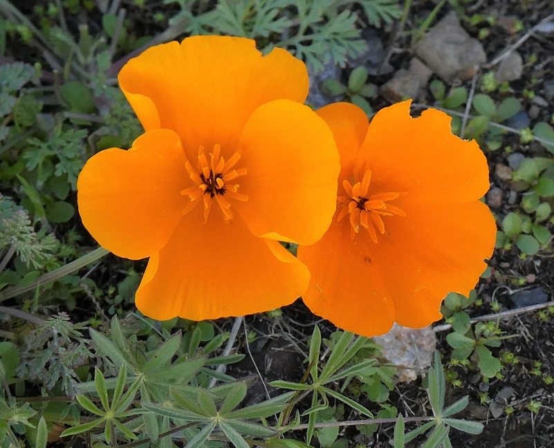
Photo by Gail Gilbert What’s this? The poppies were starting to open up.
We could heard roaring water before we caught our first glimpse of a beautiful waterfall.
Then the trail became narrower and the dropoff above Moss Creek became pretty steep. A small slide was easily conquered. Along this stretch of the trail, we were treated to quite a few wildflowers of different types than were in the open areas.
Birdseye Gilia (Photo by Gail Gilbert) Shooting Stars Monkey Flower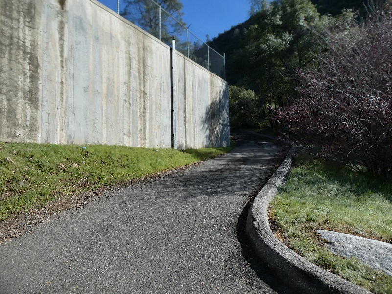


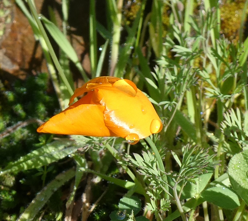
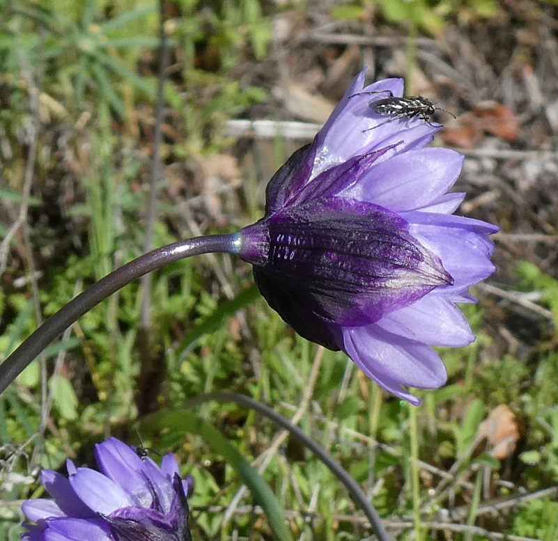

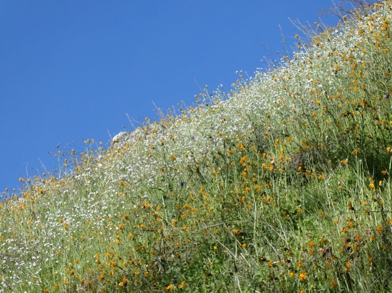

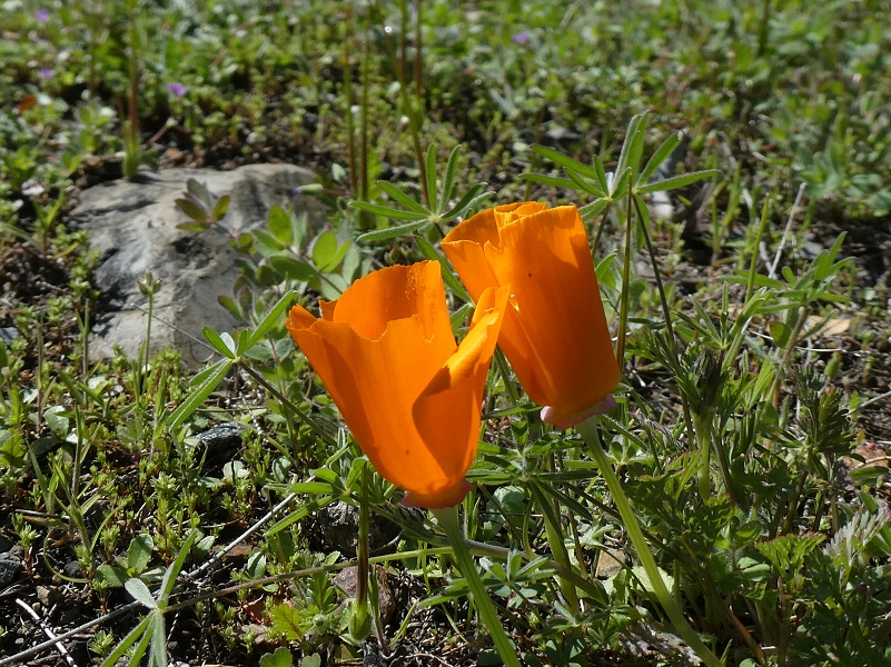
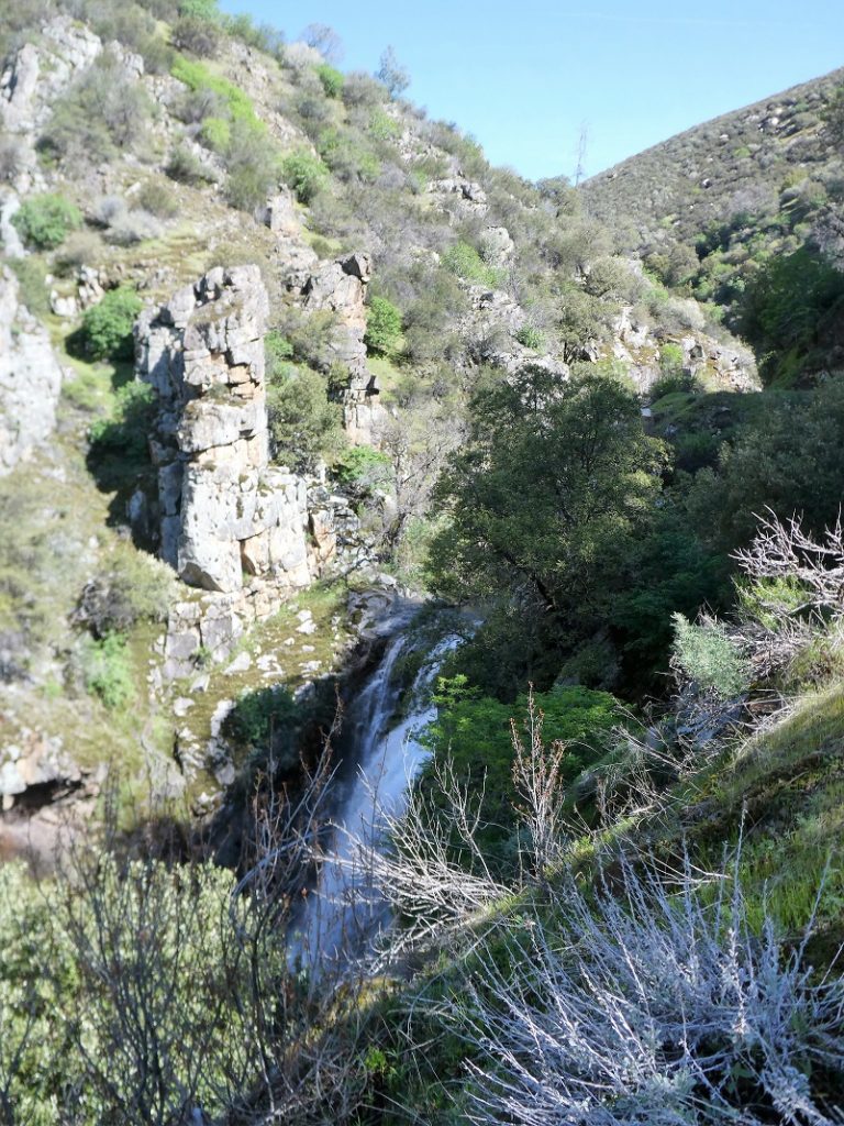
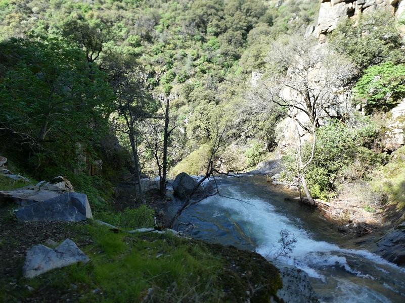
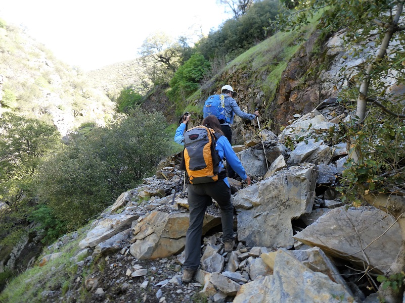
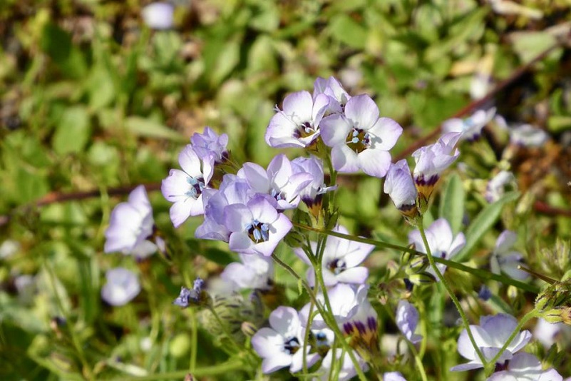
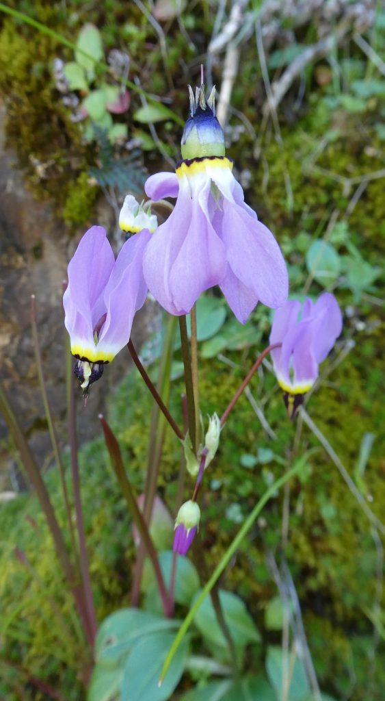
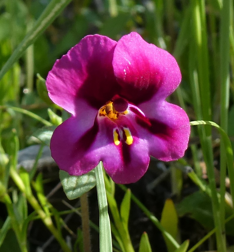
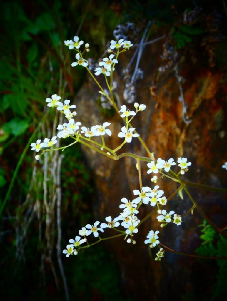
Photo by Debra Sutherland
A pipe had been running along the trail and soon rounded a corner. As the pipe headed out above the fast moving water, it had wooden planks on top of it. Now remember, that waterfall is just a few feet downstream from us. We later learned out that this boardwalk is in such disrepair that they don’t recommend that you walk on it.
Photo by Gail Gilbert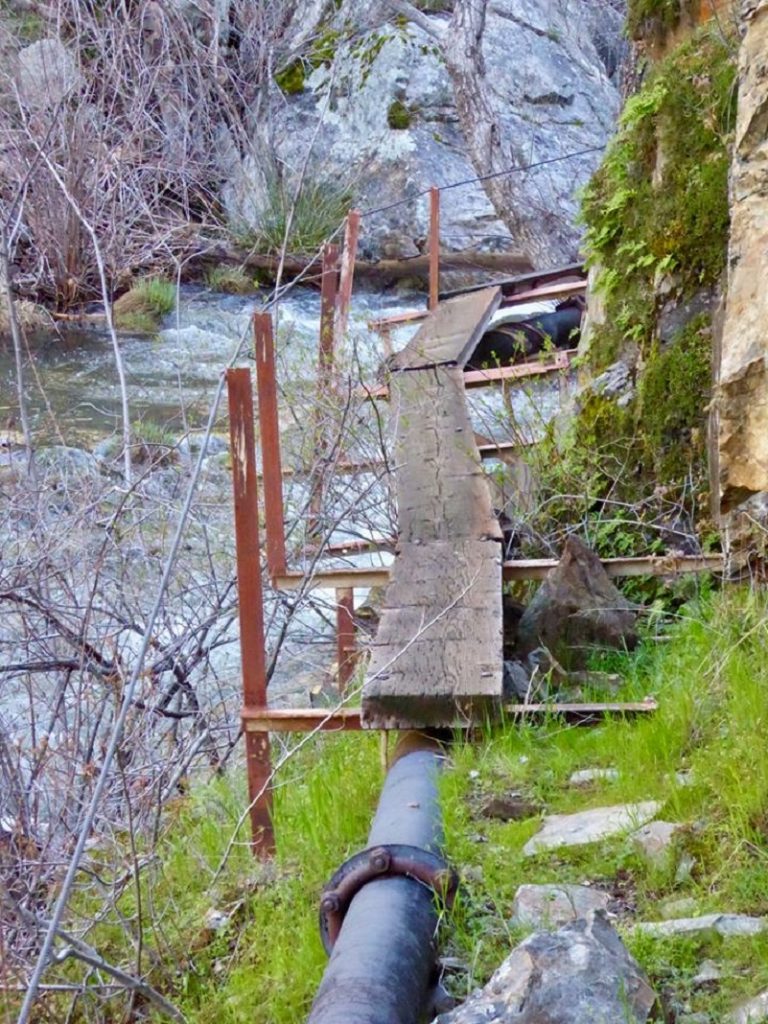
We decided that this was about far enough for us and we turned around at this point, heading back the way we had come up.
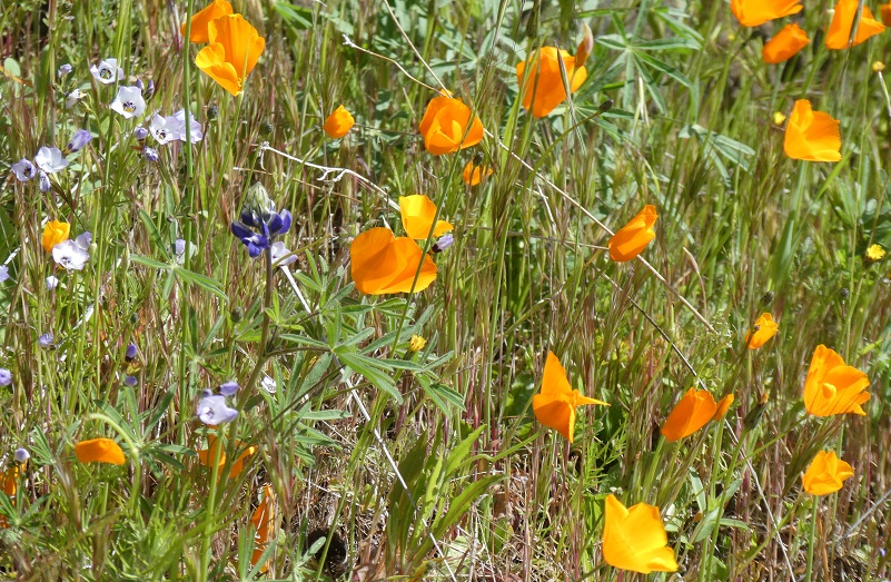
The sun had really woke the flowers up and the poppies were now completely open.
We walked by oceans of yellow fiddleneck.
Those pollinators were very busy. Can you spot them?


Love the poppies!
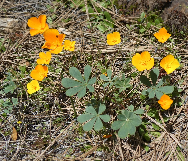
We followed a fork in the trail and discovered a large area of harlequin lupine that were not blooming and decided we will need to return to check these beautiful flowers out later in the season.
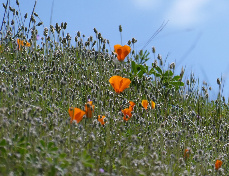
We loved the color combinations. Stretches along the trail were full of poppies and popcorn.

Photo by Gail Gilbert

Photo by Gail Gilbert

Photo by Debra Sutherland
Poppies and lupine.
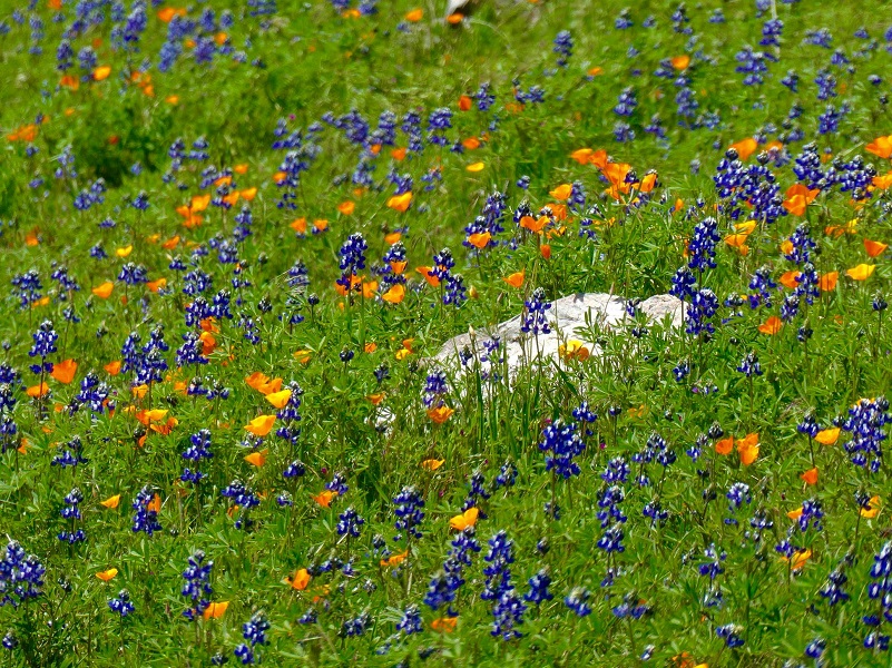
Photo by Debra Sutherland
It was the perfect area for us to stop and enjoy our lunch, along with the view.
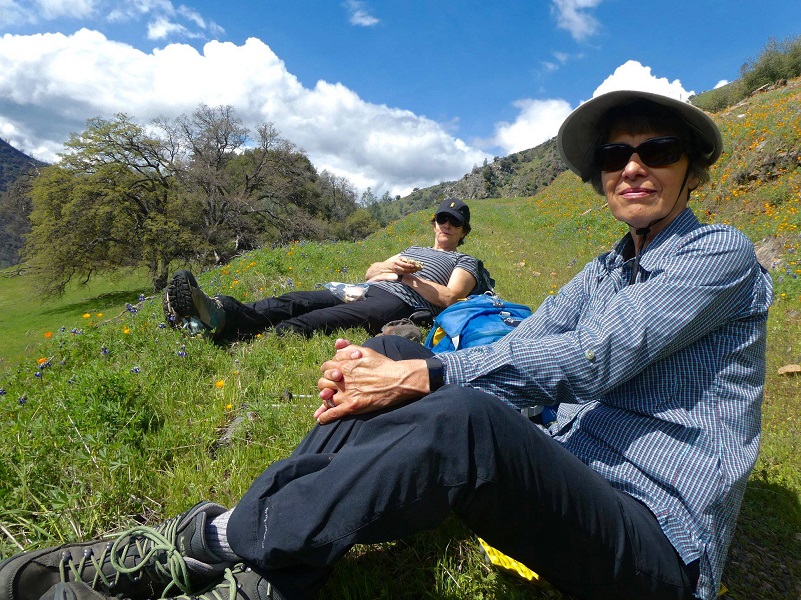
Photo by Debra Sutherland
We headed back down the trail, enjoying the view all of the way down.

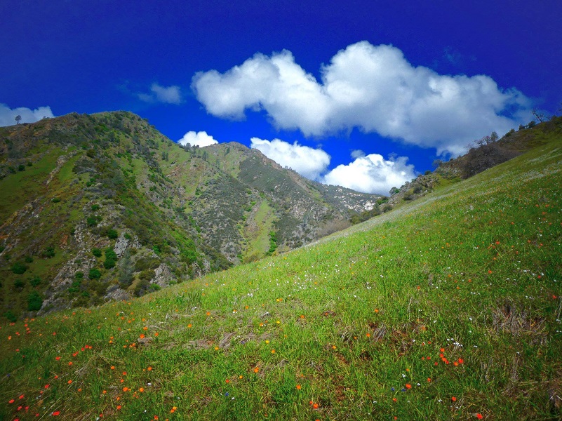
Photo by Debra Sutherland
It gets mighty warm in this canyon and I always bring plenty of water, continuing to hydrate throughout the hike. I didn’t see any rattlesnakes on this hike but they are out there and I am sure they saw me.
To park and start this hike, you will be in a residential area and private property. Please be respectful of the people who live here. There is not a designated parking area for this trail and you would want to make sure you aren’t blocking the road, driveways or homes for these people.
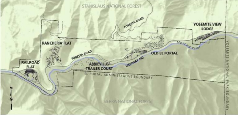
Dog Hike? No The road that this hike led us on starts on Yosemite National Park lands. Please see the map showing this boundary and because of this, it really isn’t practical to hike this one with a dog and staying out of the Yosemite National Park jurisdiction. The dog rules are very different for each jurisdiction but the most restrictive on Yosemite National Park were dogs are not allowed on the this area.
Maps and Profile:
The Doarama this week had a little trouble in the canyon portion of Moss Creek and is not accurate but I still included it because it gives another way of viewing the topography and surrounding areas.
Moss Creek Hike Topographic Map Moss Creek Hike Profile El Portal Administrative Boundary Map (Yosemite National Park) Sources:
Prior Blogs in This Area:
Hiking from Savage’s Trading Post up the Hite Cove Trail April 5, 2018
Hiking from Indian Flat through Hite Cove April 21, 2017
Hiking From Indian Flat to the Old Hite Mine January 15, 2016
Hite Cove Wildflower Hike March 22, 2015
Hiking on the Savage Lundy Trail March 7, 2015
Hiking With The Sierra Newt To View Wildflowers At Hite Cove March 22, 2014