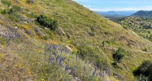
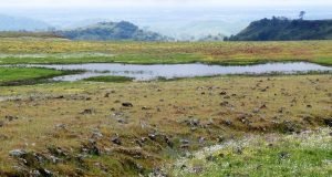
Kaleidoscopic splashes of yellow here, mounds of orange there and then a little later, oceans of purple, sometimes with some red to liven up the wildflower colors as I hiked up new trails with the Sierra Foothill Conservancy. At the top of the Ruth McKenzie Table Mountain Preserve vernal pools were especially beautiful, ringed with white meadowfoam. Where: Sierra Foothill ...
Read More »Articles about Big Creek Hydroelectric
Hiking to Stevenson Creek Falls and Beyond
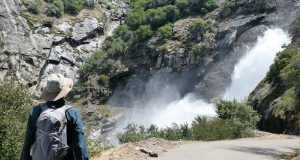
The Million Dollar Road led us to Stevenson Creek Falls, its water dropping 1,200′ as it leaped over the rocks down to the San Joaquin River. A few wildflowers along the way put smiles on our faces. Where: Sierra National Forest, Southern California EdisonDistance: 12.44 Miles (About 7 miles roundtrip to Stevenson Creek Falls)Difficulty: ModerateElevation Range: 1,186′ to 2,387′Elevation Gain: ...
Read More »Hiking to Roaring Stevenson Creek Falls
Stevenson Creek Falls had really been coming down the week before but would it still be roaring when I was able to see it a week later? You betcha! Where: Sierra National Forest Distance: 7.25 Miles Difficulty: Moderate Elevation Range: 1,182′ to 1,914′ Date: May 29, 2019 Maps: Auberry Topographic Quad, Sierra National Forest Dog Hike? Maybe We headed out ...
Read More »Hiking In The Rain To Table Mountain At The McKenzie Preserve
A little rain didn’t damper our enthusiasm as we learned about archeological sites, spotted Sierra Newts, said hello to cows, saw wildflowers galore and experienced an incredible view from on top of Table Mountain while hiking on a docent-led adventure on the Ruth McKenzie Preserve. We didn’t encounter any rattlesnakes, which was just fine with me, but they are out ...
Read More »Hiking Above Redinger Lake
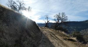
A good post-holiday workout hike took us up a dirt road on the north side of Redinger Lake. Checking out the wildlife tracks along the way kept our minds occupied while we gained about 2,000 feet in 4.5 miles. Where: Sierra National Forest Distance: 9.19 Miles Difficulty: Moderate Elevation Range: 1,424′ to 3,314′ Date: January 4, 2019 Maps: Auberry Topographic ...
Read More »


