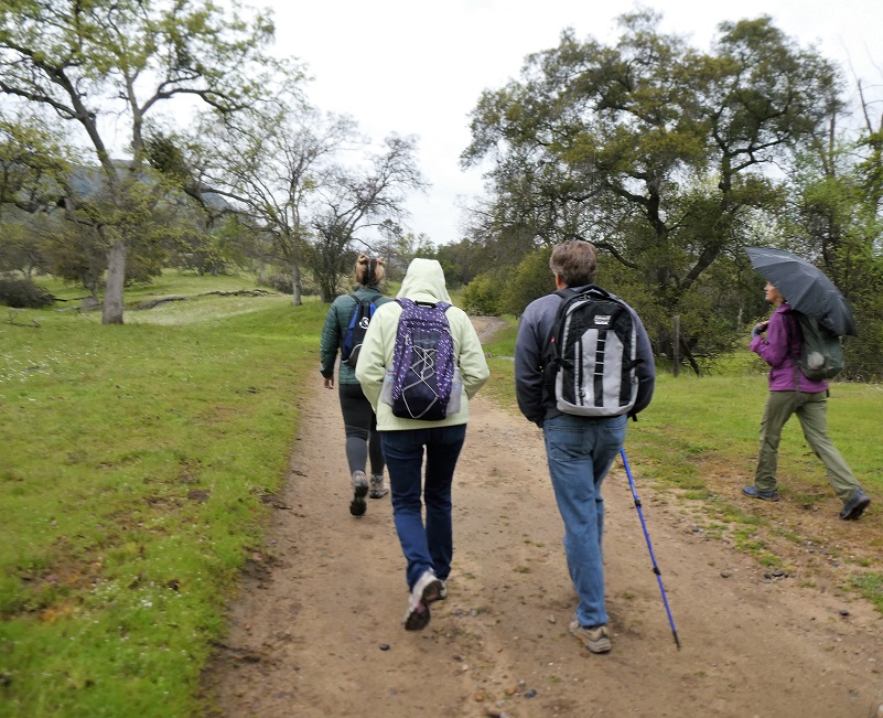
A little rain didn’t damper our enthusiasm as we learned about archeological sites, spotted Sierra Newts, said hello to cows, saw wildflowers galore and experienced an incredible view from on top of Table Mountain while hiking on a docent-led adventure on the Ruth McKenzie Preserve. We didn’t encounter any rattlesnakes, which was just fine with me, but they are out there.
Where: Sierra Foothill Conservancy, Ruth McKenzie Table Mountain Preserve
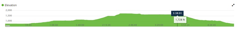
Distance: 6.43 miles
Difficulty: Moderate
Elevation Range: 763′ – 1729′
Date: March 23, 2019
Maps: Academy and Millerton Lake East Topographic Quads
Dog Hike? No, dogs not allowed on Sierra Foothill Conservancy Ruth McKenzie Table Mountain Preserve
Our group met up with the docents at the entrance to the Ruth McKenzie Table Mountain Preserve. From the junction of Millerton and Auberry Road, I headed up Auberry Road about three miles, driving in the gated entrance on the left to the Sierra Foothill Conservancy property. These preserves are only available to be accessed through their scheduled hikes, classes and open preserve days. They are very special places with sensitive environments, some set aside for specific endangered species, while some are donated by landowners who want to see the land cared for and protected forever. A link to their website with their event calendar is at the end of this blog.
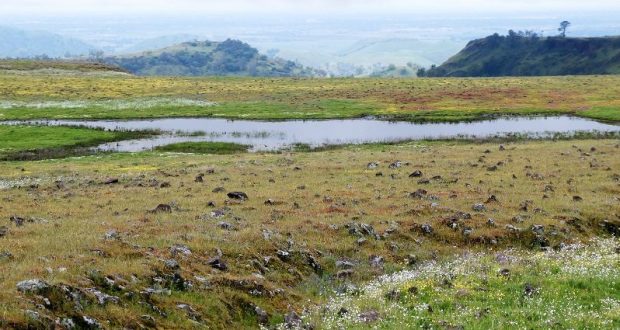
The Sierra Foothill Conservancy is the proud owner of eight nature preserves, totaling 6,481 acres. My hike today was on the 2,960 acre Ruth McKenzie Table Mountain Preserve, which was acquired in trust from The Nature Conservancy in 1998. The property had previously been placed in a trust by its owner, Ruth Bea McKenzie, who wanted it to remain in ranching and open space after her death. The McKenzie Preserve is primarily grassland and oak woodland that slopes upward toward the basalt lava table lands that give the preserve its name.
 Sierra Foothill Conservancy hikes are led by a very dedicated group of volunteers who are passionate about sharing the wonder of nature with visiting hikers. As these docents lead groups on the various properties, they share aspects of cultural history, habitat features, and facts associated with the specific property visited. Each of these dedicated hiking docents have varying backgrounds, lending expertise in a variety of areas.
We started walking up the dirt road in the rain sporting all kinds of protection from the rain.
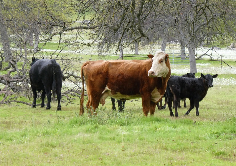
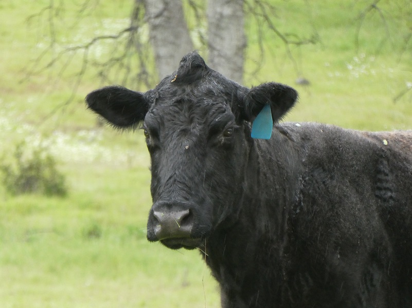
A greeting party of cows and their calves soon welcomed us. Those cows were enjoying the rain and the grass.
From the road, we spotted a pretty little waterfall and we wandered over to check it out. I couldn’t get past the beautiful flowers though, decorated with raindrops.

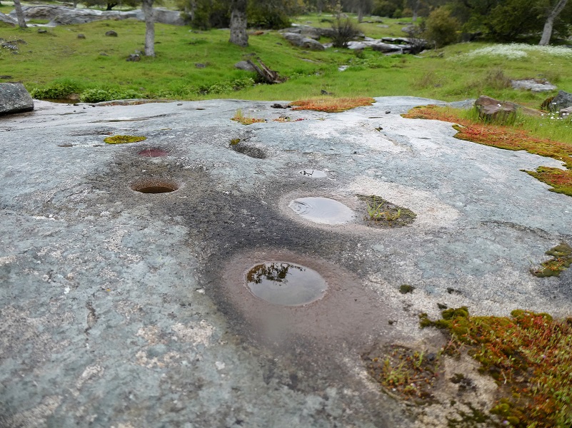
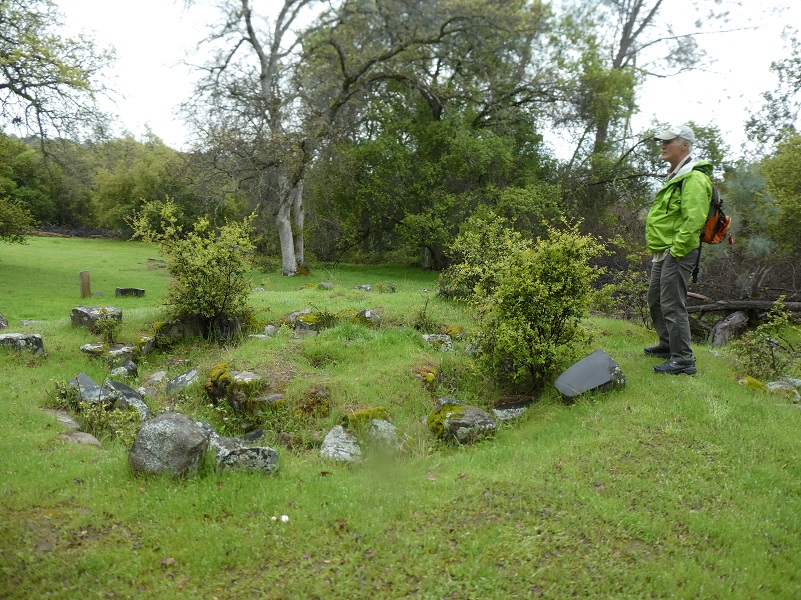
We walked through an area that was the site of a Native American village. An archeologist with our group pointed out depressions where their houses used to be and grinding holes.
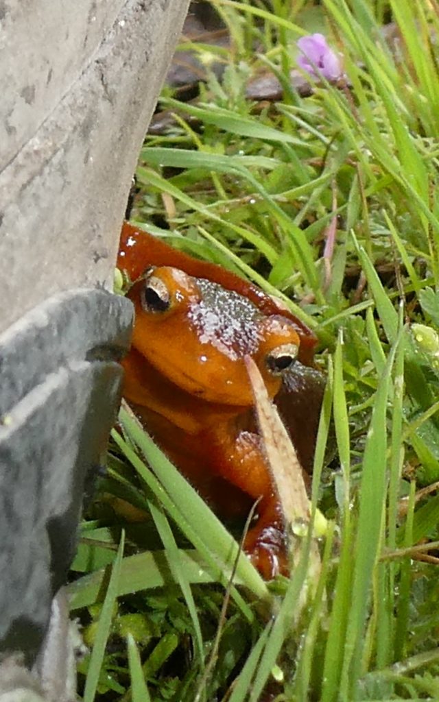
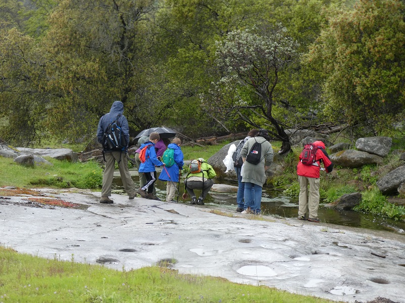 We wandered down toward the seasonal creek to see if we could see some Sierra Newts.
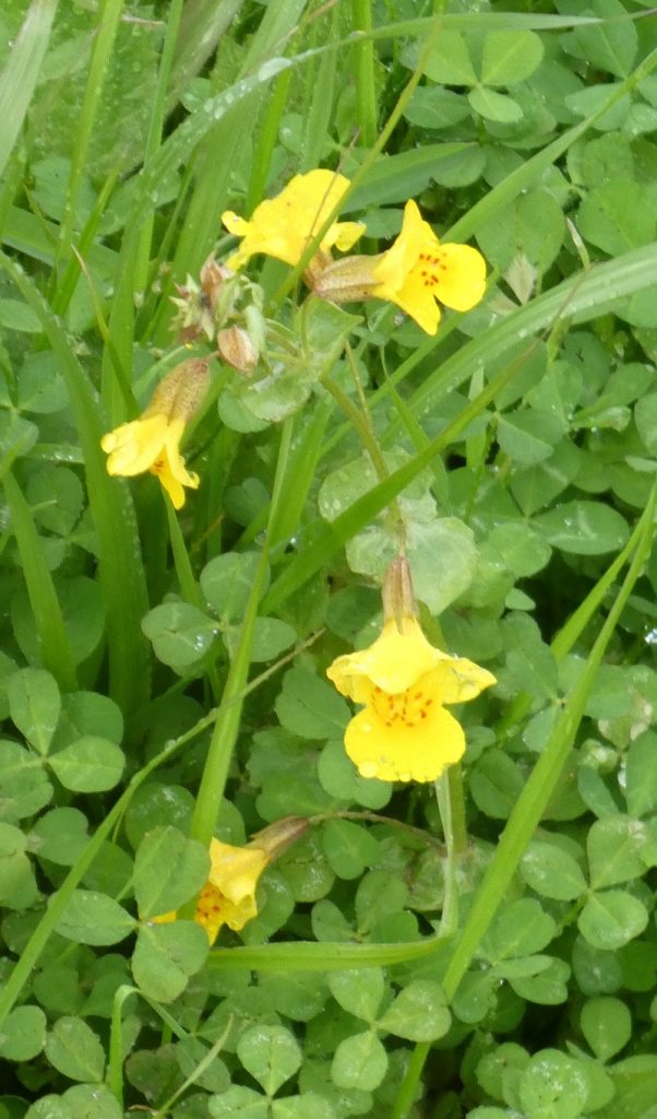
The little creek was edged in monkey flower; very pretty.
And we did find newts! Did you know that they can live up to 30 years?
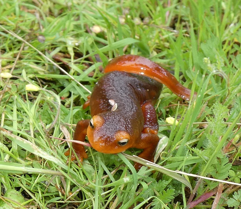
This little guy crawled next to one of our boots while we were standing there and didn’t move for the longest time.
We continued up toward Boling Gap, stopping at the site of an old arastra. These were used to help break up and grind the rocks that contained gold ore. Drag stones were placed in a circular pit paved with flat stones, and connected to a center post by a long arm. A horse, mule or even a person provided the power at the other end of the arm as the stones were dragged slowly around in a circle, crushing the ore.
We headed up to the old railroad bed of the San Joaquin & Eastern Railroad, a standard gauge railroad originally built to get men and supplies to the Big Creek Hydroelectric Project sites.

The track was constructed for $1,055,728 by Stone & Webster Construction Company of Boston, the project’s primary contractor. Grading commenced on February 16, 1912 and construction was completed on December 15, 1912. The 55-mile line started at El Prado near Friant where it interchanged with the Southern Pacific (SP) Railroad. The SP branch continued on to Fresno where it intercepted the SP Mainline. From El Prado the line went east to Auberry and then terminated at Big Creek (Cascade/Cascada).
The railroad was known as the “crookedest railroad in the world,” with 1,073 curves up to 60 degrees. The railroad had 43 wooden trestles and 255 steep grades with the steepest at 5.3 percent.
The railroad was built for the sole reason of building the Big Creek hydroelectric project. When that was essentially complete, the need for the railroad ended. Over the years, it had only earned about 22 percent of what it cost to build and operate, leading to its nickname “Slow, Jerky, and Expensive.” The line was abandoned and dismantled in 1933.
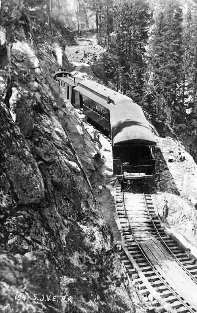
San Joaquin & Eastern Railroad at Huntington Lake circa 1918 (Photo Source Public Domain, https://commons.wikimedia.org/w/index.php?curid=50251128)
We headed up to Boling Gap, named after John Boling who was associated with the Mariposa Battalion and Yosemite. In early records, his name is spelled Bowling but in the marriage, census and death records that I located, his name is spelled Boling.
In March 1851, Major James Savage of the newly commissioned Mariposa Battalion led troops after natives who had raided several area mining camps, including three of Savage’s trading posts. John Bowling was a miner who volunteered for the Battalion and was immediately appointed Captain of Company B.
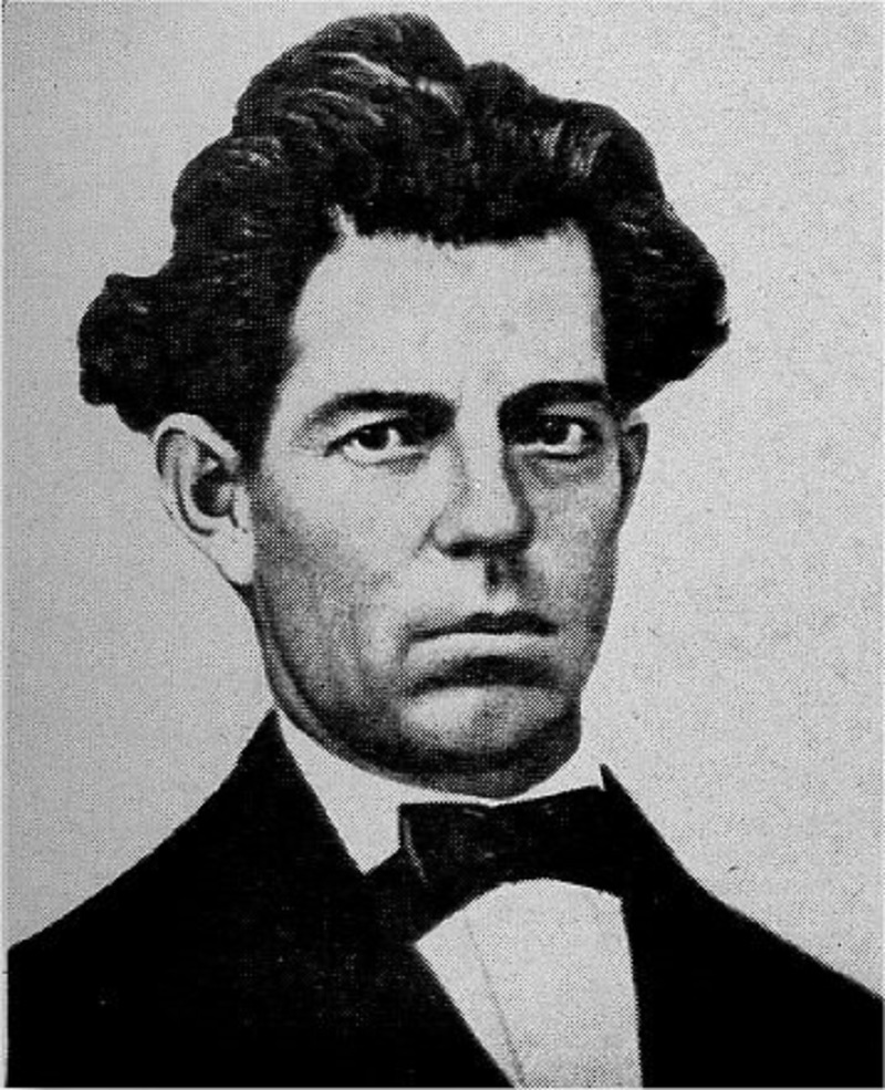
Captain John Boling (Photo from One Hundred Years in Yosemite (1947) by Carl P. Russell)
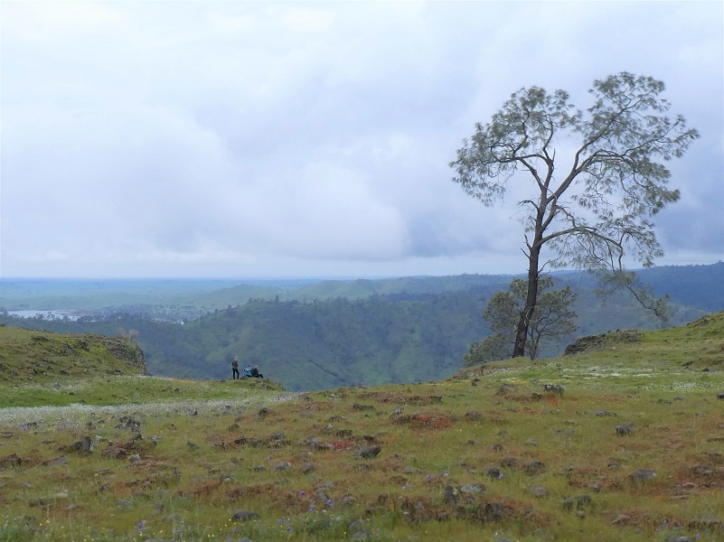
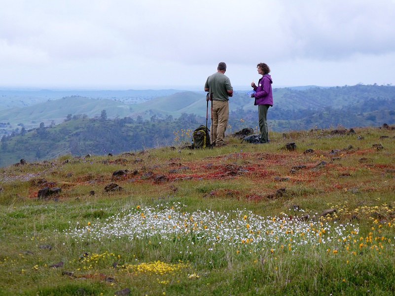
Even though it was cloudy and the rain had mostly stopped, the view was pretty darn nice.
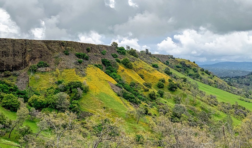
Photo by Cecelia Sheeter
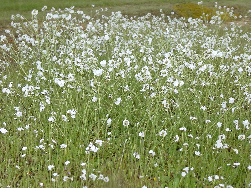
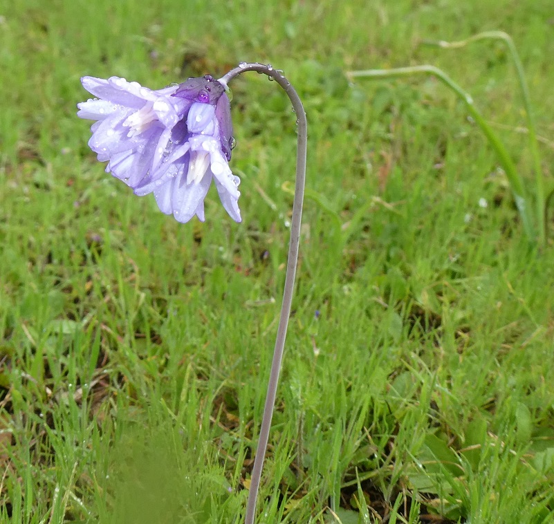
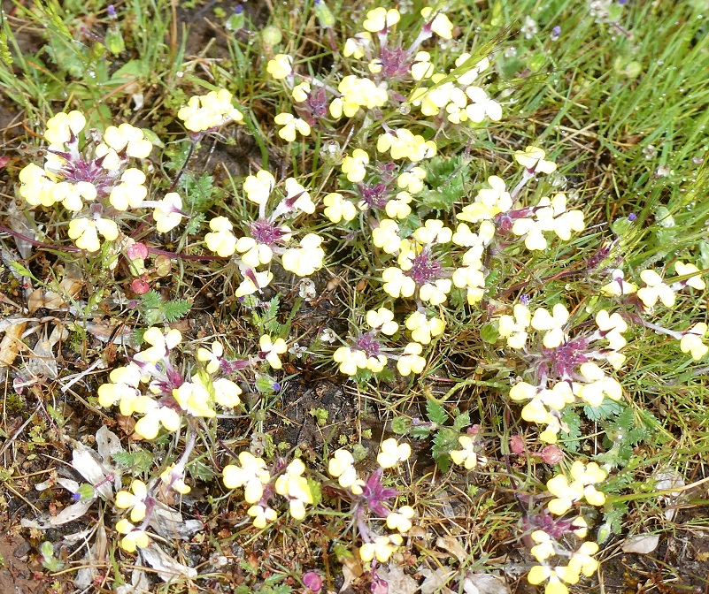
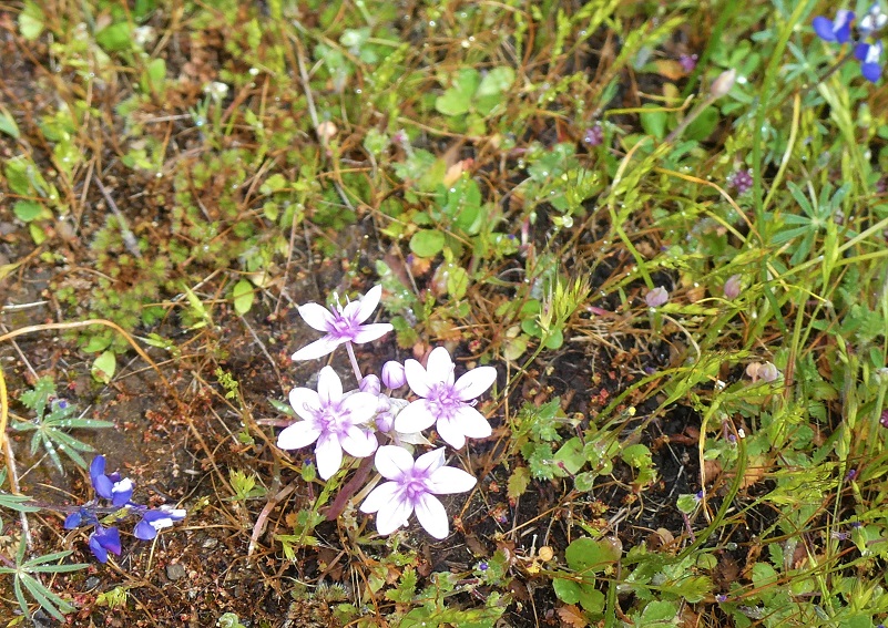
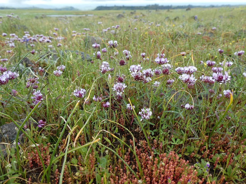
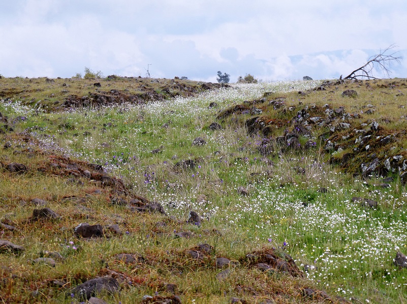
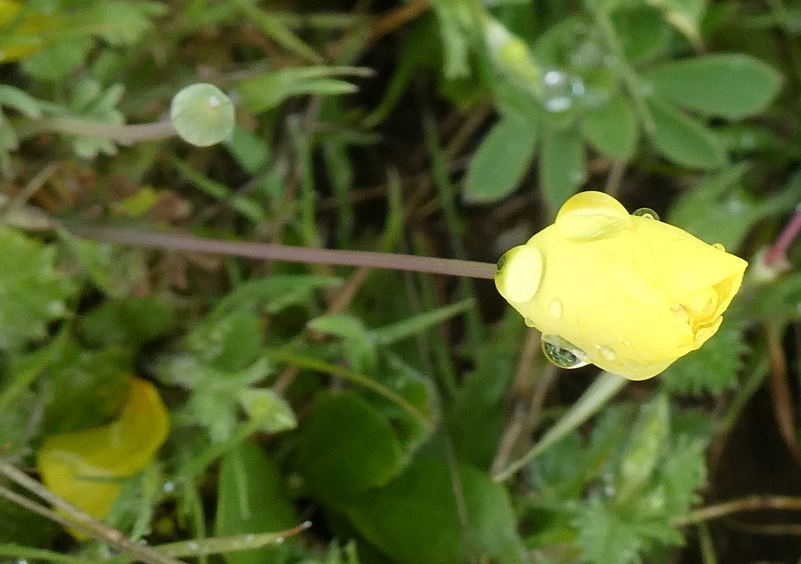
From Boling Gap, we headed uphill to McKenzie Preserve’s Table Mountain and the anticipation was high as to what the flowers would look like when we got there. They were perfect and quite diverse. We all wandered around in our own way, drawn to splashes of color all over.
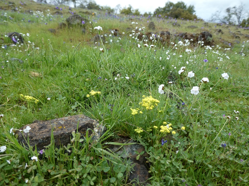


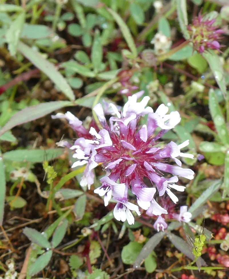
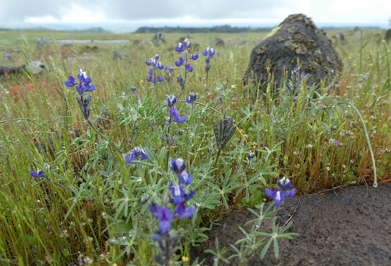


I came across some beautiful blue dicks and often people snicker at this name, wondering why they are called by such a name. Dichelostemma capitatum is a native California plant, though also found elsewhere across western North America. During the mid-19th century, “dicks” did not carry the same meanings as it has in the 20th century. “Blue Dicks” was likely a nickname based on the scientific name, much as the personal name ‘Dick’ was once commonly used for detectives, or those named Richard.
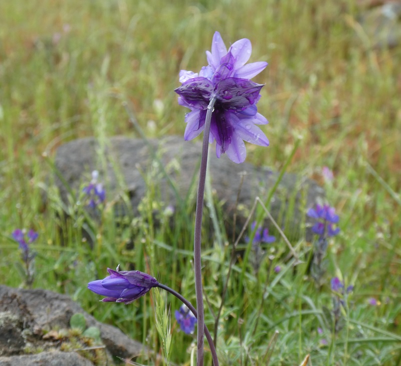
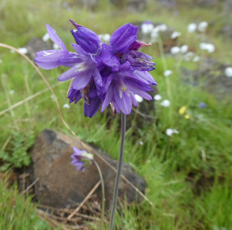
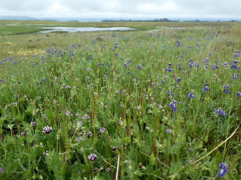
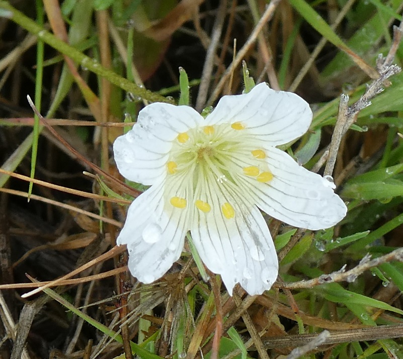

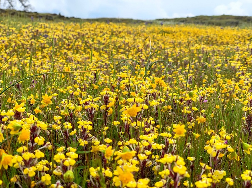
Photo by Cecelia Sheeter
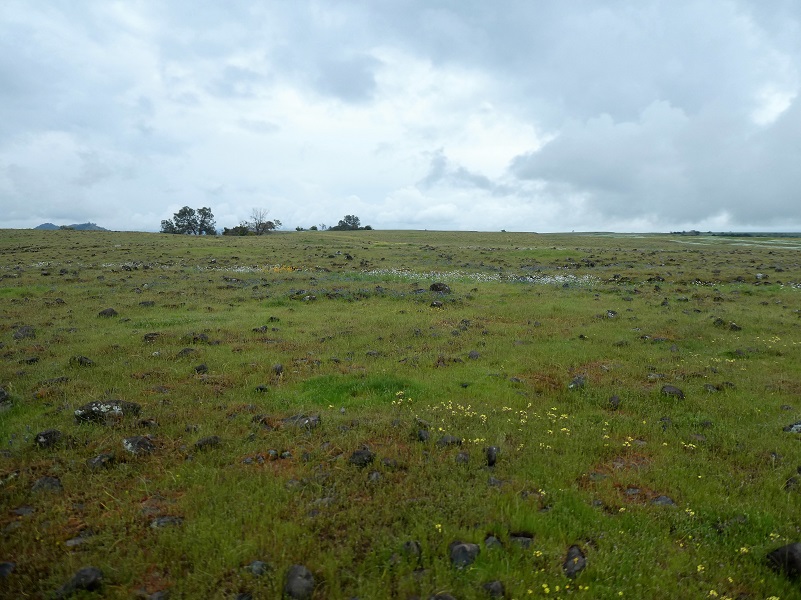
We headed for the edge of the Table Top where we had views of Millerton Lake and the valley. It was a great spot to sit and enjoy our lunch.


We watched a Golden Eagle fly along the rim of the table top then Cecelia pointed out a kestrel to me and we watched it for a while. Kestrels belong to the Falcon genus.

It was time to head back and we worked out way straight down to the old railroad grade then back to our cars, making a looped hike.
Our docents were Cecelia Sheeter, Robert Snow, Ron Bohigian, and Donn Furman. Thank you so much for a great hike, a really fun adventure and loved learning new things about this area.
If you are interested in going on one of these guided hikes on the Sierra Conservancy land, there are many choices on their website linked at the end of this blog. You can sign up online and if you are a member, there is no cost. Don’t worry if you are not a member though because the cost is minimal, $10 for this hike. The funds go to a wonderful cause, protecting our foothill lands. They also have some Open Preserve Days which there is no charge to attend.
These preserves are only available to be accessed through their scheduled hikes, classes and open preserve days. They are very special places with sensitive environments, some set aside for specific endangered species, while some are donated by landowners who want to see the land cared for and protected forever. The hikes and classes are led by a very dedicated group of volunteers who are passionate about sharing the wonder of nature with visiting hikers. As they lead groups on the various properties, they share aspects of cultural history, habitat features, and facts associated with the specific property visited. Each of these dedicated hiking docents have varying backgrounds, lending expertise in a variety of areas.
Dog Hike? No
Sierra Foothill Conservancy Dog Policy: In order to protect endangered species and sensitive habitat, only service dogs are allowed on the preserves, with the exception of the Stockton Creek Preserve in Mariposa where dogs are welcome at any time.
Map:
McKenzie Preserve Table Mountain Doarama

McKenzie Preserve Table Top Topographic Map
McKenzie Preserve Table Top Profile
Sources:
Sierra Foothill Conservancy McKenzie Preserve
Prior Blogs in the Area:
Learning About Range Management on the McKenzie Preserve March 20, 2019
Hiking from McKenzie Preserve to Sky Harbor January 22, 2018


