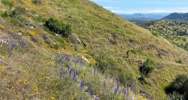
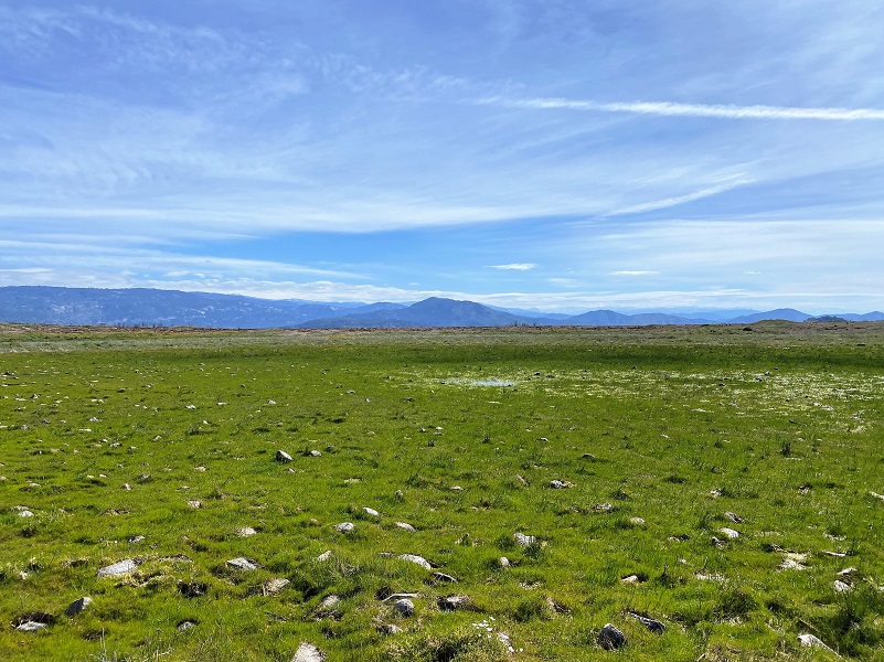
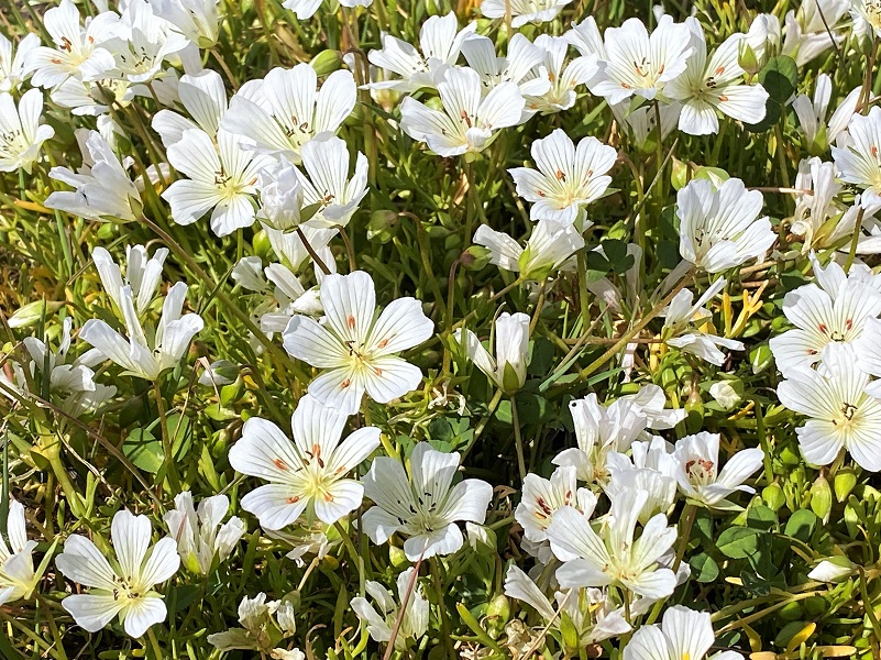
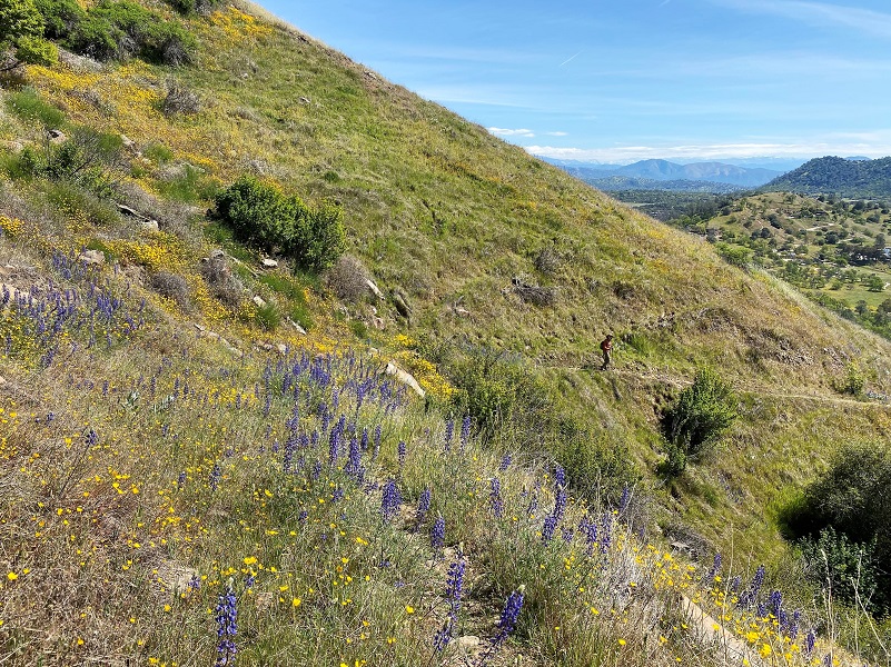
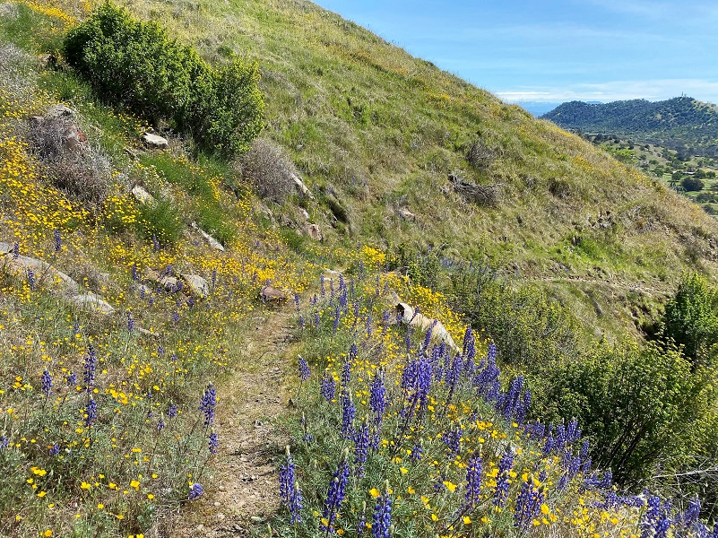
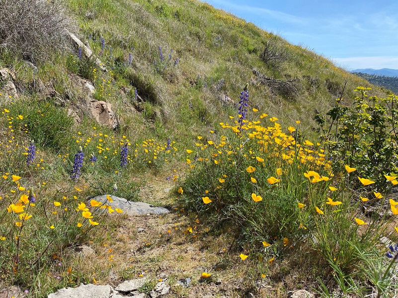
Kaleidoscopic splashes of yellow here, mounds of orange there and then a little later, oceans of purple, sometimes with some red to liven up the wildflower colors as I hiked up new trails with the Sierra Foothill Conservancy. At the top of the Ruth McKenzie Table Mountain Preserve vernal pools were especially beautiful, ringed with white meadowfoam.
Where: Sierra Foothill Conservancy, Ruth McKenzie Table Mountain Preserve
Distance: 7.46 miles
Difficulty: Moderate
Elevation Range: 766 – 1,883′
Elevation Gain: 1,280′
CALTOPO: Hiking At McKenzie Preserve With The Sierra Foothill Conservancy
Date: March 13, 2022
Dog Hike? No, dogs not allowed on Sierra Foothill Conservancy Ruth McKenzie Table Mountain Preserve
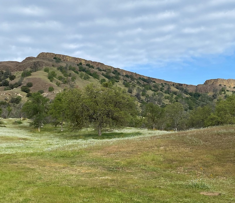
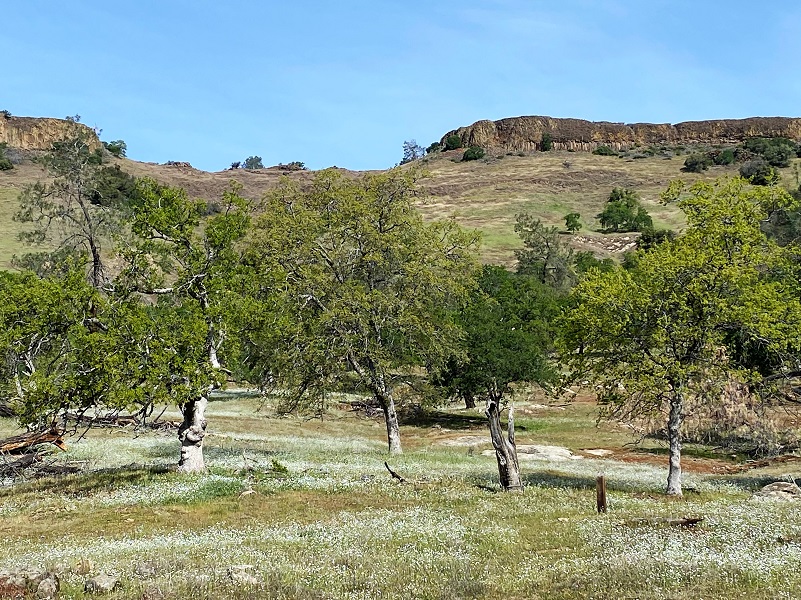
The Sierra Foothill Conservancy (SFC) is the proud owner of nine nature preserves, totaling 50,180 acres preserved. My hike today was on the 2,960 acre Ruth McKenzie Table Mountain Preserve, which was acquired in trust from The Nature Conservancy in 1998. The property had previously been placed in a trust by its owner, Ruth Bea McKenzie, who wanted it to remain in ranching and open space after her death. The McKenzie Preserve is primarily grassland and oak woodland that slopes upward toward the basalt lava table lands that give the preserve its name.
Our group met up with the docents at the entrance to the Ruth McKenzie Table Mountain Preserve. From the junction of Millerton and Auberry Road, I headed up Auberry Road about three miles, driving in the gated entrance on the left to the SFC property. These preserves are only available to be accessed through their scheduled hikes, classes and open preserve days. They are very special places with sensitive environments, some set aside for specific endangered species, while some are donated by landowners who want to see the land cared for and protected forever. A link to their website with their event calendar is at the end of this blog.
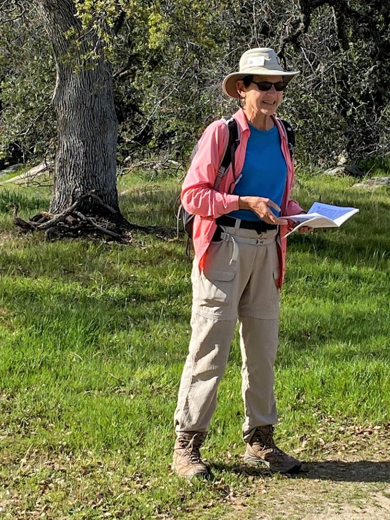
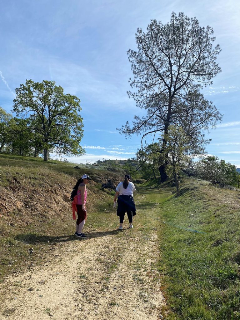
We packed our lunches and water, meeting in the parking lot with our docents for our hike: Victor Caldwell, George and Linda Sward, and Judy Tucker. As I waited for us all to get there and ready, I looked up toward Boling Gap at the beautiful green hillside that led up to the Tabletop in the middle of the McKenzie Preserve. On this hike, we would be heading up a newer trail through Hersheimer Gap to the McKenzie Table toward the north end of the Preserve to check out the vernal pools..
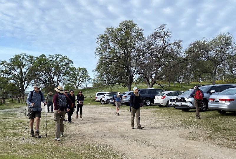
They locked the gate when we all got there and we headed up the road.
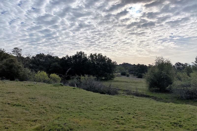
A weak storm system was passing b, providing us with some pretty clouds as we started the hike. I was also appreciative that we had a slightly cooler day for this hike because it can get a bit warm as you climb uphill through those gaps.
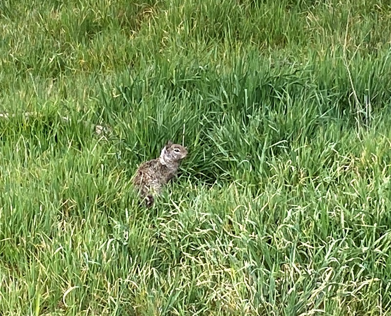
We had some visitors along the road chirping to warn their buddies that we were there and keeping their eyes on us to make sure we moved on. It was still mating season for these California ground squirrels and many were out and about. One of their prey are rattlesnakes but we didn’t see any of those on our hike but they also live here.
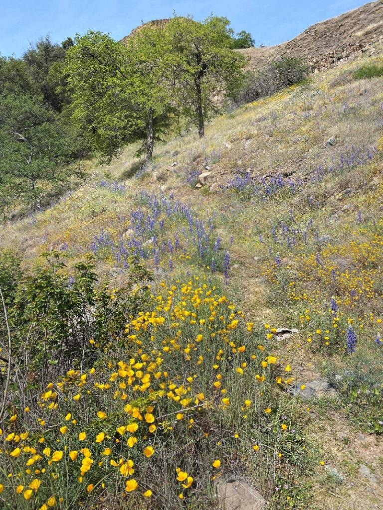
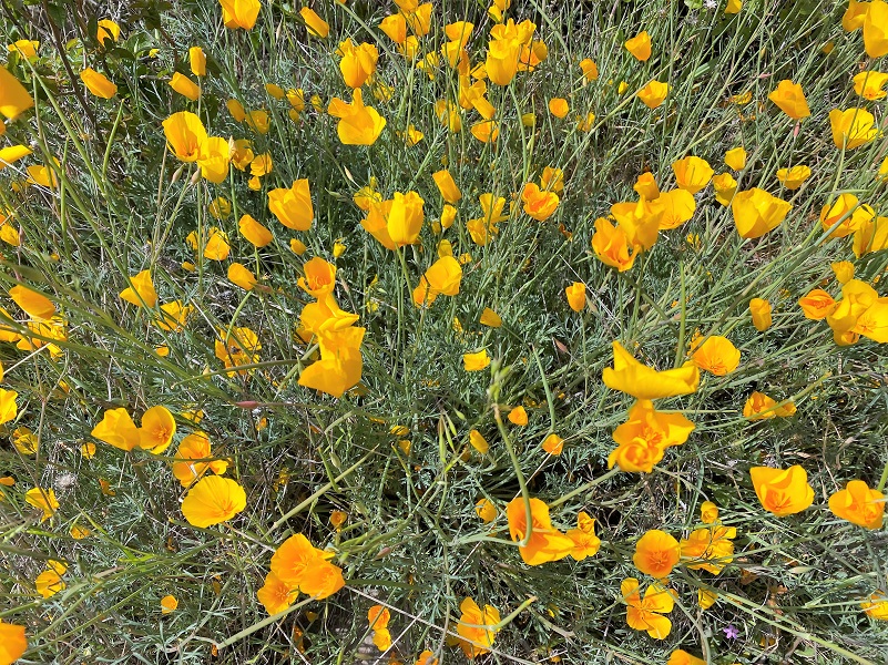
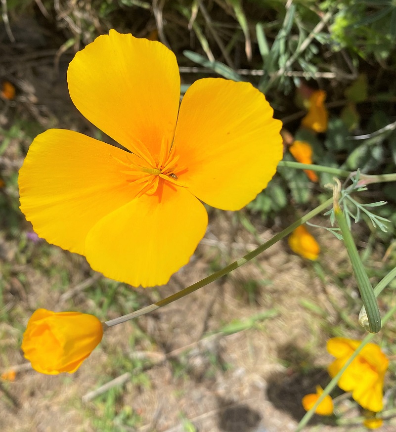
Poppies were out.
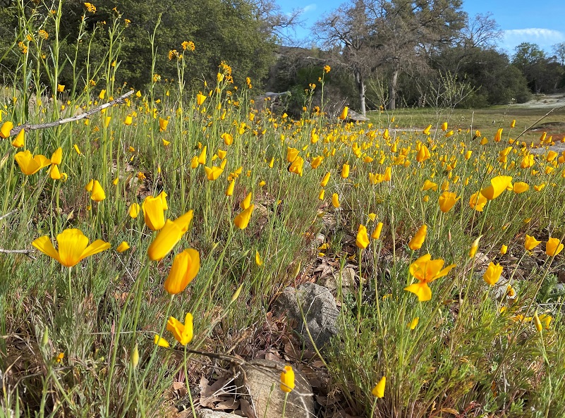
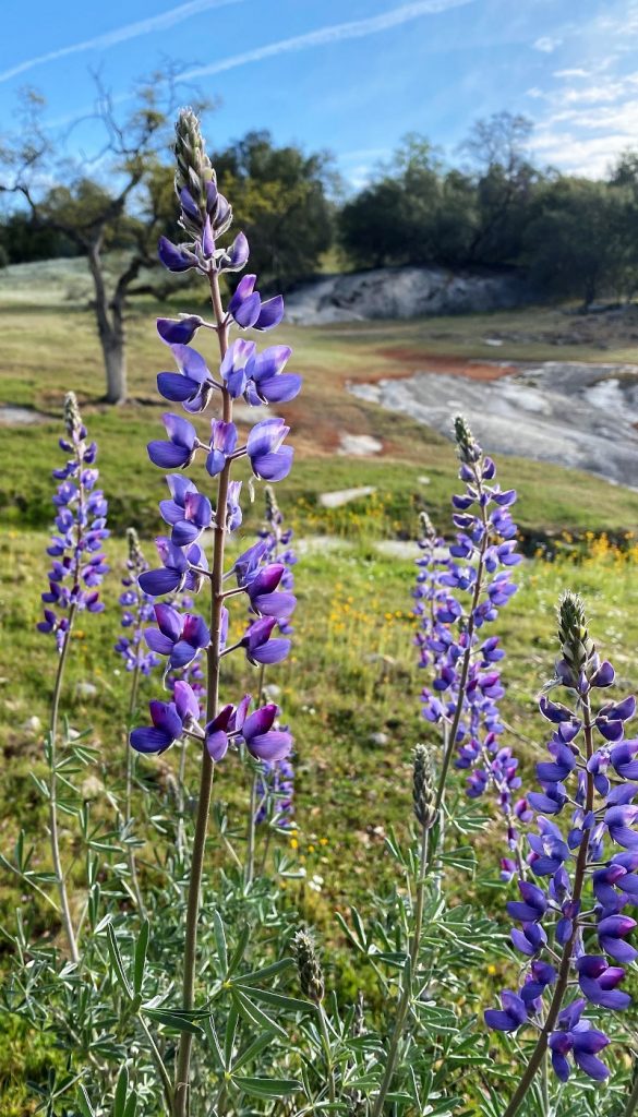
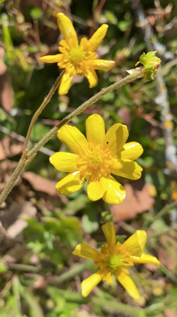
And many other wildflowers were blooming such as lupine, buttercups red maid, clover, fiddleneck, vetch and others.
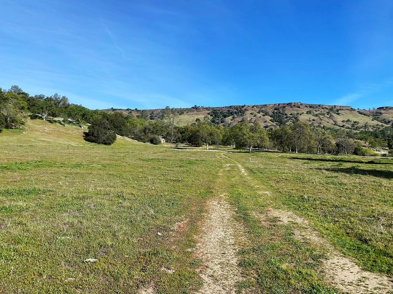
We continued on up the road.
We stopped at the site of an old miner’s cabin, checking out his spring and even some old rose bushes. When I got home to do some research, I saw that this structure showed up on historic topographic maps.
Then we headed cross country for a bit.
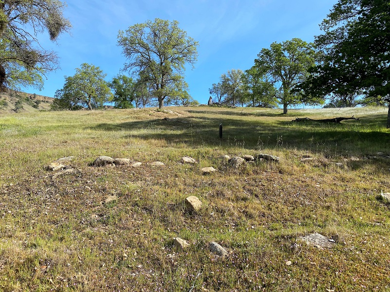
We stopped at a Native American blind that was used for hunting and we learned about the different animal species that were in this area such as Tule Elk.

Our docents led us to a couple of Native American sites, including a village and grinding/pounding holes.

 We then headed up the old railroad bed of the San Joaquin & Eastern Railroad, a standard gauge railroad originally built to get men and supplies to the Big Creek Hydroelectric Project sites.
The track was constructed for $1,055,728 by Stone & Webster Construction Company of Boston, the project’s primary contractor. Grading commenced on February 16, 1912 and construction was completed on December 15, 1912. The 55 mile line started at El Prado near Friant where it interchanged with the Southern Pacific (SP) Railroad. The SP branch continued on to Fresno where it intercepted the SP Mainline. From El Prado the line went east to Auberry and then terminated at Big Creek (Cascade/Cascada). The railroad was known as the “crookedest railroad in the world”, with 1073 curves up to 60 degrees. The railroad had 43 wooden trestles and 255 steep grades with the steepest at 5.3%.
The railroad was built for the sole reason of building the Big Creek hydroelectric project. When that was essentially complete, the need for the railroad ended. Over the years, it had only earned about 22% of what it cost to build and operate, leading to its nickname “Slow, Jerky, and Expensive”. The line was abandoned and dismantled in 1933.
We soon had Hersheimer Gap in our sites. You are probably wondering how it got its name and Billy Freeman shared with me that it was named after the person who held the mining claim here. I tried to do various searches to locate more information but I couldn’t find anything. I tried multiple spellings and still nothing. I searched, census, voter records, land records, mining records, cemeteries, newspapers and still nothing. Since the structure referenced as the Old Miner’s Cabin that we visited shows up on CALTOP Historic maps from 1885-1915, I was focusing on that timeframe and earlier, but couldn’t find a thing. If you have some information that I can start searching more on, please let me know. I would love to solve this mystery.
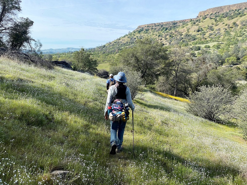
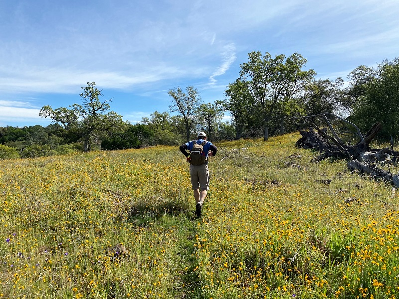
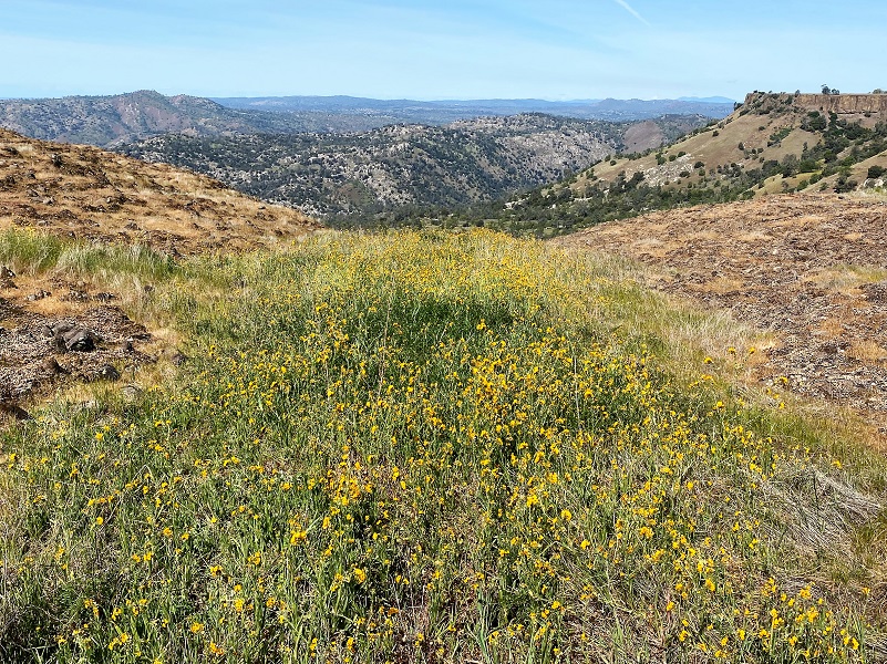
And we started to climb. I loved the views as I looked back.

And there were plenty of wildflowers to check out on that climb.

A small clump of California milkweed caught my attention. Its pink flowers were just starting to bloom. Native milkweeds such as this plant are important food sources for Monarch butterflies.

We continued up the trail, checking out clumps of poppies and lupine.
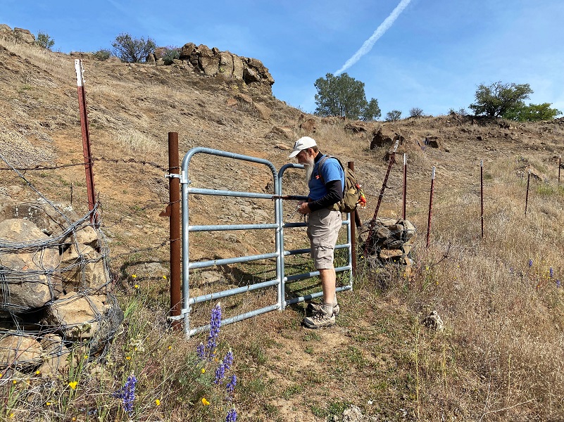
Victor opened the gate for us as we made it to the top.
And I admired the views to the south as I caught my breath.

Then the northern view into Millerton Lake and up the San Joaquin River drainage.
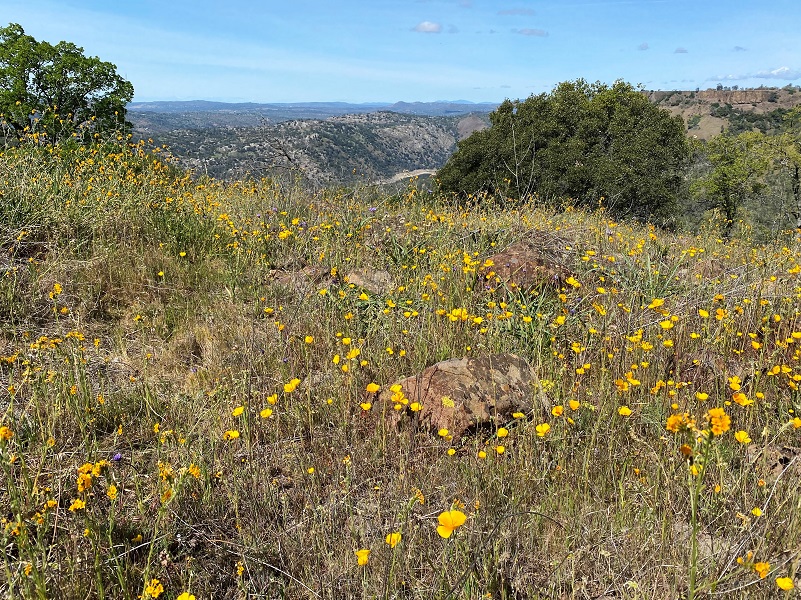
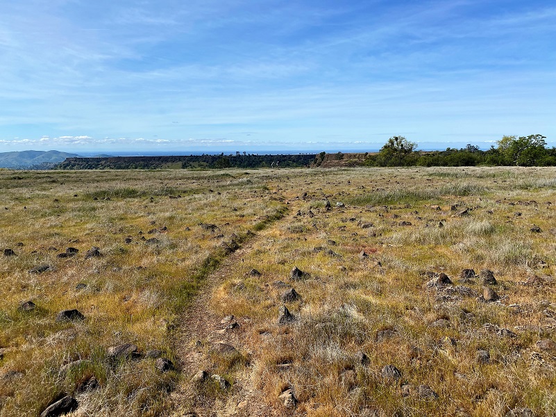
We continued east-ish along the ridge connecting the Tabletops.
And then we were on top of the world!
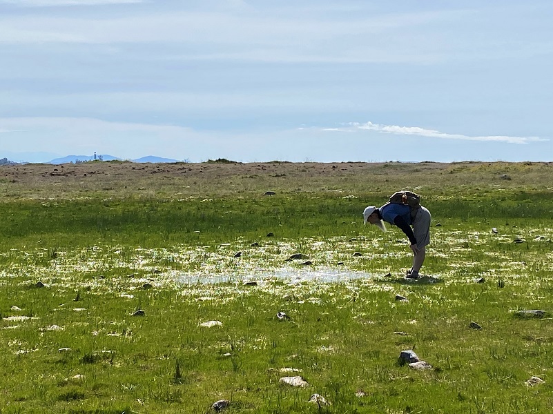
We could see a couple of areas with water still standing and started to work our way over to them but looks were deceiving and the location where I took this picture was actually the edge of the mucky, watery edge.
Some who didn’t mind getting their toes wet ventured closer.
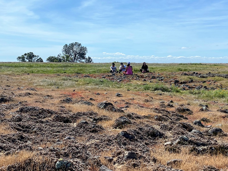
I did a 360 around the vernal pools, then wandered along the rim.

Others wandered the Tabletop, doing their own exploring.

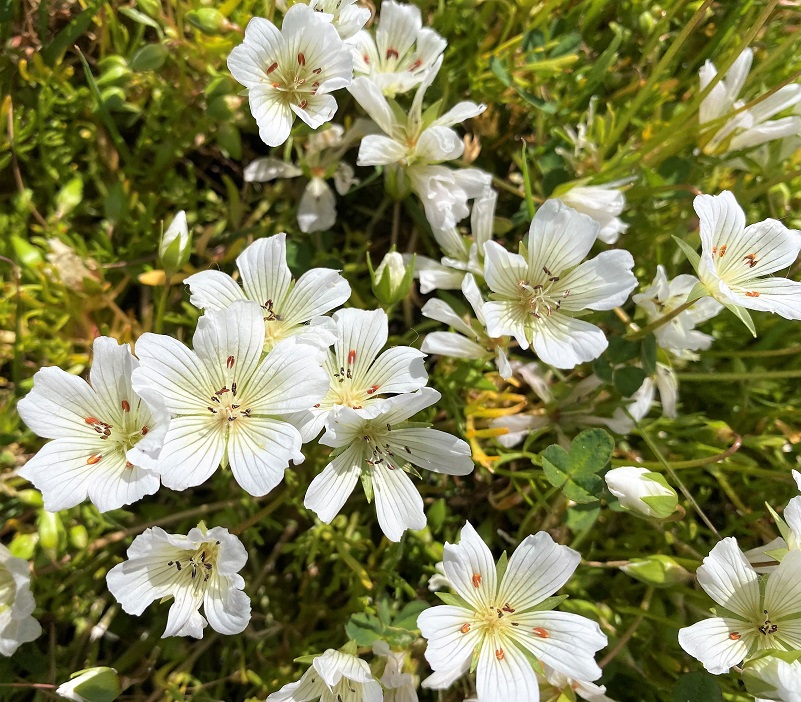
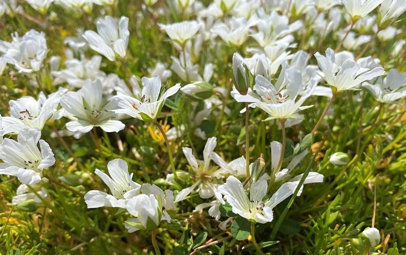
The white meadowfoam was the star of the wildflower show on the tabletop. Did you realize that meadowfoam is also under small-scale cultivation? From Wikipedia:
This plant is the source of meadowfoam seed oil and the fruit of the plant, a nutlet, is 20 to 30% oil. The oil is one of the most stable vegetable oils known and can be converted to waxes and lubricants, similar to whale oil.
But it was a bit of a challenge to get a good picture because the breeze kept blowing them, so I would take advantage to show you a short video clip of their dancing in that breeze.
I found a good lunch spot with a view looking down at Millerton Lake and up the San Joaquin River. Others found their own special spot.
After finishing up my sandwich, I did some more wandering.


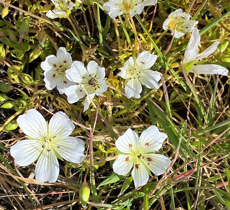
It was soon time to start heading down and the light was a little different, showing us more wildflowers that had opened up.

I sure enjoyed getting up to this Tabletop while the vernal pools still had a bit of water in them. Each year is different with the timing of them drying up and the flowers that take turns coloring up the Tabletop. Each of our docents added such different elements to our hike and I can’t thank them enough for sharing their time and knowledge.
You can locate more options for going on one of these guided hikes on the SFC lands or easements at this link to their Events Listing. You can sign up online and there is a small cost for the hikes. The funds go to a wonderful cause, protecting our foothill lands. They have family rates and also have some Open Preserve Days which there is no charge to attend.
These preserves are only available to be accessed through their scheduled hikes, classes and open preserve days. They are very special places with sensitive environments, some set aside for specific endangered species, while some are donated by landowners who want to see the land cared for and protected forever. The hikes and classes are led by a very dedicated group of volunteers who are passionate about sharing the wonder of nature with visiting hikers. As they lead groups on the various properties, they share aspects of cultural history, habitat features, and facts associated with the specific property visited. Each of these dedicated hiking docents have varying backgrounds, lending expertise in a variety of areas.
They are hopeful that you will consider supporting SFC, and their enormous task of stewarding and preserving our natural legacy landscapes in your community with an annual household MEMBERSHIP. Your support is critical to ensuring this incredible treasure is preserved in perpetuity, saving natural lands, now and forever.
Dog Hike? No
SFC Dog Policy: In order to protect endangered species and sensitive habitat, only service dogs are allowed on the preserves, with the exception of the Stockton Creek Preserve in Mariposa where dogs are welcome at any time.
Doarama:
What is a Doarama? It is a video playback of the GPS track overlaid on a 3 dimensional interactive map. If you “grab” the map, you can tilt it or spin it and look at it from different viewing angles. With the rabbit and turtle buttons, you can also speed it up, slow it down or pause it.
Hiking The McKenzie Preserve Through Hersheimer Gap With The Sierra Foothill Conservancy Doarama
Maps and Profile:
CALTOPO has some free options for mapping and here is a link to my hike this week: CALTOPO: Hiking At McKenzie Preserve With The Sierra Foothill Conservancy
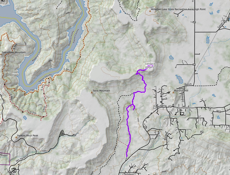
McKenzie Preserve Through Hersheimer Gap To McKenzie Table Top Topographic Map
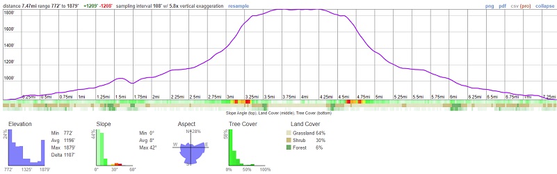
McKenzie Preserve Through Hersheimer Gap To McKenzie Table Top Profile
Sources:
Sierra Foothill Conservancy Preserves
Ruth Mckenzie Table Mountain Preserve
San Joaquin and Eastern Railroad Wikipedia
Lee, Galen D., Walking where We Lived: Memoirs of a Mono Indian Family, University of Oklahoma Press, 1999
Russell, Carl P., One Hundred Years in Yosemite, 1947 http://www.yosemite.ca.us/library/one_hundred_years_in_yosemite/
Mariposa Free Press, June 18, 1864
One and Two Gold Hill Mine Min.dat
Prior Blogs in the Area:
Hiking The Stockton Creek Preserve With The Sierra Foothill Conservancy February 26, 2022
Birding With the Sierra Foothill Conservancy at Clark’s Valley Conservation Easement May 11, 2019
Hiking With The Sierra Foothill Conservancy On The Bohna Preserve May 5, 2019
Hiking In The Rain To Table Mountain At The McKenzie Preserve March 23, 2019
Learning About Range Management on the McKenzie Preserve March 20, 2019
Hiking from McKenzie Preserve to Sky Harbor January 22, 2018


