Do you ever hike a familiar trail and wonder what is hiding just over the next ridge? I sure do and had some time to explore the terrain above Helen Lake along the Kuna Crest.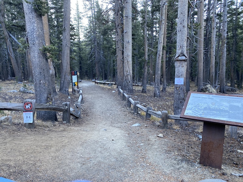 Where: Yosemite National Park
Distance: 11.16 Miles
Difficulty: Moderate to Strenuous
Elevation Range: 9,596′ – 11,348′
Date: October 19, 2020
Maps: Falls Ridge, June Lake Topographic Quads
Dog Hike? No
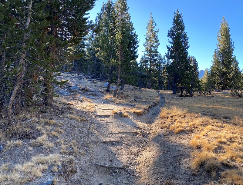
I had been watching the weather and smoke, landing on a day that I felt would be a good day to hike and I picked the perfect day to head up the Mono Pass Trail. The trailhead is located about 5.6 miles east of the Tuolumne Meadows Campground and 1.4 miles south of Tioga Pass. I was the first car in the parking lot, checked out the restrooms, and stashed my stuff in the bear box. It was 25 degrees when I headed up the trail which was and is an important Native American trail.

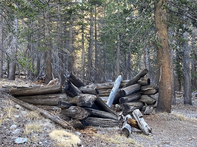
The trail was also used by miners searching for gold and silver from the 1860’s to 1890’s or so. A few cabins were located along the trail to the Golden Crown Mine and Bloody Canyon.

After the trail split, the left fork going to Mono Pass and the right fork going to Spillway Lake, I stayed to the right.

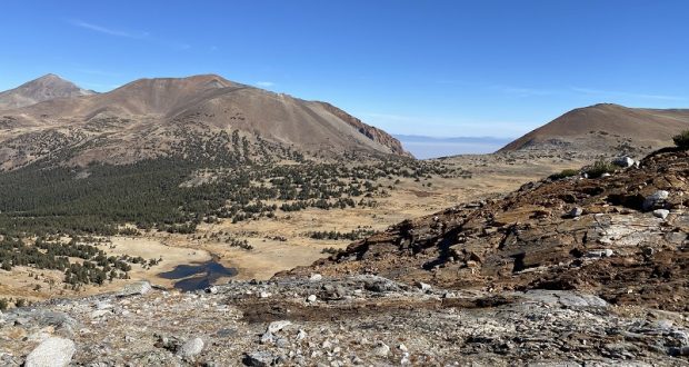
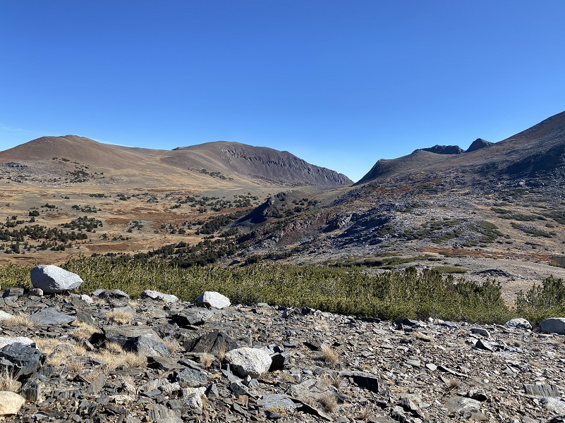
And this dark series of humps in front of and to the right of the trail were what I had been thinking about. The maps show a couple of lakes up there and a few years ago, I crossed paths with a group of backpackers who had headed from Helen Lake cross country to Kuna Lake. I have hiked much of this country but wasn’t exactly sure how a person could navigate from Helen to above Bingamann Lake. I have looked up at the possible route from different angles but never walked that ground, so I was checking out the country.
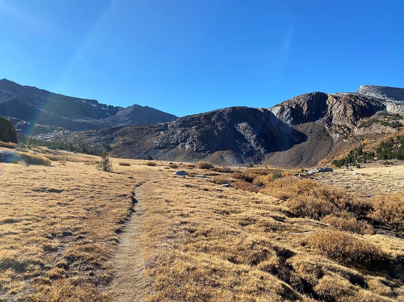
The trail ends at Spillway Lake (10,476′ elevation) and I wandered along the shore looking for reflections before heading cross country.
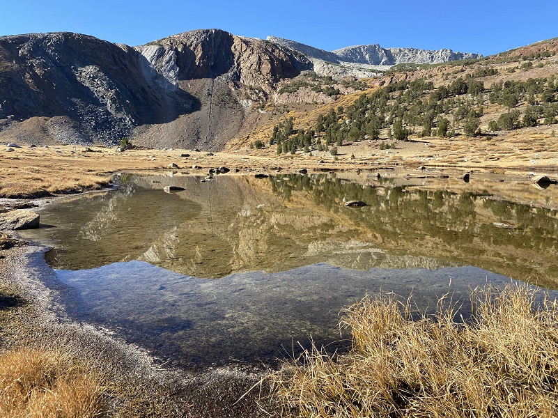
At 10 am, ice still clung to protected spots.

I headed uphill, aiming to gain elevation for my approach toward Helen Lake’s outlet then I wandered.
I caught a glimpse of Spillway Lake on my way up.

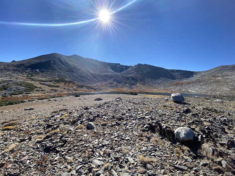
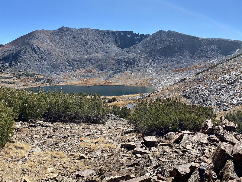
And there was Helen Lake below me.
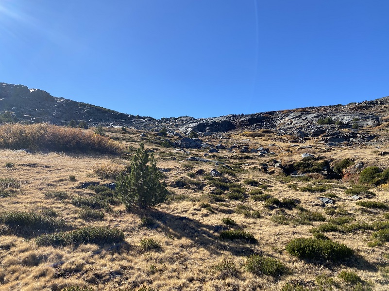
There were plenty of Whitebark Pine thickets to work my way around and through.
But I took a pause every once in a while to admire the views.
Parker Pass (11,113′ elevation)
Mono Pass (10,618′ elevation)

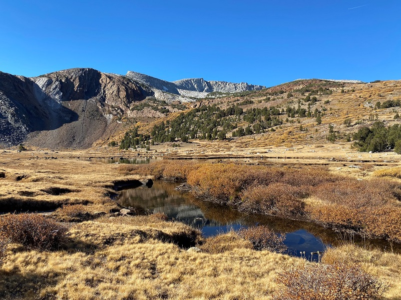
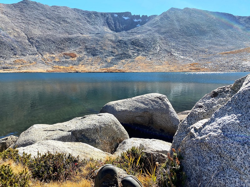
Helen Lake (10,945′ elevation)
Bingamann Lake (11,151′ elevation)
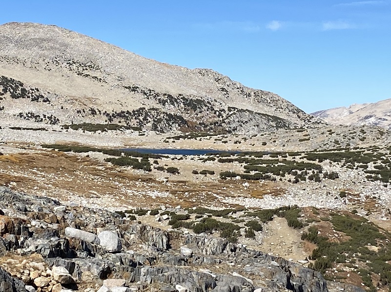
Mono Pass and Spillway Lake
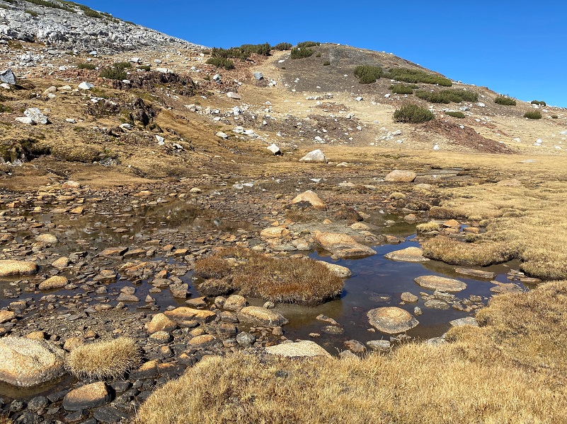
I passed by what was left of an unnamed small lake (11,175′ elevation).
I took the shortest route down, walking down the inlet to Helen Lake, between Whitebark Pine thickets and willow patches.
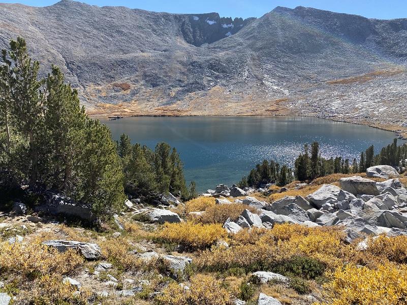
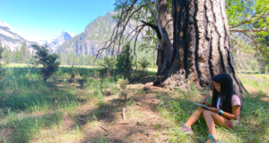
And once I reached Helen Lake, it was a good time to take a break and eat my peanut butter sandwich. I had brought my fishing pole with me but didn’t wet my line.
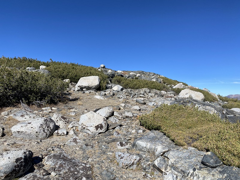
I had hoped to find a route into Bingamann Lake and maybe a route into a higher lake but ran out of time. Sometimes I don’t make it somewhere the first time because I spend so much time route finding around outcroppings or thickets but I come out of the adventure with a better feel for the land for the next venture in the area.
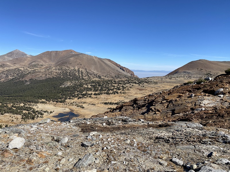
The fall color along the Big Oak Flat and Tioga Roads were definitely showing more color. Along Big Oak Flat Road, the dogwoods were about 50% or so on their red leaves. Yellows along Tioga Road had deepened with a couple of spots some oranges and very little green left.
Dog Hike? No, dogs are not allowed on this trail in Yosemite National Park.
Doarama:
What is a Doarama? It is a video playback of the GPS track overlaid on a 3 dimensional interactive map. If you “grab” the map, you can tilt it or spin it and look at it from different viewing angles. With the rabbit and turtle buttons, you can also speed it up, slow it down or pause it.
Mono Pass Trail To Lakes Along The Kuna Crest
Map and Profile:
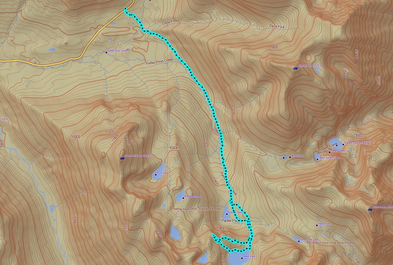
Wandering Above Helen Lake Along the Kuna Crest Topographic Map
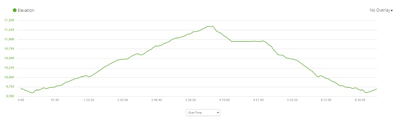
Wandering Above Helen Lake Along the Kuna Crest Profile
Prior Blogs in the Area:
Hiking Yosemite’s Mono Pass Area: Spillway Lake to Parker Pass Lake Looped Hike September 29, 2020
Hiking Between Yosemite’s Mono Pass Trail and the Kuna Crest August 20, 2020
Adventures with Candace: Hiking Up Yosemite’s Mono Pass Trail July 7, 2020
Wandering up Yosemite’s Mono Pass Trail August 14, 2019
Hiking up to Bingaman Lake on a Chilly Day November 8, 2018
Hiking along Yosemite’s Mono Pass Trail August 15, 2018
Hiking up to Mono Pass Trail’s High Lakes August 25, 2017
Exploring High Lakes Above the Mono Pass Trail July 28, 2016
Hiking and Fishing High Lakes along the Mono Pass Trail August 14, 2013
Sources:
Mono Pass Trail Yosemite Hikes
History of Sierra Nevada Bighorn Sheep Yosemite
Place Names of the High Sierra (1926) by Francis P. Farquhar
Browning, Peter, Yosemite Place Names, Great West Books, Layfayette, California, 1988
Exploration of the Sierra Nevada (1925) by Francis P. Farquhar
Wiliam Owens Parker Find a Grave
Bridgeport Chronicle-Union, September 6, 1930
Clark’s Nutcatcher All About Birds
1901 USGS Mount Lyell Topographic Map
Pathways: A Story of Trails and Men (1968), by John W. Bingaman
The Ahwahneechees: A Story of the Yosemite Indians (1966) by John W. Bingaman
The above two books by John W. Bingaman were digitized by Dan Anderson, September 2004, from a copy in the UCSD Library. These files may be used for any non-commercial purpose, provided this notice is left intact.
—Dan Anderson, www.yosemite.ca.us