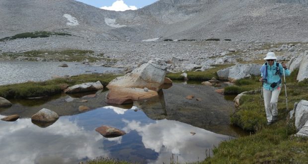
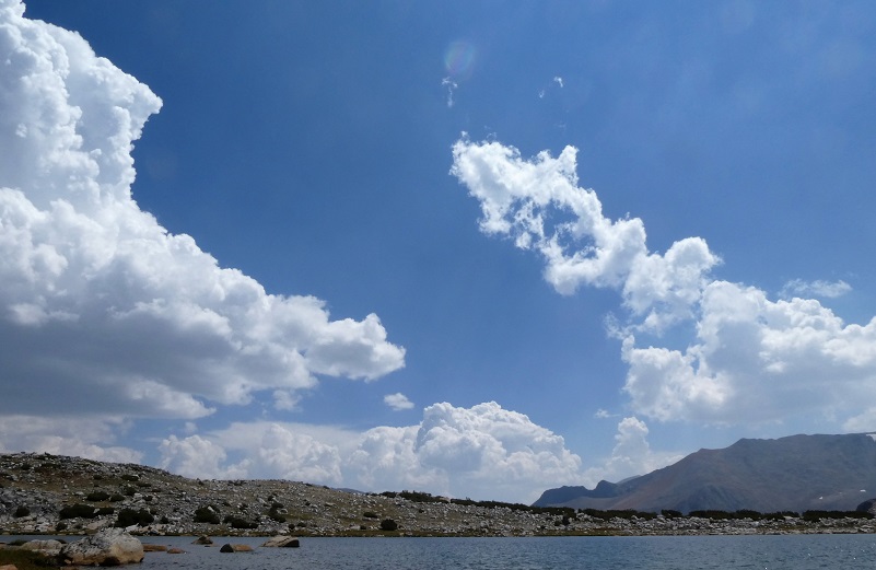
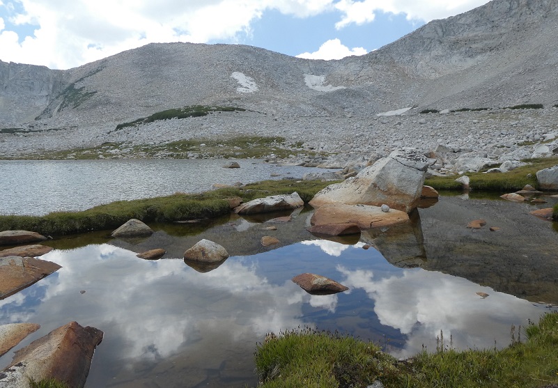
We headed off-trail to check out the country above the Mono Pass Trail. We never know what we will find and that is part of the excitement. The 30 percent chance of thunderstorms didn’t deliver the lightening, thunder or rain but they did deliver beautiful reflections of white clouds in those beautiful high lakes.
Where: Yosemite National Park
Distance: About 9 Miles
Difficulty: Moderate to Strenuous
Elevation Range: 9,596′ – 11,194′
Date: August 15, 2018
Maps: Tioga Pass, Mount Dana, Koip Peak
Dog Hike? No
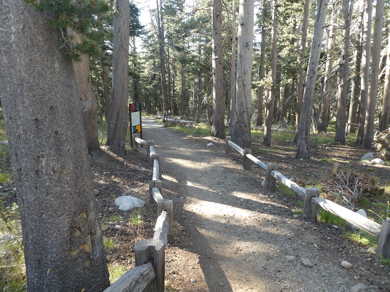
We parked our car at the Mono Pass Trailhead, about 5.6 miles east of the Tuolumne Meadows Campground and 1.4 miles south of Tioga Pass. After using the restrooms there and stowing our stuff in the bear box, we headed up this historic trail. The Mono Pass Trail has a ton of history, the earliest historic use being an important Native American trail.
The trail led us through meadows that the late summer had turned yellow and brown, unveiling great views ahead.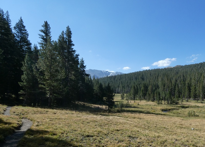

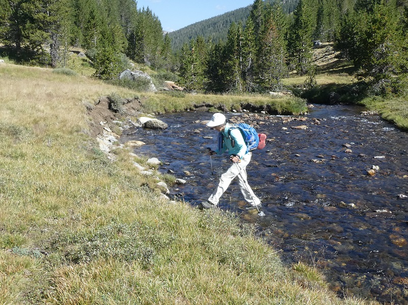
We crossed a few small creeks as we wandered cross country. We had carried our water shoes but didn’t need to change into them. The creek had perfectly placed rocks that allowed us to keep our socks and shoes dry this time.
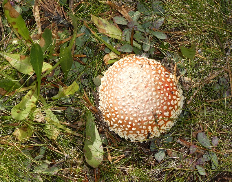
As I walked uphill, I came by this beautiful fungus of some sort.
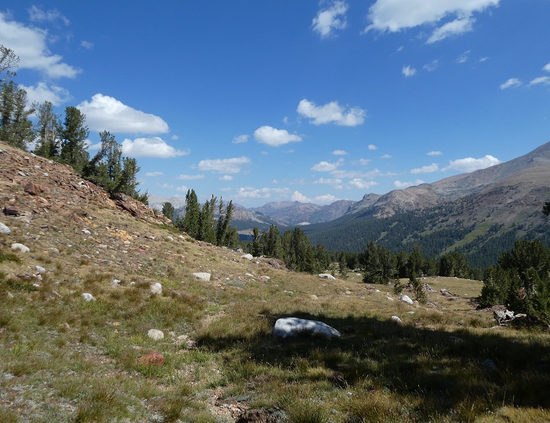
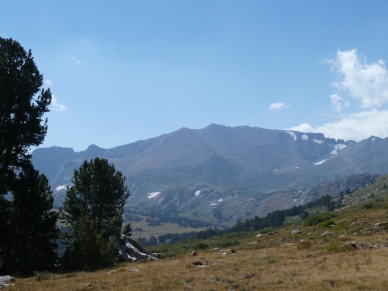
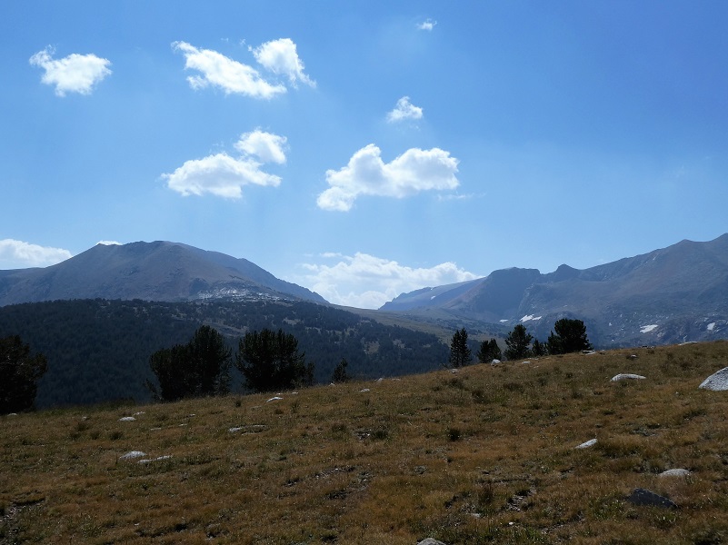
 When we broke out of the trees, we looked every direction and each one of those directions gave us a very nice view.
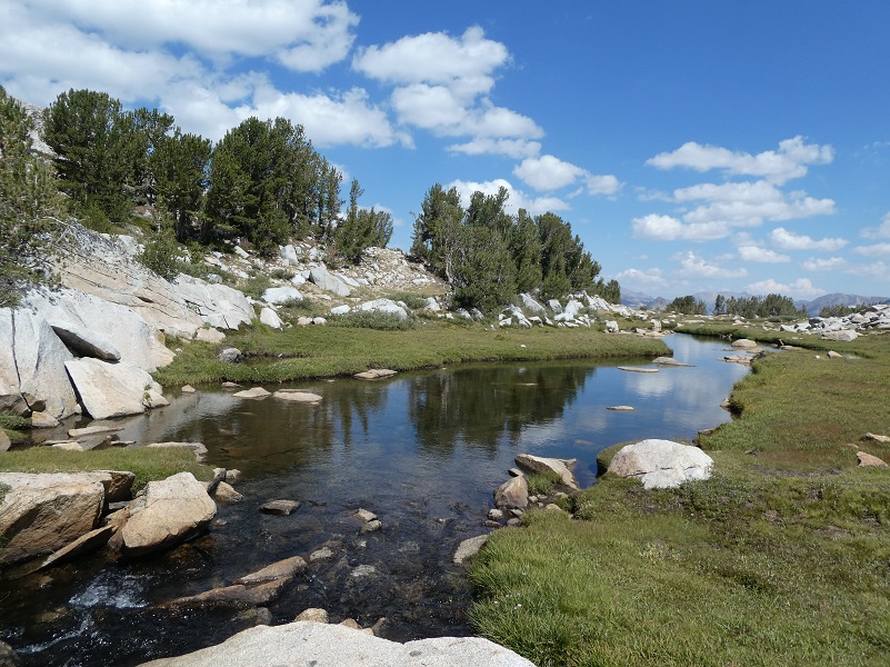
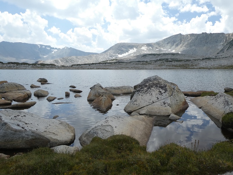
When we reached this small creek, white clouds provided the most perfect subtle reflections in it.
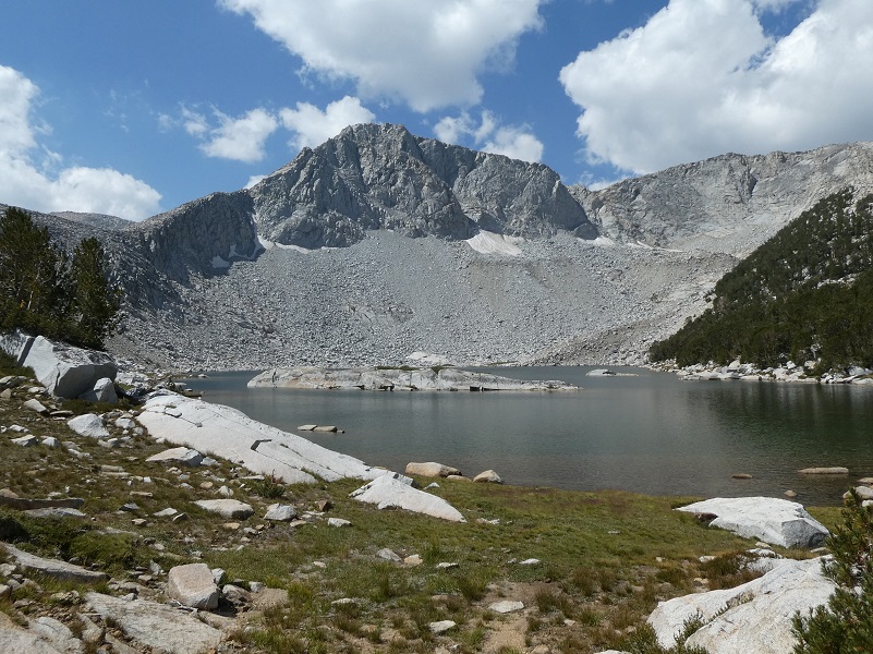
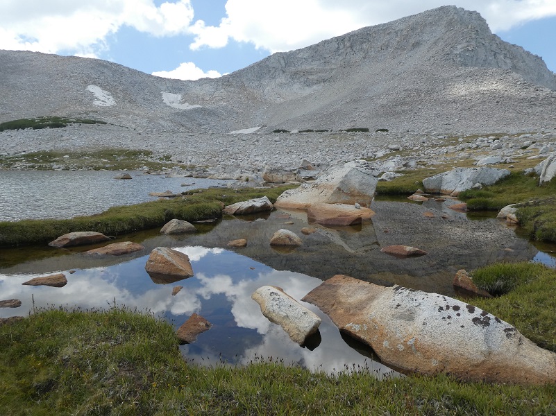
We continued our cross country jaunt, stopping by several lakes in this high country.
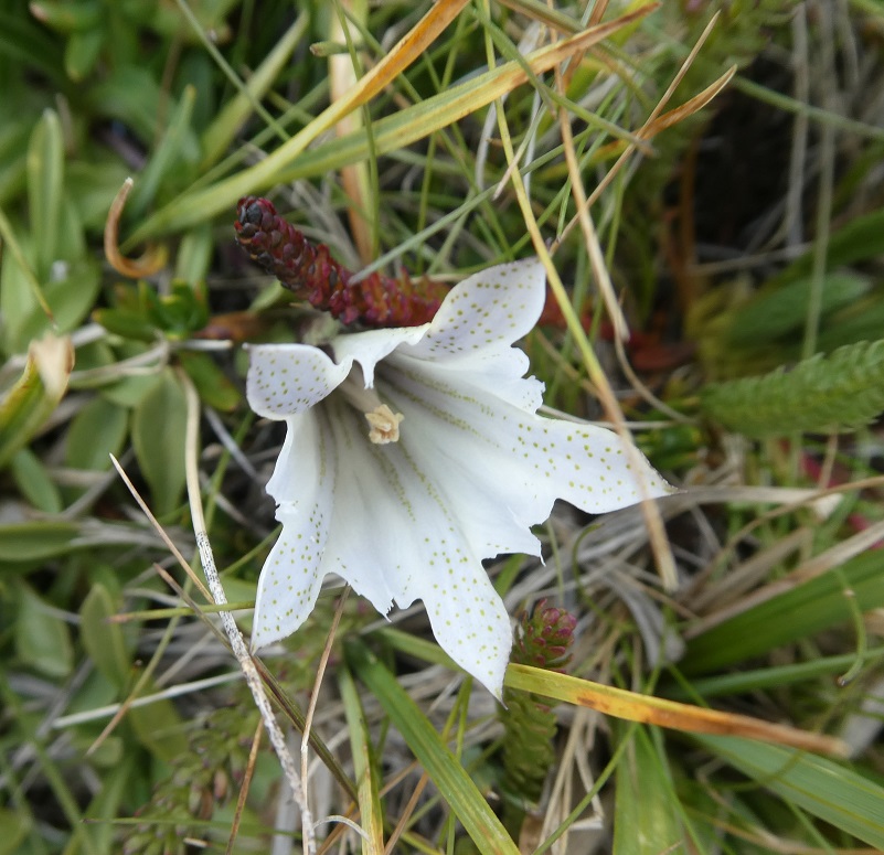
I noticed many of these small white flowers at about the 11,000′ elevation. I don’t remember seeing them before and they were so delicate and beautiful.
It was lunch time and we found some good sitting rocks next to a lake.
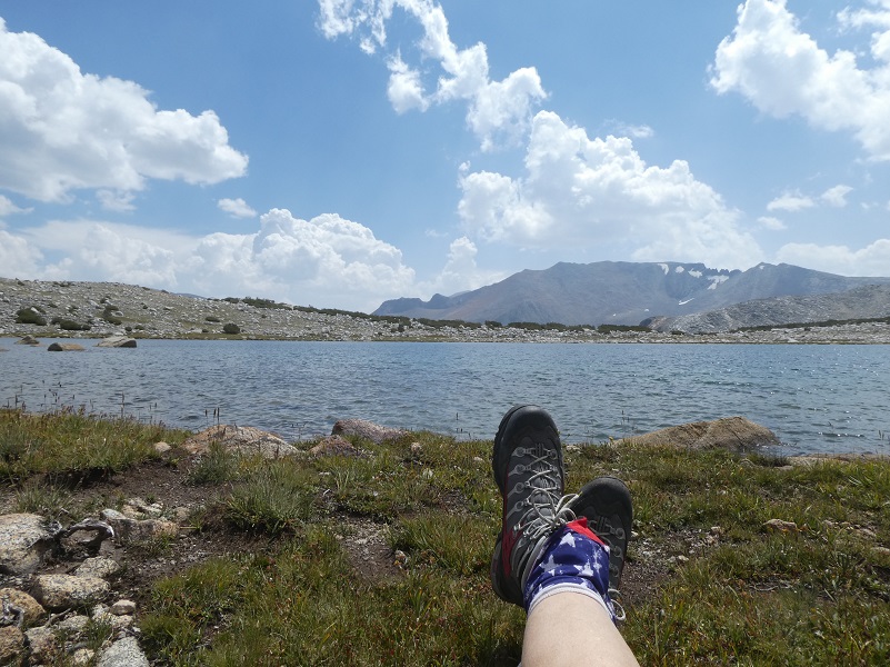
And we watched the clouds, we ate our lunch, then we did nothing at all for a while.


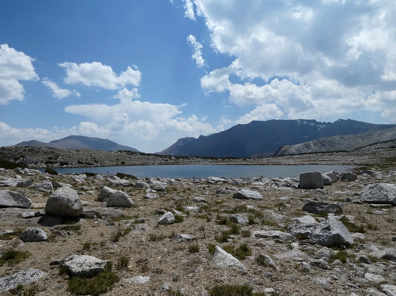
It was time to move on and while we walked along a small pool of water, the reflections were amazing and as I circled around this pool, the reflections changed with every step.

It was time to leave our lakes and head down.
 What a surprise to round a corner and find a patch of snow at about the 11,000′ elevation. Of course we had to take our pictures next to it.
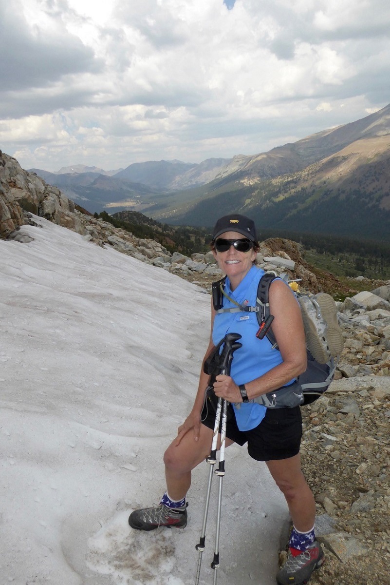
Photo of Me by Gail Gilbert
I didn’t share a detailed track on the topographic map on this hike because we really wandered around where we were drawn to, most of it off trail. There is plenty to see in this area and you don’t need to hike too far to see beautiful lakes and if the wind isn’t blowing too much, you will see reflections in them.
Map:

Dog Hike? No, dogs are not allowed on this trail in Yosemite National Park.
Prior Blogs in the Area:
Hiking up to Mono Pass Trail’s High Lakes August 25, 2017
Exploring High Lakes Above the Mono Pass Trail July 28, 2016
Hiking and Fishing High Lakes along the Mono Pass Trail August 14, 2013

