When Glacier Point Road closes this year, it will be closed for at least a year. That is why I am trying to make hay while the sun shines, getting my hikes in on the trailheads off of this road while I can. This week, I headed to Ostrander Lake on a cool, fall day.
Where: Yosemite National Park
Distance: 12.59 Miles
Difficulty: Moderate to Strenuous
Elevation Range: 6,998′ – 8,611′
Elevation Gain: 1,805′
Date: November 18, 2021
CALTOPO: Glacier Point Road to Ostrander Lake
Dog Hike? No
In case you haven’t heard, Glacier Point Road will be closing for all of 2022 and with delays in 2023 so now is the time to get up there while you can. The existing roadway was completed in 1936, replacing the original wagon road built in 1882, so it is time for a major replacement. The Bridalveil Campground will also be closed during that time to rehabilitate the water system, replacing the original plumbing which was built in the 1950s.
In addition to pulverizing and paving the entire road from Badger Pass to Glacier Point, intensive road repair would take place in the following key areas:
- Repair curves on the road leading down to Glacier Point. This road segment contains steep and narrow hairpin curves that drop 600 feet in elevation in about 1.6 miles. Currently large vehicles cross the double-yellow centerline to navigate the curves.
- Address safety hazards at the scenic overlook viewing the Clark Range by improving the pullout.
- Repair road areas west of Summit Meadow to prevent the continued settlement of the roadway.
- Pave the overflow parking area at the Sentinel Dome trailhead. Current off pavement parking is damaging fragile resources in this high-elevation habitat. This parking area will continue to accommodate the same number of vehicles. Additionally, new accessible vault toilets will be installed at the parking area.
- Formalize the McGurk Meadow Trailhead parking area to increase safety.
- Repave the Glacier Point parking area. Additionally, two new concrete staircases will be built to connect the upper and lower parking areas and one additional oversize vehicle space will be created.
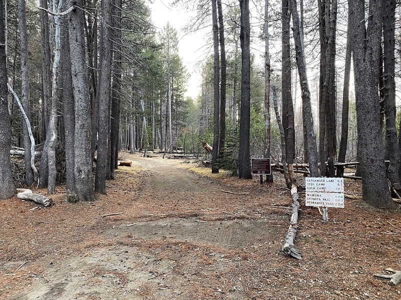
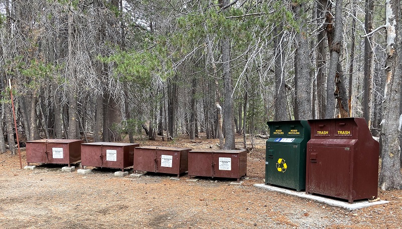 I headed up Highway 41 through the South Entrance to Yosemite near Mariposa Grove, then up Glacier Point Rd. I continued about 9 miles to the wide parking area that is just off the road on the right hand side, just past where Glacier Point Rd. crosses Bridalveil Creek. It was 27 degrees when I put my goodies in the bear box, then I headed up the trail, following the signs along the way. All of the metal trail signs were at the trail junctions, pointing the way to Ostrander Lake and other wonderful destinations.
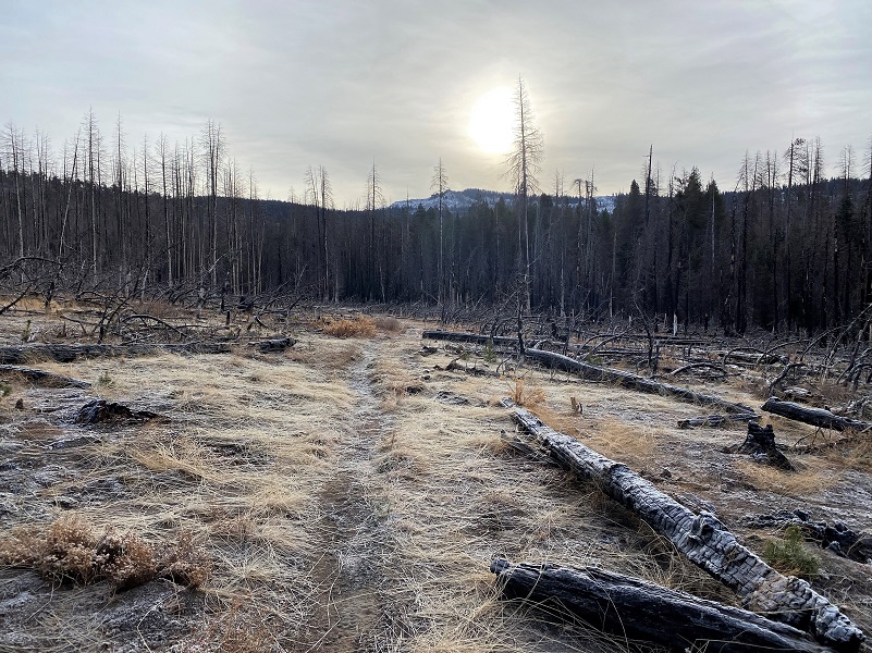
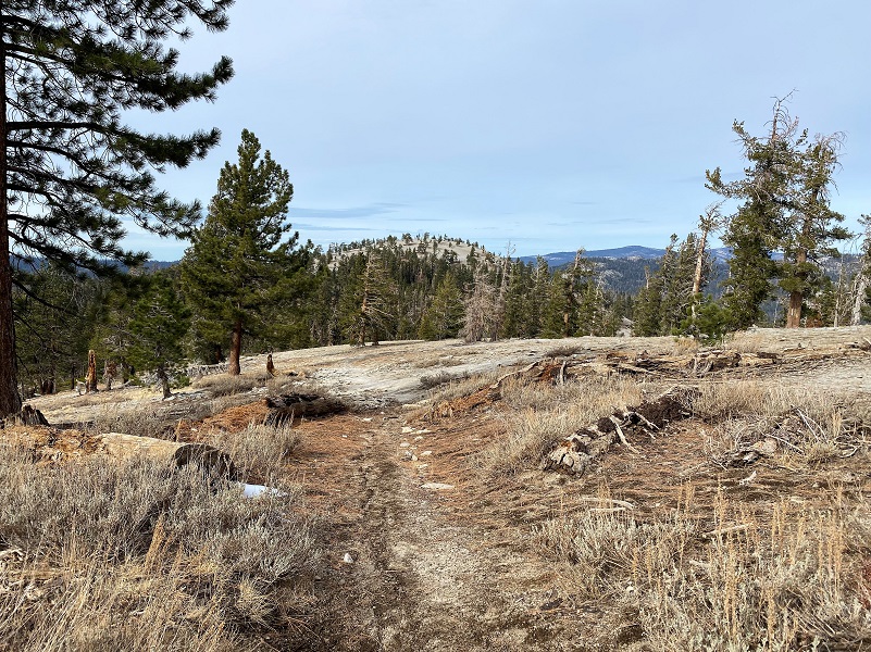
It was early in the morning and the sun wasn’t over the mountains yet. Not the most ideal photography kind of day with grey skies but it was the day I had picked to do this hike.

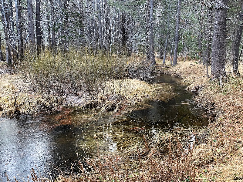
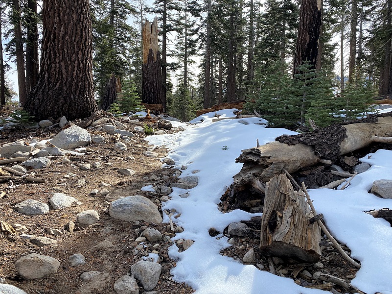
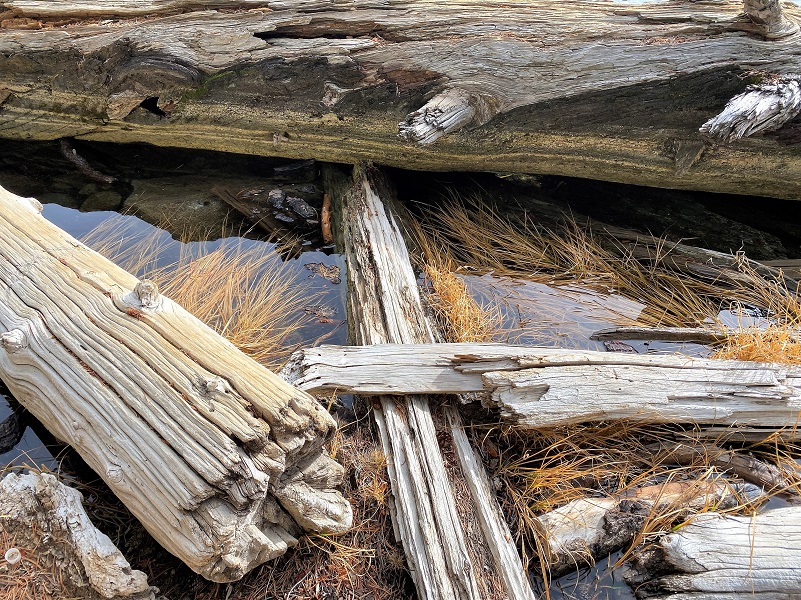
The ice on the little creek that runs along side the trail was pretty thin in the morning and it was gone when I passed by in the afternoon.
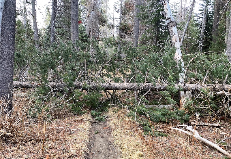
Quite a few smaller trees had fallen across the trail but nothing that I could walk around or climb over.
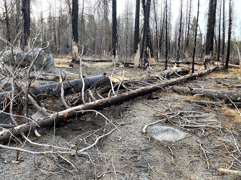
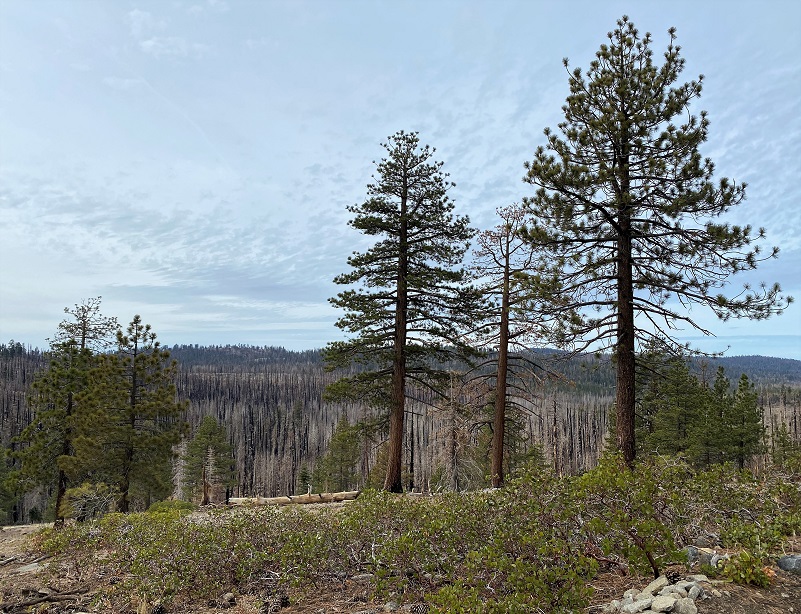
The trail led through 2017’s lightening caused Empire Fire. The fire was reported on August 1, 2017, burning 8,094 acres before it was fully contained on November 27.
After the trail fork to Buck Camp, there were quite a few new down trees. They weren’t very large and easily walked over or around. There are plenty more dead trees through the burned areas ready to come down and I wouldn’t advise hiking this area in a wind.


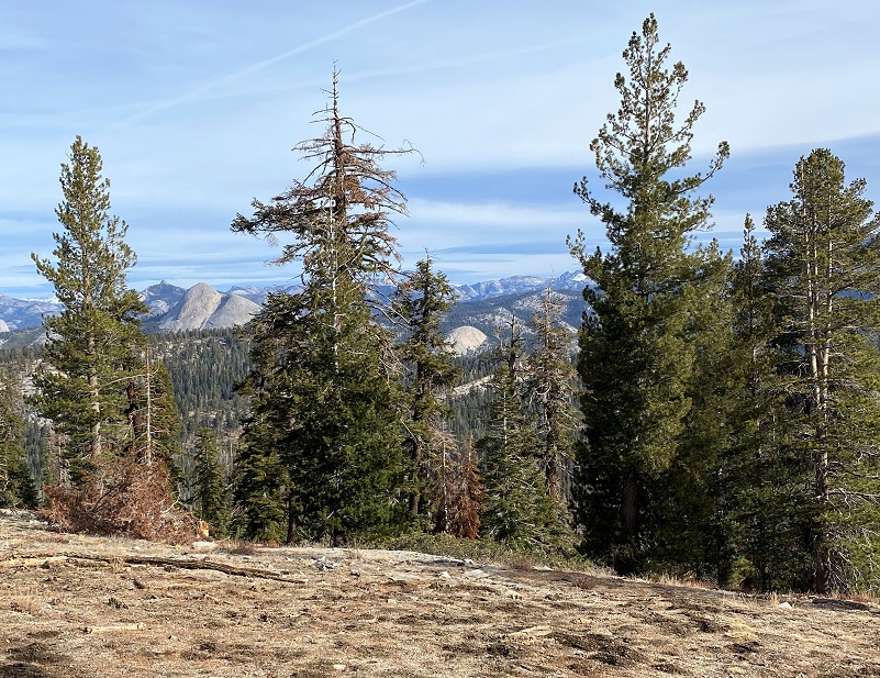
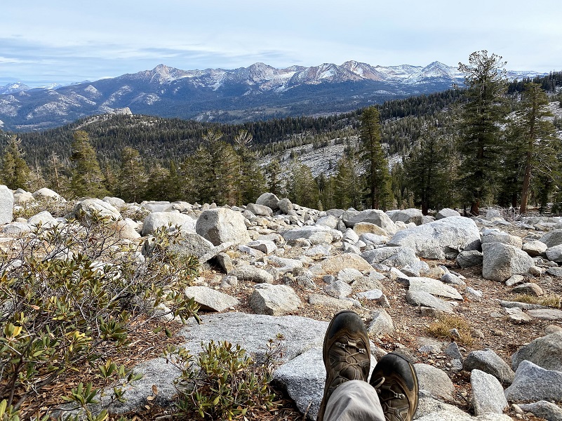
As I headed up the ridge, I couldn’t resist the urge to take a peek at the high country to the east.
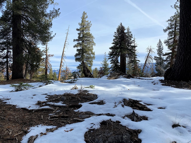

I had packed my microspikes for the next section of trail which sometimes can have a little ice and snow hanging in but I didn’t need them. This was the most snow on the trail that I came across on this day.
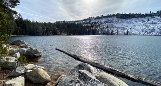
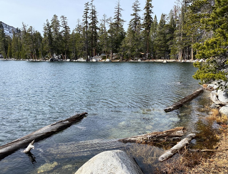
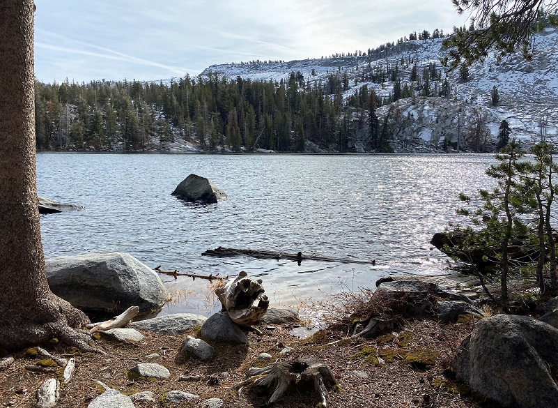
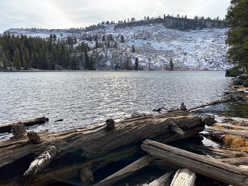
I was really curious whether Ostrander Lake would have any ice on it and I didn’t know until my first look at it. No ice, but still beautiful!

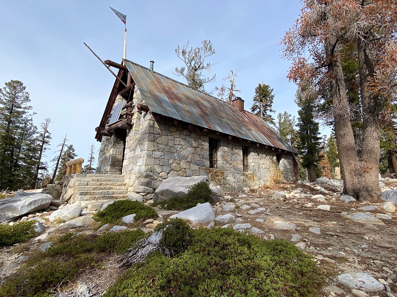
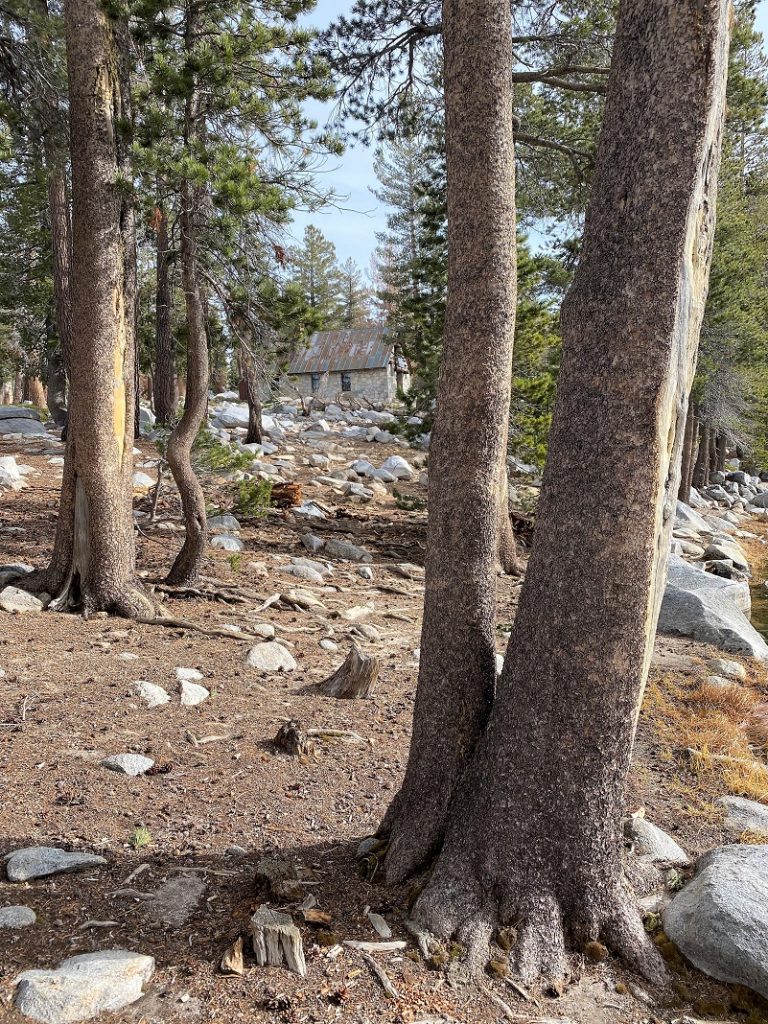
I walked down and alongside the Ostrander Ski Hut. It is a two story stone building that was built in 1941 by the Civilian Conservation Corps for cross-country skiers. It was originally intended to be part of a larger system of winter trails and huts along the Sierra Crest that never were developed. It is operated by the Yosemite Conservancy, a non-profit educational organization in Yosemite National Park and is staffed with a hutmaster during the winter months.
It has been closed a couple of years due to COVID but it can sleep 25 people and has bunks, mattresses, wood stove, a kitchen with a gas stove for cooking and assorted pots and pans available for the visitor’s use. Drinking and wash water is hauled from the lake in buckets and that water treatment is the individual visitor’s responsibility. Light is from solar powered lights.
National Park Service rangers staffed the cabin starting in the 1960s, but by 1974, demand for the hut grew too large, and Yosemite Conservancy, in conjunction with NPS, took over its stewardship and management.
All revenue from overnight fees is used to operate the ski hut. The Conservancy has also established a reserve account to ensure essential maintenance is carried out. The Ostrander Ski Hut is just one of many projects that the Conservancy supports with money and personnel. You can access the link to Yosemite Conservancy at the end of this Blog to learn more and about how you can help.
Continuing down to the lake, I wandered along the edge. A breeze was up so I wasn’t treated to any beautiful reflections.


I headed back up toward the ski hut.
It was a little early for lunch so I headed back down the trail, taking a little detour to check out the views.
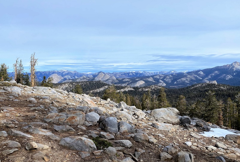
And time for a snack with that view.
It was soon time to head back down.
I didn’t see a soul all day, I was the only vehicle in the parking lot when I hit the trail and the only vehicle in the parking lot when I returned. I did see plenty of coyote tracks on the trail so I guess I wasn’t alone. Sometimes I see bear on this hike but not today. This is one of those hikes that I like to do when it is cooler because of that uphill climb.
Dog Hike?
No, dogs are not allowed on this trail in Yosemite National Park.
Doarama:
What is a Doarama? It is a video playback of the GPS track overlaid on a 3 dimensional interactive map. If you “grab” the map, you can tilt it or spin it and look at it from different viewing angles. With the rabbit and turtle buttons, you can also speed it up, slow it down or pause it.
Glacier Point Road to Ostrander Lake Hike Doarama
Map and Profile:
CALTOPO has some free options for mapping and here is a link to my hike this week: CALTOPO: Glacier Point Road to Ostrander Lake
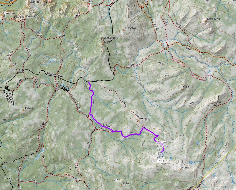
Hiking From Glacier Point Road to Ostrander Lake Topographic Map
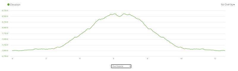
Hiking From Glacier Point Road to Ostrander Lake Profile
Prior Blogs in the Area:
Hiking From Glacier Point Road to Ostrander Lake June 19, 2019
Hiking to Ostrander Lake June 20, 2017
Hiking to Ostrander Lake May 16, 2016
Ostrander and Heart Lakes Hike April 4, 2015
Glacier Point Road to Ostrander Lake Hike April 23, 2014
Ostrander Lake Hike May 29, 2013
Sources:
Yosemite Valley Place Names (1955) by Richard J. Hartesveldt