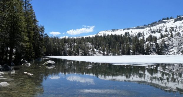
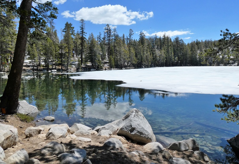
Our destination was icy Ostrander Lake, full of beautiful reflections and bordered by a snowy, rocky ledge. But we had to work for it, hiking through burned areas and up the trail through open granite in the heat. It was so worth it!
Where: Yosemite National Park
Distance: 12.83 Miles
Difficulty: Moderate to Strenuous
Elevation Range: 6,998′ – 8,612′
Date: June 19, 2019
Maps: El Capitan, Merced Peak Topographic Quad Maps
Dog Hike? No
 We headed up Highway 41 through the South Entrance to Yosemite near Mariposa Grove, then up Glacier Point Rd. We continued about 9 miles to the wide parking area that is just off the road on the right hand side, just past where Glacier Point Rd. crosses Bridalveil Creek. We sprayed down for mosquitoes and ticks, put our goodies in the bear box and used the restroom before heading up the trail, following the signs along the way. We sign advised of snow on the trail and we were already aware of this from our intel that we had gathered before the hike.
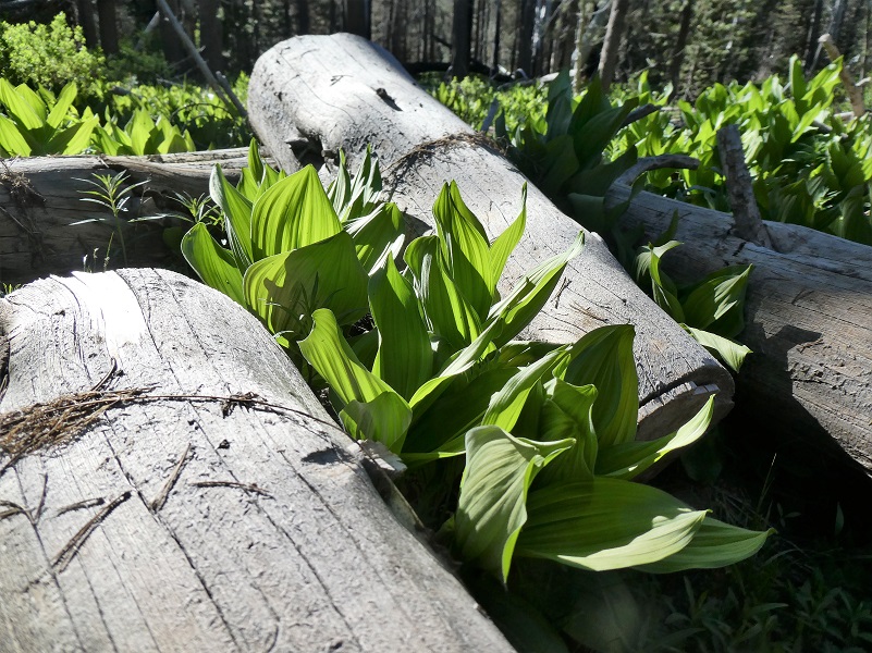
At first the trail led us under the shade of trees where sunlit corn lilys were just beginning to leaf out.


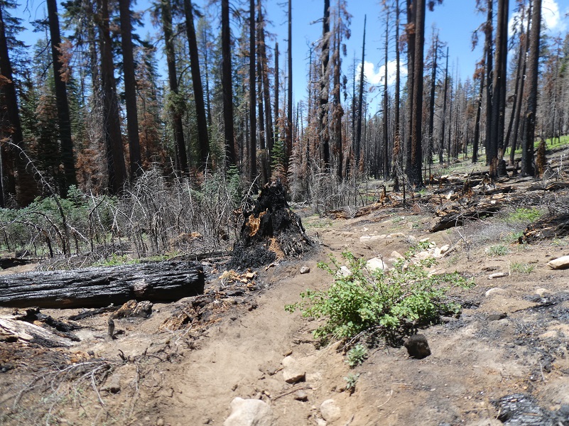
Then the trail led us through a long stretch of burned areas.
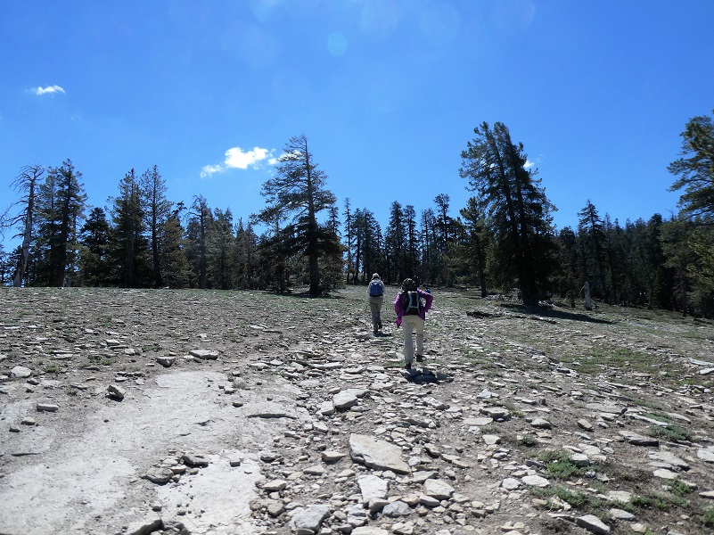
Then it led us over a granite area and uphill, mostly devoid of trees. It was warming up and I was really going through my water as we reached the stretch that many refer to as heart attack hill.
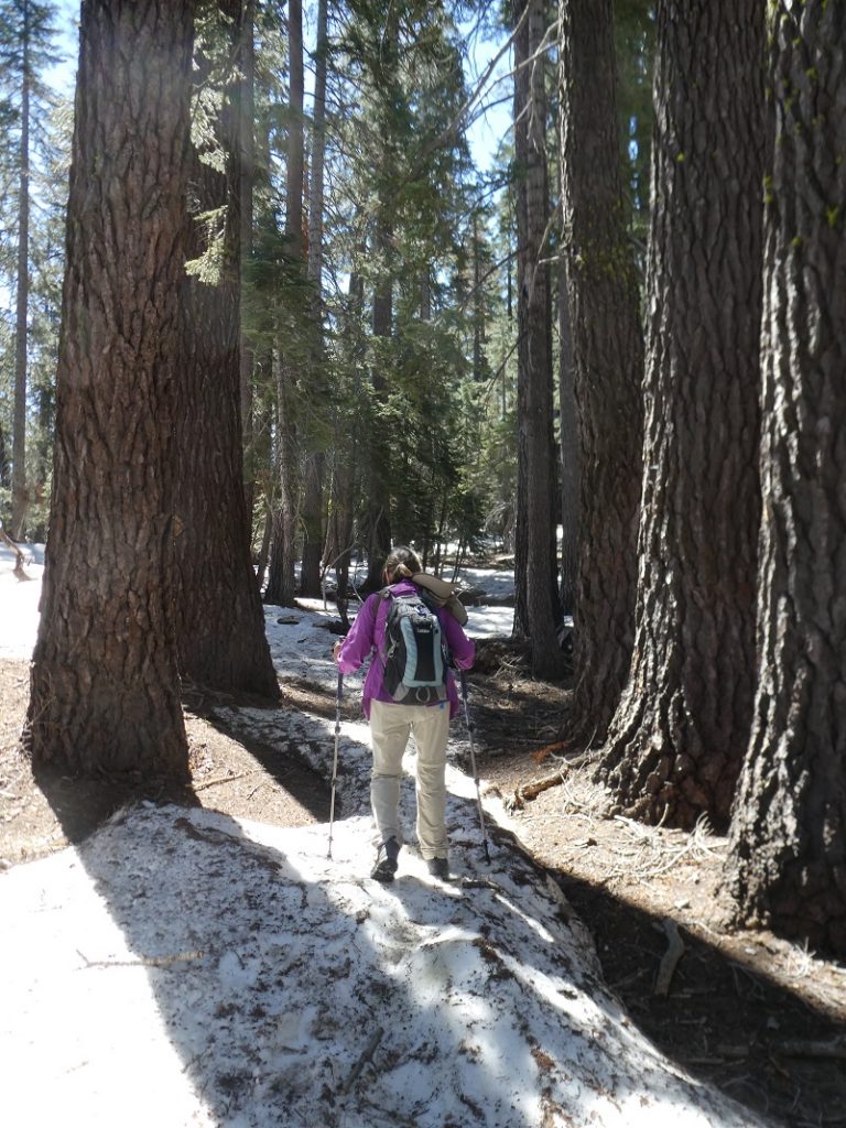
Then we hit patches of snow.
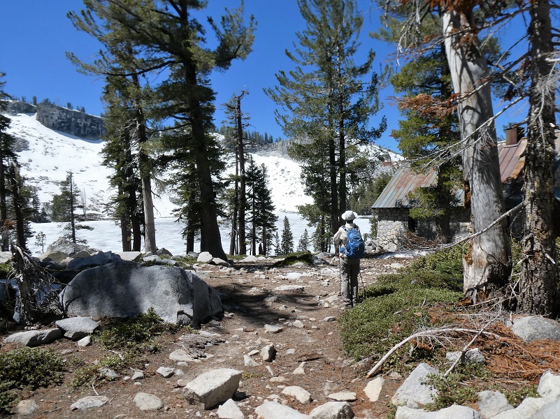
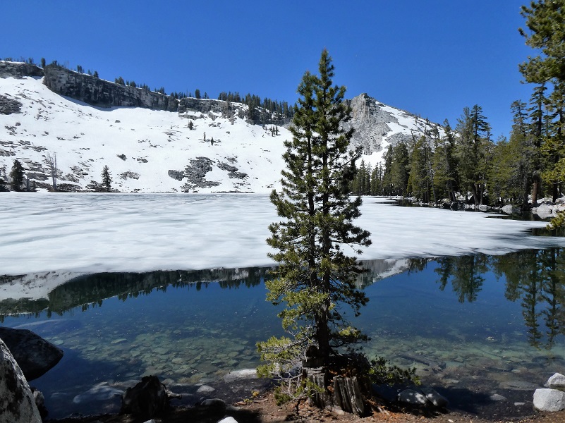
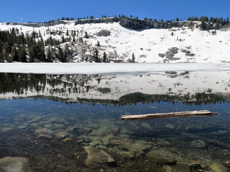
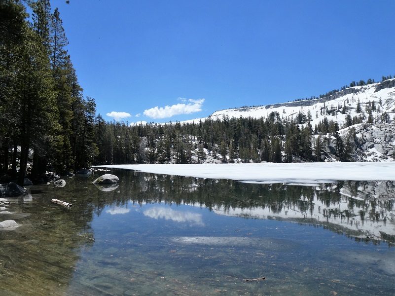
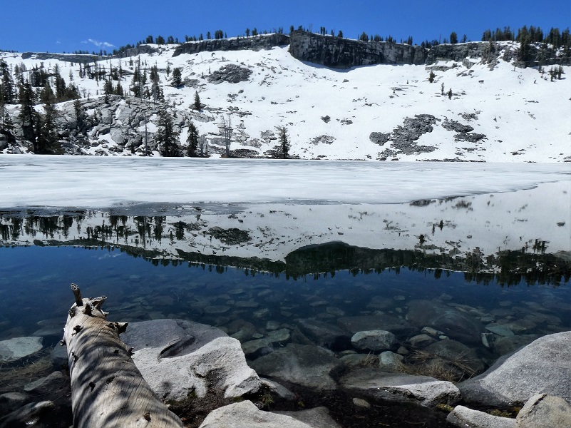
Sometimes we stop to take in the view from an overview area before we head to Ostrander Lake but we decided to catch that on the way back. We were very excited to see what the lake looked like and didn’t want to waste any chance to see ice on the lake. Our first look at the lake revealed ice on it! I just love it when we visit a lake that is slowly melting.
Ostrander Lake is the primary source of Bridalveil Creek, which feeds Bridalveil Falls. I have found 3 different stories about how Ostrander Lake got its name. Wikipedia says that the lake is named for a descendant of Alexander Ostrander (1783) of Smithfield NY and that this branch of Ostrander family settled in Colorado (Georgetown, Granby, Hot Sulphur Springs, Golden) prior to 1872, some moving from Colorado to California. Yosemite National Park’s website says that is named for a Sheepman.
One site even says that the lake is named after Alexander Ostrander who settled near the lake. Well, that last one is not true because this Alexander Ostrander never left New York.
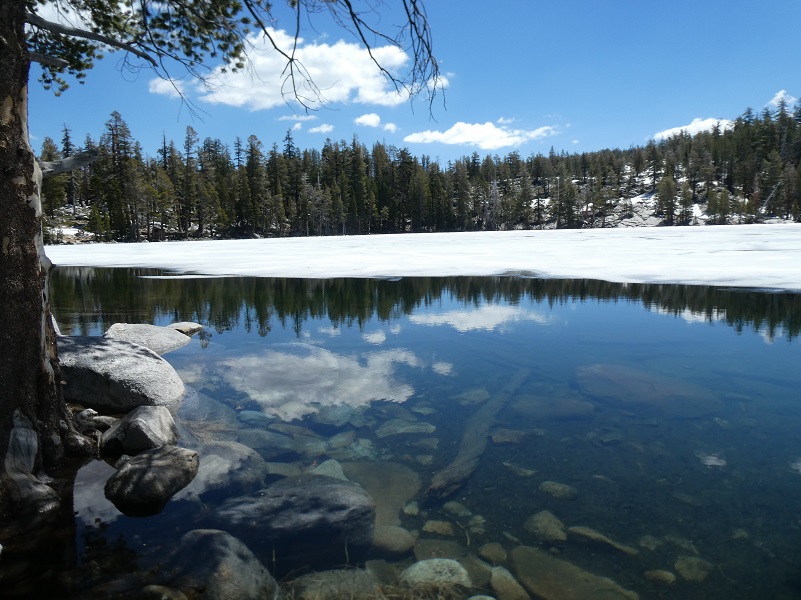
As we walked along the lake, different views delivered different reflections.

The Ostrander Ski Hut looked so pretty with the lake’s ice. It is a two story stone building that was built in 1941 by the Civilian Conservation Corps for cross-country skiers. It was originally intended to be part of a larger system of winter trails and huts along the Sierra Crest that never were developed. It is operated by the Yosemite Conservancy, a non-profit educational organization in Yosemite National Park and is staffed with a hutmaster during the winter months.
It sleeps 25 people and has bunks, mattresses, wood stove, a kitchen with a gas stove for cooking and assorted pots and pans available for the visitor’s use. Drinking and wash water is hauled from the lake in buckets and that water treatment is the individual visitor’s responsibility. Light is from solar powered lights.
National Park Service rangers staffed the cabin starting in the 1960s, but by 1974, demand for the hut grew too large, and Yosemite Conservancy, in conjunction with NPS, took over its stewardship and management.
All revenue from overnight fees is used to operate the ski hut. The Conservancy has also established a reserve account to ensure essential maintenance is carried out. The Ostrander Ski Hut is just one of many projects that the Conservancy supports with money and personnel. You can access the link to Yosemite Conservancy at the end of this Blog to learn more and about how you can help.

Ready for more icy reflections?

We found some good rocks to stop, eat our lunch and admire the view.

A marmot was also admiring our lunch.

Marmot (Photo by Gail Gilbert)
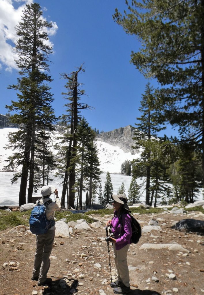
One last look and pictures, then we headed back on the trail.
We did make a stop at that overlook that I had mentioned on the way back. It has the best view of the Merced Peak, Red Peak, Gray Peak and Triple Divide Peak. These are Peaks at the southern part of Yosemite. It was a great spot to take a panoramic shot.

Back through the burned area but we noticed carpets of flowers.
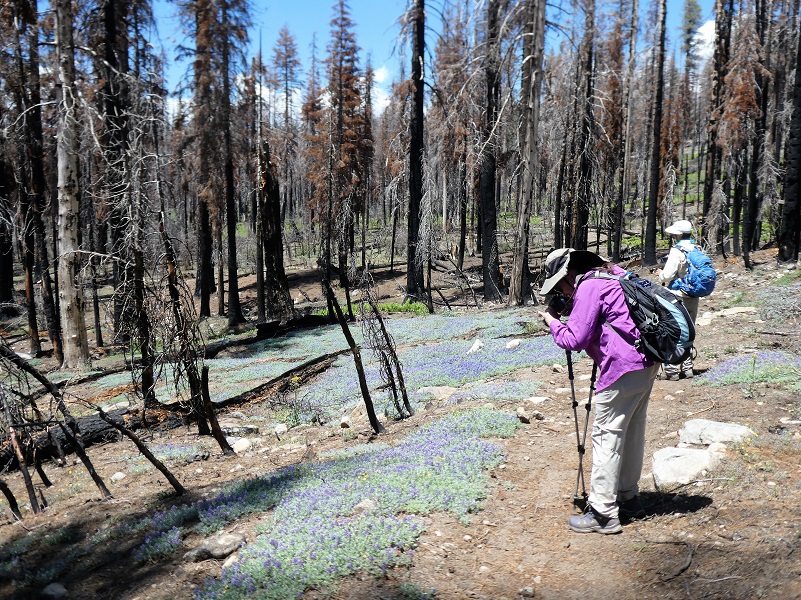
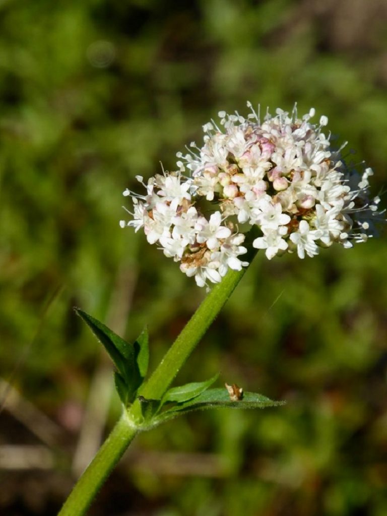
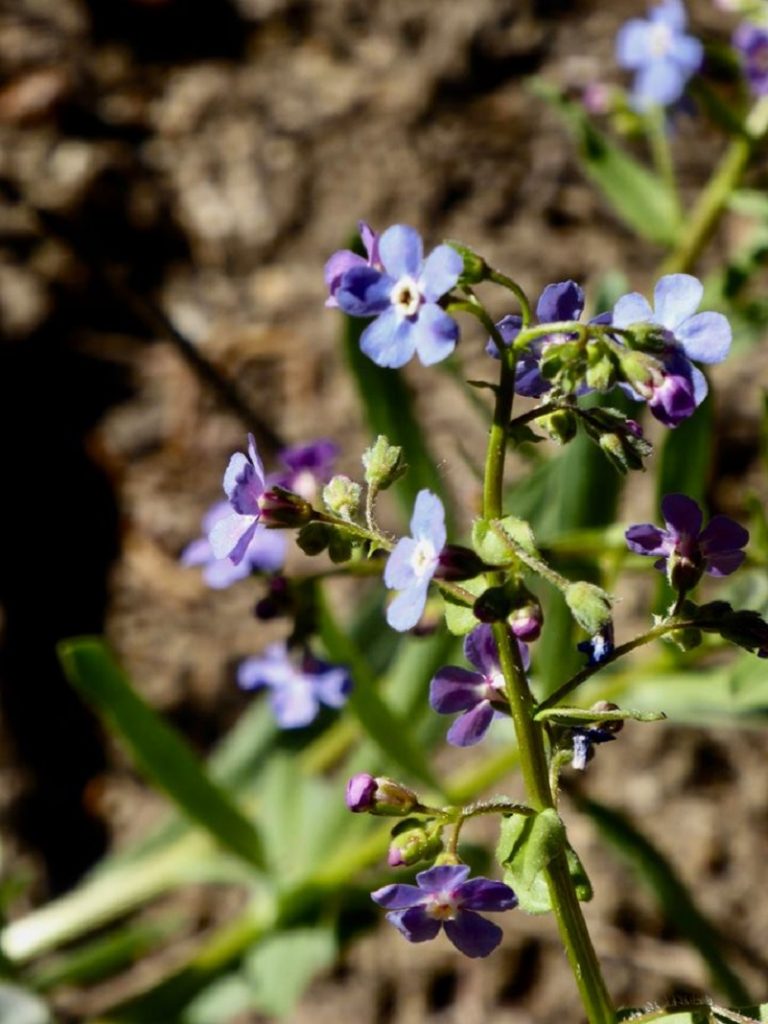
It really was surprising so many wildflowers in the burned areas and those violets were a real treat. Oh, and the ladybugs were flying everywhere, landing on us as we hiked.
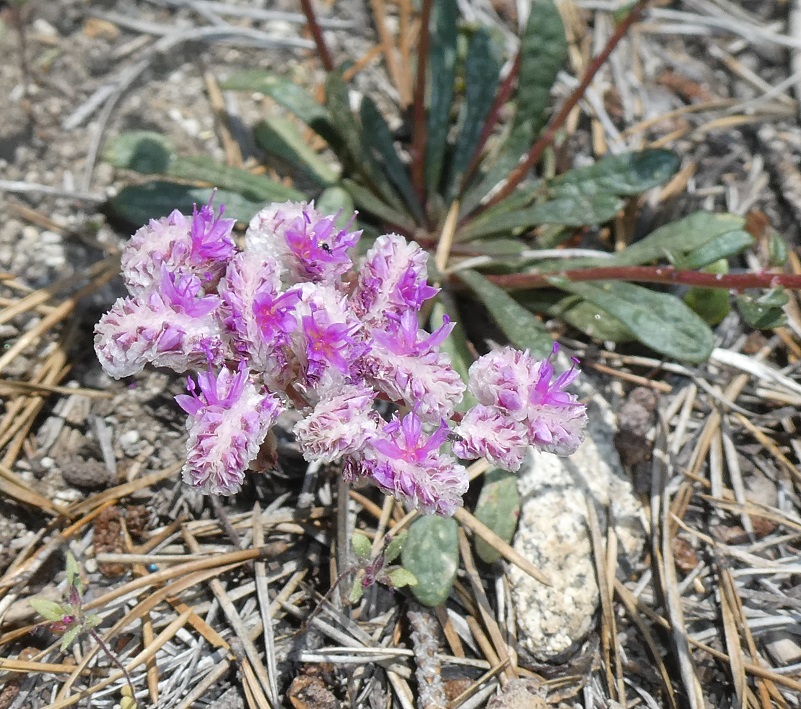
(Photo by Gail Gilbert)
Stickseed (Photo by Gail Gilbert)
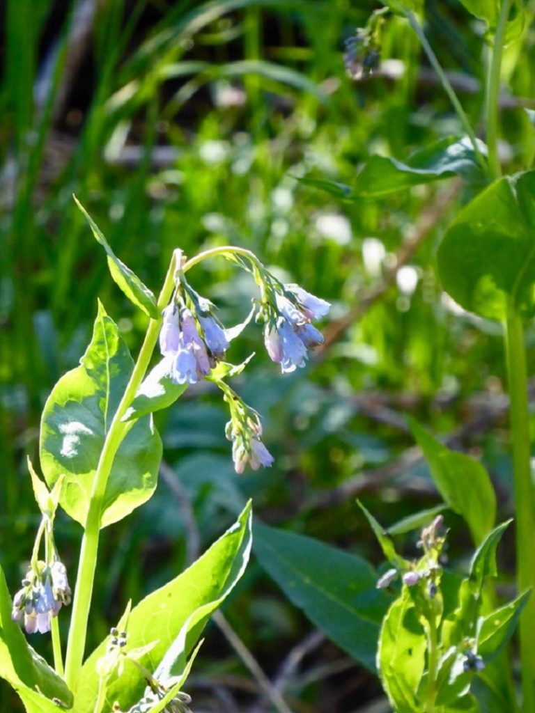
Mountain lungwort (Photo by Gail Gilbert)
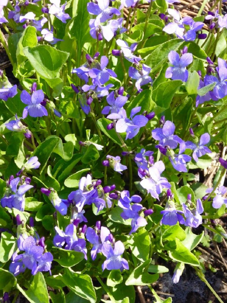
Violet (Photo by Gail Gilbert)
This is one of those hikes that I like to do when it is cooler, preferably when there is some snow and ice. We made sure that we not only brought plenty of water but drank it. I have also taken my fishing pole along with me on this hike in the past and caught Brook Trout. We talked to backpackers staying at the lake that had done a little fishing and they said they did quite well.
Dog Hike?
No, dogs are not allowed on this trail in Yosemite National Park.
Doarama:
What is a Doarama? It is a video playback of the GPS track overlaid on a 3 dimensional interactive map. If you “grab” the map, you can tilt it or spin it and look at it from different viewing angles. With the rabbit and turtle buttons, you can also speed it up, slow it down or pause it.
Map and Profile:
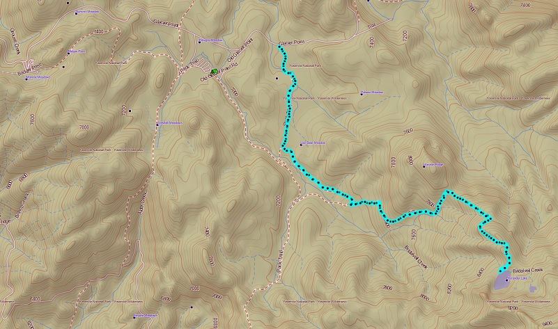
Ostrander Lake Topographic Map
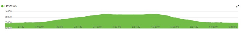
Ostrander Lake Profile
Prior Blogs in the Area:
Hiking to Ostrander Lake June 20, 2017
Hiking to Ostrander Lake May 16, 2016
Ostrander and Heart Lakes Hike April 4, 2015
Glacier Point Road to Ostrander Lake Hike April 23, 2014
Ostrander Lake Hike May 29, 2013
Sources:
Yosemite Valley Place Names (1955) by Richard J. Hartesveldt
