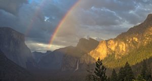
YOSEMITE – Yosemite Valley will open to all vehicles and visitors at noon today, say park officials. Yosemite Valley has been closed to the public since Friday due to anticipated impacts to roads and infrastructure from high water. Water levels in the Merced River crested at 13.73 feet at Pohono Bridge, which is approximately 4 feet over flood stage. Park ...
Read More »Search Results for: flood
Hiking from Savage’s Trading Post up the Hite Cove Trail
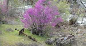
Wildflowers are putting on a show in the Hite Cove area right now. Redbuds were in their prime and the poppies were looking mighty pretty, along with all other kinds and colors of flowers. And those Sierra Newts were out and about. Where: Sierra National Forest Distance: 9.24 Miles Difficulty: Easy to Moderate Elevation Range: 1,400′ – 1,694′ Date: April ...
Read More »Yosemite Cancels Some Campsite Reservations Ahead Of Storm
YOSEMITE – Yosemite National Park expects significant impacts from a storm coming in from the Pacific. Storm activity is expected to impact Yosemite National Park and the surrounding area on Friday, Apr. 6 through Sunday, Apr. 8. Park roadways, campgrounds, and other facilities may be impacted. Reservations for campsites at North Pines Campground, and some campsites at Lower Pines Campground, ...
Read More »Sheriff Upgrades Equipment And Technology To Better Serve
OAKHURST – The Madera County Sheriff’s Office says they have made great strides toward assuring that deputies have everything they need to provide the best service possible. Over the past three years, Sheriff Jay Varney has implemented several major upgrades, which were outlined by Commander Tyson Pogue to the Board of Supervisors at their “on the road” meeting in Oakhurst ...
Read More »Work Continues On Damaged Roads In Mariposa County
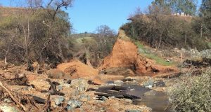
MARIPOSA COUNTY — Caltrans District 10 continues to work on the washout on Highway 132, and the CHP reports nearly two-dozen roads closed or affected by the massive rain event a week ago. Floodwater sliced through State Route 132 in northern Mariposa County, during the recent violent storms, creating a 50-foot gap between the two stretches of roadway. The gaping ...
Read More »Madera County Sheriff’s Local Log Through Mar. 25
MADERA COUNTY– Following are details from the Madera County Sheriff’s Office of reports taken locally from Monday, Mar. 19 to Sunday, Mar. 25, 2018. Coarsegold public intoxication On Monday, Mar. 19 at 12:38 a.m. a deputy responded to the 46500 block of Lucky Lane regarding a subject who was highly intoxicated and causing a disturbance at the business. This subject ...
Read More »Update On Conditions In Mariposa County After Storm
MARIPOSA – Mariposa County Sheriff Doug Binnewies has issued the following information for storm-impacted communities across the county. We have resources in, and responding to impacted areas and communities. Prioritizing life safety, then ingress and egress to your homes. Also we are utilizing aircraft so please don’t be alarmed of low flying helicopters, etc. We have stationed Sheriff’s Office staff ...
Read More »Coarsegold 4H Report: Favorite Foods Day — Hit Or Miss?
Submitted by Keiana Cramblett — COARSEGOLD — This month’s article is about one of the upcoming events in our 4H, Favorite Foods Day on January 20th, 2018 at Minarets High School. Favorite foods day is a competition where a 4-H member cooks anything they want and take it to compete against other members in the same category. The categories include ...
Read More »North Fork Rancheria Hosts Workshops On Hazard Mitigation Plan
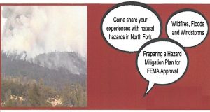
NORTH FORK — The North Fork Rancheria of Mono Indians invites the community to participate as they develop a Tribal Hazard Mitigation Plan for approval by the Federal Emergency Management Agency (FEMA). First and foremost, the mitigation plan will serve as an essential strategy for reducing current and future risks from natural hazards such as wildfire, flooding and windstorms, thereby ...
Read More »Hiking up the 4 Mile Trail to Glacier Point & Sentinel Dome
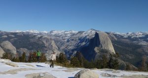
The 4 Mile Trail led me from the Yosemite Valley floor where the old Leidig Hotel stood in 1870 up to Glacier Point and Sentinel Dome, full of wonderful views of Yosemite Falls and the snowy high country. Where: Yosemite National Park Distance: 12.8 Miles Difficulty: Moderate to Strenuous Elevation Range: 3,979′ – 8,107′ Date: November 29, 2017 Maps: El ...
Read More »
