They call this hike the Twenty Lakes Basin Hike and my dog Sally and I visited 13 of them on this day. And yes, I am counting every little tarn and separate little inlet as lakes but there are even more that you could cover in this hike if you tried and if you do the hike in early spring, there are too many seasonal tarns than I can count!
Where: Hoover Wilderness
Distance: 8.94 Miles
Difficulty: Moderate
Elevation Range: 10,064′ – 10,360′
Date: September 25, 2018
Maps: Falls Ridge and June Lake Topogs
Dog Hike? Yes
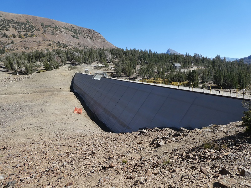
I love the Saddlebag Lake area and just got back from camping for a week up there. To get to Saddlebag Lake, I exited the east entrance to Yosemite National Park at Tioga Pass, then drove east on Hwy 120 about 2 miles to Saddlebag Road. Heading up the mostly dirt road to Saddlebag Lake, I stayed at the Saddlebag Lake Campground in the Inyo National Forest above the resort. If you are daytripping it, there is parking at the resort or at the adjacent backpacker parking lot.
There is a trail on either side of the lake that you can take for this hike and I decided to do this hike counter clockwise on this day. You may have heard of a water taxi that you could take to cut off some of those hiking miles, but it has not run for a couple of years now and is sorely missed by many.
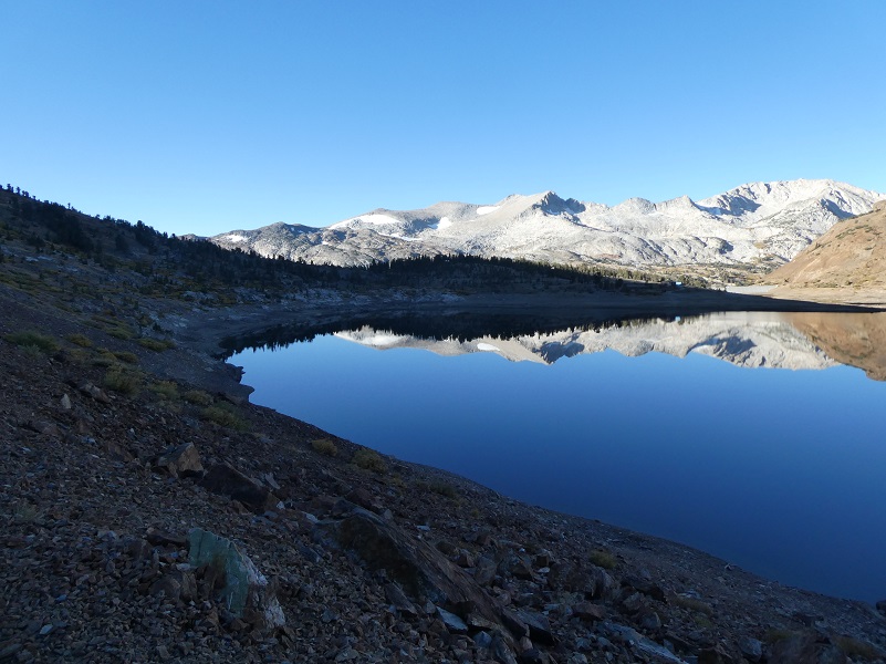
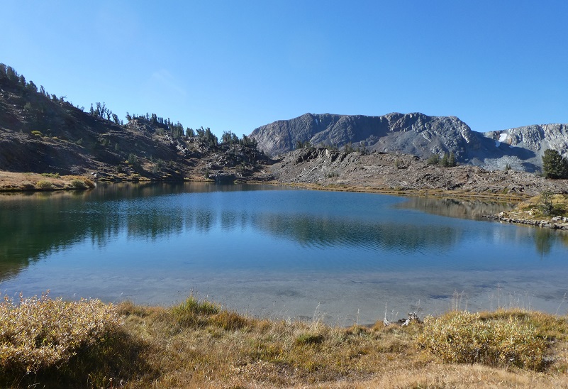
There was a bit of frost on the ground when I headed out from my campsite at Saddlebag Lake Campground and the trail led me along the south, then east side of Saddlebag Lake (10,066′ elevation), the air was perfectly calm and the lake was like glass. How could I not stop and admire the reflections?

 I reached the Wilderness Ranger Station on the north side of the lake. Did you know that this building used to be one of the living quarters for the Hess Mine on the north side of Steelhead Lake? The windows and siding from two of the mine buildings were also incorporated into the Saddlebag Lake Resort storage building. The Hess Mine was primarily a tungsten mine, owned by Gus Hess. Scheelite deposits were explored at the Hess Mine in the 1940s and the only reports that I could find on production were that is was small. I wrote a blog on this mine with more history and pictures back in 2015 and if you are interested in reading more about it, you can find it here.
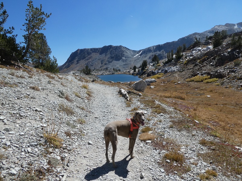
Sally and I headed north up the trail and into the Hoover Wilderness which covers 48,601 acres and was originally designated as a Primitive Area by the Forest Service in 1931. It was named in honor of President Herbert Hoover. In 1956, it was designated as a Wild Area and became a Wilderness Area when the 1964 Wilderness Act was passed. Did you know that The Hoover Wilderness was the setting of Camping Adventure, a children’s book published in 1976 by the National Geographic Society as part of its “Books for Young Explorers” series?

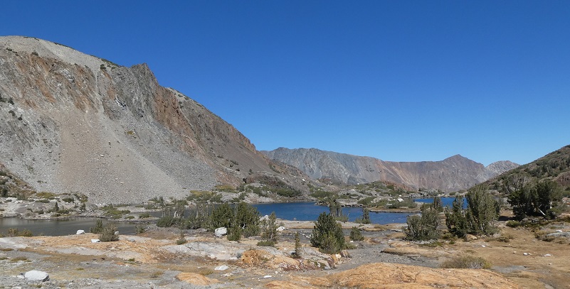
We passed by a couple of beautiful little tarns that were still full of water and reflections.
The grasses had long turned brown, the willows were wearing their yellow fall color and there were a few splashes of red to be found.
I took a very short detour over to Hummingbird Lake (10,240′ elevation). Z Lake (10,456′ elevation) is east and cross country but we didn’t stop by on this hike.
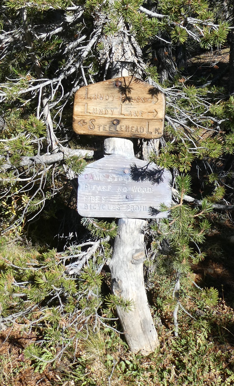
When I reached Lundy Pass (10,360′ elevation), I took a look back to the direction that I had traveled.

The next lake is O’Dell Lake (10,280′ elevation). Twin Lakes (10,421′ elevation) are just a short distance cross country up the hill but I didn’t visit them on this hike.

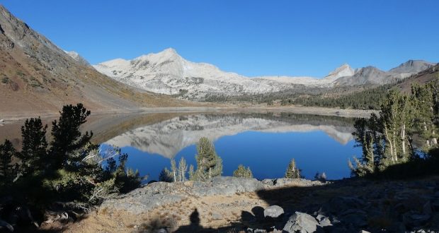
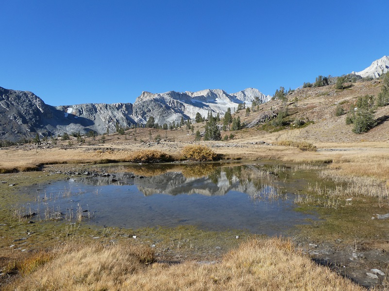
As I topped over the high point of the trail at O’Dell Lake, I could see Lake Helen in front of me.
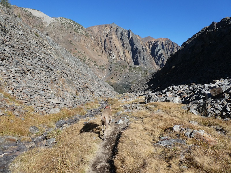

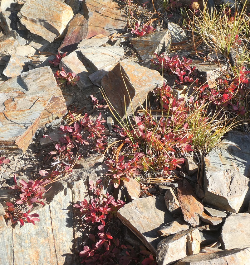
As I headed down the rocky trail, I checked out the columbine, which blooms for a short time in this area. It had finished its showy blooms and was ready to share the seeds to help propagate more plants.
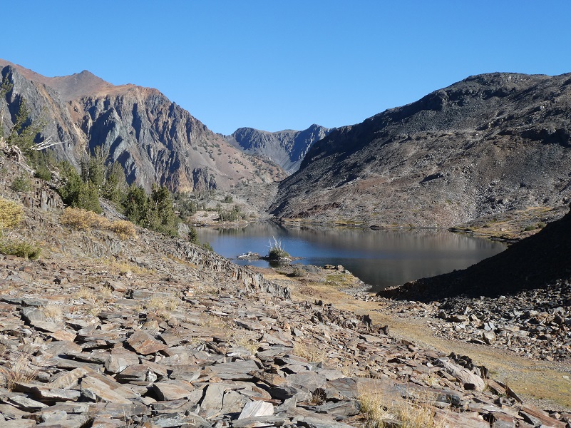
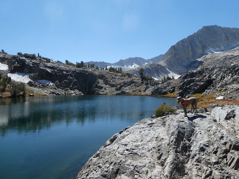
Lake Helen (10,120′ elevation) is a pretty little lake with a beautiful waterfall.
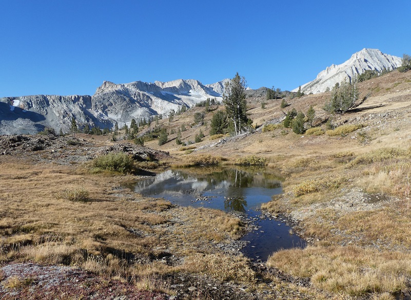
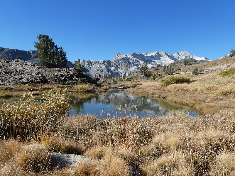
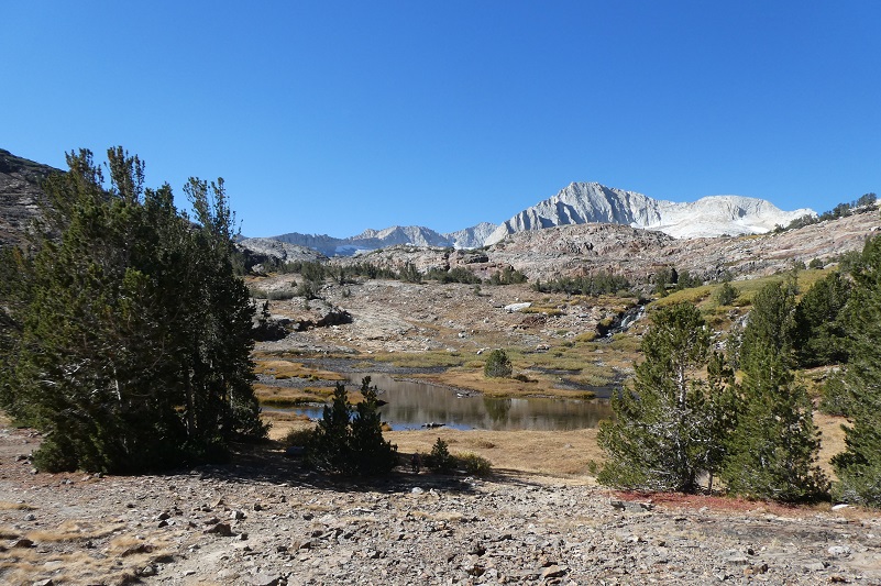
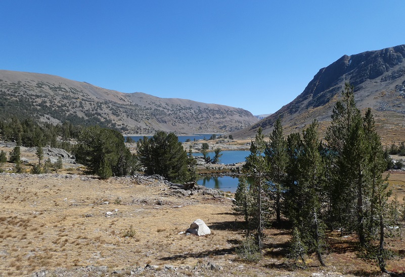
We passed along an area where the small stream widened out to create a shallow unnamed lake then followed up along that stream.
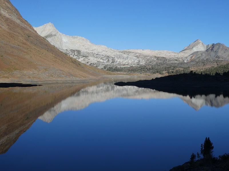
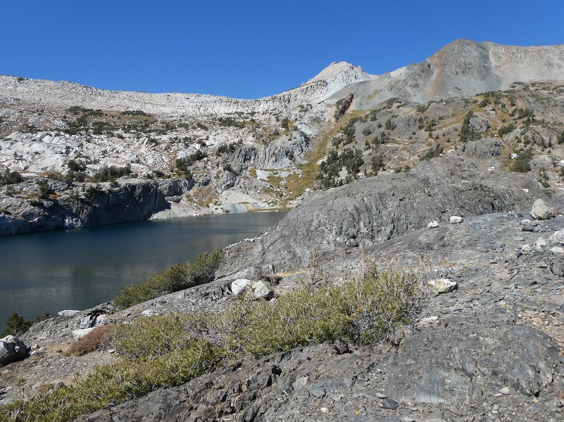
Shamrock Lake (10,266′ elevation) is my favorite of these lakes and I like to get off the trail which follows along the north side to check out the many nooks and crannies along the bank.
Sally and I headed cross country to the south side and my secret fishing spot. I don’t know if it was the full moon or my poor fishing luck, but we only brought home one 8 inch brook trout. I usually do better than that.

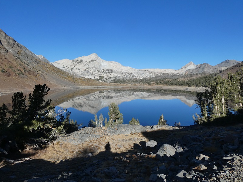
I decided to not get back on the trail but cross country over to Steelhead Lake and as I climbed up the rocks, I looked back to try and capture a picture of Shamrock Lake.
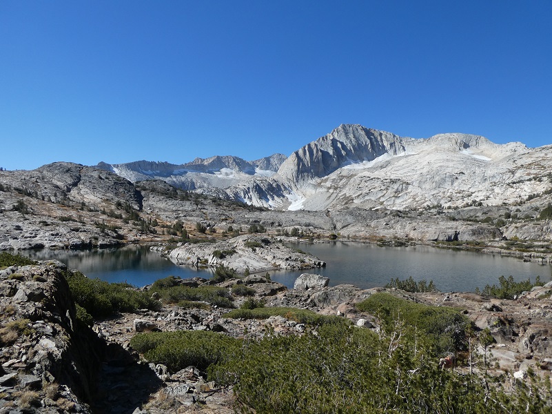
Sally and I passed by a pretty good sized unnamed lake.
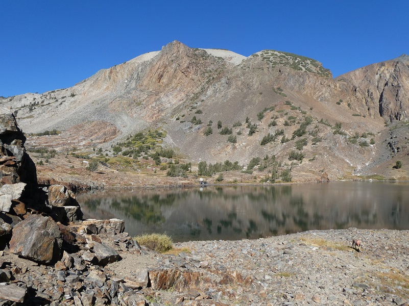
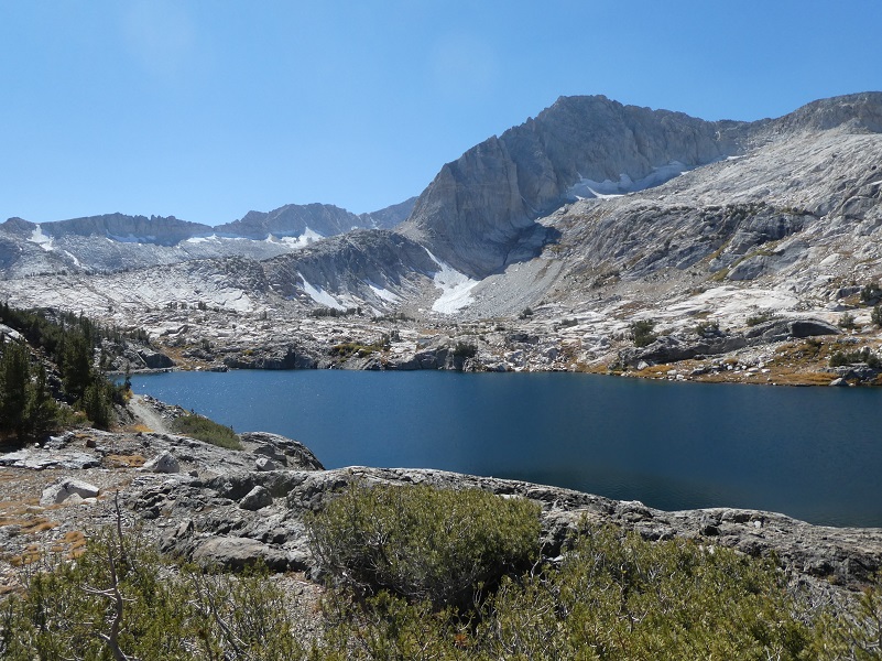
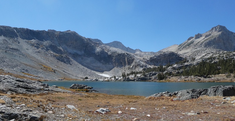
We reached Steelhead Lake (10,279′ elevation) and got back on the trail, which is really an old mining road related to the Hess Mine. In the next photo, you can spot the Hess Mine with its tailings at the upper end of the lake and slightly to the left.
That old mining road led us along the east side of the lake.
Wasco Lake (10,320′ elevation) was straight ahead after a small tarn and we kept on the trail, kind of bypassing it.
We could spot Greenstone and Saddlebag Lakes ahead of us but we had a little bit to go before we reached them.
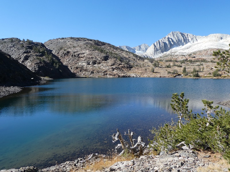
Leaving the trail at Greenstone Lake (10,144′ elevation), I walked along its eastern shores to try and capture a good picture. The waters of this lake can have a greenish cast to it, thus the name, and if the wind isn’t blowing, it can reflect the surrounding high peaks such as Mt. Conness.
I crossed the outlet of Greenstone Lake, not as easy as it sounds. I decided to cross at a narrow part of the creek covered with willows and miscalculated just one tiny step, finding me standing in the middle of that creek up to my mid-thigh but I jumped out really quick. I didn’t have far to go to get back to camp and would just have to live with wet socks and boots for a while. Sally leaped the creek in a single bound, then looked back at me. I’m not sure if she was thinking ” Wow, she sure crossed that creek quick.” Or maybe she was laughing at me. Maybe I am wrong about that last one.
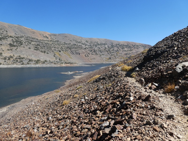
To make this hike a loop, I continued back on the trail on the west side of Saddlebag Lake. This trail is rocky and tough on a dog’s feet. I usually prefer to stick to that eastern side but I had an ulterior motive for going this way, besides making the hike a true loop.
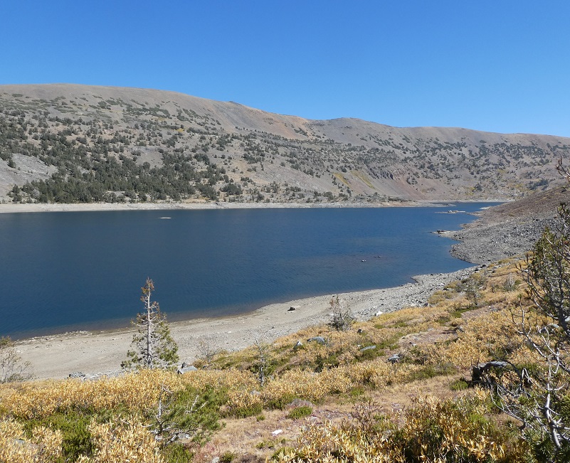
Saddlebag Lake was being drained while I was there and each day revealed a dramatically lower lake. I wanted to get a close look and wondered if I could spot the older dam structure but the mud covered that well. After I got home, I contacted Southern California Edison (SCE) for the reason for the draining of the lake. There were rumors of a leak and they confirmed that they had discovered leakage. I wrote up a short article about it with SCE’s statement and you can read it here.
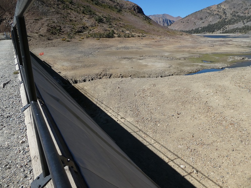
The day I left, I took a last look at an even lower Saddlebag Lake, full of reflections, now lowered to the area where the saddlebags come together.

Dog Hike?
This hike can be a good dog hike if your dog is up to it. The rocky terrain is very rough on a dog’s feet and I packed Sally’s boots just in case she got a sore spot on her paw or sliced her foot on one of those sharp rocks. Even if you think your dog’s feet are toughened up enough for this hike, you can have surprises so please be prepared. Sally hiked for 6 days on this trip and I alternated easy days and longer days with her hiking. By the 4th day, one of her feet was a little worn so I made her wear her boot on one of her front feet and we took it easy on our remaining camping days.This is a good hike for Sally. It is above tree line so I can keep a good eye on her and let her run a little. There aren’t any rattlesnakes or poison oak and there is plenty of good, fresh drinking water for her all along the way. That means I don’t have to pack her water and that is a good thing! Sally has never had any problems drinking the water out of these higher elevations but some dogs may not be as easy as Sally on this issue. I think you need to know your dog and you may need to carry some water for them. This area also has bubonic plague and if you dog gets a hold of a critter such as a squirrel or mouse, this could be something to watch for after a trip in this area.
Here is some information from Inyo National Forest regarding their dog rules:
Traditionally, National Forests have welcomed dogs. However there are a few rules that apply to assure that you and other National Forest visitors have an enjoyable outdoor recreation experience. If you are camping with your pet, please practice the following:
- Leave vicious or unusually noisy dogs at home.
- During the day keep your dog on a leash no more than 6 feet long, or otherwise restrict its freedom to roam at will.
- At night keep your dogs and other pets inside an enclosed vehicle or in a tent.
- Developed campgrounds are for people, not animals. Please do not bring more than two dogs or other pet to any one campsite.
General rules for dogs within the Inyo National Forest:
- Dogs are allowed for trips staying in the National Forest. Pet food must be stored the same as required for your food.
- Dogs are prohibited, as are any other pets, on trips visiting the wilderness of Yosemite, Sequoia and Kings Canyon National Parks.
- Pets need to be on leash or under verbal command. Do not allow pets to chase or harass wildlife.
Map, Profile and Doarama:
Twenty Lakes Basin Loop Doarama
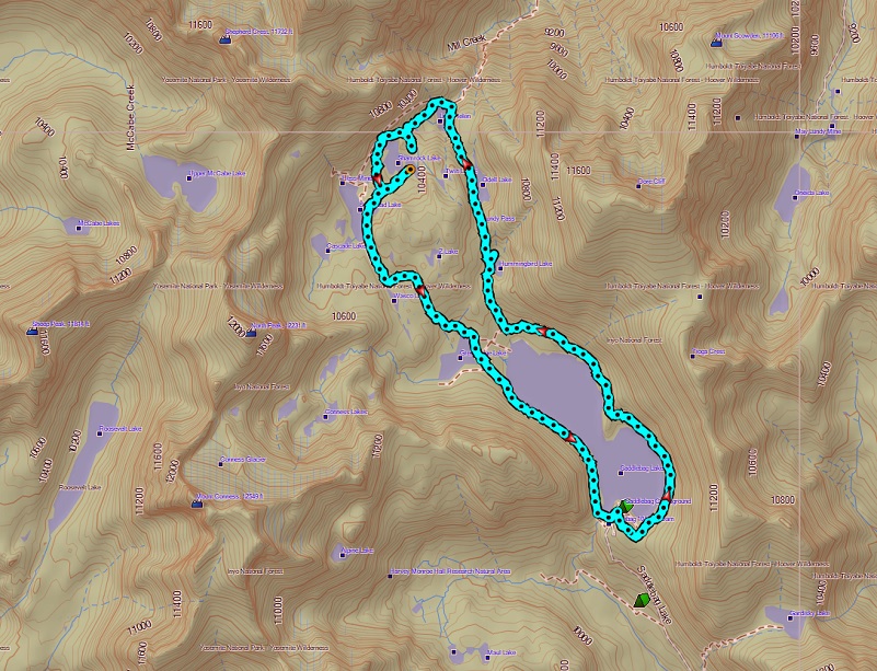
Twenty Lakes Basin Loop Topographic Map
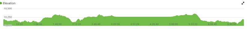
Twenty Lakes Basin Loop Profile
Sources:
Inyo National Forest Policies and Rules
Inyo National Forest Hiking and Camping with Dogs
Prior Blogs in the Area:
Camping and Fishing with Sally at Saddlebag Lake August 17, 2017
Hiking with Sally from Saddlebag Lake through Twenty Lakes Basin August 15, 2017
Hiking with Sally in the 20 Lakes Basin July 12, 2016
Hiking with Sally up to the Hess Mine in the Tioga Pass Area October 26 2016
Hiking with Sally on the 20 Lakes Basin Loop August 22, 2013


Sounds like a wonderful hike! May I ask what range of temperatures was encountered?
Thank you for you question and I didn’t capture temperatures that day but based on the small amount at ice and frost at the beginning, I would guess that I started out around 31 degrees and probably warmed up to 60 degrees in the afternoon. Of course this can dramatically vary any day, plus they get some good winds up there and with that wind chill, can really make it feel chilly. No winds on our hike day though!