Reflections of snow streaked mountains in seasonal tarns called us to the 20 Lakes Basin in the Hoover Wilderness. What a wonderful surprise to see so many wildflowers in bloom, especially those graceful columbine.
Where: Hoover Wilderness
Distance: 9.35 Miles
Difficulty: Moderate
Elevation Range: 10,057′ – 10,407′
Date: July 12, 2016
Maps: Falls Ridge and June Lake Topogs
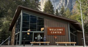
I just love the Saddlebag Lake area and just got back from camping for a week up there. To get to Saddlebag Lake, I exited the east entrance to Yosemite National Park at Tioga Pass, then drove east on Hwy 120 about 2 miles to Saddlebag Road. Heading up the mostly dirt road to Saddlebag Lake, I stayed at the Saddlebag Lake Campground in the Inyo National Forest above the resort. If you are daytripping it, there is parking at the resort or at the adjacent backpacker parking lot. My hiking buddy Gail came up for our day hike to 20 Lakes Basin.
There is a trail on either side of the lake that you can take for this hike or you can take the water taxi across the lake to cut off about 1.5 miles of the distance. Dogs are welcome on the water taxi operated by the Saddlebag Lake Resort and information on the rates can be found at a link at the bottom of this Blog. We decided to walk along the lake, heading up on the east side of the lake. Morning reflections on Saddlebag Lake are always wonderful.
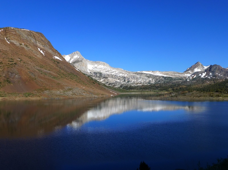
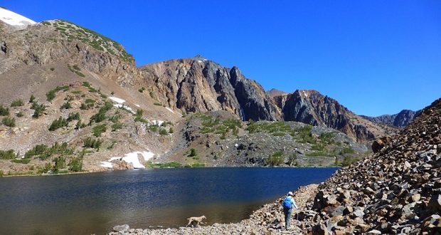
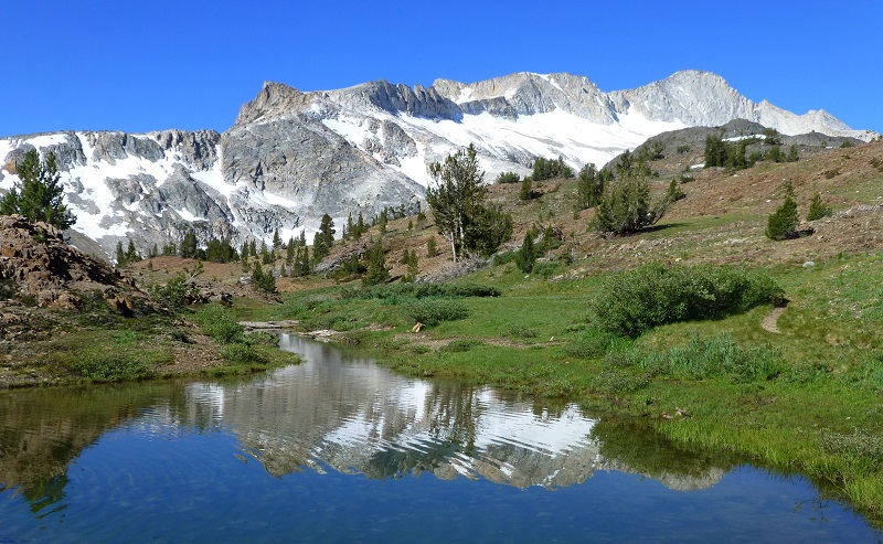
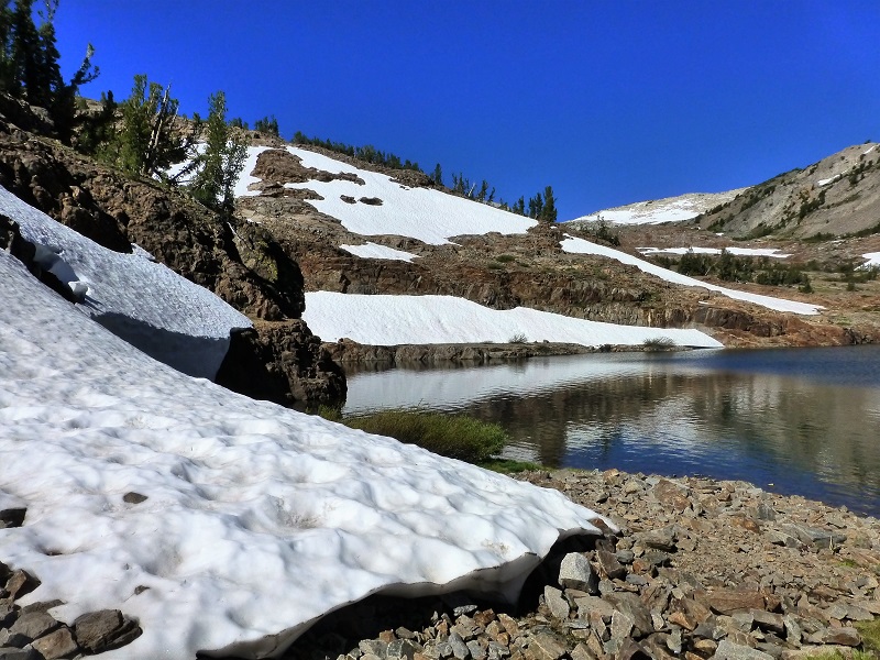
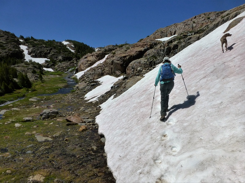
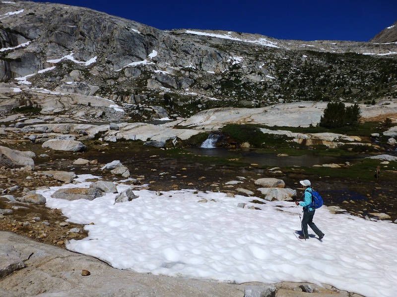
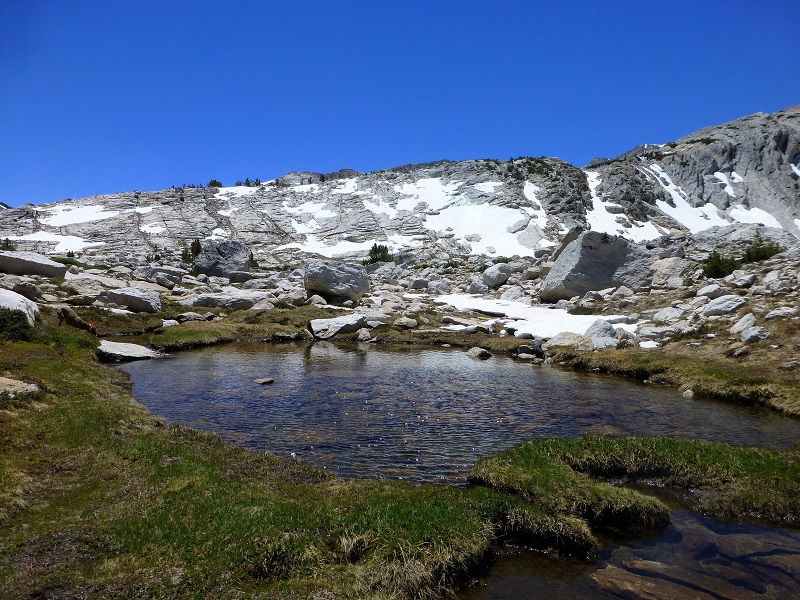
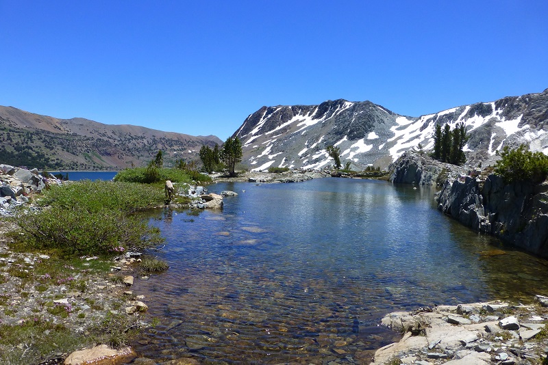
Once we got above Saddlebag Lake, we came across our first tarn, full of reflections from North Peak. These tarns are seasonal, created from snow melt and rain runoff and won’t be around too long. That is one of the reason they are so special for me to see.
Our first small lake was Hummingbird Lake, which had colorful flowers surrounding it but again, those reflections at the inlet were pretty nice.
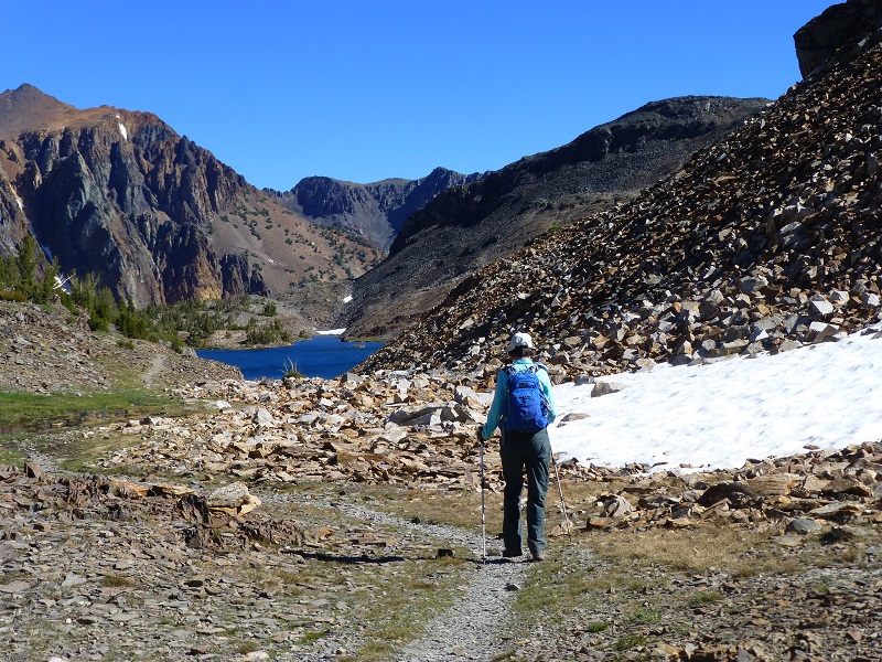
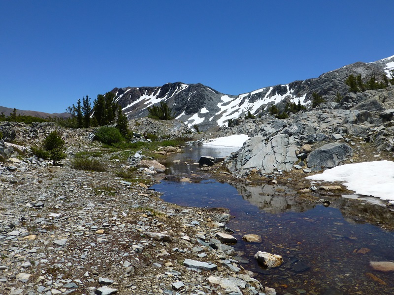
We headed through Lundy Pass to Odell Lake then down a rocky chute along a small creek toward Lake Helen.
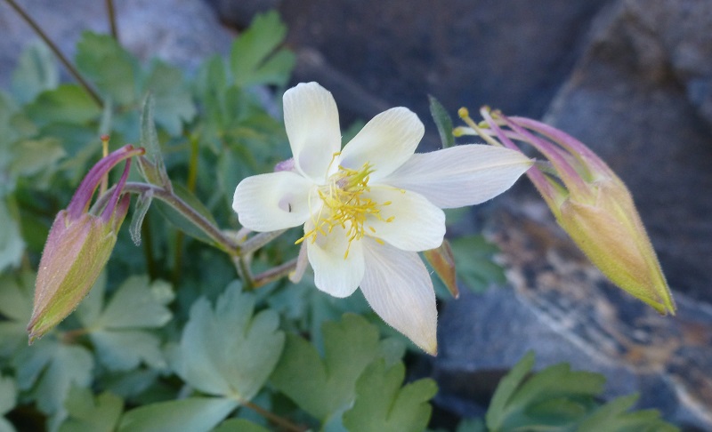
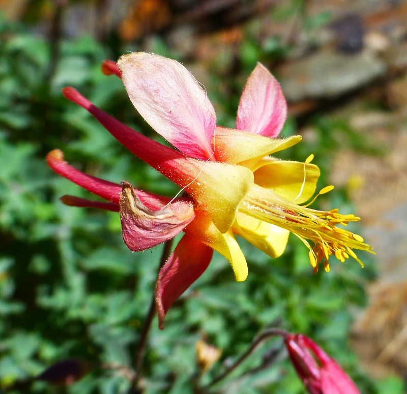
What a surprise when we spotted many columbines in bloom. Their colors ranged from creamy whites with a bit of pink to showy orange with yellows.
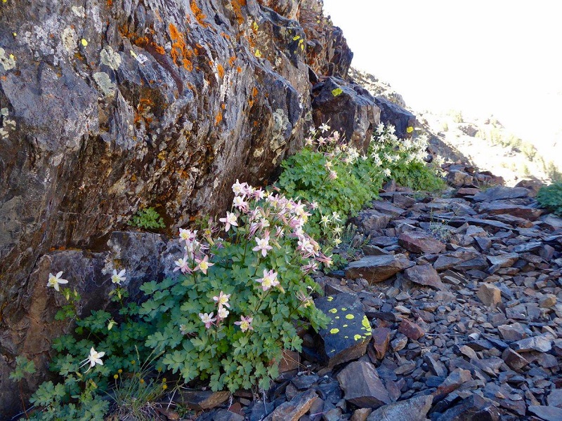
Columbine Lined Trail Down to Lake Helen (Photo by Gail Gilbert)
Of course there were other flowers in bloom such as paintbrush and these mountain astors.
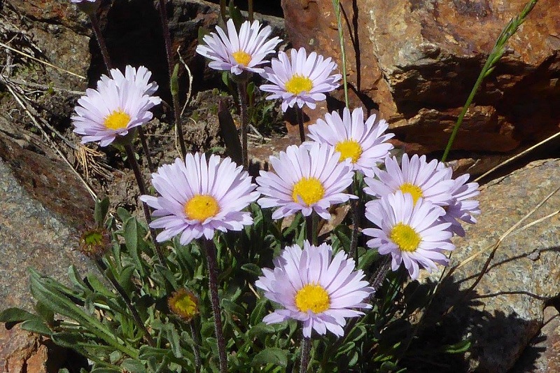
Mountain Astors (Photo by Gail Gilbert)
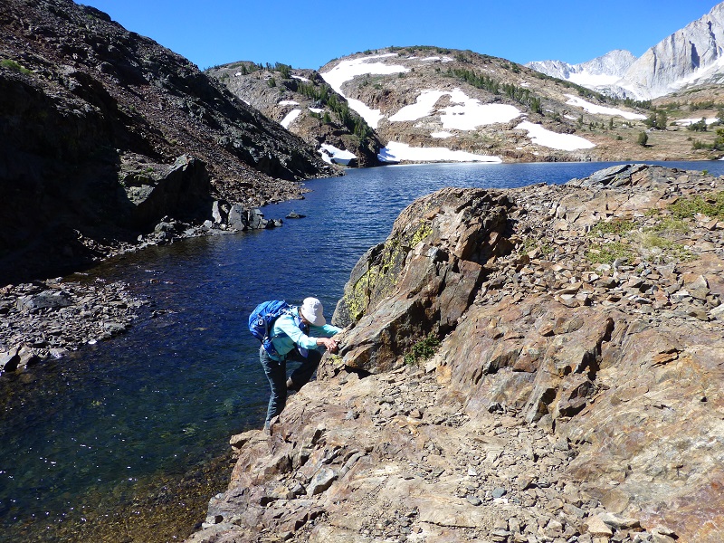
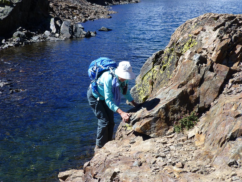
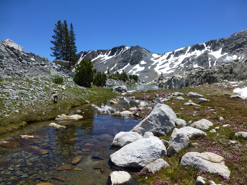
We reached Lake Helen and headed along the shore, crossing the outlet.
We then had a bit of a climb up the rocks, probably about 30 feet or so. We might have been able to go down creek a bit, wade and walk around this rock wall but it wasn’t too difficult the way we went.
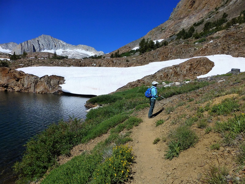
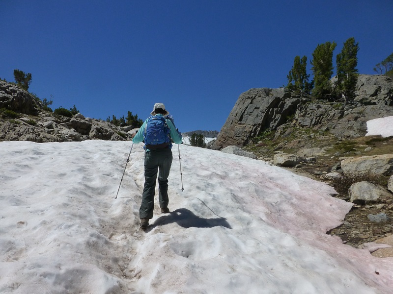
We followed the trail around the lake. Some of the sections of the trail were still covered in snow but it was not very difficult to see where the trail was supposed to go.
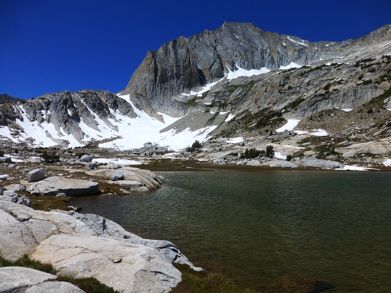
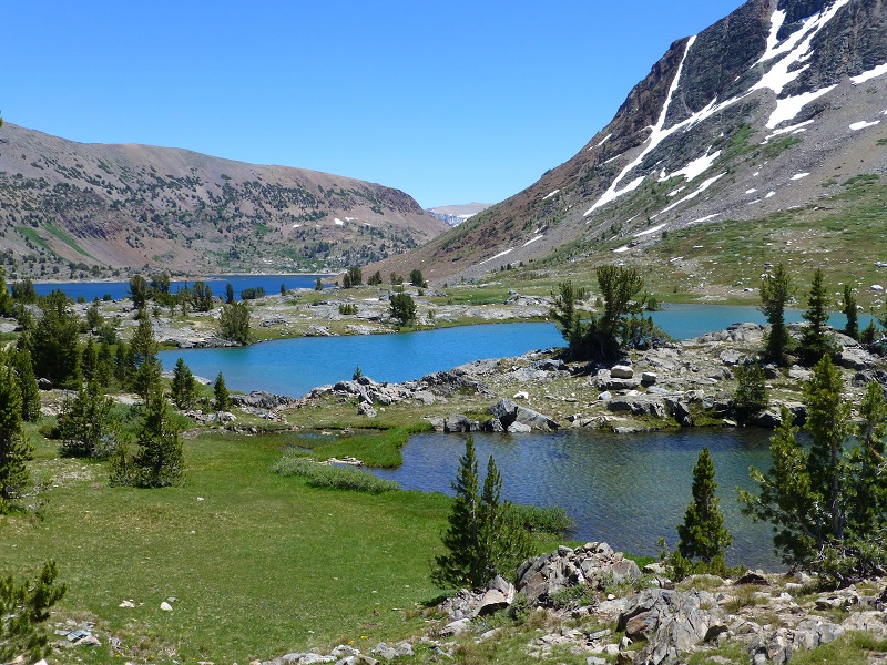
One of our favorite lakes on this hike is Shamrock Lake and it was very pretty on this day.
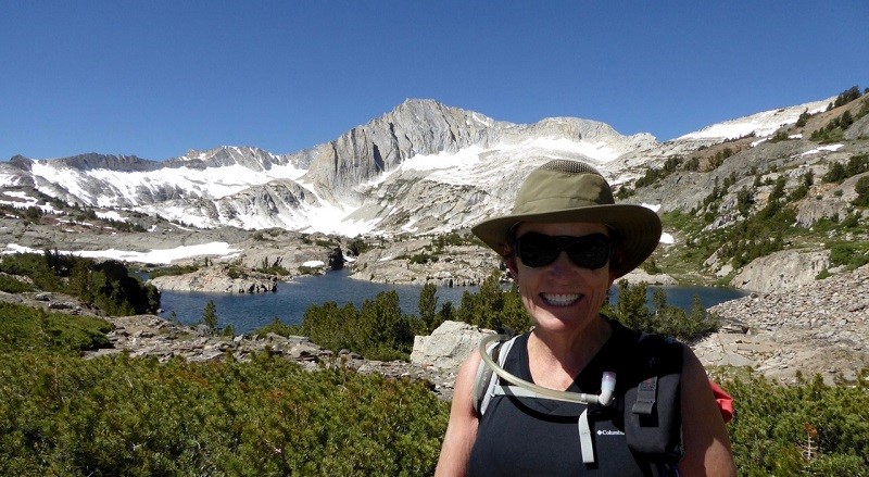
Me at Shamrock Lake (Photo by Gail Gilbert)
We followed the trail along the north side of Shamrock Lake, then along the inlet, which is as wide as a small lake in places.
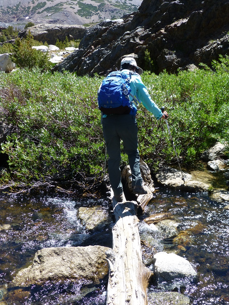
We had a nice log crossing over a small creek.
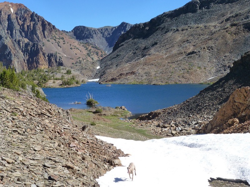
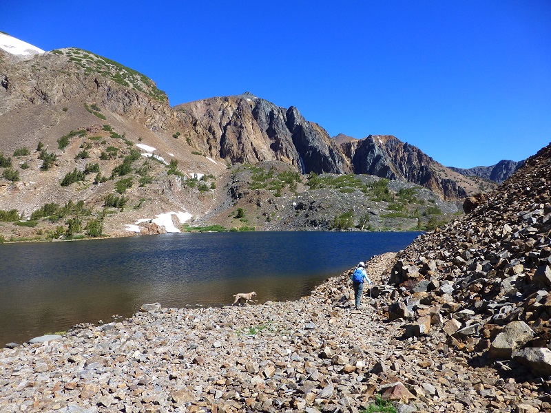
We then reached Steelhead Lake.
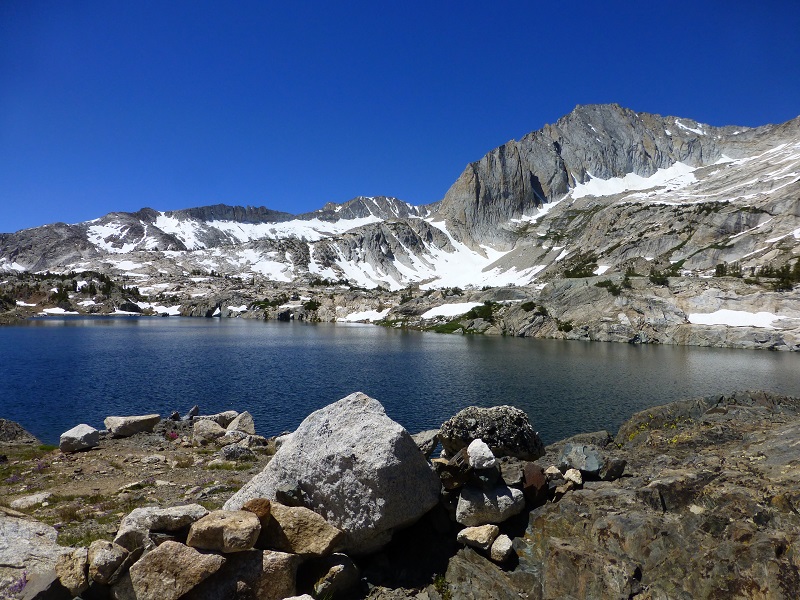
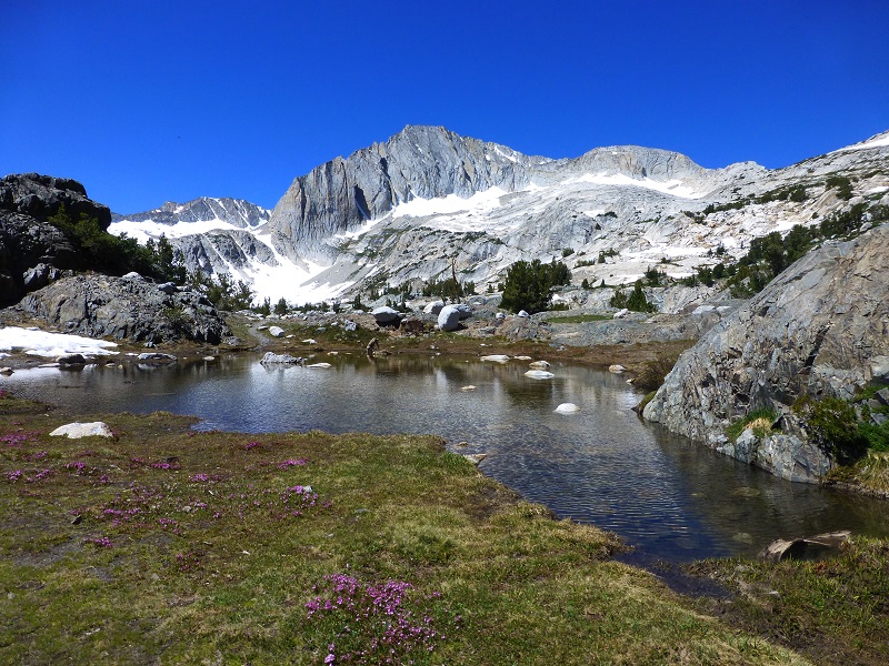
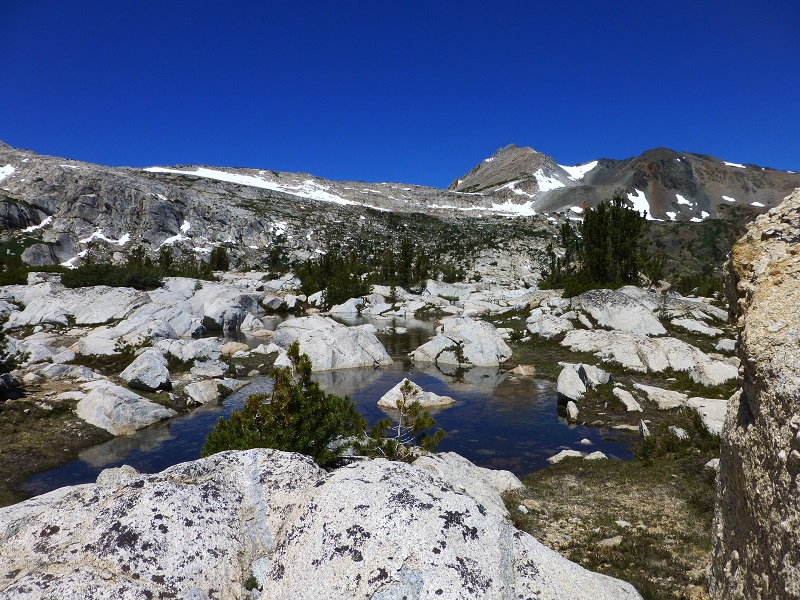
We headed along the east shore of Steelhead Lake, across the outlet, then cross country over to Cascade Lakes. These lakes were unlike any other lakes on this hike, set in granite slab.
We found a good flat rock to stake out for our lunch spot where we had a clear view of North Peak.
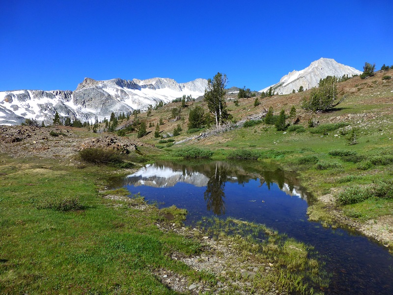
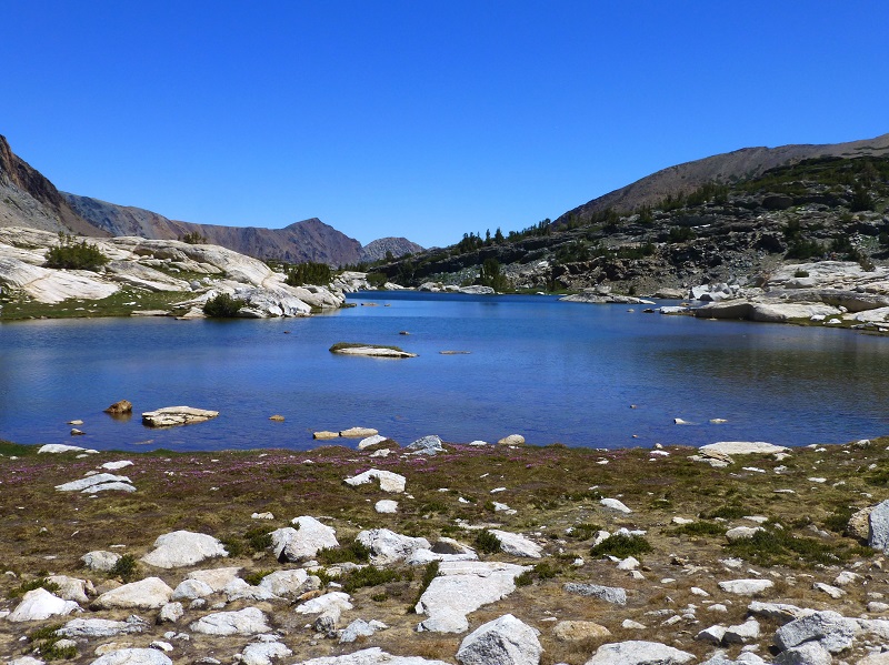
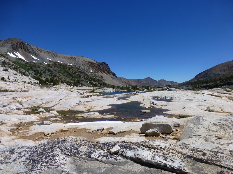
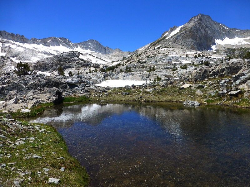
After lunch we went in search of tarns and we found so many we lost count. It always amazes me how unique each one of these are.


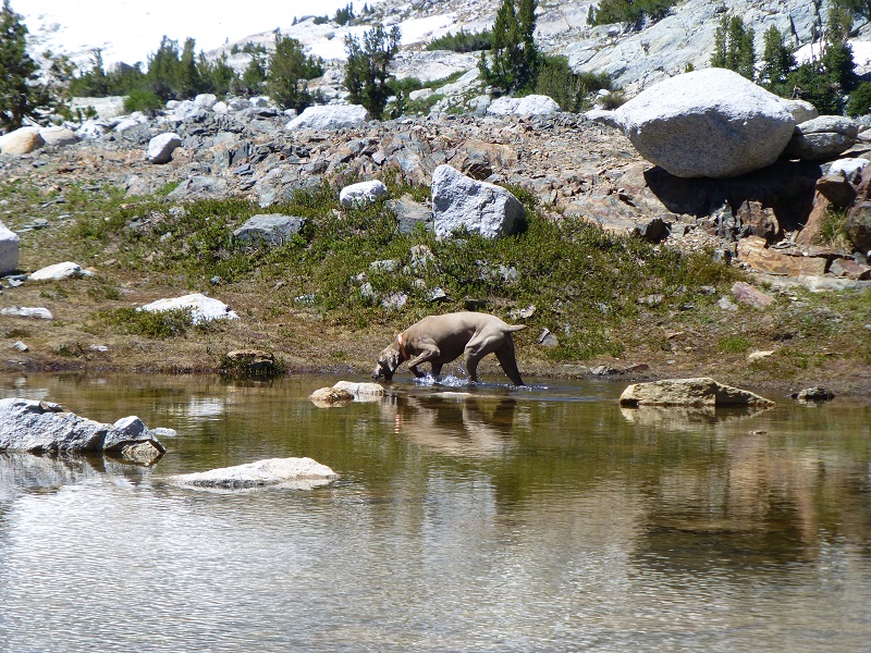
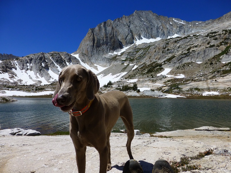
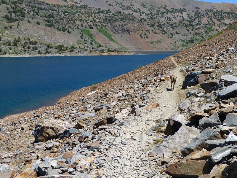
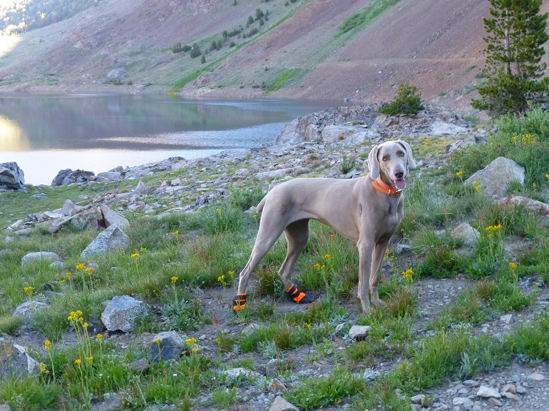
It was time for us to start heading back down and we followed the path along the west side of Saddlebag Lake to make our hike a loop. Sally led the way.
This hike can be a good dog hike if your dog is up to it. The rocky terrain is very rough on a dog’s feet and I packed Sally’s boots just in case she got a sore spot on her paw or sliced her foot on one of those sharp rocks. Even if you think your dog’s feet are toughened up enough for this hike, you can have surprises so please be prepared. The next day, Sally was a bit foot sore and I could see that her paw pads, especially her back feet, were a bit worn in places. I made her wear her boots on her back feet and we took it easy on our remaining camping days.
Maps and Profile:
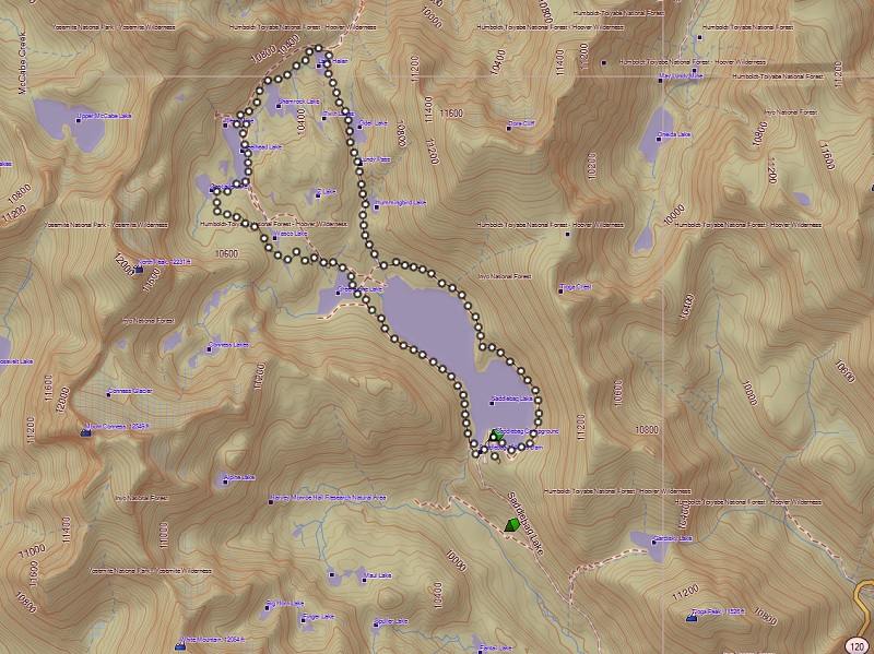
20 Lakes Loop Topographic Map
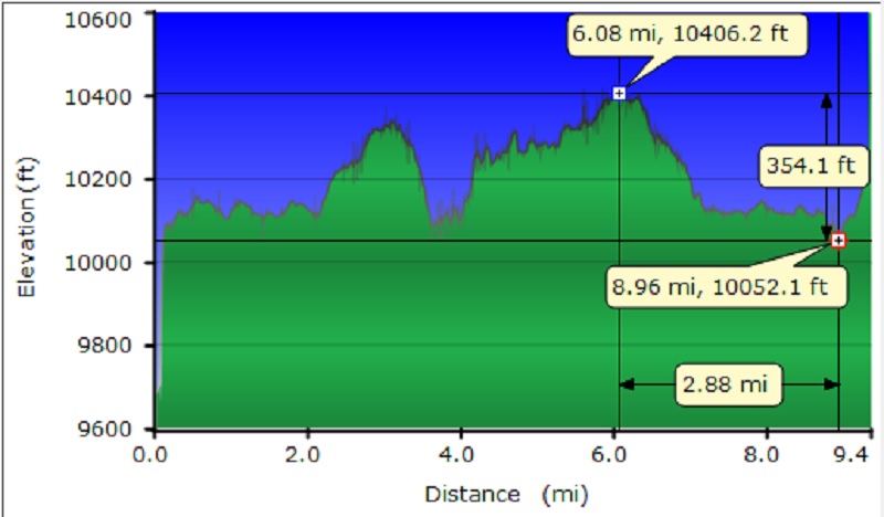
20 Lakes Loop Profile
Sources:
Saddlebag Lake Resort Home Page
Prior Blogs in the Area:
Hiking with Sally up to the Hess Mine in the Tioga Pass Area October 26 2016
Hiking with Sally on the 20 Lakes Basin Loop August 22, 2013