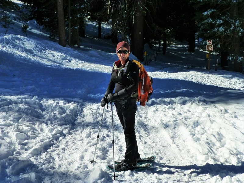
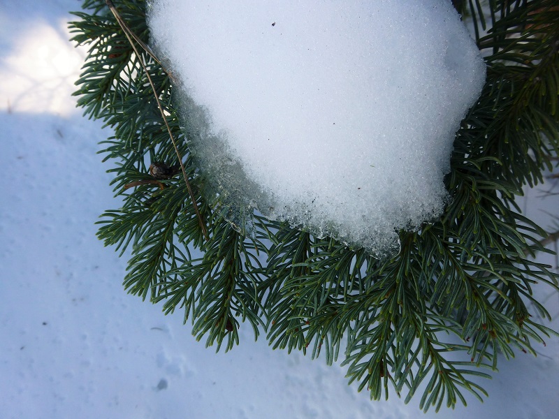
The recent snowfall was inviting us to our first showshoe adventure of the year. Except for the many animal tracks we could see in the snow, we had the place to ourselves.
Where: Tamarack Ridge SNO-PARK, Sierra National Forest
Distance: 4.8 miles
Difficulty: Moderate
Elevational Range: 7,446′ to 7,728′
Date: November 12, 2015
Maps: High Sierra Ranger District Winter Recreation Guide, Dinky Creek Topog
We headed up Hwy 180 to Shaver Lake, stopping by Shaver Lake Sports to pay our $5 for a day permit. We also picked up a free map that is perfect for this area. It is called the High Sierra Ranger District Winter Recreation Guide and has the trails, along with additional information such as trail etiquette, winter travel safety and the type of equipment that you should bring to be prepared for winter recreation in this area. Some of the trails are only for cross country skiing and some are snowmobile trails. There are also areas just for snow play. We really enjoying chatting with the people at Shaver Lake Sports about the snow conditions, hiking and snowshoeing. What a friendly bunch of folks! You can also purchase a season permit for $25 and this money pays for plowing of the SNO-PLAY parking areas and sanitation facilities. There are several areas where you can purchase your permit and the Tamarack link at the bottom gives you that list. Also note that there is a fine of $75 for parking in the SNO Park areas without a permit displayed.
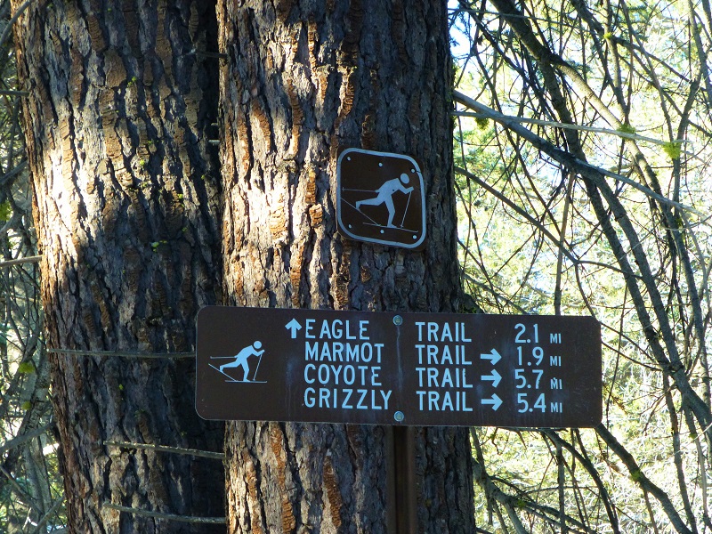
We continued up the road to the SNO-PARK on the left, just after trailhead on the left for the Coyote Loop. We took a few minutes to check the map, then headed out.

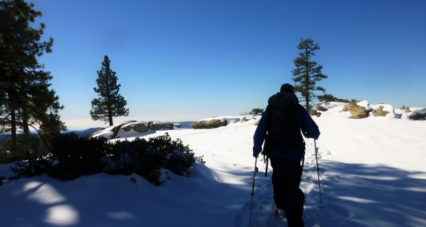
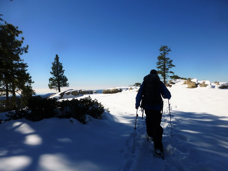
We continued up the well-used trail out of the parking lot, following the signs to the Eagle trail, which a 4WD vehicle had driven up recently for a short distance.
Pretty much all of the snow was gone from the trees but some still lingered in the shady spots. We could make out animal tracks such as coyote, deer and perhaps a bobcat in the snow. On our way back, we could clearly see coyote tracks over our snowshoe tracks from the morning. We sure didn’t see these critters but I’m sure they were watching us.
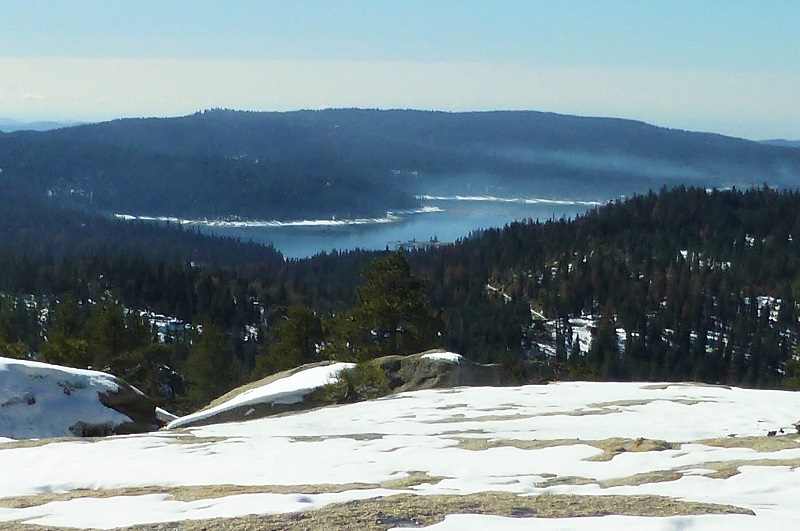
As we started to top out at the Shaver Lake Vista, we could finally get a peek at the lake.
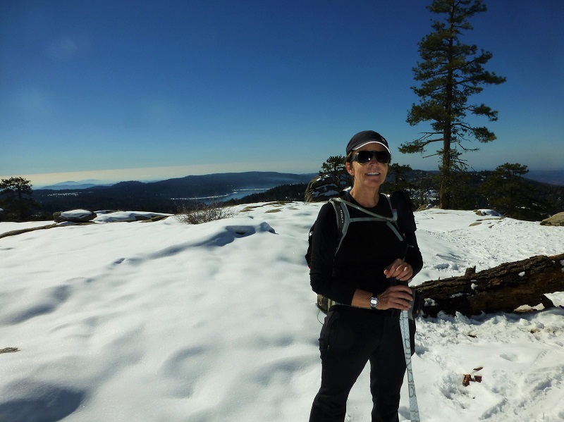
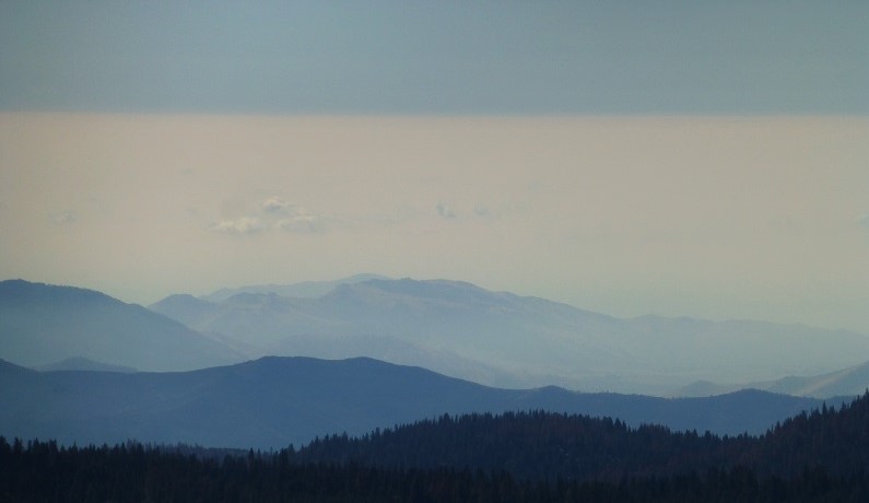
Even though it was a bit early, it looked like a great spot to eat our lunch. We could see the snow lining the shores of Shaver Lake. The lifting fog in the valley created beautiful layers of sky and hazy mountains. It was nature’s watercolor.
We headed back, going a bit off trail where we had seen some areas that could have had a view. They didn’t pan out though. We deviated from our way up by taking the Coyote Trail back. No one had broken trail yet and the snow was wonderful. The snow depth ranged from a foot or so in the higher and unused areas to a coupe of inches with small patches of dirt on the well used parts of the trail.

I could not believe that we had the place completely to ourselves. Back at the parking lot, we met a cross country skier and a couple of cars came in. It is amazing that on a weekday, people weren’t enjoying this snow and nice weather.
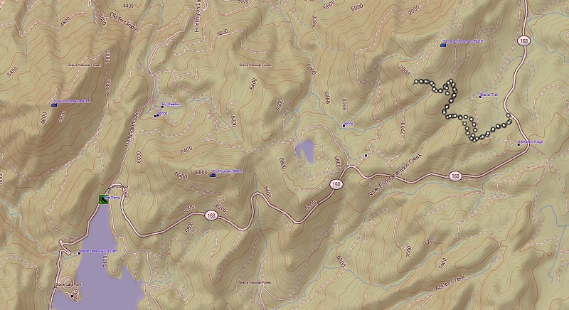
Coyote Loop Snowshoe Topog

Coyote Loop Snowshoe Profile by Distance
Prior Blogs in this Area:
Tamarack Ridge Snowshoe Hike March 8, 2014
Sources:


