MOUNTAIN COMMUNITIES — The High Sierra Ranger District announces the arrival of continued prescribed burning conditions. The prescribed fire work is a proactive approach to fire and vegetation (fuels) management in the SNF and Sierra Nevada.
![]() SNF Fire managers expect to begin Prescribed Fire ignitions in the week of February 14th-18th. Active ignitions may continue through the weekend and into next week, as weather, smoke dispersion impacts, and fire consumption conditions allow.
SNF Fire managers expect to begin Prescribed Fire ignitions in the week of February 14th-18th. Active ignitions may continue through the weekend and into next week, as weather, smoke dispersion impacts, and fire consumption conditions allow.
![]() The U.S. Forest Service coordinates all burning activities with the San Joaquin Valley Air Pollution Control District and National Weather Service in Hanford to time the project to coincide with favorable weather conditions and smoke dispersion. For information on smoke impacts and how to mitigate exposure please visit www.airnow.gov or www.valleyair.org.
The U.S. Forest Service coordinates all burning activities with the San Joaquin Valley Air Pollution Control District and National Weather Service in Hanford to time the project to coincide with favorable weather conditions and smoke dispersion. For information on smoke impacts and how to mitigate exposure please visit www.airnow.gov or www.valleyair.org.
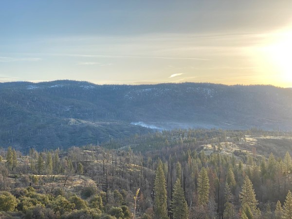
Day Two Morning Overview.
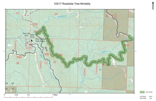
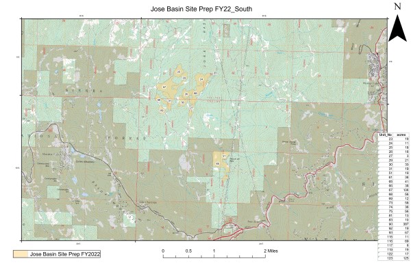
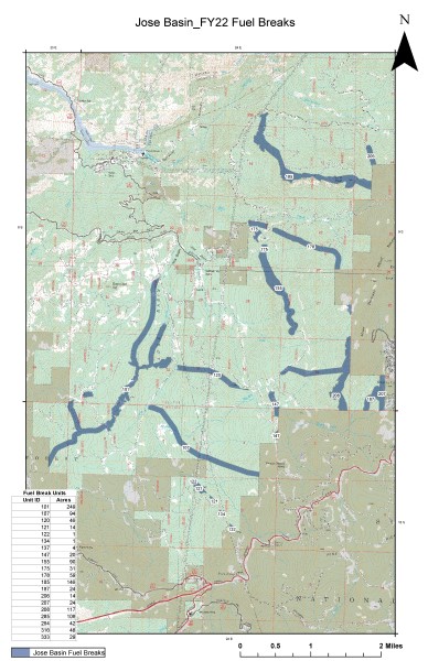
Please see the maps below for general locations. Fire resources will be working in the Blue Canyon, and Jose Basin vicinities. The specific areas are being targeted for burning to meet reforestation operations later in the Spring.
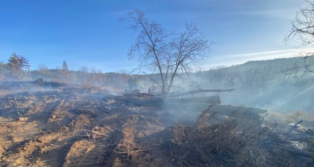
Most of the prescribed fire units were partially or fully impacted by the 2020 Creek Fire incident. Winter fine vegetation green up (new grasses) is providing good conditions to begin prescribed fire ignitions and control activities.
Burning operations will be visible from portions of Highway 168, Auberry Road, Peterson Road, and Dinkey Creek Road, as well as other major roadways throughout the district.

Day Two Burndown.
Smoke may also be visible from various vantage points in the Foothill and Mountain communities in Fresno County, North Fork, and Bass Lake in Madera County and the greater Fresno/Clovis/Madera region.
The prescribed fire projects will be patrolled and monitored daily during the project required multi-day burn phase, and while all signs of smoke and heat dissipate.
Information signs are and will be placed strategically in the areas of these projects to inform the visiting public of these operations for public and firefighter safety. For more information on these prescribed fire projects and activity please contact the High Sierra Ranger District Office at 559-588-5355.
Maps & PDFs
Roadside Tree Mortality Map (PDF)
Jose Basin Site FY22 South Map (PDF)
Jose Basin FY22 Fuel Breaks (PDF)