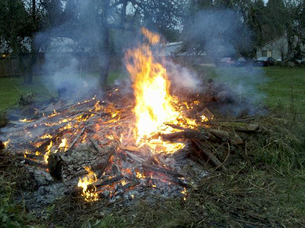
MADERA COUNTY – With so much fuel outside to burn and so little time to burn it, some may be wondering precisely how burn days are determined.
Madera County 5th District Supervisor Tom Wheeler is the 2015 Chairman for the San Joaquin Valley Air Quality Control District (Valley Air District), said to be the strictest agency of its kind in the state, and top among leaders in the field nationally.
Supervisor Wheeler says the Air District is of vital importance for hazard burn reduction, and works closely with different stakeholders including counties, fire agencies and the public. Part of their mission is to ensure that Hazard Burn reduction happens in a way that doesn’t impact air quality.
In order to get a precise understanding of how burn days are determined for hazard fuel reduction, the Supervisor’s office suggested Jaime Holt for answers; she’s the Chief Communications Officer for the Valley Air District.
 “The Burn Day status is determined by identifying specific types of meteorological conditions within defined areas,” Holt explains.
“The conditions include characteristics that would enable smoke to adequately lift and disperse, then comparing those conditions/characteristics with the applicable meteorological standards stipulated in Title 17 of the State of California Code of Regulations (CCR).”
Wind speeds and wind dispersion are among the conditions necessary to move the smoke out of the areas so it won’t pose a health hazard. Ultimately to-burn-or-not-to-burn is a data-driven formula analyzed and interpreted by pros.
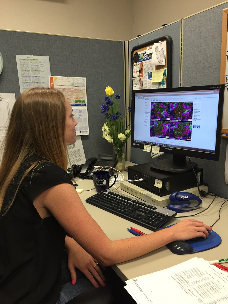
“In making that comparison, the District uses its own in-house meteorological team to analyze real-time data and weather forecasts, and then uses this information to see if regulations would allow a burn day to occur, and at which elevations.”
 Further, according to Air Quality Analysis Team (AQAT), when the District makes its declarations for hazard reduction burning, staff consider current and forecasted meteorological dispersion conditions, such as horizontal wind flow at the surface and above including speed and direction, vertical mixing, temperature inversions, and other local/regional emissions activity. Generally the air quality conditions in the Central Valley don’t affect whether or not the foothills and above can have a burn day, but that’s not always the case.
“If we have a situation where we do have very poor air quality on the Valley floor, we may not allow Hazard Burn Reduction even if there is good dispersion in the mountain communities as the burning could produce smoke that travels to the Valley floor and compounds already bad air quality. This is assessed on a daily-basis on a case-by-case basis.”
 AQAT says they gather meteorological parameters through the National Oceanic Atmospheric Administration’s (NOAA) Air Resources Laboratory (ARL), which allows staff to formulate localized atmospheric conditions critical for hazard reduction burn declarations.
In addition, they say, staff analyze forecast output from local and regional scale models, such as the Global Forecast System (GFS) and the North American Mesoscale Model (NAM), to determine atmospheric patterns that may be in support of hazard reduction burning.
Valley Air District’s Jaime Holt confirms that the Team works 365 days every year. Even when their offices are closed, says Holt, one person from the seven-member team will come in for a few hours to perform a variety of duties, including making the call on Burn Days.
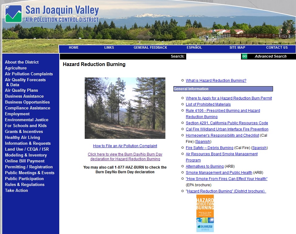
For more information visit the Valley Air District website.
To find out whether it is a burn day in your area, call 877-429-2876. Information is updated by 4:30 p.m. for the next day.
And remember, you must have a burn permit, available free of charge from any local fire station.