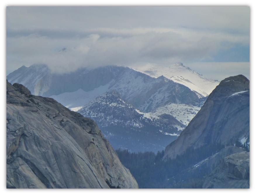
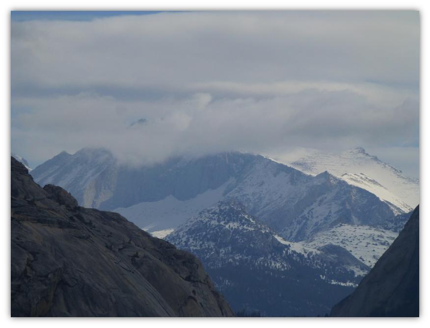
Frozen high lakes in the Tioga Pass area and snow covered mountains with building clouds were the backdrop for our latest adventure.
Where: Yosemite National Park
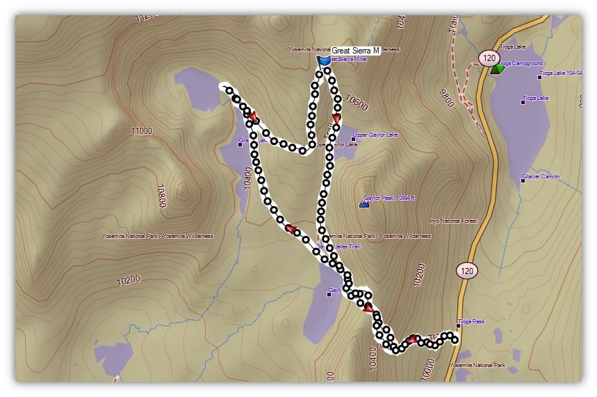
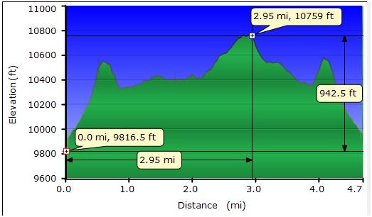
Distance: 4.7 Miles
Difficulty: Moderate
Elevation Range: 9,757′ – 10,770
Date: May 8, 2014
Maps: Falls Ridge Topog
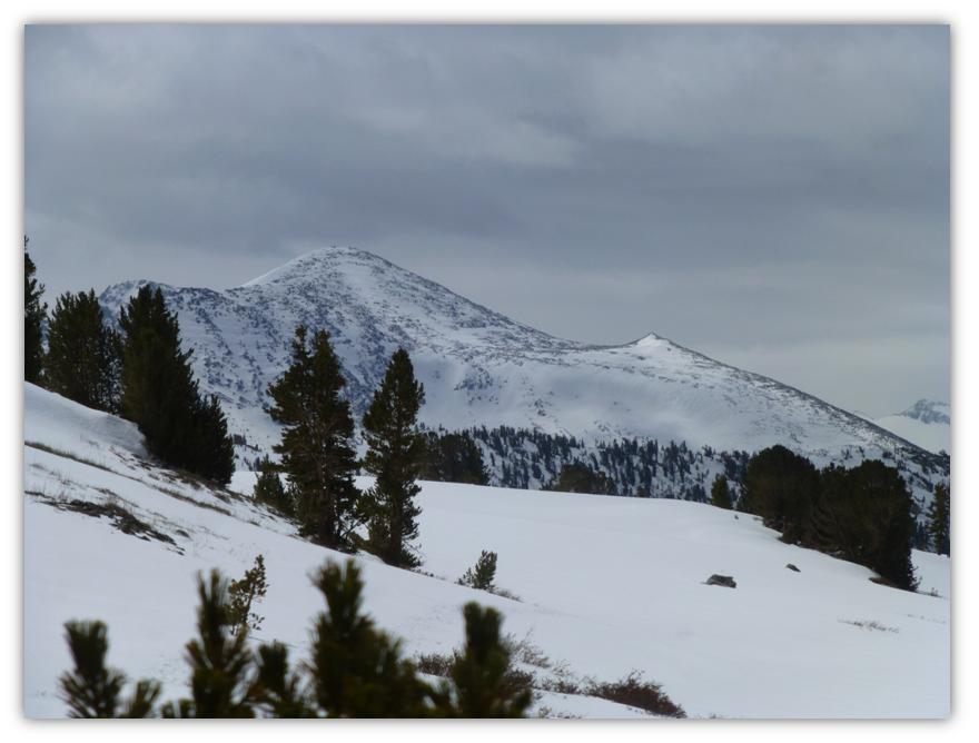
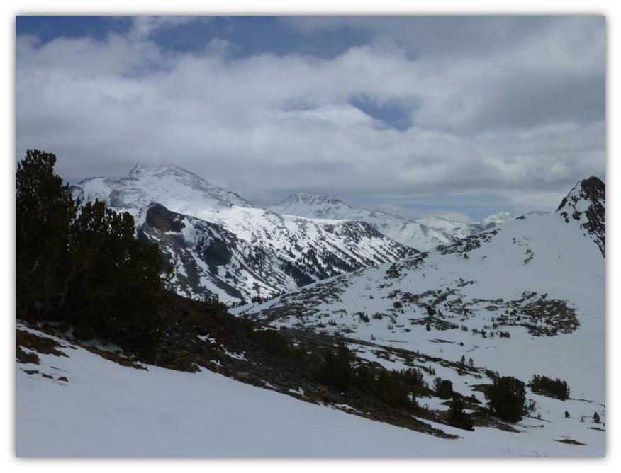
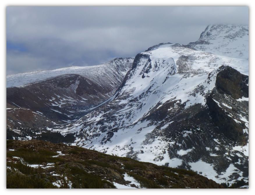
Highlights: I felt like I was on top of the world. All of my old friends: Mt. Dana, Dana Plateau, Mammoth Peak, and Mount Conness were covered with snow and clouds drifted overhead. The light and shadows were changing all day, illuminating the frozen lakes and snowy mountains in an ever changing picture.
There was a small front predicted to pass north of the area on this day and you never know what will happen. The National Weather Service had predicted that the front could produce 1 to 2 inches of snow “mostly north of Tahoe.” We never really know how these things could affect the highest peaks on the Sierra Crest but were prepared for the worst.
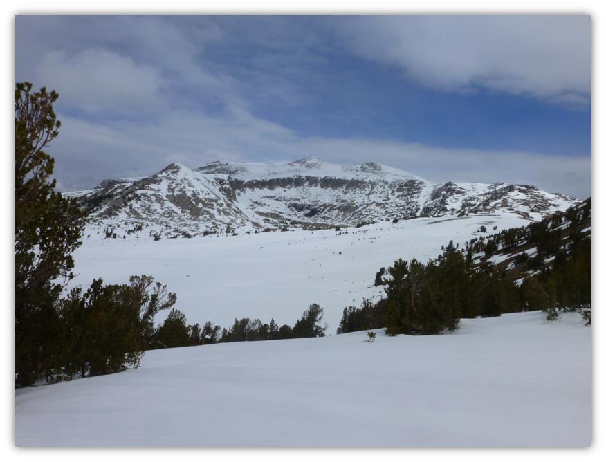
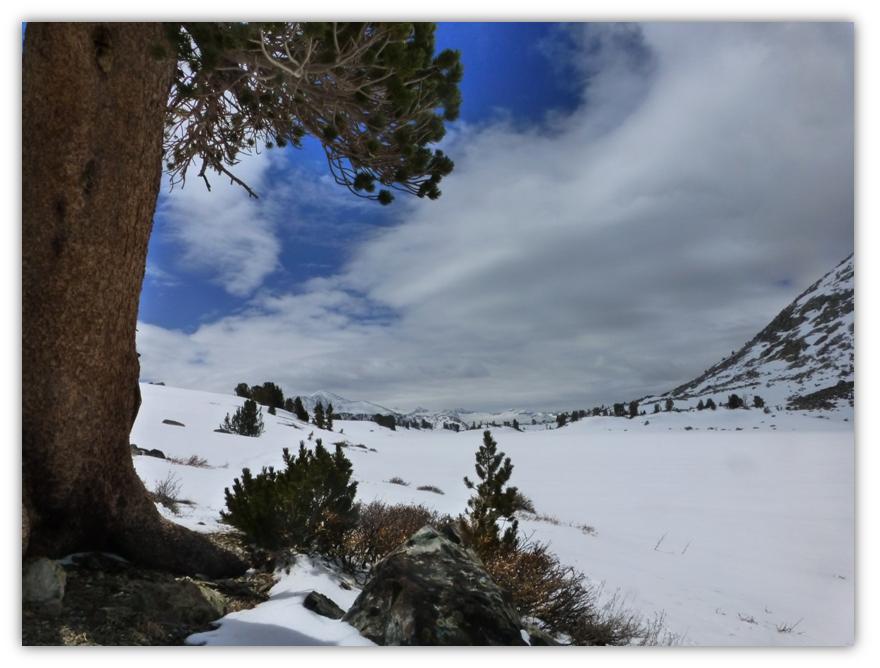
Would we see white clouds hiding the mountain tops? Would we experience the 30 mph winds that were predicted? Would we get snowed on? As we rounded the corner on Tioga Road at Olmsted Point in the morning, this was our first view of the high country we would be near for the day.
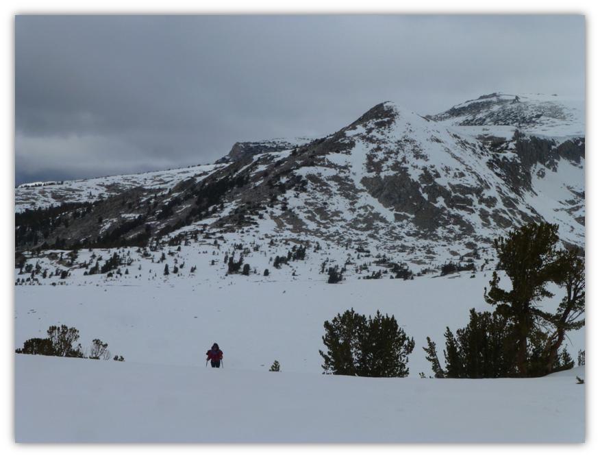
We drove to the parking lot at the Tioga Pass East Entrance to Yosemite and parked, used the nice and clean restrooms there, strapped on our snowshoes and headed up the hill. Our desire was to get to the middle of the 3 Gaylor Lakes, head up to the Granite Lakes for lunch and hopefully head over to the old mining town of Dana City where the Great Sierra Mine operated in the 1870s and 1880s. That was a pretty ambitious plan and not know what the weather had in mind for us and us being on snowshoes, well, we just didn’t know how we would do.
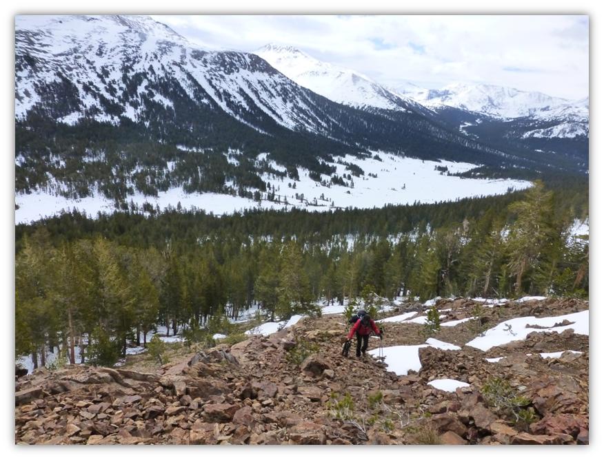
The snow on the trail was well packed and had a light dusting from the previous night. Although the trail was not all that clear, we had been here several times and knew the way, following some older cross country ski tracks at the beginning. As we reached the saddle below Gaylor Peak, our route took us through a rocky area devoid of snow.
In order to get across this rocky ground, we needed to take off our snowshoes, walking through it, then putting them back on when we reached the other side. On the return trip, we were able to stay high, skirting the rocks and were able to snowshoe the entire way down.
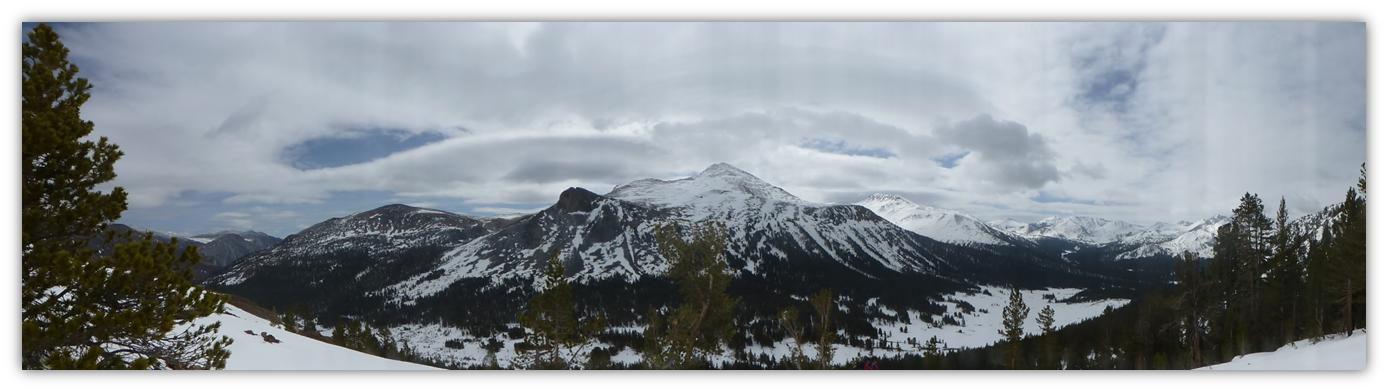
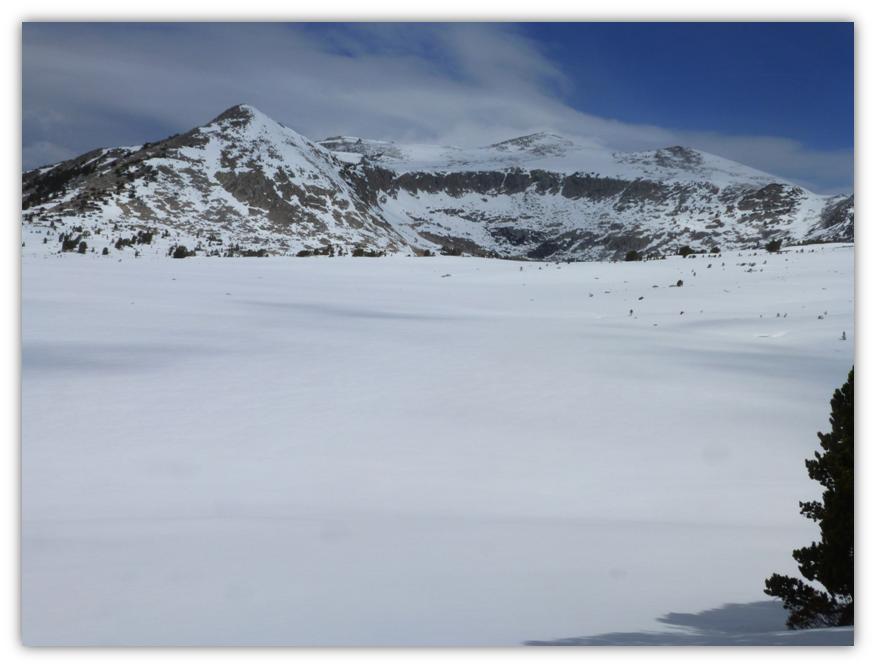
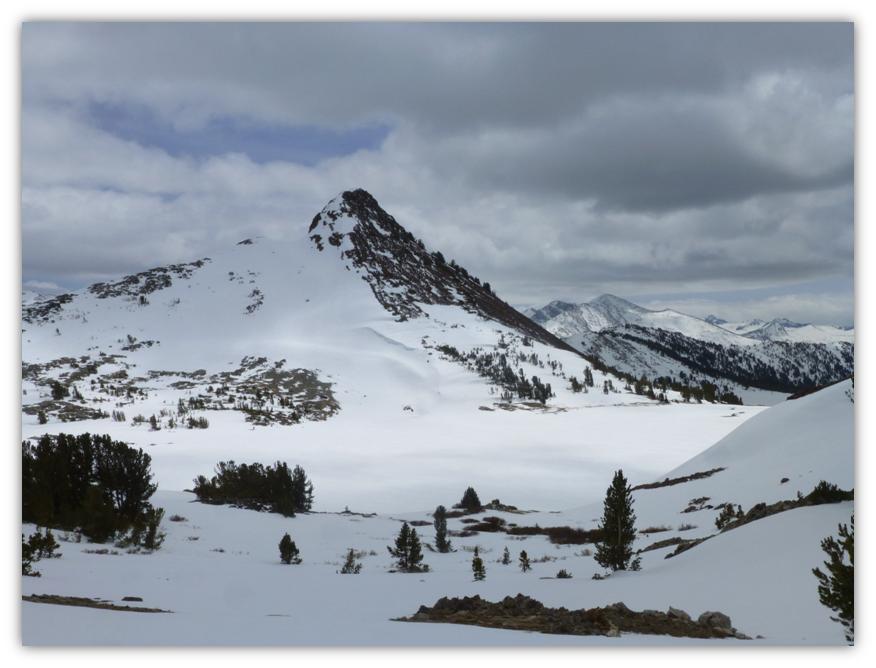
From the saddle below Gaylor Peak, we had quite the view, almost shouting out that I needed to try a panorama shot looking to the south.
As we walked just to the north of the saddle, I took a glance behind me, where our snowshoe tracks had come from.
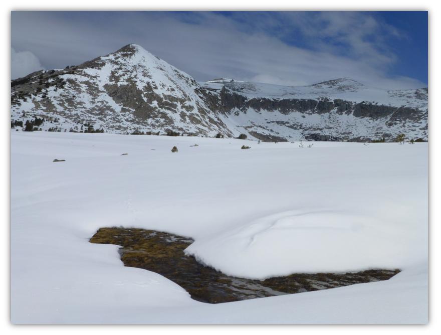
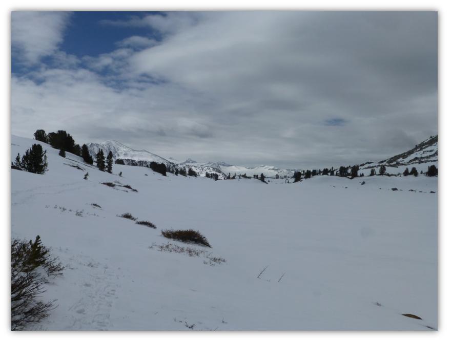
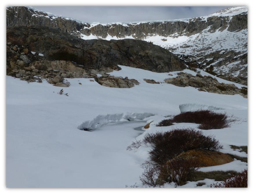
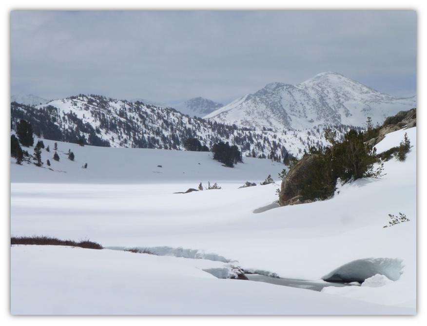
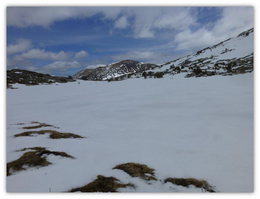
Looking to the north, we caught our first look at Gaylor Lake and it was totally white, no water or melting anywhere. Yes, there really is a lake down there and when we reached it we could see that it was still frozen over.
We walked around one side of the lake, seeing many different animal tracks. There were no human tracks of any kind.
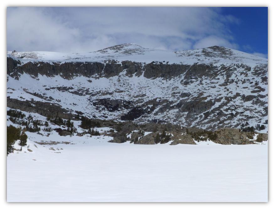
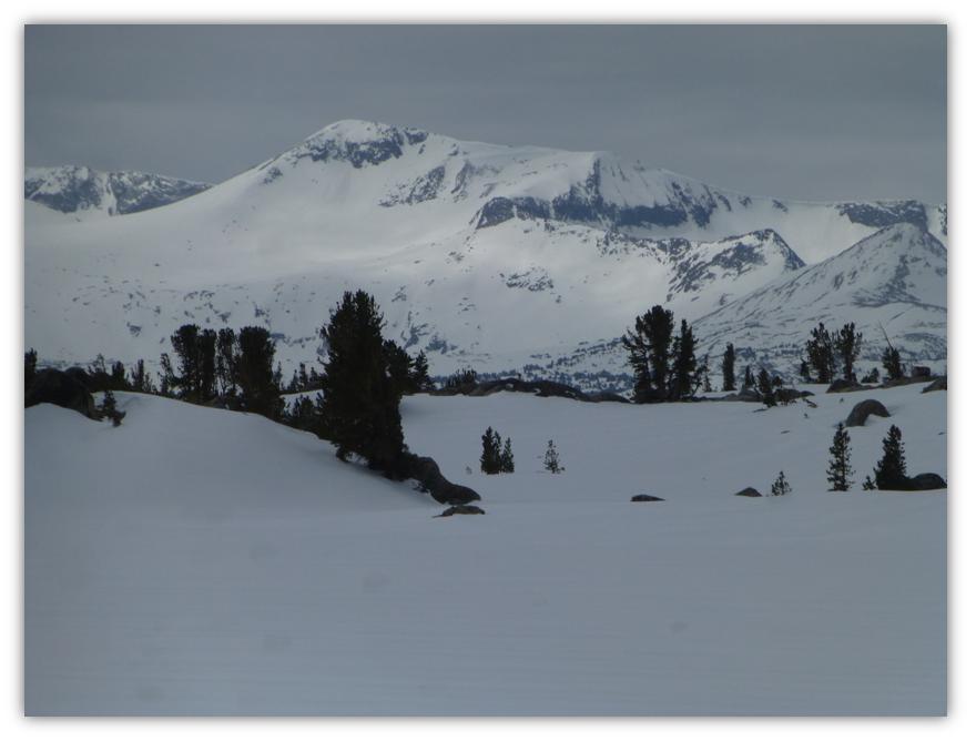
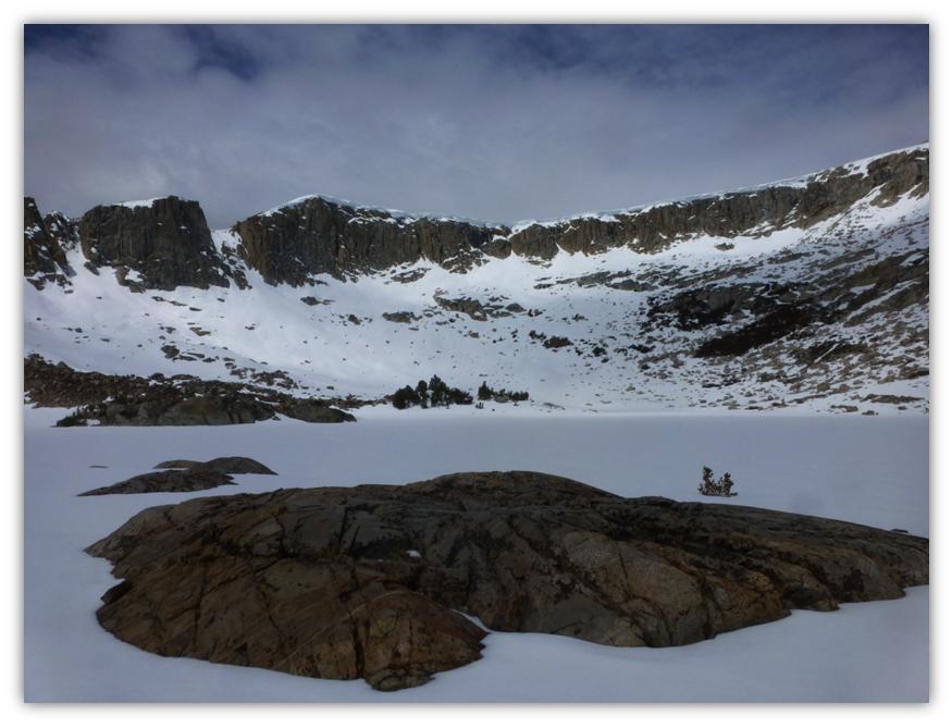
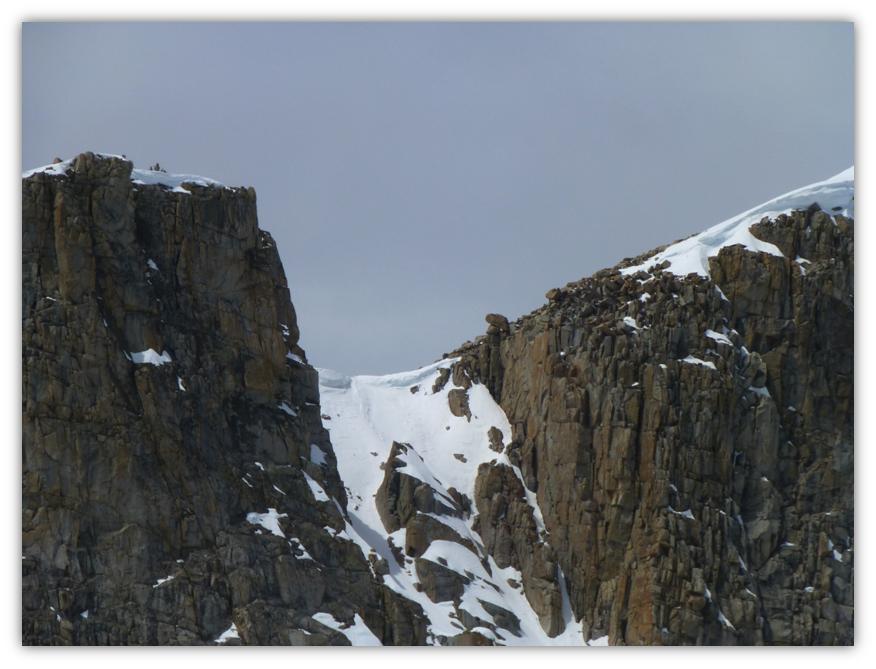
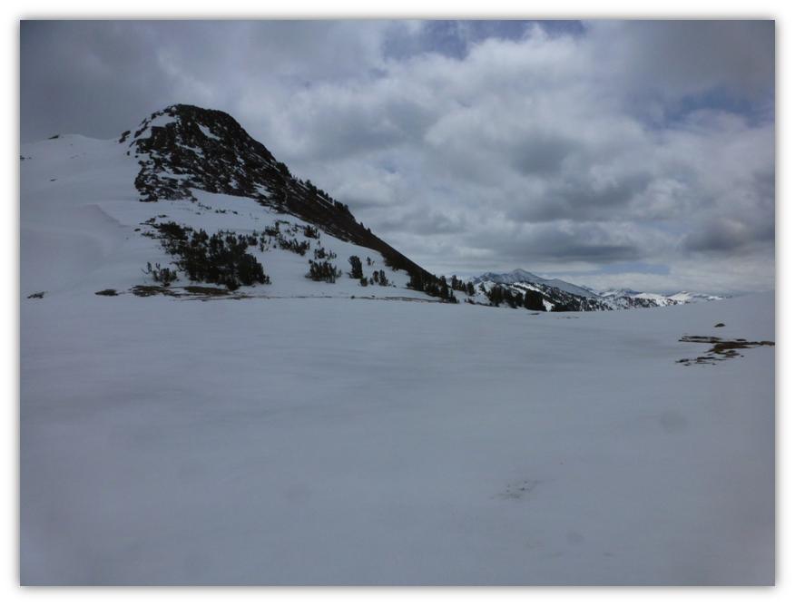
We headed toward the Granite lakes, tucked in a crater-like basin lined with rim rock at the top.
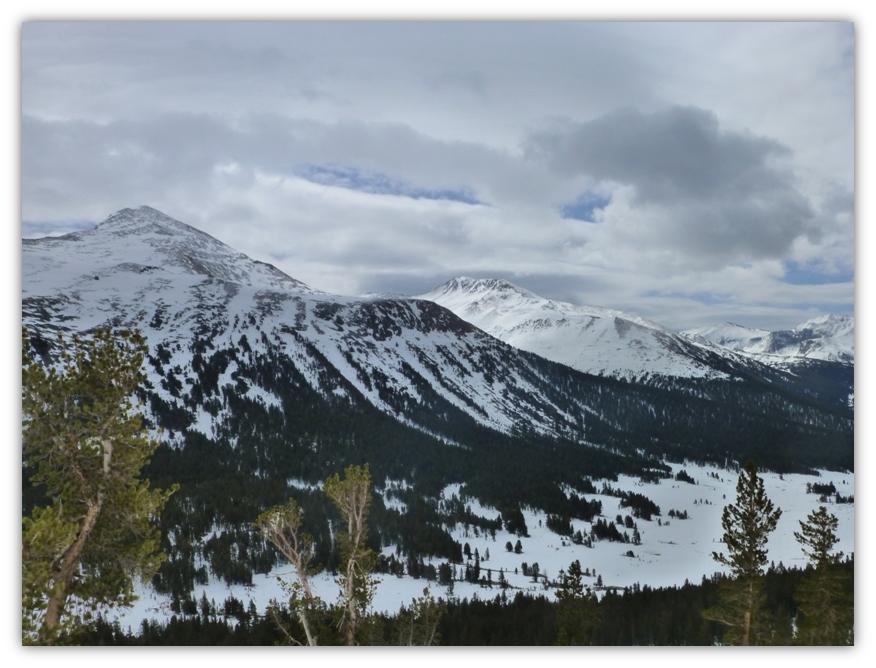
 As we got closer, the clouds parted to give us more blue sky. . . for a few minutes.
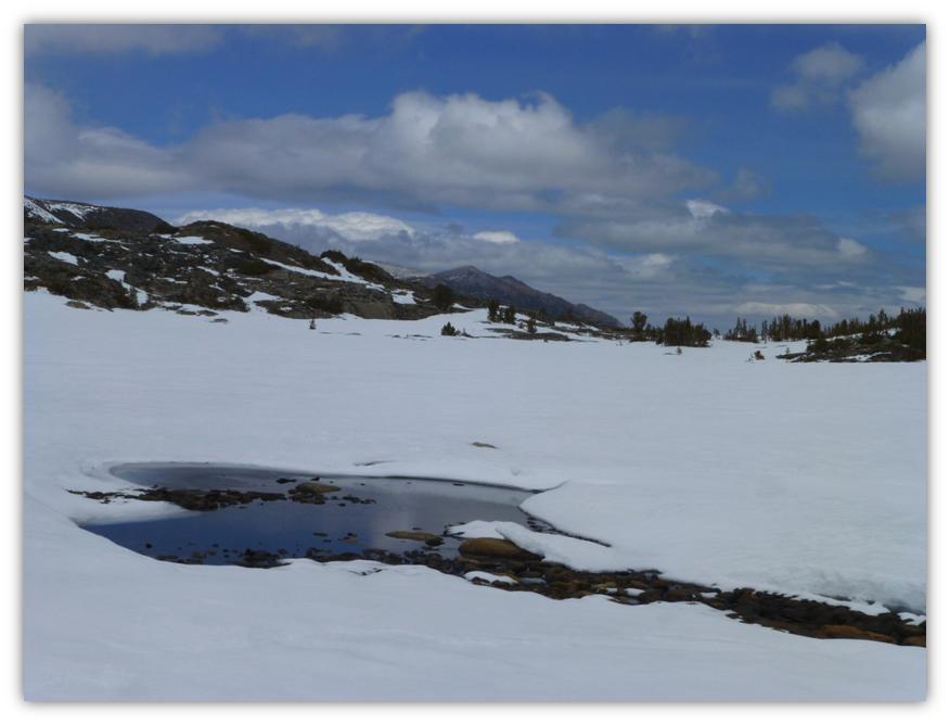
This is what the lower of the Granite Lakes looked like. Note the greater percentage of cloud cover and darkening skies to the north.
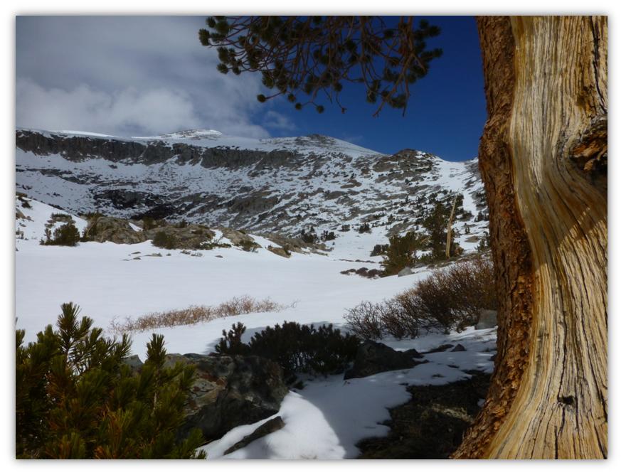
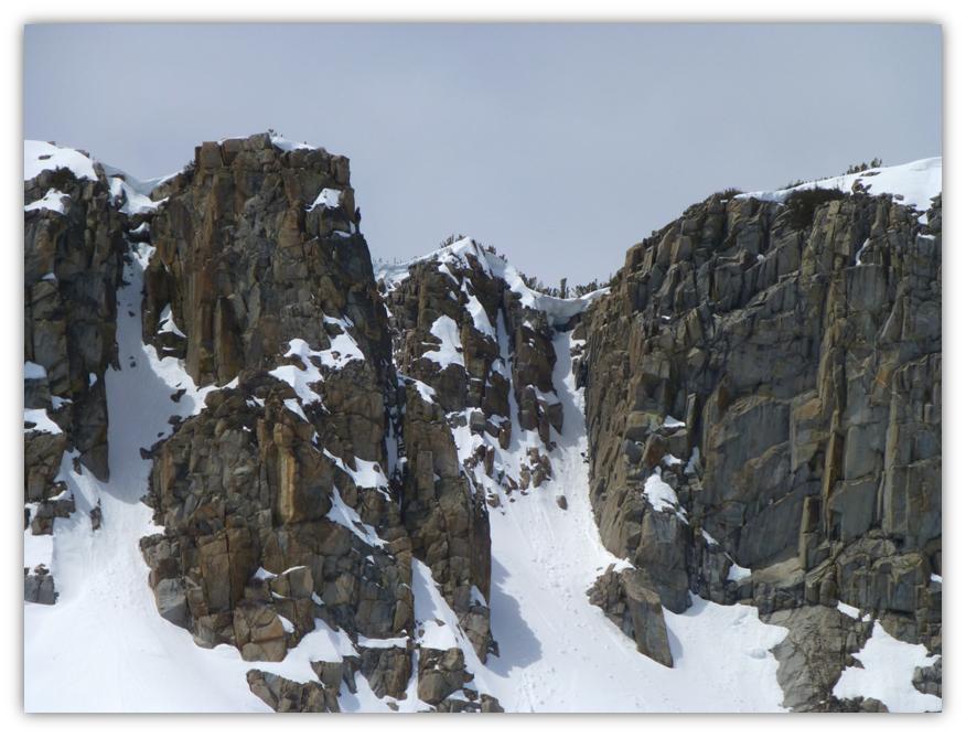
We wandered along the creek up to the upper of the Granite Lakes.
The upper Granite Lake. The upper rimrock was so pretty with the snow lining it.
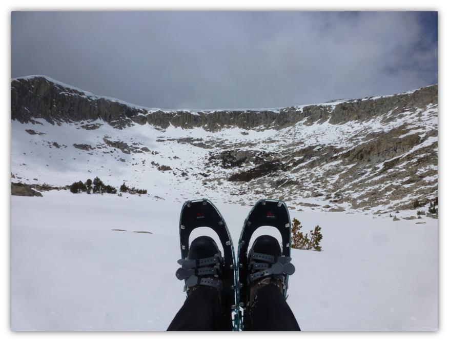
It was the perfect spot to stop for lunch. As we sat on some rocks near the lake, I started to feel snow pelting my face and wondered if it was coming off of the rim or the snow surrounding us. Nope, that was new snow and it was looking pretty black to the north.
After taking in the beauty at our lunch spot, we decided to head back down and depending on what the weather did, try and take a cross country jaunt over to the old mining town of Dana City.
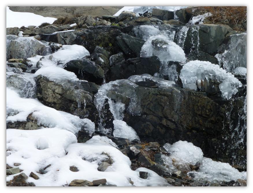
We came across a small creek with a rocky waterfall starting to melt. Beautiful!
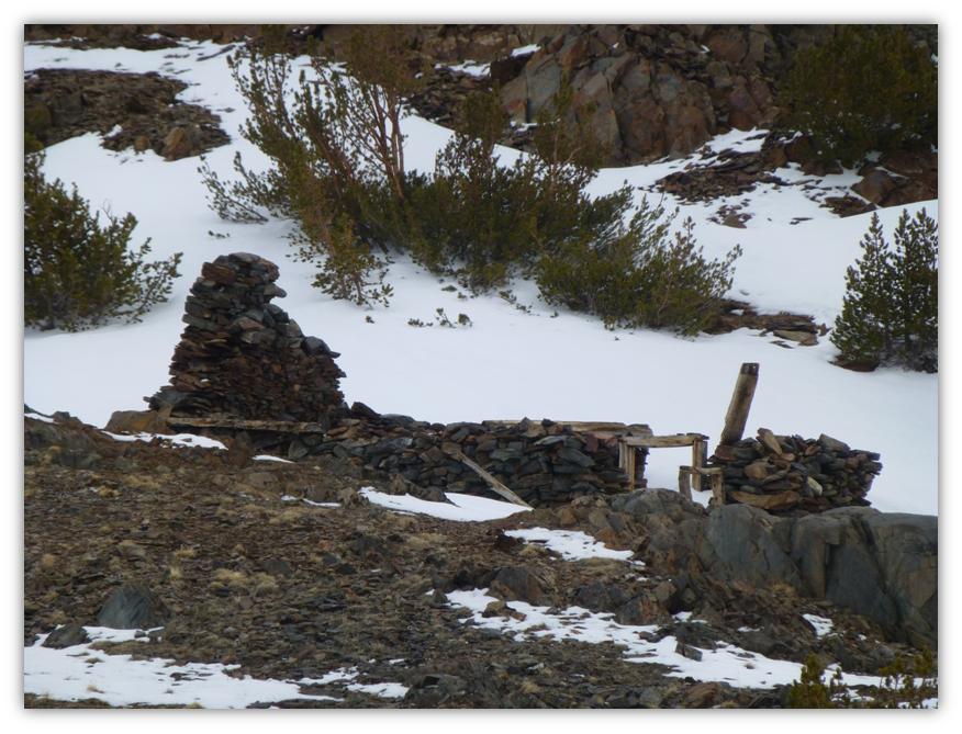
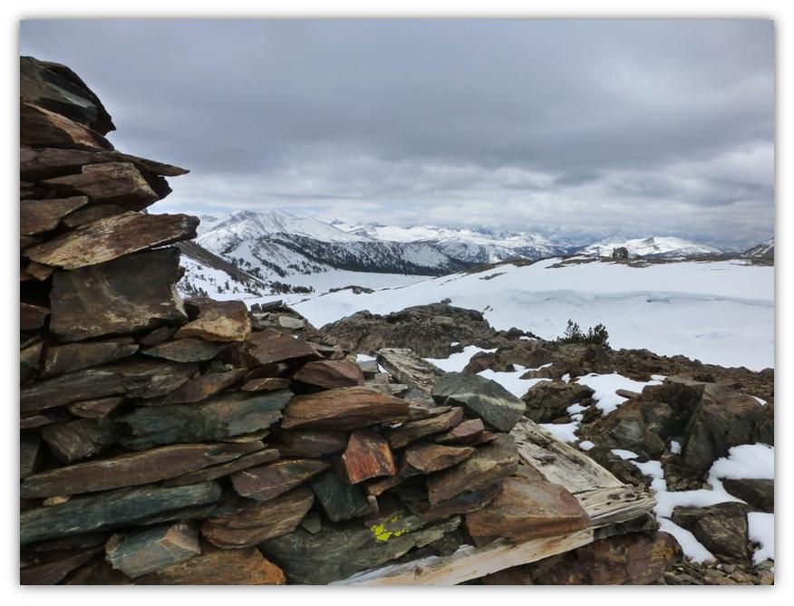
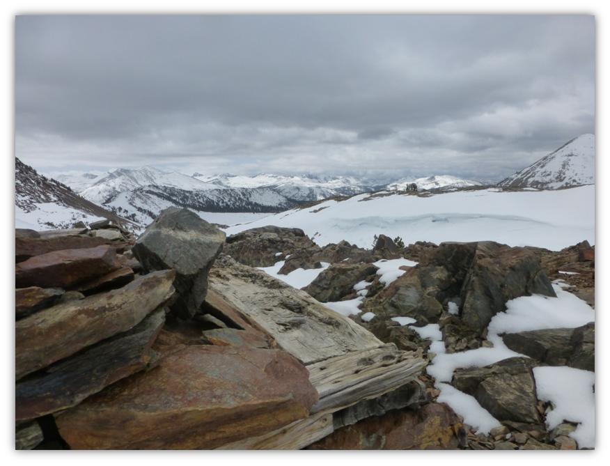
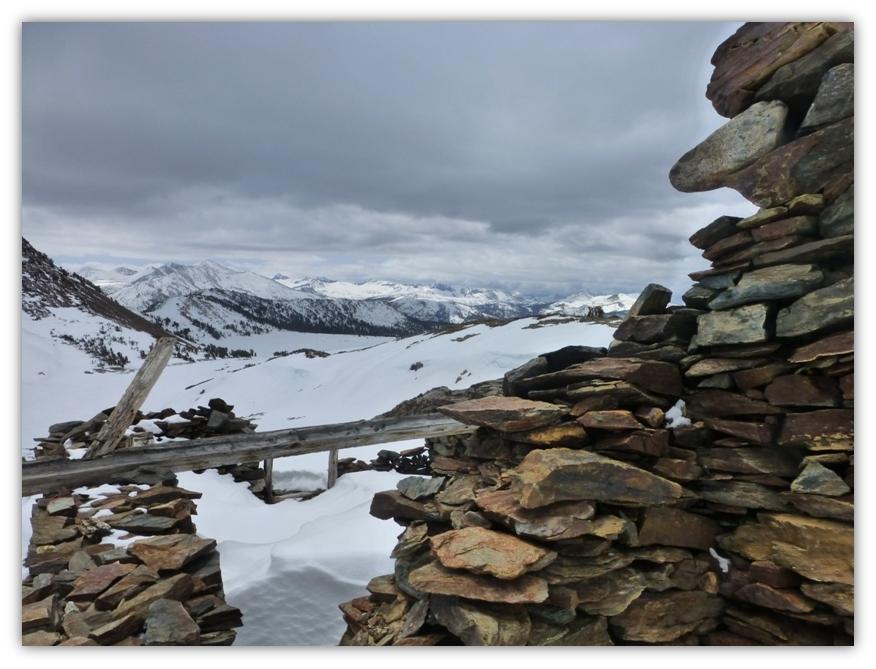
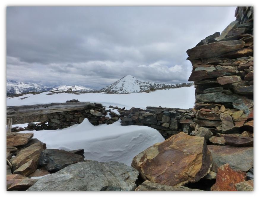
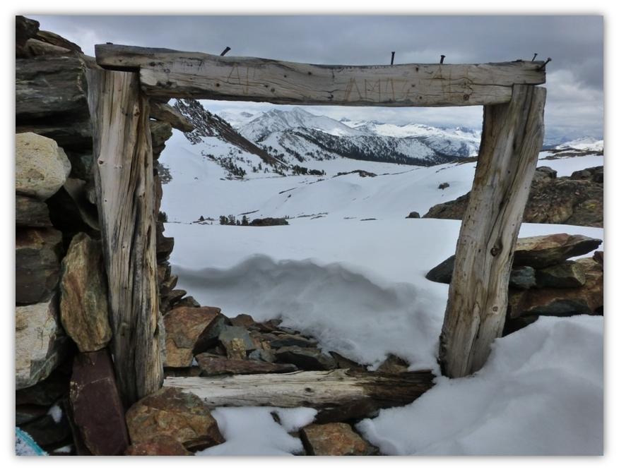
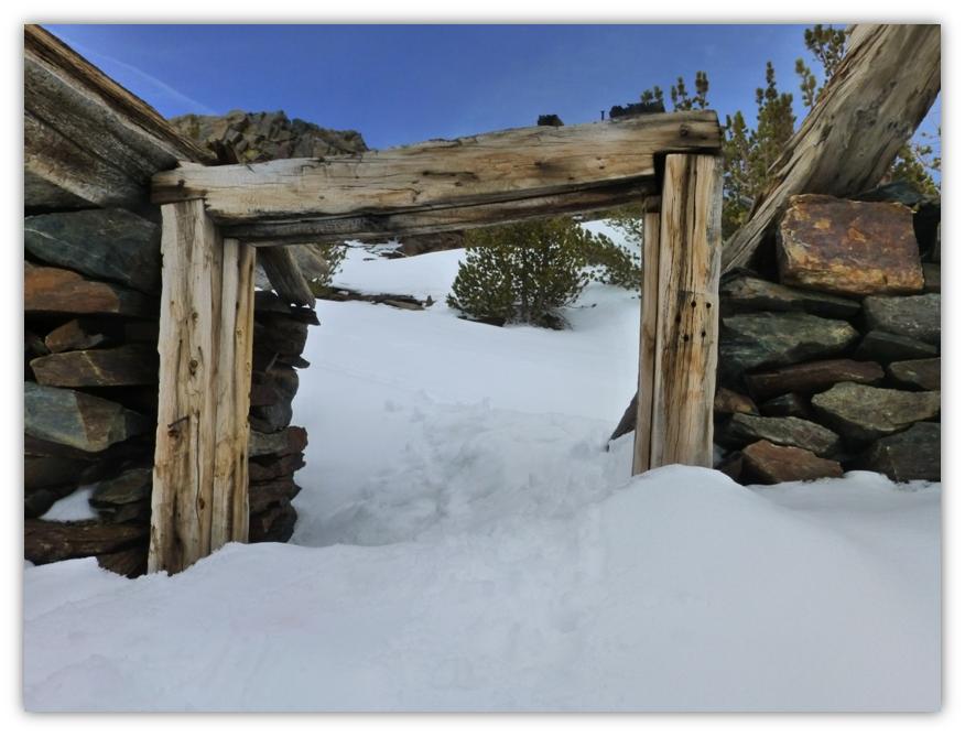
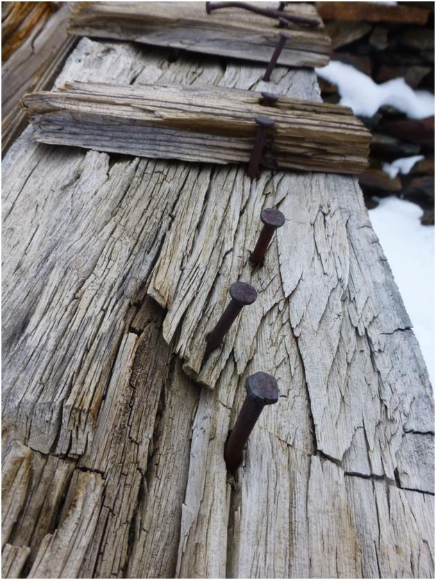
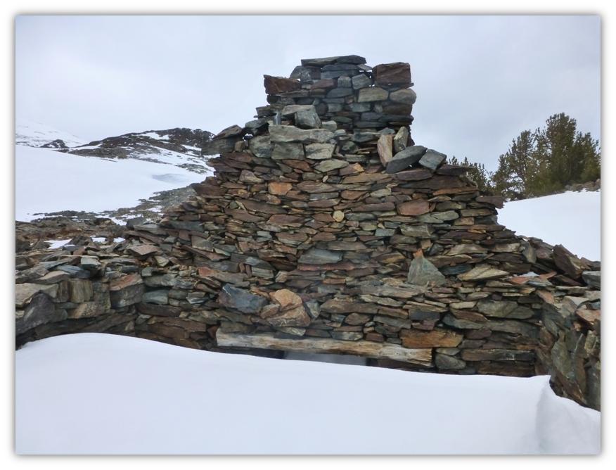
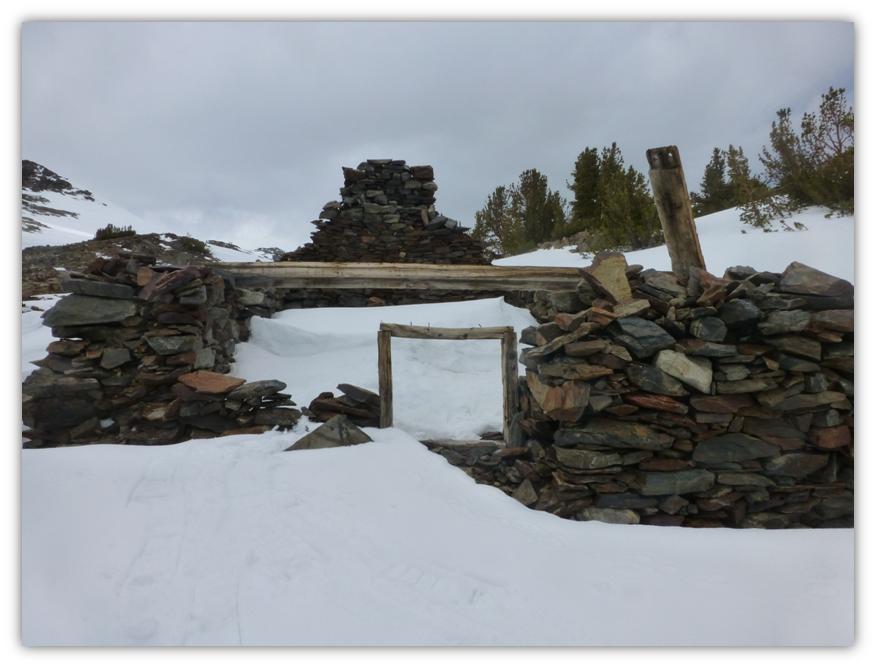
As we topped out, we could see the ruins of one of the old mining buildings in front of us. You can check out a prior two-part blog of mine with much more historical information about this mining area.
Dana City is the name of the old town that was located adjacent to the old abandoned mine known as the Great Sierra Mine. It was at its peak around 1880 or so, even had its own post office, but by 1884 the boom was over and the town was no more, but you can still get some glimpses of what remains in this ghost town and mining area that once thrived.
When you walk around these old remains of buildings in Dana City, it is very easy to imagine what type of life these miners had up here. And what a view they had!
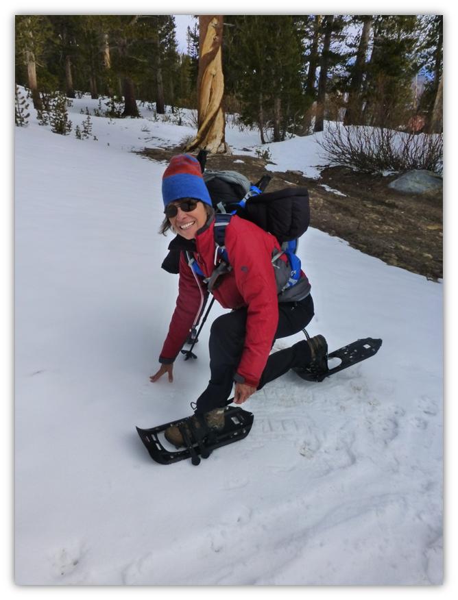
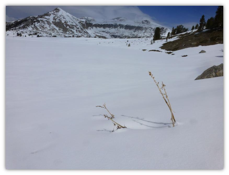
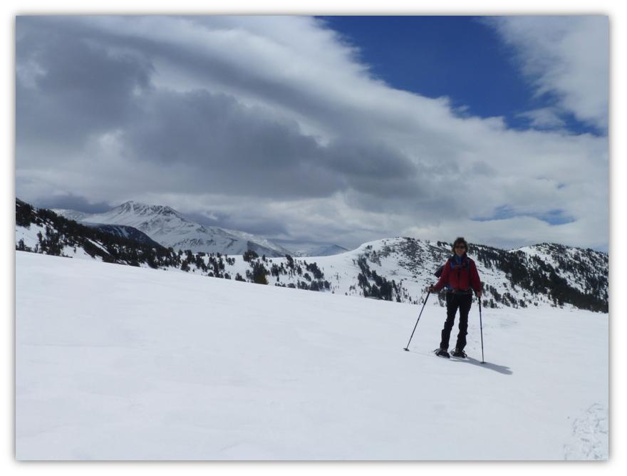
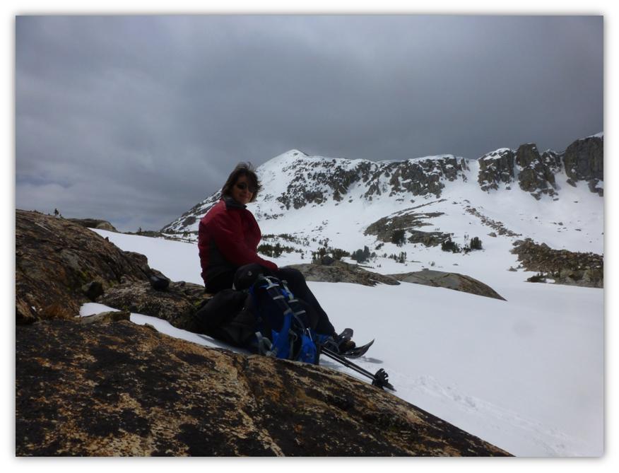
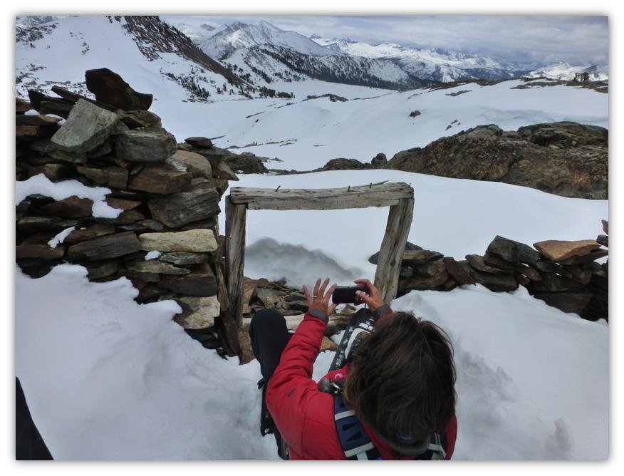
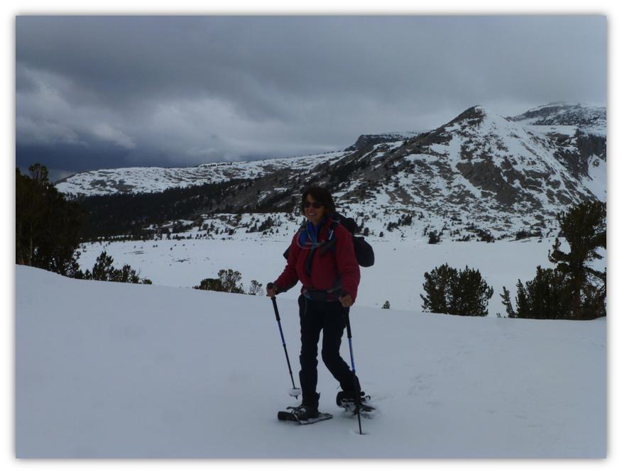
Did you ever wonder how Gail get’s her amazing pictures? Here is one of her techniques.
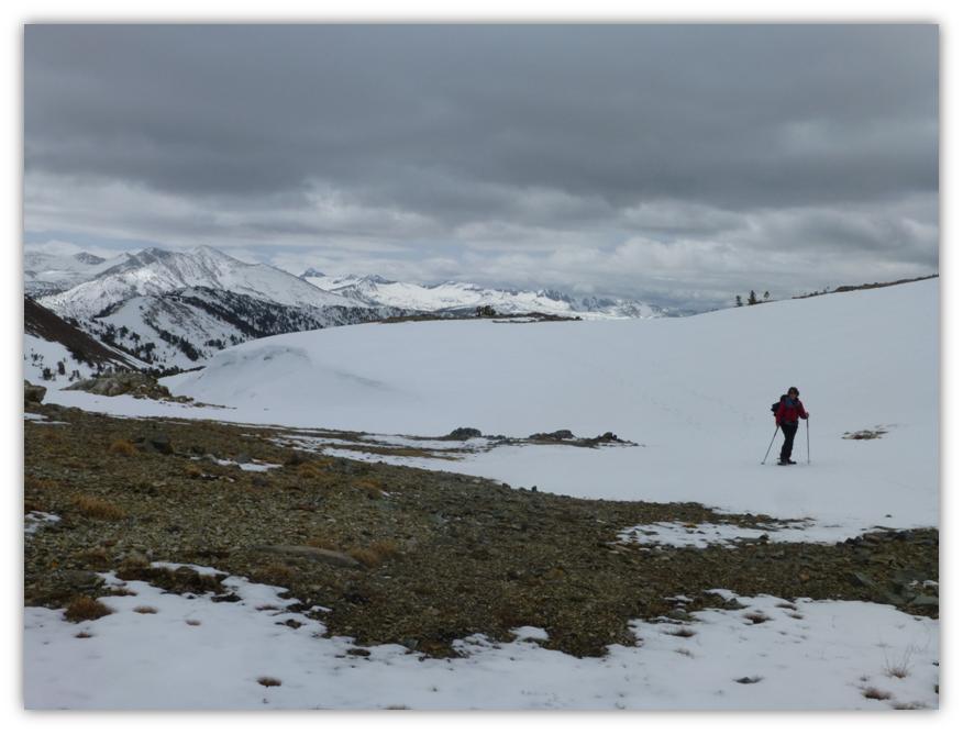
It was time to head back and we had a million dollar view on the way down.
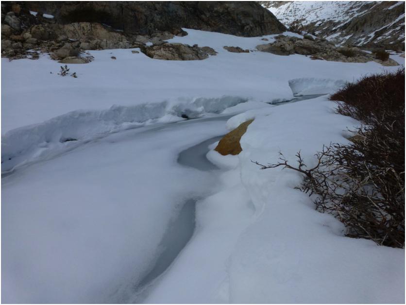
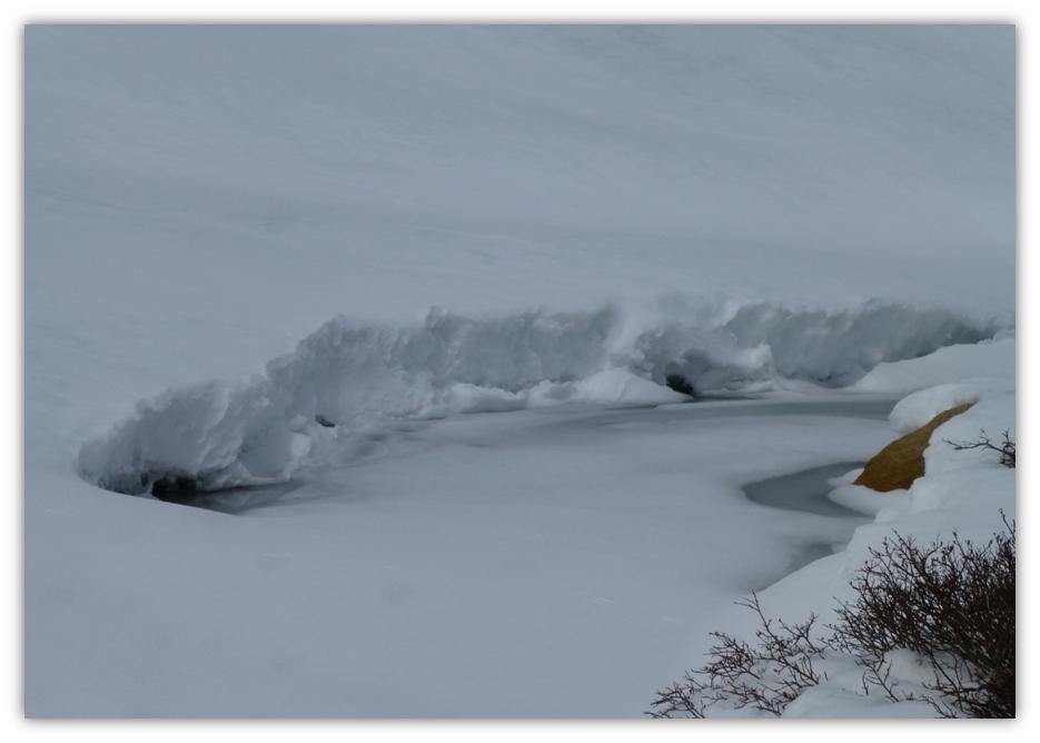
We walked down by the upper of the Gaylor Lakes, still iced over except for the outlet.
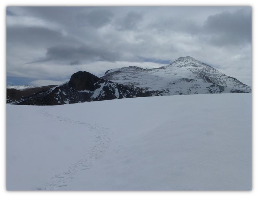
One more climb up through the notch on Gaylor Peak.
And back to the car. We had a little wind, a little snow, great clouds and an awesome view of Gaylor, Granite Lakes and the surrounding mountains. Plus we made it to Dana City for a short visit. Plus we had the place to ourselves. The day just doesn’t get any better than this!
 Sources:
Wikipedia
Day Hikes in the Tioga Pass Region, John Carroll O’Neill & Elizabeth Stone O’Neill, 2002
Hubbard, D. H.,Ghost Mines of Yosemite, 1958, Awani Press, Fresno.
Russell, C. P., Early Mining Excitements East of Yosemite, 1928, SCB, 13(1):40-53


