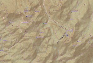
Topographic Map of our Hike in to Iron Lake
We loaded up the Jeep, our packs, one dog, and headed to Iron Lake. Our plan was to 4WD into Iron Lake, then walk to several of the lakes nearby but we were rained out once we reached Iron Lake. I’m not complaining because we sure loved the rain, how it made everything look beautiful and smell wonderful. We were yelling “Weeeeee” many times on our ride on the muddy, rocky roads.
Where: Sierra National Forest
Distance: About 1.26 Miles (hiking)
Difficulty: Moderate Hike, Moderate to Advanced 4 Wheeling
Elevation Range: 8,260’ – 8,597’
Date: September 14, 2015
Maps: Ahwahnee, Little Shuteye Peak Topographic Quads
I’m not going to begin to try and give you directions into this lake because this was the first time I had been there, I was in the back seat and we took a few wrong turns on our way in from Sky Ranch Rd. I ended up turning on my GPS to help guide us in. I had thrown a few waypoints on Iron Lake and the surrounding lakes to help guide me if needed. That track is at the bottom of this blog in case it might help you.
We had been watching the weather forecasts closely and thought we could fit this trip in before the real rain started. Our timing was a little bit off on that part of our adventure. It was raining lightly when we eventually arrived at the 4WD section into Iron Lake. This 4WD section is a very steep and narrow road at times, with trees crowding the road, limiting the size of vehicle that can make it through. Robin was an excellent driver, having been down this road many times before. She took her Jeep Loredo down the skinny road in 4WD low, over loose, rocky areas were she had to choose where her wheels went and negotiated those trees with a couple of inches to spare. Some areas had a larger boulder or tree stumps that had to be worked around. We had made a plan that if it started raining, we would drive out. We didn’t want to be at the bottom and need to get back up over slick wet rocks and slick mud.
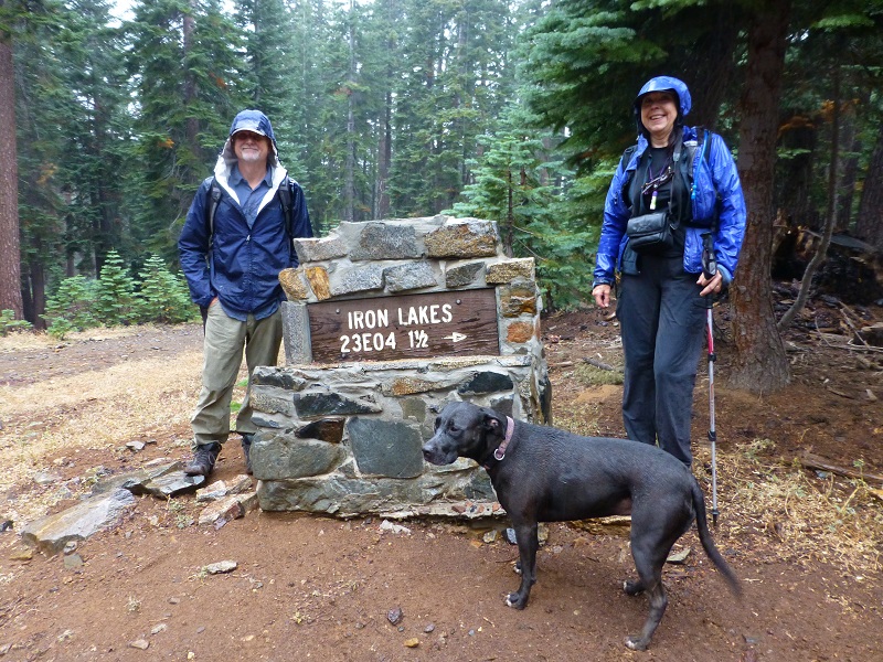
Road Marker for the 4WD Section of the Road down to Iron Lake.
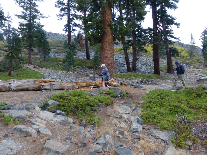
Robin parked at the what was basically the bottom of the 4WD road where it loops to allow turn arounds. We put our packs and rain jackets on and started walking down the trail.
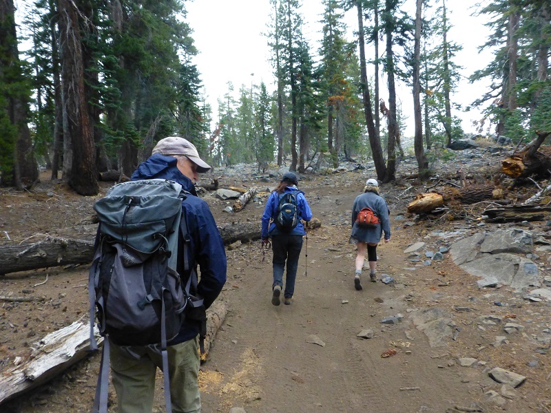
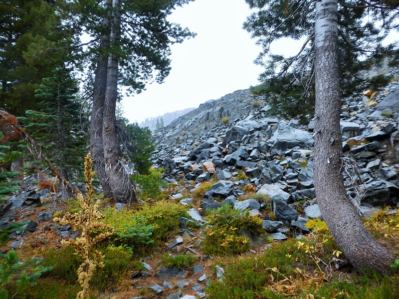
As we headed farther down, the trail went through a rocky area. Some of the vegetation was turning a late summer or fall yellow.
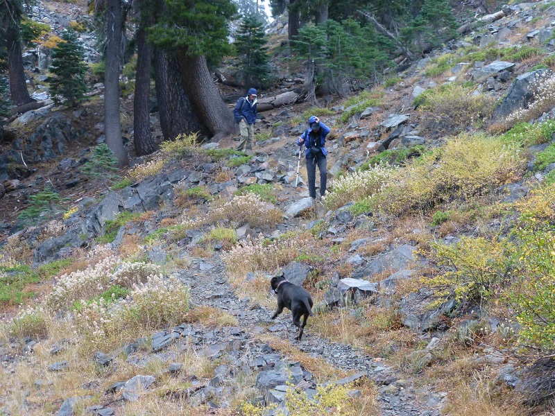
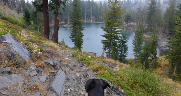
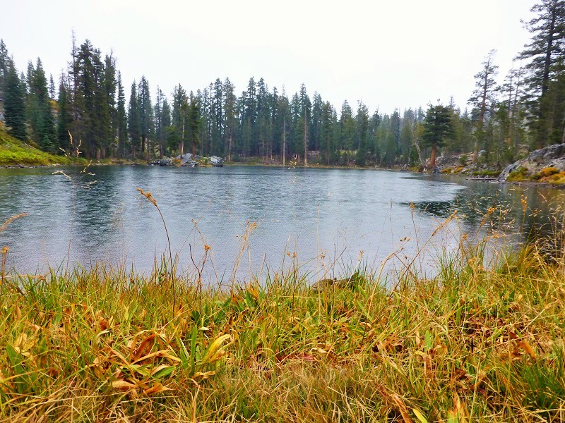
Raven spotted Iron Lake first.

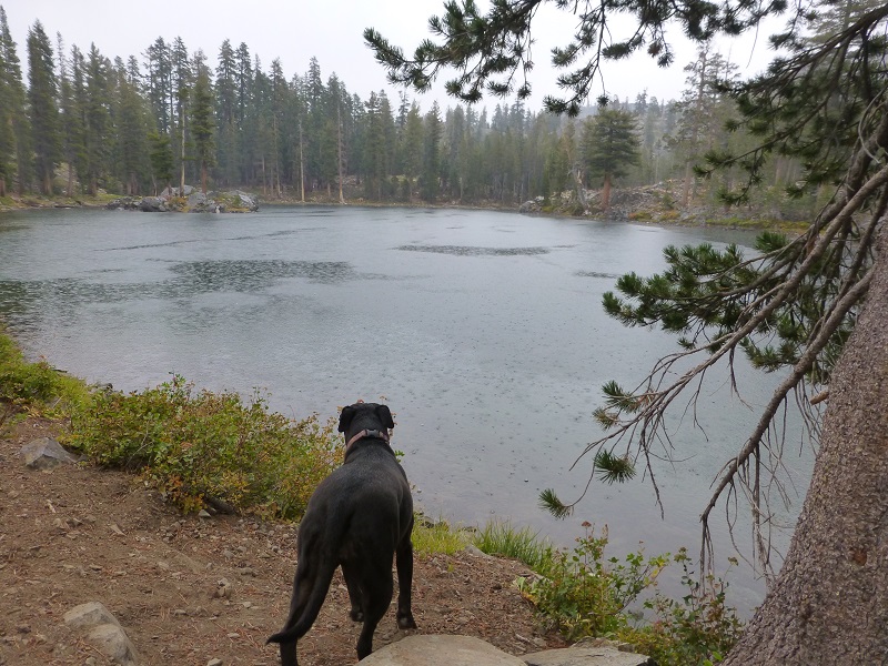
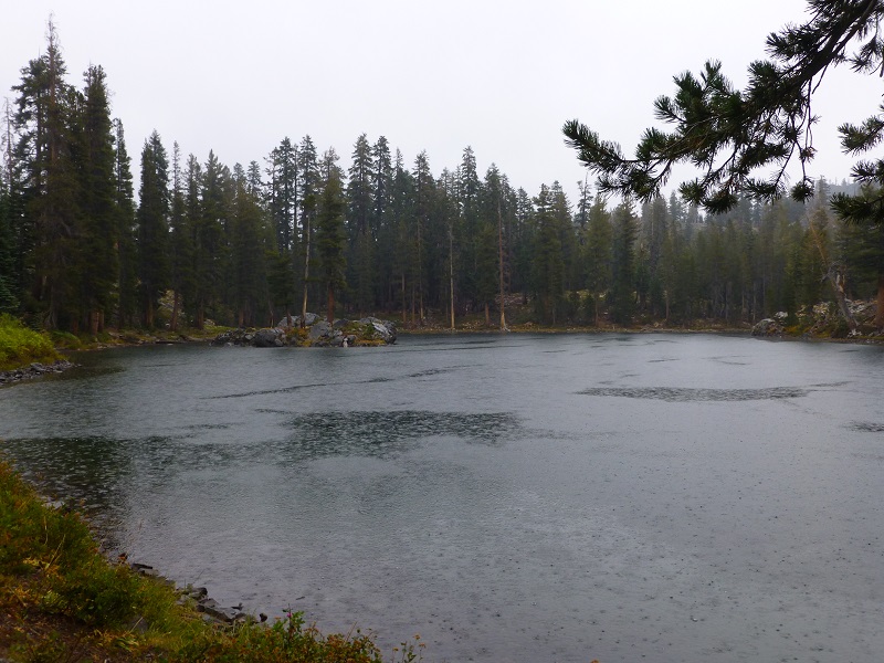
We worked way down to lake and that rain was coming down pretty good. We quickly walked around to see what we could see to take pictures of.
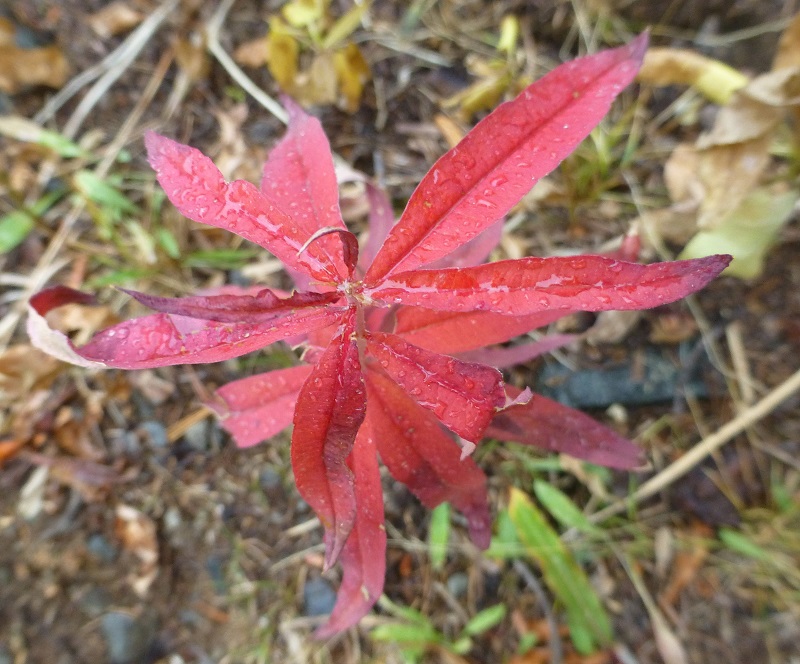
I noticed some fall color.
Yellow corn lillies and grasses were on one side of the lake.
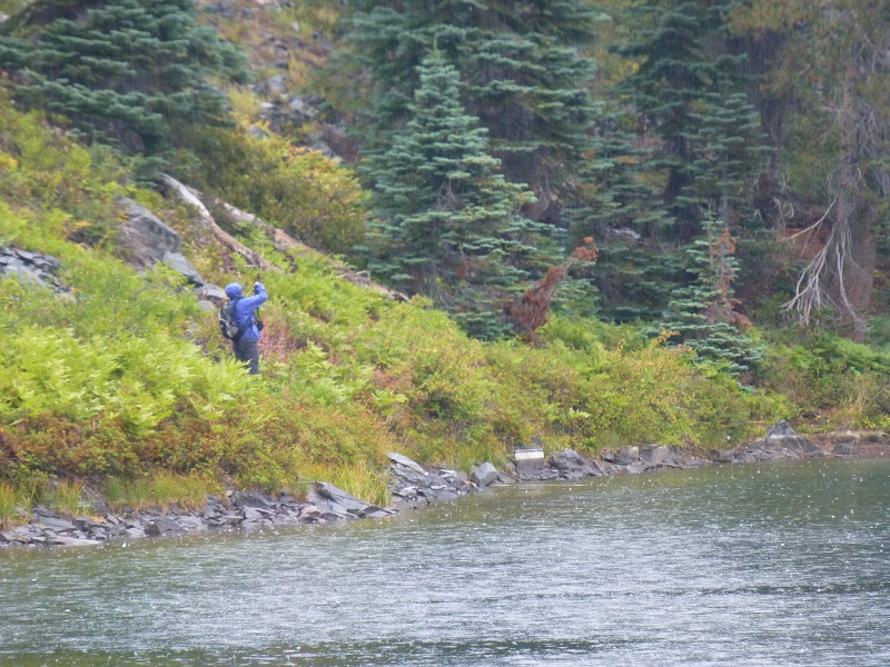
I could see Deb across the lake taking her pictures in the rain.
As I began to head back up, I caught a glimpse of Iron Mountain, 9,167′ elevation, through the trees. Its reddish color helped show why it got its name.
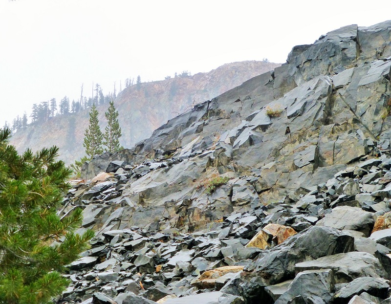
Glimpse of Iron Mountain
Looking through the Trees at Iron Mountain
Meanwhile, Robin had driven her jeep back up to the main road. Steve had walked for a while behind her to make sure she got out of the tricky parts ok and she did. We walked back up to the main road where we met up with the beast that took us on this adventure. We headed out down Beasore Rd., making it back to civilization after making a few wrong turns. We didn’t have time to visit the other lakes but look forward to visiting them again soon, in better weather.

The Beast that brought us to Iron Lake
Here is a topographic map that shows the last 8 miles or so of our approach into Iron Lake from Sky Ranch Rd., once I turned the GPS on.
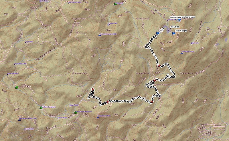
Track of our last 8 Miles or so as we Approached Iron Lake
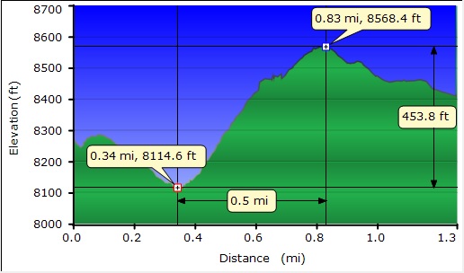
Profile of our Hike in and out of Iron Lake
Sources:


