CENTRAL SIERRA — A winter storm warning is in effect for the Sierra Nevada from Yosemite to Kings Canyon National Park, and the Tulare and Kings County mountains, from 4 a.m. on Thursday, Feb. 2, until 10 p.m. on Friday, Feb. 3.
The warning has been issued by the National Weather Service for areas above 6,000 feet, for heavy snowfall.
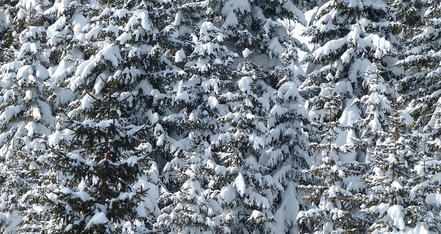
Heavy snow and blowing snow are expected, with accumulations of 12 to 18 inches above 6,000 feet, and up to 30 inches near the crest.
Snow will begin to fall by early Thursday morning and spread southward in the afternoon. Snow will become heavy at times, especially Thursday night and Friday, and continue into Friday evening.
Heavy snow will make many roads impassable and may produce widespread power outages due to the weight of the snow on tree limbs and power lines. Strong winds may lead to blowing snow, reduced visibility, and additional power outages.
Winds will be southwest at 30 to 40 mph, with gusts up to 60 mph.
Severe weather conditions are expected or occurring at this time, making travel dangerous. The National Weather Service advises only travel in the event of an emergency. If you must be out on the roads, keep an extra flashlight, food and water, and a fully charged cell phone in your vehicle in the event of an emergency, plus a full tank of gas in case you become stranded.
Click here for weather updates — enter your zip code.
In the foothills, rain is expected to be heaviest on Thursday night and Friday. Rain clears for the weekend and then returns on Sunday night and Monday. Here’s the detailed forecast from the National Weather Service for Oakhurst for the next several days:
Tonight
Partly cloudy, with a low around 40. Southeast wind around 5 mph.
Wednesday
Mostly sunny, with a high near 67. East northeast wind around 5 mph becoming calm.
Wednesday Night
Rain, mainly after 4 a.m.. Low around 43. Southeast wind 5 to 10 mph. Chance of precipitation is 80%. New precipitation amounts of less than a tenth of an inch possible.
Thursday
Rain before 4 p.m., then showers likely after. High near 57. Southeast wind 10 to 15 mph. Chance of precipitation is 80%. New precipitation amounts between a quarter and half of an inch possible.
Thursday Night
Showers likely before 10 p.m., then rain likely after 10 p.m. The rain could be heavy at times. Cloudy, with a low around 45. Southeast wind 10 to 15 mph. Chance of precipitation is 70%. New precipitation amounts between a quarter and half of an inch possible.
Friday
Rain likely before 10 a.m., then showers likely after. The rain could be heavy at times. Cloudy, with a high near 57. Southeast wind around 10 mph, with gusts as high as 15 mph. Chance of precipitation is 70%. New precipitation amounts between a half and three quarters of an inch possible.
Friday Night
Showers likely, mainly before 10 p.m. The rain could be heavy at times. Mostly cloudy, with a low around 41. South wind around 10 mph. Chance of precipitation is 70%. New precipitation amounts between a quarter and half of an inch possible.
Saturday
Partly sunny, with a high near 59. South southeast wind around 5 mph.
Saturday Night
Mostly cloudy, with a low around 39. Southwest wind 5 to 10 mph becoming northeast in the evening.
Sunday
Partly sunny, with a high near 59. Northeast wind 5 to 10 mph becoming east southeast in the morning.
Sunday Night
Rain likely. Mostly cloudy, with a low around 39. Southeast wind 5 to 10 mph, with gusts as high as 15 mph. Chance of precipitation is 60%.
Monday
Mostly cloudy, with a high near 56. South southeast wind around 10 mph. Chance of precipitation is 70%.


