MOUNTAIN AREA — It doesn’t matter that it’s technically spring: the National Weather Service says a Winter Weather Advisory is in effect for the Sierra Nevada high country above 8,000 feet from Yosemite to Kings Canyon National Parks, starting Friday morning at 5 a.m., May 24 and continuing through Saturday morning, May 26 at 5 a.m. In lower elevations, there’s a chance for rain and thunderstorms.
Snow accumulation of up to 6 inches is possible along Sierra Nevada crest, including on the hiking trails, and in Yosemite in Tuolumne Meadows and near Tioga Pass.
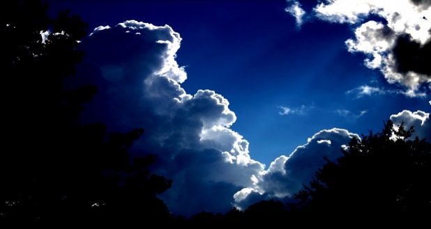
Be prepared for winter-like conditions in these areas in addition to isolated to scattered thunderstorms during the early part of Memorial Day weekend.
Snow is expected. Total snow accumulations of 1 to 3 inches, with amounts up to 6 inches in some locales, are expected. In addition, expect isolated to scattered thunderstorms with frequent dangerous lightning.
Hazardous driving conditions are expected over the high Sierra passes, and plan on an alternate route. Expect reduced visibilities and chain controls at times. Those involved in outdoor recreation and hiking along trails in the high country should be prepared for winter-like conditions.
A Winter Weather Advisory for snow means periods of snow will cause primarily travel difficulties. Expect snow covered roads and limited visibilities, and use caution while driving. The latest road conditions for the state you are calling from can be obtained by calling 5 1 1.
Check your local weather here:

