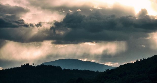
Mountain Communities – Strong thunderstorms will impact portions of south central Mariposa, southeastern Madera, eastern Merced and central Fresno Counties through 1:45 PM PDT.
At 1:05 PM PDT, Doppler radar was tracking strong thunderstorms along a line extending from Oakhurst to 9 miles southwest of Raisin City. Movement was east at 25 mph.
Radar indicated pea size hail. IMPACT…Minor damage to outdoor objects is possible. Locations impacted include… Fresno, Clovis, Madera, Sanger, Selma, Kerman, Oakhurst, Bowles, Madera Acres, Yosemite Lakes, Parkwood, Parksdale, Biola, Del Rey, Raisin City, Calwa, Bonadelle Ranchos-Madera Ranchos, Easton, Fowler and San Joaquin.
PRECAUTIONARY/PREPAREDNESS ACTIONS… Torrential rainfall is also occurring with these storms and may lead to localized flooding. Do not drive your vehicle through flooded roadways. These storms may intensify, so be certain to monitor local radio stations and available television stations for additional information and possible warnings from the National Weather Service. && LAT…LON 3731 11927 3644 11969 3654 12024 3739 12000 TIME…MOT…LOC 2005Z 282DEG 31KT 3733 11964 3654 12006 MAX HAIL SIZE…0.25 IN MAX WIND GUST…<30 MPH

