Opening day at Yosemite Ski and Snowboard Area (Badger Pass) and that meant that the nordic trails were open, groomed and begging us to dig our snowshoes out to feel the snow squeak and see the fabulous snow blanketed high country.
Where: Yosemite National Park
Distance: 7.49 Miles
Difficulty: Moderate
Elevational Range: 7,237′ to 7,380′
Date: December 20, 2018
Map: El Capitan Topographic Map
Dog Hike: No

We drove up to Yosemite Ski & Snowboard Area (Badger Pass) just shy of the ski lodge, then turned left and parked at their lot up near the trailhead.
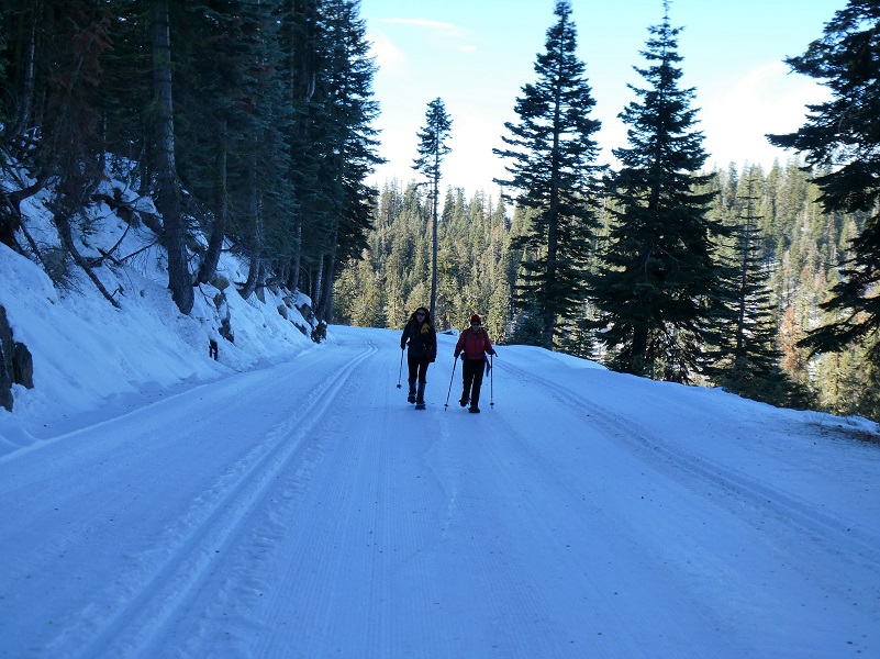
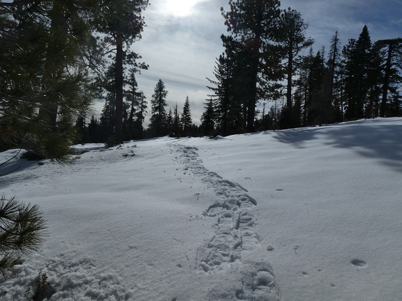
We put on our snowshoes and off we went, making sure we stayed out of the cross country ski tracks on the trail.

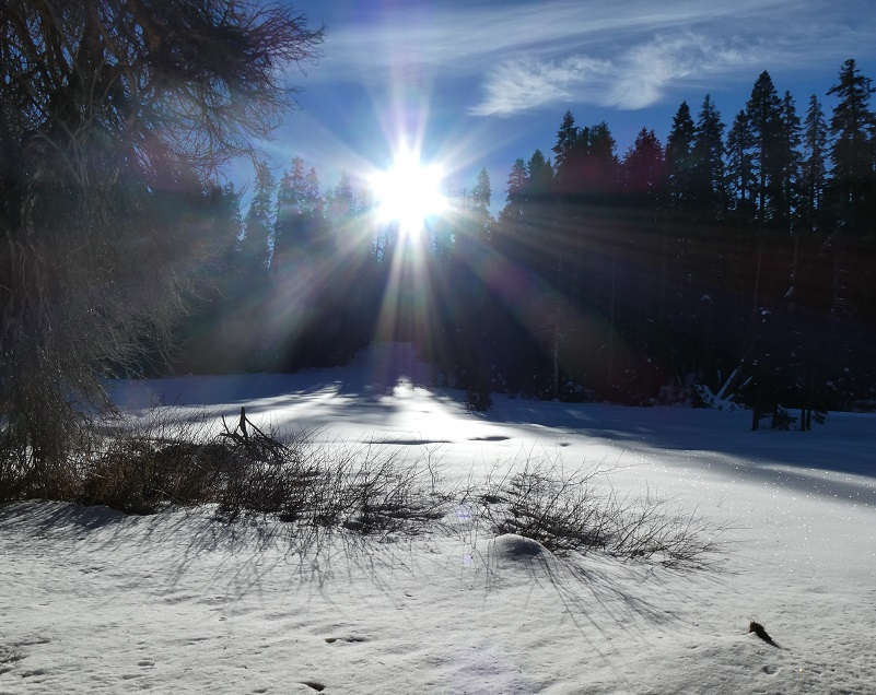
It wasn’t long before we reached Summit Meadow with the early morning sun just coming over the top of the trees.
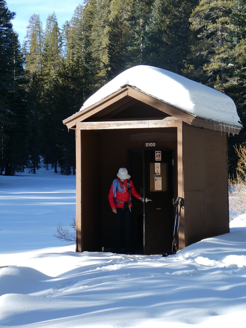
We also checked out the bathroom before heading up the trail.
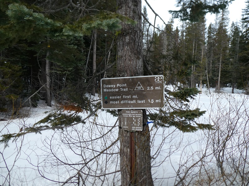
There are a couple of routes to snowshoe into Dewey Point. The Ridge Route #14 intersects Glacier Point Road just west of Summit Meadow and the Meadow Route #18 intersects Glacier Point Road just east of Summit Meadow. We figured that we would be breaking trail so chose the easier way in via the Meadow Route but sometimes we do a loop, going in one trail and out the other.

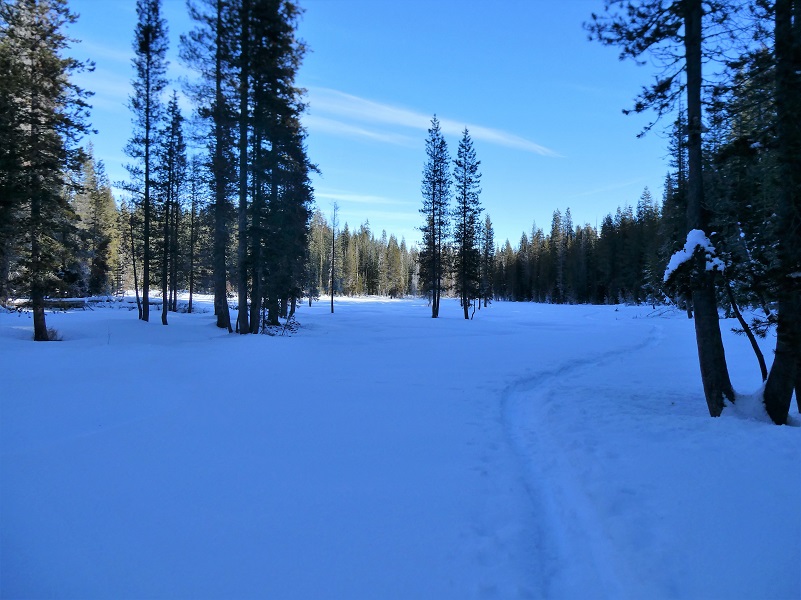
A couple of tracks had already been laid down on the trail so it wasn’t as difficult as I thought it might be breaking trail but early in the morning, the snow was already a bit like cement in spots.
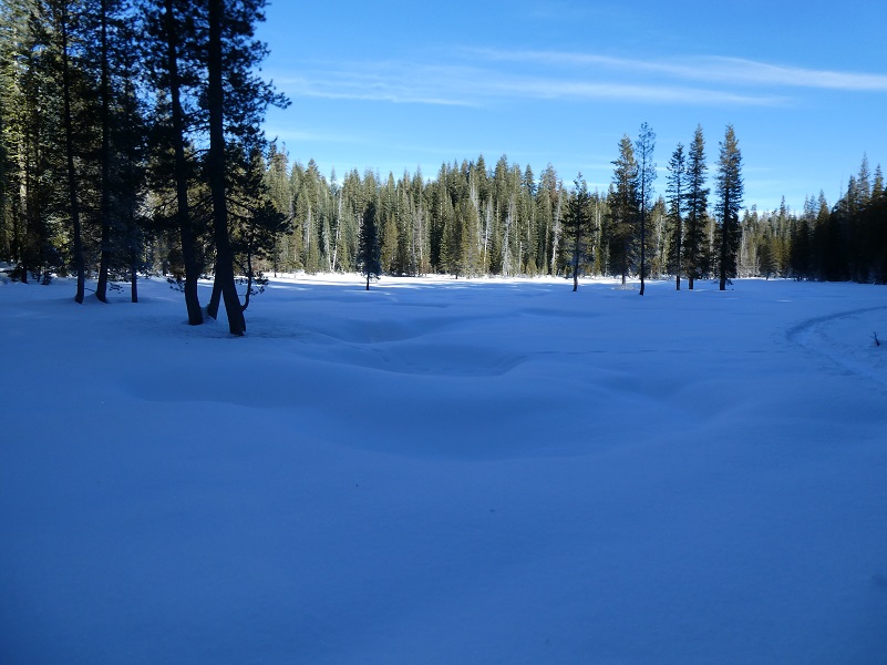
We soon reached a beautiful meadow.

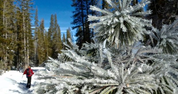
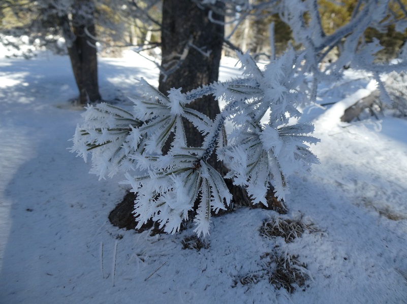
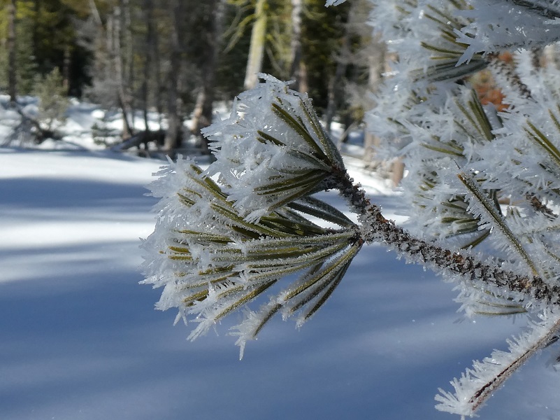
At the top of the meadow, the trees were flocked with ice crystals. Hoar frost forms overnight when it is very cold and there is some humidity. The name comes from Old English wording meaning “showing signs of age” and in this context means that bushes and trees look like they have white hair on them. There are different types of hoar frost and this type is known as air hoar when the frost is deposited above the ground on tree branches and plant stems. We also saw surface hoar, which is ice crystals deposited on the surface of previously frozen snow or ice. The patterns and crystals were beautiful and all unique.
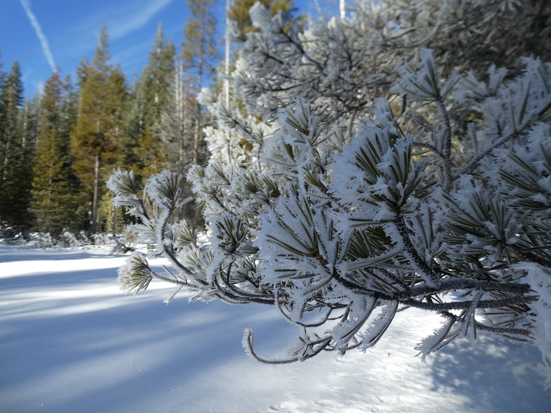
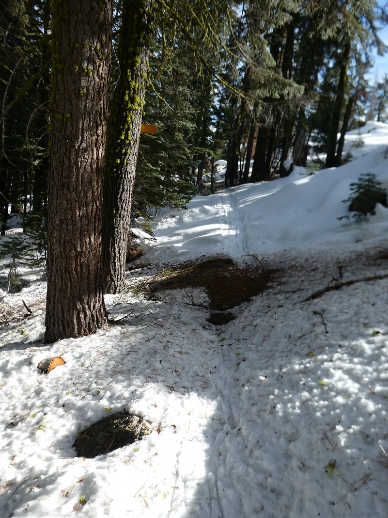
We continued on up the trail.
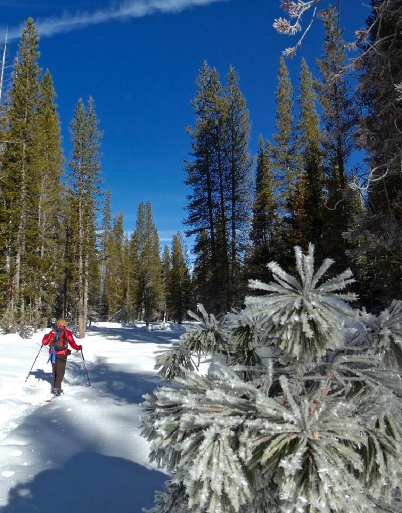
Photo by Debra Sutherland
As we reached a rise, we spotted a cairn or trail marker that someone had put a lot of effort into.


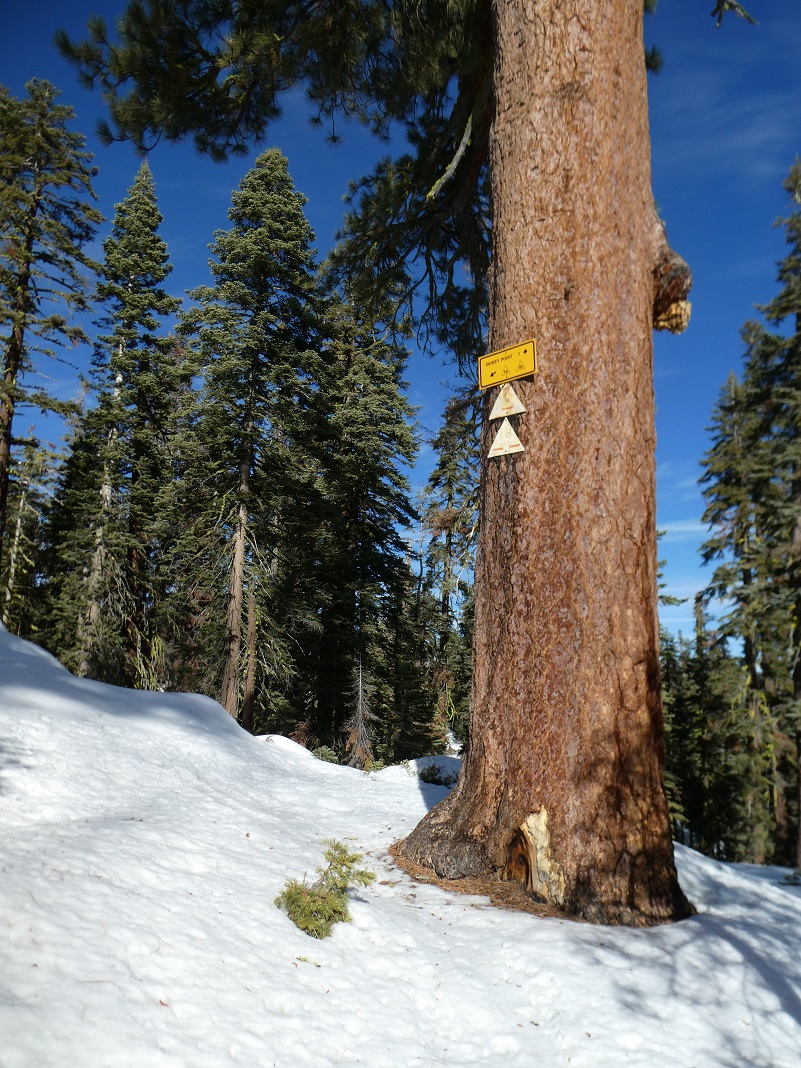
We reached the junction with the Ridge Trail after about 2.5 miles and followed the sign and trail to Dewey Point.
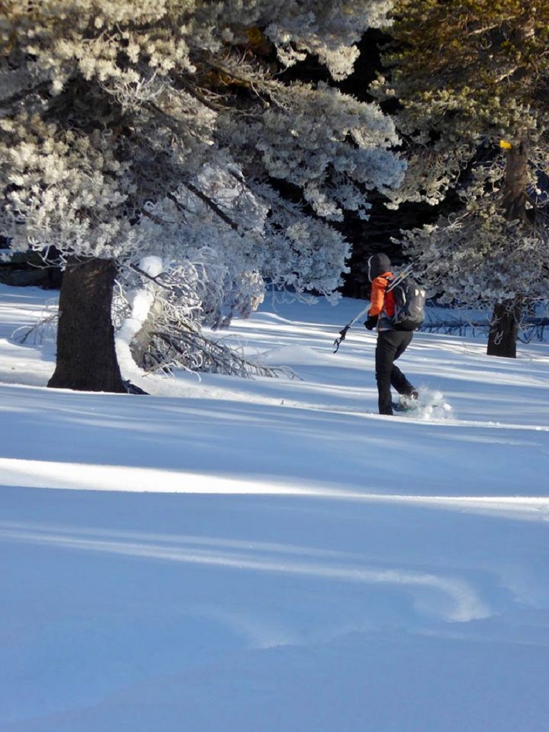
Photo by Gail Gilbert
And it wasn’t long before we reached Dewey Point.
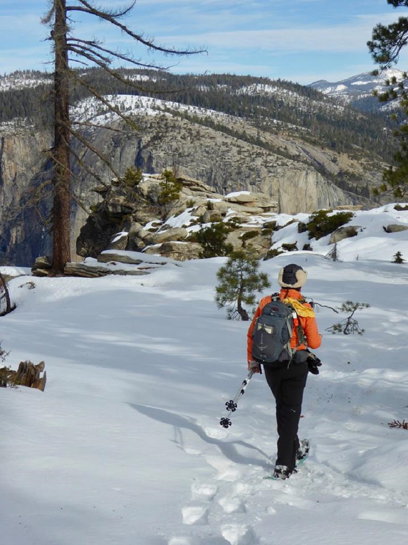
Photo by Gail Gilbert
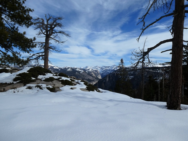
I just love the views from Dewey Point looking up Tenaya Canyon and into the high country.
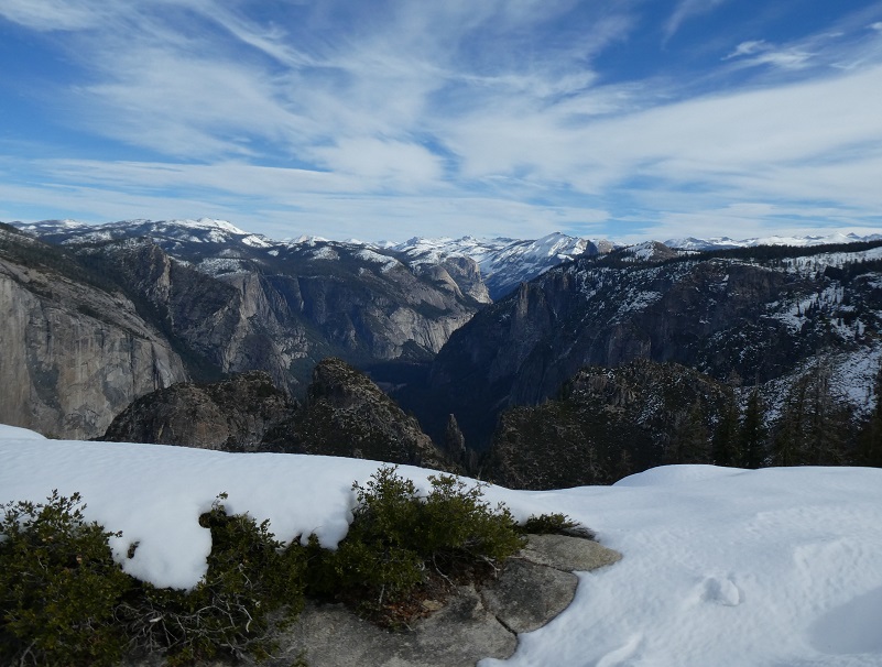
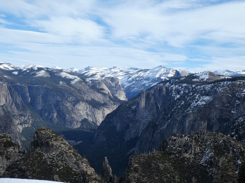
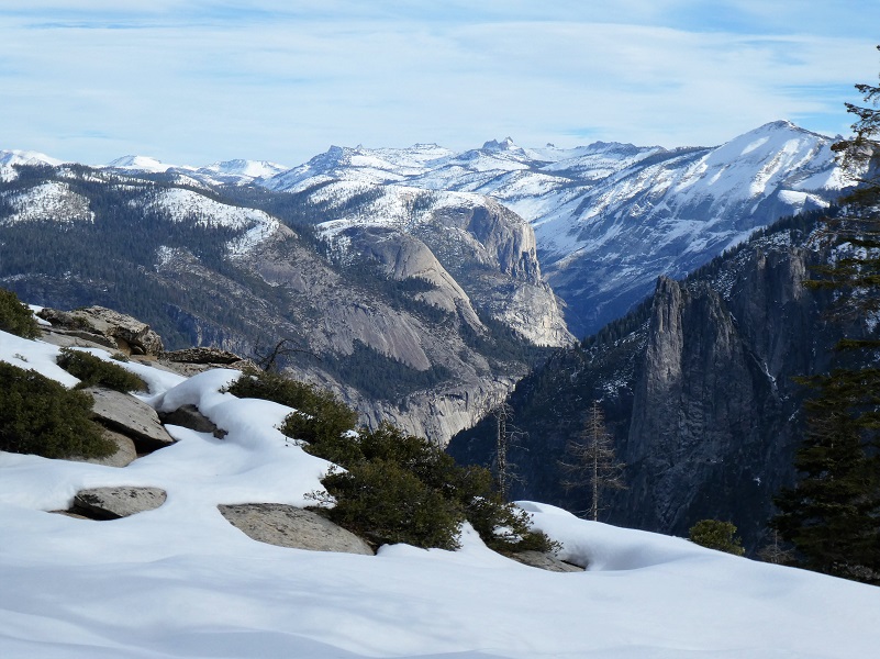
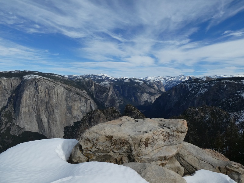
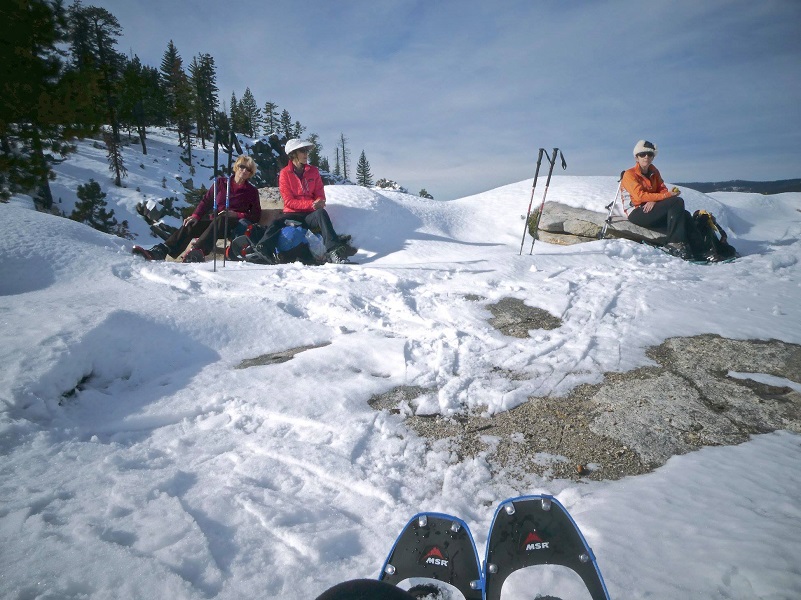
Photo by Debra Sutherland
We sat down, ate our lunch and just enjoyed the views for a while.
And we couldn’t resist the temptation to take a few pictures of us with those views as a backdrop.
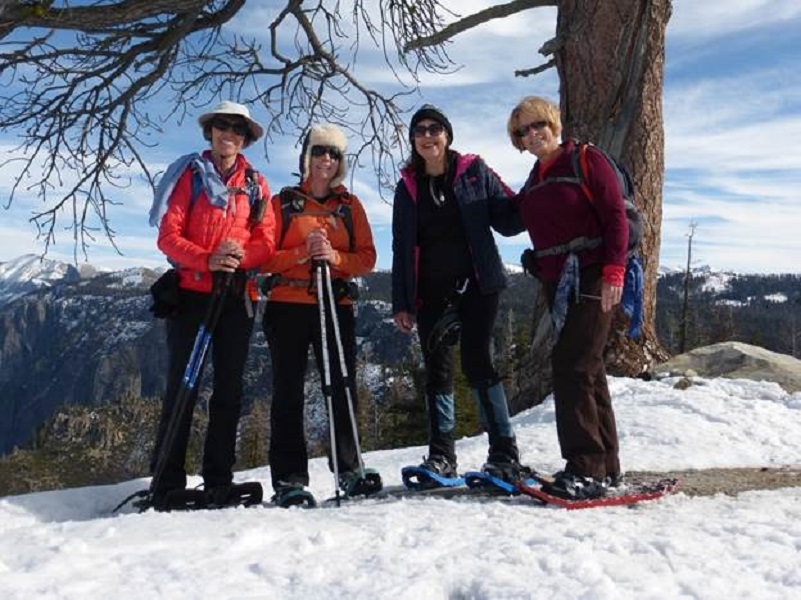
Photo by Debra Kincade
It was soon time to head back and we hiked out the same way we had come in.
 The temperatures had increased a bit and some of the snow was melting, leaving a few dirt patches. These dirt patches were small and easy to cross, nothing the next scheduled storm won’t repair.
If you are interested in snowshowing out of Yosemite Ski & Snowboard Area, they rent snowshoes and there are even guided snowshoe hikes. They are open through April 1, 2018 as conditions permit. You can also check out their webcam, along with the rental and snowshoe hikes and current conditions at the Yosemite Ski & Snowboard Area Page here. Yosemite National Park has some great information on how you can safely enjoy winter sports at the link at the end of the blog. You can also access a PDF of their Glacier Point Road Winter Trails brochure on this link, which includes a map of the trails in the area with safety information.
Dog Hike? No
Dogs are not allowed on this Trail.
Where Pets Are Not Allowed
- On trails, including the trail to Vernal Fall (however, pets are allowed on the Wawona Meadow Loop)
- On unplowed roads covered in snow
- In undeveloped and wilderness areas
- In public buildings
- On shuttle buses
- In lodging areas
- In all walk-in and group campgrounds/campsites, including Camp 4
- In any other areas, as signed
These regulations protect both pets and wildlife from disease and each other. The National Park Service has prohibited pets on trails for many years. In particular, some pets chase wildlife, pollute water sources, and can become defensive and dangerous in unfamiliar surroundings. Pet owners have the burden to assure their pet does not damage the park values for others in those areas where pets are allowed.
Yosemite Hospitality operates a dog kennel in Yosemite Valley from approximately late May through early September. Written proof of immunizations (rabies, distemper, parvo, and Bordetella) must be provided. Dogs must be at least 20 pounds (smaller dogs may be considered if you provide a small kennel). You can get more information about the kennel by calling 209/372-8326.
Map, Profile and Doarama:
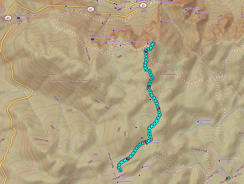
Dewey Point Snowshoe Topographic Map
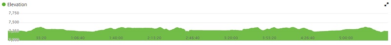
Dewey Point Snowshoe Profile
Prior Blogs in the Area:
Snowshoeing to Dewey Point March 12, 2018
Hiking from Tunnel View to Dewey Point January 12, 2018
Snowshoeing from Chinquapin to Monroe Meadows November 30, 2016
Snowshoe to Dewey Point . . . Again December 30, 2015
Dewey Point Snowshoe Hike February 17, 2014
Tunnel View To Dewey Point Hike January 8, 2014
Snowshoe to Dewey Point January 22, 2013
Sources:
Glacier Point Road Winter Trails
