MOUNTAIN AREA — The National Weather Service (NWS) says a Winter Storm Warning is in effect for the Central Sierra above 6,000 feet from 5 p.m. on Saturday, May 18 through Sunday, May 19 at 11 p.m.
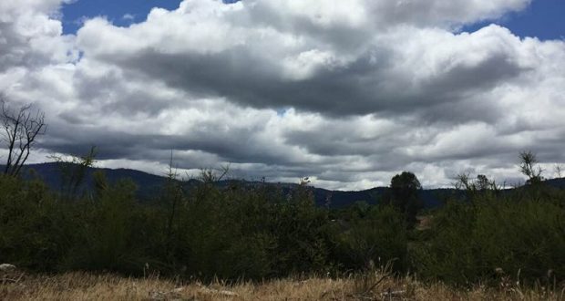
Unsettled weather continues over the next few days with areas of rain, snow, and wind across central California, according to the NWS. A few strong thunderstorms will also return to the San Joaquin Valley by Sunday afternoon.
Rain is expected to start over the northern part of the district by late this afternoon and spread south tonight. Much of the precipitation will fall tonight and into early Sunday morning. By Sunday afternoon the atmosphere will be unstable and showers will continue Sunday night with just a few lingering showers over the Sierra Nevada by Monday afternoon, May 20. Snowfall amounts from this system will range from 8 to 12 inches in the Sierra above 6,000 feet, with up to 20 inches above 8,000 feet.
The NWS says we don`t get much of a break before the next system arrives on Tuesday. This system does not appear to have as much moisture with it as it moves inland over Northern California before dropping south into Central California. However, it will still bring a chance of showers and afternoon/evening thunderstorms to area Tuesday.
Winter Storm Warning
The National Weather Service has issued a Winter Storm Warning for the Central Sierra for snow above 6,000 feet. The storm watch is in effect from 5 p.m. Saturday through 11 p.m. Sunday evening and includes the areas and towns of Tuolumne Meadows, Bass Lake, Fish Camp and Wawona. Snow will continue through Sunday morning with snow levels down to 5,000 feet.
A Winter Storm Warning for snow means severe winter weather conditions will make travel very hazardous or impossible. If you must travel, keep an extra flashlight, food and water in your vehicle in case of an emergency.
Periods of heavy snow expected. Total snow accumulations of 8 to 12 inches above 6,000 feet are expected, with as much as 20 inches accumulating above 8,000 feet in the Sierra. Snow covered roads and winter driving conditions are likely above 6,000 feet with chain restrictions. Travel delays are possible along with some road closures. Hikers and campers should expect gusty winds, blowing snow and dangerous wind chill temperatures over the high Sierra tonight through Sunday.
National Weather Service Winter Storm Watches and Warnings

