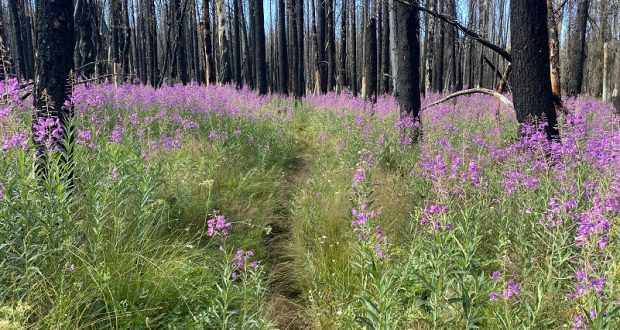
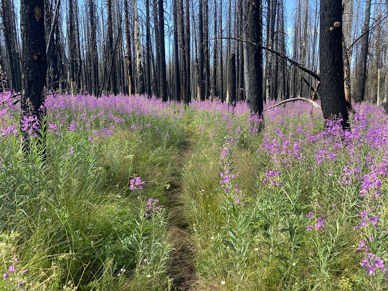
Fireweed was the star of the wildflower show on my looped hike from Bridalveil Campground through Empire Meadows. A sea of brilliant pink with crazy billowy blooms were throughout the Empire Fire burn. Wildflowers are putting on a tremendous show right now in the meadows off of Glacier Point Road in Yosemite National Park and if you want to see this explosion of wildflower colors, get there now!
Where: Yosemite National Park
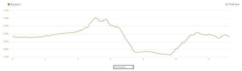
Distance: 13.28 Miles (but you can go shorter)
Difficulty: Easy to Moderate
Elevation Range: 5,813′ – 7,020′
Date: July 28, 2021
CALTOPO: Looped Hike From Bridelveil Campground Along Empire Meadows
Dog Hike? No
I headed into Yosemite National Park via the Wawona Entrance Gate, passing through the gate before it was staffed. I had already printed out my Day Use Entry Pass and since the gate wasn’t staffed this early, picked up one of the temporary white slips at the Entrance Station to fill out and place on my dashboard. If you aren’t aware, Yosemite National Park has implemented a Temporary Day Use Reservation system. Day Use Entry Passes are validated at the park entrance gate on the reservation date and can be used for 3 days of entry. There are some exceptions but reservations are required to enter Yosemite for day and overnight trips and you get them through Recreation.gov. If you have questions about those exceptions or changes, you can also check out Yosemite’s How will COVID-19 affect my visit?
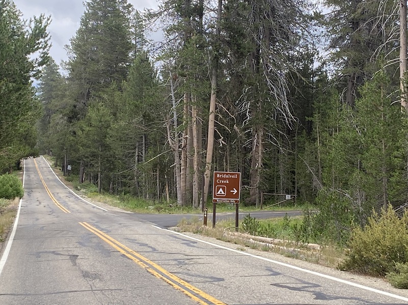
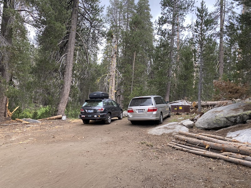
I drove up Glacier Point Road about eight miles to the sign that pointed to Bridalveil Campground, parking across the street at the McGurk Meadows Trailhead parking area. I stashed my ice chest in the bear box, sprayed down with mosquito spray because I had heard they were very bad but they weren’t on my hike. I started walking to the paved road that leads to Bridalveil Campground.
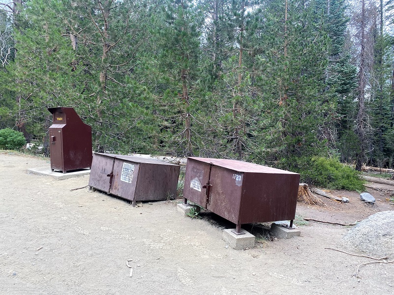
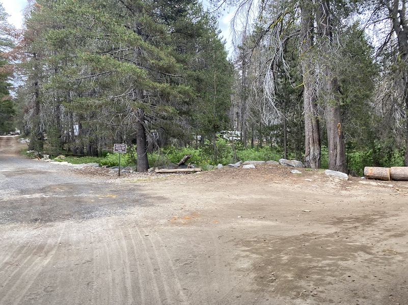
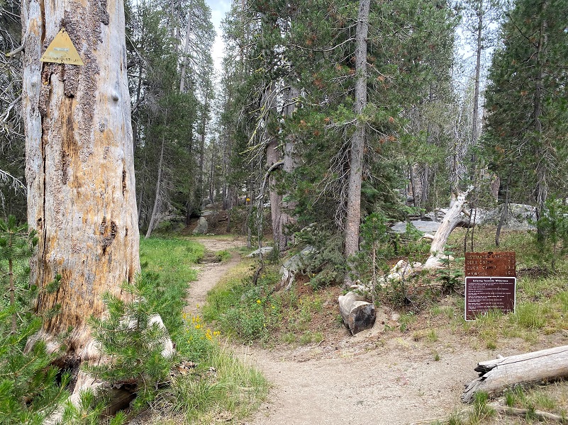
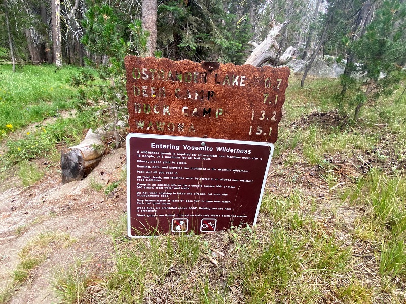
Following the signs to the horse campsites for a little under a mile, there is a very small parking area on the right hand side, with bear boxes, just before to the trailhead that led me to my adventure. But this trail also leads to other destinations such as Ostrander Lake and Wawona.
As soon as I started up the trail, I started seeing wildflowers.
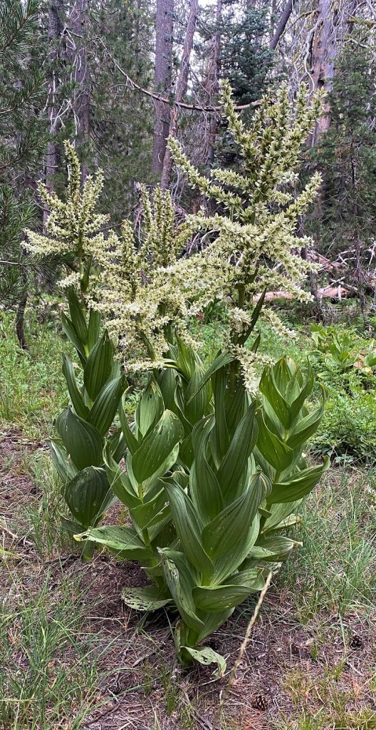
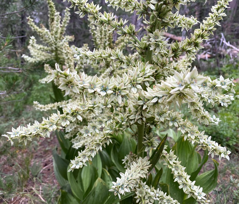
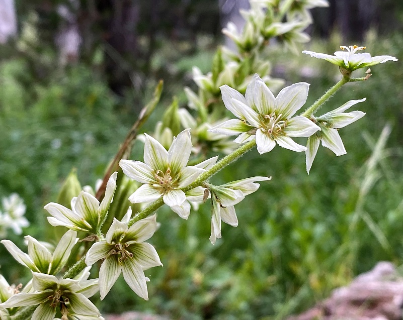
Corn Lilies, also known as California False Hellebore and Skunk Cabbage, were in full bloom, some of them taller than I was. The leaves of this plant are almost hypnotic when they first unfurl, creating swirling green patterns. The flowers are just as beautiful but this plant is especially poisonous to sheep and other livestock. They recommend that people also avoid consuming this plant.
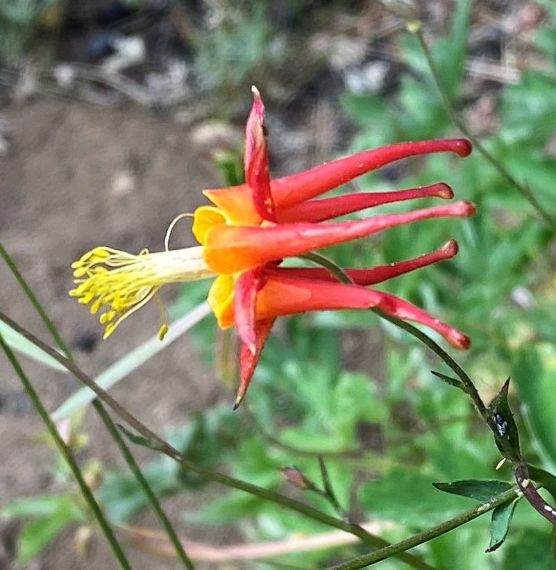
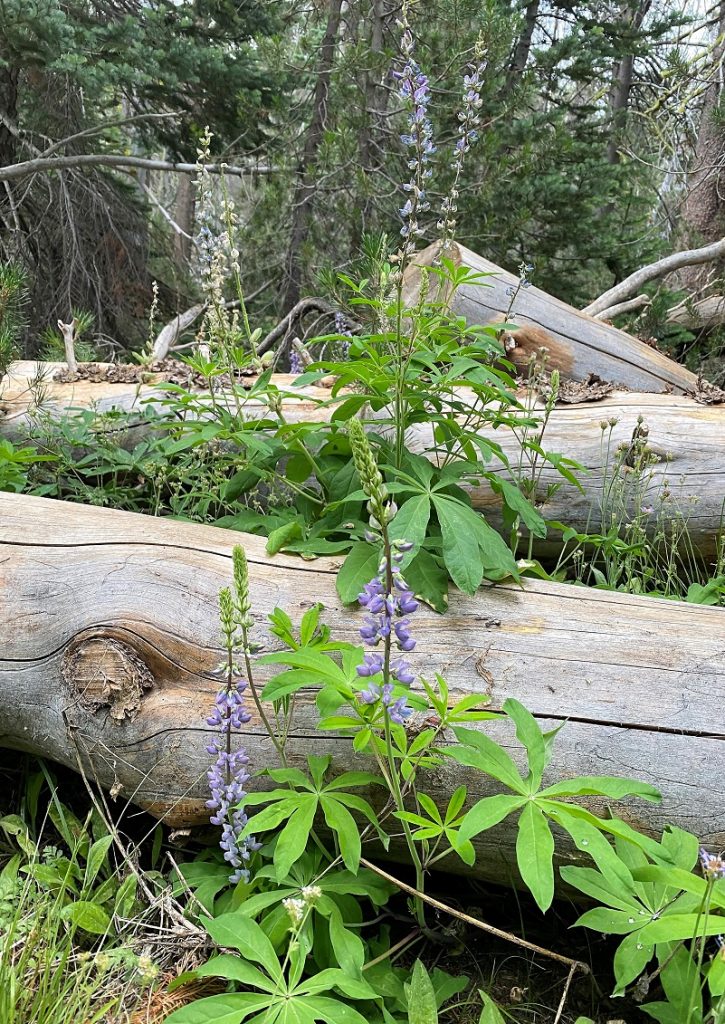
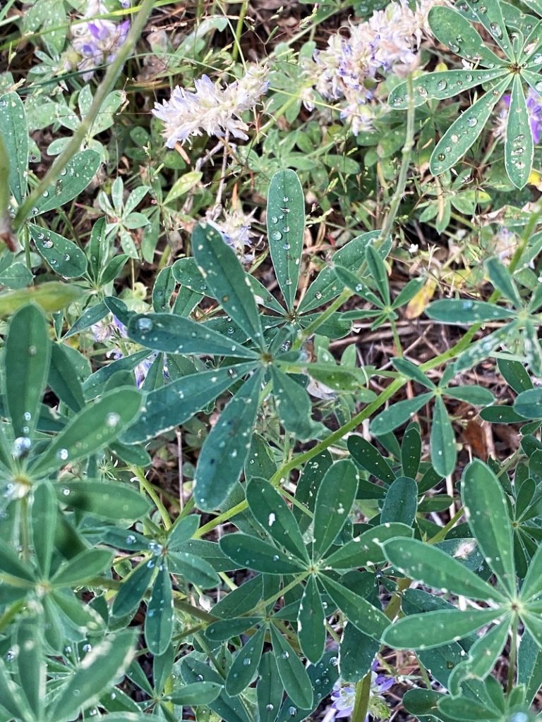
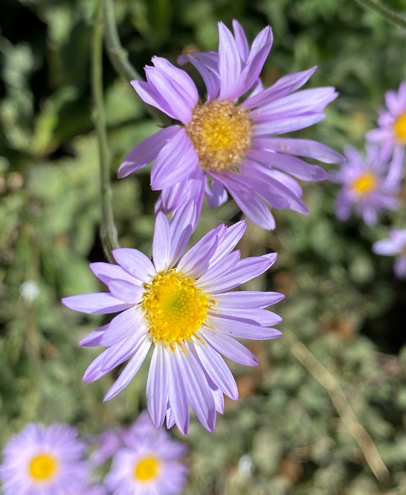
Plenty of other wildflowers were also blooming along the trail such as columbine, mint and paintbrush.

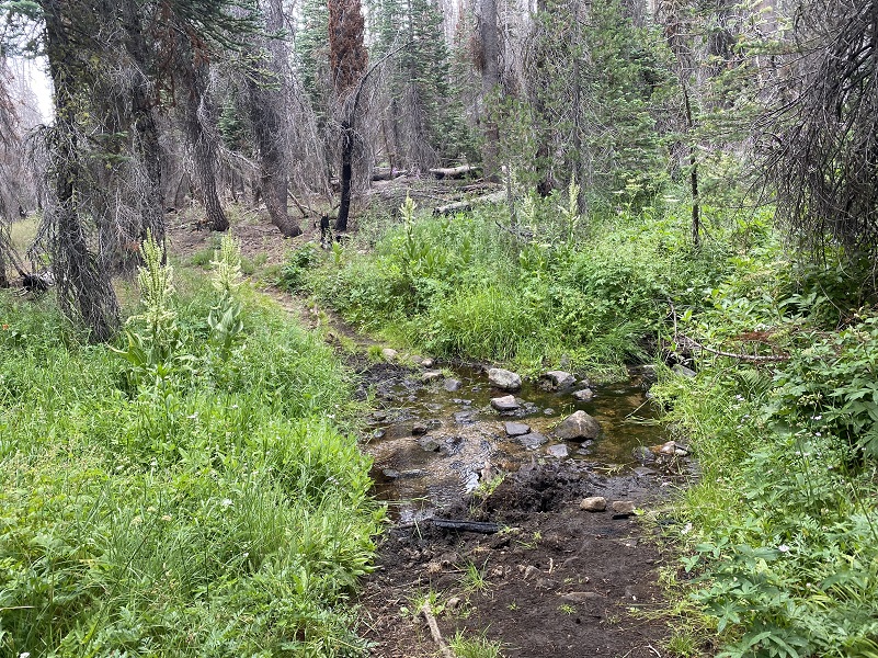
There were a few small creeks to cross.
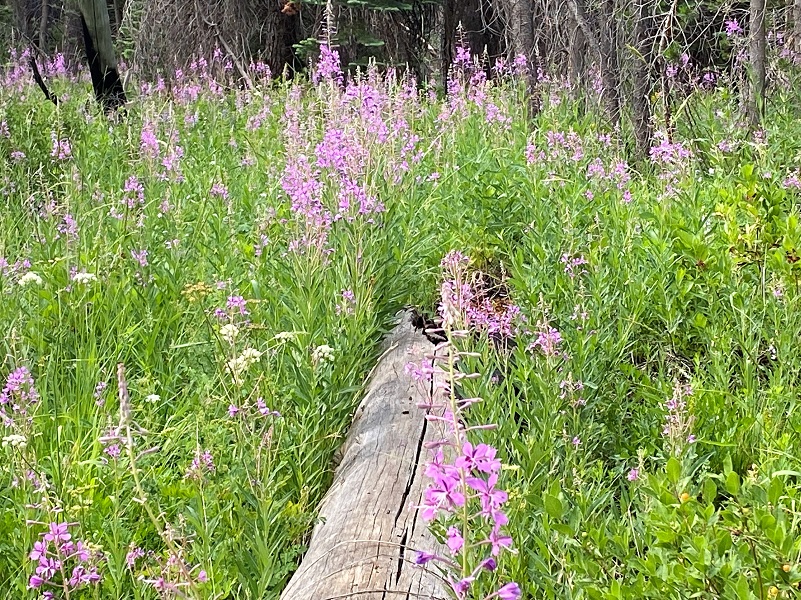
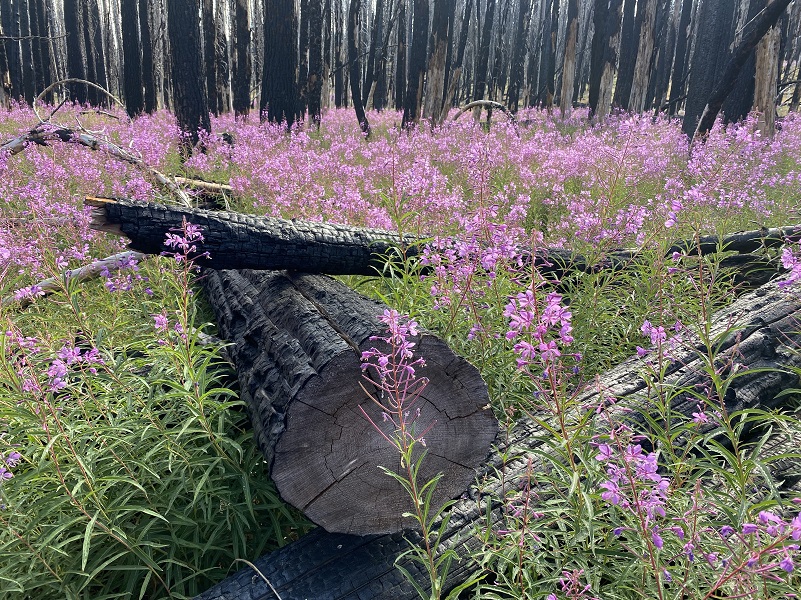
The big star of the show on my hike was the fireweed, which can come in after a disturbance such as fire. Each of its seeds has a tuft of cottony fibers which uses the wind to disperse it. It often forms large, colorful patches since it can spread by underground stems as well as by seeds. Fireweed is widely distributed throughout the west from montane to timberline habitats and extends north into Alaska where it comes in as glaciers recede. Fireweed was important to native people around the world. Choice patches of fireweed were even owned by high-ranking families in British Columbia. Tea was made from the leaves. High in vitamins A and C, fireweed shoots provided a tasty spring vegetable. Flowers yield copious nectar that yield a rich, spicy honey. Today, fireweed honey, jelly, and syrup are popular in Alaska where this species grows in abundance. And contrary to some beliefs, it is not Alaska’s State Flower. The Forget-Me-Not has that honor.


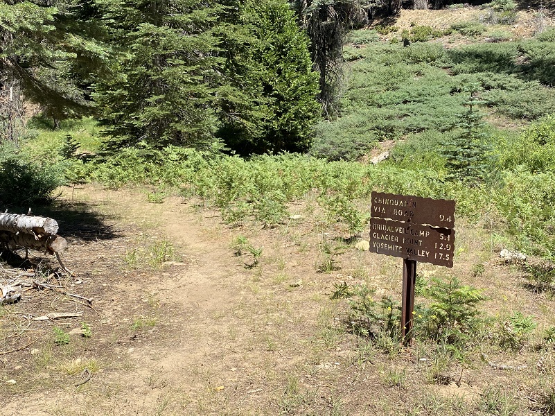
All of the main trail signs were located at trail intersections and I followed the signs to Deer Camp.
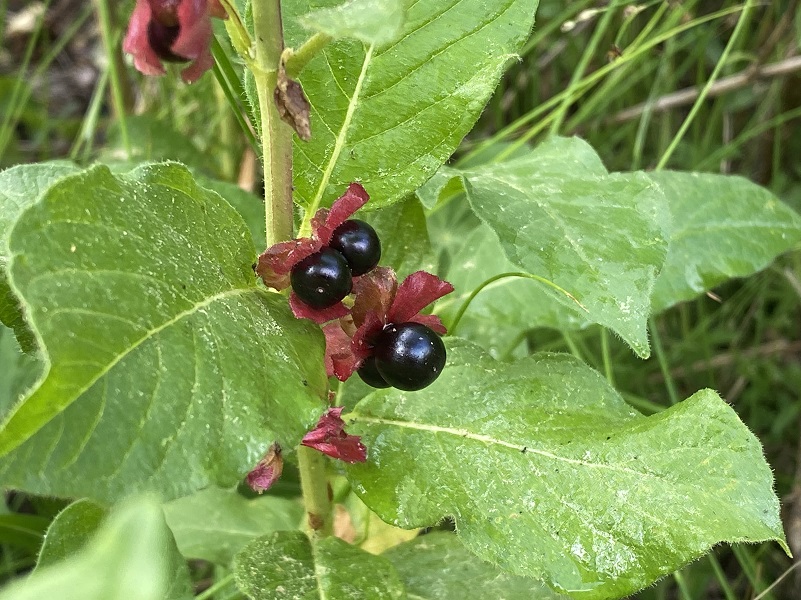
I spotted Coffeeberry fruits tucked in plants along the trail. They are a wild food for many of Yosemite’s animals, including bears, deer and birds.
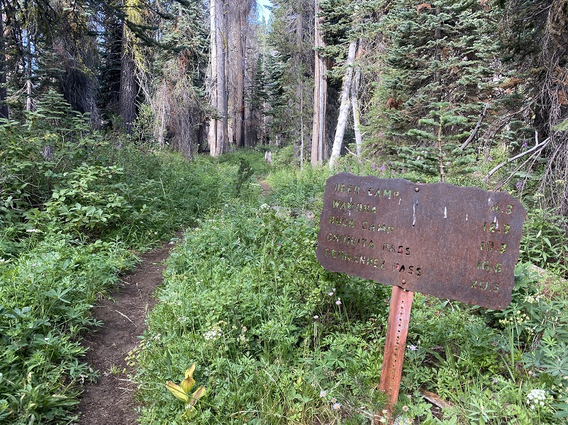 It started sprinkling a little when I reached another intersection and again, I followed the signs to Deer Camp.
Alpine lilies were blooming on stalks higher than my head. These plants are also known as Sierra Tiger Lily, Small Tiger Lily and Small Leopard lily.

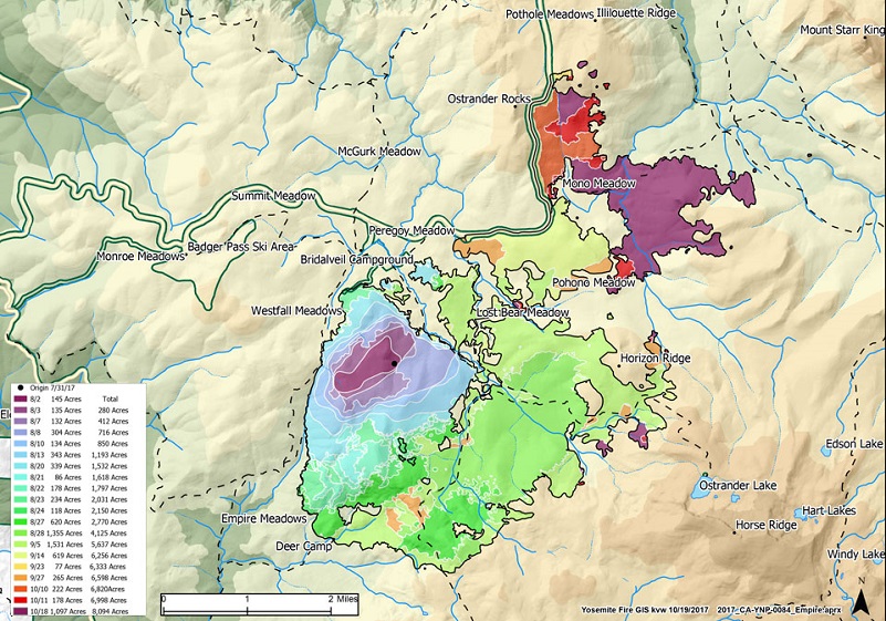 The trail led me into the burned area from the lightening caused Empire Fire that started on August 1, 2017. It wasn’t officially contained until November 27, burning 8,094 acres. Here is a incident map from the fire dated October 19, 2017 to show the progression and perimeter of the fire before it was contained. It isn’t the final map but it gives you a good idea of where it burned compared to my hike.
Beautiful pink fireweed was really putting on a show. Just incredible!
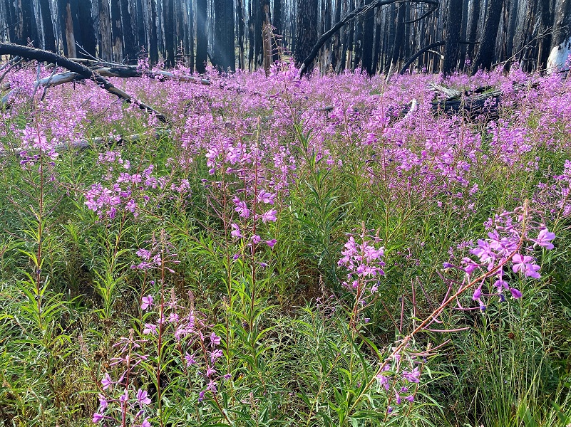
It was so darn beautiful, with colors of white, pink, purple and yellow mixing it up in the lush green growth

Looking back where I had come through standing burned trees revealed views of Mount Starr King, Mount Clark and higher elevations to the east.


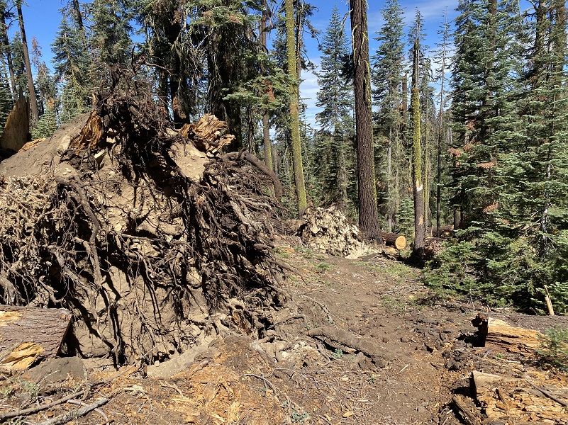
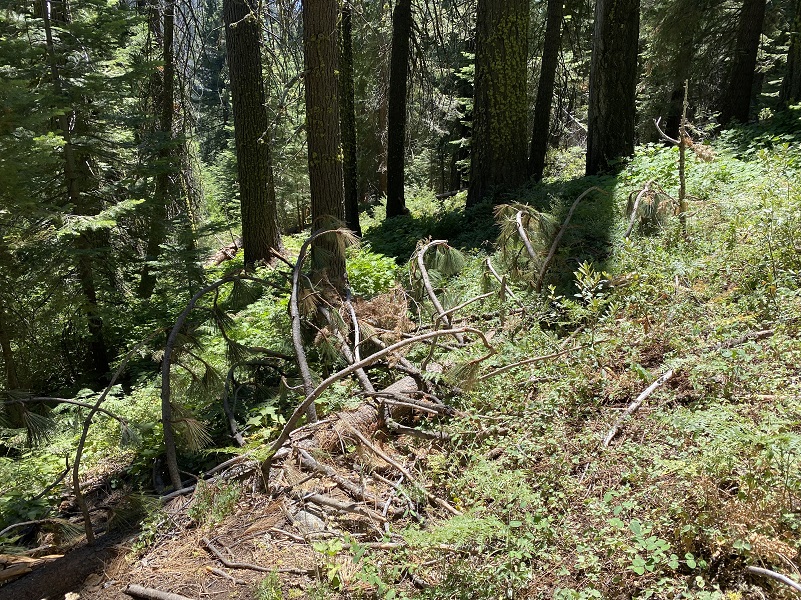
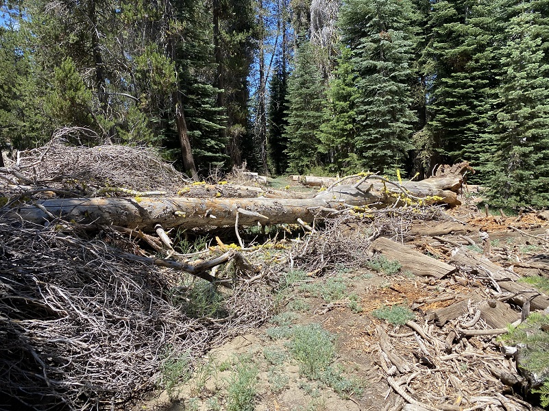
I followed the sign to Deer Camp, then I was skirting the west side of Empire Meadows. I hadn’t visited this area since our January Mono Wind Event and boy, there were many large trees that were blown over.

When I reached the south side, I took a look across the meadow and back where I had come down from.
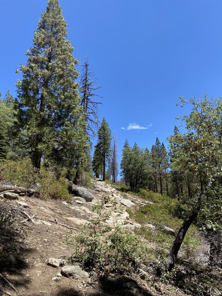
The trail led out of the trees and along a sunnier west slope where I could capture views of the valley and even Wawona Golf Course.

Followed the sign that had Bridalveil Camp on it, it wasn’t long before I reached sections with yellow California Coneflowers taller than I was. The cones alone can reach three inches in height, with the petals drooping another three inches or so downward.
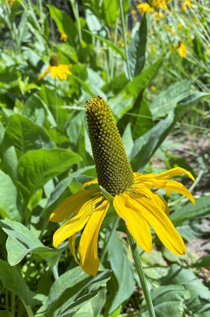
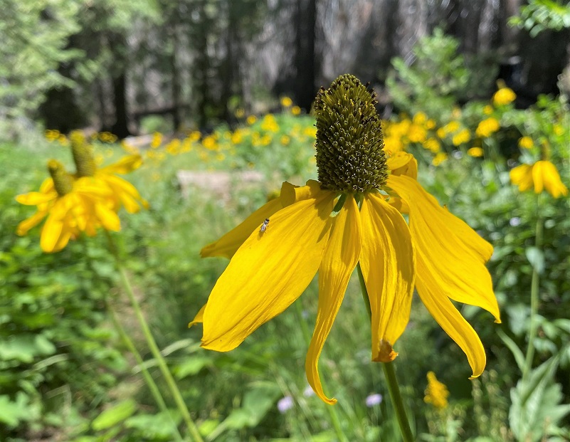
The Coneflowers looked like such happy flowers as they moved with the breeze while butterflies and bugs visited them. How about 10 seconds of Coneflowers swaying in the breeze?
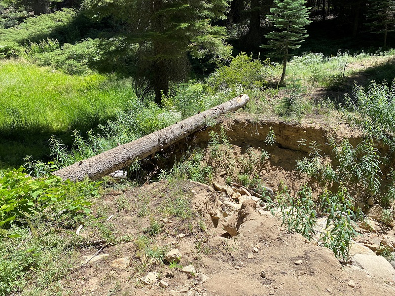
A down log provided the crossing for Alder Creek but there are also options to walk down along the dry creek.
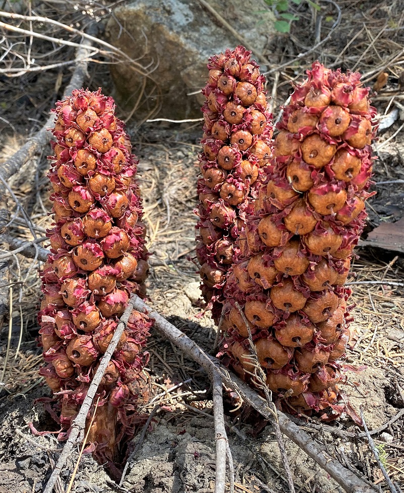
And what was this? It was too late in the year for a prime snowplant but it kind of looked like one but a bit dried up and not as “stalky” as I would expect a snowplant to be at this time of the year. Could it be a relative?
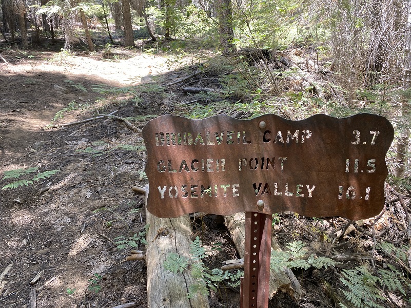
Another trail junction marker and I turned right toward Bridalveil Camp.
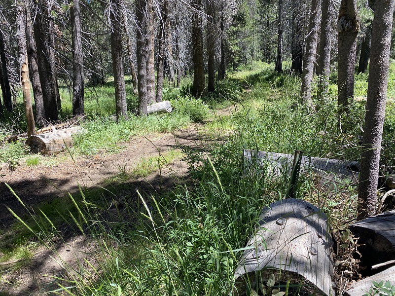
The next section of the trail is uphill and the prior trails had all been cleared of down trees but not this one. I was able to go over or around them fairly easily though.
OK, the next uphill stretch is not my favorite part of this hike and it is why I try to do this hike on a cooler day. It follows above the Alder Creek drainage on a westerly slope with little shade, it is dusty and a bit steep. But it was part of the price I had to pay and there was a nice view as I climbed.
As I reached the upper end of the Alder Creek drainage, I discovered the most down trees across the trail and I could see how that Mono Wind Event had funneled through this notch.

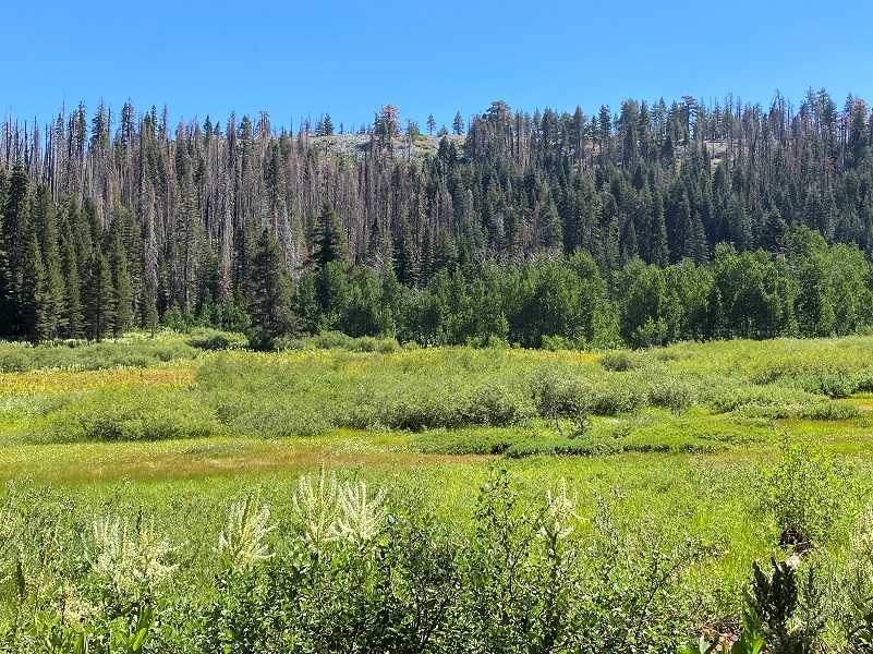
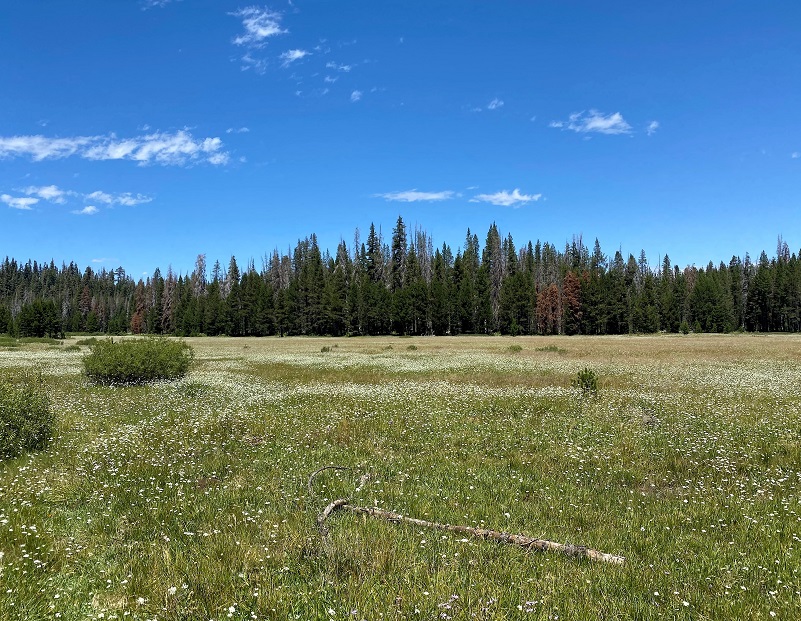
It wasn’t long before I reached Westfall Meadows, crossing it on a lightly used path, more prominent once I reached the other side.
 When I reached the next unsigned junction back to Bridalveil Campground, I headed toward Glacier Point Road where I had parked my car but had to dodge a few down trees along the way.
I saw no people whatsoever on my hike and that surprised me because this loop is so close to the road and the campground, along with it being prime wildflower viewing season. There are several ways that you can see these gorgeous wildflowers without hiking the entire loop that I did. One suggestion is to walk up the road to the campground and take the trail that I did out a ways until you want to turn back. And there are many meadows in this area including McGurk Meadow that are a shorter hike with wildflowers. If you want to see the flowers, now is the time to go.
Dog Hike? No, dogs are not allowed on this trail in Yosemite National Park.
Doarama:
What is a Doarama? It is a video playback of the GPS track overlaid on a 3 dimensional interactive map. If you “grab” the map, you can tilt it or spin it and look at it from different viewing angles. With the rabbit and turtle buttons, you can also speed it up, slow it down or pause it.
Bridalveil Campground Looped Hike Doarama
Map and Profile:
I have a very sad story to share about my GPS stats this week. There weren’t any and that kind of thing happens when you forget to start the tracking on your GPS after you turn it on so I used last year’s hike which was basically the same. CALTOPO has some free options for mapping and here is a link to my hike this week, which you can view or download: CALTOPO: Looped Hike From Bridelveil Campground Along Empire Meadows
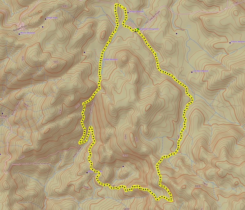
Bridalveil Campground Hike Topographic Map

Glacier Point Area Hiking Map, Yosemite National Park https://www.nps.gov/yose/planyourvisit/upload/glacierhikes.pdf
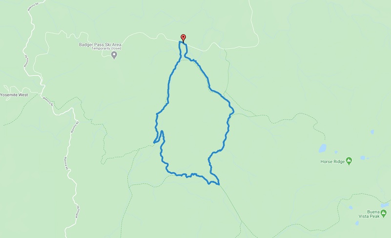
Bridalveil Campground Hike Trail Map
Prior Blogs in the Area:
Hiking From Bridalveil Campground With Wildflowers and Bugs July 23, 2020
Hiking Bridalveil Creek and McGurk Meadow Trails in Search of August Wildflowers August 22, 2019
Hiking Bridalveil Creek Area with Wildflowers July 24, 2017
Lazy Camping at Bridalveil Campground August 3, 2013
Sources:
Yosemite National Park Campgrounds
California Coneflowers Yosemite National Park
Corn Lilies Yosemite National Park

