YOSEMITE – It has been 37 days since the Ferguson Fire began burning in the Merced River Canyon near Savage Trading Post, and today officials have announced that the fire is 100 percent contained at 96,904 acres.
The fire has scorched land on the Sierra and Stanislaus National Forests, inside Yosemite National Park, on BLM holdings, and in Cal Fire’s Madera-Mariposa-Merced Unit.
Though 10 historic structure were lost, no inhabited homes were damaged or destroyed.
Crews have reached a significant milestone, but there is still more work to be done. Firefighters will continue to patrol, mop-up and repair firelines. During the heat of the day, some interior islands of unburned vegetation will continue to ignite, but they are not a threat to containment lines. Resources continue to assess and remove hazard trees along roads, especially on the Wawona Road between Chinquapin and Tunnel View.
All areas of Yosemite National Park are now open to the public with the exception of Highway 41 (Wawona Road) between Wawona and Tunnel View. That final stretch of road is scheduled to reopen on Friday, Aug. 24.
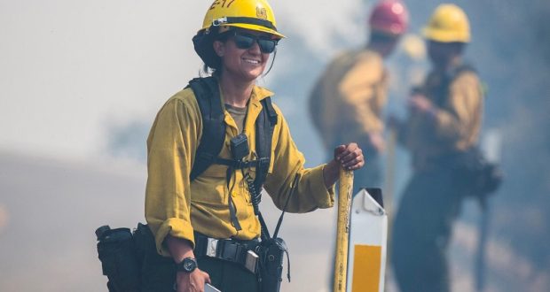
There are currently 881 personnel assigned to the incident.
The Ferguson Fire started on Friday, July 13, at 8:30 p.m., near Savage Trading Post on the south side of the Merced River canyon along Highway 140. The cause remains under investigation.
As of Aug. 14, some 1,254 acres had burned on the Madera-Mariposa-Merced Unit, 65,460 acres on Sierra National Forest, 18,892 acres on the Stanislaus National Forest, and 11,000 acres on Yosemite National Park land.
There have been 19 firefighter injuries reported. There have been two fatalities on the fire; HFEO Braden Varney was killed in a dozer rollover accident on July 14, and Brian Hughes, Arrowhead Hotshot Captain, lost his life on July 29 when he was struck by a tree during a firing operation.
Yosemite National Park
Yosemite National Park is experiencing high fire danger, along with continued hot and dry weather patterns.
Due to the current and predicted fire conditions and fire behavior, the Superintendent of Yosemite National Park has implemented Stage II fire restrictions until further notice is given. Click here for details.
Yosemite Valley reopened to visitors on Aug. 14, at 9 a.m., after being closed since July 25. Visitors can access Yosemite Valley from the El Portal Road (Highway 140), the Big Oak Flat Road (Highway 120), or the Tioga Road (Highway 120).
The Wawona Road (Highway 41) will remain closed from Wawona to Yosemite Valley until Friday, Aug. 24, at 8 a.m., due to ongoing fire activity and firefighter operations. Park visitors should be aware that there is still active fire and smoke on the roads and people should drive with extreme caution.
Delays on the roads are possible due to fire activity and ongoing firefighter operations. There will be limited hours and limited visitor services at park facilities as the park returns to normal operations.
The Mariposa Grove of Giant Sequoias reopened to the public on Monday, Aug. 13, at 9 a.m. Visitors can access the Mariposa Grove via the South Entrance (Highway 41) and park in the newly-constructed parking area.
The free shuttle buses to the Mariposa Grove begin at 9 a.m., and take visitors to the newly-restored Mariposa Grove of Giant Sequoias.
Visitors will be able to travel to the Wawona area via the South Entrance (Highway 41). However, there is no access to Yosemite Valley via Highway 41.
The Glacier Point Road remains closed and is expected to open when the Wawona Road (Highway 41) reopens.
The Hetch Hetchy Road and dam reopened on Saturday, Aug. 11. Hours will be 10 a.m. to 9 p.m.
For updated 24-hour road and weather conditions for Yosemite National Park, please call 209-372-0200, press 1 and press 1 again. Updated information is also available on the park’s website at www.nps.gov/yose and on the Yosemite National Park Facebook page.
Air quality issues
For information on air quality specific to Mariposa County visit http://www.mariposacounty.org/index.aspx?NID=1434. For additional information on air quality you can visit the AirNow website or the air fire smoke page.
Residents can check the San Joaquin Valley Air Pollution Control District’s wildfire page at www.valleyair.org/wildfires for information about any current wildfires and whether they are impacting the Valley. The District’s Real-time Air Advisory Network (RAAN) provides localized air quality data from an extensive air-monitoring network which allows Valley residents to track PM at any Valley address by visiting myraan.com.
General Information
As of July 21, there are fire restrictions in place on the Sierra National Forest. Please read and be informed before you use any type of fire in the forest.
Operations on the fire are being conducted under a joint delegation of authority from the Sierra and Stanislaus National Forests, and Yosemite National Park. The Incident Command Post for the Ferguson Fire is located at the Ahwahnee Hills Regional Park.
The information line for the Ferguson Fire has changed. The phone number for media and the public is 530-377-6424.
Stanislaus National Forest Supervisor Jason Kuiken has signed a forest order closing several Groveland Ranger District roads and trails impacted by the Ferguson Fire. This closure is based on the current and expected fire behavior and will be in effect until Sept. 30, or until replaced or rescinded. Click here for details and a map of the closure.
Be sure you are signed up to receive alerts when wildfire or other emergencies threaten.
- To sign up for the Mariposa Sheriff’s Office Emergency Alert System visit https://local.nixle.com/register.
- To register for the Madera County Sheriff’s Office Emergency Alert System visit mcalert.org.
Evacuations
- There are no current evacuations.
Road and Trail Closures
- Highway 140 reopened to the public on Aug. 14, at 9 a.m.
- Highway 41 reopened on Monday, Aug. 13, for access to the Mariposa Grove of Giant Sequoias and Wawona. There is a hard closure from Yosemite West to Tunnel View – residents, employees, contractors, and those with reservations only are allowed as far as Yosemite West. The roadway is expected to open on Friday, Aug. 24, at 8 a.m.
- Glacier Point Road is closed and is expected to open when Highway 41 reopens.
- Big Oak Flat Road (Highway 120) into the Valley reopened to the public at 9 a.m. on Aug. 14.
-
Pohono Trail along the south rim of Yosemite Valley is closed at Tunnel View.


