We had headed over for the “Superbloom” but how can you not go to Death Valley and see more? Rugged, wildly colored canyons and mountains where miners seeked their fortunes and lonely sand dunes called to us to explore them.
Many wonderful books have been written about Death Valley and I am not about to attempt to do that in this blog, but wanted to share a sampling of the beautiful places we saw on our recent trip. More pictures than words on this blog!
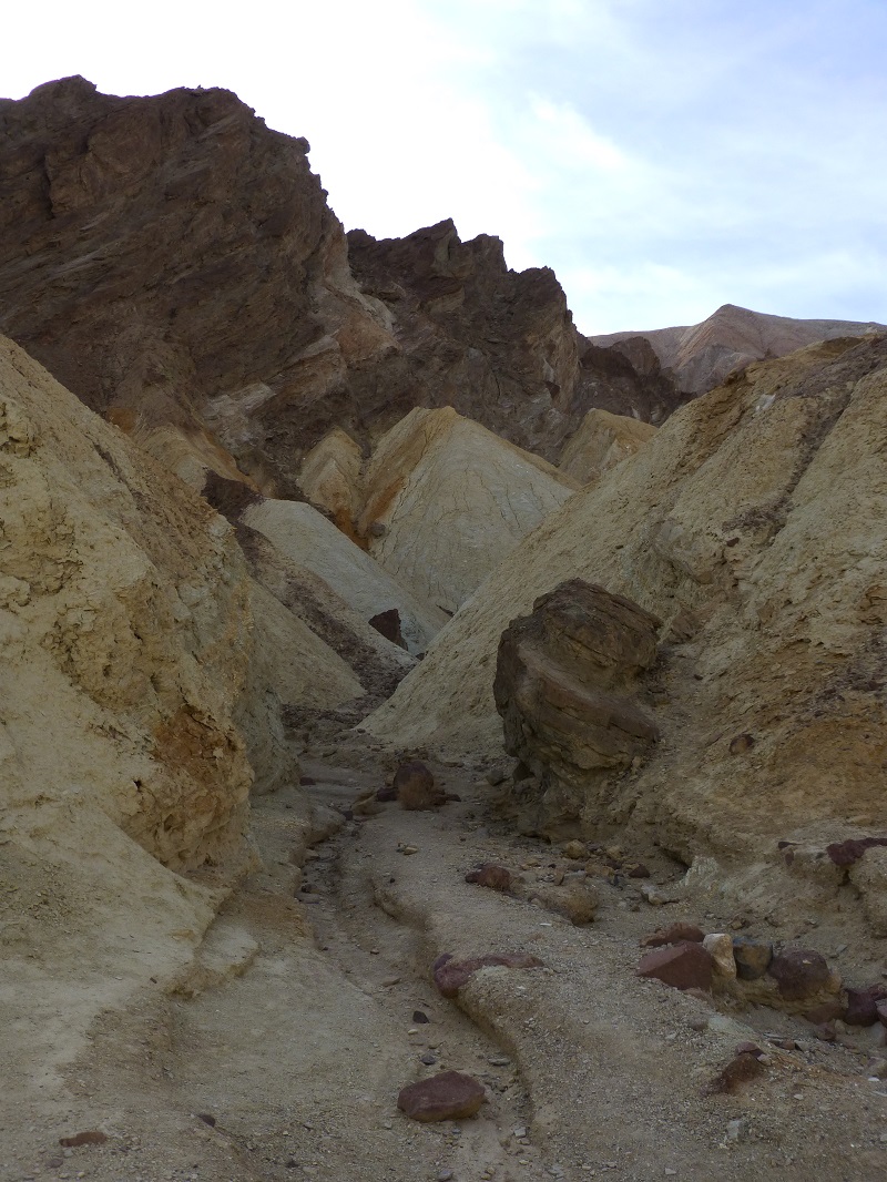
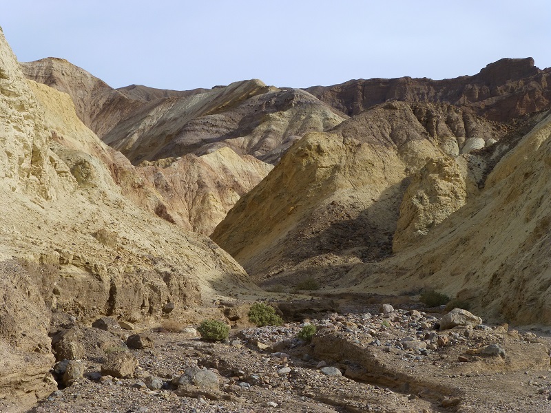
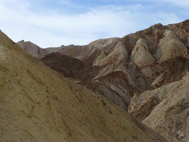
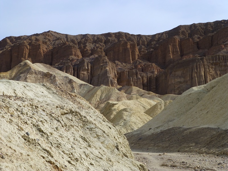
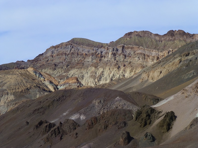
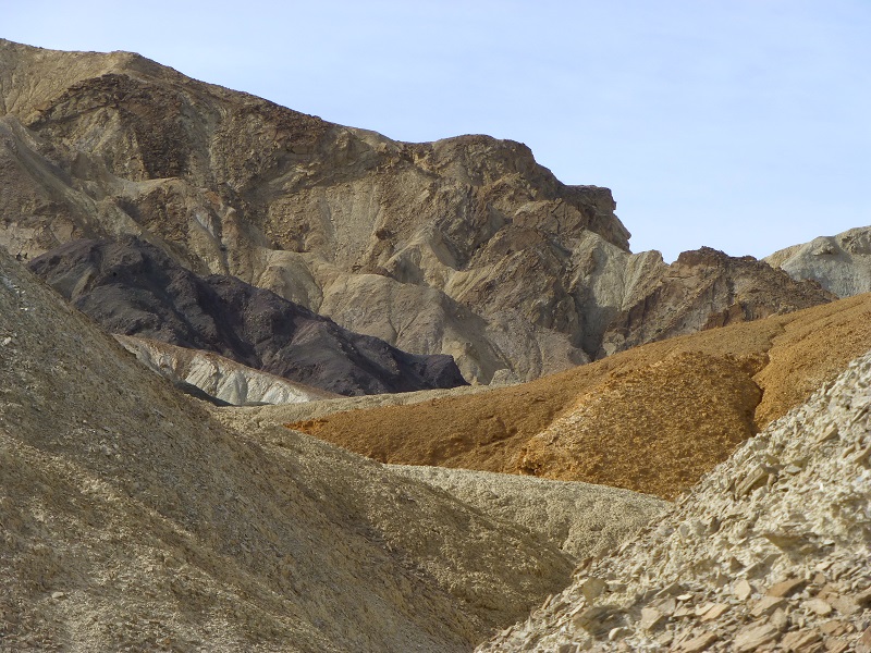
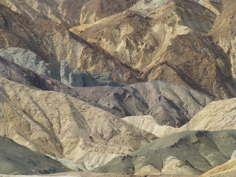
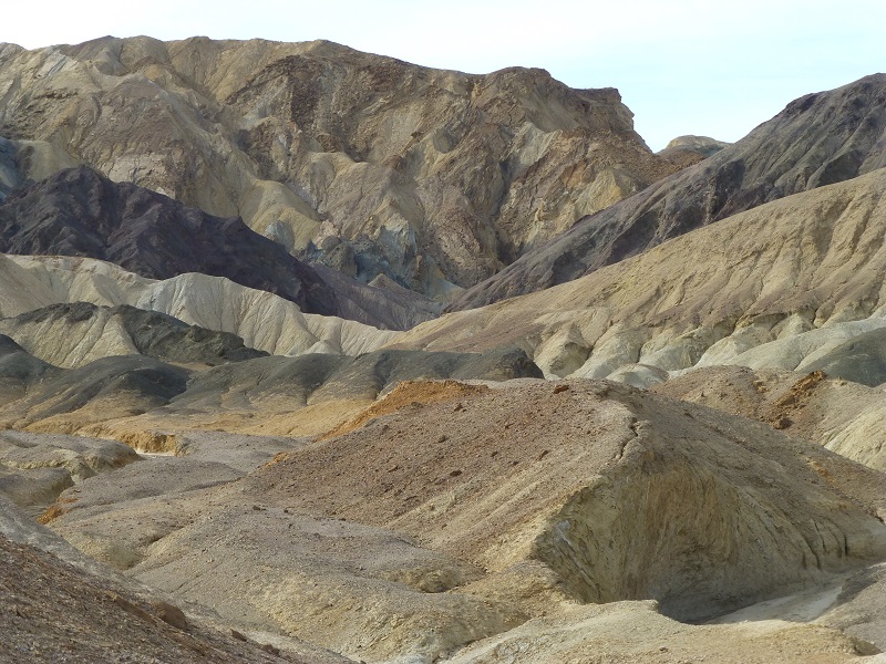
We chose the cooler morning to hike through Golden Canyon, adding Gower Gulch to make a 4 mile loop. Beautiful and colorful hills led us through narrow canyons and even by an old mine.

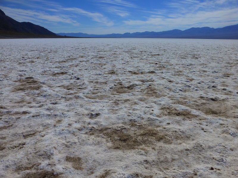
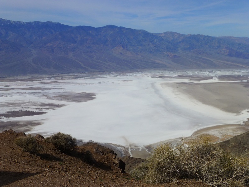
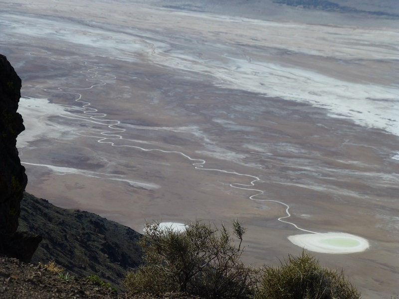
The Badwater Basin is the lowest elevation in North America at 282 feet below sea level. Salt remains on the soil surface as water has evaporated over the ages. It is also the end of the line for the Armargosa River.
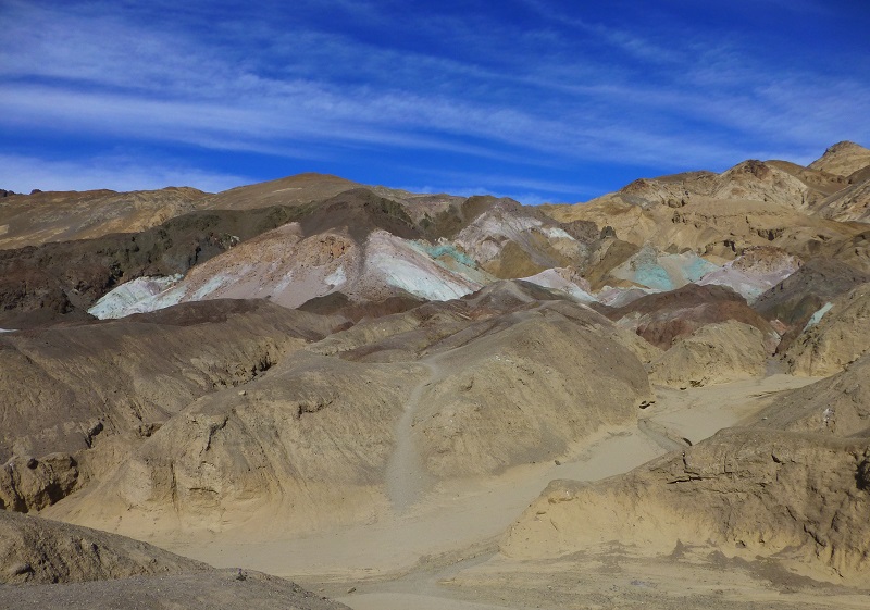
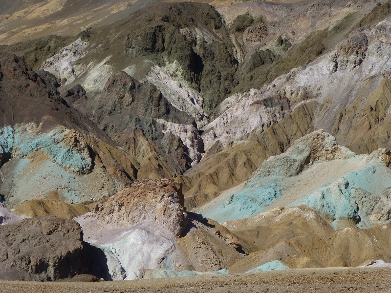
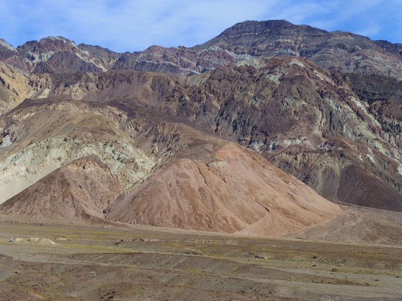
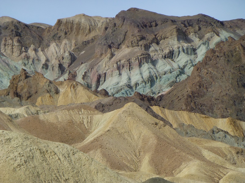
Artist’s Pallet is known for its beautiful variety of colored rocks and mountains.
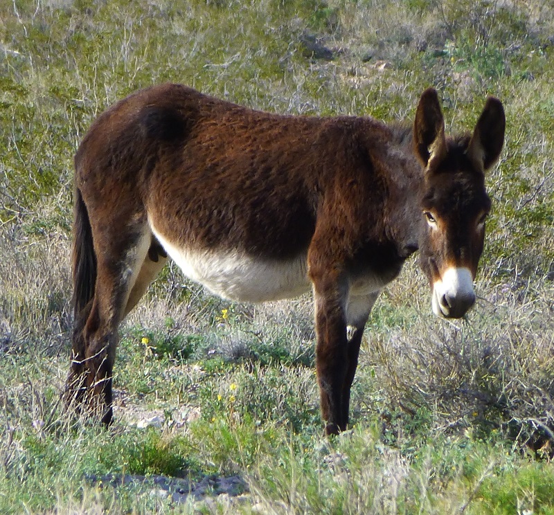
On our way out of the park, we came across a small herd of wild burros. What a surprise! Turns out they hung out at my campsite each night, waking me up a couple of times a night with their lively discussions.
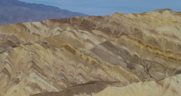
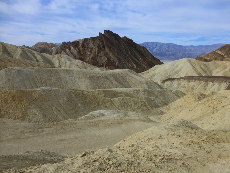
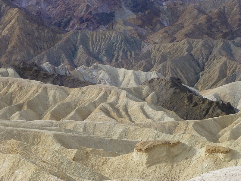
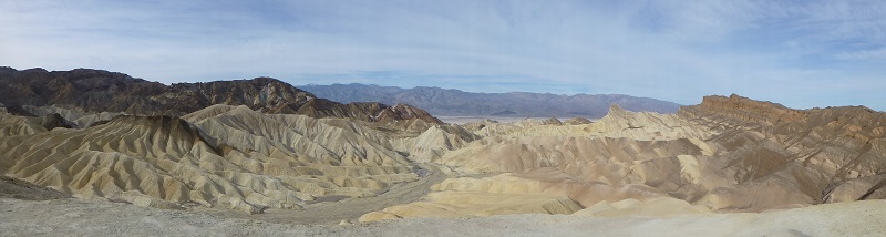
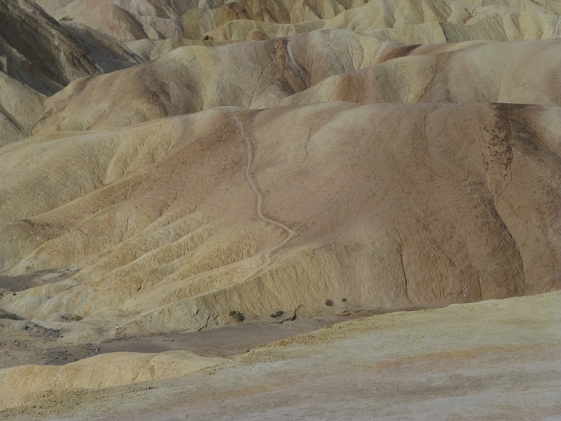
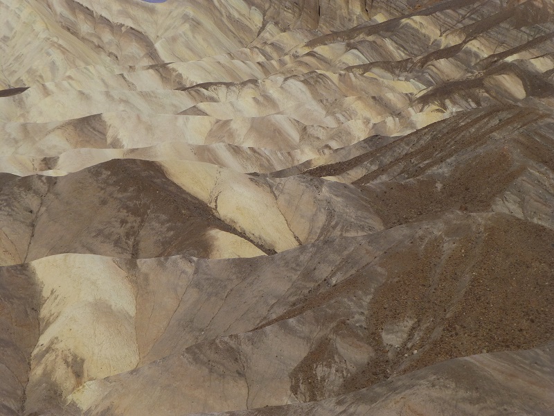
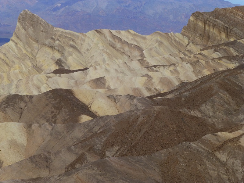
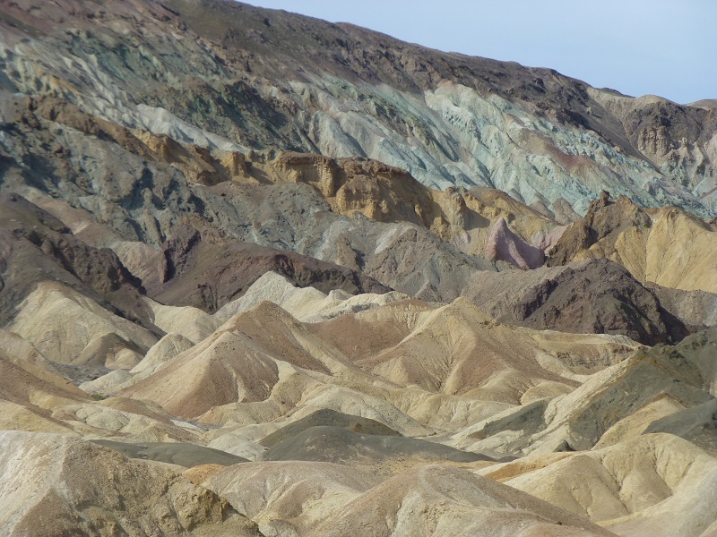
About 5 millions years ago, a lake was located where the Death Valley basin is today. We refer to that lake as Furnace Creek Lake and the eroded sides of the sediment of that lake created beautiful and almost unworldly landscapes that can be viewed from Zabriski Point.
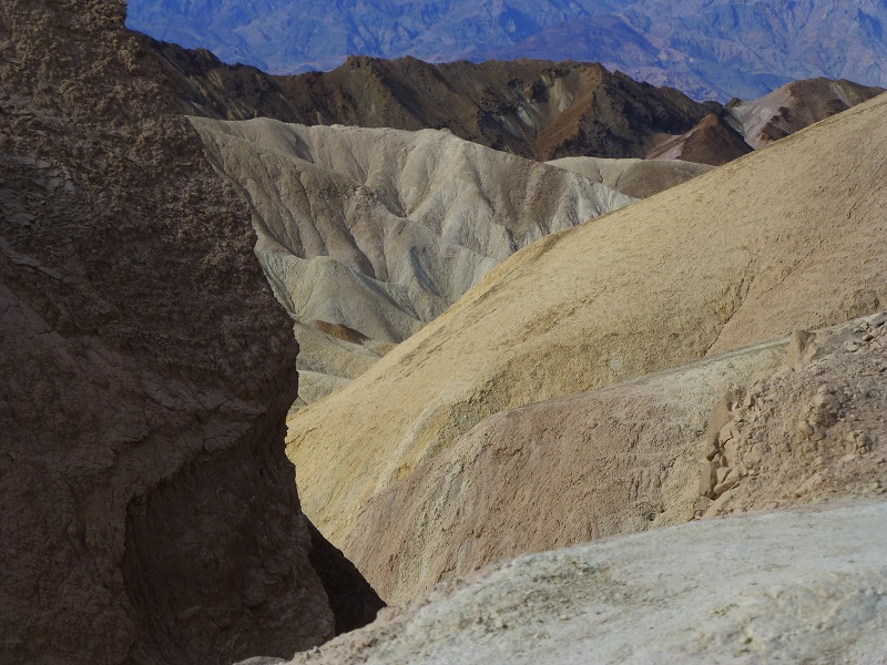

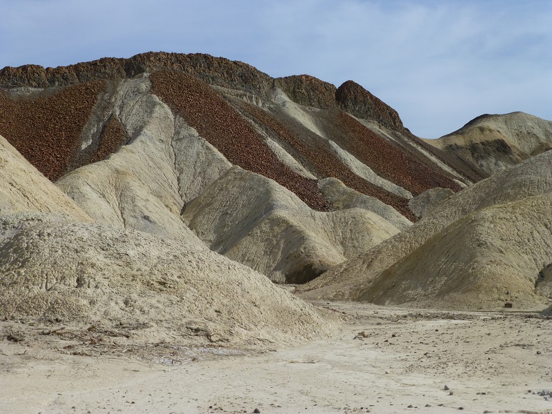
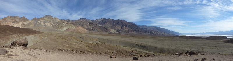
We drove through 20 Mule Team Canyon, taking in colors and landscapes that looked like they were from another planet. We also took a little walk and came across an old borate mine.
From Dante’s View at 5,500′ elevation, we could take in a tremendous amount of Death Valley. We looked straight down on the Badwater Basin at 282′ below sea level. The squiggly line is the Armargosa River, heading to its ending point.
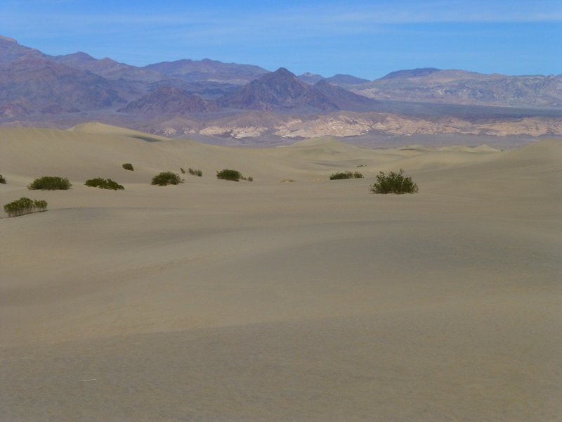
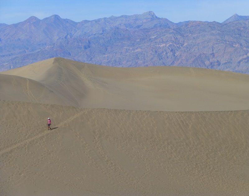
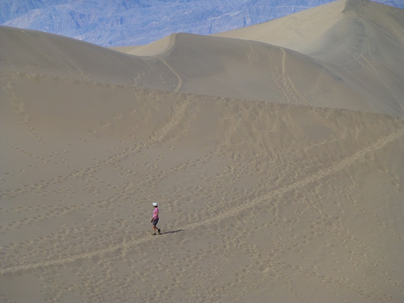
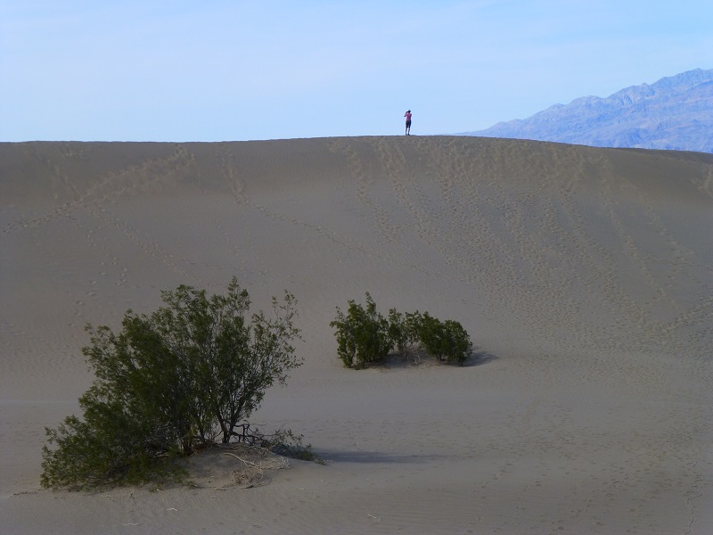
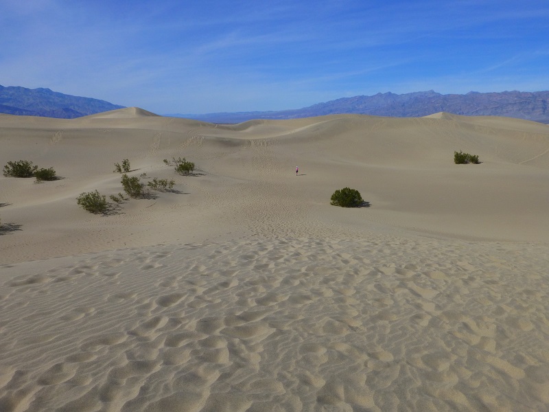
You may think the Mesquite Flat Sand Dunes look familiar and if you are a Star Wars fan, you are right. Of course they have been in many more movies over the years. Some of these dunes tower up to 600-700 feet high.
Death Valley is a beautiful place of extremes. It can be very hot and your body may need more water than you are used to. If you don’t bring your own water, there are no other sources out there to get it and you can die. We carried our packs with about 100 ounces of water with us and we drank much more than we usually do. Don’t underestimate this really big issue.
When I say it can get hot, I mean hotter than a firecracker. The hottest air temperature ever recorded in Death Valley was 134 °F on July 10, 1913, at Furnace Creek, which is the hottest atmospheric temperature ever recorded on earth. During the heat wave that peaked with that record, five consecutive days reached 129 °F or above.
Sources:
Death Valley National Park Home Page
Death Valley National Park Hiking
Prior Blogs in this Area: