 MADERA COUNTY – Cal Fire crews are working along Highway 41 to prepare for a prescribed burn aimed at lowering the number of wildfires along the corridor.
The prescribed burn will span approximately 11 miles along the east side of Highway 41 from the Friant canal (Mile Marker 6.95) just north of Avenue 15, to Road 200 (mile marker 17.91) in O’Neals, and will result in the treatment of approximately 104 acres. The proposed plan is to burn in early June, depending on weather conditions.
The California Department of Forestry and Fire Prevention (Cal Fire), in cooperation with Caltrans, Pacific Southwest Research Station / Fresno State University, California Highway Patrol, private landowners, the U.S. Forest Service, and the San Joaquin Valley Air Pollution Control District, aims to fulfill Governor Newsom’s Executive Order N-05-19 (Community Wildfire Prevention and Mitigation Report) issued on Jan. 9, 2019.
The Order called for “more rapid and effective fuels management treatments, especially for projects accomplishable before the peak of fire season later this year,” and delivered recommendations to reduce public safety hazards associated with catastrophic wildfire. It specifically prioritized 35 projects aimed at protecting 200 of California’s most wildfire-vulnerable communities.
 Historically, this portion of Highway 41 has more wildland fires than any other in the Madera/ Mariposa/ Merced Unit, according to Cal Fire. Since 2014 there have been approximately 67 fires in this area, including the Oakwood Fire in 2017 that charred 1,431 acres of rangeland.
In 2018 alone there were 14 fires along the corridor that burned approximately 60 acres, resulting in roadway closures and high suppression costs.
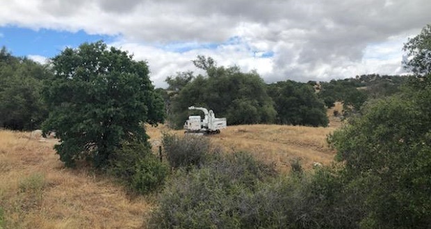
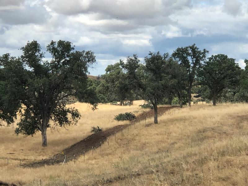
In preparing for the burning operation, crews are conducting fuels reduction activities which include removing thick vegetation and trimming trees, primarily in the Rocky Cut area (mile marker 15.1 to 17.73) on private land. This work is not expected to impact traffic on Highway 41.
 Once trees are trimmed and thick vegetation is removed, crews will conduct a burning operation to reduce annual grasses. This will create a large fuel break while reducing highway hazards and high fire suppression costs.
Traffic on Highway 41 may be impacted during the burning operation, the dates and times for which will be announced just ahead of the project getting underway.
The operation will be conducted over two evenings for three-to-four hours, beginning at 7 p.m. Signage will be installed along the roadway to alert motorists.
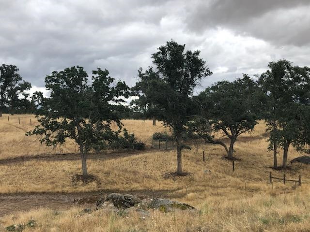
The current width of the treatment areas ranges between 10 and 200 feet, with most areas being less than 50 feet of grass and light brush.
For more information visit fire.ca.gov.