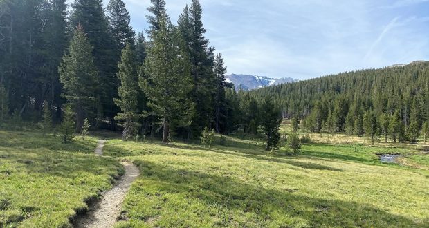
Yosemite’s Mono Pass Trail is a magical trail, leading the way to snowy peaks and colorful red mountains framing high lakes. Those lakes were still sporting a bit of ice when I hit that historic trail.
Where: Yosemite National Park
Distance: 11.04 Miles
Difficulty: Moderate to Strenuous
Elevation Range: 9,596′ – 10,972′
Elevation Gain: 1,605′
Date: June 9, 2022
Map: CALTOPO: Hiking to Helen and Spillway Lakes
Dog Hike? No
 I left the house early and headed into Yosemite National Park via the Arch Rock Gate. They hadn’t quite got set up for business yet, waved my Peak Hour Reservation Pass and they waved me through. I didn’t get my yellow slip to tape to my windshield this trip.
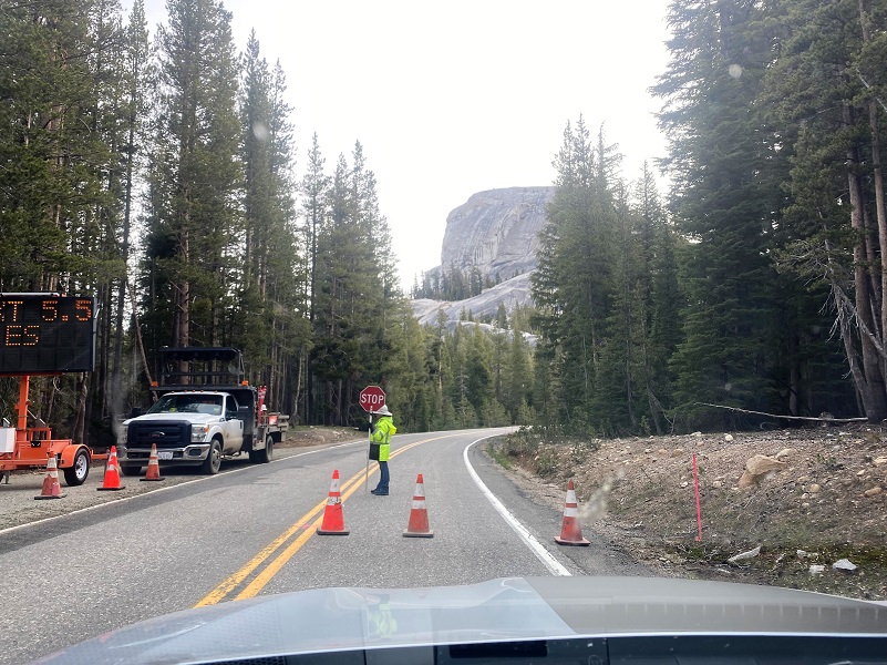
When I went through the Tenaya Lake area, there was no road construction going on and I had a 20 minute wait at the Tuolumne Meadows construction. For the latest on Yosemite National Park’s road construction, including estimated wait time, you can read the latest here.
I parked my car at the Mono Pass Trailhead at 7:34, about 5.6 miles east of the Tuolumne Meadows Campground and 1.4 miles south of Tioga Pass. I was not going to take any chances on mosquitos so I sprayed down with mosquito repellent but I also hoped that a breeze would blow them away from me on my hike. There was a bit of a breeze and those skeeters were minimal but they can be really bad above Spillway Lake.
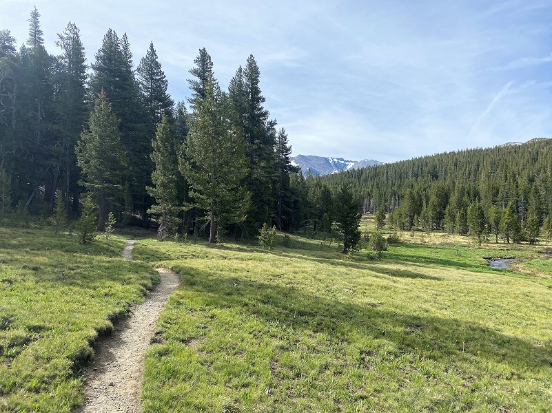
 I headed up the Mono Pass Trail. When I talk about this trail I use the name of Yosemite’s Mono Pass Trail because there is also a place called Mono Pass above Rock Creek and Little Lakes Valley, about 40 miles to the south of Yosemite. Back to Yosemite’s Mono Pass Trail, it was a primary prehistoric lanes of travel across the Sierra Nevada and is still used today. From Linda W. Green’s Yosemite: the Park and its Resources:
It led west from the Mono Lake area, passed up present Bloody Canyon, over Mono Pass, down the Dana Fork of the Tuolumne River, through Tuolumne Meadows to Cathedral Pass, and past Tenaya Lake. It left the present Tioga Road corridor near Porcupine Flat, headed west-southwest to Yosemite Creek, then south to Bluejay Creek, which it followed west to Ribbon and Big meadows. There, at a major Indian settlement, it connected with routes to Big Oak Flat, the Merced River, and other points in the San Joaquin Valley. Current archeological and historical data indicates that this is one of the oldest continuously used trails in the Sierra Nevada and possibly the western United States, having been used first probably by game animals and then successively by Indians, explorers, sheepherders, miners, poachers, the U. S. Army, early High Sierra tourists, and finally by trans-Sierra auto travelers. As mentioned previously, Walker probably followed portions of this route, as did Lieutenant Moore in his pursuit of the fleeing band of Yosemites in 1852. Later, around 1857, Tom McGee, a businessman of Big Oak Flat, further blazed the trail, joining it to the Big Oak Flat Trail to facilitate passage by miners and packers to the mining towns east of the Sierra.
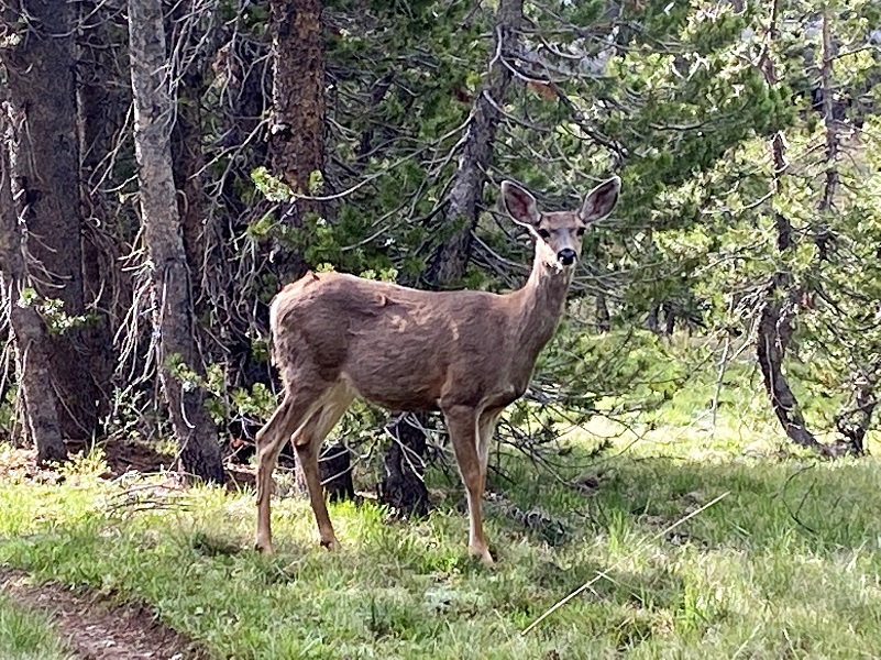
I hadn’t walked too far when I saw this by the trail. I stopped and watched for a while.

I walked a little farther and she wouldn’t move, so I walked on by her, taking a few pictures as I walked by.
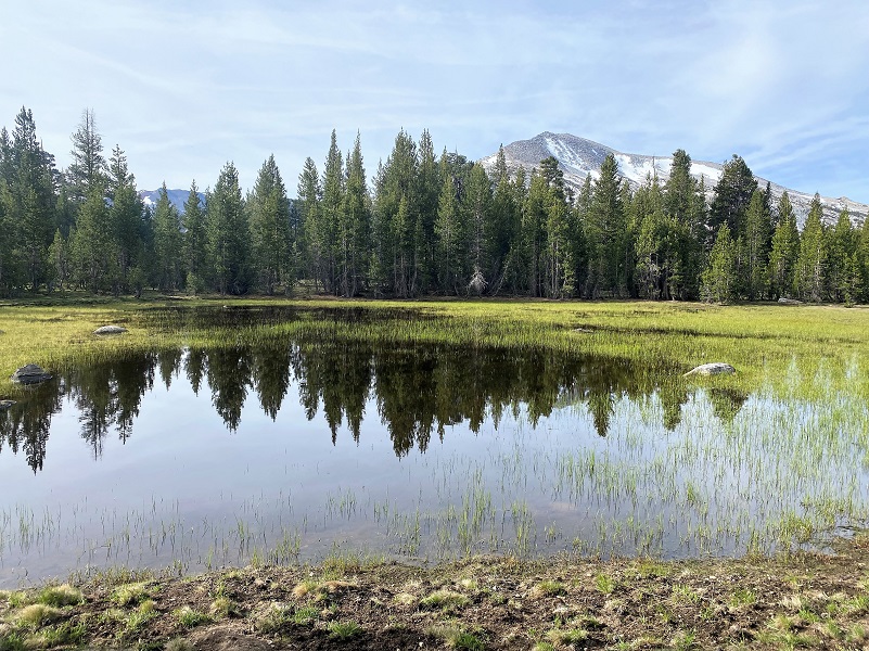
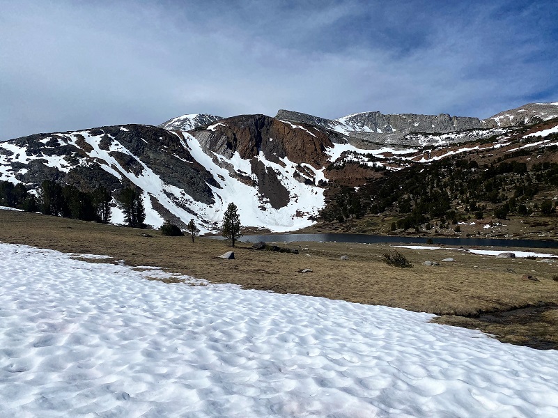
I made a stop by a small tarn to admire the reflected views of Mammoth Peak (12,090′ elevation). Very pretty!
 I wasn’t sure if I would need water shoes to cross the creek but clipped them to my pack. It was my lucky day because I was able to use this skinny log to get across. It was the same one that was there in previous years but it is sinking a bit. I rock hopped on my return trip.
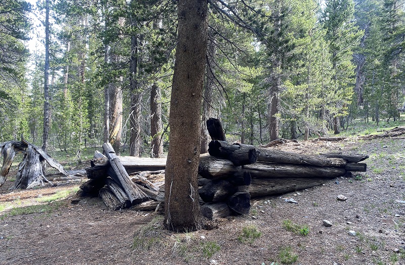
There was one down tree across the trail but easy to get across or around. I always like to stop by this old cabin that a miner whose name is lost to history lived. It is quickly disappearing and soon will be gone.
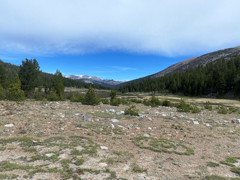
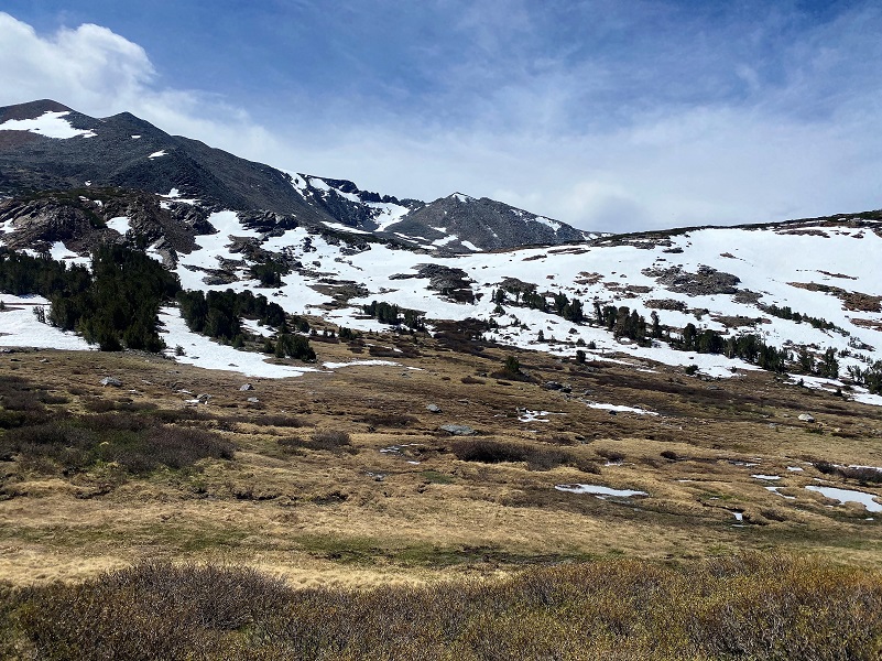
The trail came out of the trees and I could catch a glimpse of the part of the Kuna Crest.
And I looked over at Mammoth Peak.

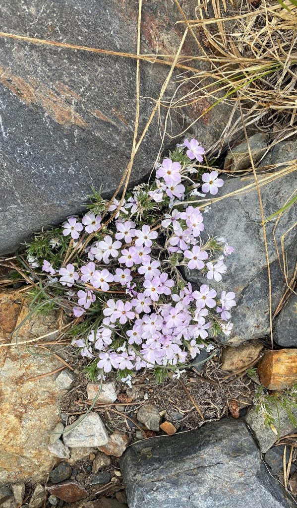
Spreading Phlox had started blooming along the trail.
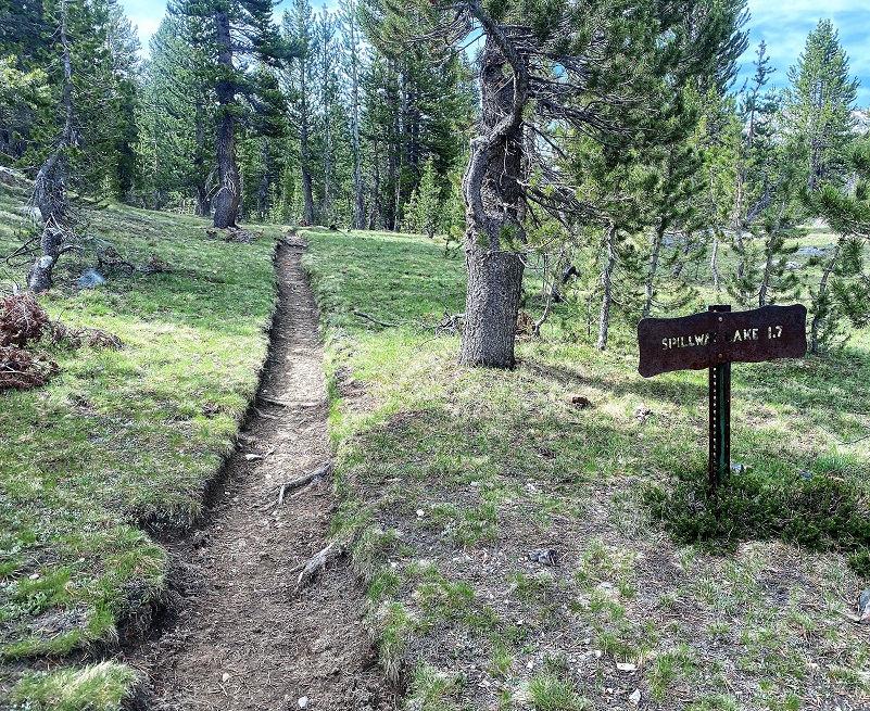
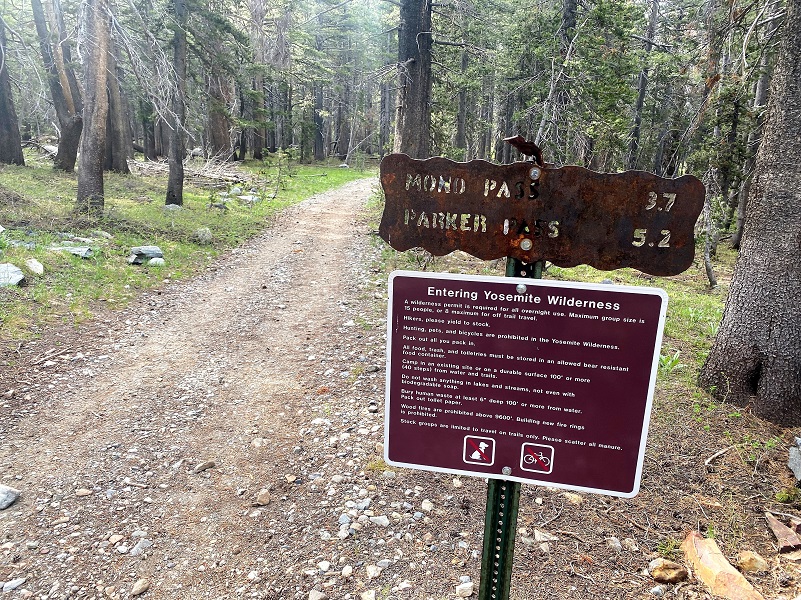
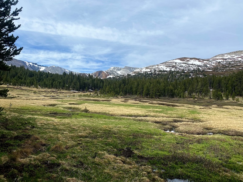
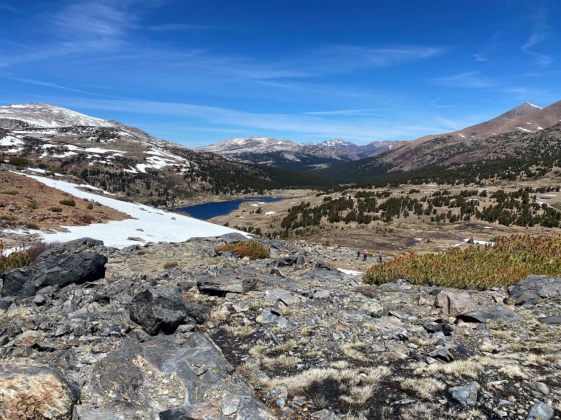
The trail splits at about the 2 mile point, the left fork heading to Mono Pass and I stayed on the right fork toward Spillway Lake. The trail led through a marshy area but I was able to get through it without tromping through too much water and mud.
Looking back where I had traveled.
The trail led along the side of Parker Pass Creek. Some years the creek runs under a snowbridge where this bank is but not this year. That snowbridge had already melted out.
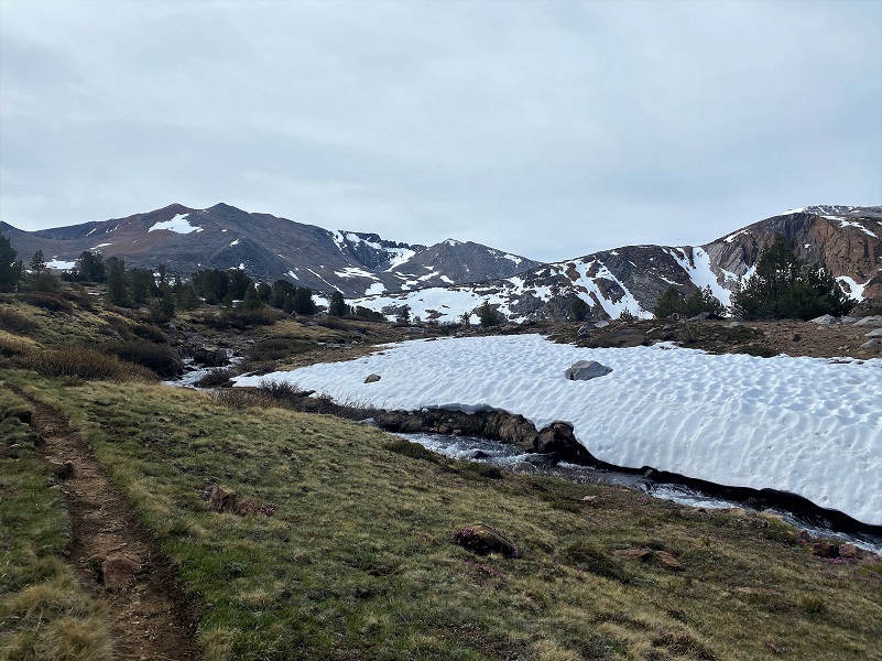
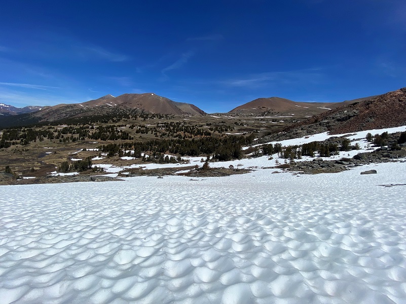
Then I headed up the hill, bypassing Spillway Lake to the east. There were some snow patches that I skirted as I made my way toward where Parker Pass Creek empties out of Parker Pass Lake.

I could see where I was going to head up toward Helen Lake. I was very curious how much snow there would be and how melty it would be. I had debated bringing my snowshoes but had decided against it.
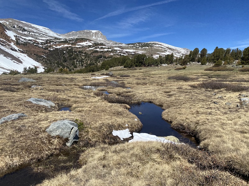
I found a good spot to jump over Parker Pass Creek then wandered along the small tarns to check out reflections..
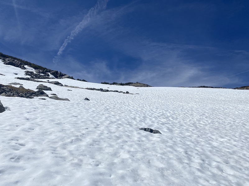
I tried to stick to dirt and rock patches when I could but did cross some decent snow patches as I climbed.
Taking a look back (and breather) toward Spillway Lake.
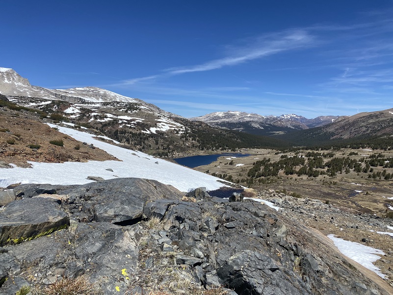
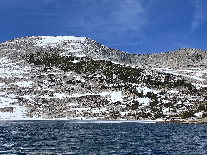
I soon reached Helen Lake (10,945′ elevation). I had been curious whether it would still have ice on it but the wind had mostly broken it up. A little ice still hung on the wind protected shore though.

This beautiful lake is named after John Muir’s youngest daughter, Helen Lillian Muir. She was born January 1886 in California and died in 1964. She married Buel Alvin Funk in 1909 and moved to Belleville in San Bernardino County, California. Helen was often sick and the doctors thought that the desert air might help her health improve.
Belleville was a mining boomtown near Holcomb Valley and although the gold rush that hit this area from about 1860 to 1870 was long over, hard rock mining still took place up to about 1919. Helen’s husband Buel is listed as a Farmer on the 1920 through 1930 census in Belleville, owning their property after the 1910 census. The Funks continued to live in Belleville til at least the 1930 census and Buel died in 1934. Helen died in Spokane, Washington and is buried at the Bellevue Cemetery and Mausoleum in Ontario, California.
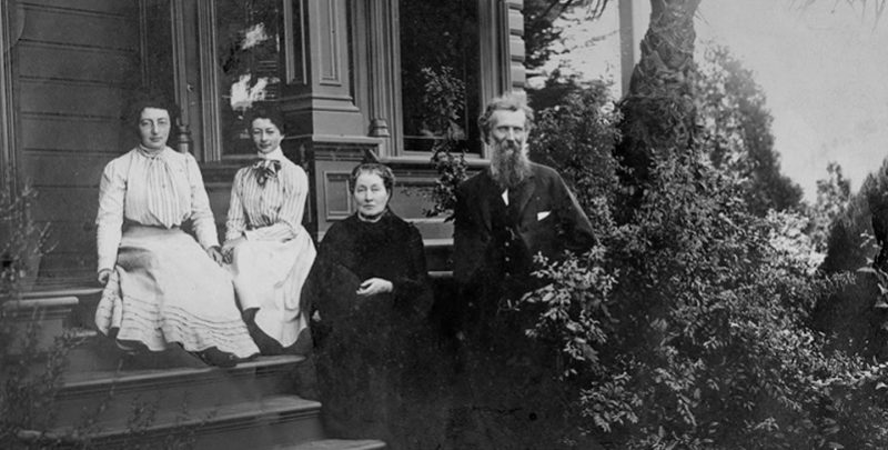
John Muir with wife Louie (Louisa) and daughters Helen and Wanda on the front steps of the Martinez home (Photo Courtesy National Park Service)
As I started heading down, I could see some friends that were heading up toward where I was leaving. Can you spot them in this big country?
We chatted briefly then headed on our opposite directions.
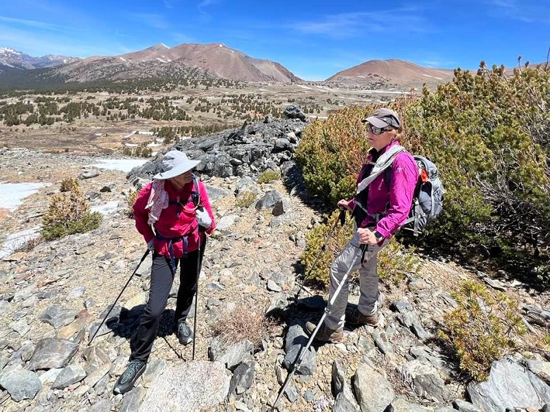
Photo by Betsy and Mark Blum
As I headed down the hill through the snow, it was a lot easier going down than it was coming up.
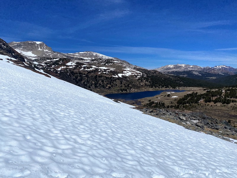
I wandered along the inlet and along Spillway Lake (10,476′ elevation), looking for Yosemite Toads. They are a threatened species, likely to become endangered in the foreseeable future throughout all or a significant portion of its range. It is indigenous to California, found only in a 150 mile span of the Sierra Nevada Mountains from Ebbetts Pass in Alpine County in the north to Fresno and northern Inyo Counties in the south. It is a medium-sized toad, usually about 1.2 to 2.8 inches in length, found in wet meadows and forests at high elevations. Once abundant, this species has been in dramatic decline for several decades and is now found primarily on publicly managed lands at high elevations, including streams, lakes, ponds, and meadow habitats located within national forests and national parks. I didn’t see any on this trip but have in the past. They really do blend in well with the vegetation. I headed back down the trail.

Once I got in my car, I quickly reached the control point for the Tuolumne Meadows road construction, just missing the pilot car’s last string of vehicles. So, I waited the full 30 minutes for the next one. Bugs weren’t an issue on this hike but they sure can be up here. I remember one time that our pants and shirts were covered in mosquitoes. If this happens to you, get higher up on the hill above Spillway Lake and they won’t be so bad.
Dog Hike?
No, dogs not allowed in Yosemite National Park Wilderness.
Doarama:
What is a Doarama? It is a video playback of the GPS track overlaid on a 3 dimensional interactive map. If you “grab” the map, you can tilt it or spin it and look at it from different viewing angles. With the rabbit and turtle buttons, you can also speed it up, slow it down or pause it.
Helen and Spillway Lakes Doarama
Map and Profile:
CALTOPO has some free options for mapping and here is a link to my hike this week: CALTOPO: Hiking to Helen and Spillway Lakes
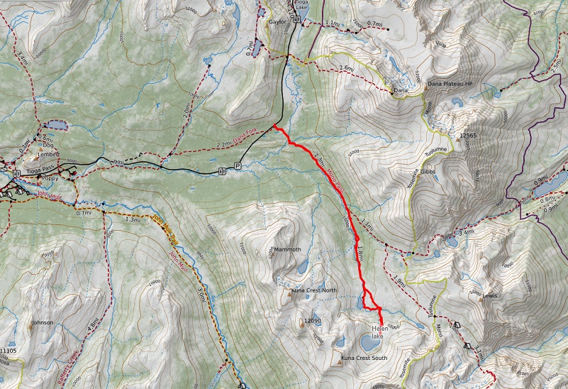
Helen and Spillway Lakes Topographic Map
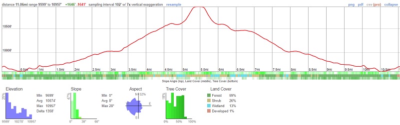
Helen and Spillway Lakes Profile
Sources:
Yosemite Peak Hour Reservation System Information
John Muir: A Passion for Nature NPS
Yosemite Toad US Fish & Wildlife
Prior Blogs in the Area:
Hiking Up Yosemite’s Mono Pass Trail Past Spillway Lake June 17, 2021
Adventures with Candace: Hiking to Helen and Spillway Lakes June 23, 2020
Hiking up Yosemite’s Mono Pass Trail to Helen Lake July 10, 2019
Hiking to Spillway and Helen Lakes July 6, 2018
Hiking up to Spillway and Helen Lakes August 1, 2017
Hiking up to Spillway and Helen Lakes June 29, 2016
Hiking on the Mono Trail to Spillway and Helen Lakes June 8 2014
Hiking and Fishing High Lakes along the Mono Pass Trail August 14, 2013
Hiking with the Yosemite Toad to Helen & Spillway Lakes June 7, 2013

