How much snow and ice would we find at the 11,000′ elevation above the Mono Pass Trail? Would those lakes still be frozen over? It was the right time to get up there and check it out.
Where: Yosemite National Park
Distance: 12 Miles
Difficulty: Moderate
Elevation Range: 9,596′ – 10,959′
Date: June 29, 2016
Maps: Falls Ridge and June Lake Topogs
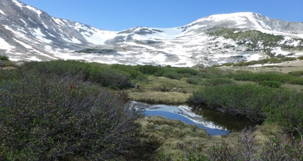
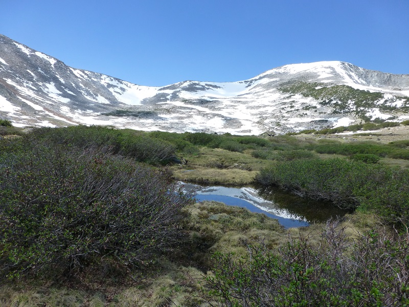
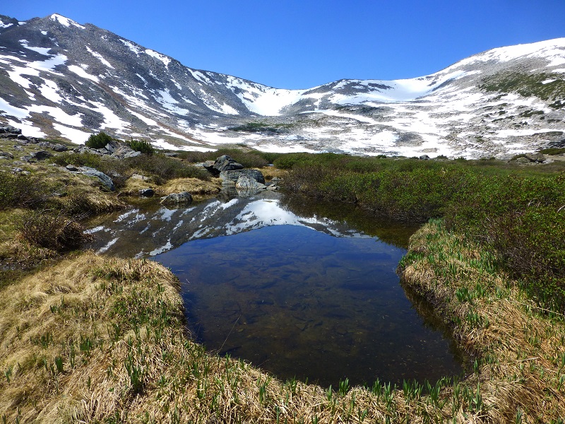
We headed east on Tioga Road, parking our car at the Mono Pass Trailhead, about 5.6 miles east of the Tuolumne Meadows Campground and 1.4 miles south of Tioga Pass. We put our snacks and cold drinks for after the hike and anything else that a bear might find irresistible in the bear box, used the restroom, then headed up the trail. I always like to stop at the small tarn alongside the trail to see what kind of reflections it might have.

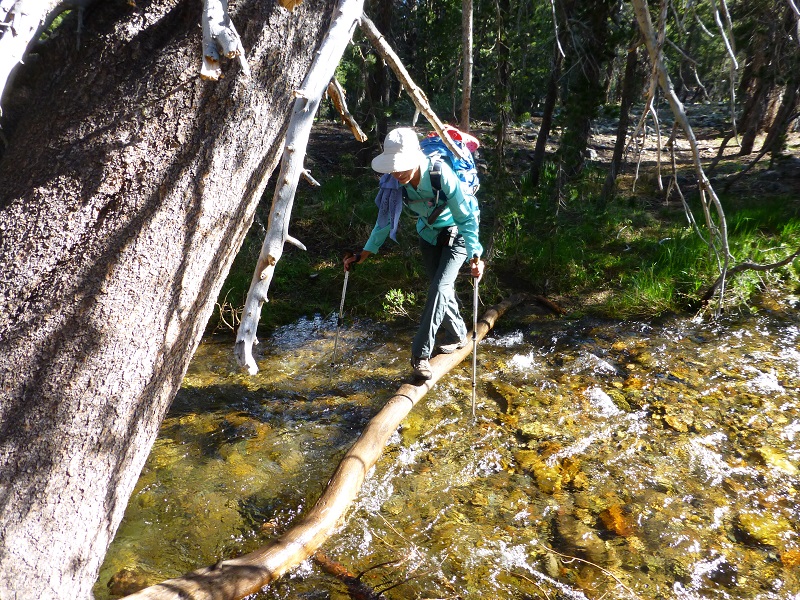
When we crossed Dana Fork, we usually have to put on our water crossing shoes. We brought Crocs for this purpose, but we lucked out and there was a small log that we were able to walk across.
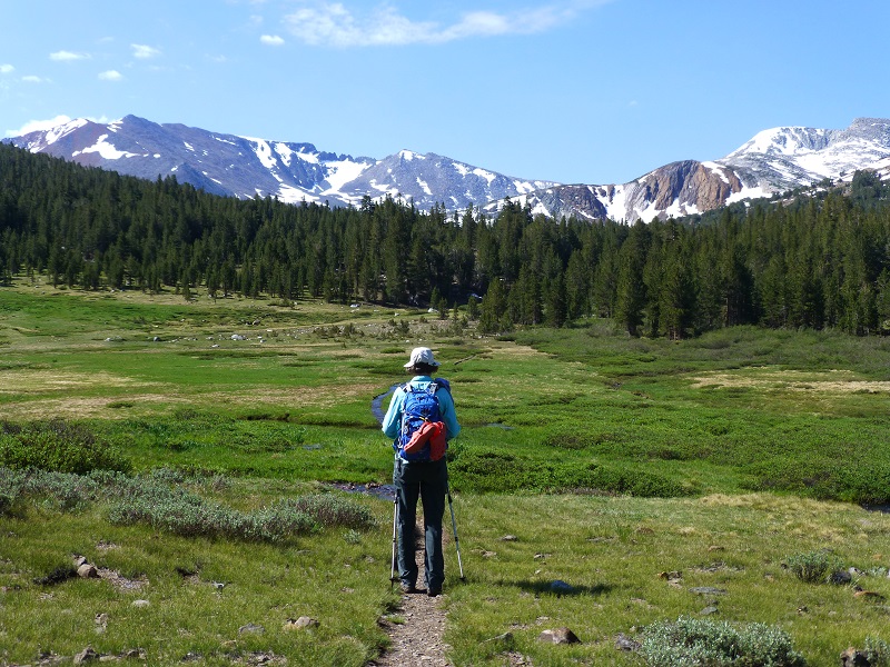
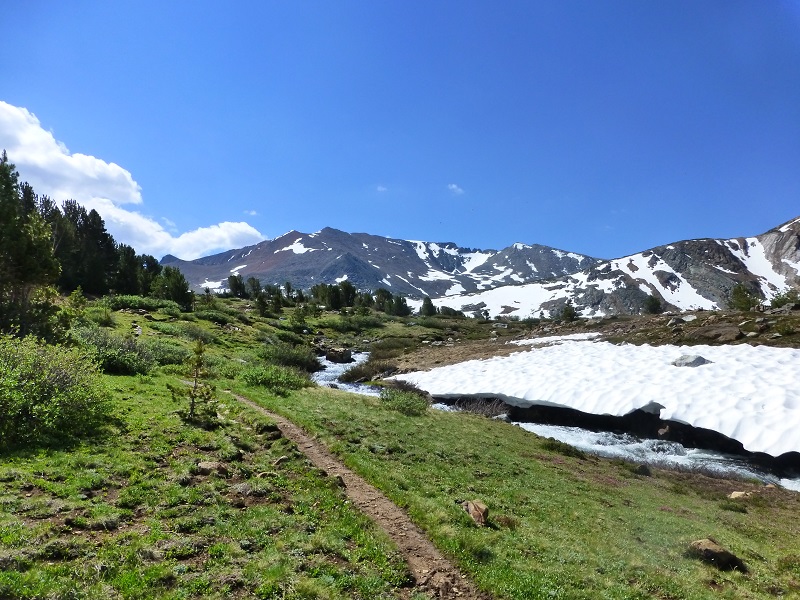
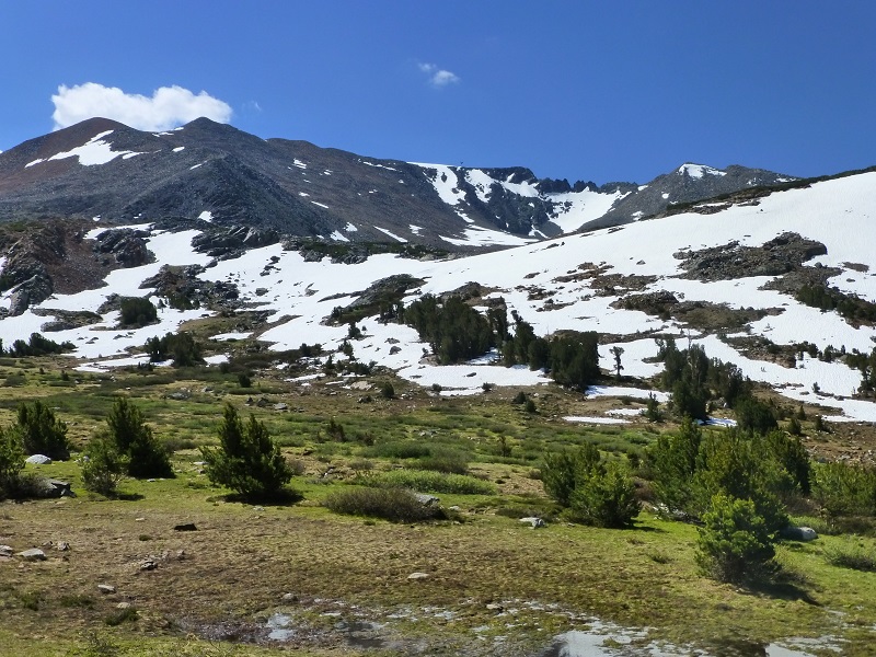
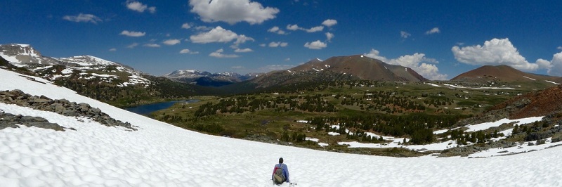
After the trail split, with the left trail going to Mono Pass, we continued on the right trail and it opened up so we could see the high country that we were headed to.
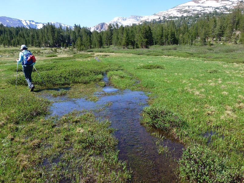
We tried to stay on the trail the best we could but in some places the water running down the trail was just too much.
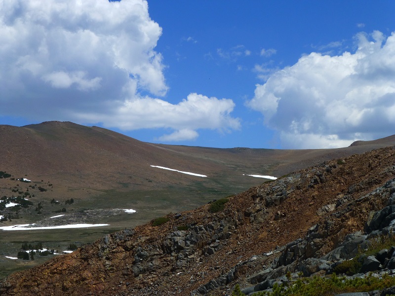
The trail started to follow the creek that comes out of Spillway Lake and as we came around the bend, we began to see those red mountains streaked with snow.
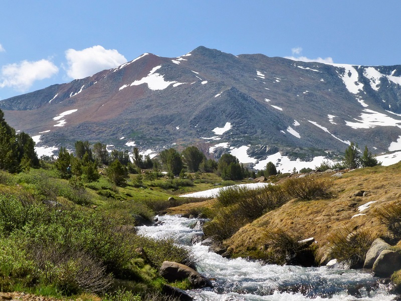
When we reached Spillway Lake, we didn’t stop. Just in case those clouds started to look angry, we wanted to get to Helen Lake and could quickly always come down off of that to visit Spillway on the way back.
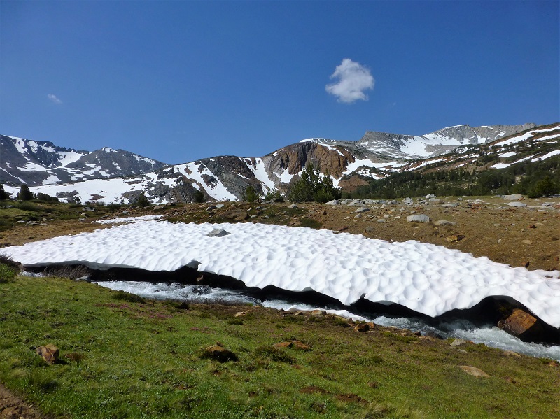
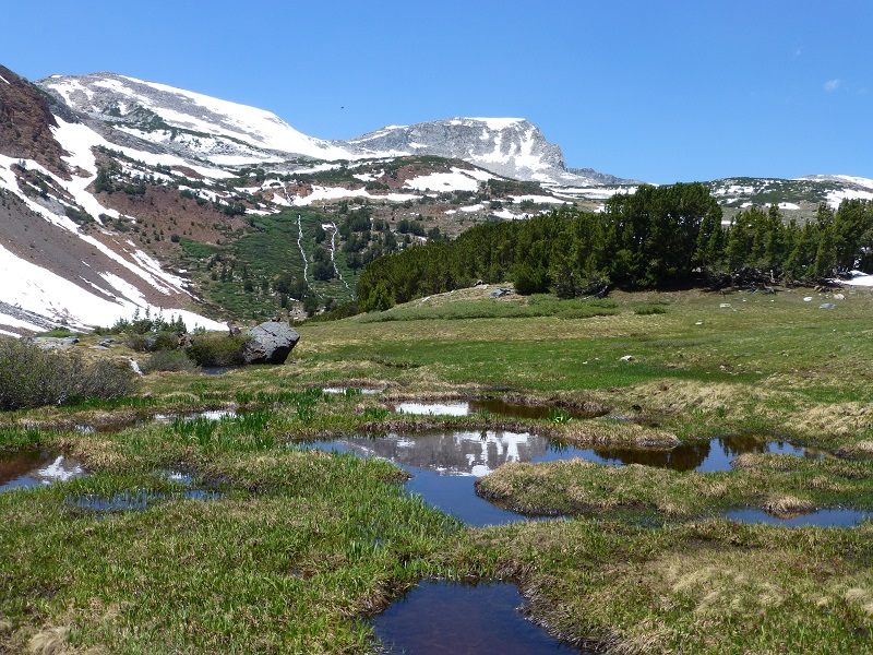
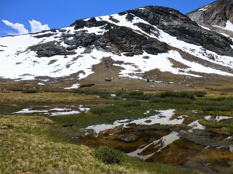
The trail basically ends at Spillway Lake and we hugged the tree line to the east, gaining elevation. We would need to cross a small creek but we needed to go uphill to do that because it was a bit high and wide for us to jump it over. We walked across the boggy areas, trying to stick to the higher and dryer spots, then aimed for the snow covered saddle that we would take for our approach up and into Helen Lake. Then up we went through the snow.
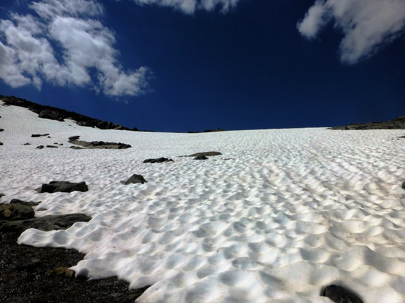
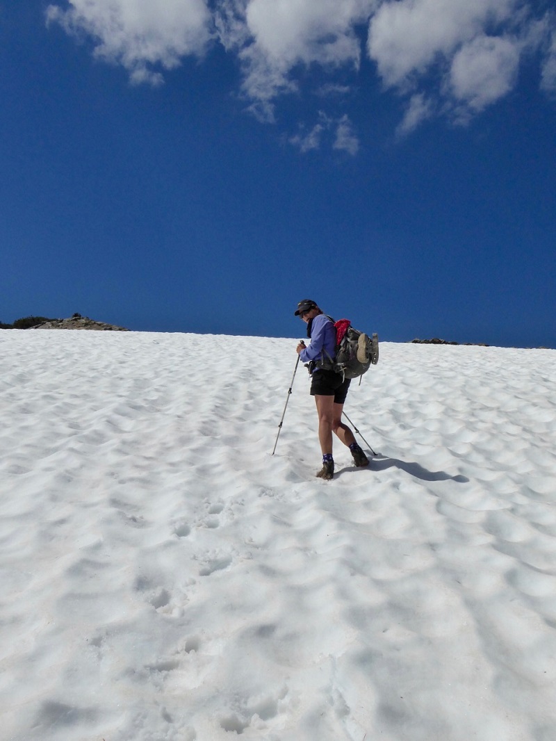
Heading up the Snow Field Below Helen Lake (Photo by Gail Gilbert)
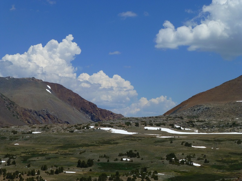
From the top, I could look back to the east where the clouds cast their shadows on the mountains, creating a constantly changing kaleidoscope of color.
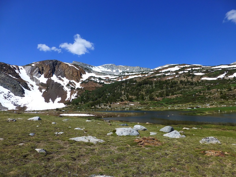
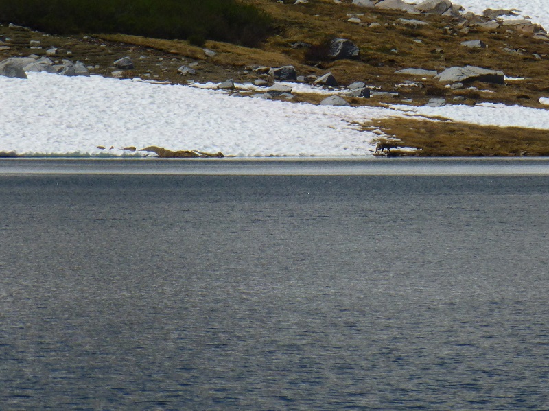
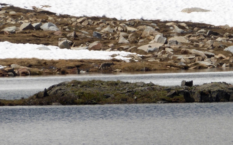
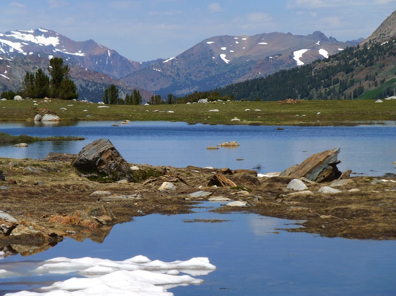
We arrived at Helen Lake. I was a little disappointed that there was no ice remaining on it but it was still very beautiful.
This beautiful lake is named after John Muir’s youngest daughter, Helen Lillian Muir. She was born January 1886 in California and died in 1964. She married Buel Alvin Funk in 1909 and moved to Belleville in San Bernardino County, California. Helen was often sick and the doctors thought that the desert air might help her health improve.
Belleville was a mining boomtown near Holcomb Valley and although the gold rush that hit this area from about 1860 to 1870 was long over, hard rock mining still took place up to about 1919. Helen’s husband Buel is listed as a Farmer on the 1920 through 1930 census in Belleville, owning their property after the 1910 census. The Funks continued to live in Belleville til at least the 1930 census and Buel died in 1934. Helen died in Spokane, Washington and is buried at the Bellevue Cemetery and Mausoleum in Ontario, California.
Here is a picture of Helen (on the right) with her parents.
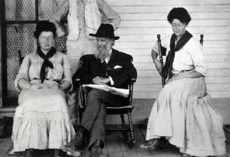
Helen Muir with her Parents Jeane and John Muir.
We found a flat rock to relax on, eat our lunch and admire the view.
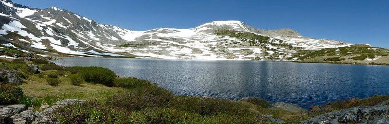
Helen Lake (Photo by Gail Gilbert)
Then I spotted something moving in the snow across the lake from us. What in the heck was this? Was it a coyote, fox or a Mountain Lion? We zoomed way in with our cameras and decided it was a coyote after looking at the photos on the computer at home.
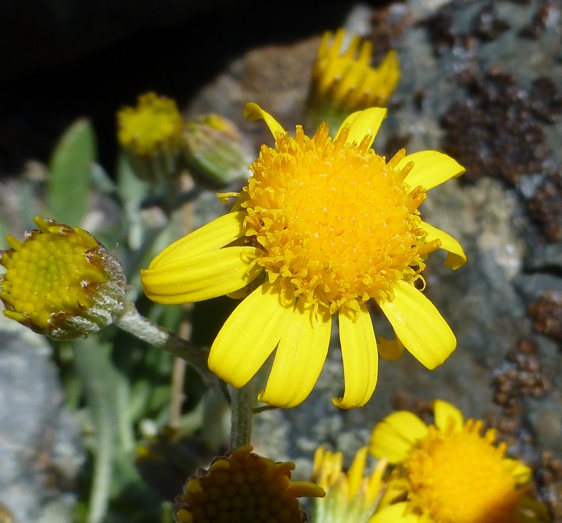
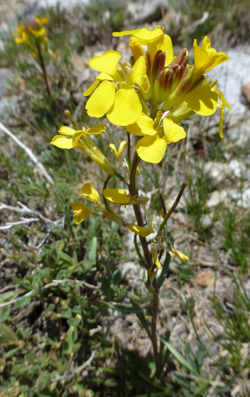
Tucked in the rocks, we noticed that some flowers were starting to bloom.
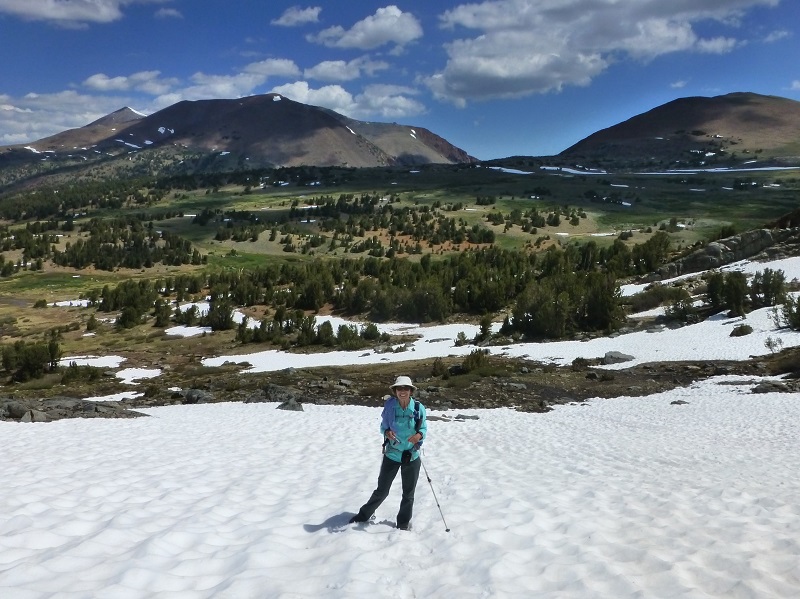
It was time for us to start heading down the hill. That view with Spillway Lake was just gorgeous.
We were able to utilize our favorite way of getting down the mountain quickly on the snow but those sun cups did act like speed bumps on our descent.
Photo of Me by Gail Gilbert)
Those clouds were still putting on a show for us, with their shadows changing the light on the surrounding mountains to our east near Mono Pass and Parker Pass.
We headed down along the shores of Spillway Lake, looking for tadpoles and frogs, hoping to spot some Yosemite Toads.
 What a wonderful day we had and our timing was perfect! We didn’t have any mosquitoes yet so that was a big plus. We still had some snow and those clouds were amazing. No rain or thunder threatened our hike and we got some great exercise in. Oh, I didn’t mention that we had the lakes to ourselves. It doesn’t get much better that that!
Maps and Profile:
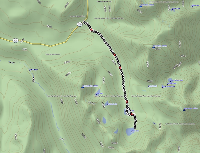
Spillway Helen Lake Hike Topographic Map
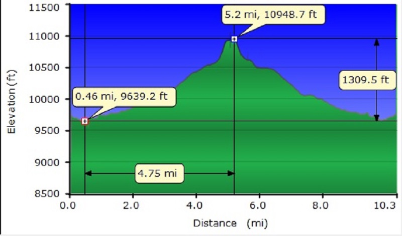
Spillway Helen Lake Hike Profile
Sources:
Prior Blogs in the Area:
Hiking on the Mono Trail to Spillway and Helen Lakes June 8 2014
Hiking and Fishing High Lakes along the Mono Pass Trail August 14, 2013
Hiking with the Yosemite Toad to Helen & Spillway Lakes June 7, 2013