When those views of Mono Pass, Parker Pass and Kuna Crest are streaked with snow, they contrast so beautifully with those multi-colored mountains. This is one of those hikes that I love to do soon after Tioga Road reopens for the year and those white puffy clouds always liven up the scenery, even if they threaten a bit of the wet stuff with them.
Where: Yosemite National Park
Distance: 10.48 Miles
Difficulty: Moderate
Elevation Range: 9,596′ – 10,961′
Date: June 23, 2020
Maps: Falls Ridge and June Lake Topogs
Dog Hike? No
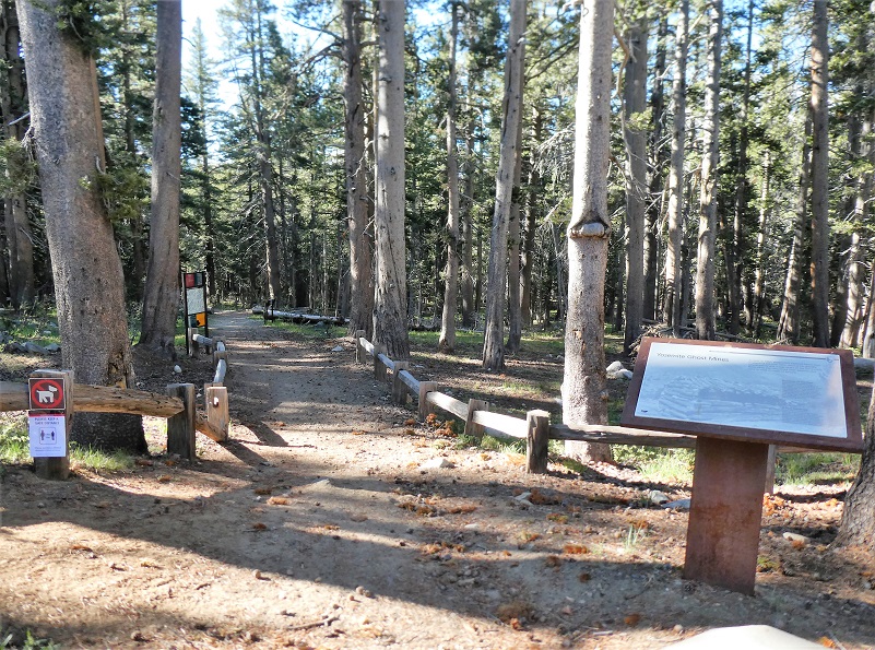 A few of us in several cars headed east on Tioga Road, parking our cars at the Mono Pass Trailhead, about 5.6 miles east of the Tuolumne Meadows Campground and 1.4 miles south of Tioga Pass. I arrived about a half hour before our scheduled meetup time at the trailhead, put my snacks and cold drinks for after the hike and anything else that a bear might find irresistible in the bear box, then used the restroom. I had heard the skeeters were pretty bad so I sprayed down with mosquito repellent but I also hoped that a breeze would blow them away from us on our hike.

I left a note on my windshield for the folks I planned on social distance hiking with and started up the trail.
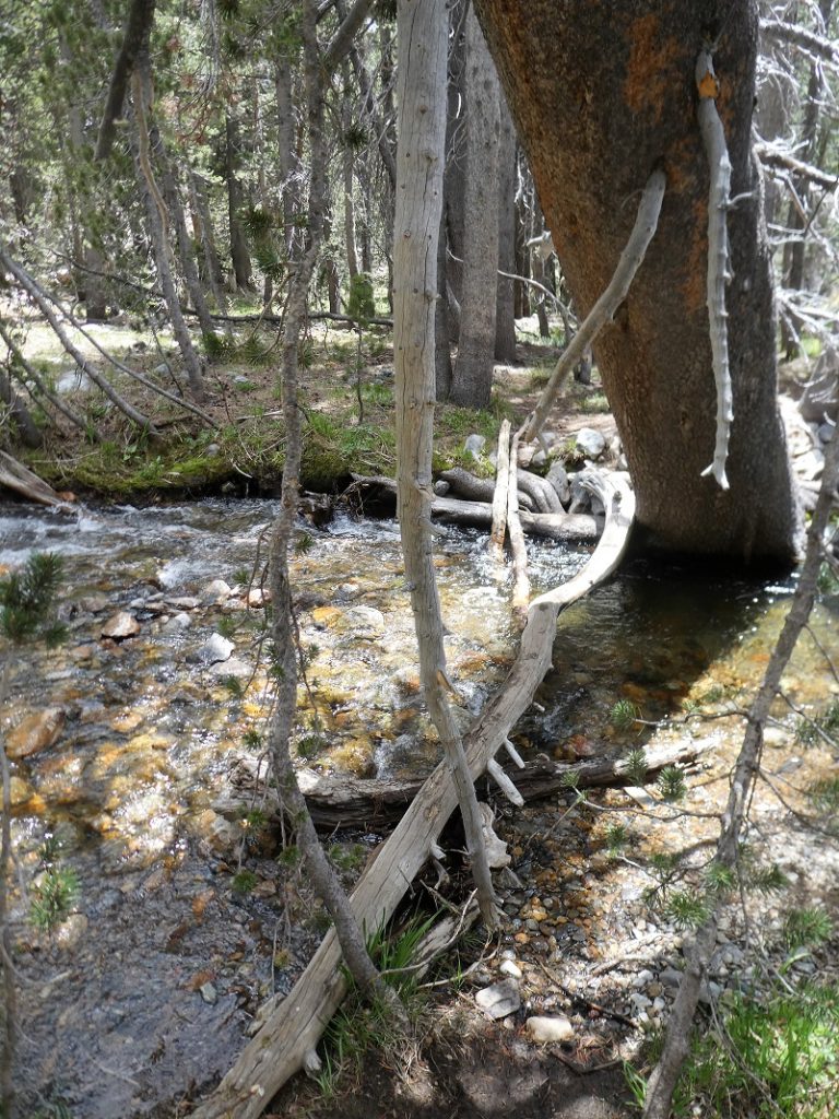
I wasn’t sure if I would need water shoes to cross the creek and my gut feeling was that I wouldn’t, so I took a risk and left mine in the car. It was my lucky day because I was able to use this skinny log to get across. It sure looked like the same one that was there last year.
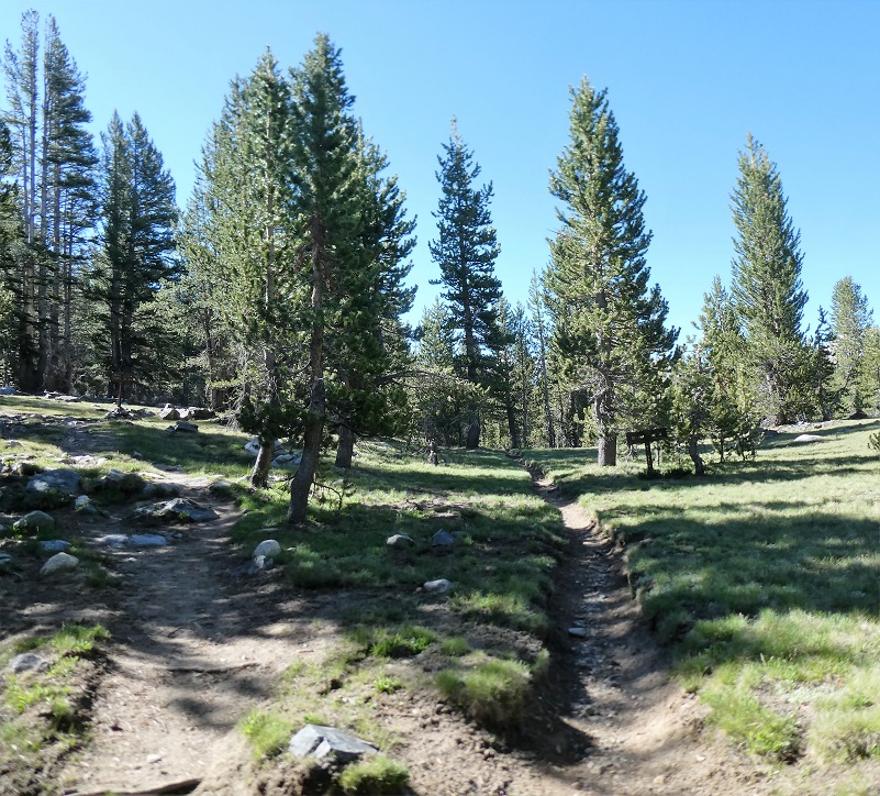
I headed up the trail.
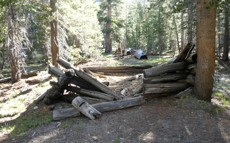
I always like to stop by this old cabin that a miner whose name is lost to history lived. It is quickly disappearing and soon will be gone.
Heading up the trail, I was loving the peeks of higher country.

The trail splits at about the 2 mile point, the left fork heading to Mono Pass and I stayed on the right fork toward Spillway Lake.
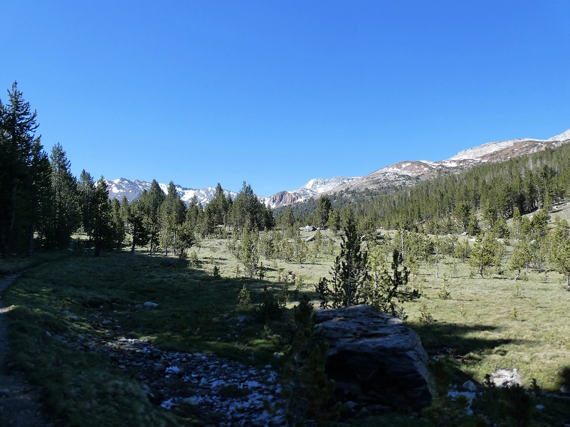
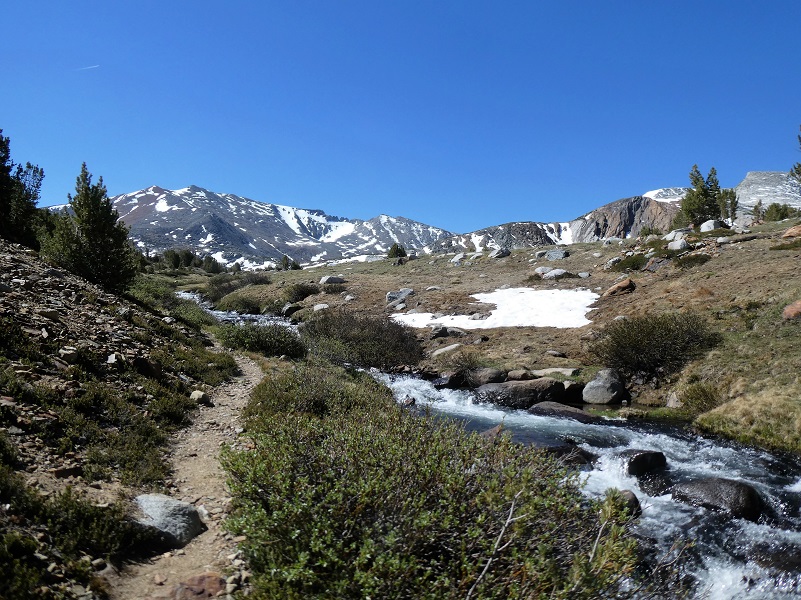
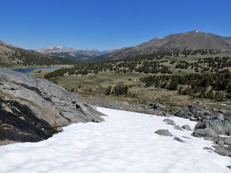
As I started coming out of the trees, a meadow was in front of me, giving me my first peek of where I was headed.
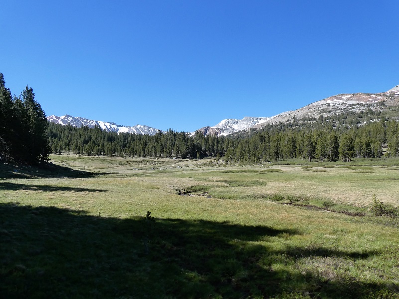
The trail had some wet spots. I didn’t check the severeness of the wet parts, making my decision to hug the meadow’s edge to the east. When I returned, I could see that it wasn’t as wet as it appeared and there were plenty or rocks to walk on, so I didn’t get soaked.

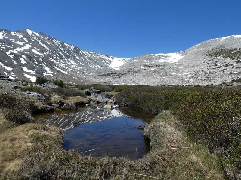
I always love this spot of Parker Pass Creek when the snow is still hanging over it and we get a closer look at the snowy mountains behind Spillway Lake.
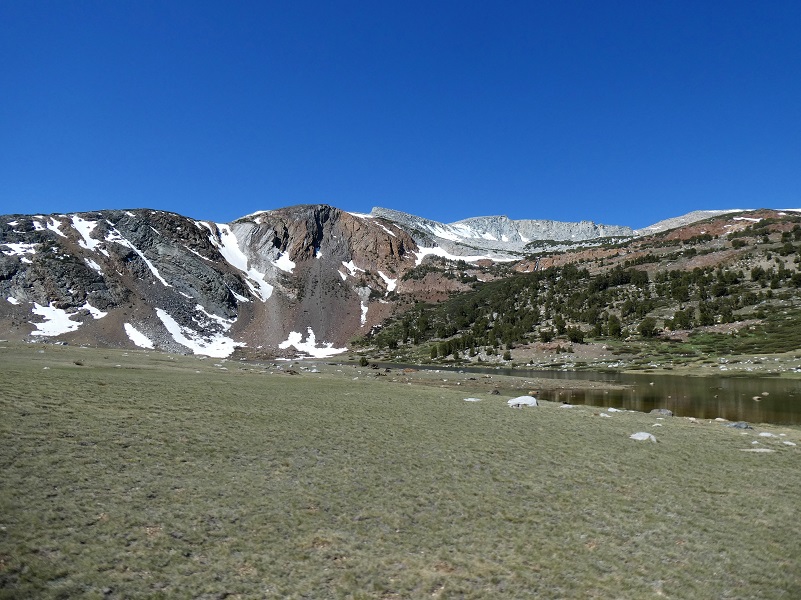
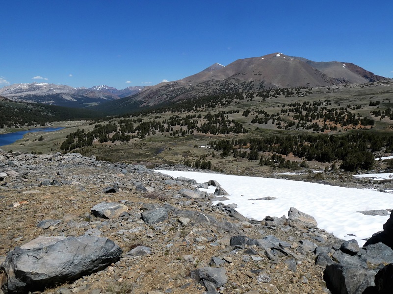
I could see that the wind was up a little and that made me happy because it kept the mosquitoes away, but that wind wasna’t providing reflections on Spillway Lake so I bypassed that lake for now. I headed cross country up on the hills to the east of the lake to gain elevation for my approach to Helen Lake, keeping my eye on Spillway Lake as I climbed higher.
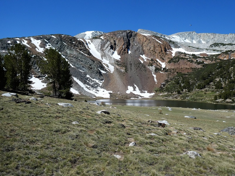
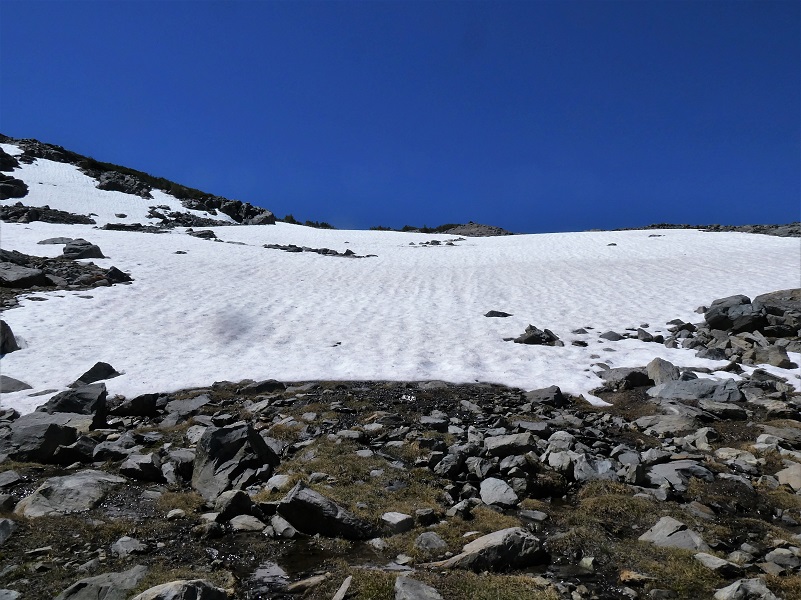
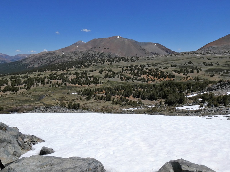
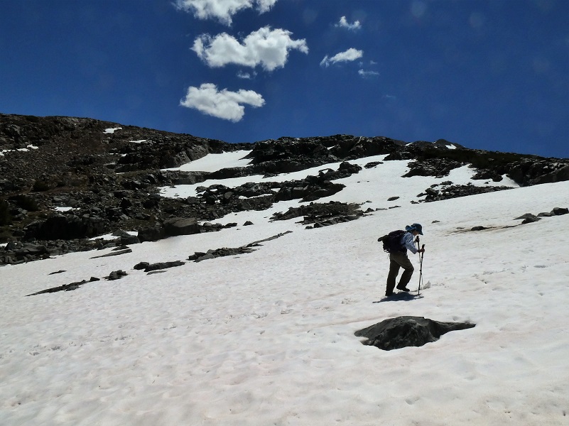
I soon had a nice view of my approach up to Helen Lake and it would be through a bit of snow which was just fine with me. To me honest, I was really hoping that there was still snow in this area because it is so pretty. I drew a red arrow so you could see my route that stayed to the south of the lake’s outlet.

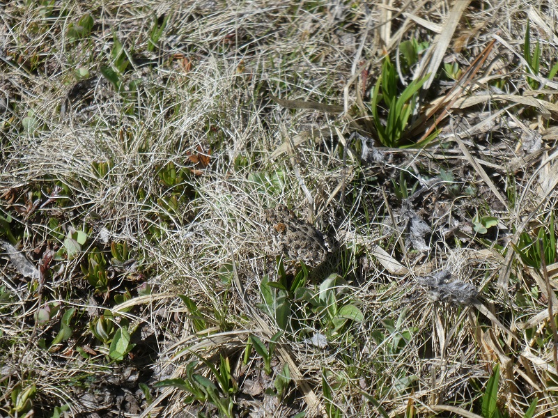
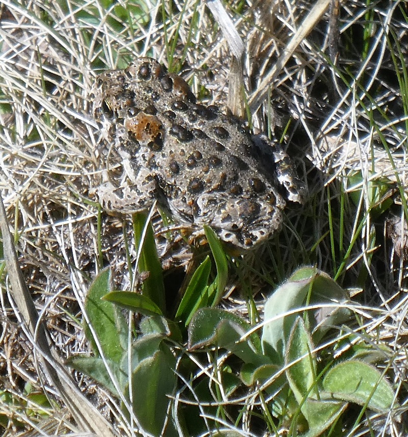
I spotted a few Yosemite Toads hopping through the grass. It is a threatened species, likely to become endangered in the foreseeable future throughout all or a significant portion of its range. It is indigenous to California, found only in a 150 mile span of the Sierra Nevada Mountains from Ebbetts Pass in Alpine County in the north to Fresno and northern Inyo Counties in the south. It is a medium-sized toad, usually about 1.2 to 2.8 inches in length, found in wet meadows and forests at high elevations. Once abundant, this species has been in dramatic decline for several decades and is now found primarily on publicly managed lands at high elevations, including streams, lakes, ponds, and meadow habitats located within national forests and national parks. They really do blend in well with the vegetation. Can you spot it in the first picture?
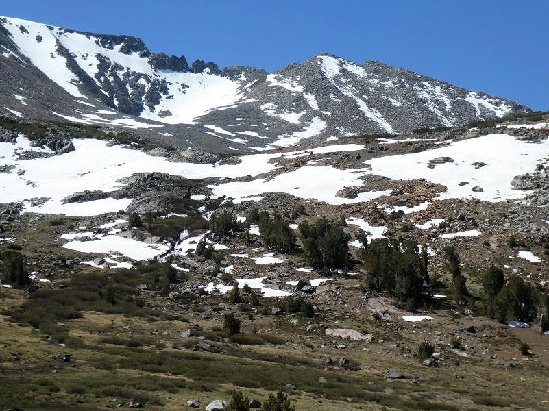
It was time to do some uphill through the snow.
I took a look back at the view that included Spillway Lake and the way I had hiked, hoping to catch a glimpse of the others that I knew were hiking this today but I couldn’t see them.
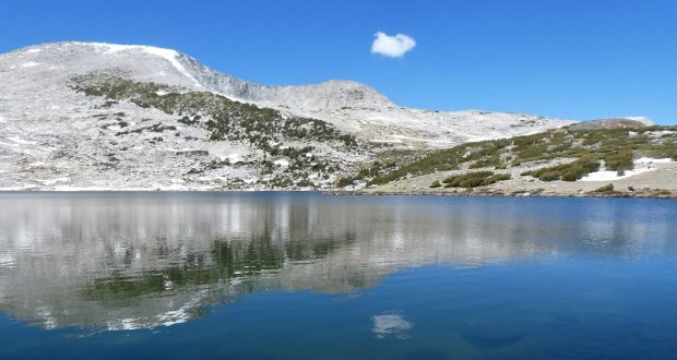
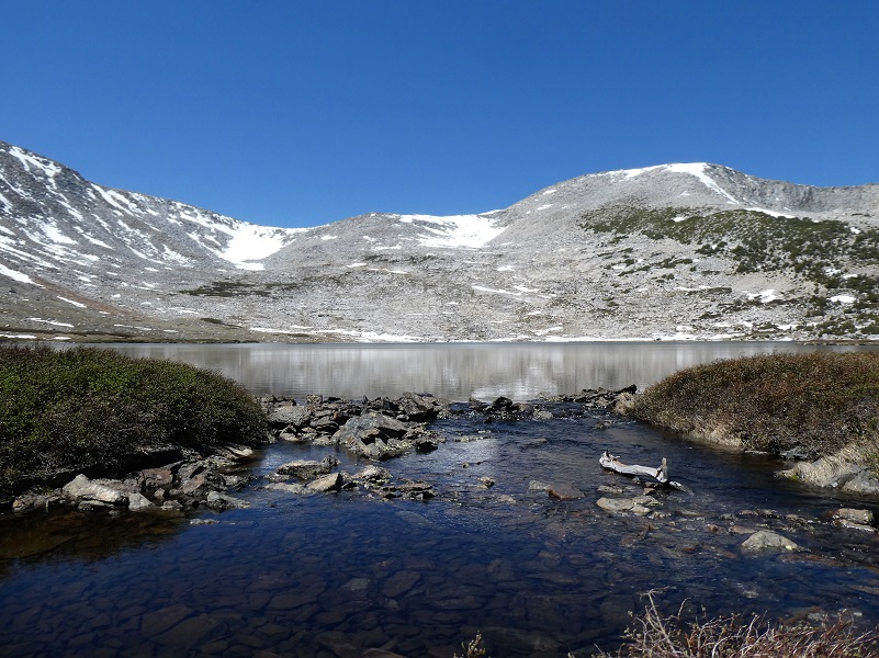
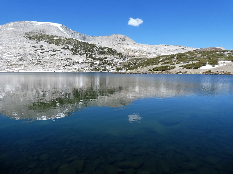
I soon reached Helen Lake (10,945′ elevation).
This beautiful lake is named after John Muir’s youngest daughter, Helen Lillian Muir. She was born January 1886 in California and died in 1964. She married Buel Alvin Funk in 1909 and moved to Belleville in San Bernardino County, California. Helen was often sick and the doctors thought that the desert air might help her health improve.
Belleville was a mining boomtown near Holcomb Valley and although the gold rush that hit this area from about 1860 to 1870 was long over, hard rock mining still took place up to about 1919. Helen’s husband Buel is listed as a Farmer on the 1920 through 1930 census in Belleville, owning their property after the 1910 census. The Funks continued to live in Belleville til at least the 1930 census and Buel died in 1934. Helen died in Spokane, Washington and is buried at the Bellevue Cemetery and Mausoleum in Ontario, California.
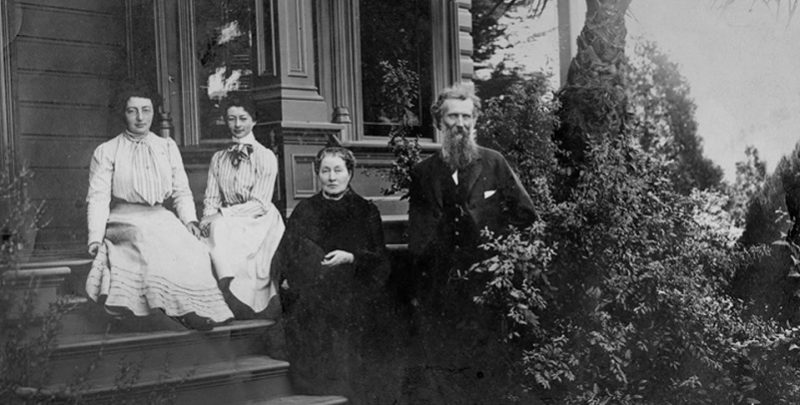
John Muir with wife Louie (Louisa) and daughters Helen and Wanda on the front steps of the Martinez home (Photo Courtesy National Park Service)
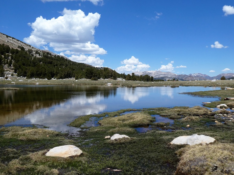
There was a bit of wind so not the mirror reflections that we sometimes see, but it was still very pretty.
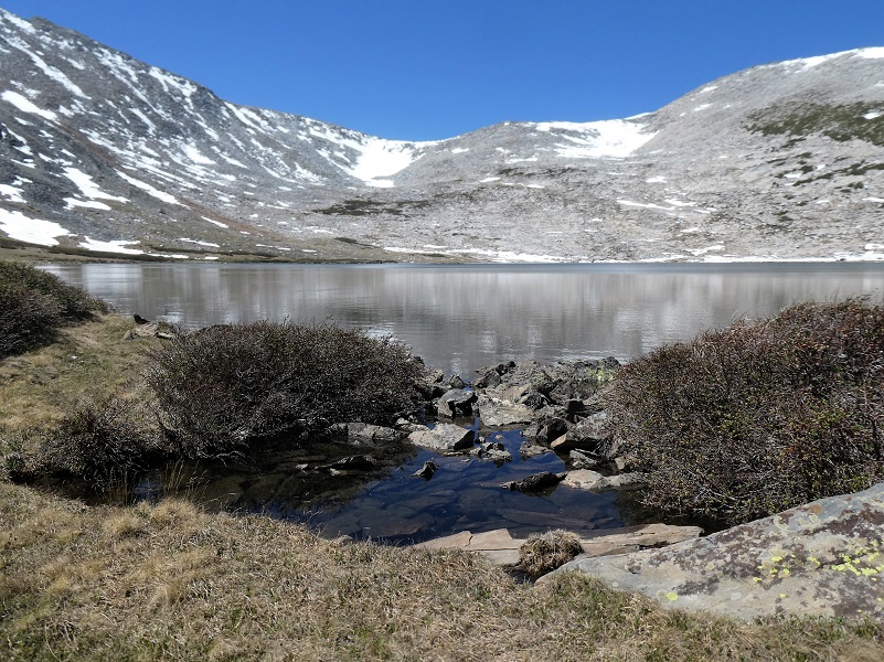
I pulled up a rock and ate my lunch, noticing a tiny lone cloud that had appeared.
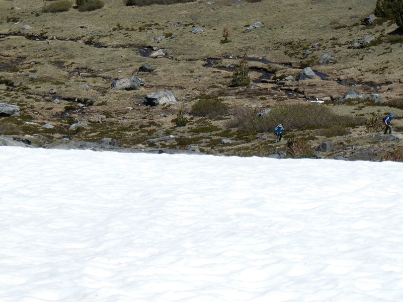
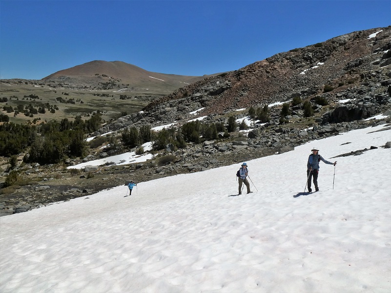
It was time to start heading down but before I did, I stopped to scan the landscape to see if I could see my hiking buddies. They are tough to see but I spotted them. Can you?
While I took it easy, watching them hike uphill through the snow, I took a glance at that view of Spillway Lake. Notice a few more clouds?


My hiking friends continued on to Helen Lake and I continued on down. The wind had slacked off some, so I wandered along Spillway Lake’s shores, watching cloud reflections in the lake.
As I hiked out, those clouds continued to build until the sky was all gray and I could hear a distant rumble of thunder. Was I going to get some rain and would I make it back to the car before it started? Well, I did get back to the car before it started raining, left a note on my friend’s car that I had made it back and left, then it started to come down. It was a nice smell and happy to exercise the windshield wipers as I drove home. Bugs weren’t an issue on this hike but they sure can be up here. I remember one time that our pants and shirts were covered in mosquitoes. If this happens to you, get higher up on the hill above Spillway Lake and they won’t be so bad.
Dog Hike?
No, dogs not allowed in Yosemite National Park Wilderness.
Doarama:
What is a Doarama? It is a video playback of the GPS track overlaid on a 3 dimensional interactive map. If you “grab” the map, you can tilt it or spin it and look at it from different viewing angles. With the rabbit and turtle buttons, you can also speed it up, slow it down or pause it.
Helen and Spillway Lakes Doarama
Map and Profile:
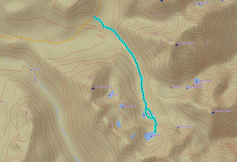
Helen and Spillway Lakes Topographic Map

Helen and Spillway Lakes Profile
Sources:
John Muir: A Passion for Nature NPS
Yosemite Toad US Fish & Wildlife
Prior Blogs in the Area:
Hiking up Yosemite’s Mono Pass Trail to Helen Lake July 10, 2019
Hiking to Spillway and Helen Lakes July 6, 2018
Hiking up to Spillway and Helen Lakes August 1, 2017
Hiking up to Spillway and Helen Lakes June 29, 2016
Hiking on the Mono Trail to Spillway and Helen Lakes June 8 2014
Hiking and Fishing High Lakes along the Mono Pass Trail August 14, 2013
Hiking with the Yosemite Toad to Helen & Spillway Lakes June 7, 2013

