I love to hike up the Mono Pass Trail. There is something about those views of Mono Pass, up Parker Pass and Kuna Crest that make me feel like I am on top of the world. But clouds make it extra special, casting shadows on those multi-colored mountains, changing the colors with every cloud.
Where: Yosemite National Park
Distance: 10.22 Miles
Difficulty: Moderate
Elevation Range: 9,596′ – 10,963′
Date: July 6, 2018
Maps: Falls Ridge and June Lake Topogs
Dog Hike? No
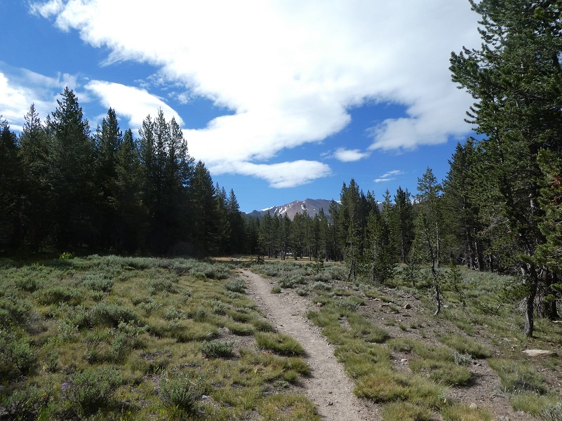
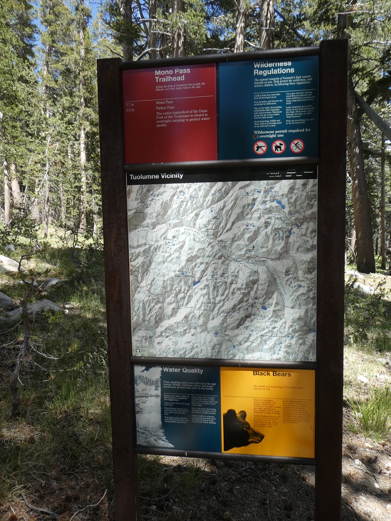 We headed east on Tioga Road, parking our car at the Mono Pass Trailhead, about 5.6 miles east of the Tuolumne Meadows Campground and 1.4 miles south of Tioga Pass. We put our snacks and cold drinks for after the hike and anything else that a bear might find irresistible in the bear box and used the restroom. We really sprayed down with mosquito repellent because we knew those skeeters were out in force but I sure hopped that the forecasted breeze would blow them away from us on our hike.

We headed up the trail and about 1/3 of a mile along the trail, we needed to cross the Dana Fork. We had brought our Crocs in case we needed to cross through deeper water but we lucked out. I found some rocks to walk across. Gail started across a skinny log but gave up on that pretty quick, going for the rocks to get across, but it made a nice photo.
Beautiful flowers were along the trail.
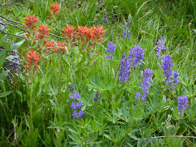
Indian Paint Brush and Lupine (Photo by Gail Gilbert)
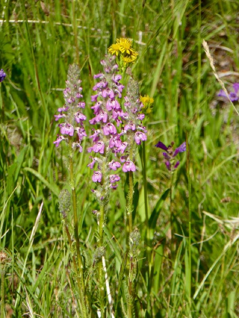
Little Elephant Heads (Photo by Gail Gilbert)
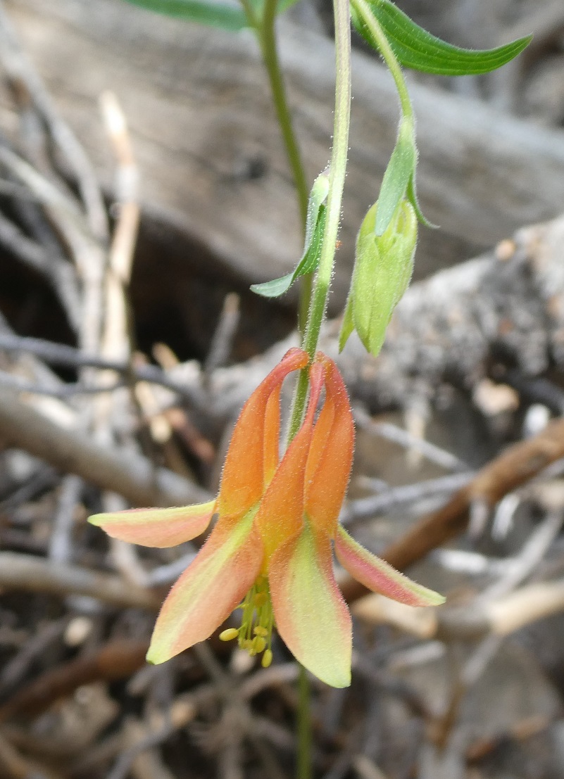
Crimson Colombine

This trail was utilized for silver mining that occurred in this area as early as the 1860s. The largest mines were the Golden Crown and the Ella Boss but there were many smaller mining efforts in this area. The Golden Crown Mine was established in 1879 by Orlando Fuller during the Tioga silver boom that also produced Bennettville and the Great Sierra Mine near Tioga Pass. Although the potential of these mines was talked up quite a bit, they were abandoned by 1890. The Mono Pass Trail passed right by what is left of log cabin once occupied by one of those miners. Each time I pass by this cabin, it is more disintegrated.
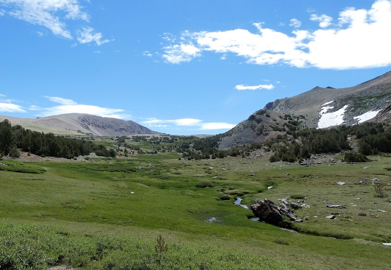
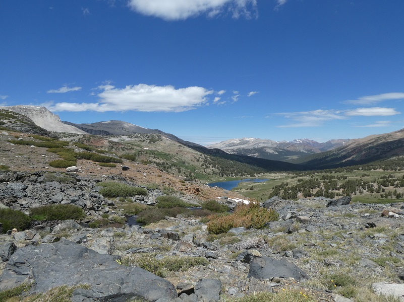
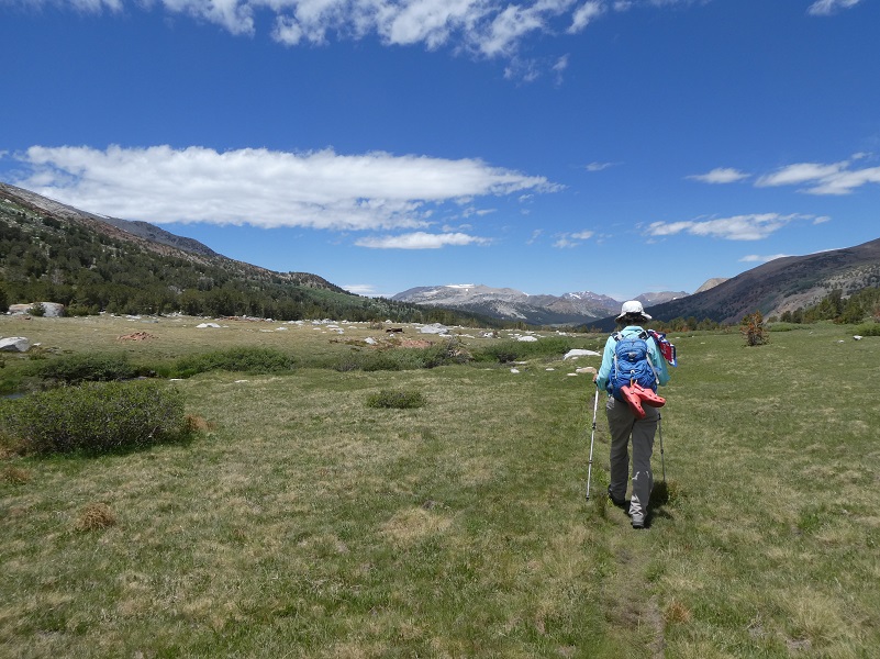
The trail gave us peeks near our destination, following the hillside above a meadow, then it split. The left fork went to Mono and Parker Passes and the right fork led to Spillway Lake. We took the right fork.
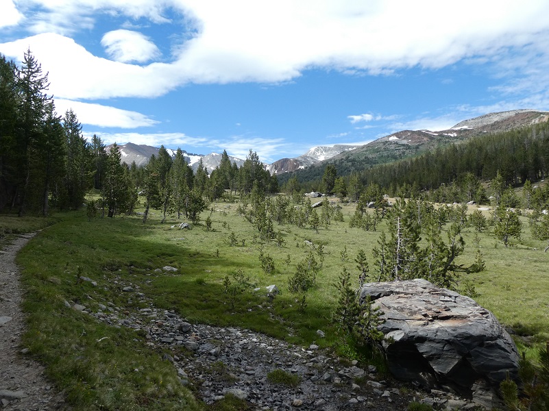
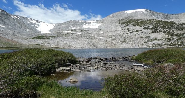
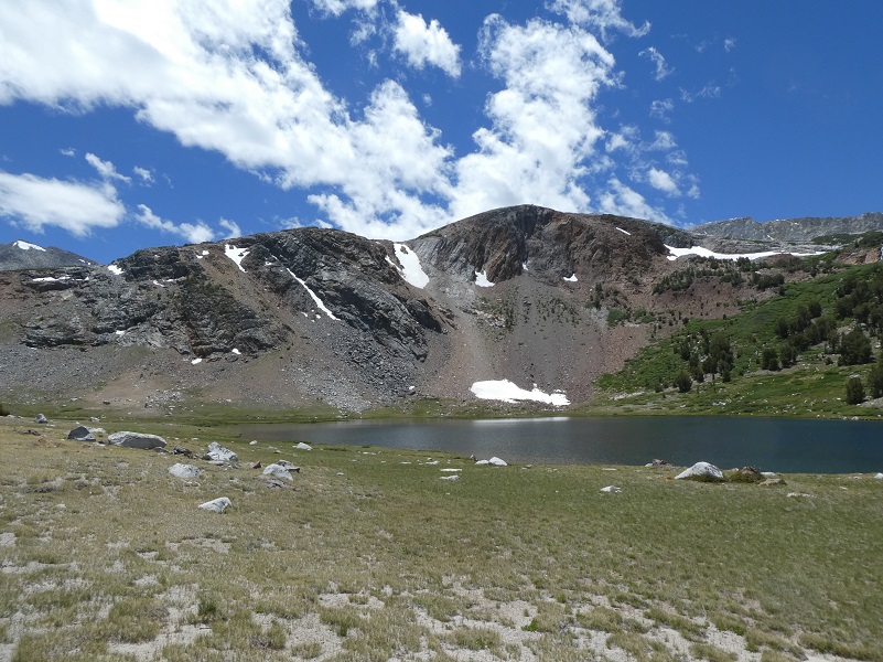
The trail then followed up along the small creek that comes out of Spillway Lake. I always love this view when you start approaching Spillway Lake and the colorful mountains show themselves.

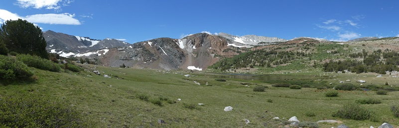
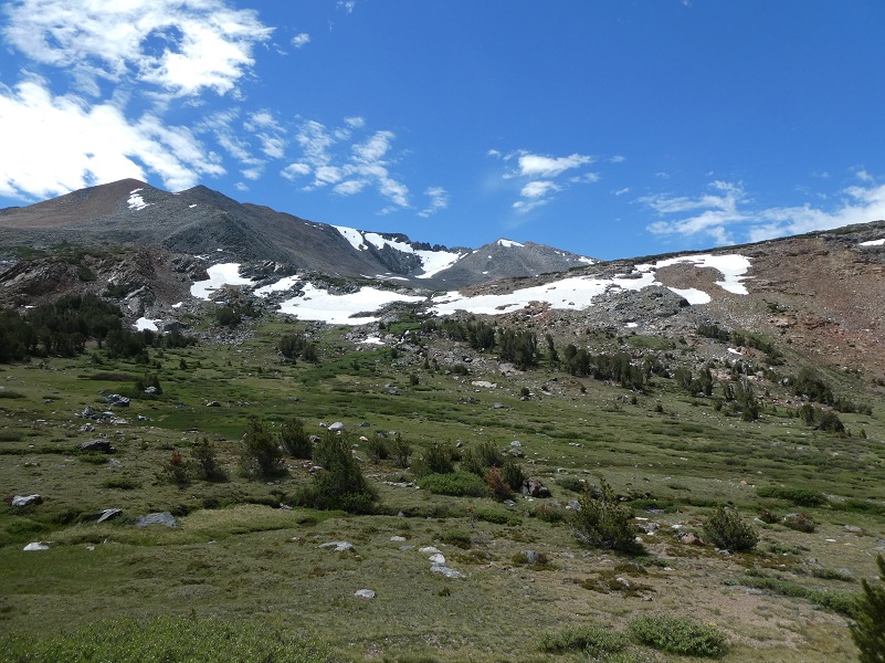
The trail ended at Spillway Lake (10,476′ elevation) and we headed cross country up the hill for a couple of reasons. The mosquitoes can be terrible in this area but we had a bit of a breeze and they weren’t too bad. Getting out of that meadow area got us away from the mosquitoes and it helped build our needed elevation gain to go up to Helen Lake. As we walked, we had a beautiful view of Spillway Lake, the Kuna Crest and the surrounding mountains.
I was also gaining elevation to cross a small creek and boggy area that feeds into Spillway Lake a little higher where it was narrower and dryer.
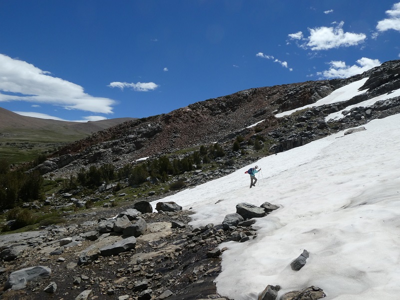
We had our approach up to Helen Lake in sight and we were going to head up to the left of the small creek that flows out of Helen Lake, working our way through the rocks and snow the easiest and safest way.
It was time for us to start heading up hill, through rocks at the lower portions, then through snow at the top.

We reached Helen Lake (10,945′ elevation), named after John Muir’s youngest daughter, Helen Lillian Muir. She was born January 1886 in California and died in 1964. You can read more about her in my previous blogs linked at the bottom of this blog.

When we looked closer, we discovered tiny flowers tucked in among the rocks.
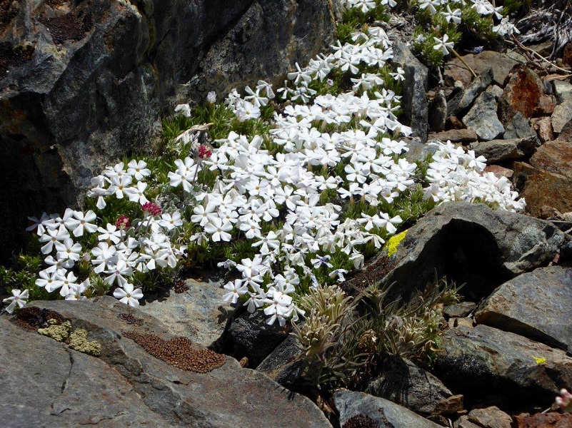

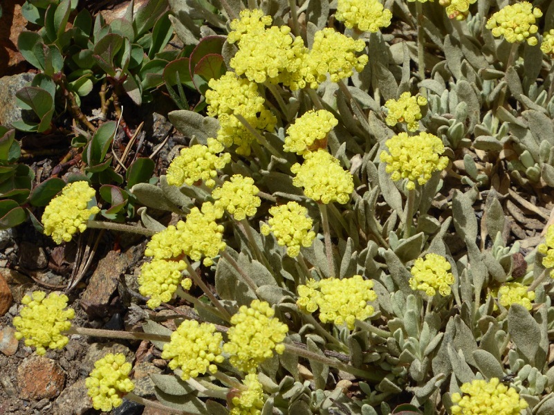
Photo by Gail Gilbert

Photo by Gail Gilbert
Helen Lake was the perfect lunch spot and we located the perfect rocks for that perfect view with those clouds floating by.
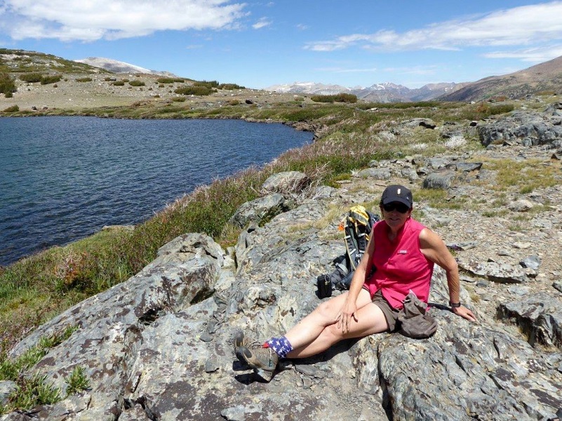
Photo of me by Gail Gilbert
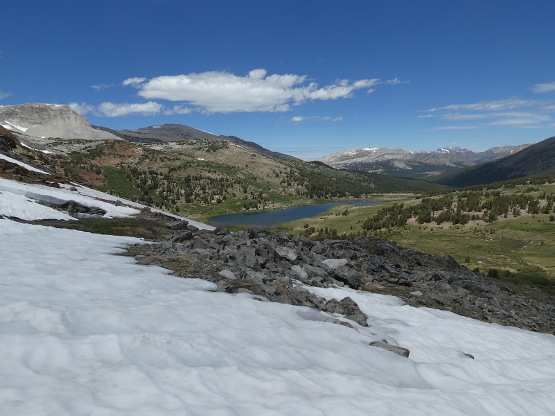
It was soon time to head back.


Photo of me heading down from Helen Lake by Gail Gilbert
I loved those views that we saw as we headed down and as the clouds cast their shadows, the light on the colored mountains changed often.
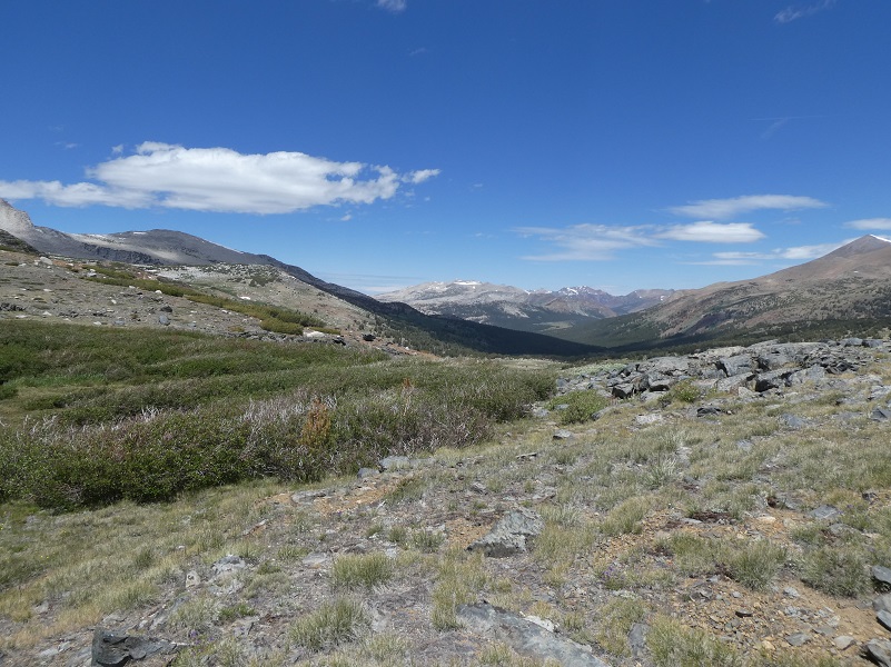

We headed down the easiest and most direct route to Spillway Lake.
We caught up with the trail and headed back down.
We lucked out and had a nice breeze all day. That was a good thing because it kept us cool but it was even a better thing because it kept the mosquitoes and gnats away from us. Those flying critters can be really bad in the Spillway Lake area. We brought bug protection for our heads just in case but didn’t need them this time but I recall some horrible times that we had in this area with our pants and shirts covered in mosquitoes. If this happens to you, get higher up on the hill above Spillway Lake and they won’t be so bad.
Dog Hike?
No, dogs not allowed in Yosemite National Park Wilderness.
Map, Profile and Doarama:
Helen & Spillway Lakes Doarama
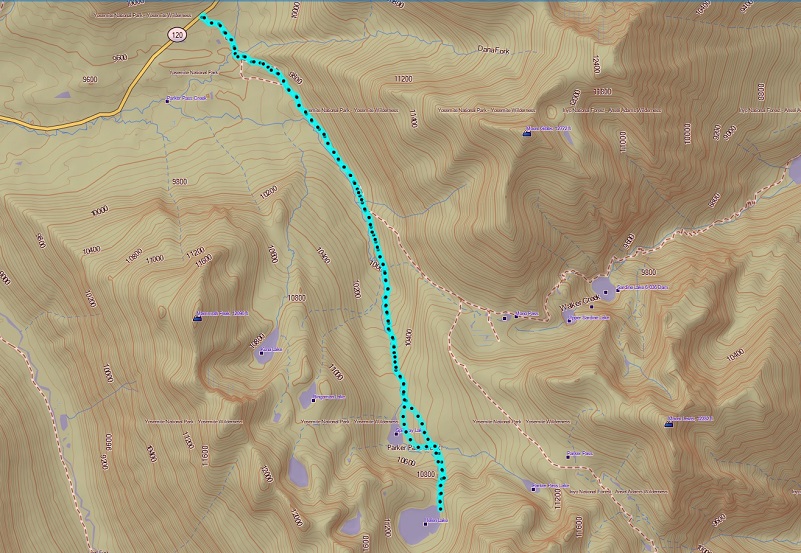
Helen & Spillway Lakes Topographic Map
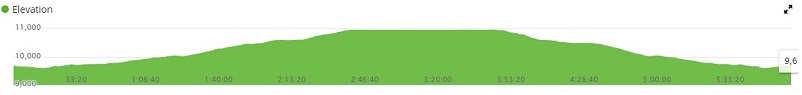
Helen & Spillway Lakes Profile
Sources:
Prior Blogs in the Area:
Hiking up to Spillway and Helen Lakes August 1, 2017
Hiking up to Spillway and Helen Lakes June 29, 2016
Hiking on the Mono Trail to Spillway and Helen Lakes June 8 2014
Hiking and Fishing High Lakes along the Mono Pass Trail August 14, 2013
Hiking with the Yosemite Toad to Helen & Spillway Lakes June 7, 2013