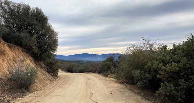
There was no rhyme or reason where I walked and wandered on old wagon roads and Off Road Vehicle trails near my house. I was getting some exercise in before Christmas with some bonus views.
I am trying something a little new on the Blog format, including a link to this track on CALTOPO at the top and under the Maps and Profile Section at the end that you can view or download. Please give me feedback on this change!
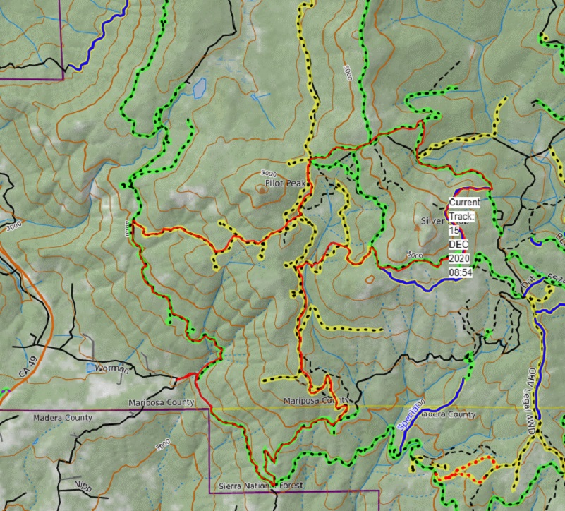
Distance: 10.33 Miles (but you can go shorter or longer)
Difficulty: Moderate
Elevation Range: 3,418′ to 5,042′
Date: December 24, 2020
CALTOPO: Worman’s Mill Loop Around Silver Knob
Dog Hike: Maybe
I started my walk across from Worman’s Mill, parking off the road in a wide spot at the intersection of Road 601 and Worman Road, making sure I wasn’t blocking anyone. I had taken a walk up in this area every week in later spring, watching wildflowers bloom but I wasn’t prepared for what I would see when I first parked across from Worman’s Mill. It had been dismantled!
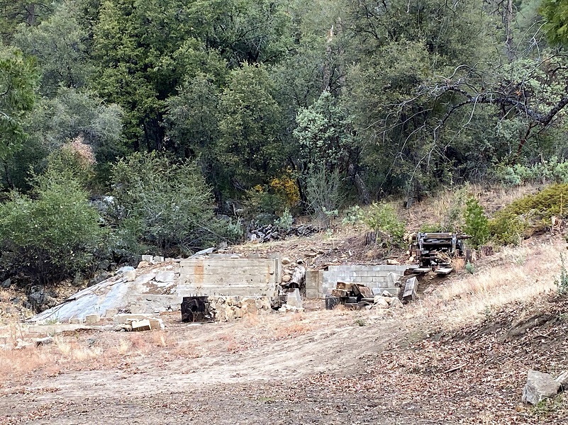
This is what it had looked like March 31, 2020 on one of my hikes in the area.
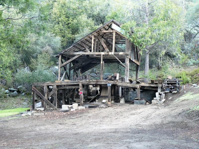
There is an outstanding book by Zelda Garey Dubel on the history of our area called To Yosemite by Stage: Raymond to Wawona and Remembering Cedarbrook Inn. It is full of interesting history that I often reference and it has a section on the Worman family and Worman’s Mill. That is where my information comes from for this blog.
The mill was owned and operated by two brothers, Daniel and Russell. They first left their home of Augusta, Illinois with their father to Bailey Flat around 1907 where they lived on a ranch. After a bit of traveling between Illinois, they returned to the area in 1910, purchasing a ranch at Nipinnawasee. Their father had died by this time but their mother Mary homesteaded near the ranch and in 1920/21, Daniel and another brother George received patents for acreage in the area. They were listed on census as ranchers, had an apple orchard, raised hogs, cattle, turkeys, sawed lumber and carried the mail from Raymond to Wawona. The Worman Brothers Mill operated from 1918 to 1938, most of the logs coming off of the Worman Ranch but some came off of federal land. They had a water powered sawmill, gravity fed through a ditch about 1 1/2 miles long that was initially dug to run one of the placer mines near Ahwahnee. Cross cut saws were operated by two men who fell the trees and the logs were first brought to the mill by five horses pulling a high wheel cart. Later a 60 Caterpillar tractor moved the logs down. The mill had the first electricity in both Madera and Mariposa counties. Dan had located an abandoned Pelton water wheel with the date 1893 in the Mammoth Mine on the Fresno River in Grub Gulch, purchased it and moved it to the Worman Ranch.
In 1960, Dan was injured when he was pulling a tree with a tractor and a log rolled over him. He was taken to a hospital in San Francisco and after that the brothers retired, selling the property. George passed away in 1976, Russell in 1980 and Dan in 1984. The Harlow Fire in 1961 came up to the boundary of the Worman property.
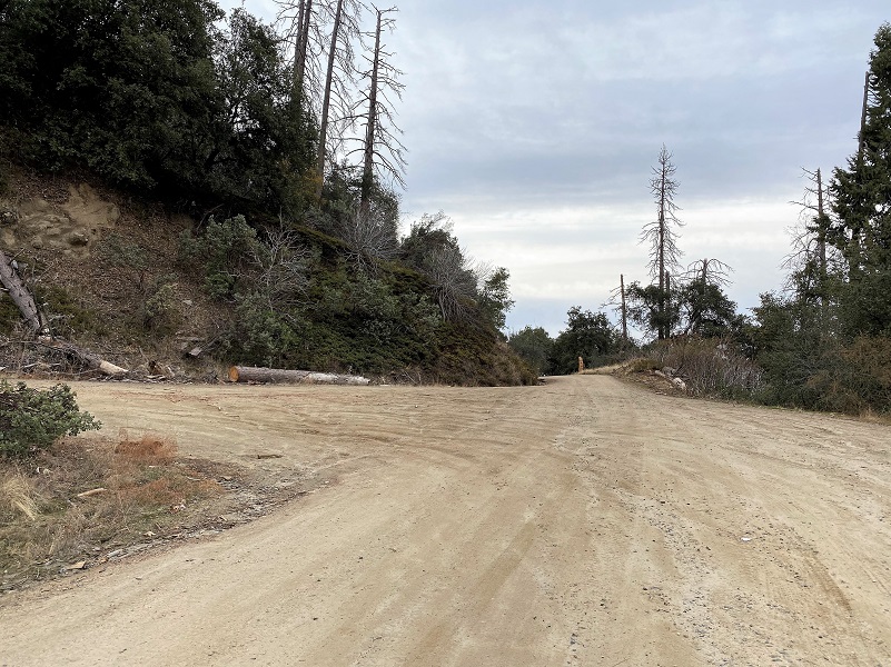
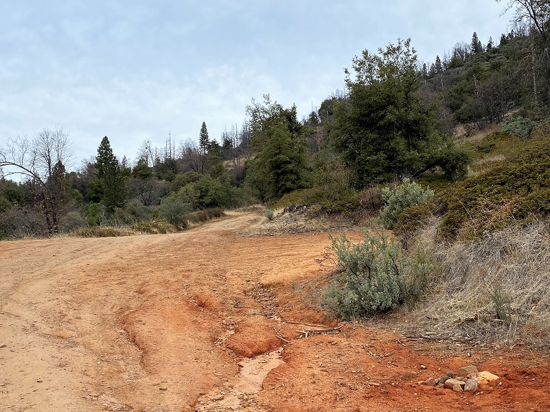
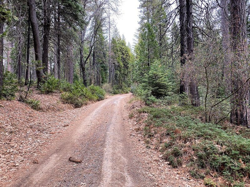
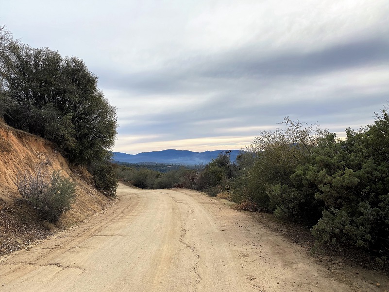
I headed up Worman Road which turns into N-6S24, immediately noticing some new down trees. The wind must have been a little fierce and sure happy to have a calm day for my hike.

I hadn’t walked too far until I came to the first road that branched off from the road, 5S16, and I took it to the left.

When an opening between the trees occurred, it revealed some pretty views, this one looking toward the Ahwahnee/Oakhurst areas.

And here is Miami Mountain (4,327′ elevation) and you click on the picture, you can see Miami Lookout at the top.

Looking directly at Indian Hill, Windy Gap and Crooks Mountain.

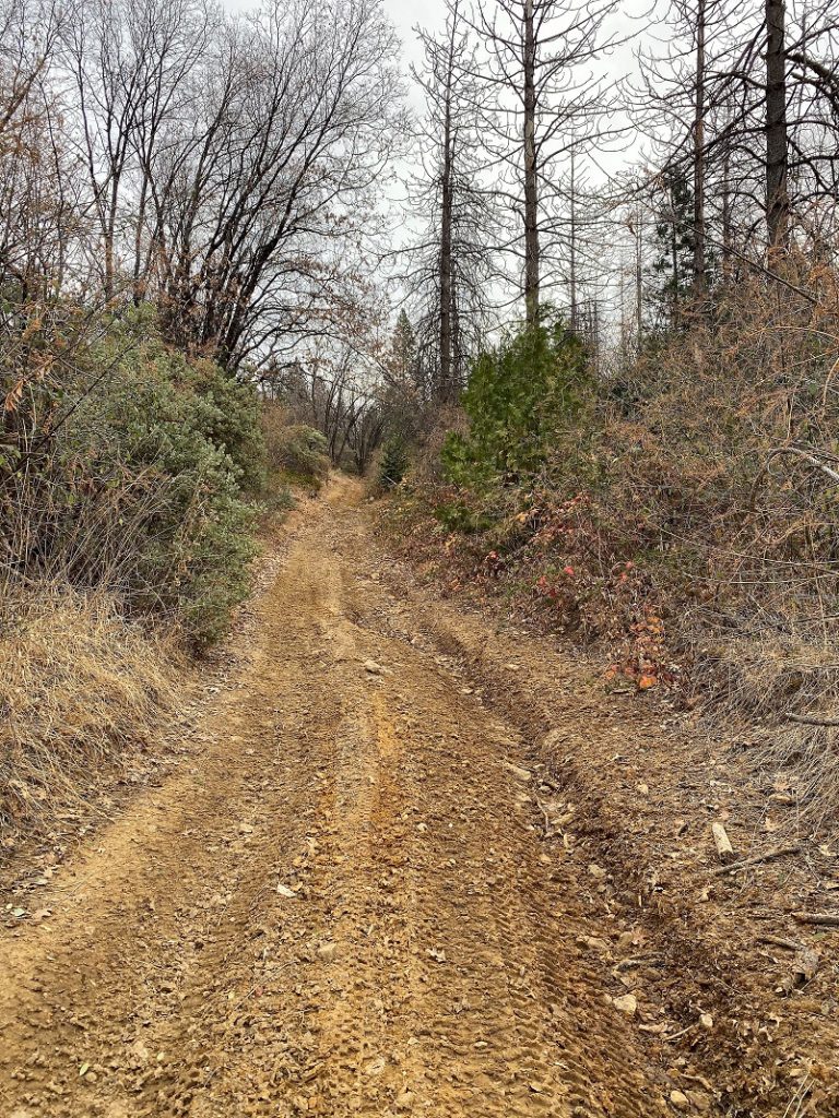
I took the road marked 5S12X on the right. The marker indicated that cars were not allowed and there is a reason for that.
Views looking at Highway 49 as it heads toward Mariposa.

Cars would not get too far up that road and if they did venture up, there is no turn around when they get into trouble. Quads and motorcycles had traveled the road though.
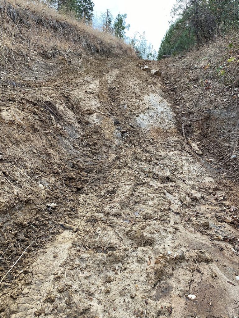
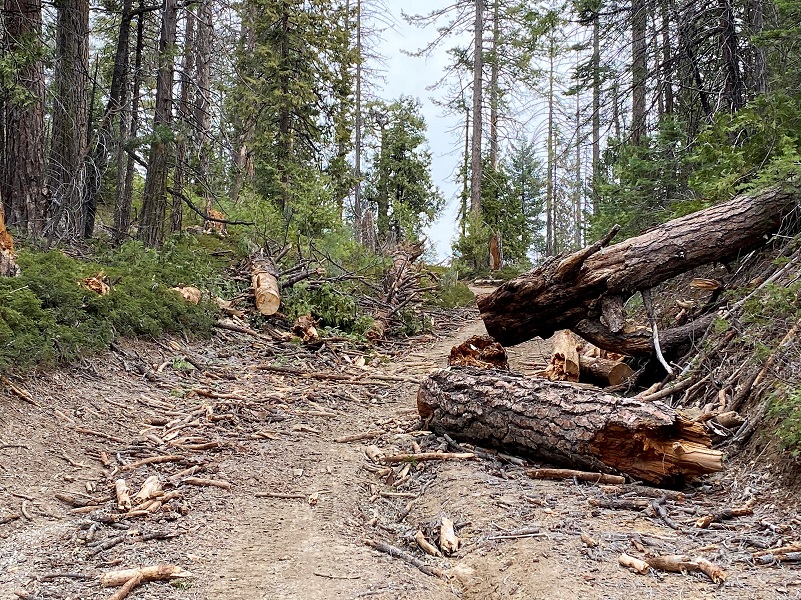
The same trees were down and across the road that were there last spring when I hiked it but vehicles had created “roads” around them.
After I topped off on this road and started heading slightly downhill, I reached the junction of 5S12. I walked along the edge of O’Neil’s Meadow but didn’t stop by for a visit. I thought of John Ruffian O’Neal who homesteaded it and Cora Matilda Ives, cattle rancher and author, who later lived in the meadow.
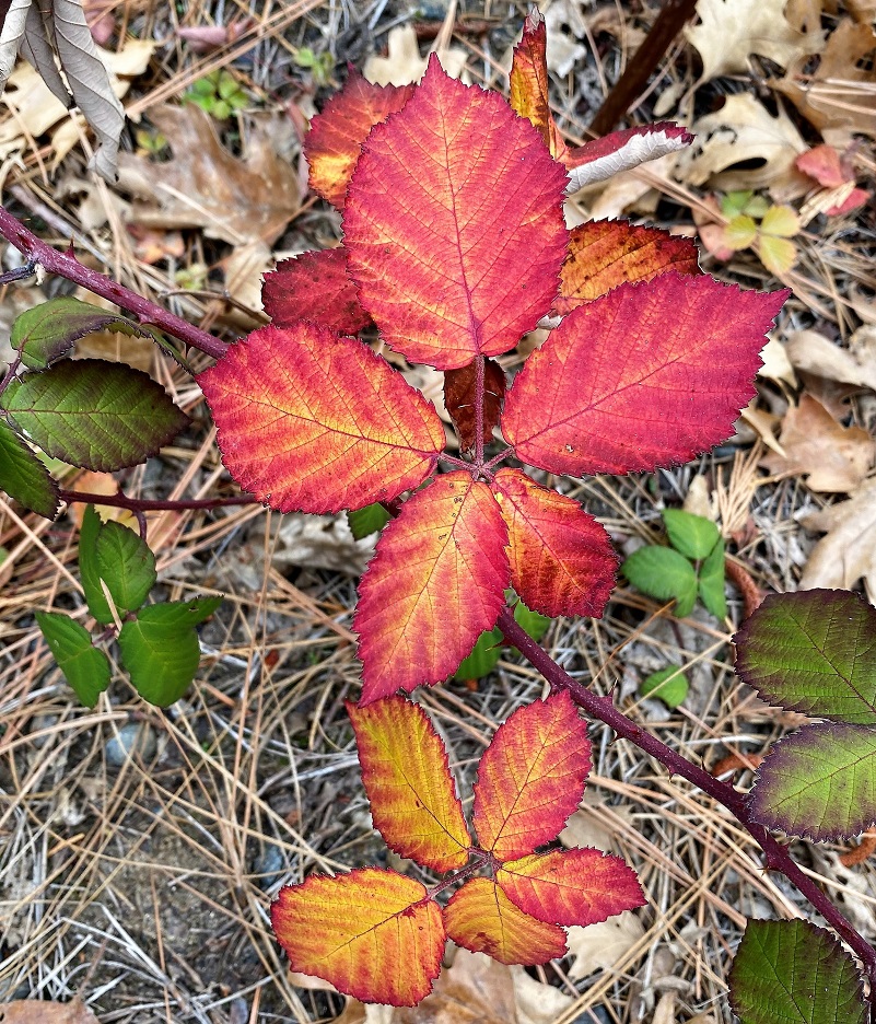
Boy, some of the blackberry leaves sure were a brilliant red.
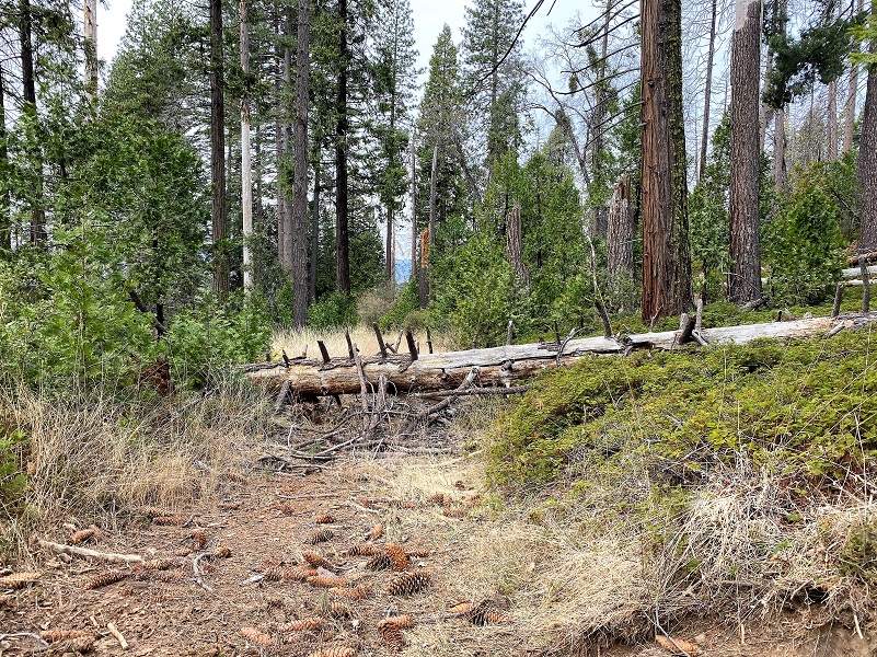
I continued about 3/10th of a mile to the signpost marked 5S12. Some recent down trees had been cleared, so fresh that green leaves were on them. If you recall an earlier blog on John Eldridge “Jack” LaTouche, one of his homestead patents was along the left side of this road.
I took a trail, 21E239, to circle higher around Silver Knob.
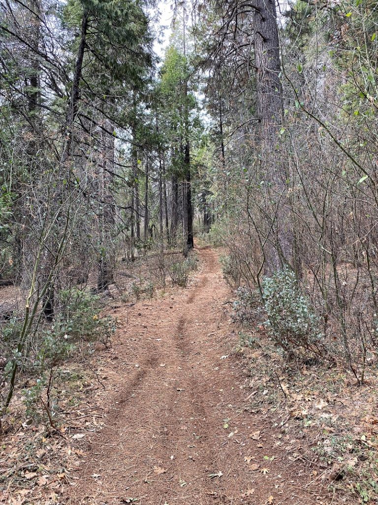
I worked my way back to main roads.
There is so much history on the roads in area, full of interesting people who lived in the area. Native American families, early wagon roads to Yosemite, lumber operations, mining, homesteading and cattle were all part of this history.
There are many roads and trails to explore in this area and many don’t show up on Topographic Maps. CALTOPO or using a download to the Avenza Map APP are the best that I have found. Links are below the Maps and Profile section toward the end. Other than when I was at my car, I didn’t see anyone on this hike but it does get use from motorcycles, 4 wheelers, bikes, horses and hikers. I suggest you be prepared because the motorcycles can fly by in an instant but you can hear them coming. I try and avoid the weekends in this area for that reason.
Dog Hike? Maybe
This could be a good dog hike if your dog is a good fit. The road is lightly traveled by vehicles so you would need to keep an eye open for a vehicle coming around one of the curves. In the summer you could run into a rattlesnake out here also. This is mountain lion country, along with other wildlife that you could encounter. There were a couple of areas with running water on my hike but it can dry up in summer, so you would probably need to pack dog water.
Doarama:
What is a Doarama? It is a video playback of the GPS track overlaid on a 3 dimensional interactive map. If you “grab” the map, you can tilt it or spin it and look at it from different viewing angles. With the rabbit and turtle buttons, you can also speed it up, slow it down or pause it.
Hiking From Worman’s Mill By Pilot Peak And Silver Knob Doarama
Maps and Profile:
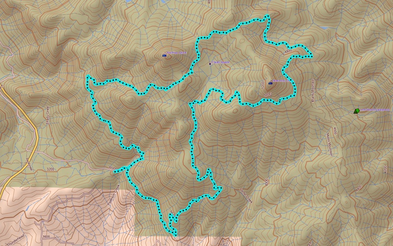
Worman’s Mill By Pilot Peak And Silver Knob Topographic Map
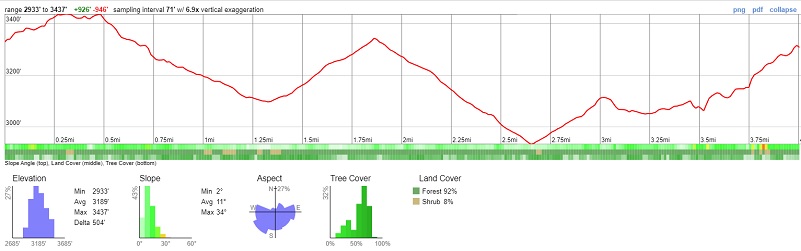
Worman’s Mill By Pilot Peak And Silver Knob Profile
A great interactive mapping source for these roads can be found at Sierra National Forest ORV Maps where you can download the Off Road Vehicle Maps to follow the roads and trails. Downloading them to the Avenza Map App from that site, you can even track your adventure to share with others or just save.
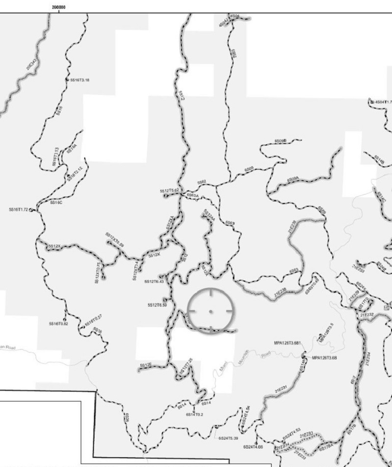
Motor Vehicle Use Map (Sierra National Forest Maps & Publications)
CALTOPO has some free options for mapping and here is a link to my hike this week: Worman’s Mill Loop Around silver Knob CALTOPO
CALTOPO Track Worman’s Mill Loop Around Silver Knob Zoomed https://caltopo.com/m/CAQ3
Sources:
Dubel, Zelda Garey, To Yosemite by Stage, Zulu.com, Third Edition, 2011.
Wawona’s Yesterdays (1961) by Shirley Sargent
Rare brochure for Yosemite Stage Co. 1900
Rules and Regulations Yosemite National Park, United States National Park Service, 1925
Sierra National Forest ORV Maps
Prior Blogs in this Area:
Walking up a Dirt Road: Westfall Picnic Area up Miami Mtn Road June 2, 2020
Walking up a Dirt Road: Worman’s Mill Loop Along Sunny and O’Neals Meadows May 20, 2020
Walking up a Dirt Road: Worman’s Mill to O’Neals Meadow Loop May 5, 2020
Walking up a Dirt Road: Worman’s Mill to the Lone Sequoia April 28, 2020
Walking up a Dirt Road: Worman’s Mill to Pilot Peak April 22, 2020
Walking up a Dirt Road: Worman’s Mill to O’Neals Meadow April 15, 2020
Walking up a Dirt Road: Worman’s Mill to Sunny Meadows April 10, 2020
Walking up a Dirt Road: Worman’s Mill and Beyond March 31, 2020


