TUOLUMNE COUNTY – Firefighters are gaining the upper hand on the Rim Fire, with 70% containment of the blaze that has now grown to 235,841 acres. The estimated date for total containment is Sept. 20.
A bit of very light precipitation on the fire today helped to calm the fire activity a little, but it was reported to be in the hundredths of an inch.
The forecast calls for a 20% chance of showers or thunderstorms into Tuesday, Sept. 3, but gradually warmer and drier conditions are expected throughout the week. L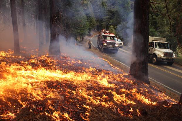 ight flashy fuels will dry out quickly as temperatures increase. Chances still exist for the fire to make short runs in surface fuels, allowing for some tree torching and spotting. Spotting has been observed up to 4 miles away on this fire.
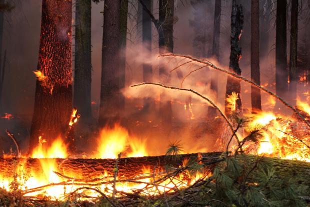
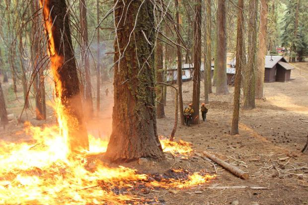
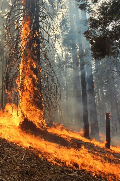
Firefighters dealt with very active fire behavior today on the south and east fire perimeters, with running surface fire, group tree torching, short crown runs and spotting.
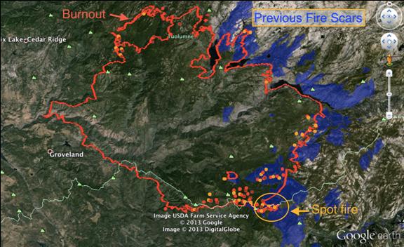
Moderate rates of spread were observed both in advancing fire and backing fire on the northern and western fire perimeters. Good progress was reported with burnout operations on the northwestern and southwestern edges of the fire.
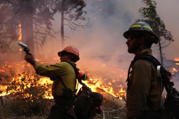 In several photos taken by Mike McMillan and provided by the US Forest Service, firefighters can be seen using Very pistols – a single-shot, snub-nosed pistol designed to fire flares.
They have been repurposed to be used in the wildland fire service to conduct burnout and backfire operations in areas where it would be inappropriate or too dangerous to place personnel.
 Planners say that Wildland Fire Modules will be assigned north of Cherry and Eleanor Lakes to monitor the fire’s advancement and contain its spread in the rocky terrain where there are only fingers of sparse fuels. Direct and indirect line construction continues, with burnout operations as necessary south of Harden Lake in Yosemite National Park.
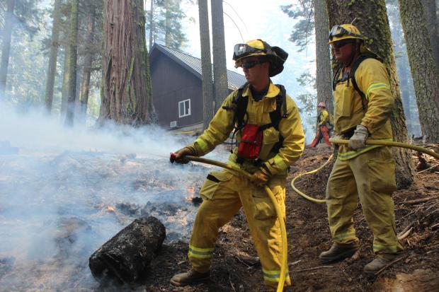
Continued burnout operations are also planned in Yosemite National Park along Tioga Road as favorable conditions allow. Crews are doing patrol and mopup in all areas except the southeastern edge.
 Mandatory evacuations continue south of Highway 120 towards Yosemite National Park north of the Old Yosemite Road. There is a closure of Tioga Road west of Yosemite Creek Picnic Area.
A Stanislaus National Forest closure order is in effect for locations near and in advance of the fire. The evacuation advisory continues for areas east of Highway 108 from Ponderosa Hills north to Pinecrest.
 Several locations to the west side of Yosemite National Park have also had closures implemented as a result of the fire’s spread.
Access and difficult terrain remain concerns for crews and equipment, with very active fire and extensive spotting continuing to hamper suppression efforts and pose risks to firefighters. Type 1 helicopters are providing point protection and cooling areas where direct line construction can be achieved safely.
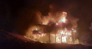
 Approximately 4,500 structures remain threatened in advance of the fire on both the east and west sides. The fire is expected to continue its eastward spread father into the west side of Yosemite National Park east of Aspen Valley.
Due to inaccessible steep terrain and extreme fire behavior, suppression efforts on active portions of the fire are being significantly challenged. Heavy reliance on aviation resources has been critical in an effort to slow the fire’s progress to allow suppression resources to establish indirect control lines in areas where accessibility and safety can be achieved. The availability of heavy aircraft is pertinent to the success of suppression efforts.
Continued warmer and drier weather is forecast for the next several days, which will elevate control concerns and slow burnout progress. Remotely piloted aircraft is providing real-time visual and infrared intelligence on the fire.