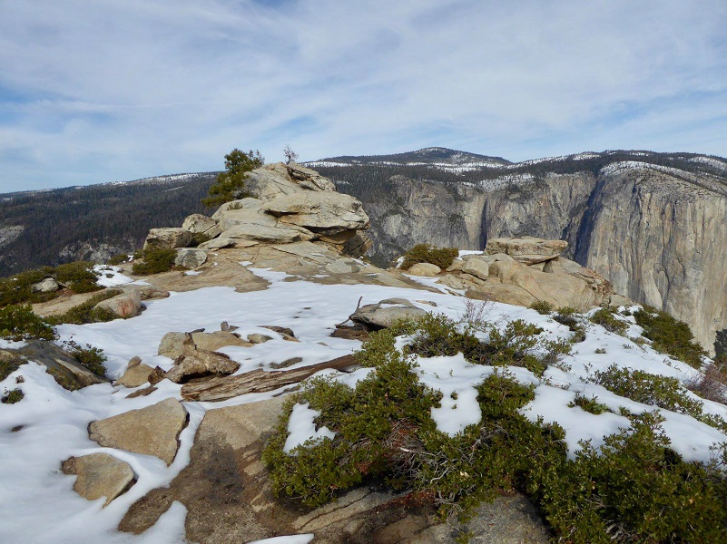
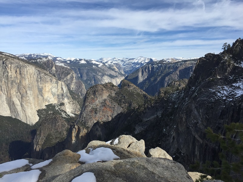
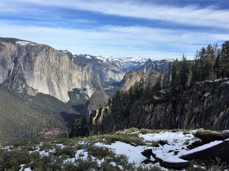
Fresh snow and our local mountains look especially beautiful! It was time for me to hike somewhere special to capture those snowy views of Half Dome and Tenaya Canyon. If you are looking for a great way to burn off those holiday calories or if you just want to check out the killer views from the famous points along the Pohono Trail, this could be your hike. A 3,000′ foot gain will definitely help put a dent in any calories you may have overindulged in and if that climb doesn’t take your breath away, the views of the snowy sierra surely will!
Where: Yosemite National Park
Distance: 10.10 Miles
Difficulty: Moderate to Strenuous
Elevation Range: 4,377′ – 7,386′
Date: November 26, 2018
Maps: El Capitan
Dog Hike? No
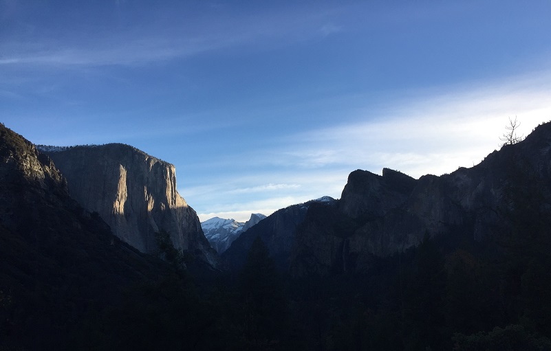
We parked our vehicle at the upper parking lot at the east end of the Wawona Tunnel and stashed our goodies in the bear box. Snow capped Half Dome and Clouds Rest were silhouetted by the early morning light, frames by El Capitan and Glacier Point. Pretty nice view! After taking that view in, we headed up the Pohono Trail that starts to the east of this parking lot.
 The trail was well signed at the junctions and we followed the signed toward Crocker Point. The trail crosses the old Wawona Stage Road after about a half of a mile and it can be a bit confusing which way to go but we kept on following the signs. The old Wawona Road was constructed around 1875 and was a toll road that took passengers from the Wawona Hotel to the Yosemite Valley. After a huge project that took twenty nine months, blasting through over 4,200 feet of granite, the Wawona Tunnel opened in 1933. The Wawona Road was then shortened and redirected through the new tunnel.
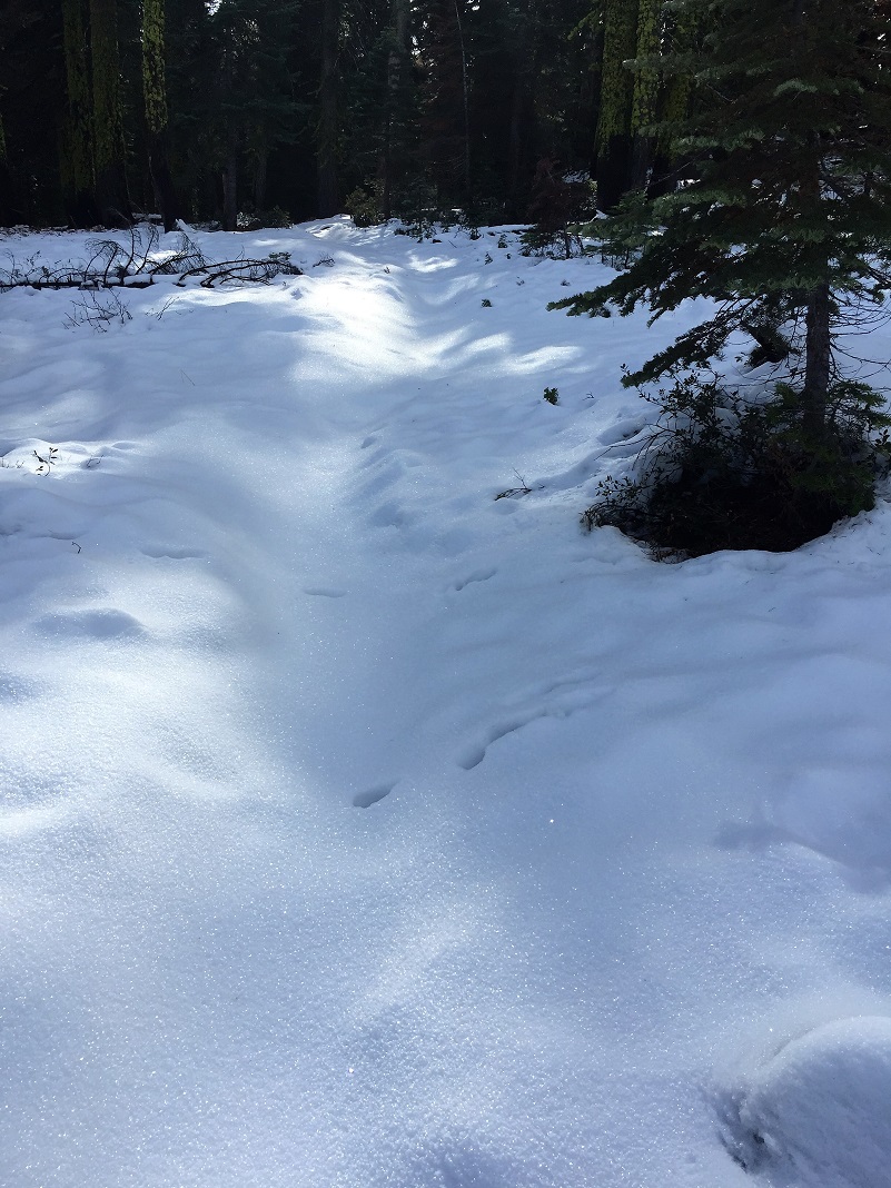
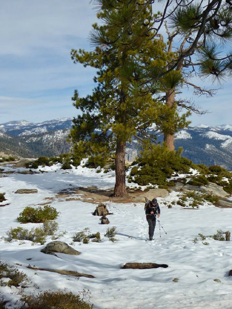
Steve led the way up the trail and it wasn’t long until the trail had a bit of snow on it and it was icy. I had packed my microspikes but didn’t end up putting them on. All of us were able to make it through the icy spots without incident. There is much more snow now and this hike would now be best with snowshoes.
There had been some human tracks on the snowy trail but they soon ended.
We headed up an unbroken trail with only animal tracks. We saw deer, squirrel, coyote and bobcat tracks. Oh, and this bear was heading up the trail in front of us with fresh tracks.
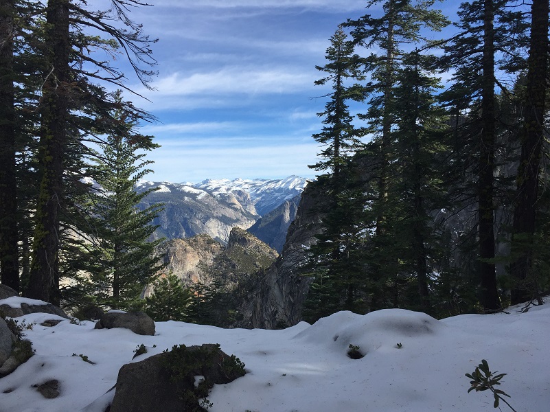
There were spots where we caught sneak previews of the incredible views soon to open up in front of us.
We decided to bypass Crocker and Stanford Points, stopping at them on the way back. We headed straight for Dewey Point.
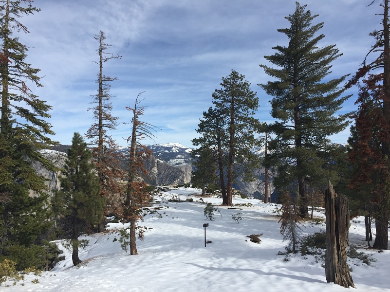
My oh my, what a view! I love the approach to Dewey Point, 7,200′ elevation. The high country just seems to unfold quickly before your eyes
Dewey Point is named after Admiral George Dewey of the Spanish American War. He is best known for his victory at the Battle of Manila Bay during the Spanish-American War. He was also the only person in the history of the United States to have attained the rank of Admiral of the Navy, the most senior rank in the United States Navy.
We ate our lunch then headed back the same way we had come in.
We stopped at Crocker Point, official elevation at 7090′. Yosemite Valley Place Names by Richard J. Hartesveldt says that although there are two Crockers for whom the point could have been named, it is probably for Charles Crocker of the Central Railroad, since the point west of it is named Stanford Point, after Crocker’s associate, Leland Stanford.
We stopped at Stanford Point, the official elevation stated as 5,246. Yosemite Valley Place Names by Richard J. Hartesveld said that it was probably named for Leland Stanford of the Central Pacific Railroad fame and later the governor of California. A place called “Standpoint of Silence” is shown on early maps in the same locality and may be the same point.
 We continued on down the trail, back the way that we had come up, following the signs to the Wawona Tunnel View Parking Area. If you are talking and not paying attention, it is easy to make a wrong turn if you aren’t paying attention. Trust me . . .
A little bit before we reached the Tunnel View Parking lot, we could see another view opening up in front of us with Bridalveil Fall.
I like to do this hike after a fresh snowfall has coated the high country because those white mountains really set off the views from the points. This can also be a good snowshoe hike, even if you need to pack or carry your snowshoes up the first part, you will be rewarded handsomely by the views. Once Badger Pass is open, you can also snowshoe or ski from there to Dewey Point. But no matter how or when you do it, the views from each of these points is so incredibly beautiful. You looks straight down into the valleys and far off at the high country. My camera just cannot do it justice.
Dog Hike? No
Dogs are not allowed on the Tunnel View Trail.
Where Pets Are Not Allowed
- On trails, including the trail to Vernal Fall (however, pets are allowed on the Wawona Meadow Loop)
- On unplowed roads covered in snow
- In undeveloped and wilderness areas
- In public buildings
- On shuttle buses
- In lodging areas
- In all walk-in and group campgrounds/campsites, including Camp 4
- In any other areas, as signed
These regulations protect both pets and wildlife from disease and each other. The National Park Service has prohibited pets on trails for many years. In particular, some pets chase wildlife, pollute water sources, and can become defensive and dangerous in unfamiliar surroundings. Pet owners have the burden to assure their pet does not damage the park values for others in those areas where pets are allowed.
Yosemite Hospitality operates a dog kennel in Yosemite Valley from approximately late May through early September. Written proof of immunizations (rabies, distemper, parvo, and Bordetella) must be provided. Dogs must be at least 20 pounds (smaller dogs may be considered if you provide a small kennel). You can get more information about the kennel by calling 209/372-8326.
Map and Profile:
Tunnel View to Dewey Point Doarama
Sources:
http://www.undiscovered-yosemite.com/wawona-road.html
Schaffer, Jeffrey P. Yosemite National Park, A Complete Hiker’s Guide. Berkeley, CA: Wilderness Press, May 2008. Pages 290-292.
Yosemite Valley Place Names
Wikipedia George Dewey
http://www.ohranger.com/yosemite/poi/stanford-point
Autobiography of George Dewey 1916
Admiral George Dewey Library of Congress
http://www.yosemite.ca.us/library/yosemite_valley_place_names/#s
Hartesveldt, Richard J. Yosemite Valley Place Names. 1955
http://en.wikipedia.org/wiki/George_Dewey
http://kahtoola.com/product/microspikes/
Prior Blogs in this Area:


