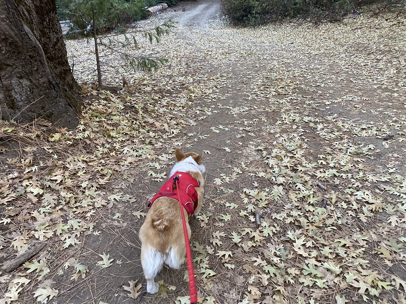
After hiking Nelder Grove’s Graveyard of the Giants Trail through the 2017 Railroad Fire the prior week, I started wondering what new views I might have since that fire. Would I be able to see Nelder Ridge and the Hawksworth Tree from below? Well, I took out my topographic maps, looked at my GPS track and Google Earth images, and I figured out a possible way to maybe see the Hawksworth Tree. I discussed my idea with Fannie the Corgi, who was celebrating her big 1 year birthday, pitching this hike to her. She said she would love to do it, so we headed out on our adventure.
 Where: Sierra National Forest
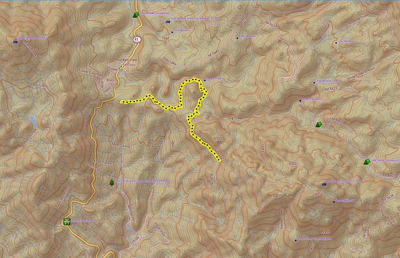
Distance: 5.88 miles, but you can walk much farther or shorter if you wish
Difficulty: Easy
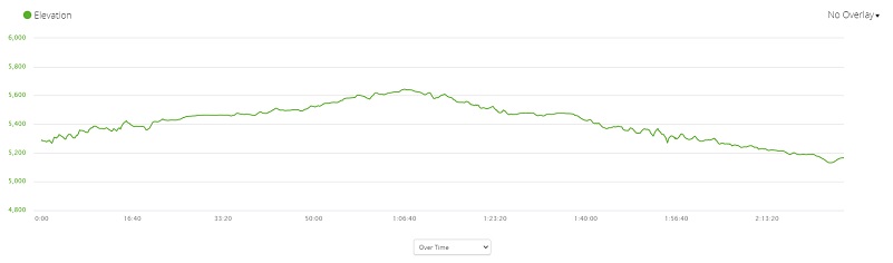
Elevation Range: 5,132′ – 5,644′
Date: December 9, 2020
Maps: Ahwahnee Topographic Quad
Dog Hike? Yes
Fannie and I headed north on Hwy 41, then turned right onto Jackson Road just before the Tenaya Lodge entrance. I parked my car in one of the turnouts, making sure I wasn’t blocking any traffic using the road. Although the gate was across the road, some traffic from the Tenaya Lodge still utilizes this road close to where it meets Hwy 41.
 We walked up the dirt road named Jackson Road and there is history on these roads. Native Americans traveled through this area long before our written history, some probably living in the area for seasons when they would hunt, gather acorns and other materials. There are many mortar holes in the area.
The Mariposa Battalion may have visited Nelder Grove back in 1851. John Nelder lived in Nelder Grove, finishing his cabin there in 1875 and after his death in 1889, the area was owned by the Madera Flume and Trading Company. In 1900, the Madera Sugar Pine Co. (MSPC) took over all of the land that Madera Flume and Trading Company owned. In about 1928, the MSPC gave most of their land, including the Nelder Grove area, to the United States Forest Service in exchange for stumpage in the Signal Peak area.
Some small logging operations are known to have occurred in the 1870’s and small mills began operating in the area around 1874. There were also mining claims and cattle operations in the area early on.
Railroads operated by the MSPC were located on many of these old roads for a short timeframe, removing the logs on this exact road from 1924 to around 1925 by my calculations. I daydreamed what it must have looked like when the timber industry was working in this area back in the day. There is a wonderful book by Hank Johnston called Thunder in the Mountains about the MSPC, full of history, wonderful pictures and maps. And of course, you can visit Yosemite Mountain Sugar Pine Railroad from April to November for an in person experience to walk back through history, visit their museum and even ride on one of the old trains. I searched online for old photos and newspaper articles that might help paint the picture of what life might have looked like on the road that I walked. Most of what I located was copyrighted so I did not use those images. I did locate this interesting photo on Twitter showing a MSPC log flume to train transfer. What inventive people they were to come up with these methods. I searched for this photo elsewhere to try and locate its origins to see if it had copyright protections but couldn’t find anything. If someone finds some additional information on this, I can remove it and only link it to this blog.
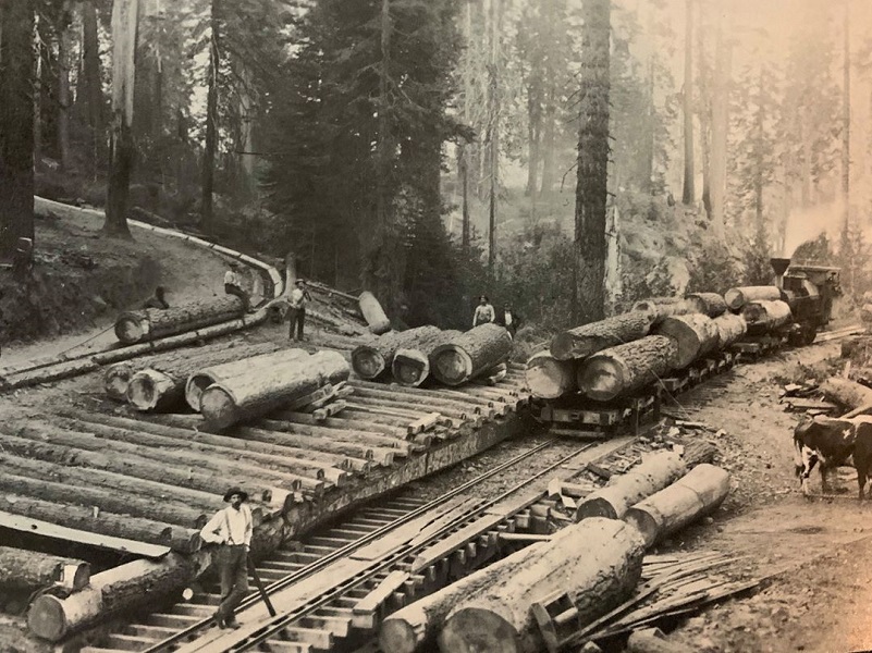
Madera Sugar Pine Lumber Co. Log Flume Transfer (Photo From Twitter https://twitter.com/InterurbanE/status/1277654784196009984/photo/1)
Logging took place in this area long before the MSPC incorporated in 1878 and I bet some of those old roads became part of the roads and rail lines utilized by the company. The earliest Quad that I could find with detail was the Mariposa Quad from 1912 and below is a snippet from the area I hiked and talk about in this blog. Also note that the Fresno Grove of Big Trees is a former name for Nelder Grove. Brenda Negley shares in her book Nelder Grove of Giant Sequoias: A Granddaughter’s Stories, that the first time that the name Nelder Grove appeared on Forest Service maps was a 1911 notation stating “more recently known as Nelder Grove.”
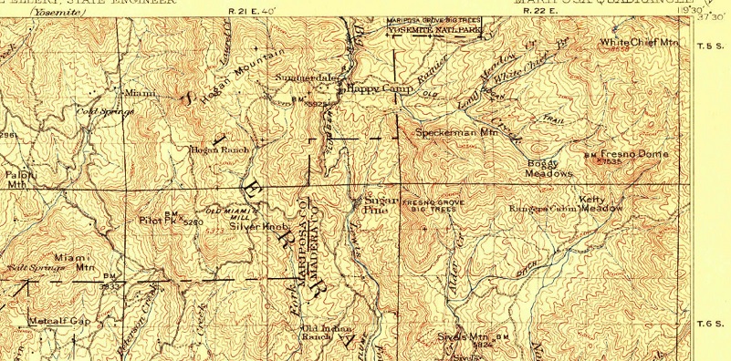
1912 Mariposa Quad 1912 Edition Closeup (Courtesy USGS)
There are a couple of wonderful maps by Donald C. DeVere in Thunder in the Mountains that show the rail lines that the MSPC utilized to remove the logs, along with the dates of their use. As I looked at those maps, comparing today’s topographic maps along with the track of my hike, I can see that most of the old roads were the same as the roads today, but some have disappeared. I could see the exact road that I walked up. 5S18 was a railroad line for a short stretch and a logging road in about 1925. Back then, the road branched twice after it left Big Sandy. 5S18 follows that east branch where the short railroad spur was located then continues up, crossing Nelder Creek then working its way along the west side of Speckerman Mountain. In 1925, there was another fork before the road reached Nelder Creek that dead-ended.
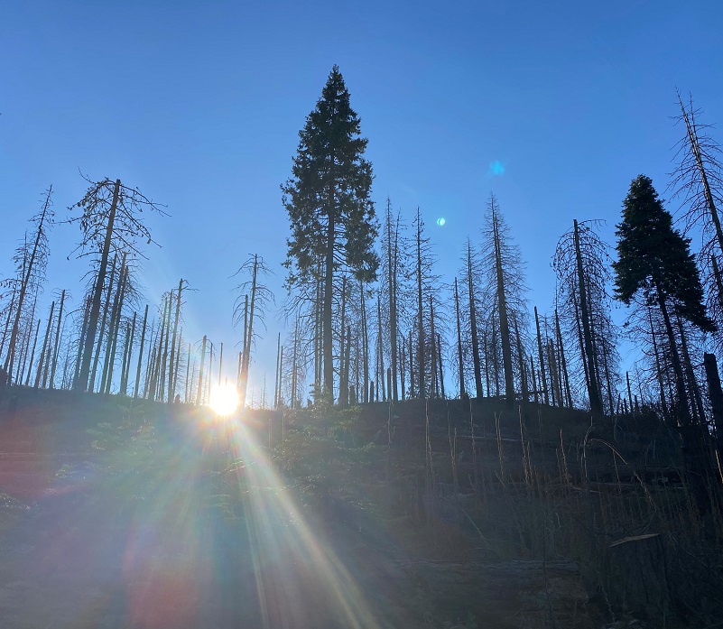
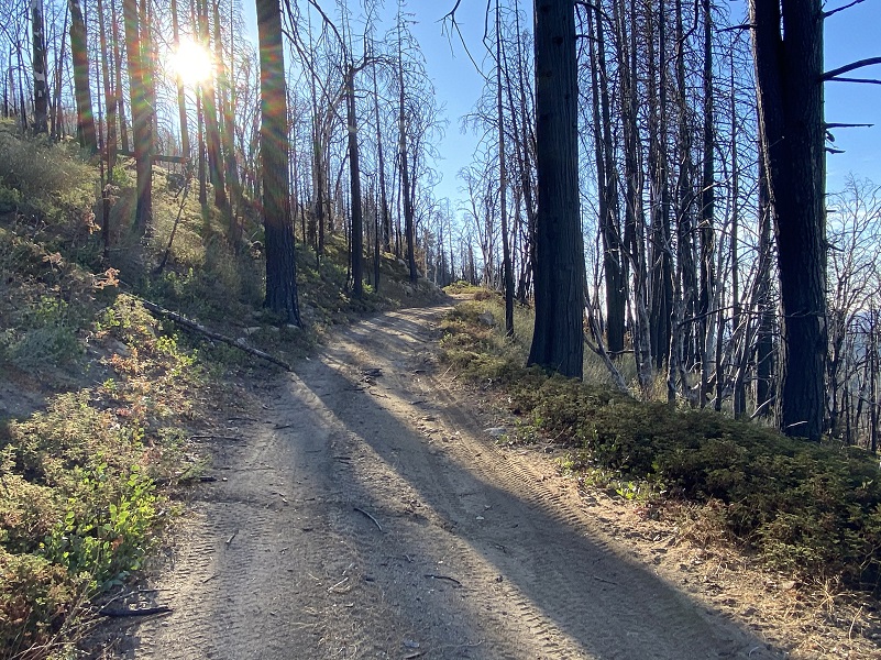
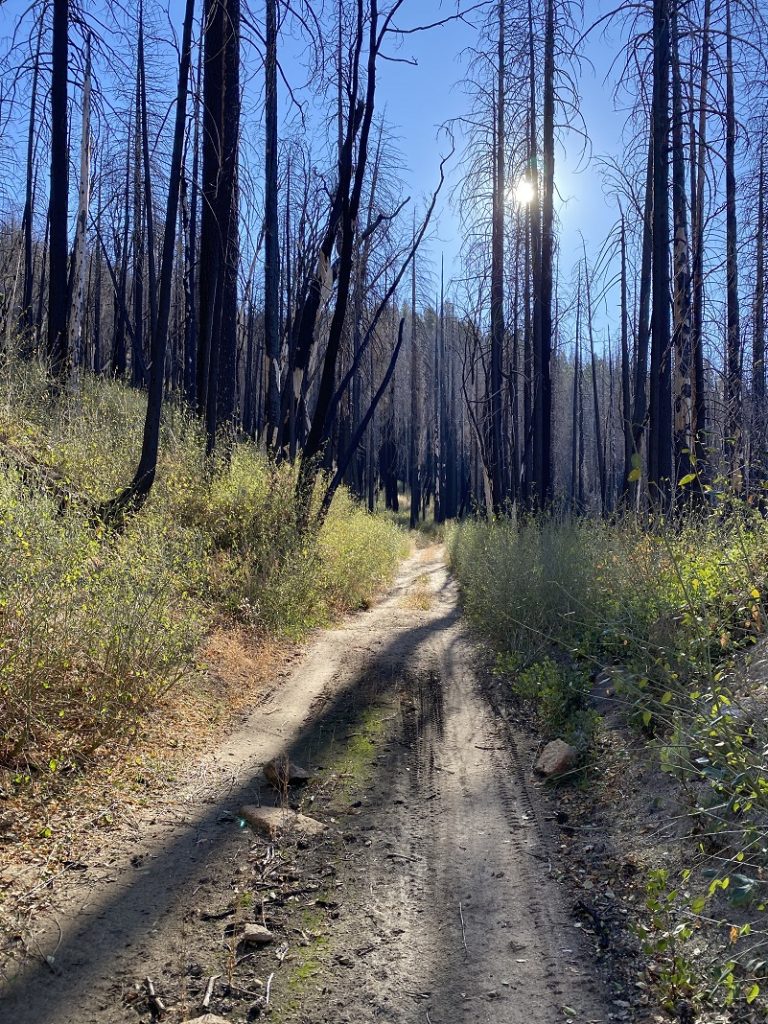
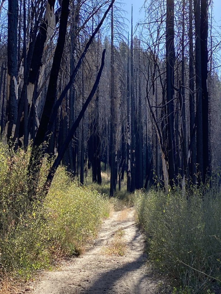
I was soon walking through the burned area from 2017’s Railroad Fire that devastated 12,047 acres.
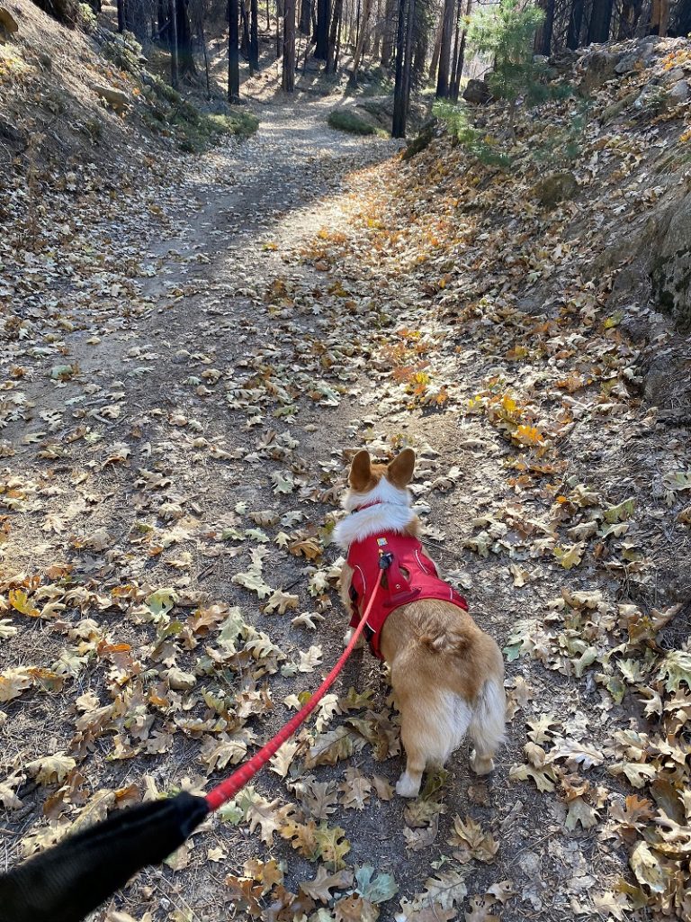
Some people have asked me how Fannie with her short little legs is able to keep pace with me walking. Well, here is how she does it.
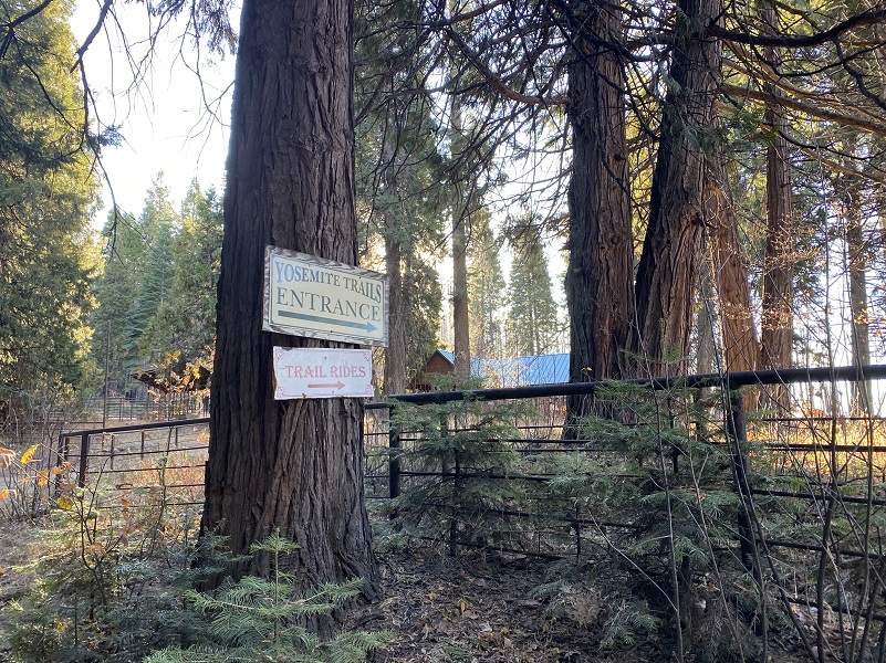
We walked by the Yosemite Trails Stables, closed for the season.
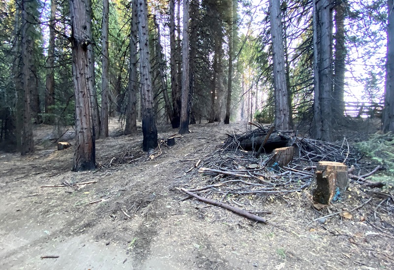
There is a trail just after the stables to the right that we take sometimes but I didn’t on this hike. Some logging and tree removal had taken place during and after the fire. I was sure how the trail would be and didn’t want to risk having to climb over a bunch of down slash with Fannie.
Instead, we stayed on the road.
We passed by some slash piles, prepped and ready to burn.

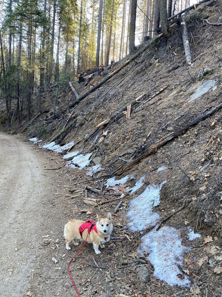
And Fannie found a little bit of snow along the road. Looking down at Big Creek, I could see a little more on the protected rocks along the creek.
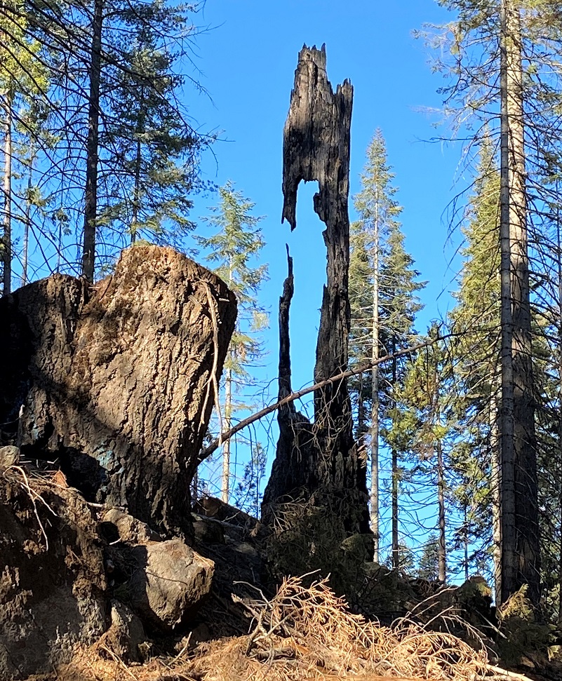
I stopped and looked at this snag for a while, wondering how it was still standing.
I thought it would be fun to put Fannie in the cattle chute and take a picture of her. I don’t think she thought it was really that fun.

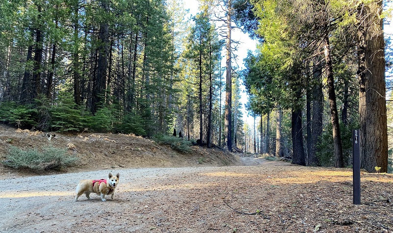
We continued up the road.
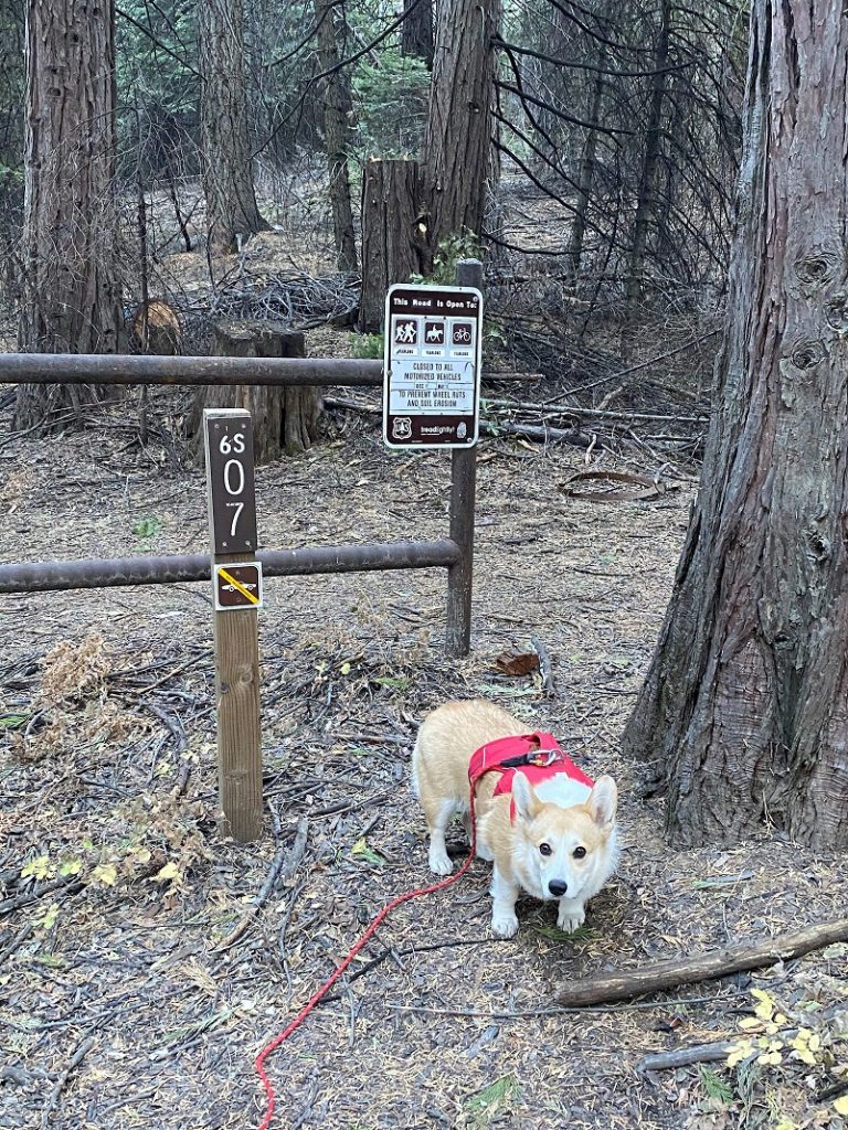
After Fannie got a drink of water, we crossed the creek then took the next right up 5S18.
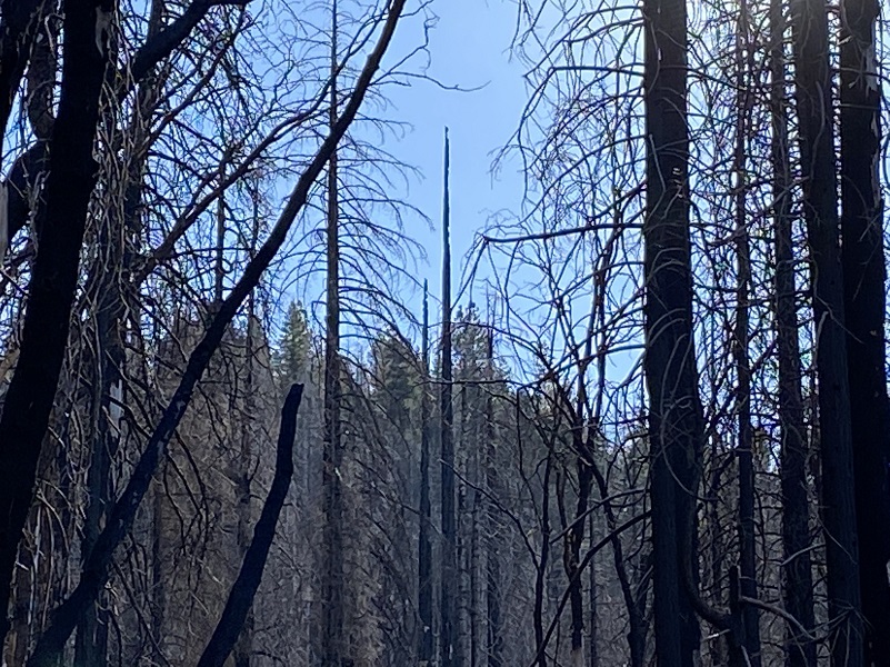
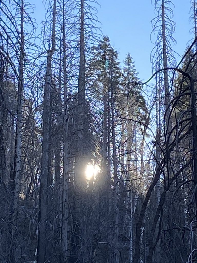
We were soon in the burn again. There were lots and lots of standing burned trees and I would not want to be in this area when the wind was blowing because they will surely be coming down.
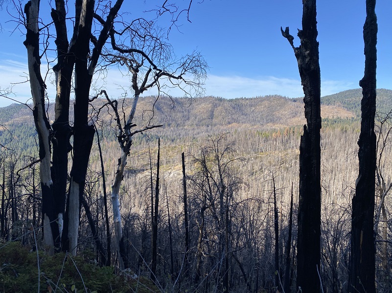
Looking toward Deadwood Peak. Don’t know if it was a burn day but someone was burning something.
Looking toward the west and I think that little peak on the left is probably Pilot Peak but it could be Miami Mountain.
Uh oh, some down trees were across the road.

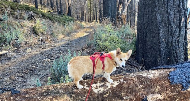
I lifted and carried Fannie over the down trees, placing her on one while I crawled over. Then I thought, I should take a picture of Fannie on the log. Dog on a log! I think she is giving me the stink eye.

So we continued on.
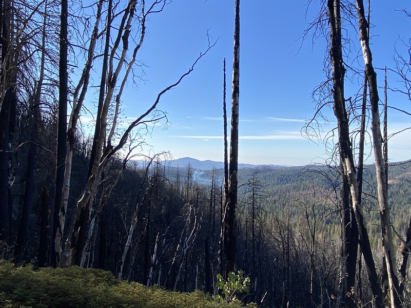
I had studied the topog map and looked at my previous GPS track from the week before when I visited Nelder Ridge. With the Railroad Fire’s burned trees, I was getting close to where I could spot the Hawksworth Tree from this direction with all of that tree cover gone. So I had a spot where the road aligned where I thought it was possible. Just ahead of me where the road is pointing me is what I think is Nelder Ridge.
As I walked closer, I zoomed in closer to see if I could pick out the Hawksworth Tree.
I was hoping to pick out the snag that would be to the left of the tree to be sure.

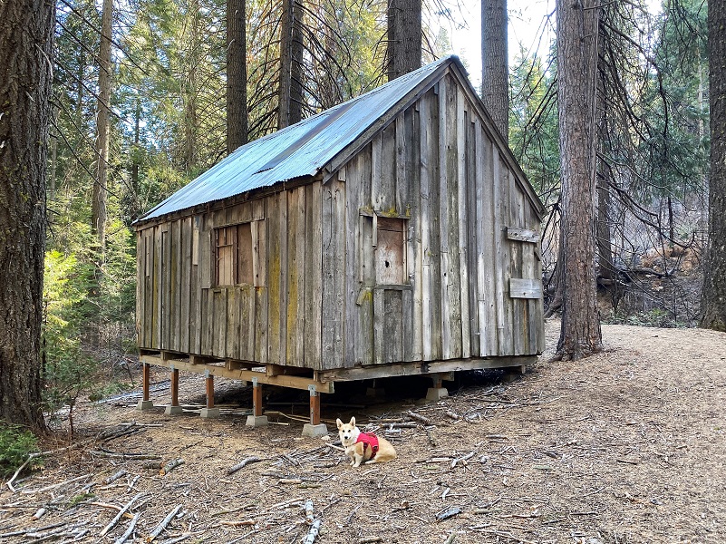
I really couldn’t say for sure one of those trees were the Hawksworth Tree. I should have marked it on the GPS when I was up there but I didn’t. Fannie and I turned around because the road would be leading me away from good views of Nelder Ridge. We made a stop for a drink of water and a picture of Fannie by the ditch-tender’s cabin.
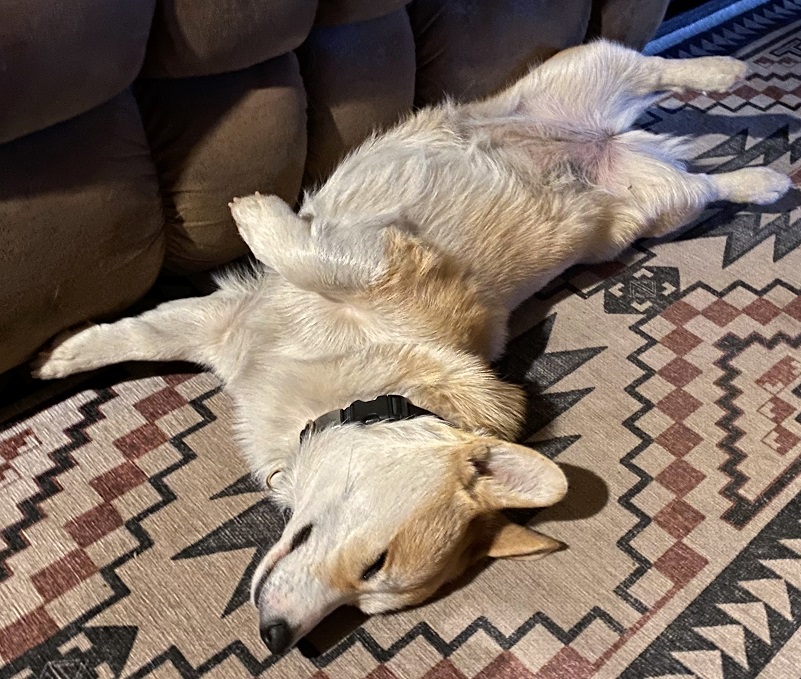
We had a good little birthday hike to celebrate Fannie’s 1 year birthday. Needless to say, she was out like a light when we got home.
We all had a wonderful day and some good exercise. One of the pluses for this hike, whether it is in the snow or on the dirt, is that it is close by. In the fall, there are oaks that turn beautiful colors and in the spring, the dogwoods put on their show. You can chose to continue up to where Chinese Ditch and Big Creek meet and there is a small waterfall. You can also walk farther up Big Sandy Road, even up to the Nelder Grove, if you wish. Lots of possibilities on this hike!
Dog Hike? Yes
Here are the Sierra National Forest rules for pets from their website:
Domestic pets are allowed in wilderness areas. You are responsible for their actions as well as their welfare. Pets should either be leashed or under direct voice control. When camping in areas with other visitors, pets should be kept on a leash. Wilderness visitor’s who plan to travel into an adjacent National Park should be aware that National Parks do not permit pets.
When in campgrounds, public beaches or on trails local ordinances require pets to be leashed. As a consideration to others, please refrain from taking pets to beach areas to prevent contamination. Domestic pets are allowed in wilderness areas. You are responsible for their actions as well as their welfare. Pets should either be leashed or under direct voice control. When camping in areas with other visitors, pets should be kept on a leash. Wilderness visitor’s who plan to travel into an adjacent National Park should be aware that National Parks do not permit pets.
- Clean up after your pet. It will only take a few minutes and there is no single action that will more favorably impress your fellow campers.
Doarama:
What is a Doarama? It is a video playback of the GPS track overlaid on a 3 dimensional interactive map. If you “grab” the map, you can tilt it or spin it and look at it from different viewing angles. With the rabbit and turtle buttons, you can also speed it up, slow it down or pause it.
Map and Profile:
Sources:
Johnston, Hank, Thunder in the Mountains The Life and Times of the Madera Sugar Pine Company, (Fish Camp, Stauffer Publishing, Fish Camp, 1995)
Yosemite Mountain Sugar Pine Railroad
Negley, Brenda L., Nelder Grove of Giant Sequoia: A Grandaughter’s Stories, (Baltimore, Otter Bay Books, 2016)
Historical Preservation in Fish Camp Area
Putnam, Jim, Favorite Hikes of the Sierra Hiking Seniors, July 2010
Prior Blogs in the Area:
Snowshoeing from Tenaya Lodge to Chinese Ditch February 12, 2019
Snowshoeing From Fish Camp with Sally and Raven January 31, 2017
Snowshoe Adventure with Sally and Raven at Fish Camp November 17, 2015


