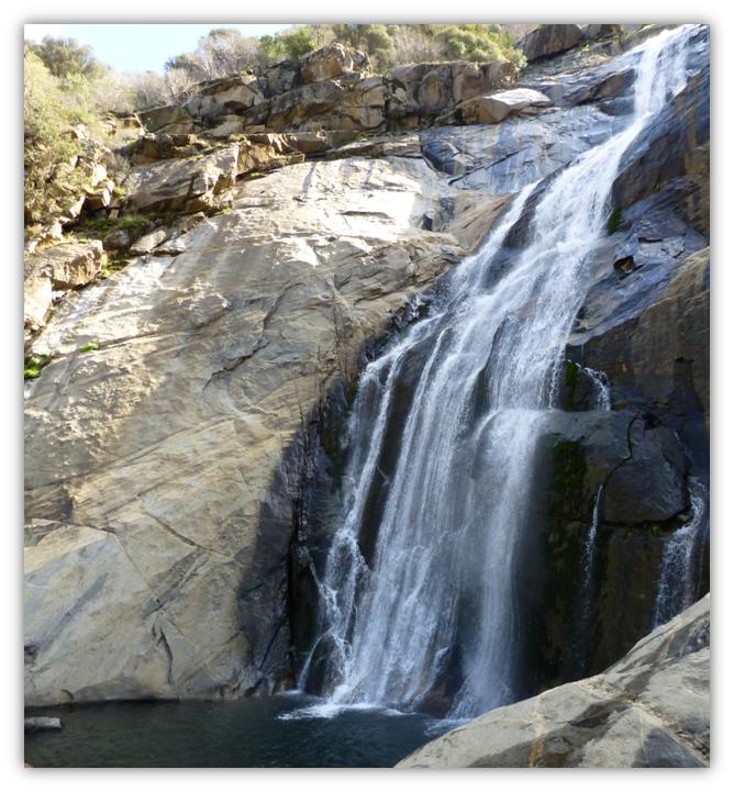
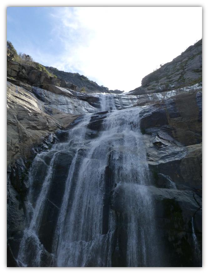
Stevenson Falls cascades down 300 feet above the road and another 200 feet below the bridge. That is a lot of water! The first wildflowers of the spring season were an added bonus.
Where: Sierra National Forest Highlights: Wonderful views of Stevenson Falls and we were rewarded by the first wildflowers of the season!
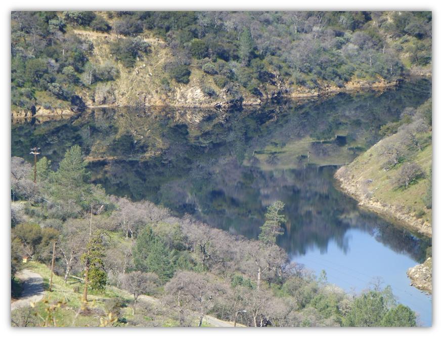
Redinger Lake is a component of Southern California Edison’s Big Creek Hydroelectric Project, which is a system of 25 dams and 9 power plants. The dam was completed in 1951 and the reservoir that it creates, Redinger Lake, has a normal water surface of 456 acres and a maximum capacity of 35,000 acre feet.
We walked on the one lane paved road past the old Chawanakee School, pausing on the bridge that crosses Mill Creek to see more gorgeous reflections in the pools below.
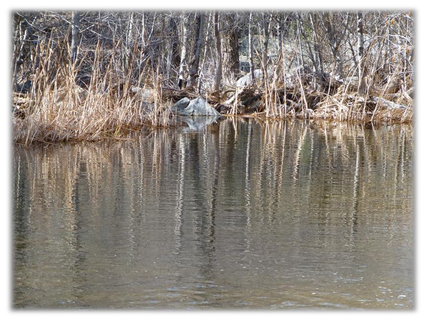
We arrived at a locked gate across the road and took the well traveled trail around it to get back on the road, continuing to gain elevation where we looked back to the reflections in Redinger Lake.
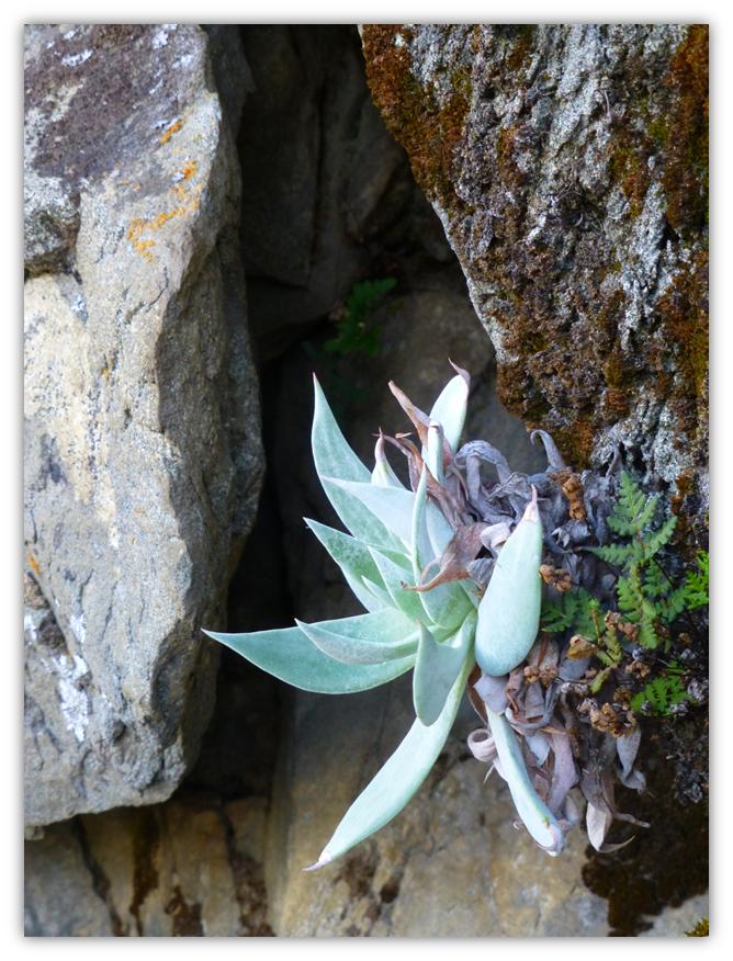
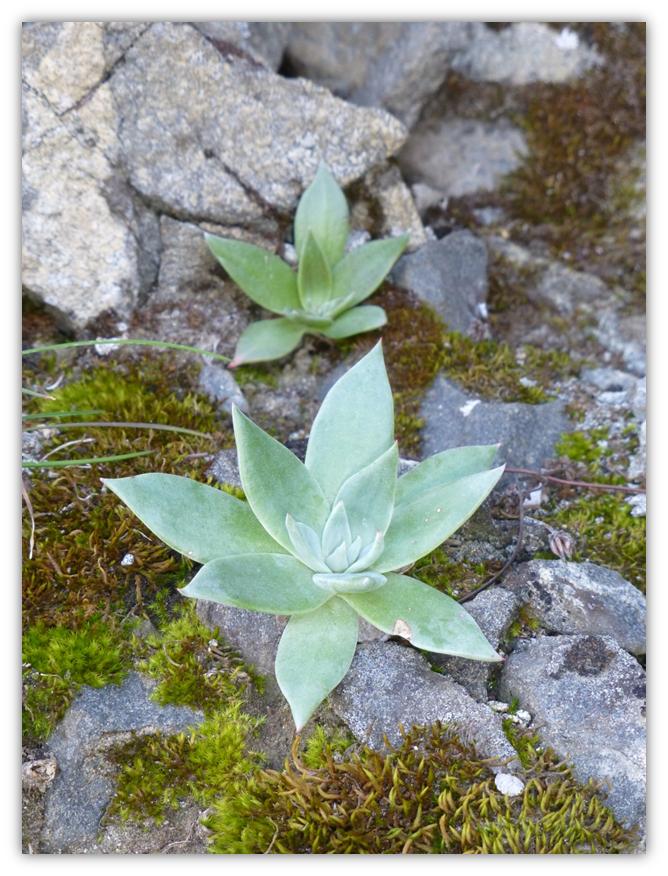
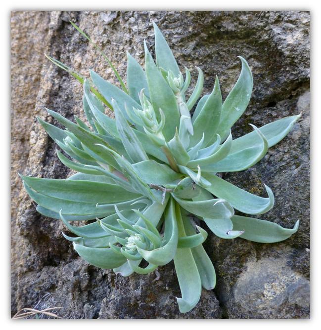
I was on the lookout for a peek of my first wildflower as we walked the road, but came across these succulents first. One of them was getting ready to have babies (and blooms).
As we came around a corner, we had our first glimpse of Stevenson Falls. Shaver Lake, about 5 miles upstream, is the water source. The Falls are about 300 feet above the road and another 200 feet below the road. Sometimes the flow is so strong that that it flows on the bridge, resulting in this bridge being impassable, but not today.
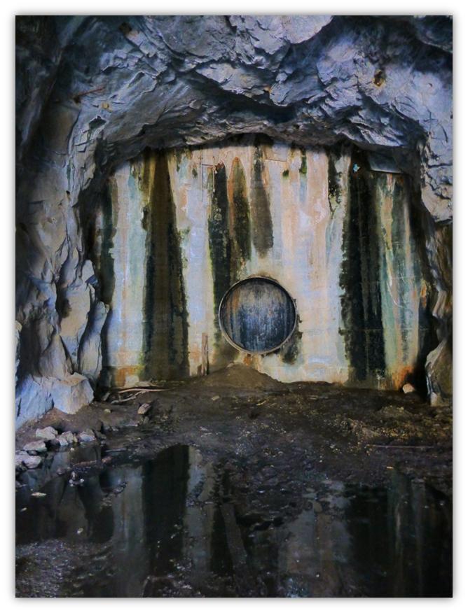
Next to the Falls, and along the road are huge tunnels called Adits, which were designed to assist in the construction of the major pipe line.
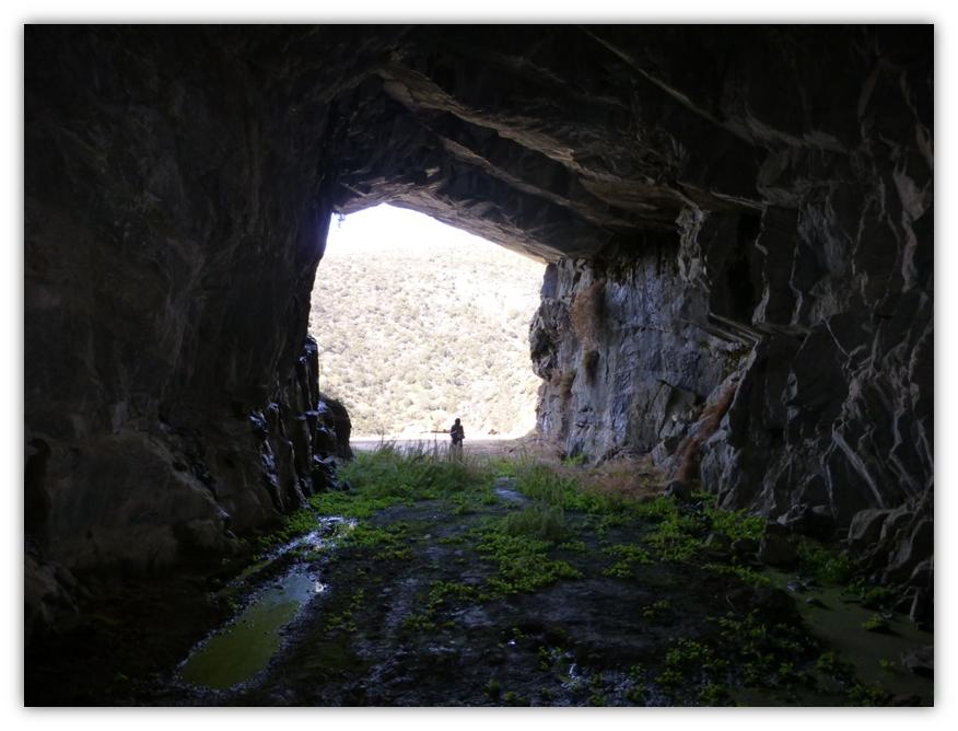
I took this shot looking through the tunnel to the road.
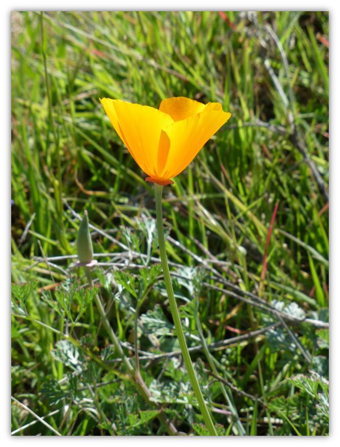
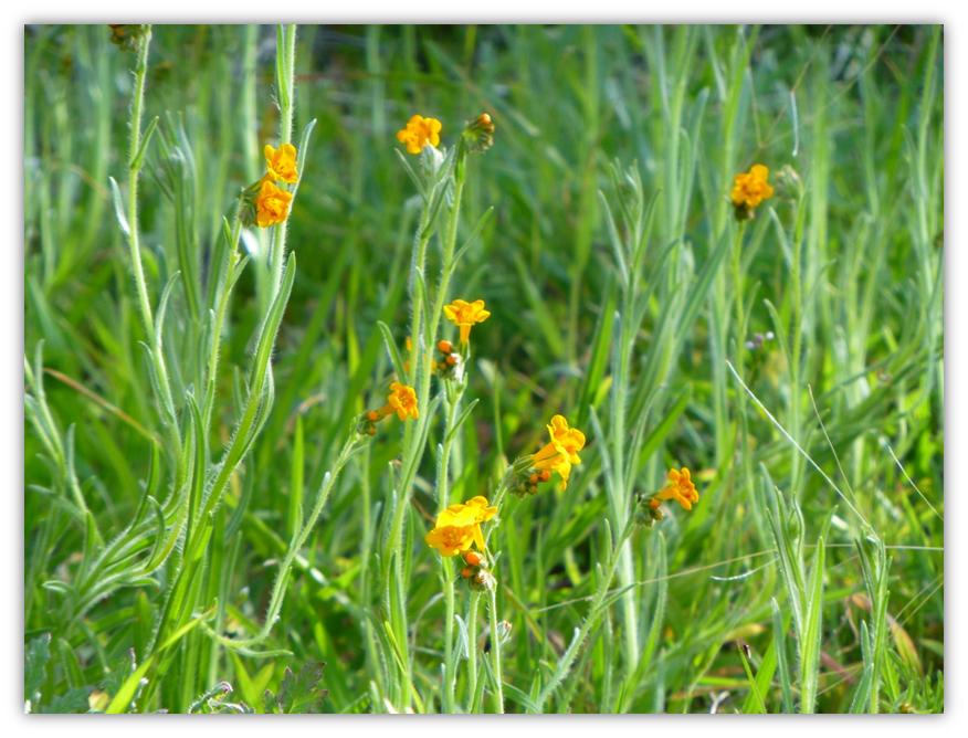
After lunch at Stevenson Falls, we headed back the same way we had hiked in. Along the road, we started seeing some wildflowers. The contrast between the orange Fiddlenecks and green grass was beautiful.
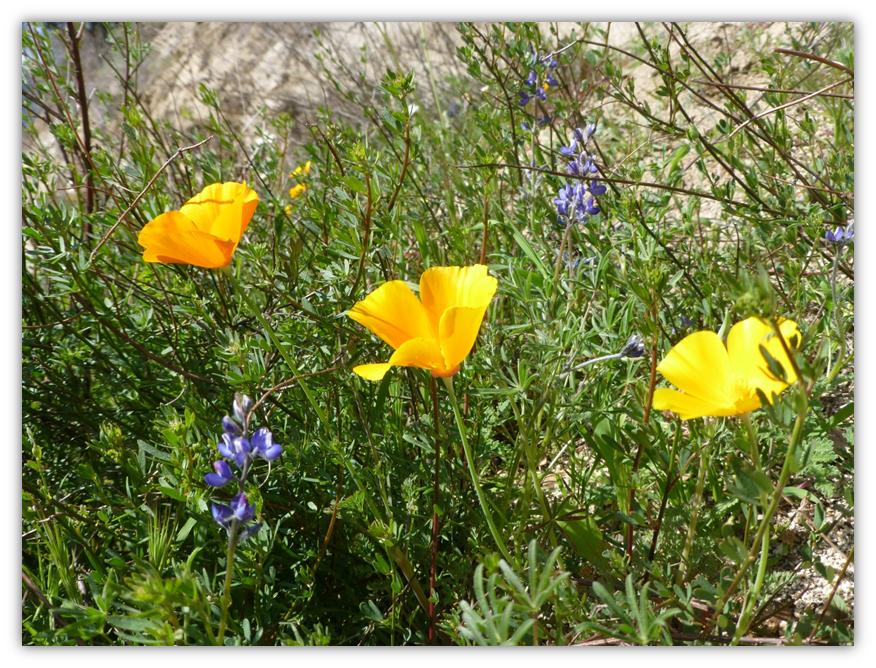
California Poppies with some purple Lupine thrown in for an additional pop of color.
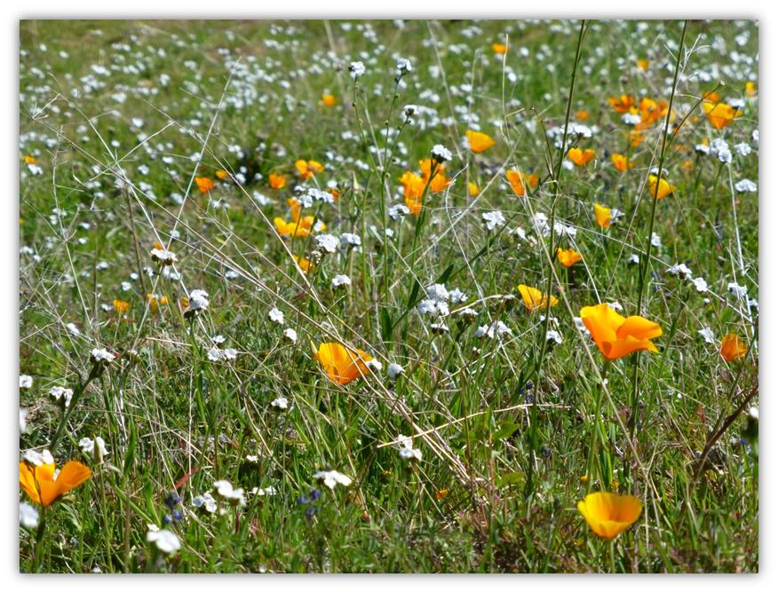
A larger field of California Poppies with white Popcorn flowers.
Distance: 12.5 Miles
Difficulty: Moderate
Elevation Range: 1,404 – 2,353′
Date: February 27, 2013
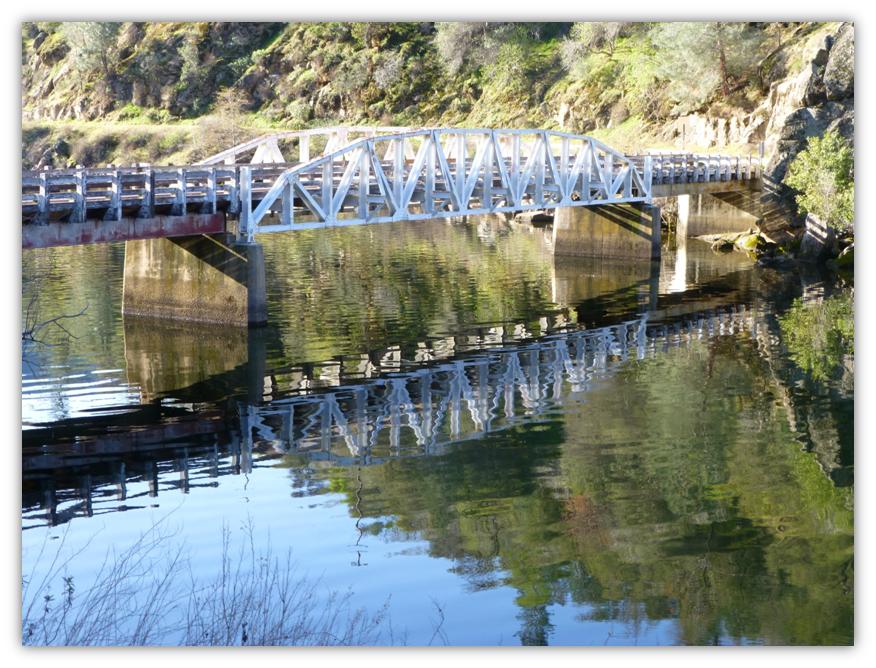
From North Fork, we drove down Road 225 and followed the road as it travelled above Redinger Lake. We parked on the Madera side of the bridge that crosses Redinger Lake. We were immediately rewarded by great reflections in the glass like water of Redinger Lake.

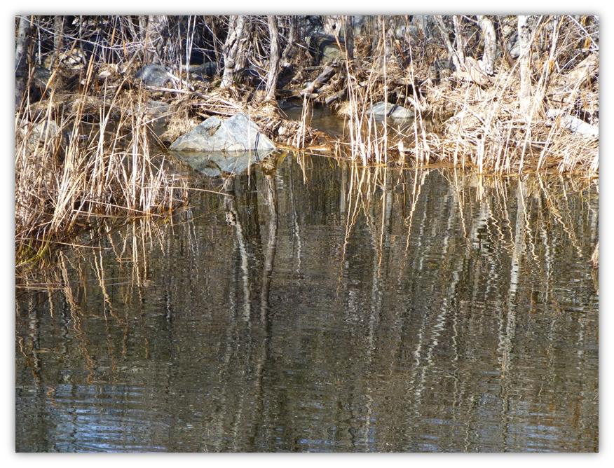
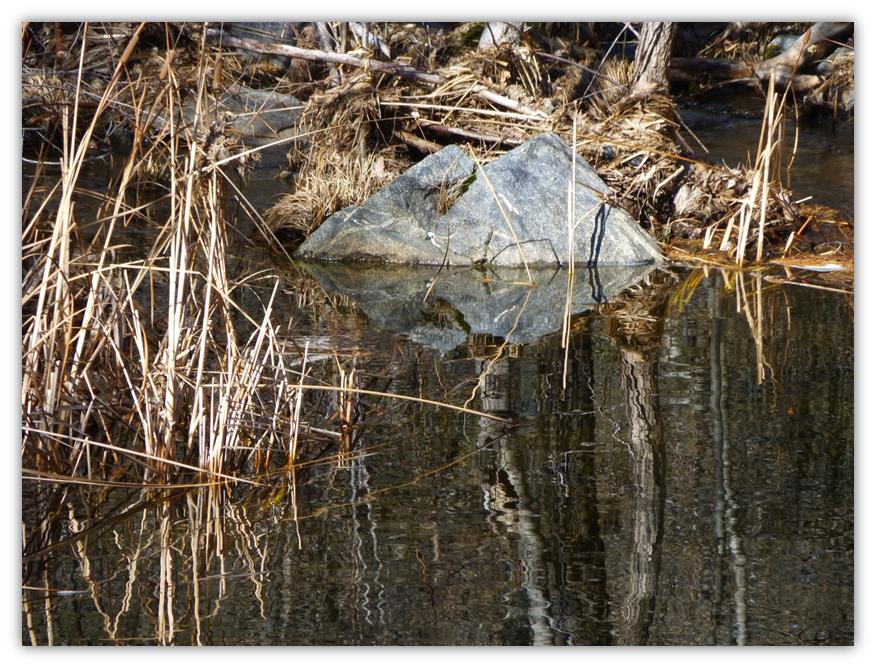
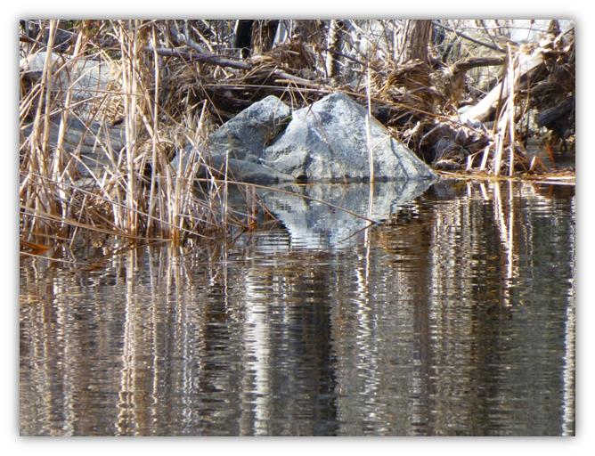
 The afternoon sun made different reflections in Mill Creek.