Wildflowers are definitely the star along this trail, but we also had a lot of critters to keep us company on our hike along the San Joaquin River.
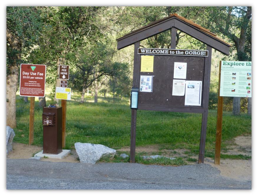
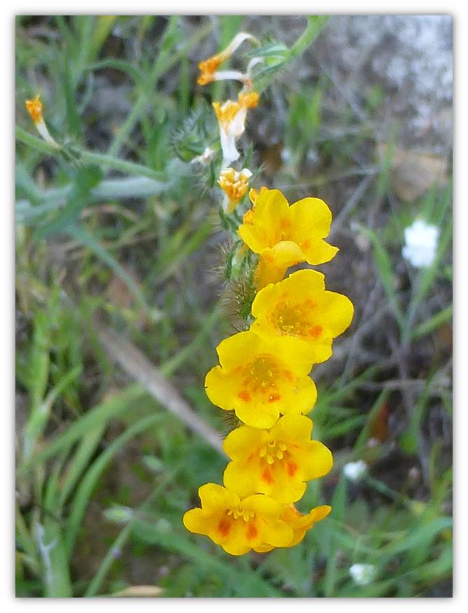
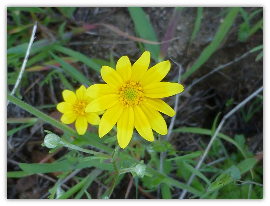
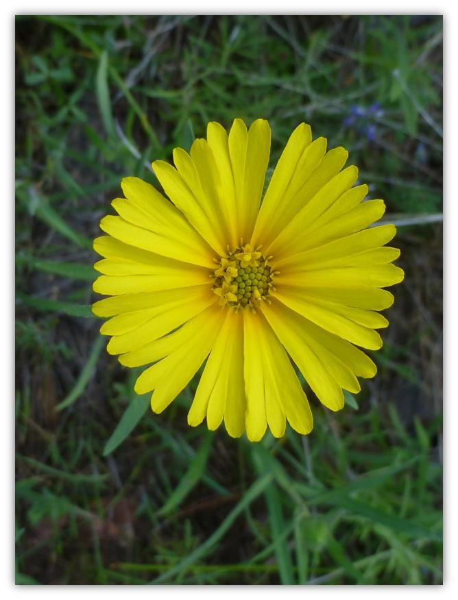
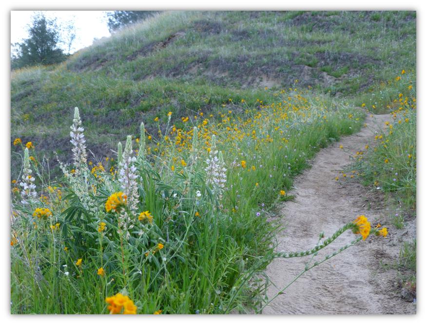
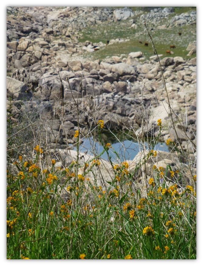
Where: Bureau of Land Management, San Joaquin River Gorge Management Area Highlights: We heard mourning doves cooing, coyotes yipping, turkeys gobbling, cows mooing and geese honking on this hike. Lots of beautiful wildflowers were along the trail, but boy was it hot and humid! And we could see how this drought had affected the San Joaquin River. The water was the lowest I had ever seen it. Hiking the San Joaquin River Gorge when the spring wildflowers are blooming is an annual adventure. Last year’s hike can be accessed through this link. We departed from North Fork, driving to Smalley Road where we turned right at the BLM San Joaquin River Gorge sign. We headed down Smalley Road to the Ya-Gub-Weh-Tuh trailhead and campground, used the self-service envelopes to pay for our $5 day use fee, and then headed up the trail. I could see all kinds of snake tracks on the trail and as warm as it was, I knew the chances of meeting a snake today were good. The trail was also lined with bright yellow fiddleneck flowers, which took my thoughts off of snakes for a while.
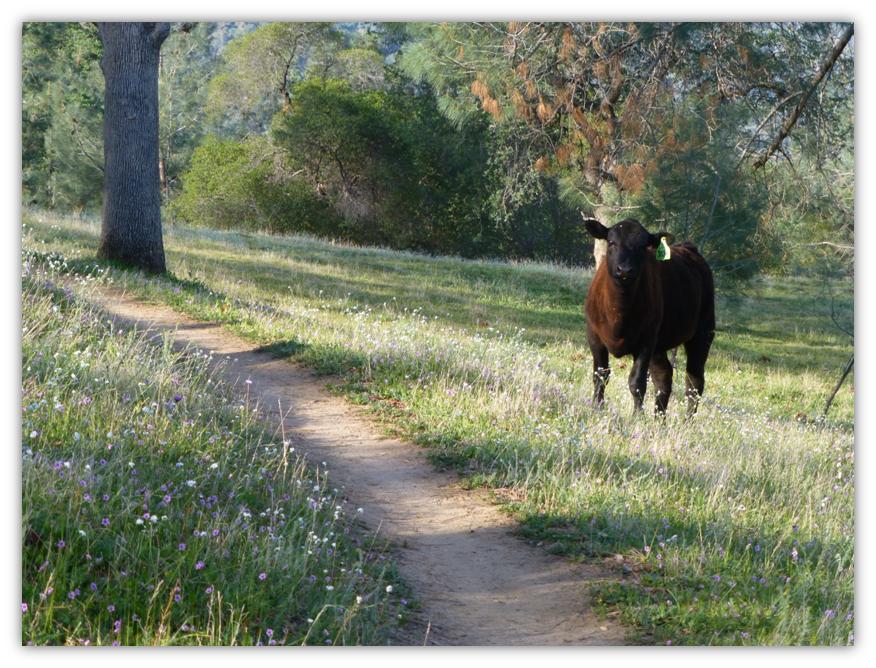
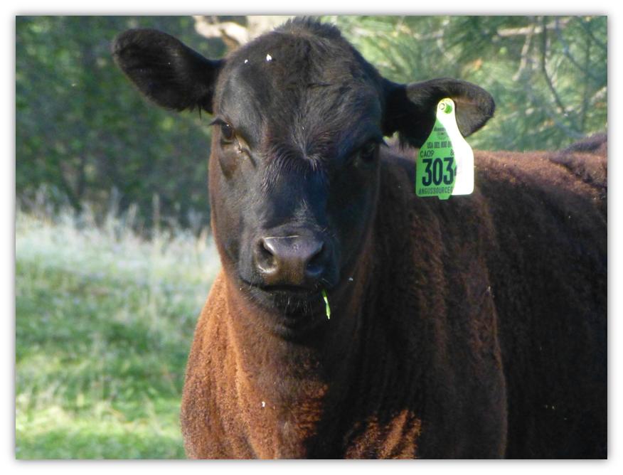
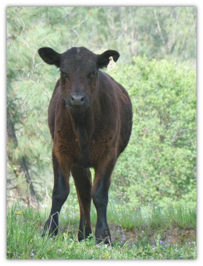
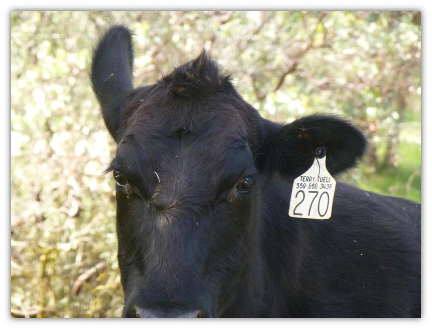
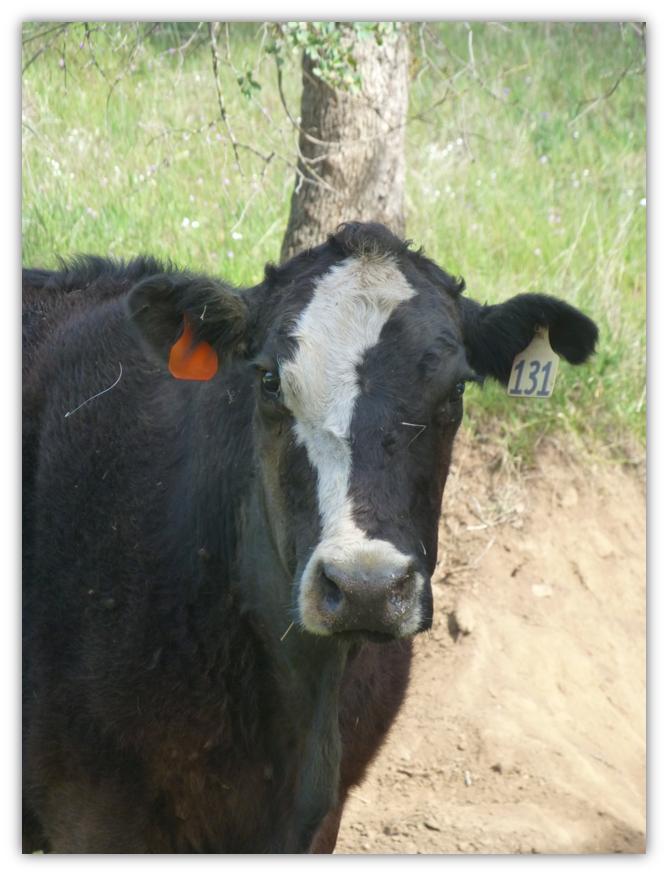
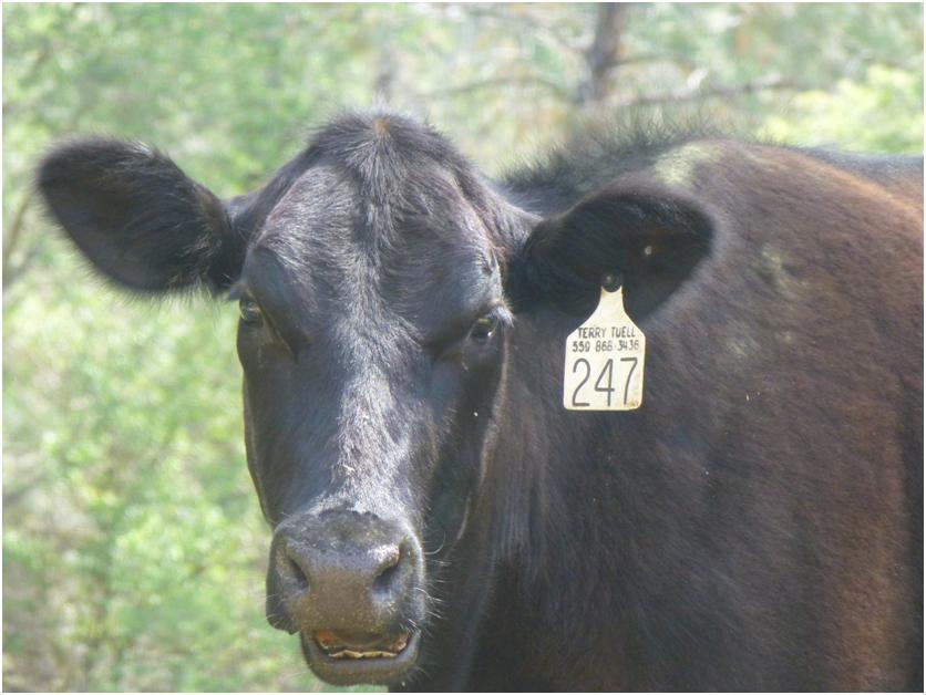
Friendly cows greeted us:
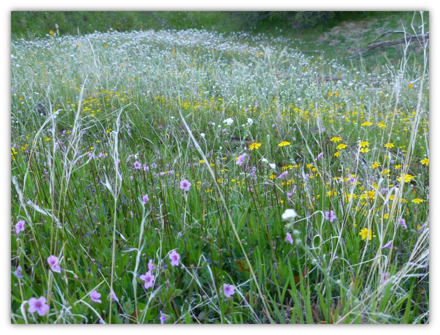
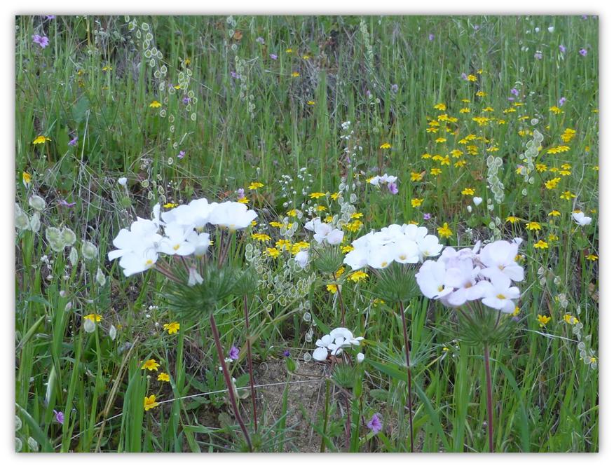
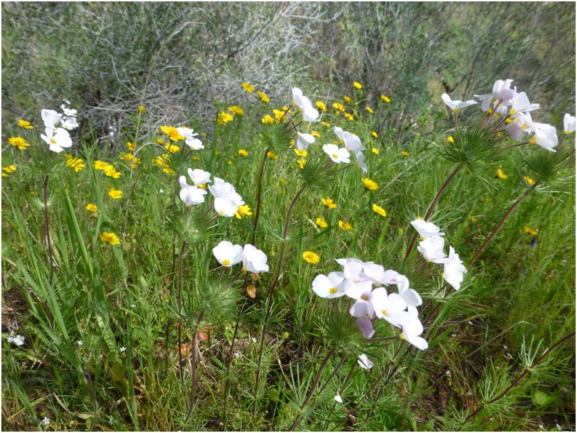
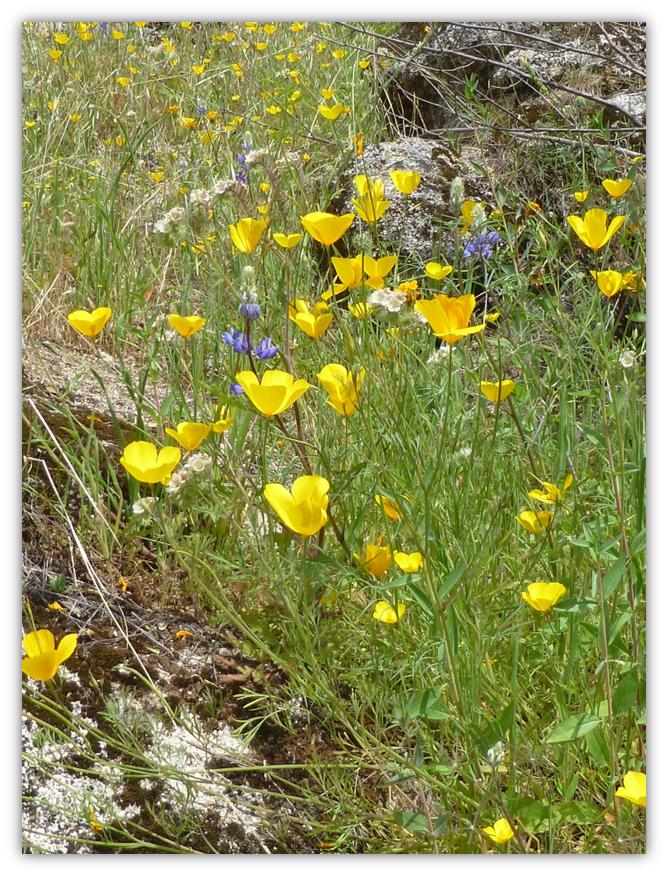
The hillside was literally carpeted with different colored flowers.
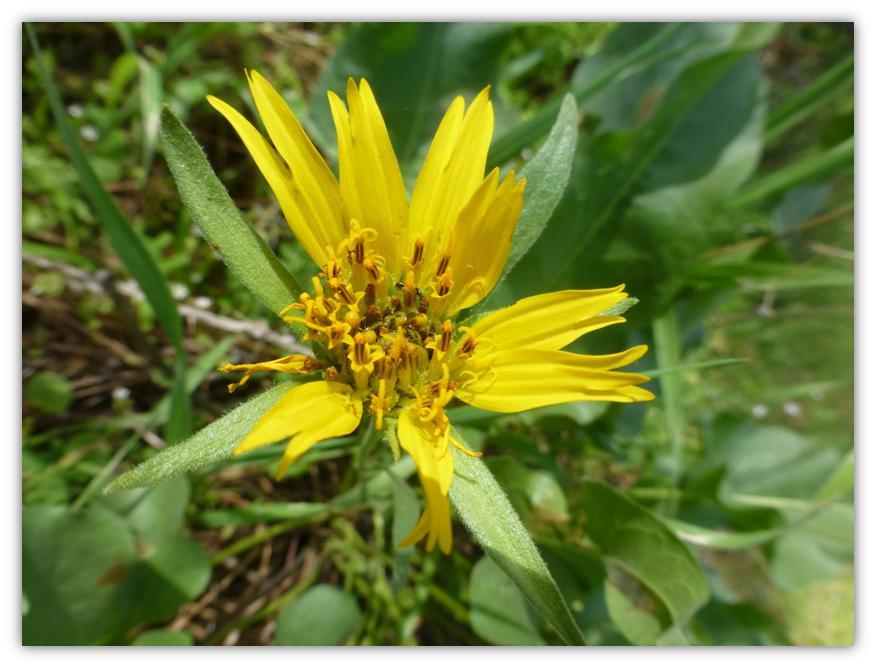
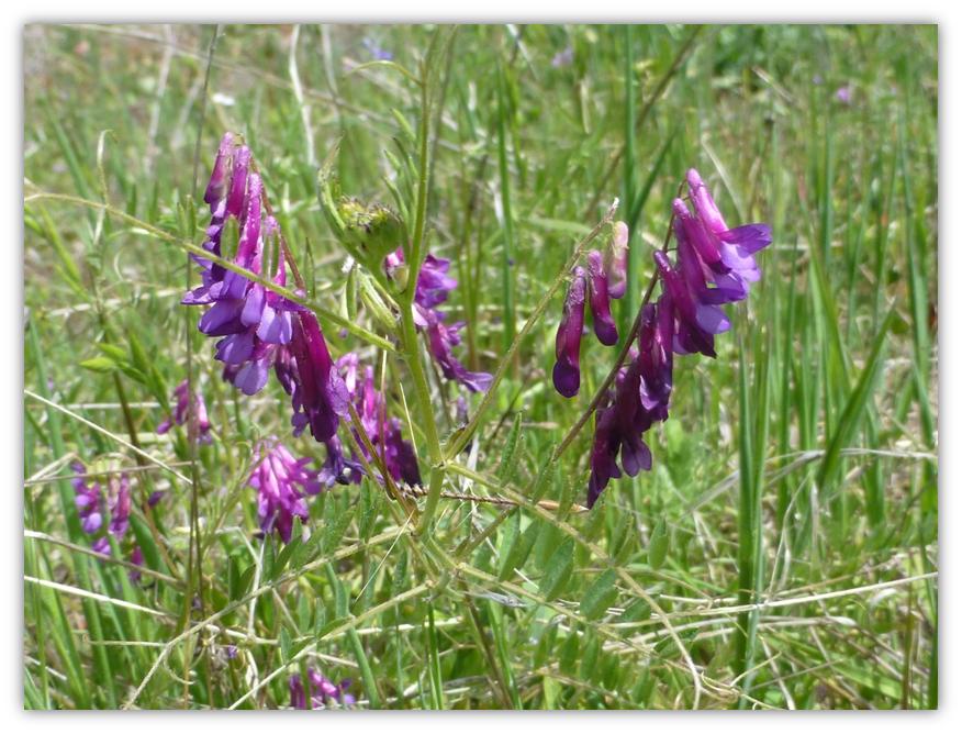
When we took a closer look, we could spot mustang clover.
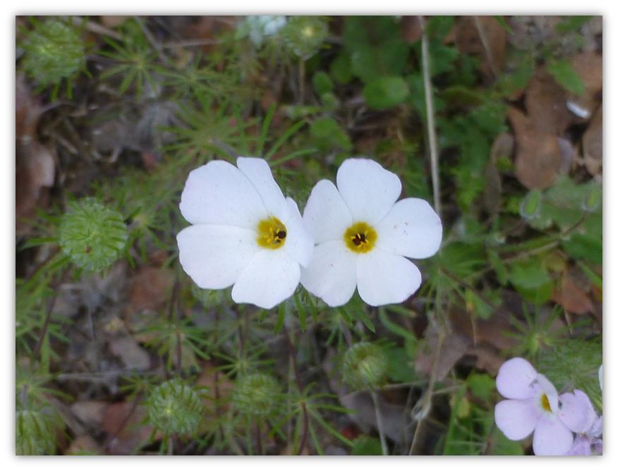
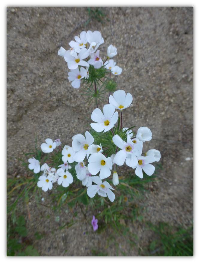
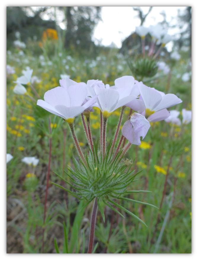
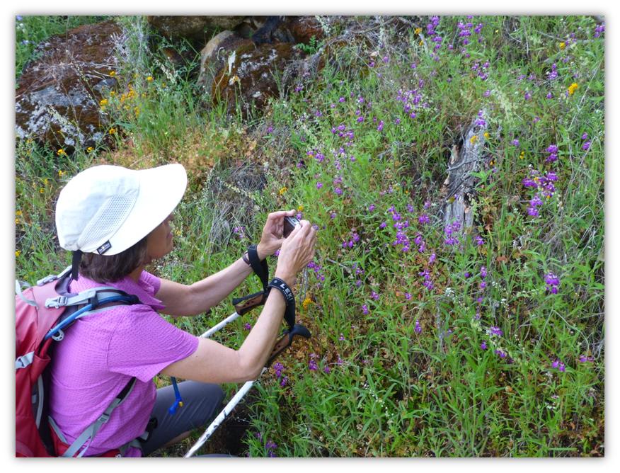
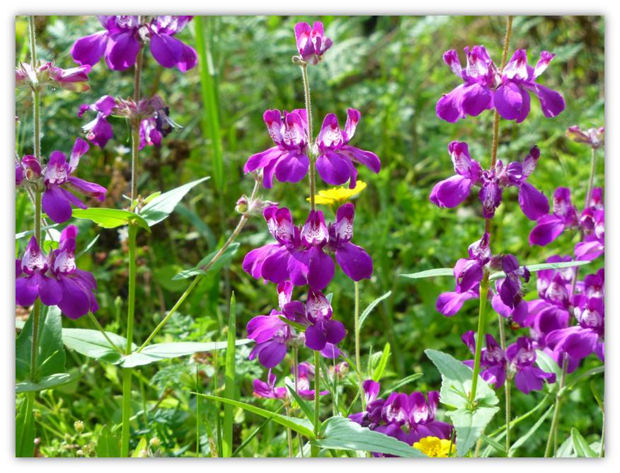
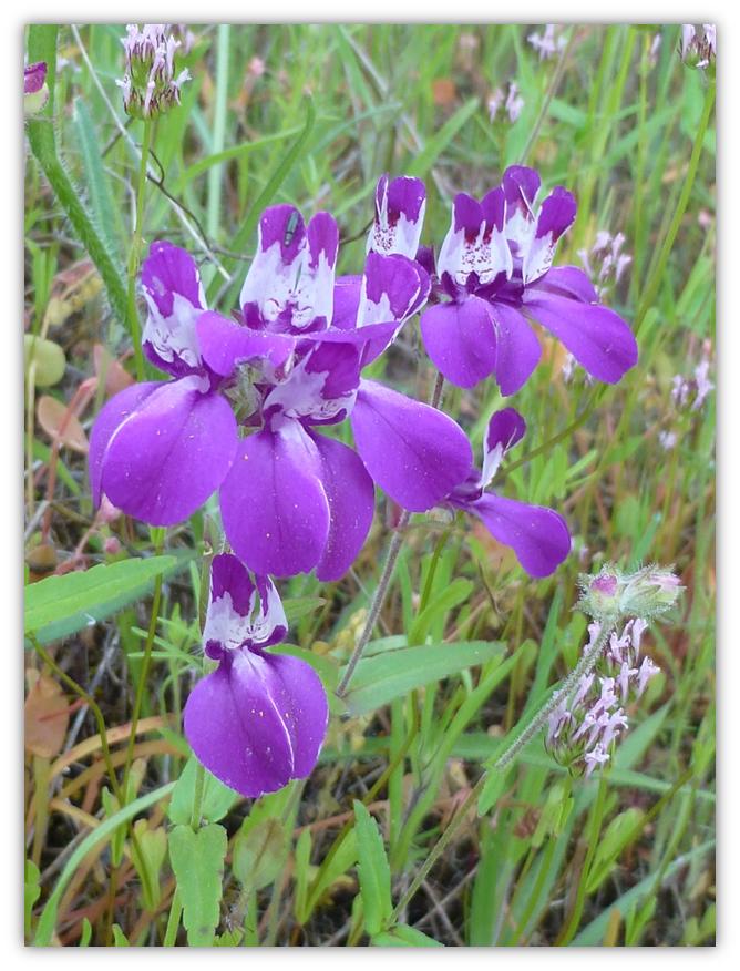
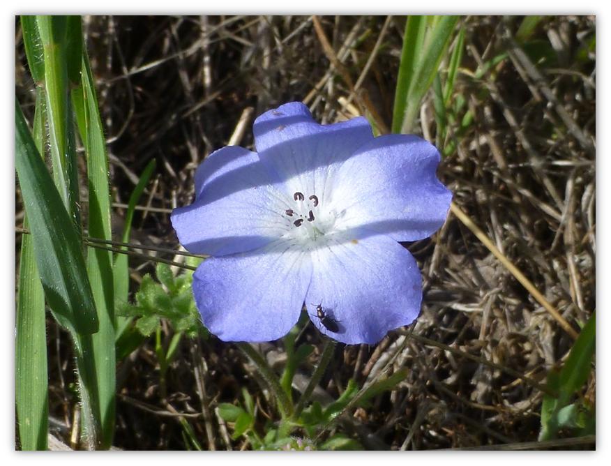
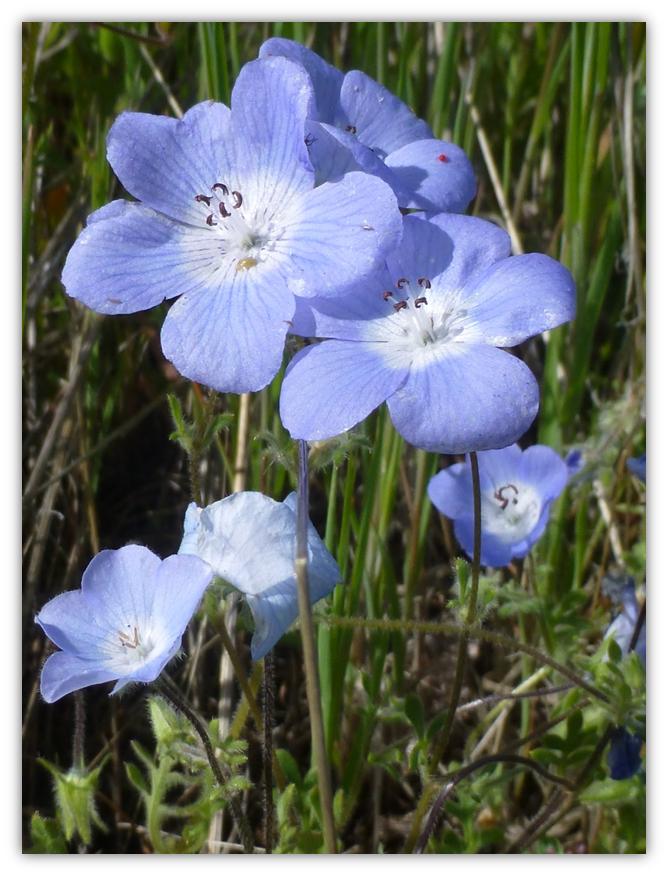
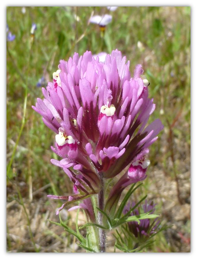
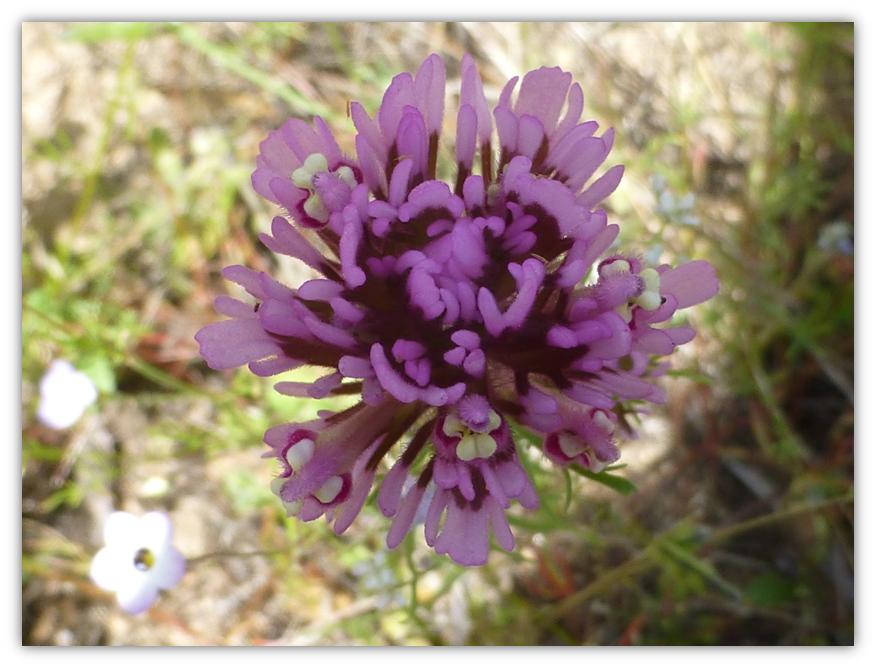
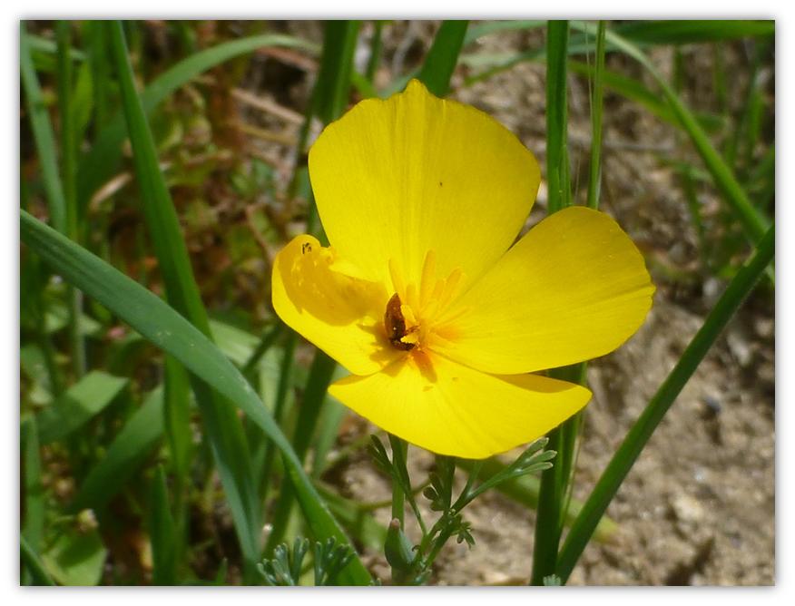
Gail captured macros of Chinese Houses along the trail.
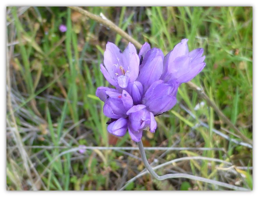
And we saw purple flowers.
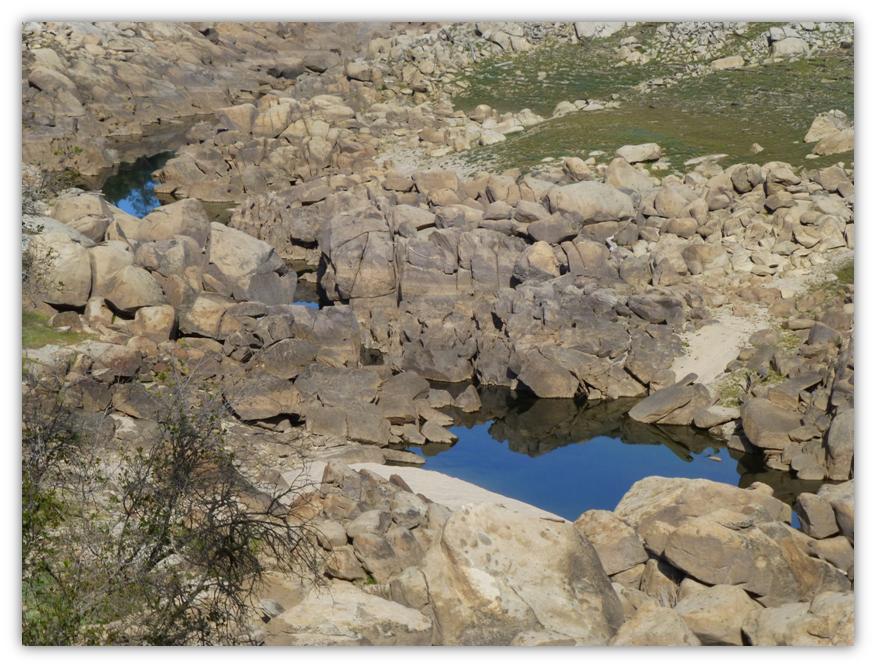
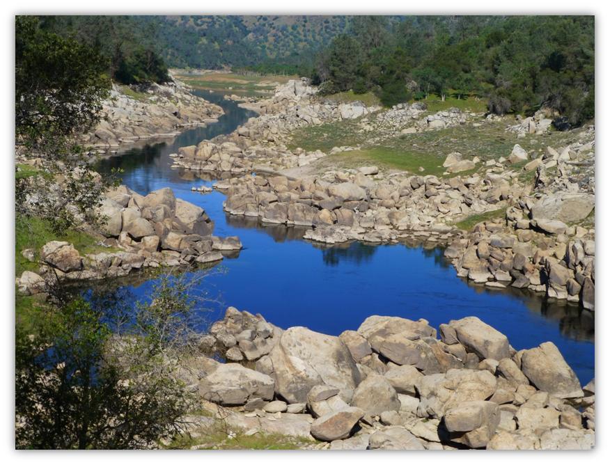
We reached a spot on the trail where we had a clear view down to the San Joaquin River and boy, we sure were shocked to see how low it was. You can see where the high water mark is toward the top of the rocks and where the green begins. We have never seen it this low but we would get much closer later on for better perspective. As a contrast, the first picture is this year and the second year is from the same spot and taken last year.
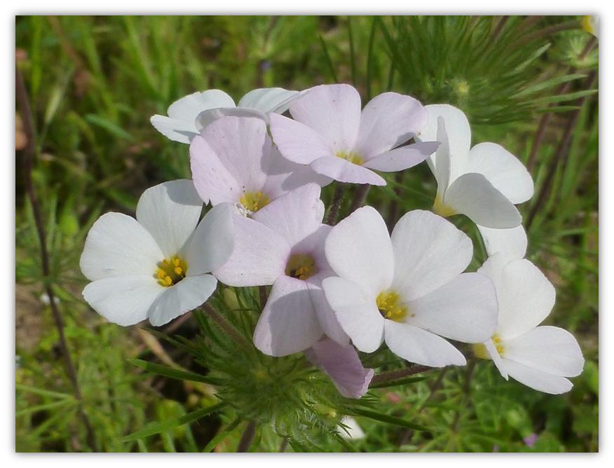
Fiesta Flower
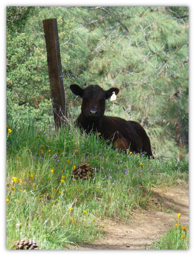
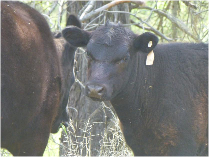
We met another small herd of cows with their calves. This one laid by this fence post for quite a while as we approached and its buddies watched. Must have been a good spot!
And more mustang clover.
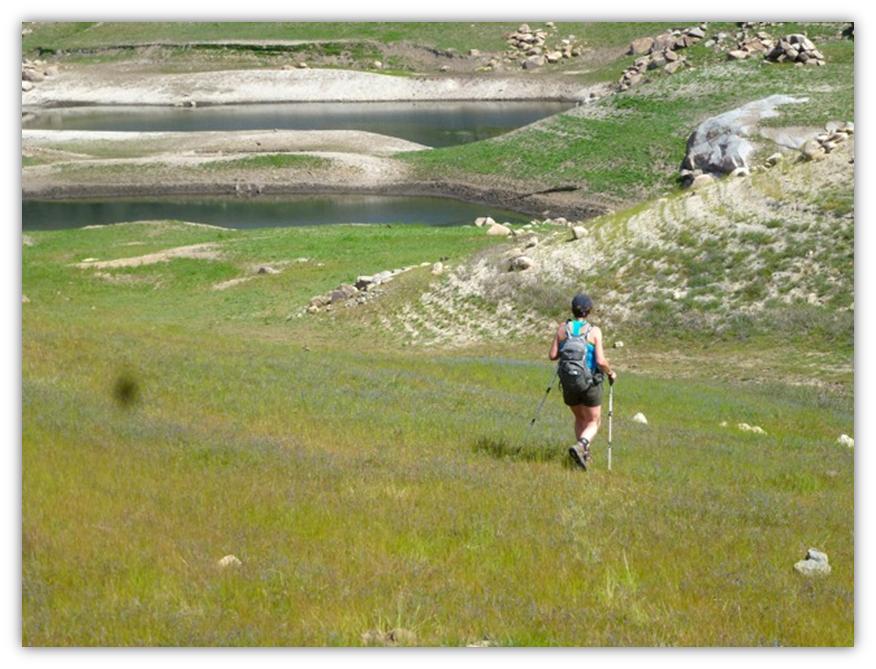
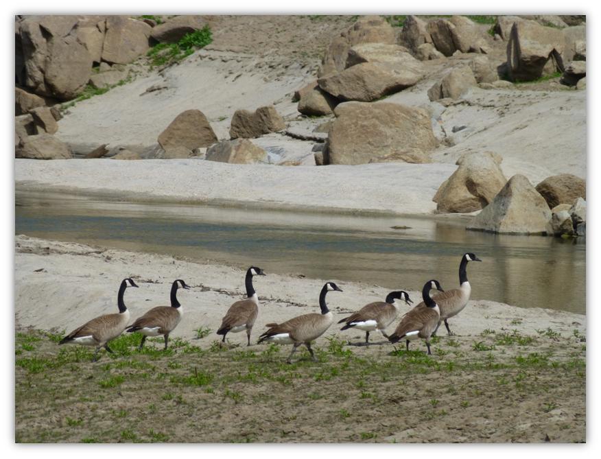
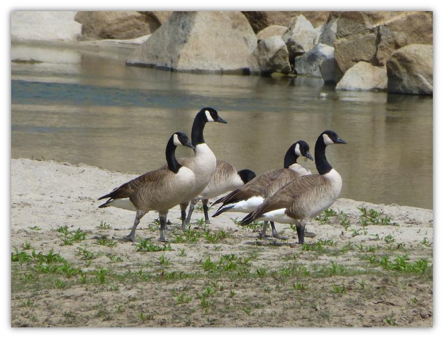
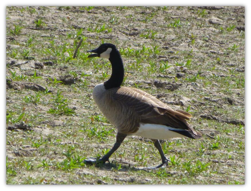
We turned around at the 5.5 mile mark and made our way back to our usual lunch spot near where the Temperance Flat Dam has been proposed to be built. Wow, was the water low. We wandered down near the water and discovered about 15 geese were making this area their home and they provided entertainment during our lunch. (Photo of me by Gail Gilbert)
The view from our lunch spot looking downstream. It looked so low, we speculated that we probably could walk across this part.
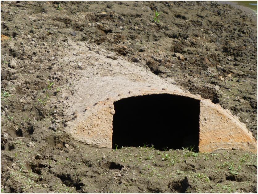
After lunch, we wandered down toward that low spot. Along the way, we discovered this huge weird old thing, mostly buried in mud, but obviously ha been long been underwater. It must have been about 10 feel in diameter and who knows how long it was. It’s past use will remain a mystery for now.
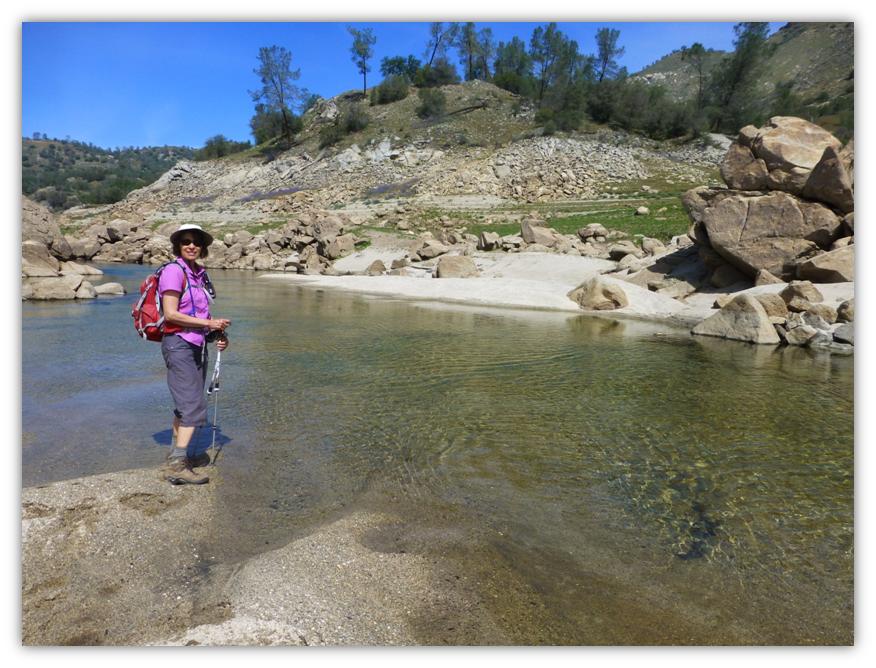
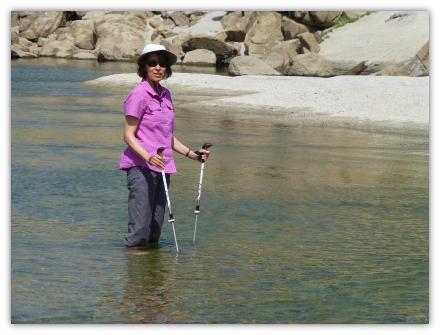
I wanted to get a picture of the low water and putting Gail in the picture gave it some perspective. While we were lining up the shot, we talked about how we could walk across. Before I knew it, Gail was taking off her boots and socks and there she went. She said the water was pretty warm but sure felt good with the heat that day. I was tempted and later during the hot, humid day, I sure regretted not doing the same or maybe taking it a step farther.
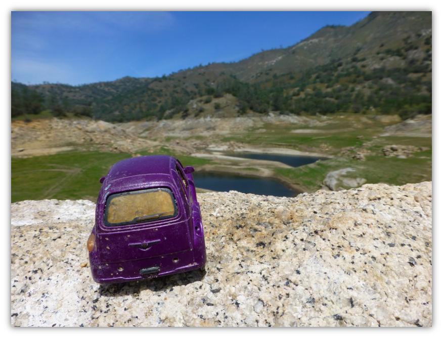
I wanted to walk up to our usual lunch spot for this hike to give another perspective on how low the water was. Someone had placed a little toy car on the rock, so how could I not include it in the picture?
We headed back on the trail but the afternoon had really heated up and had become quite humid. At one point the thermometer on Gail’s pack said it was 94. This was the warmest hike we had taken this year and I could tell how unconditioned I was for the heat. I had to take many breaks and pretty much drank my entire 100 ounces of water I brought with me.
As we headed back, those cows were still hanging out in the same spot. I think this one was trying to talk to me, probably complaining about how hot it was.
Usually there is a spot along the trail with a lot of Owl Clover, but we only saw a few here and there.
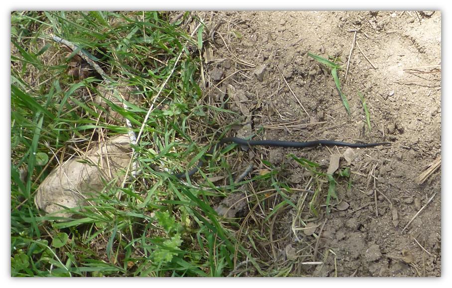
We came across a black snake with a red ring around it’s neck stretched across the trail. I quickly tried to get my camera out but my hands were so sweaty, it was slippery and I clicked off one picture, not knowing what I captured. All I got was a tail. I researched what I remembered about this snake and I believe it is called a Ring Necked Snake.
I learned that it is common throughout much of the state. It was described as grey with a ring around the neck and a bright orange or yellow ring below and at the end of the tail. This snake is common but secretive, usually discovered hiding underneath surface objects in moist areas, but sometimes seen crawling in daylight.
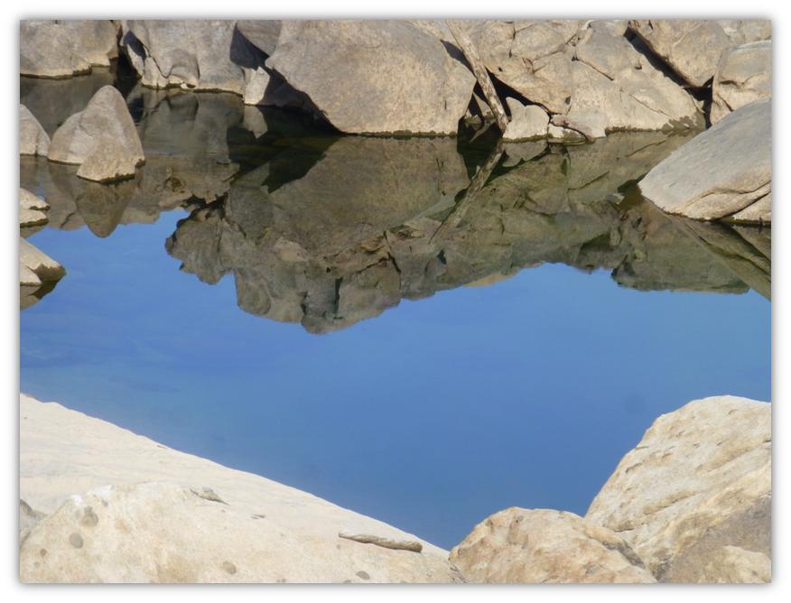
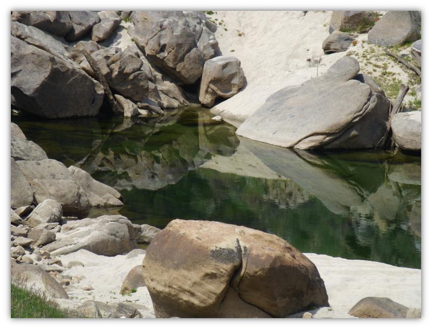
We noticed the way that the rocks created their reflections in the river in one spot.
And the poppies had opened up on our way back.
It was one tough hike today but we made it. Last year we did this hike on April 3 and this year on April 8. The wildflowers were very nice this year and I feel like we hit it at the right time for them, but wow, that lack of water this year is very scary indeed.
Sources:
http://www.blm.gov/ca/st/en/fo/bakersfield/Programs/Recreation_opportunities/SJRG_SRMA.html
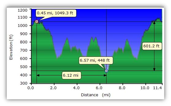
Distance: 11.44 Miles
Difficulty: Moderate
Elevation Range: 653′ – 1,081′
Date: April 8, 2014
Maps: Millerton Lake East Topog

http://www.blm.gov/pgdata/etc/medialib/blm/ca/pdf/bakersfield/sjrg.Par.31098.File.dat/SJRGBusinessPlan17March2010.pdf
http://www.californiaherps.com/identification/snakesid/common.html


