After the latest snow, there was actually snow to snowshoe on so we thought we had better act fast to enjoy it, along with the amazing views of the snow covered mountains on the Merced Crest Trail.
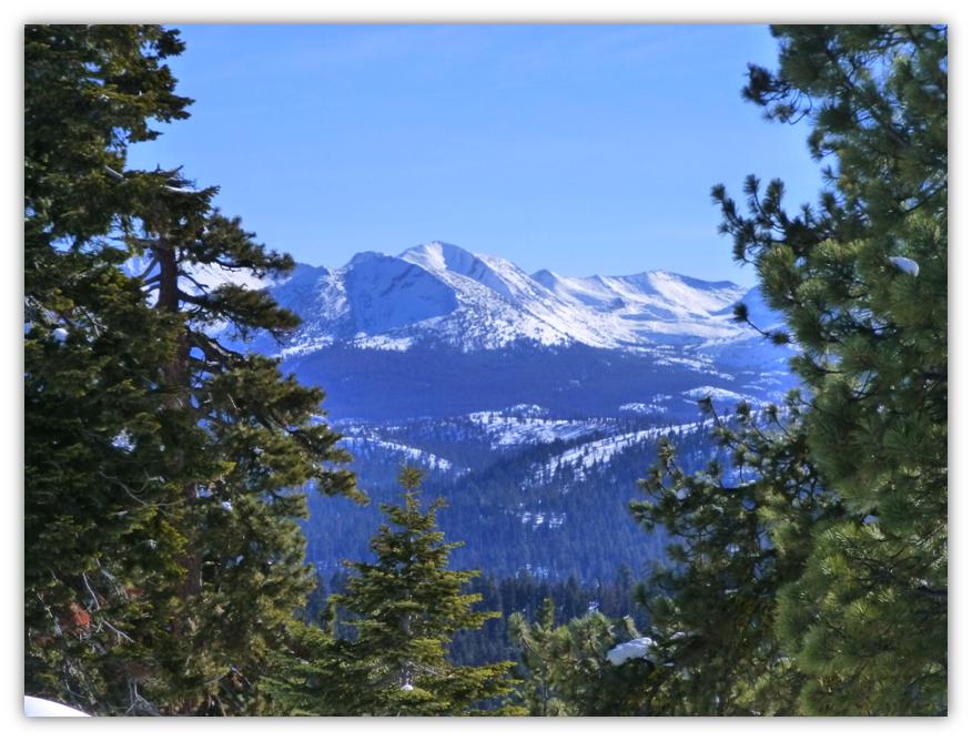
Where: Yosemite National Park Highlights: We didn’t see a soul on the Merced Crest Trail where we were treated to views of the snow capped mountains to the east, which included the Clark Range, Liberty Cap, Mt. Broderick, Half Dome, the Quarter Domes and Clouds Rest. Snow covered Westfall Meadows was such a wonderful lunch spot!
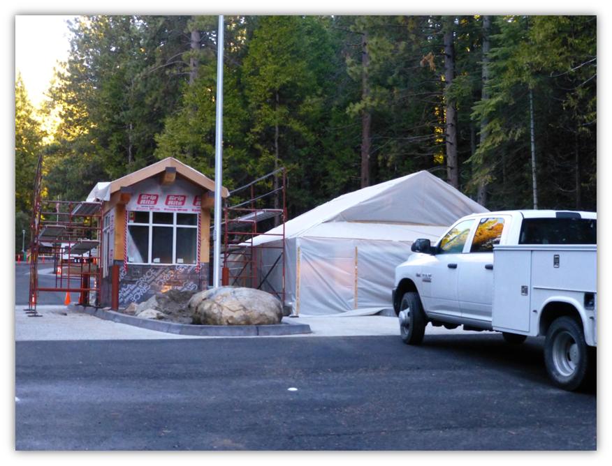
We headed up to Highway 41, getting a peek at the progress made on the new Entry Station to Yosemite National Park. It is really coming along.
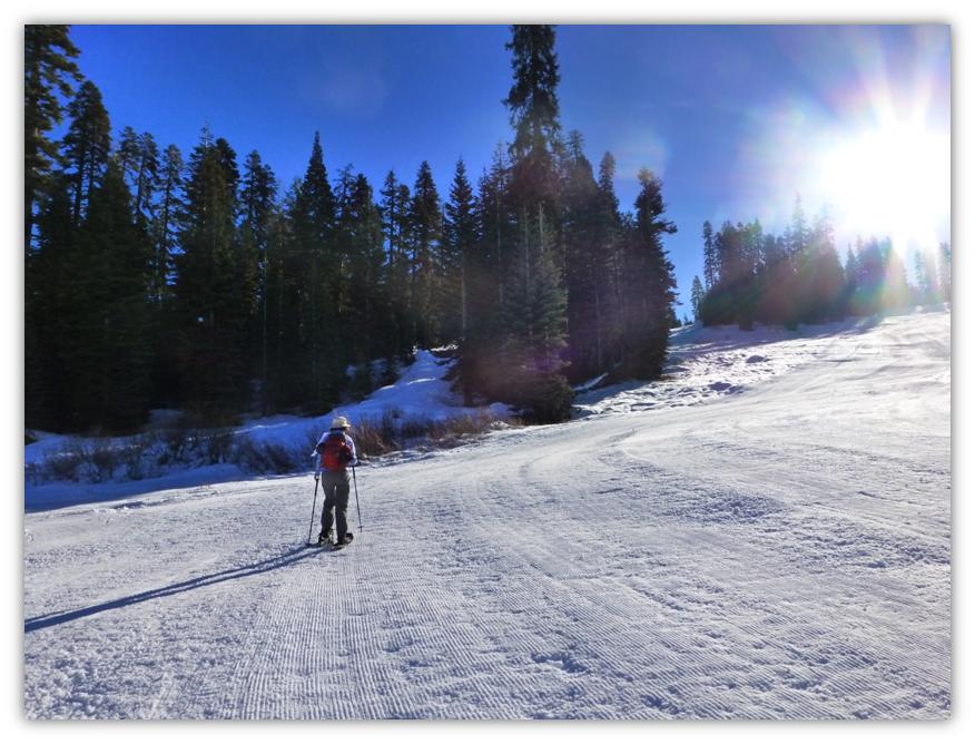
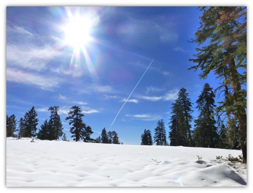
We continued driving up to Badger Pass Ski Resort where we parked, made a quick bathroom stop, then put our snowshoes on and headed along the side of the groomed ski slope near the Eagle Chair Lift, up, up and more up to the top of the hill, gaining over 600 feet in elevation in less than ¾ mile.
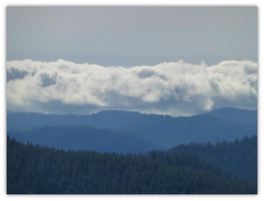
And this was the view from the top! We could look out over the valley and see that sea of fog that they were experiencing.
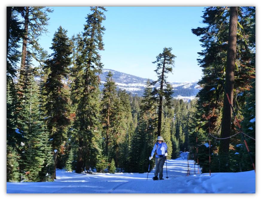
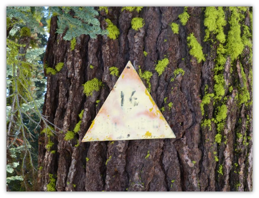
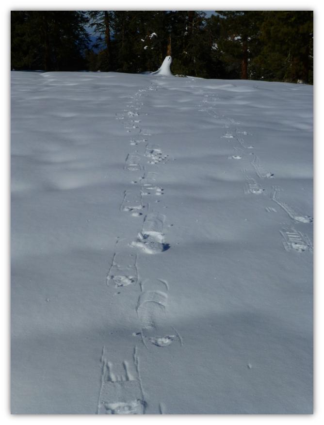
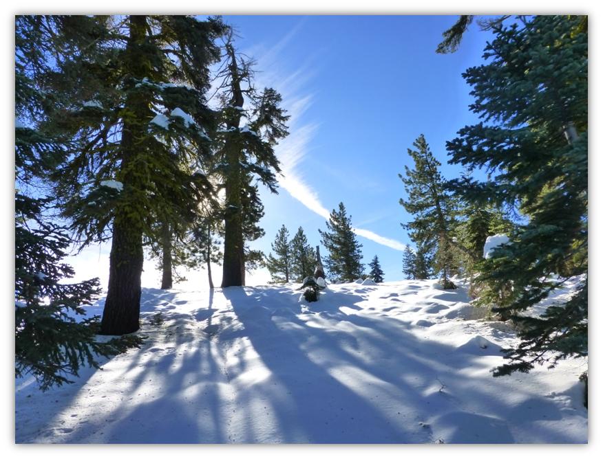
We headed east along the Merced Crest on the marked ski trail. It was well marked and fairly easy to follow but since no one had traveled on the trail since the last snow, you really needed to pay attention to the trail markings on the trees to find them sometimes.
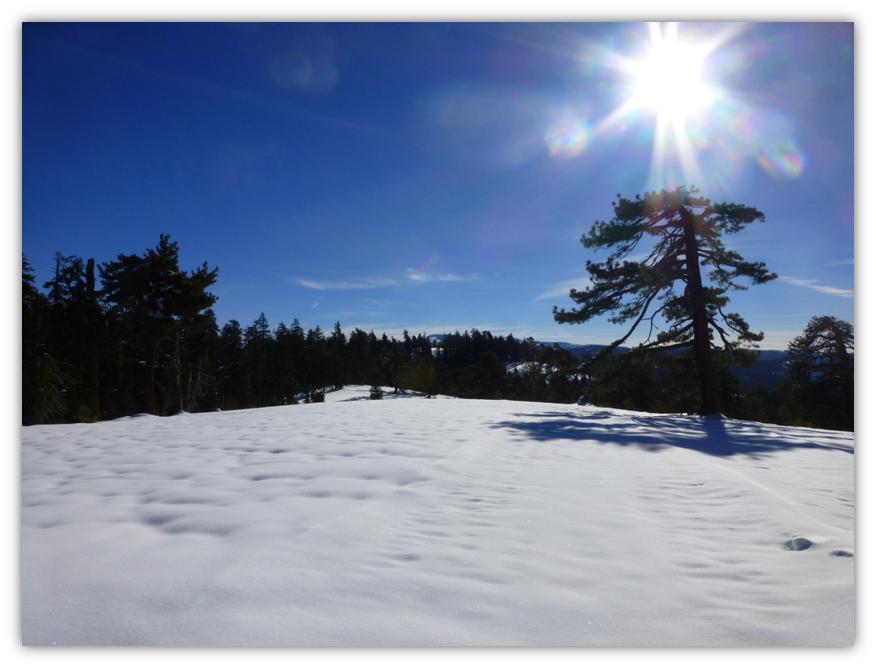
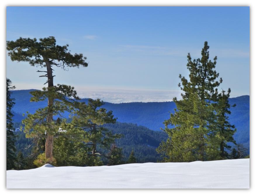
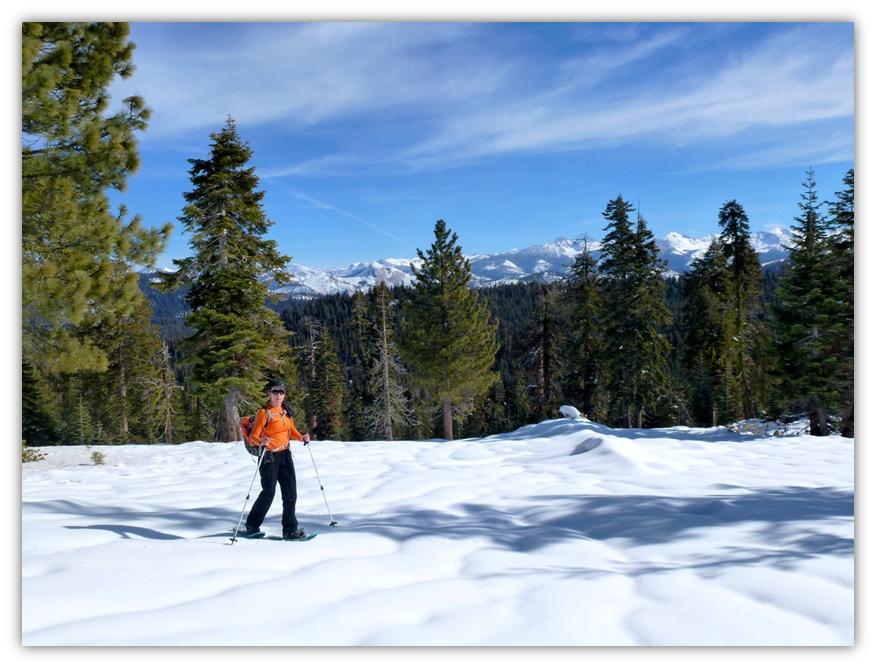
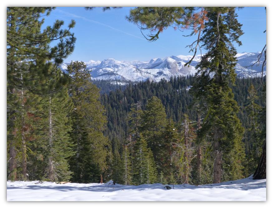
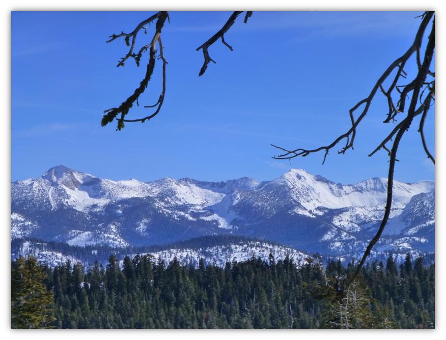
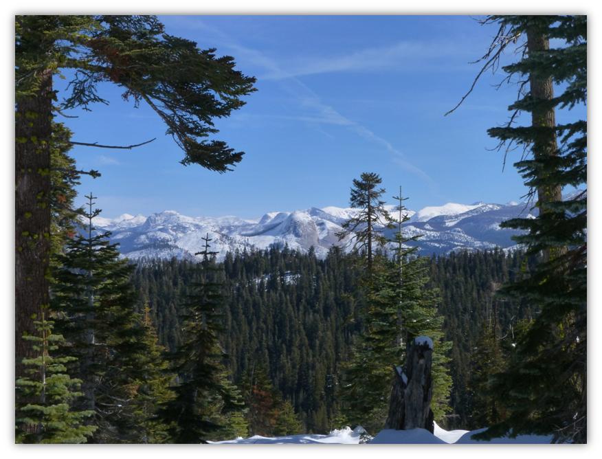
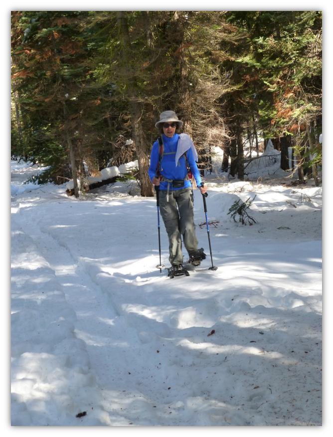
There were several areas along the Crest where you have these wonderful views of the mountains to the east or our “old friends”, as one of our hiking group calls them. The viewpoints reveal Clark Range, Liberty Cap, Mt. Broderick, Half Dome, the Quarter Domes and Clouds Rest. What a very nice background that they provided in the picture that Gail Gilbert took of me.
We continued on til we reached another great viewpoint.
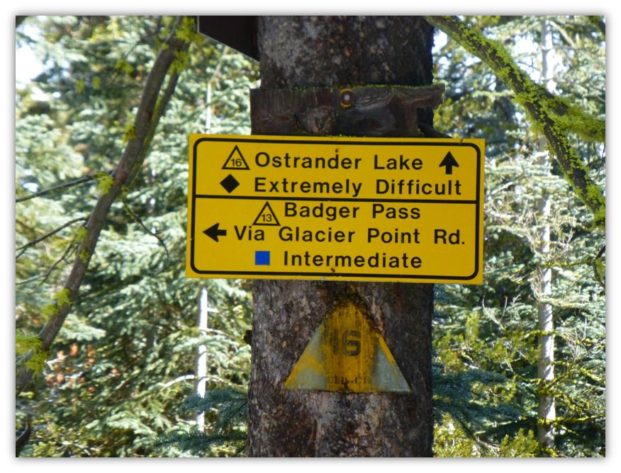
After about 2.7 miles, we reached a junction in the trail. One way will take you to Ostrander Lake and the other takes you to Westfall Meadows. We headed downhill to Westfall Meadows.
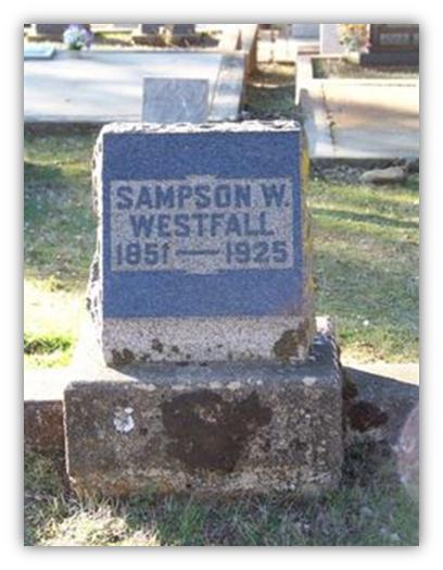
The Yosemite Book states that Westfall Meadows is named after Eldridge Westfall, one of the first rangers in this area. I just had to find out more about him so put my genealogy hat on.
I found that Sampson W. Westfall patented 160 acres in sec. 26, T. 5 S., R. 21 E. in 1887. That gave me a little bit of information to search for him, finding the information below:
Name: Sampson Wesley Westfall Mystery solved!
Eldridge Grant Westfall married Verna Louise Boothe and they had two children. Eldridge passed away January 14, 1947 in Turlock and his ashes were scattered over Yosemite National Park.
I backtracked Sampson Wesley Westfall because I was curious when he arrived in California. I’m not sure this is the same person but it fits well. There is a S.W. Westfall who is a Saloon Keeper in Hite Cove on the 1880 census. I sure would like to know more about that story. . .
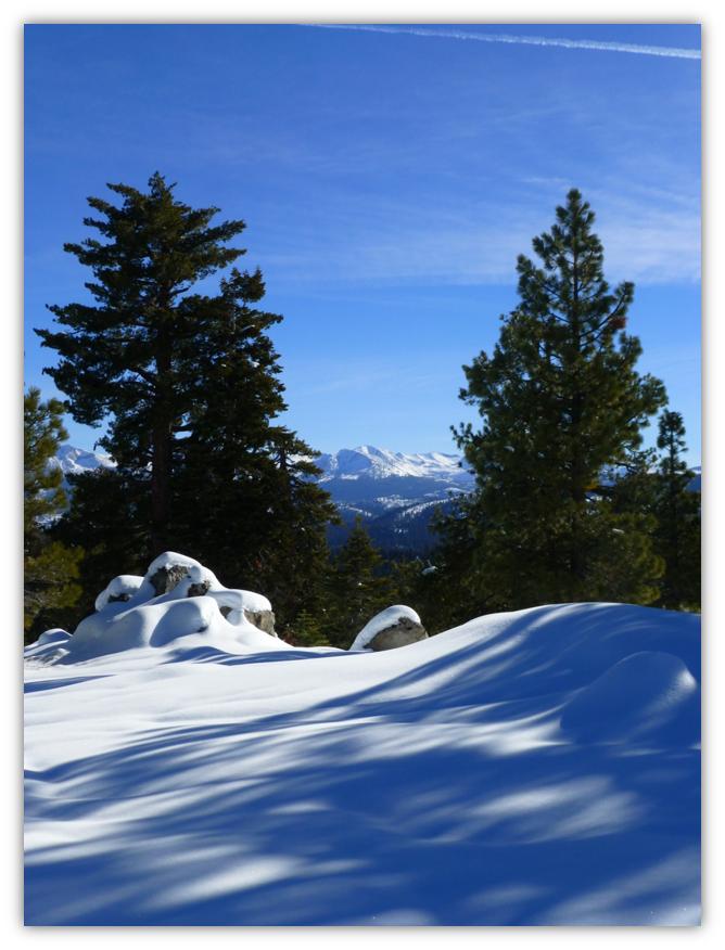
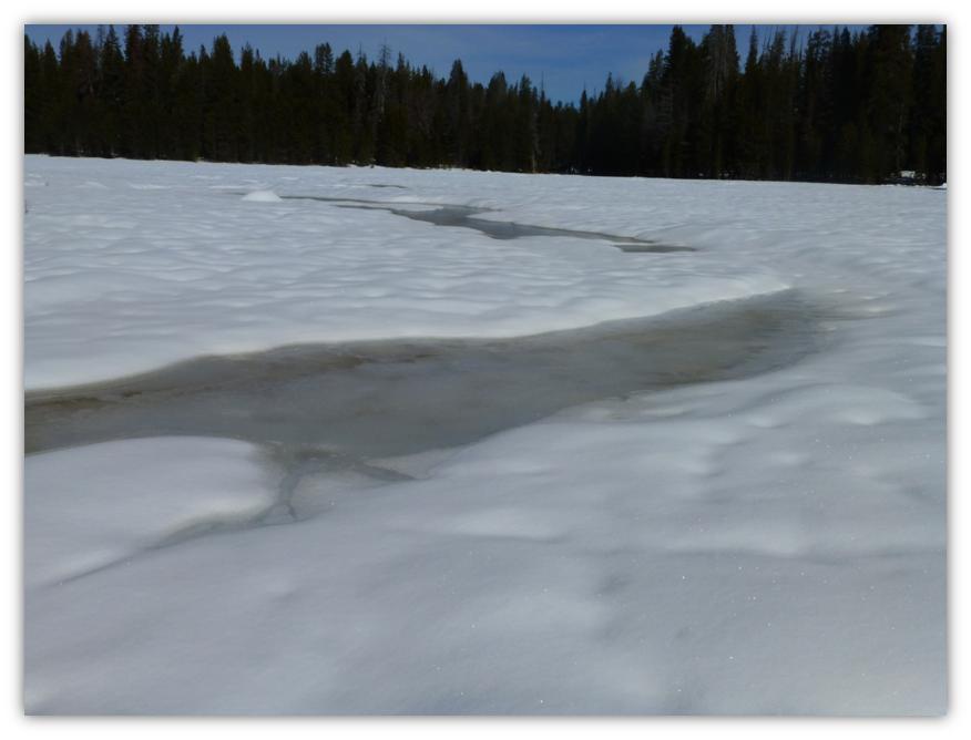
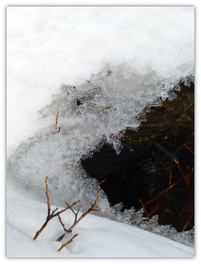
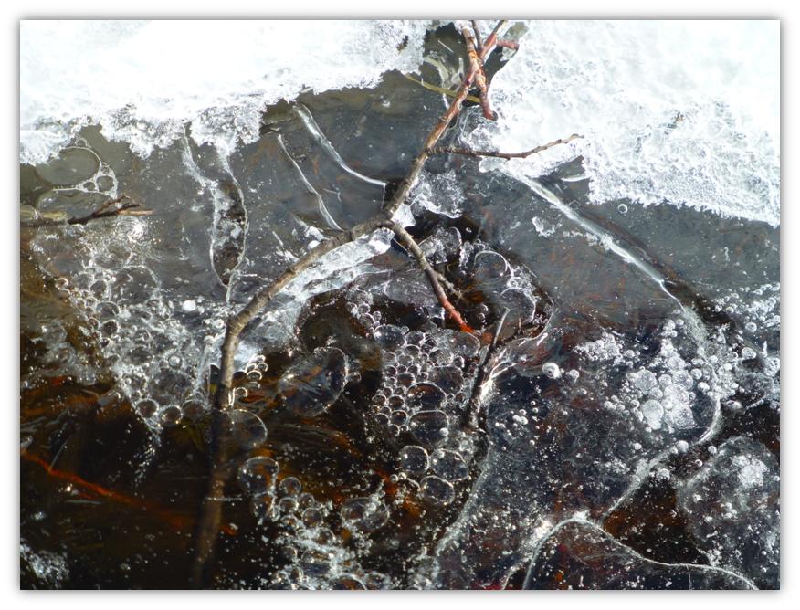
Westfall Meadows is about a mile long and we were treated to artful views of snow as the snow was melting underneath the blanket of snow, creating swirling patterns.
Back in 1868, Josiah Dwight Whitney described a horseback trip from Empire to Westfall Meadows where he was “following along Alder Creek to its source in a large meadow, known as Westfall’s. Here are two houses, Westfall’s and Ostrander’s, sometimes occupied during the summer by herders of sheep, and which have often afforded a kind of shelter, poor, but better than none, to persons overtaken by night or too much fatigues to go farther. Usually, however, this is the lunch place, or half-way house between Clark’s and the Valley, as will be easily recognized from the number of empty tin cans lying about.”
We have never seen any of the tin cans that he referenced but we totally agree that this is a great spot for lunch.
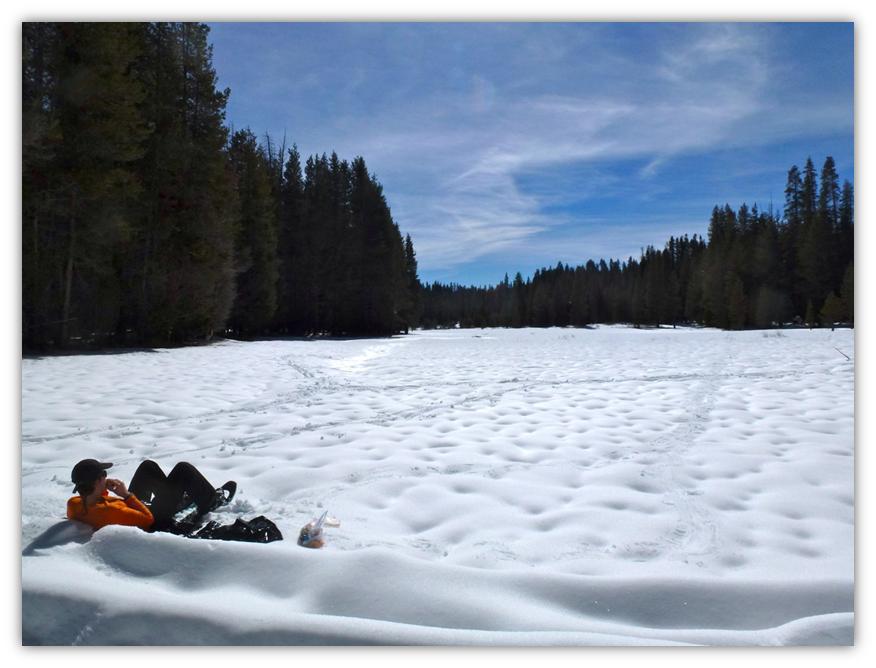
At the lower end of Westfall Meadows, we found a down tree to lean against and sat on our plastic garbage bags that we brought along so we didn’t get wet rear ends. What a great spot for lunch, which Gail Gilbert captured me enjoying.
We headed down the trail to where it met Old Glacier Road and started the gradual climb through the wet snow that the afternoon had turned to what is commonly known as Sierra Cement. What a workout.
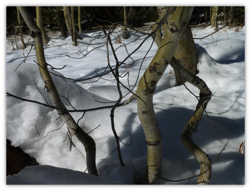
Just before we made it back to Badger Pass, we passed by a grove of Aspens. These trees are beautiful no matter what the season is. Their fall color is gorgeous, but on this trip I took in how pretty the twisted trunks contrasted with the snow and the shadows.
As we drove down the hill, we could see the fog rolling in to the Oakhurst area, reminding us of how nice of a day we had way above that fog. If you are interested in snowshoeing in the Badger Pass area, the Badger Pass Ski Center rents them. For more information on Badger Pass or their rates, check out http://www.yosemitepark.com/BadgerPass.aspx You can also check out their webcam and online information for current conditions.
Sources:
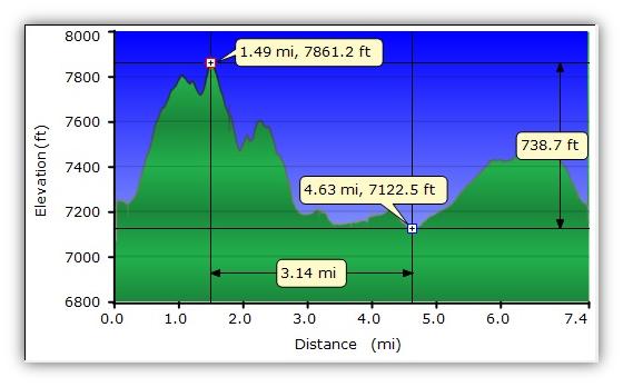
Distance: 7.4 Miles
Difficulty: Moderate to Difficult
Elevation Range: 7,067′ – 7,865
Date: February 11, 2014
Maps: El Capitan
Born: September 28, 1851 Ritchie, West Virginia
Married: About 1883 to Alpha C. ?
Children: Ethel G. Westfall born 1881 Fresno Flats (now Oakhurst), CA and Eldridge Grant Westfall born 1890 Fresno Flats (now Oakhurst), CA
Parents: James Barnes Westfall and Martha Jane Zickafoose
Died: June 14, 1925 Mariposa, CA
Buried: Mariposa Masonic Cemetery. Photo from Find-A Grave.
Josiah Dwight Whitney, Jr. (1819 – 1896)The Yosemite Book: A Description of the Yosemite Valley and the Adjacent Region of the Sierra Nevada, and of the Big Trees of California, illustrated by maps and photographs.(New York: Julius Bien, 1868). Pages 53-54.
http://www.findagrave.com/cgi-bin/fg.cgi?page=gr&GRid=33106191