You know me. Nothing like an an adventure on horseback, riding through that beautiful country in Utah, pretending I am a cowboy or an Indian or an outlaw! I signed up for a horseback adventure to cover an area that I hadn’t been before–Capitol Reef National Park in south central Utah.
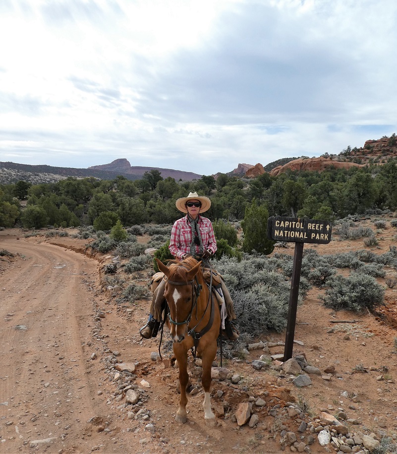
Me and Foster
Let me start by sharing some information about Capitol Reef National Park. It is next door to Escalante Grand Staircase, Capitol Reef and nearby Bryce and Zion National Parks. It is long and skinny, approximately 60 miles long from north to south axis and an average of only 6 miles wide. The park was established in 1971 to preserve 241,904 acres of desert landscape and is open all year with May through September being the highest visitation months.
Capitol Reef National Park was initially designated a National Monument on August 2, 1937, by President Franklin D. Roosevelt in order to protect the area’s colorful canyons, ridges, buttes, and monoliths; however, it was not until 1950 that the area officially opened to the public. Easy road access only came in 1962 with the construction of State Route 24 through the Fremont River Canyon.
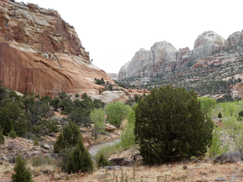
The majority of the nearly 100 mi long up-thrust formation called the Waterpocket Fold—a rocky spine extending from Thousand Lake Mountain to Lake Powell—is preserved within the park. Capitol Reef is the name of an especially rugged and spectacular segment of the Waterpocket Fold by the Fremont River. The park was named for a line of cliffs of white Navajo Sandstone with dome formations—similar to the white domes often placed on capitol buildings—that run from the Fremont River to Pleasant Creek on the Waterpocket Fold. The local word reef refers to any rocky barrier to land travel, just as ocean reefs are barriers to sea travel.
One of the reasons that I chose this specific trip was to see some petrographs and spring wildflowers. Hondoo Rivers and Trails was the name of the outfit that I signed up, owned by Patricia Kearney and Gary George, who have been guiding in this area for 42 years. Headquartered in the midst of the canyonlands at Torrey, Utah near Capitol Reef National Park, they are sensitive to the fragile environment they visit and have been on the cutting edge of their trade, implementing best practices management with low-impact camping techniques, small group size, well-maintained equipment and top notch horses. Hondoo is licensed under permits issued by the National Park Service, United States Forest Service, Bureau of Land Management and State of Utah.
How about starting with a little Native American history of the area? Early people included the Fremont, Paiute, and Ute, living in this area long before today, leaving behind pictograph and petroglyph panels.
Fremont culture Native Americans lived near the perennial Fremont River in the northern part of the Capitol Reef Waterpocket Fold around the year 1000. They irrigated crops of lentils, maize, and squash and stored their grain in stone granaries. In the 13th century, all of the Native American cultures in this area underwent sudden change, likely due to a long drought. The Fremont settlements and fields were abandoned. Many years after the Fremont left, Paiutes moved into the area. These Numic speaking people named the Fremont granaries moki huts and thought they were the homes of a race of tiny people or moki.
We loaded up the horses, our gear and drove the short distance from Torrey to Capitol Reef National Park, then began our horseback adventure, riding toward our basecamp.

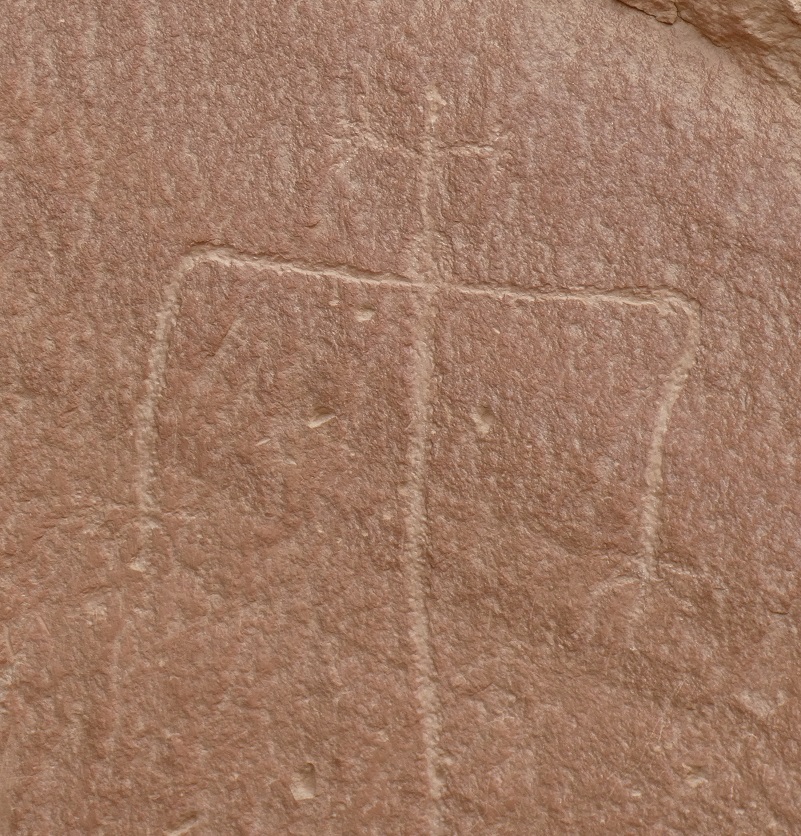
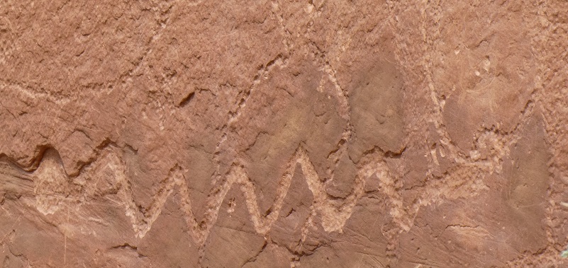
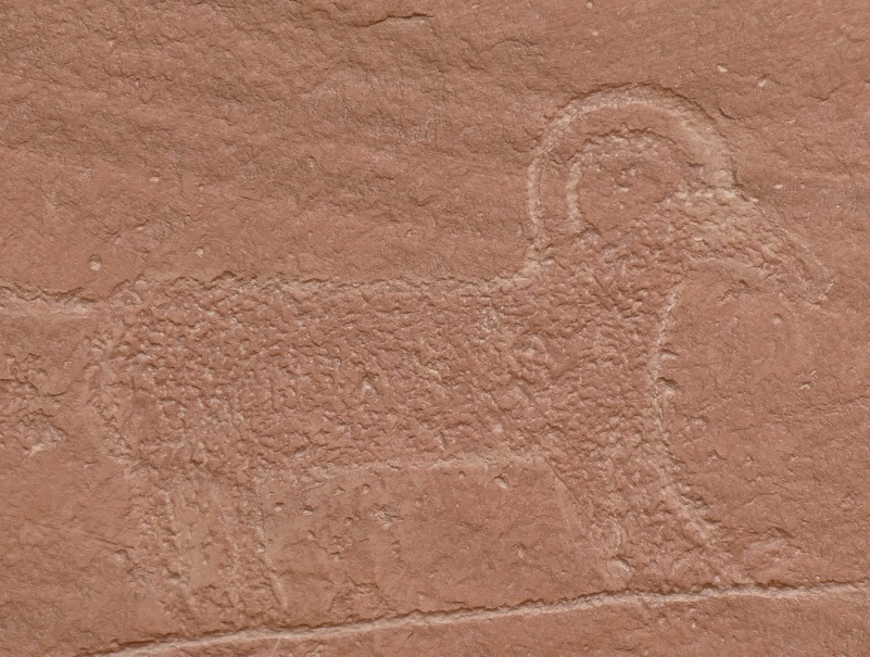
On our way to our basecamp, we rode by a site that had many petroglyphs. I could see from the way the beautiful creek wandered through this valley, that it would be a wonderful place for people to stay.
The petroglyphs were on a red wall.
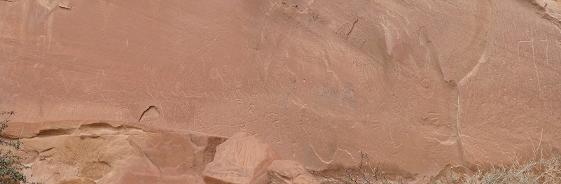


Long ago, some people had used a small area of the petroglyph wall to fire bullets, destroying some areas of the petroglyphs. The area is now protected but it was sad to see this.
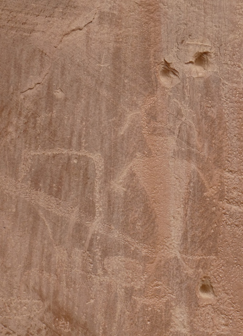
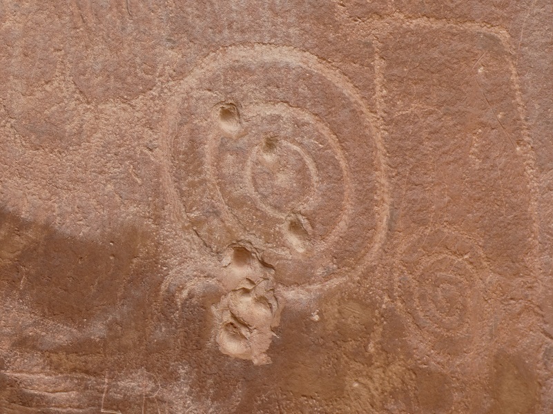
Way up high on the wall where it was a bit more protected from the weather, we could see some pictographs where they painted instead of carved the figures.

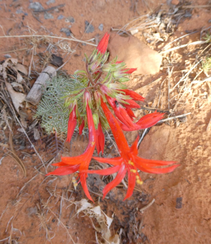
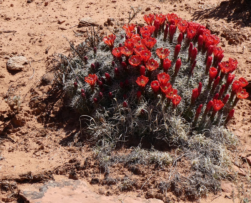
Flowers were blooming along the area where the petroglyphs were located.

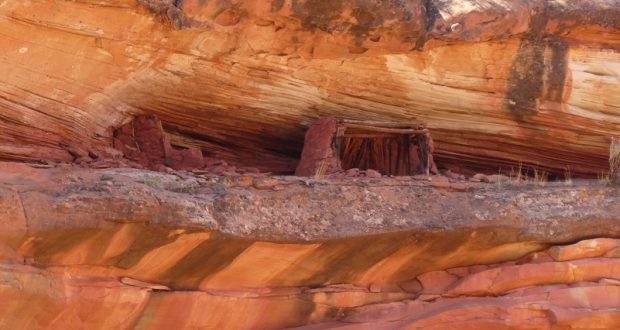
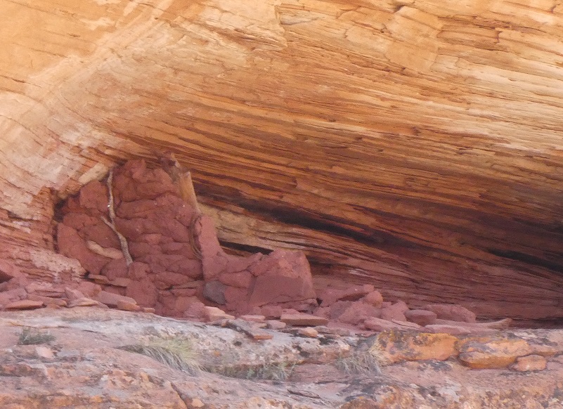
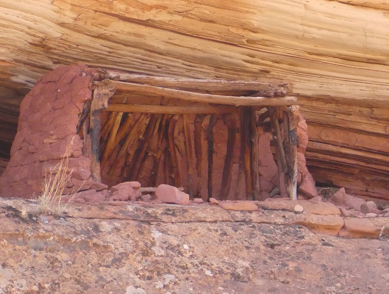
On a different day of riding, we rode by an old structure of curious origin. We got off of our ponies and tied them to nearby trees.

I took out my binoculars to get a closer look and could see the detail that even included timbers that had stood the test of time in this arid climate. One theory was that since this was a north facing slope, that this was a grainary storage location. We couldn’t identify any easy way that they could have reached the structures but since we were across the arroyo from it and a ways away, maybe they had a ladder to reach it or there could have been a path along the cliff.
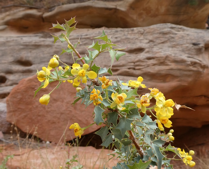
We did see a few more plants blooming.
After riding about 6 hours a day, we would return to our basecamp where the horses were fed, watered and tied to a highline. Of course we were also well fed.
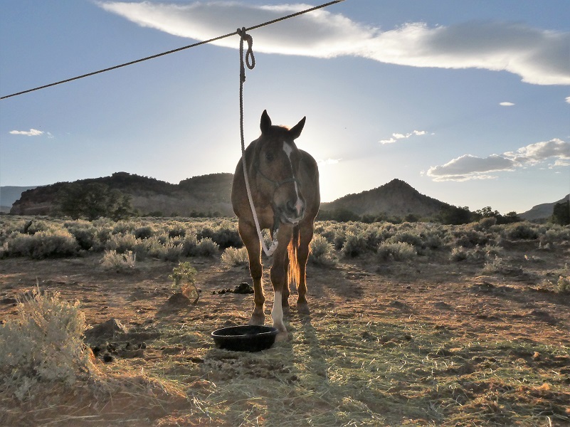
Foster
I had an absolutely fun time riding Foster though beautiful Capitol Reef National Park and look forward to telling you a bit more about camp life on this adventure soon.
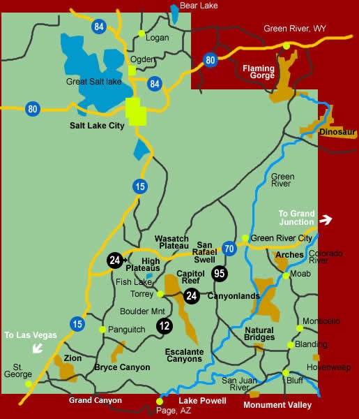
Maps:
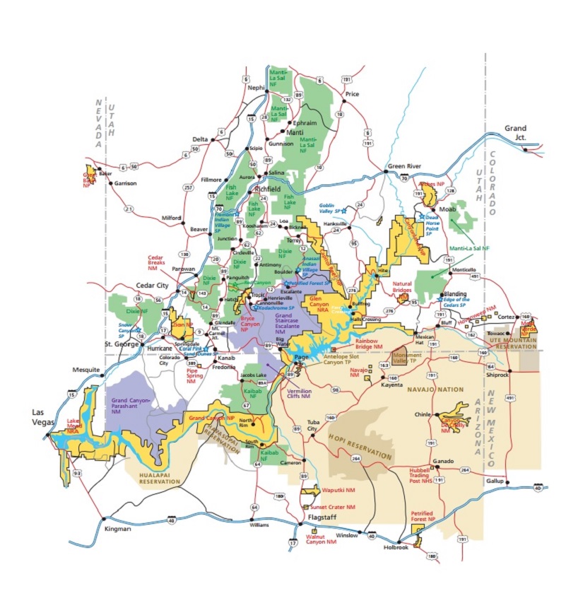
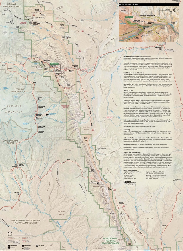
Capitol Reef Map from Capitol Reef National Park’s Website
Sources: