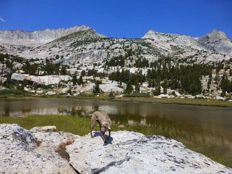
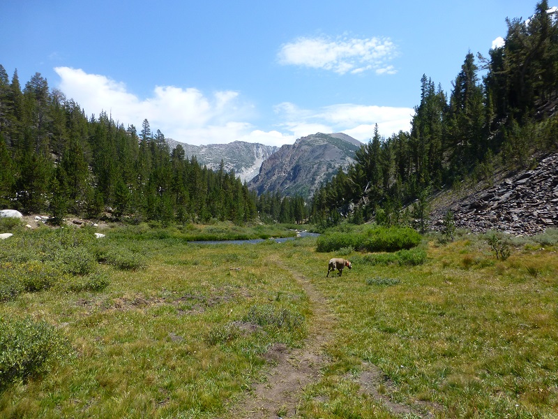
Sally led the way as we hiked up to 6 beautiful lakes in the Hoover Wilderness. Some had beautiful reflections, 1 had lots of polliwogs and 1 served as our lunch spot underneath Mount Conness.
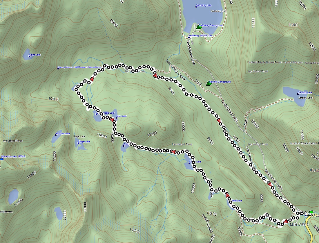
Where: Hoover Wilderness, Inyo National Forest
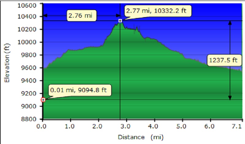
Distance: 7.13 Miles
Difficulty: Moderate to Strenuous
Elevation Range: 9,533′ – 10,375′
Date: August 18, 2016
Maps: Falls Ridge and June Lake Topographic Quads
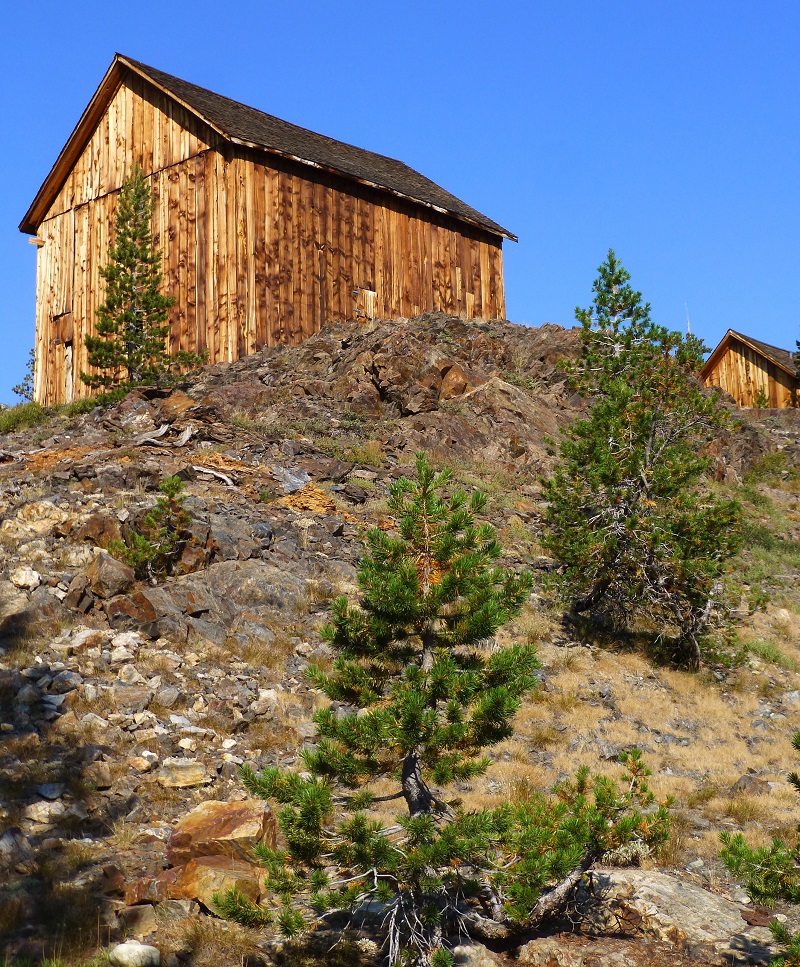
We headed east on the Tioga Road about 2.2 miles east of the Tioga Pass entrance to Yosemite, to the turnout at Tioga and Saddlebag Road adjacent to Junction Campground. Of course, Sally was ready to go!! We headed up the trail to the old mining town of Bennettville. The trail follows Mine Creek as you head up the trail toward Bennettville and you can see the old mine tailings up on the side of the hill.
The old mining town of Bennettville housed those hardy miners and there used to be 14 buildings but they have been lost to time. The United States Forest Service restored two of the buildings, an assay office and a bunkhouse, back in 1993. If you are hungry for more history related to Bennettville and the mining in this area, you can access the links of my prior blogs on the area at the bottom. We didn’t stay long at the town because we had many lakes that we wanted to visit on this hike.
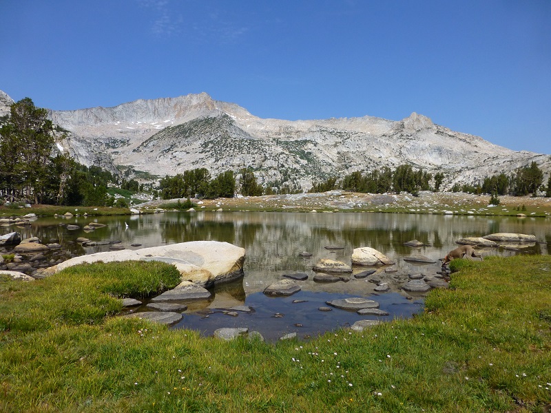
We headed up the trail to Shell Lake (9,880′ elevation), the first of our 6 lakes on this hike.

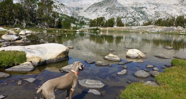
Next up was Fantail Lake (9,905′ elevation), full of beautiful reflections.

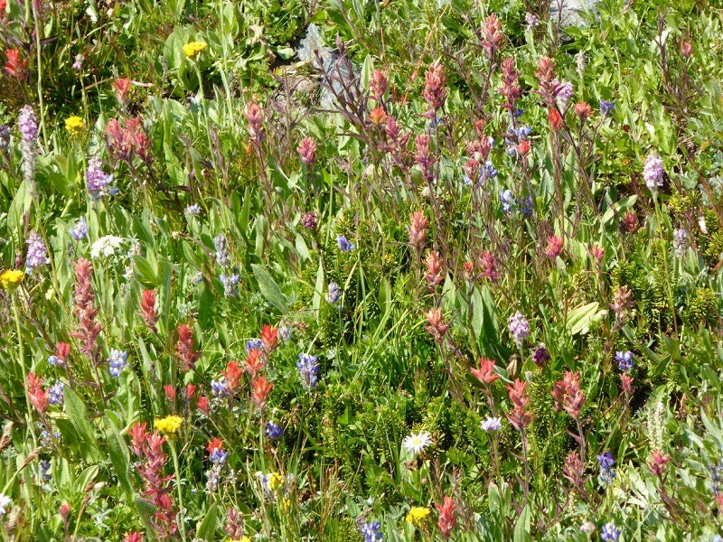
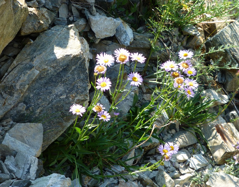
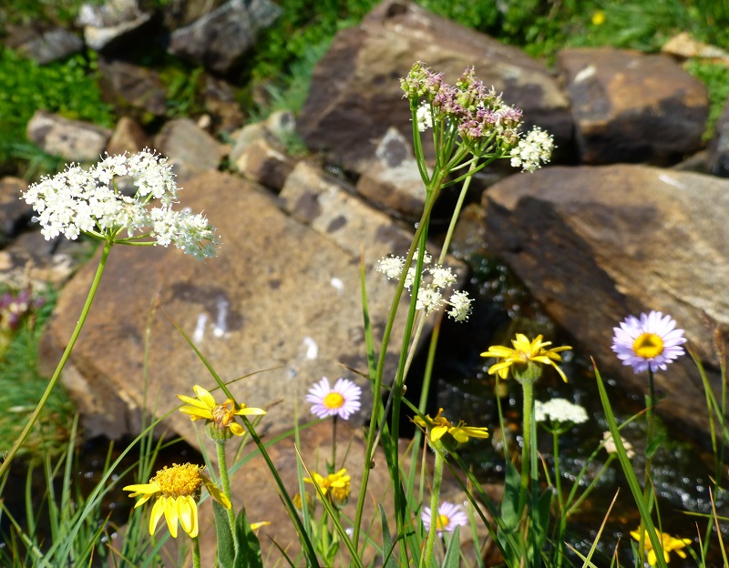
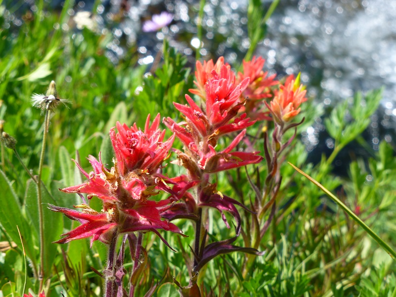
We were pleasantly surprised by the amount of wildflowers this late in the year.
(Photo by Gail Gilbert)
Gail spotted a very pretty flower that we didn’t remember seeing. Joanna Clines, Botonist for the Sierra National Forest has helped us identify our unknown flowers in the past and she told us that although this one resembles stonecrop but it’s in a different family. This is Tolmies alpine saxifrage (Micranthes tolmiei). Thank you Joanna!
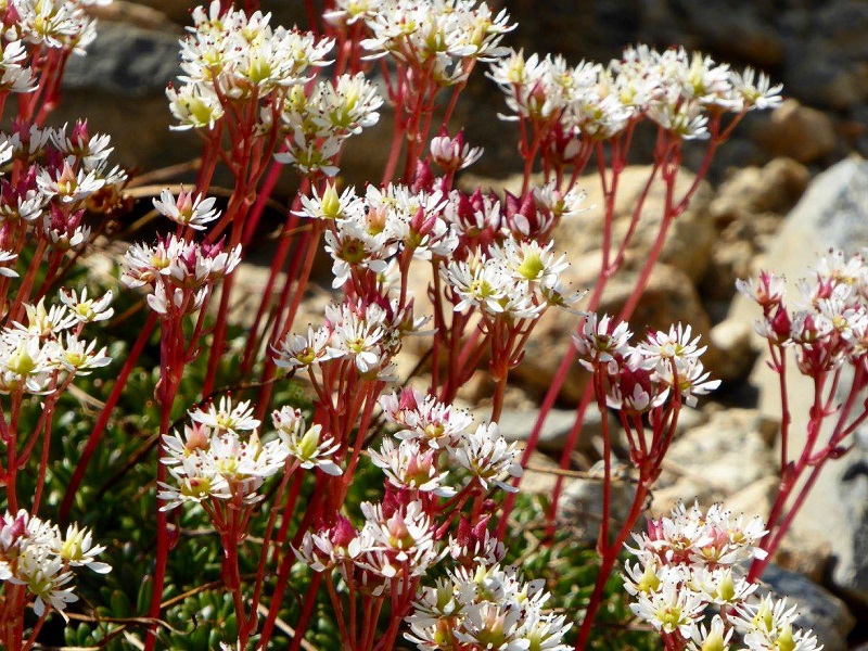
Tolmies alpine saxifrage (Photo by Gail Gilbert)
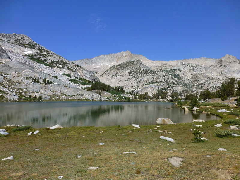
We continued on up the trail to Spuller Lake (10,279′ elevation).
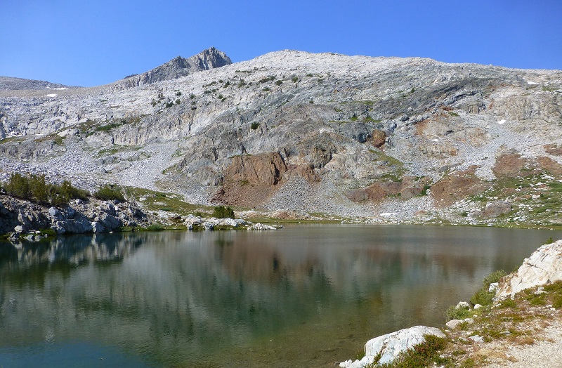
As we crested the hill, we could see Maul and Green Treble Lakes. You can even get a glimpse of Saddlebag Lake.
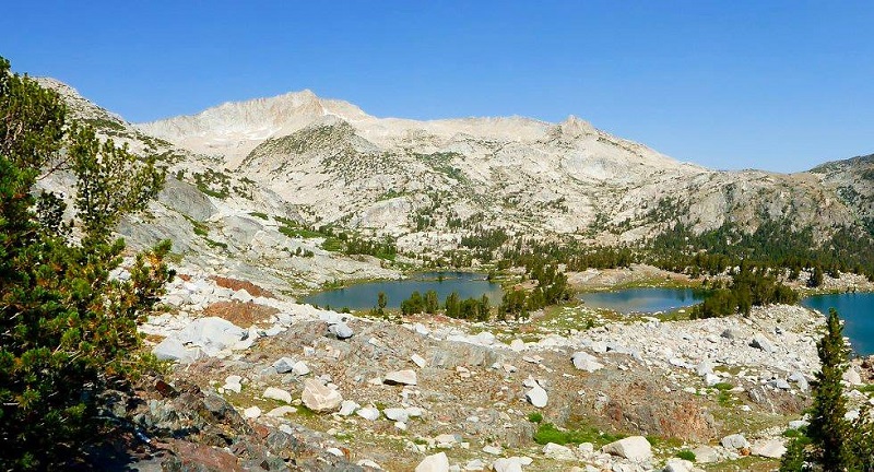
Green Treble Lake on the left and Maul Lake on the right. (Photo by Gail Gilbert)
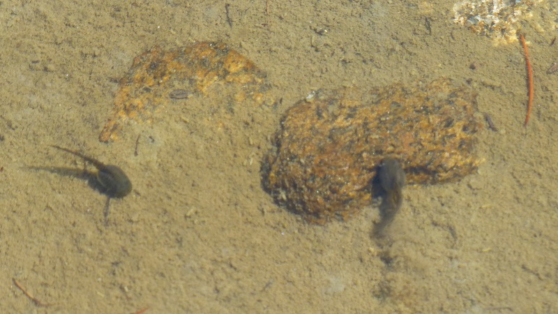
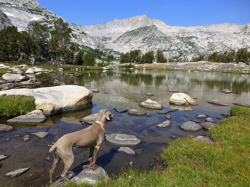
We continued down to Maul Lake (elevation 10,249′) and as we worked our way along its shores, we discovered lots of polliwogs in the shallow pools.
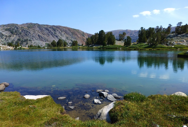
We walked over the small hump to Green Treble Lake (elevation 10,239′), which has two parts. When the water is high, they are one lake but when it dries up and the shoreline shrinks in the summer, a small rise separates the two parts.
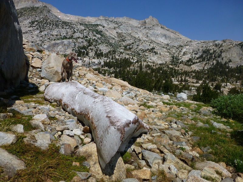
We worked our way along the side of the mountain and Sally found a small patch of snow.
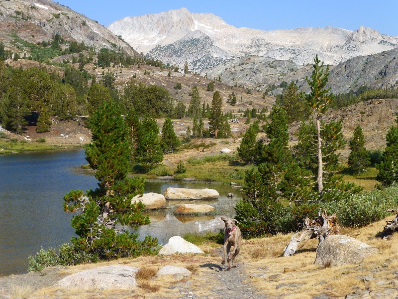
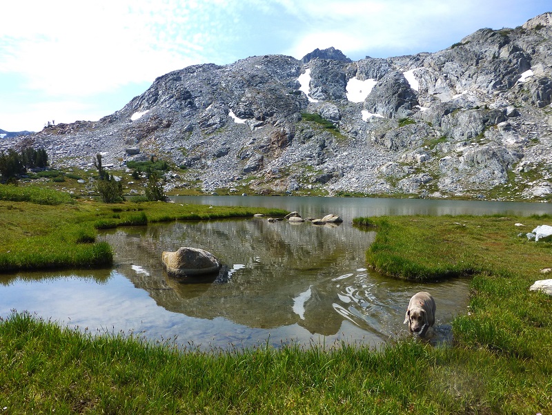
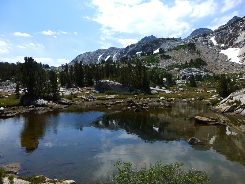
We headed down to a small, unnamed lake where some rocks made the perfect lunch spot (elevation 10,079′) to look up at Mount Conness.
After lunch, we followed the outlet of the lake out, which would eventually become part of Lee Vining Creek. We were surprised to find a small tarn with beautiful reflections along the way.
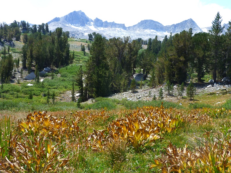
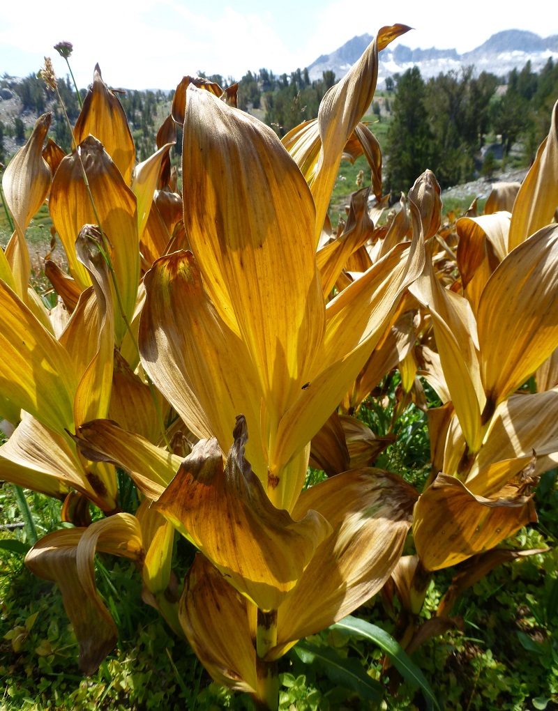
As we worked our way down, we noticed that the small willows were already sporting their fall colors, as were these corn lillies.
Following the creek was very open and wide at the beginning but as we worked our way down, it became a little narrower. A fisherman’s trail became clearer, which we pretty much stuck to, except for a couple of rock slides that we had to go above. Sally led the way.
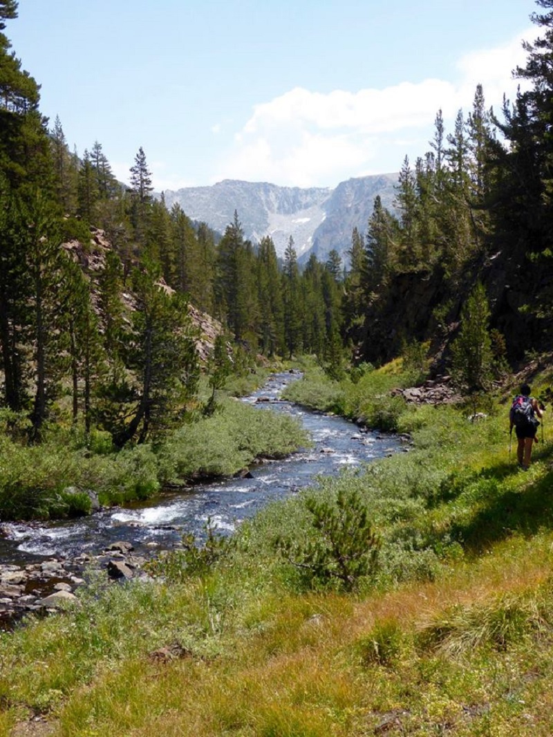
Heading Down Along Lee Vining Creek (Photo by Gail Gilbert)
This is a good hike for Sally. It is above tree line so I can keep a good eye on her and let her run a little. There aren’t any rattlesnakes or poison oak and there is plenty of good, fresh drinking water for her all along the way. That means I don’t have to pack her water and that is a good thing! Sally has never had any problems drinking the water out of these higher elevations but some dogs may not be as easy as Sally on this issue. I think you need to know your dog and you may need to carry some water for them. There are a couple of negative issues for dogs in the area though. The rocks can be tough on their feet, especially if they aren’t toughened up yet. I carried Sally’s boots, just in case. Also, this area has bubonic plague and if you dog gets a hold of a critter such as a squirrel or mouse, this could be something to watch for after a trip in this area.
Tips for viewing my blog:
- You can click on any of the pictures to view them larger, and then click forward and view them as a slide show.
- You can right click on any image and save that image to your computer then print if you wish. There are other options on that right click such as emailing the image. Of course, this will depend on which web browser you are using. This option will work well if you want to save the Topographic Maps for hiking or print them out.
- You can print the entire blog if you wish. At the bottom of the blog, after the Sources, there is a link “Print This Article.”
- You can save the Blog by right clicking, “Save Page As.”
- If you want to find one of my prior blogs, you can go to Adventures With Candace and scroll down to see if you can to find it, but there is an easier way. If you can remember a key word of the hike or its location, you can search for it by typing in the upper right top search bar on SNO’s Home Page.
Map and Profile:
Prior Blogs in this Area:
Bennettville to Spuller Lake Snow & Ice Hike February 13, 2013
Hiking With Sally And Raven from Bennettville to Green Treble Lake June 2, 2014
Hiking to the Old Mining Town of Bennettville and the Lakes Beyond November 11, 2014

