Sally, Raven and a group of us headed up Mammoth Pool Road through 2014’s French Fire to Shuteye Pass where we saw an approaching storm dust the surrounding mountains with snow. We had gorgeous views of clouds, the Minarets, Mammoth to the east and the numerous Domes in the area.
Where: Sierra National Forest
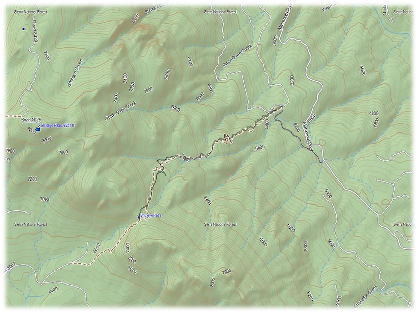
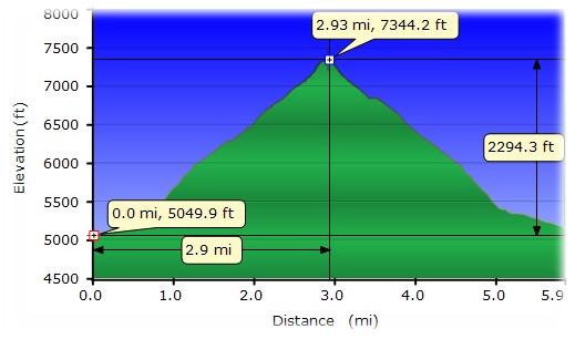
Distance: 5.9 Miles
Difficulty: Moderate
Elevation Range: 5,050′ – 7,360′
Date: January 30, 2015
Maps: Little Shuteye Topographic Quad, Sierra National Forest Map
We left North Fork, driving up Mammoth Pool Road. We drove miles through where the French Fire had burned, but there were pockets of green trees along the way.
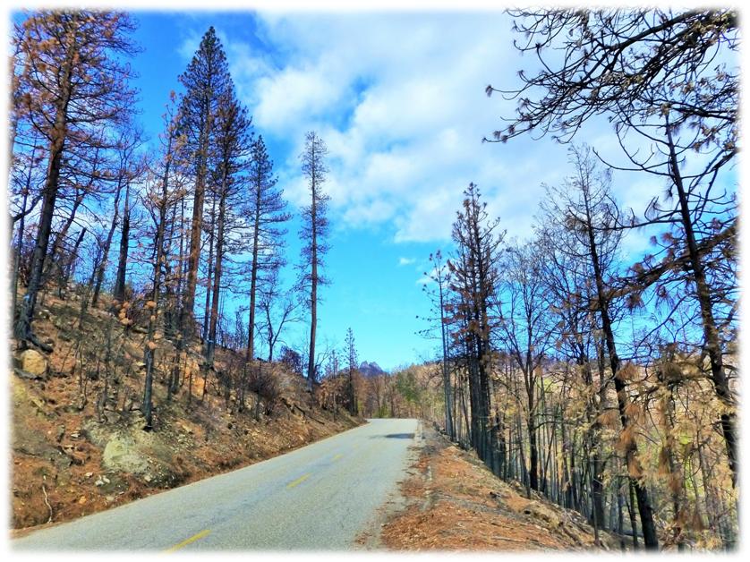
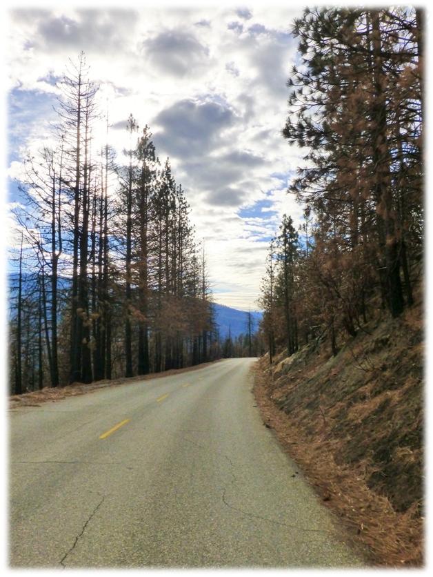
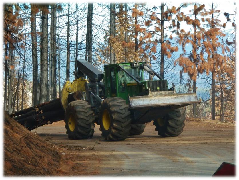
The French Fire was caused by someone leaving a campfire burning, and was discovered on July 28, 2014 in the Rock Creek drainage below Mammoth Pool Road. It burned 13,835 acres, much of it in steep, rugged, inaccessible terrain. Logging is now being done to salvage some of this burned timber. We drove through a couple of areas where they were logging, one where we had to wait a bit but we got a chance to watch the logging operation. (Picture of Skidder by Debra Sutherland)

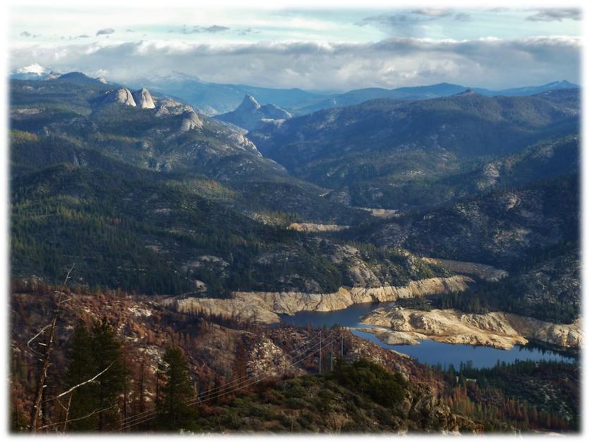
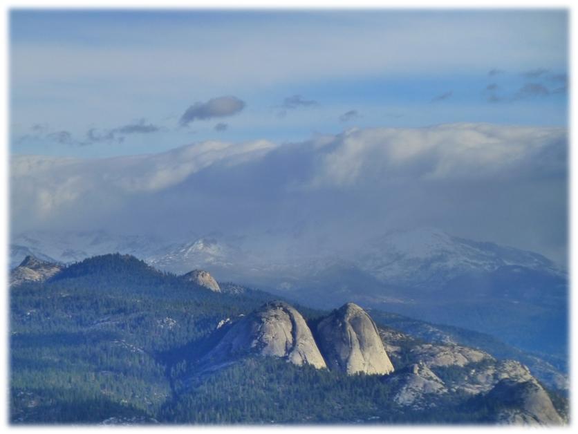
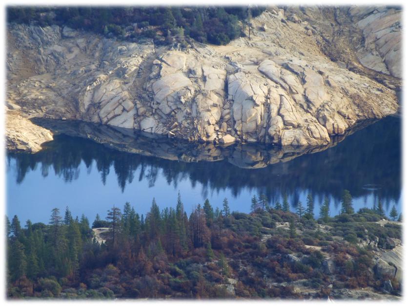
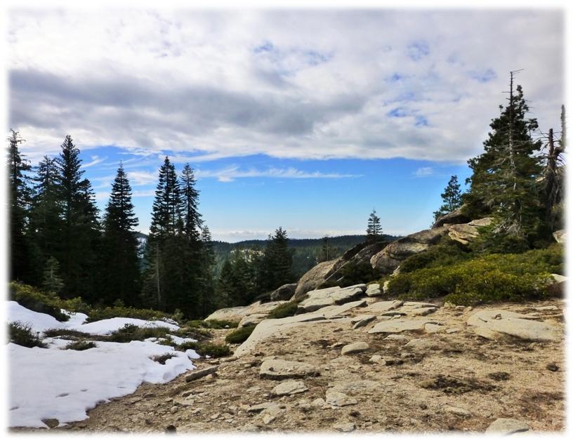
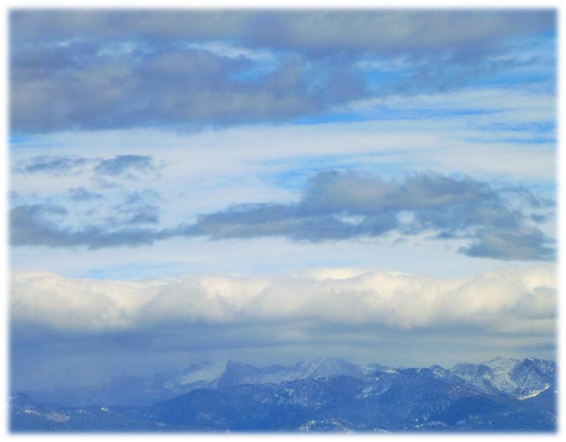
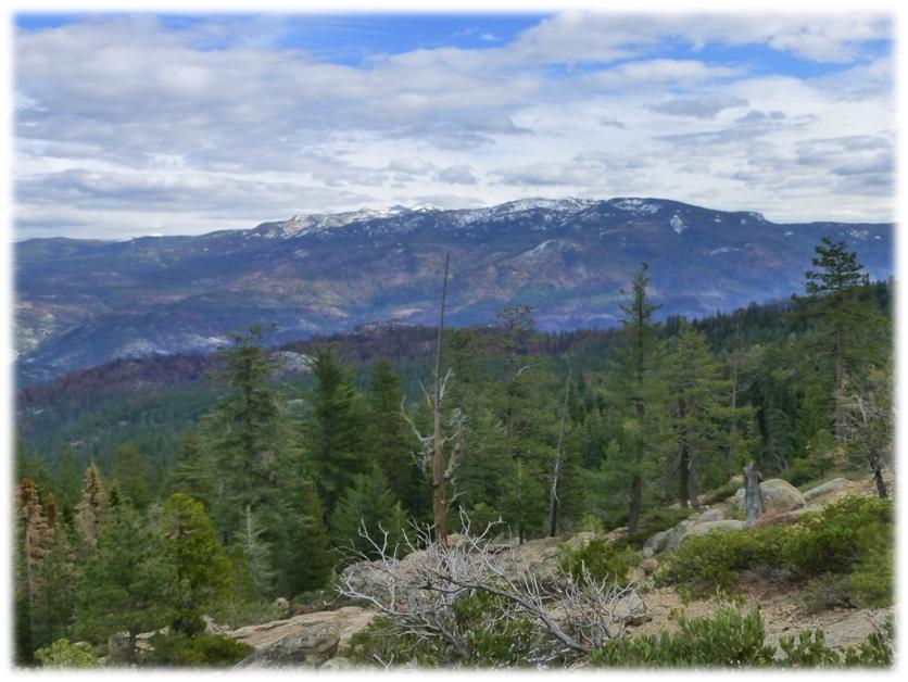
Along the way, we had some spots where we could look up the San Joaquin River where we saw lots and lots of Domes. The mountains that we could see to the east included the Minarets and Mammoth. We could also make out some snow flurries. This view was so pretty with the clouds, blue sky and mountains. (First photo by Debra Sutherland)
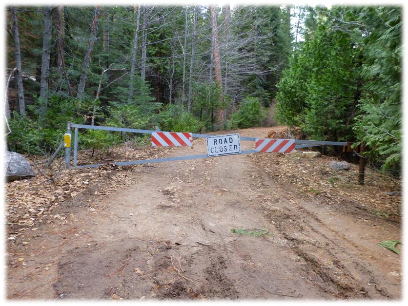
I did not capture the mileage but online information says that it is about 30 miles up this road until you reach the dirt road on the left that took us up to the trail head. There are lots of landmarks in this area named Shuteye such as Shuteye Peak, Little Shuteye, Shuteye Peak Lookout and of course, Shuteye Pass. It is said that Shuteye was originally named after a native Mono Indian who resided in the area and lost one eye in an accident.
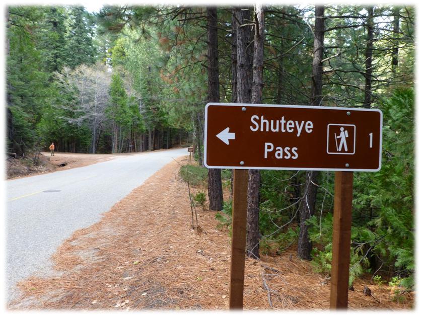
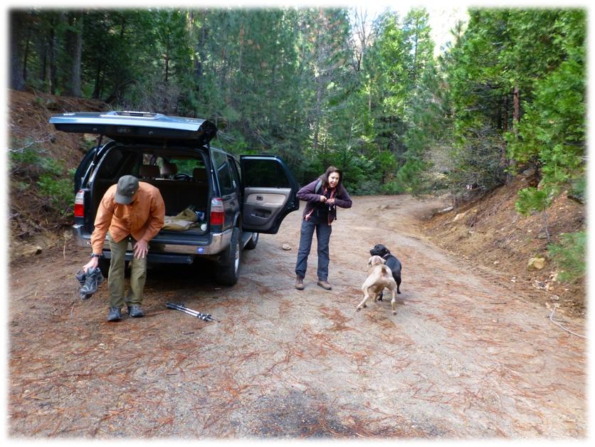
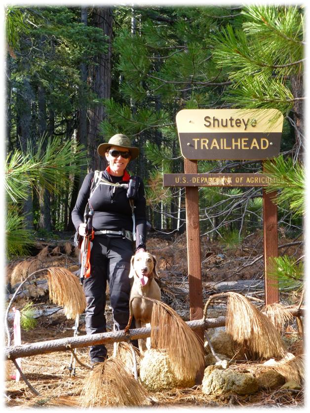
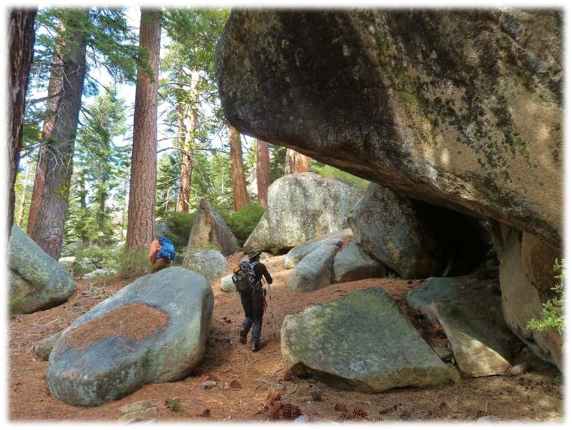
There was a gate across this dirt road so we parked and walked up the road for about a mile to the trail head for our adventure on the Shuteye Trail. As soon as Sally and Raven got out of the car, they were ready to go. It took us a little bit longer to get ready.
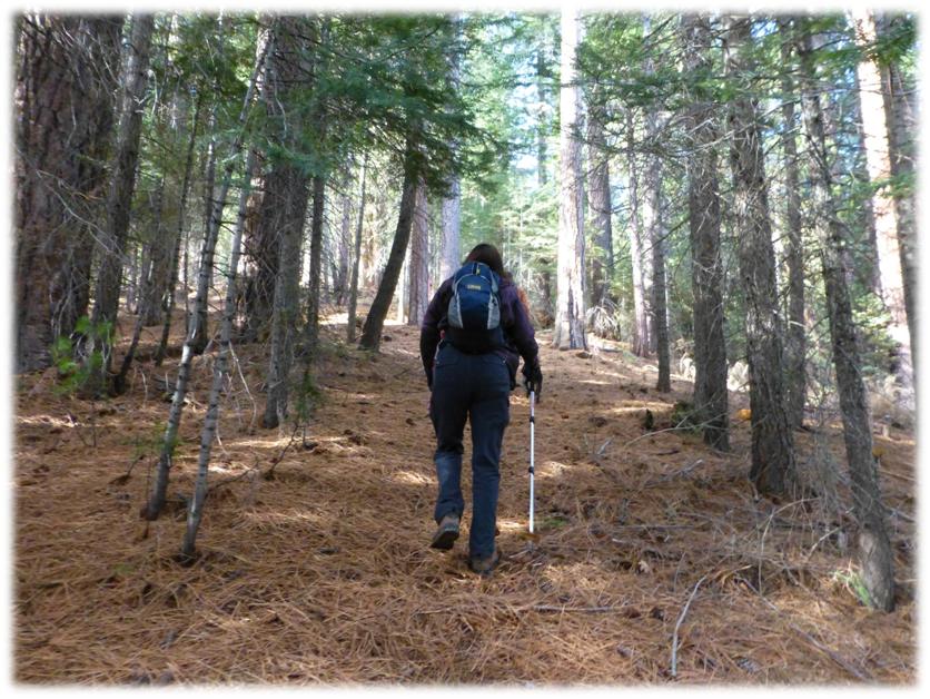
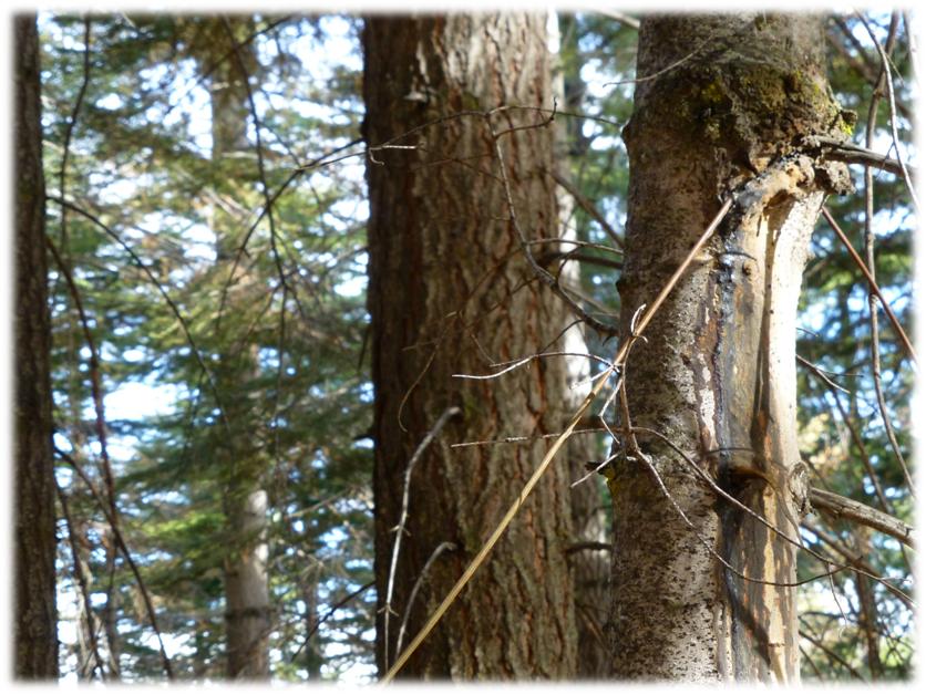
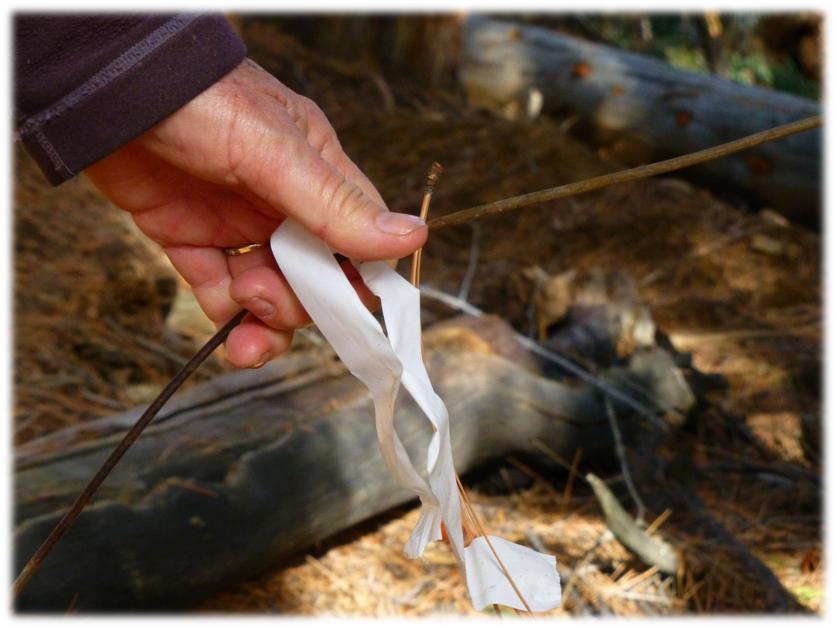
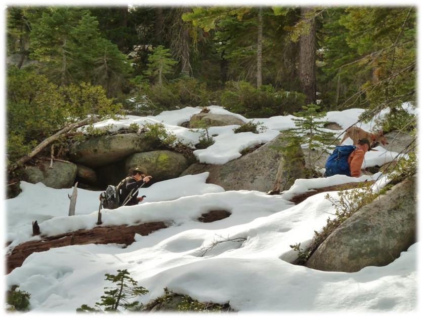
We headed up the trail and hadn’t gone too far until a dozer line intersected with the trail, making it difficult to locate the trail but someone had flagged the trail with pink flagging. We could usually locate that flagging to follow the trail in this lower portion. There was also pink flagging for other reasons out there, but we were able to easily find our way. We knew we were going up, so that is where we went. We came across an old phone line, some survey markers and blazed trees along the trail.
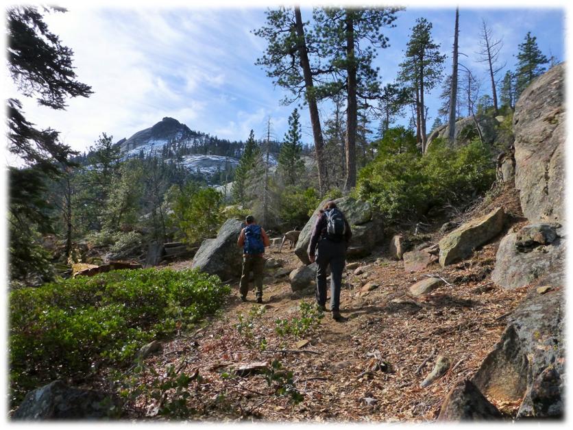
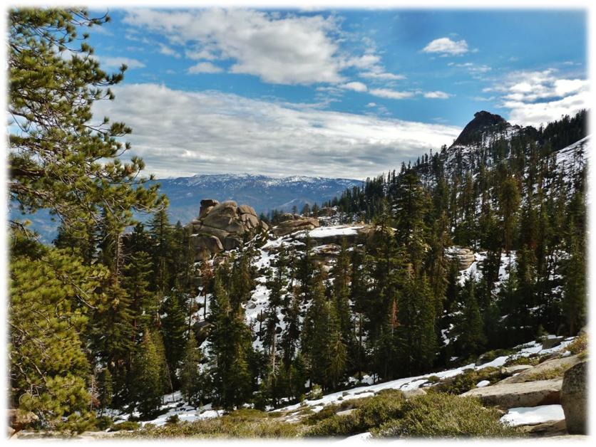
We continued on up the trail, taking pictures of the surrounding mountains as we climbed. (First photo by Debra Sutherland)
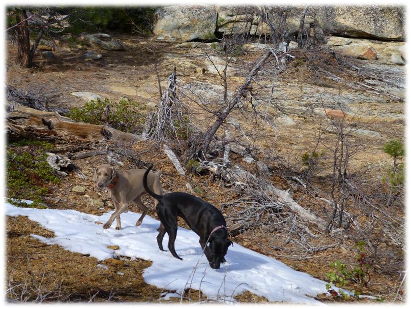
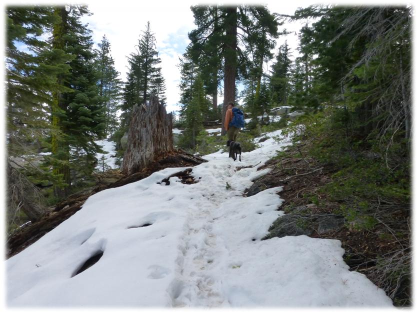
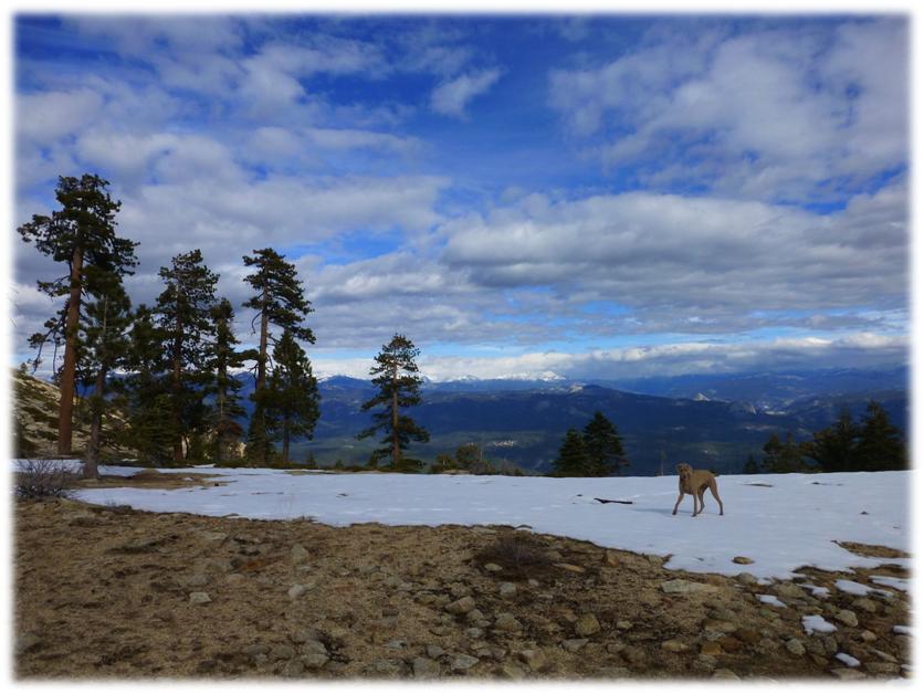
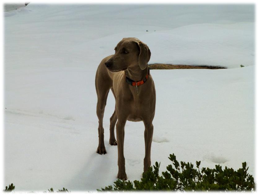
As we got closer to the top, the dogs found snow, which they loved playing in.
Little did they know what a treat they would have as we climbed higher!
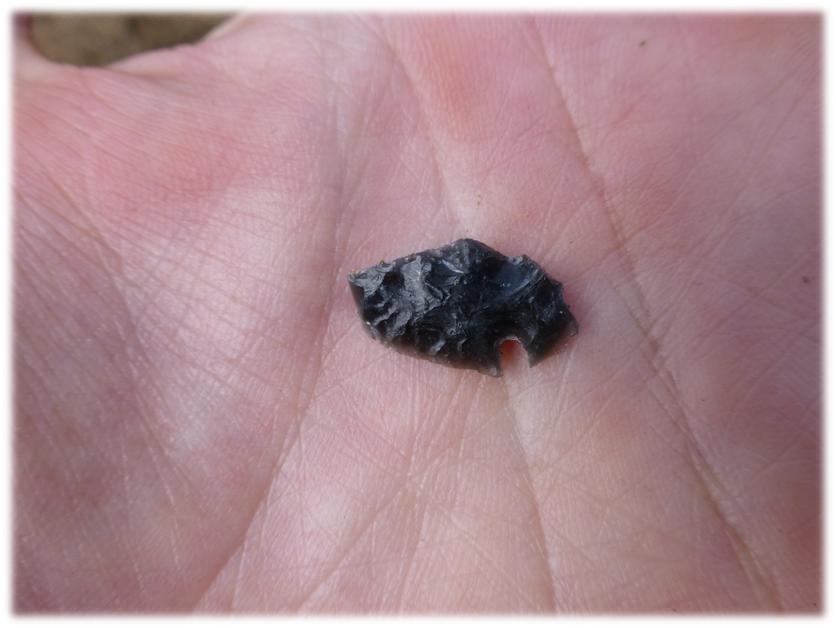
We took a little break in an area that we had heard had some arrowheads and looked around. I found a small bird arrowhead. We found quite a few obsidian flakes and arrows that didn’t quite make the grade, leaving them where we found them.
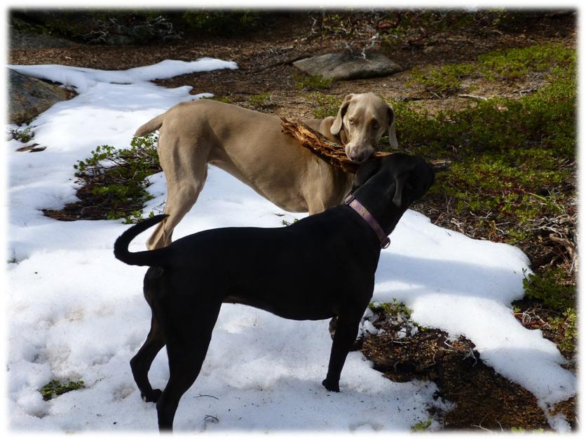
The dogs also found a treasure, an old piece of a log, which they entertained themselves with.
We kept on heading up, hitting a little more snow. (Second photo by Debra Sutherland)
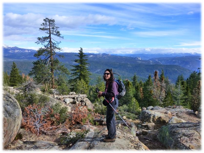
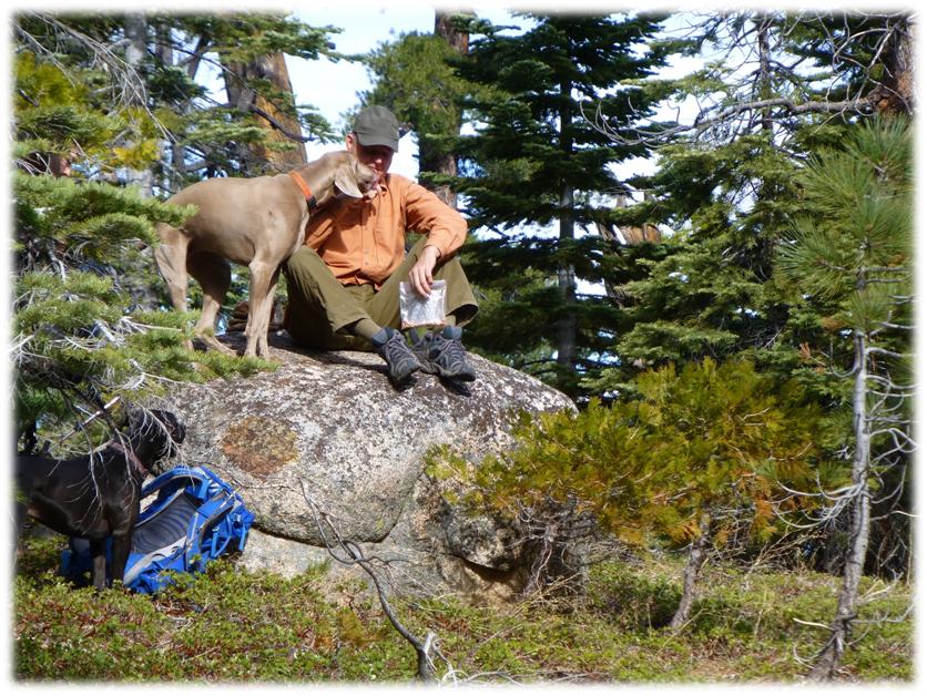
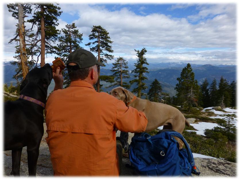
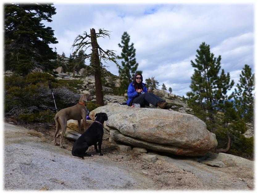
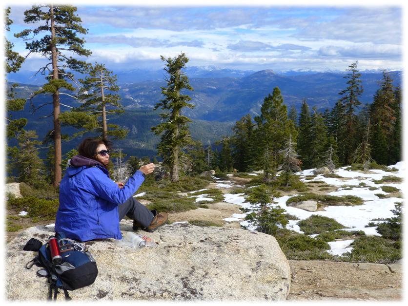
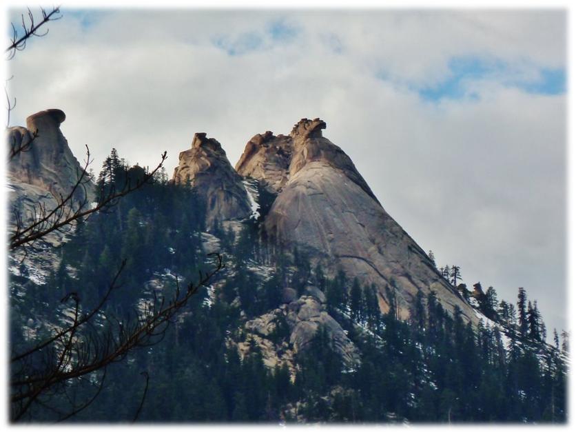
We made it to the Pass, spending some time looking at the view and trying to make out the surrounding domes and peaks. Since the wind was up, we found a sheltered spot next to some rocks for our lunch. I don’t know why I didn’t do something, but it was kind of funner to snap the pictures as I watched the dogs try to get a bite out of Steve’s sandwich.
It almost looked like they were working together, with Sally distracting, then Raven getting the bite. The dogs were better behaved while they watched Deb eat. We had a pretty darn nice view while we ate. By the way, don’t feel bad for the dogs. They had been working hard on their hike and were periodically given power bars during the day to keep their energy up.
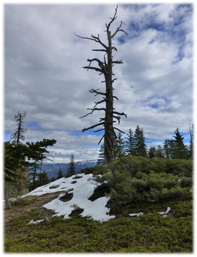
The clouds were building more and it wasn’t long before the sky above us was grey but it didn’t last long.
We started heading down, where Deb snapped some fantastic pictures of rock formations along the way and the peaks next to us. (Next 4 photos by Debra Sutherland)
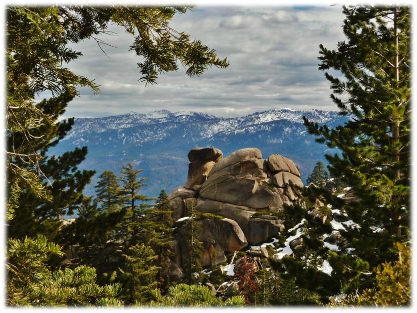
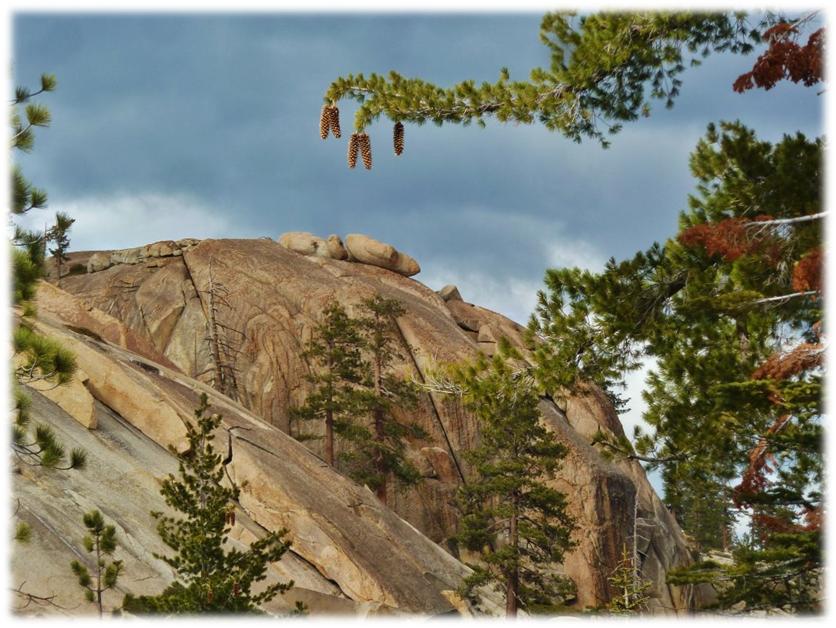
We veered a little bit off of the trail to check out a knob that we had seen on the way up.
We also had some good views of the Aspen Fire area.
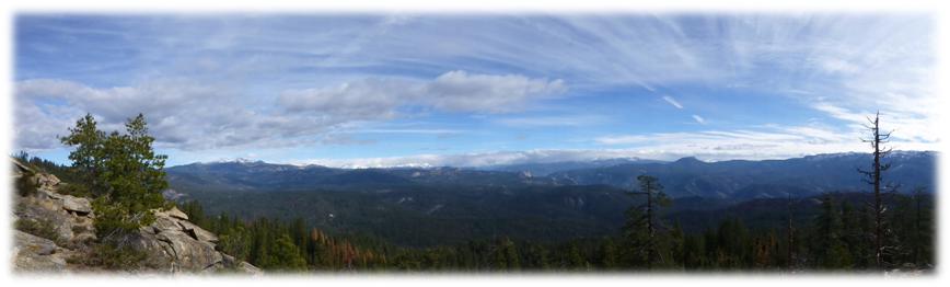
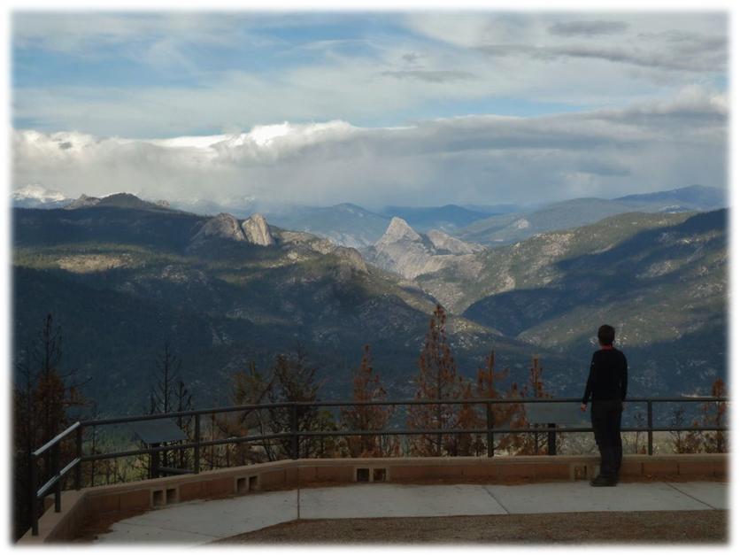
We made it back down to the car in great shape and stopped at the Mile High Vista Viewpoint on our way back down the hill. What an amazing view! (Photo by Debra Sutherland)
http://www.rockclimbing.com/routes/North_America/United_States/California/Western_Sierra/Shuteye_Ridge/
http://www.summitpost.org/grey-eagle/173193
http://inciweb.nwcg.gov/incident/4013/


Candice,
The sierra vista scenic byway assn. Needs a high quality photo from mle high to replace the sign on highway 41. Would you have one we could use?
Doug Waltner