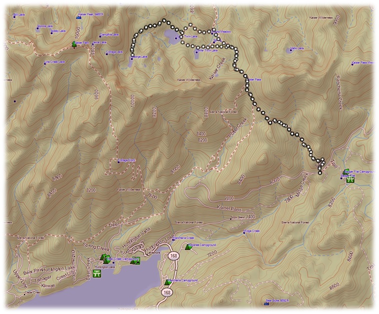
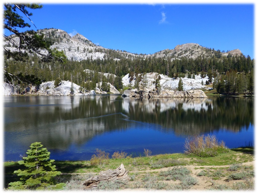
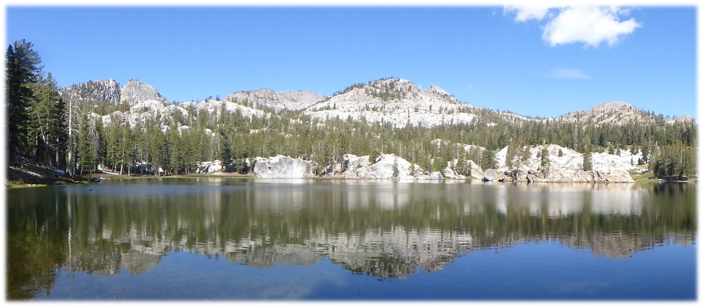
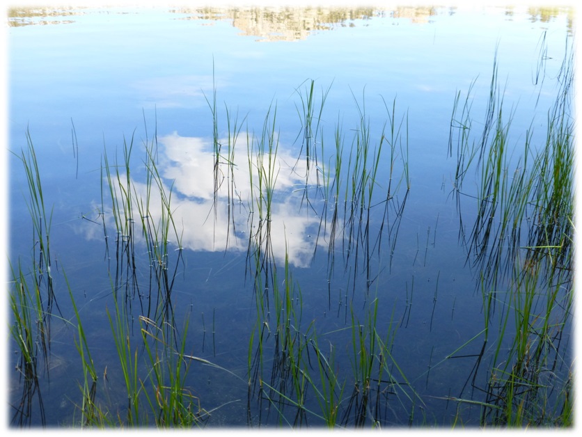
We headed through Potter Pass at 8,980′ elevation to the Twin Lakes, then on to George Lake for a nice spring hike. Beautiful lakes reflecting white puffy clouds, with wildflowers along the trail and a geology lesson from our resident geology buff made for a wonderful adventure in the Kaiser Wilderness in Sierra National Forest.
Where: Kaiser Wilderness, Sierra National Forest
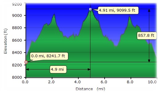
Distance: 10 Miles
Difficulty: Moderate
Elevation Range: 8,312′ – 9,102′
Date: June 4, 2015
Maps: Kaiser Peak, Mount Givens
Our original hiking plan was up along the crest in the Tioga Pass area but because of National Weather Service weather predictions of 50 percent chance of thunder, lightning and snow, we went to Plan B and it was a good call. Those predictions were right on.
It had been a couple of years since we did this hike and back then, it had been a fall hike. We also had 30 percent chance of rain, so we were very curious what the day might bring us. We headed east on Highway 168 past Huntington Lake, turning right onto Kaiser Pass Road. We continued 4.8 miles from the junction to the large trailhead parking (aka Horse Staging Area) with nice, clean restrooms on the south side of the road. They also have bear lockers at this parking lot, where we stashed our food, drink and other things that bears would like to get into.The trail started across the road.
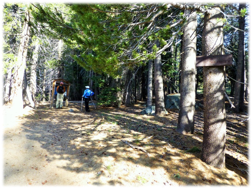
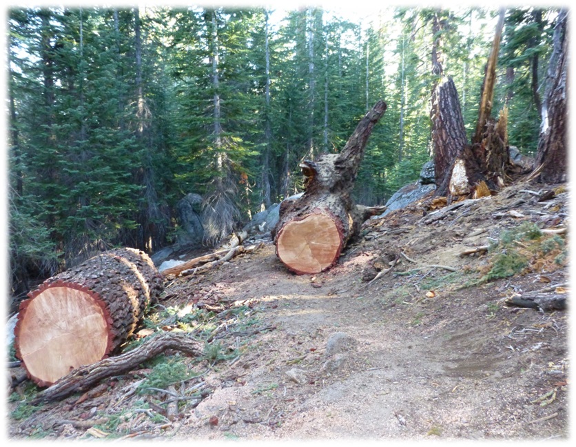
We headed up the trail on a moderate grade through a shaded forest of Jeffrey Pines, Junipers and Red Fir, while catching some nice views of Huntington Lake in spots where the forest thinned out. Trail crews had done an outstanding job of clearing the trail of recent really big down trees. Nice work Sierra National Forest and a big thank you!
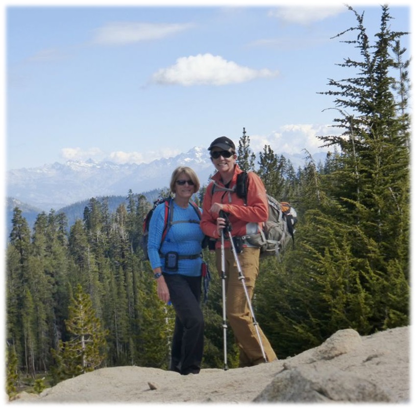
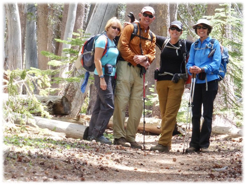
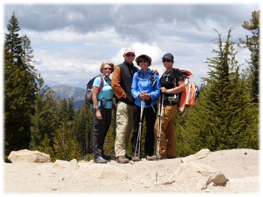
After about 2 miles, we made it to Potter Pass and the entrance to the Kaiser Wilderness where Deb Kincade took this picture of us, using her tripod.
The Kaiser Wilderness was established in 1976, is 22,700 acres and was named after Kaiser Ridge. Most of Kaiser Ridge consists of Kaiser Peak, which is 10,320′ high. Although this is a small wilderness, it is part of the almost contiguous federal Wilderness areas along the Sierra Nevada Mountain Range with the John Muir Wilderness on the east, and Ansel Adams Wilderness to the northeast.
Francis P. Farquhar’s book, “Place Names of the High Sierra” (1926) says “Kaiser or Keyser: both are used locally. The name is very old, and its rightful spelling unknown. I remember hearing the old miners speak of Kaiser Gulch (a placer district) way back in 1862, the year of the big flood; but I know nothing as to the name. (L. A. Winchell: Manuscript, 1896.) Kaiser Gulch appears on Hoffmann’s map, 1873. ”
From Potter Pass, we had some very nice views of the Sierra Crest to the east with just a few clouds starting to build. I was really wondering what those clouds would be looking like when we came through this spot later in the afternoon on our return trip.
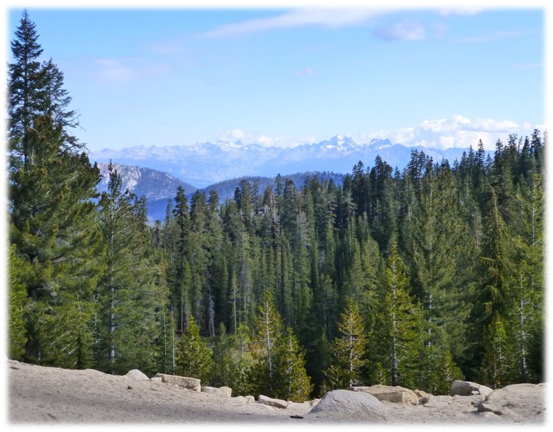
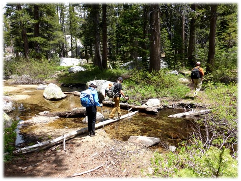
We headed down the east side of Potter Pass on the trail, crossing a couple of small creeks. (Photos by Debra Kincade)
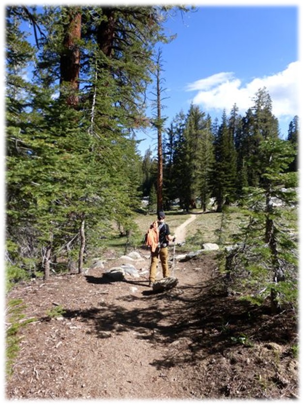
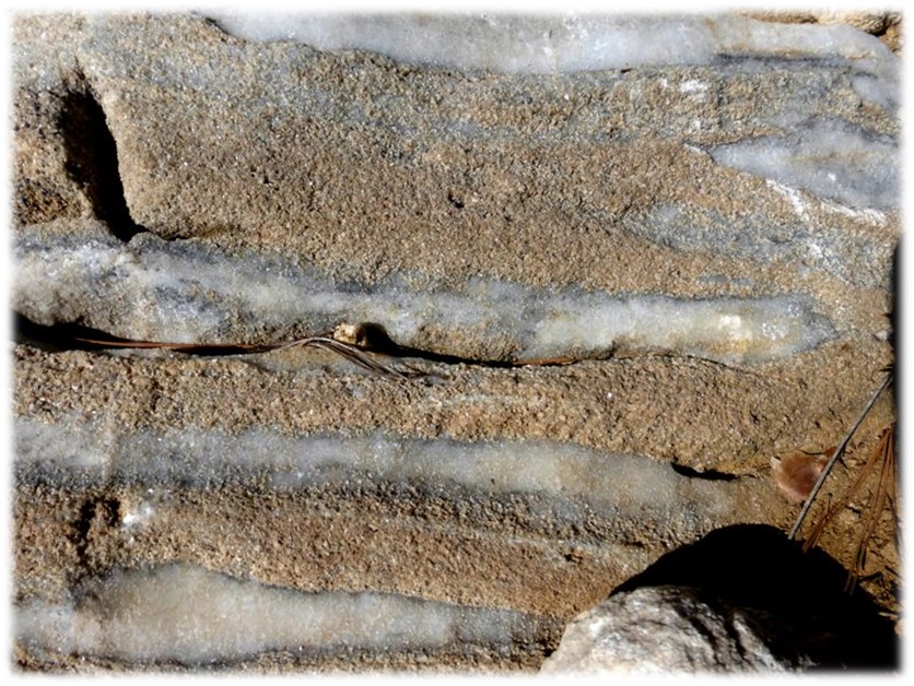
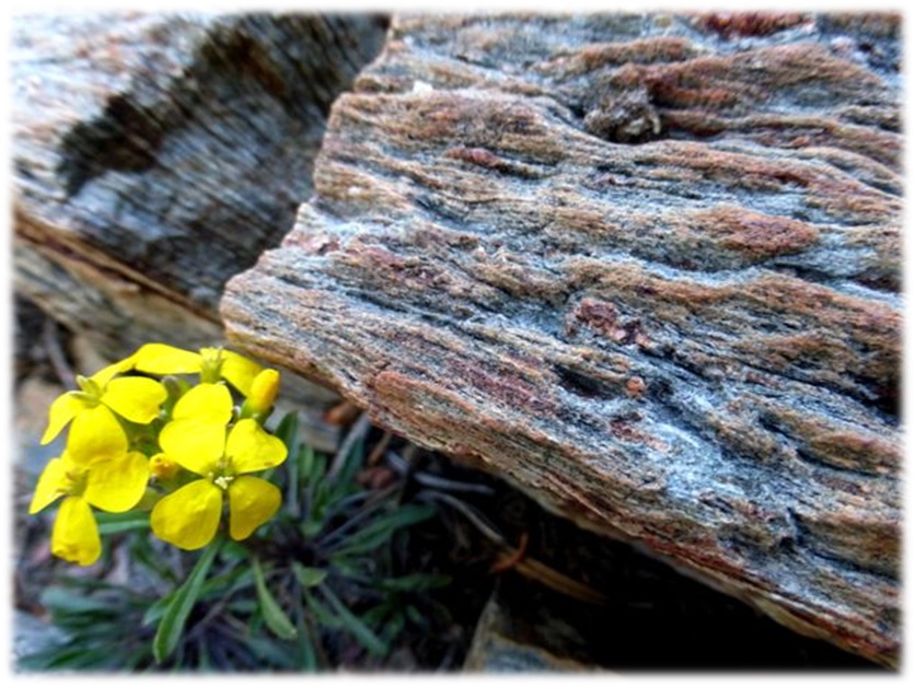
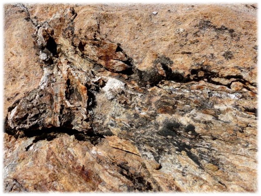
We would be walking on the trail, every once in a while Rick would be attracted like a magnet to some rock. These always became a great geology lesson. Whether it was about the different types of quartz in the area, the bedrock that was exposed in some areas, or the glacial activity that left behind evidence of its path, it was always interesting.(Picture 3-6 by Debra Kincade)
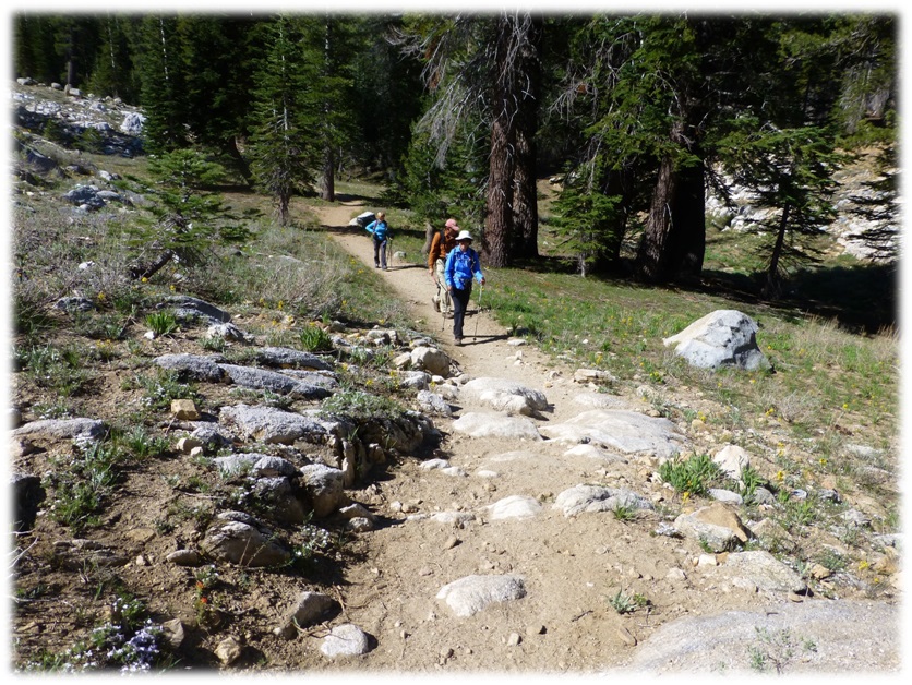
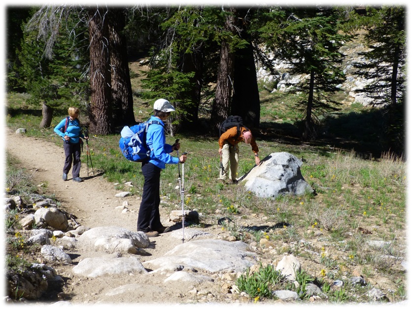
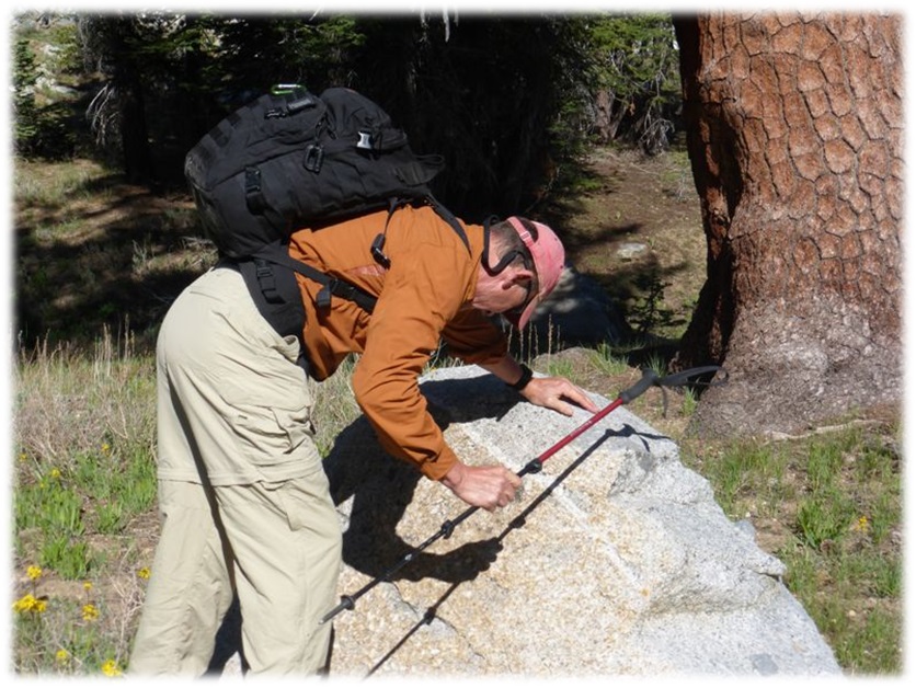
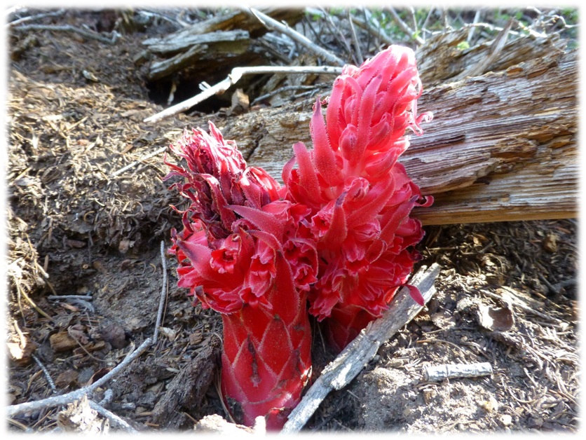
We were surprised at the number of snow plants just popping their way through the soil right next to the trail.
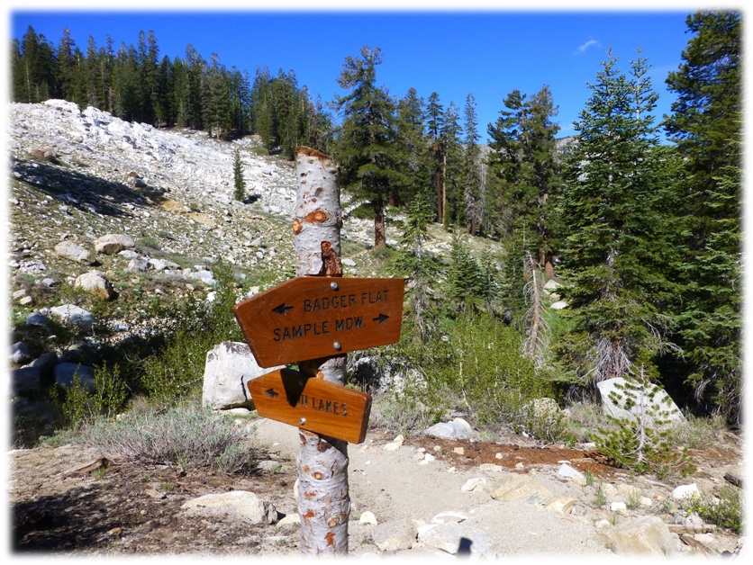
We followed the sign to Twin Lakes and soon caught a glimpse of a beautiful green meadow to our right.
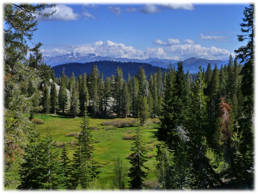
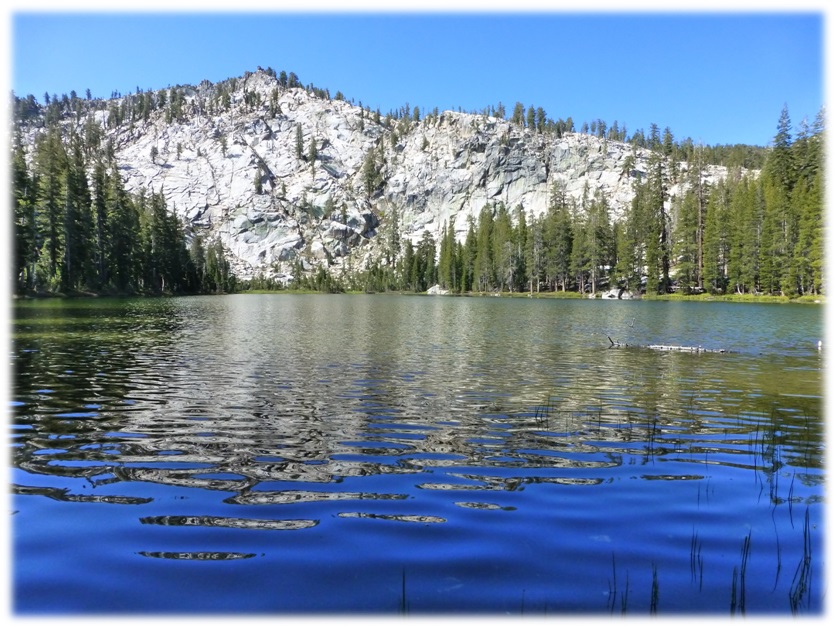
We reached Lower Twin Lake about 1.3 miles after that sign.
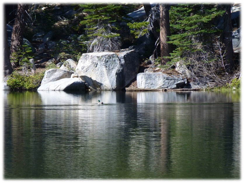
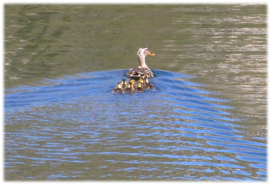
Another 1.2 miles, we reached Upper Twin Lake and spotted this mother and her babies heading for a safer place. The lake was beautiful with gorgeous reflections.
We headed on another 2.5 miles to George Lake.
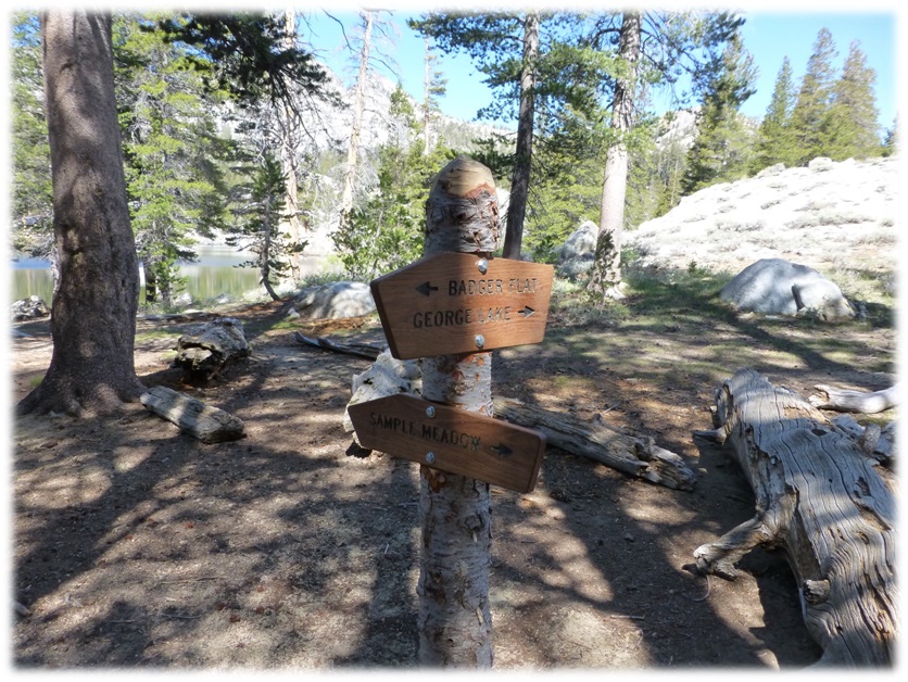
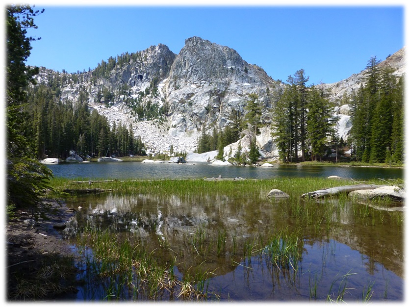
George Lake was another beautiful lake with very nice reflections but the wind came up shortly after we arrived.
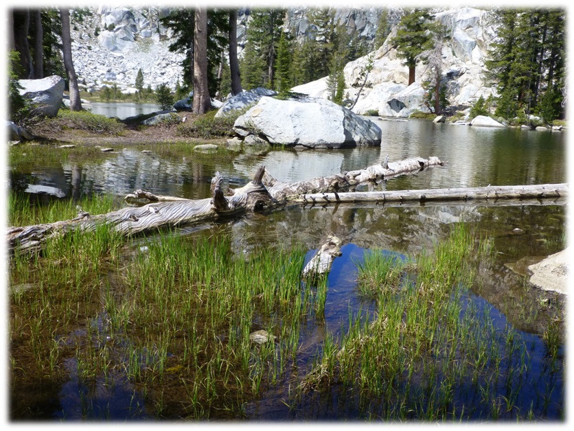
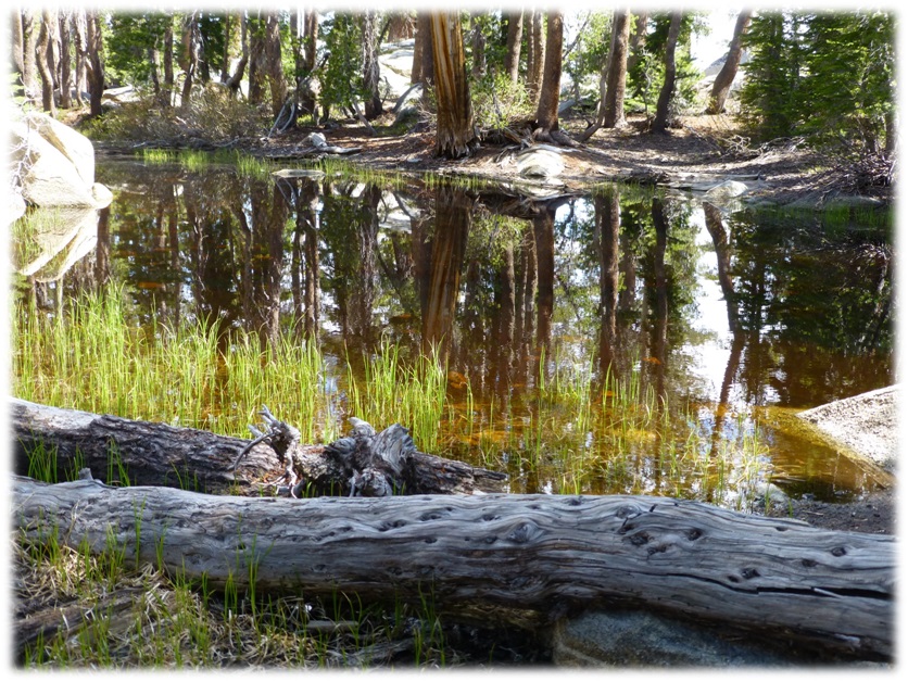
We found a good rock for our lunch spot. Great lunch spot! (Photo by Debra Kincade)
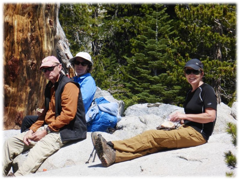
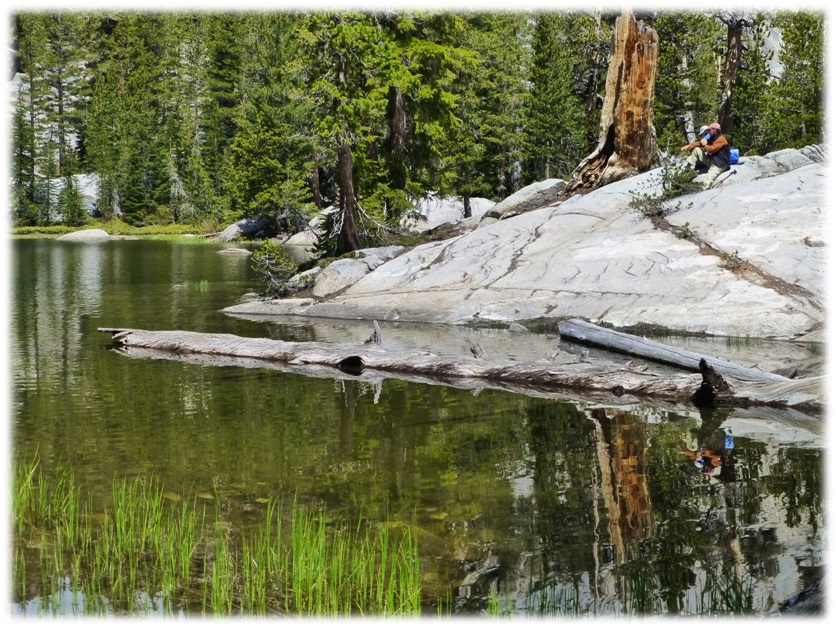
I wandered along part of the lake, taking in the different views.
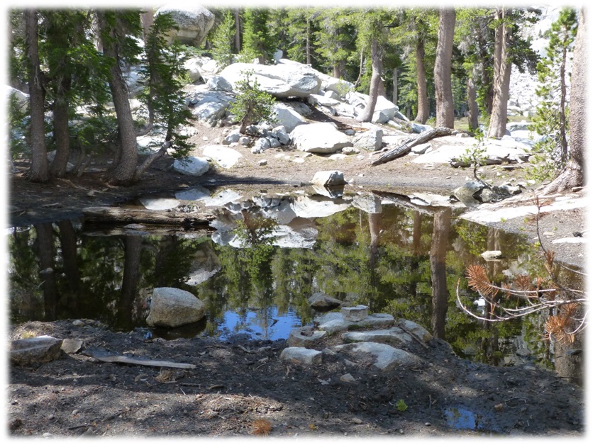
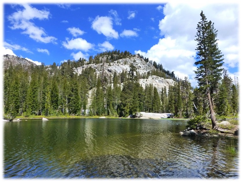
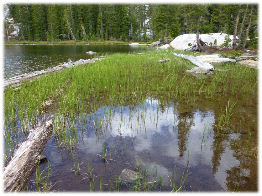
That wind came up and the temperature dropped, so we all put our jackets on. We decided it was time for us to head back. We hadn’t headed too far down the trail until those jackets were way too hot, so we had to shed some layers. (Picture by Debra Kincade)
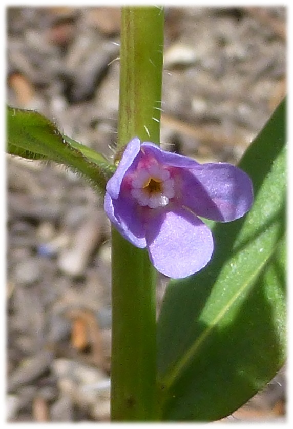
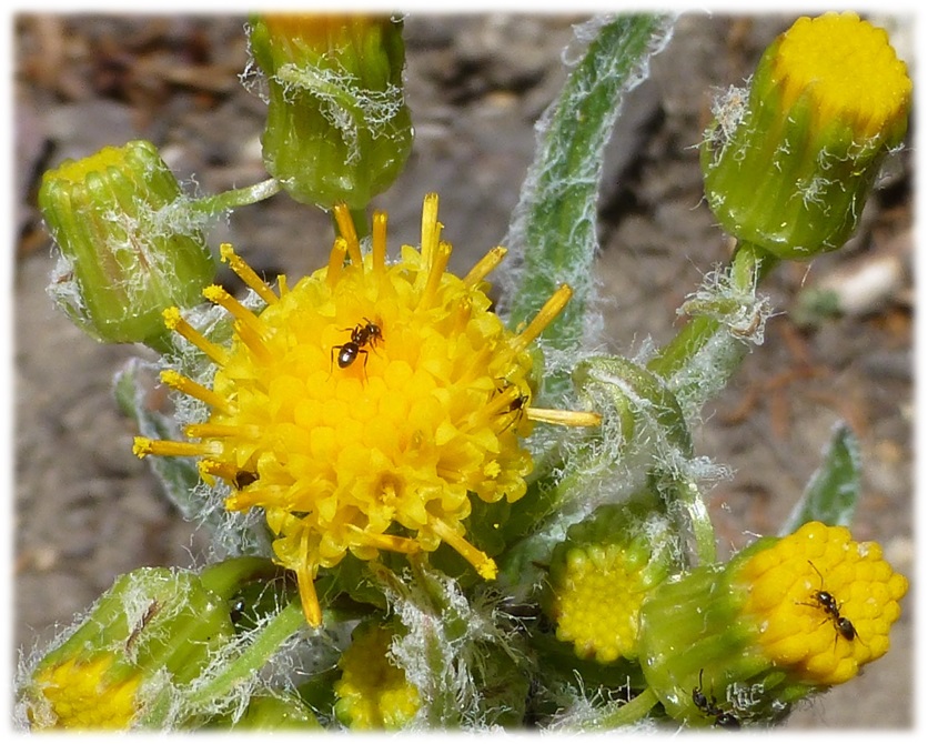
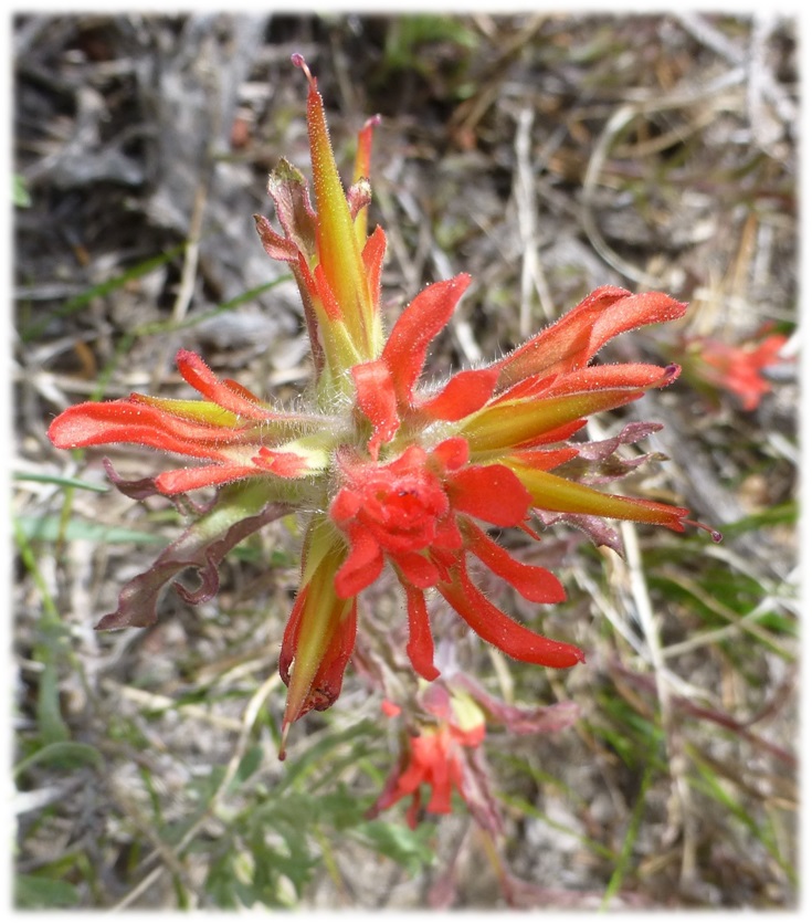
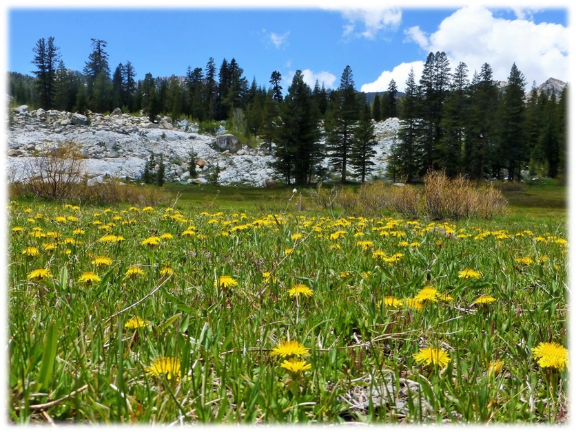
There were quite a few wildflowers blooming along the trail and the afternoon sun had them putting on a nice show for us.
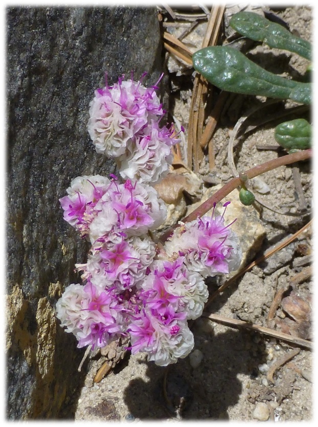
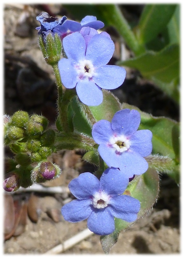
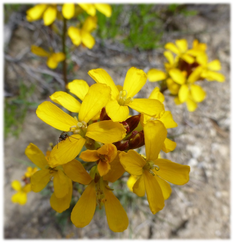
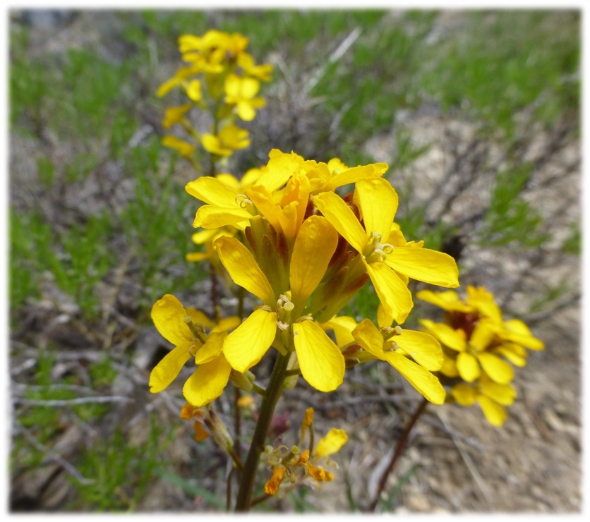
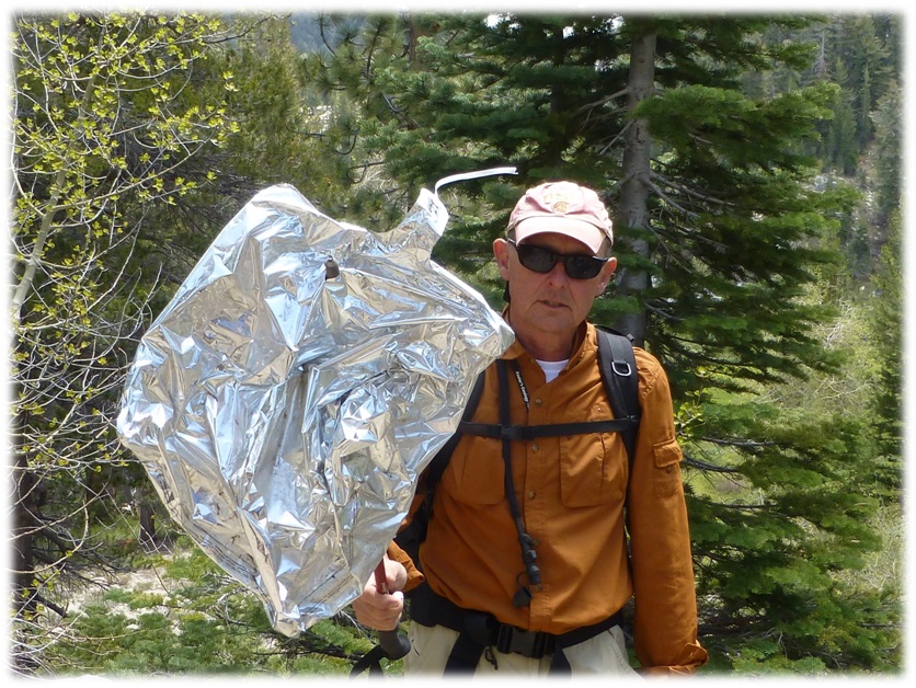
Did someone lose an old Mylar balloon? Rick found one along side the trail.
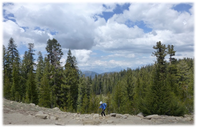
We headed up that last bigger climb to Potter Pass, thankful for the breeze that was cooling us off while making that climb. We were all feeling pretty happy when that part of the trail was done. Although the amount of clouds had built since the morning, we lucked out and didn’t have any thunder or rain. It wasn’t so lucky for those that hiked where our original Plan A for the day was in the Tioga Pass area. They had heavy hail, along with thunder and lightning.
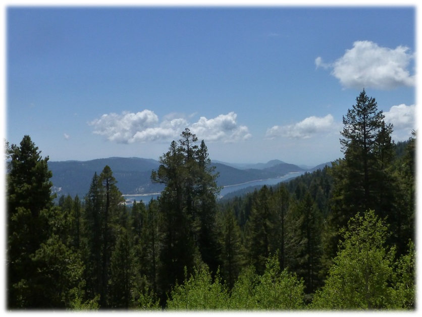
Heading down the trail, we had some nice glimpses of Huntington Lake.
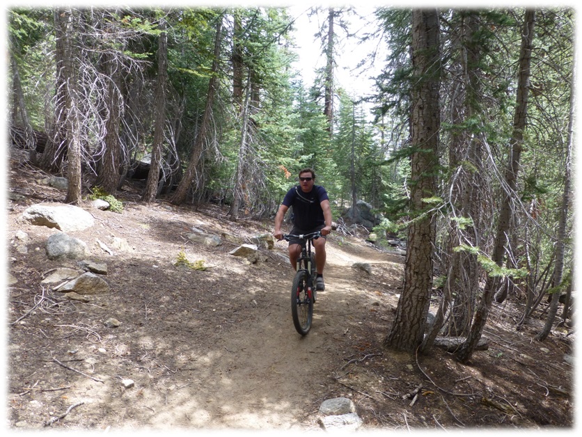
The vast majority of the forest’s trails are part of designated wilderness areas where cycling is prohibited. It didn’t stop this mountain biker heading up the trail as we were heading back down.
This hike is a very nice backpack trip also. If you decide to do that, you will need to obtain a wilderness permit. 60% of the permit spaces are available for reservation ahead of time, while 40% are kept for first-come-first-served visitors 24 hours prior to their intended trip. There is a $5.00 non-refundable reservation fee for each person for all trailheads and reservations can be made six months prior to your trip.To reserve obtain a Wilderness Permit contact:
High Sierra Ranger District
P.O. Box 559
Prather, CA 93651
(559) 855-5360
 Sources:
Wikipedia
Place Names of the High Sierra (1926) by Francis P. Farquhar
http://www.yosemite.ca.us/library/place_names_of_the_high_sierra/
http://www.sierrawild.gov/wilderness/kaiser
http://www.wilderness.net/index.cfm?fuse=NWPS&sec=wildView&WID=286
http://www.fs.usda.gov/activity/sierra/recreation/bicycling
Prior Blogs on this Area:

