
Our hike took us off the trail, up through boulder-strewn moraines where we were almost blown over by wind gusts, but it was all so worth it when we reached the beautiful high lakes fed by the Dana Glacier. Brightly colored mountains and rocks framed the views for us and this isn’t the first time a curious critter welcomed us to these high lakes! I wondered if the critters were in cahoots. Be sure and check out the Doarama link below Maps at the end to experience a 3D version of this hike.
Where: Ansel Adams Wilderness, Inyo National Forest
Distance: 5.37 Miles
Difficulty: Moderate to Strenuous
Elevation Range: 9,653′ – 11,147′
Date: August 27, 2018
Maps: Falls Ridge and June Lake Topogs
Dog Hike: No
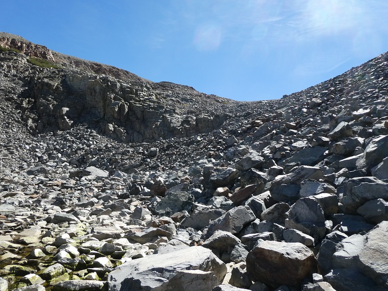
This is hike where you really need to pay attention to where you step. Much of the hike is off trail and through rocky, boulder strewn glacial remains. There are wobbly rocks and boulders that you need to use your body strength to lift you up or around. About half of the mileage is through these rockpiles, requiring balance and strength. It is not an easy hike by any stretch of the imagination but the sites are unlike anything else around!
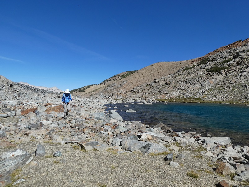
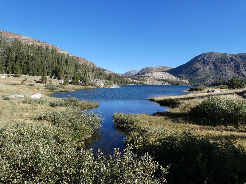 We parked our car at the parking area at Tioga Lake, just east of the eastern entrance to Yosemite National Park, then headed up on the Glacier Canyon Trail, also known as the Dana Lakes Trail, entering the Ansel Adams Wilderness. The trail crossed the inlet to Tioga Lake, which looked so peaceful.
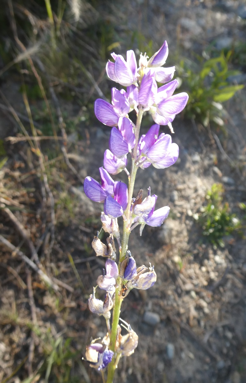
We could feel a little bit of fall in the air and as we hiked up the Glacial Canyon Trail that crosses then follows up along the Dana Fork. In the spring, this creek is loaded with wildflowers but they had almost all closed shop for the season. We did see a few “late bloomers.”

Photo by Gail Gilbert
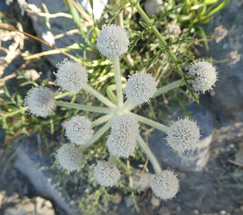
Ranger buttons

Aster
The wild onions had gone to seed and the corn lilies were displaying their fall colors.
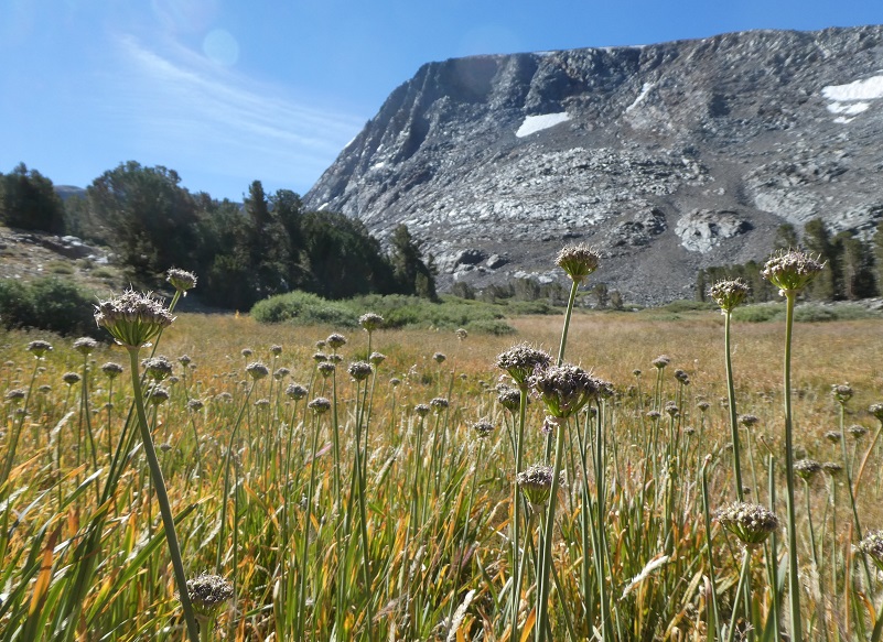
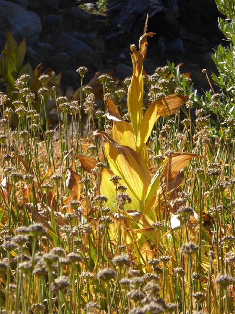
Photo by Gail Gilbert
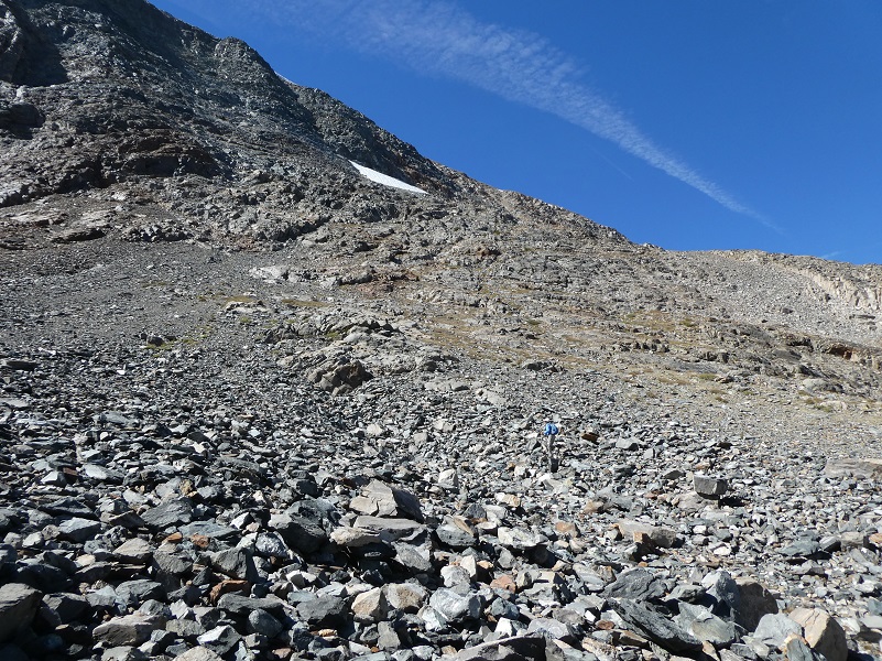
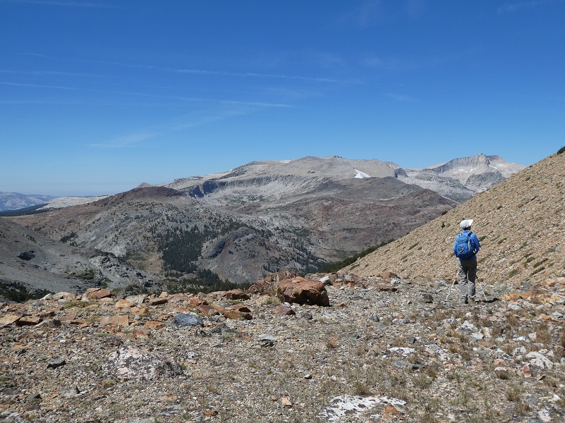
We left the trail and started to head up the Glacial Canyon. I like to stay high above the willow patches and avoid the rocky cliff areas. We then made our way to the base of the first large moraine and started to head up through the boulders and loose rocks.
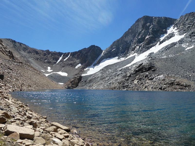
We reached the first of the Dana Lakes that we visited. This lower lake was at the 10,806′ elevation.
We walked along the lake.
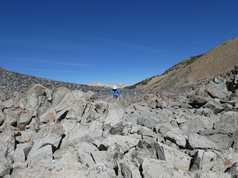
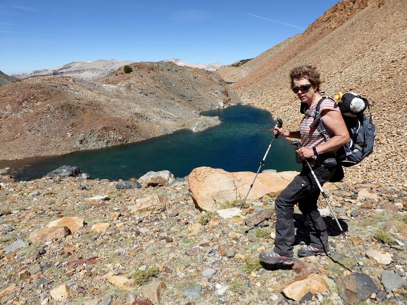
We couldn’t help but look at the next phase of our adventure. The next moraine was the toughest with the biggest boulders and greater distance.
The climb up wasn’t as bad when I looked at the amazing views it gave me.
As we topped over to the second lake, we had an official greeter. This little guy just sat and watched us, not moving for quite a while. I couldn’t help but wonder what it was thinking. Probably, “golly, wasn’t expecting company today, can’t believe you guys climbed all the way up here to see me, you aren’t birds-what are you?” We had a similar situation where a Marmot greeted us a few years ago and sat to pose for us as we walked by.

Photo by Gail Gilbert
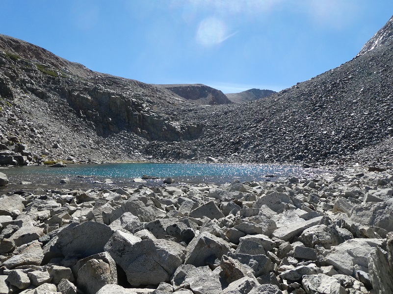
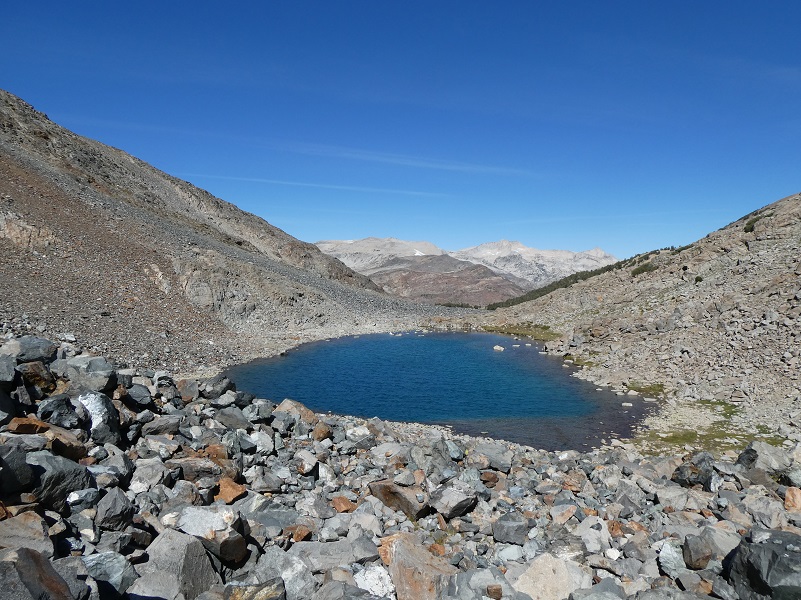
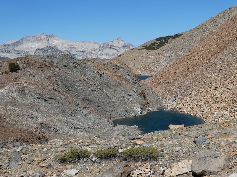
The second lake (11,047′ elevation) was a gorgeous color of turquoise when we checked it out from above.
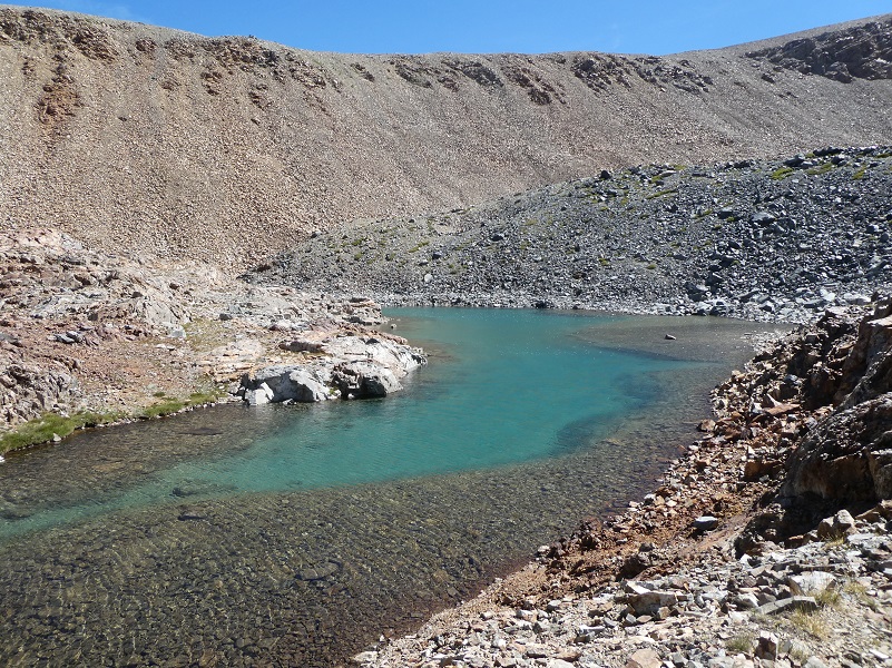
Looking back at the second lake, we caught a glimpse of our fourth lake to the right.
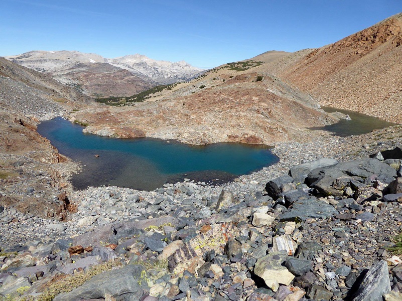
Photo by Gail Gilbert
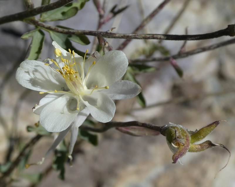
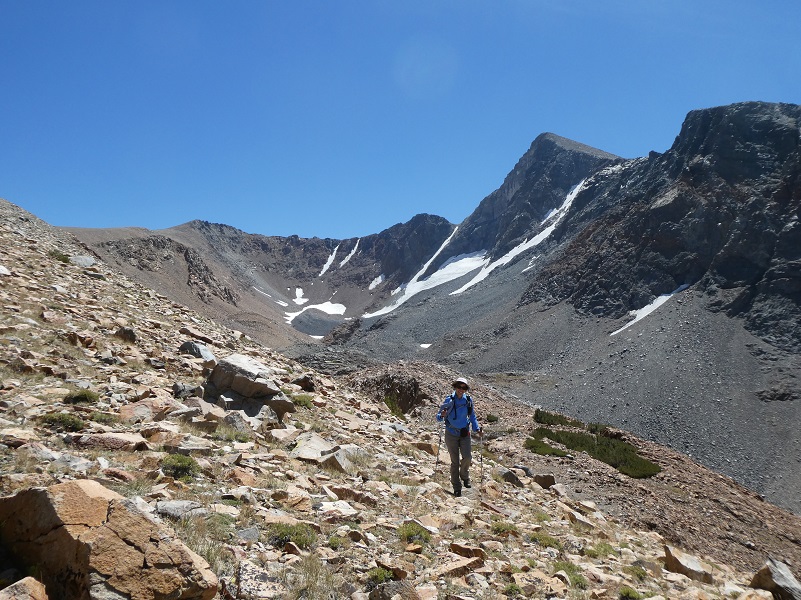
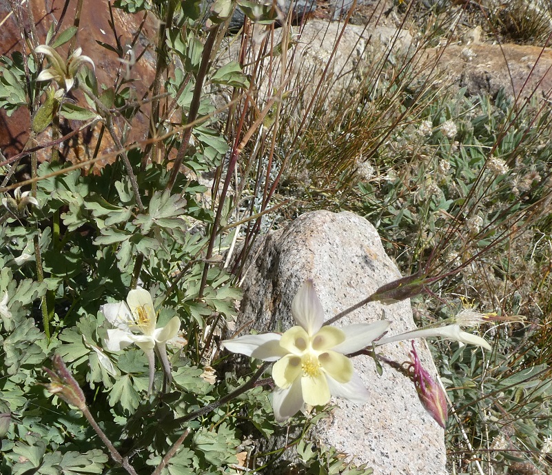
The third moraine wasn’t quite as tough and when I topped over it, I could see the remains of columbine, pretty much all dried up. But I looked carefully at all of them and found this late bloomer.
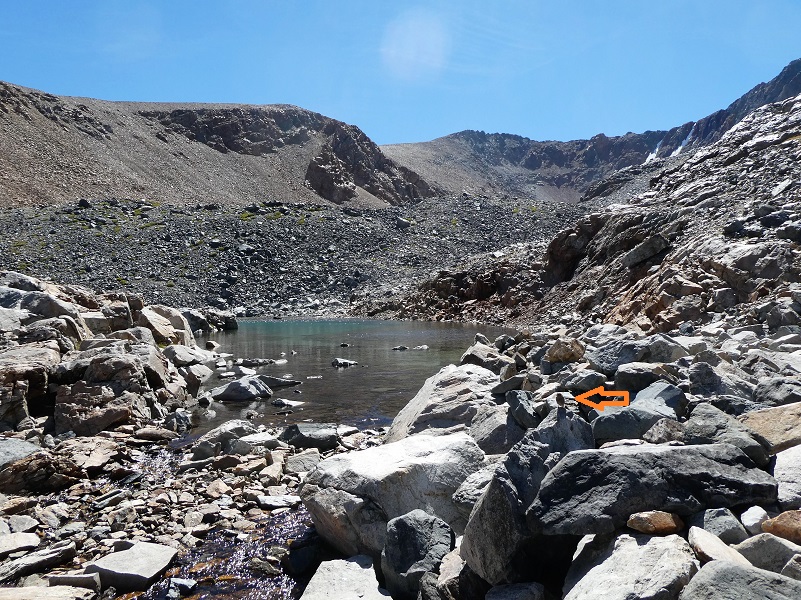
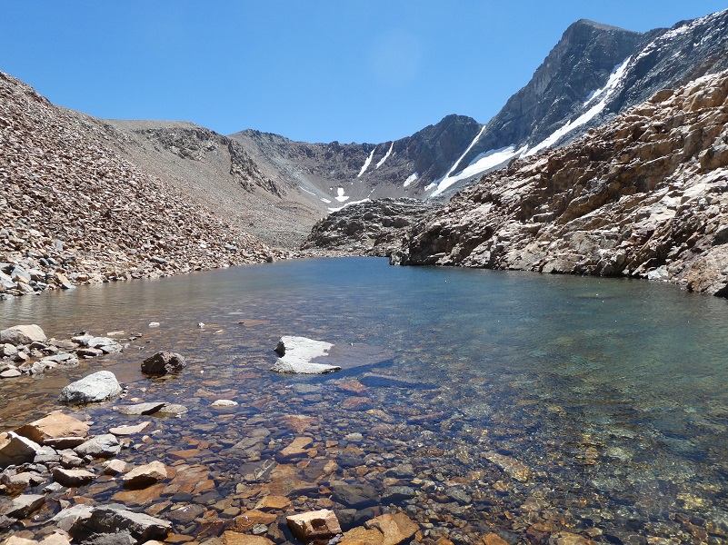
We walked along the third and highest lake (11,154′ elevation) to get to a great view spot for our lunch.

And this was our lunch spot, with the perfect view of Mt. Dana (13,061′ elevation) and the Dana Glacier. It is the second highest mountain in Yosemite (after Mount Lyell) and is named after James Dwight Dana, who was a professor of geology at Yale College. If you would like to learn more about him, check out the links to my prior blogs where I shared much more on this great man.
The Dana Glacier has continued to shrink over the years and there is a famous picture taken in 1883 by I. C. Russell that shows how much it has shrunk.
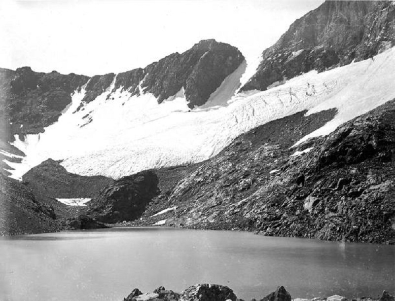
Dana Glacier 1883 by I.C. Russell
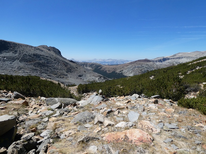
It was time that we moved on and we headed for our next lake.
Let’s talk about wind. The Tioga Pass area is right on the border of 3 National Weather Service office’s forecasting area so I like to see what all 3 are saying when I hike the area. I have locations bookmarked in each of these forecasting offices. Saddlebag Lake is forecast by Reno, Mammoth Lakes is forecast by Las Vegas and the actual Tioga Pass is forecast by Hanford. Here is a link to the NWS 7 Day Forecast Oakhurst website in case you aren’t familiar with it and I like to go to the Forecast Discussion below the weather. Some of the forecasters will explain the reasoning behind why they are favoring one model over the other, some will speculate a little more and some are down right funny in their discussion. Another way that I like to stay up on the trending weather is to joining the Facebook Chats that the NWS Hanford office holds every once in a while. Friend them and join them to learn more about them. If you are a weather geek like me, you will understand. If you are not, the discussion may be very confusing with acronyms that sound like they are from outer space, but if you stick with you will start to get it. The discussion for our hike was pretty consistent among the three NWS offices that it was going to be breezy and that is defined by the NWS as 15-25 mph. But I am always open to variations around the forecast and you just really never know until you are there.
Doing My Best to Stay on 2 Feet in a Strong Wind Gust (photo by Gail Gilbert)
After almost being blown over by a couple of gusts while I was on the ridges, Gail and I started talking and wondering how strong that gust really was. I remembered a scale that gave estimates and thought I would look that back up when I got home. The Beaufort Wind Scale is named after Sir Francis Beaufort, an admiral in the British Navy. He developed the scale in 1805 in order to estimate wind speed by noting how sails move in the wind. It turned out to be a great help and was later adapted for use on land.
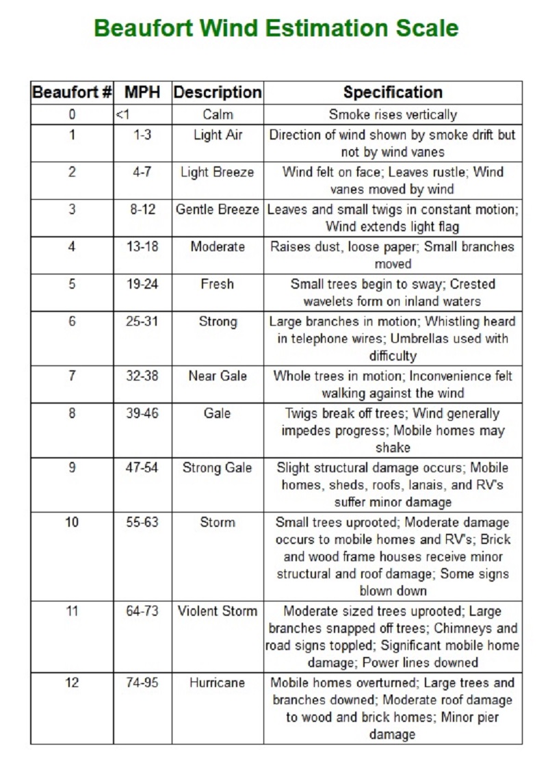
Beaufort Wind Estimation Scale
Well, that wasn’t really much help because we were above treeline, mobile homes, RVs and didn’t bring our umbrellas. So we guessed that the strongest couple of gusts were about 30 mph.
We headed down and alongside the fourth lake (11,049′ elevation).
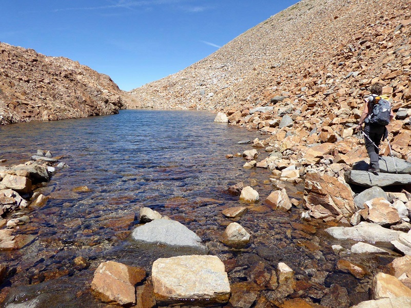
Photo by Gail Gilbert
Then I took a look back where we had traveled since lunch and Mt. Dana.
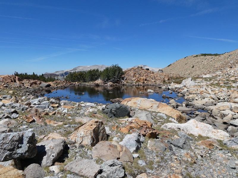
Our fifth and last lake was the smallest one (11,069′ elevation).
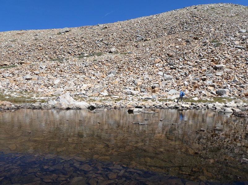
Gail and I walked around opposite sides of the last lake.
When we met up at the north side, it was time for us to go up. We like to head up this hill to Dana Plateau. It is a short scramble, saving us to go back through those boulders but it is a bit scary so I try to not look down.
We made it and I was really happy that a huge wind gust didn’t hit me as I climbed up this.
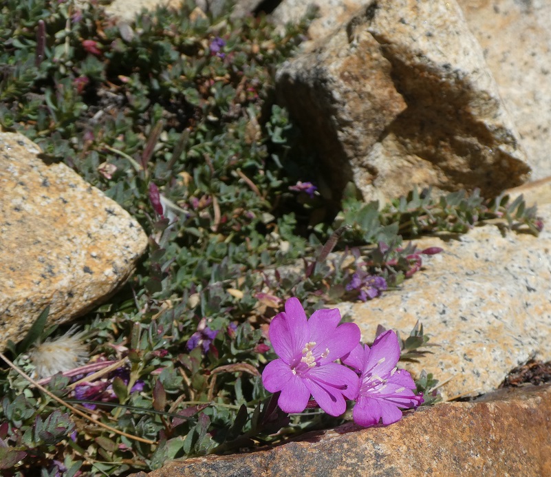
We skirted the lower portion of Dana Plateau and I was surprised to see a little bit of flower power hanging on at 11,120′ elevation.

We reached the trail down the wash that leads to Dana Plateau and followed it down.
And we found a few flowers along the way.
The trail led us back to Tioga Lake and our car. What a magnificent day we had on this hike. We had perfect blue sky, found some flowers along the way and can you believe that we saw nobody all day, on or off the trail, until we reached civilization at Tioga Lake?
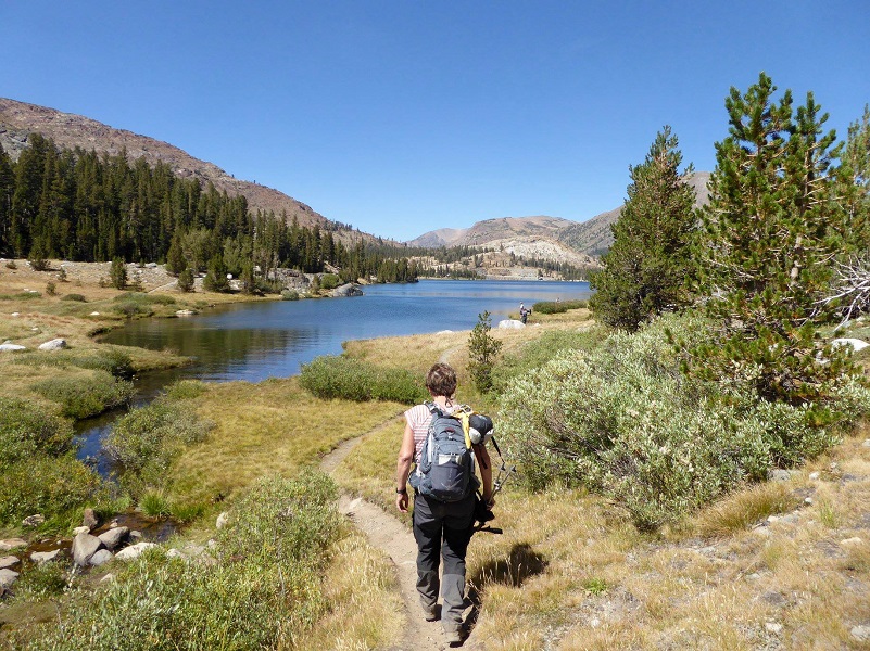
Photo by Gail Gilbert
Dog Hike? No
There are no rules prohibiting dogs on any part of this hike and the lower portion while we were on the trail along the creek could be a nice dog hike. But headed up through the moraine where boulders are as big as houses, many that are the size of me, loose rocks that can shift unexpectedly and will, along with straight dropoffs doesn’t make this area a wise place for dogs.
Maps, Profile and Doarama:
Tioga Lake to Dana Lakes Hike Doarama
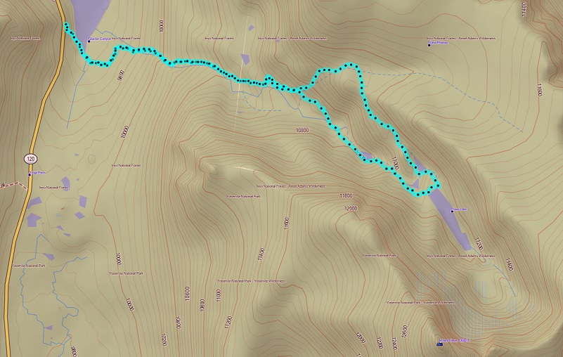
Tioga Lake to Dana Lakes Topographic Map
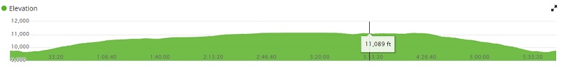
Tioga Lake to Dana Lakes Profile
Sources:
Beaufort Wind Estimation Scale
Prior Blogs in the Area:
Hiking up to Dana Lakes Hiking up to Dana Lakes July 22, 2016
Hiking to Dana Lakes with Cloud Reflections and a Closer Look at Dana Glacier July 21 2014
Hiking Up To The Dana Lakes July 8, 2014
Tioga Lake to Upper Dana Lakes and Dana Glacier Hike October 21, 2013

