It has been a couple of years since I hiked to Stevenson Falls and am revisiting this hike from 2016 because this is the perfect time of the year to go . . . plus I didn’t have another blog ready for this Sunday. I have updated it a bit from the original blog and reformatted some of the pictures. Hope you enjoy this rerun.
Hiking along the San Joaquin River Gorge to this awesome 500 foot cascading waterfall is always full of beautiful views and we had a few surprises along the way, including the first poppies of the year.
Where: Sierra National Forest
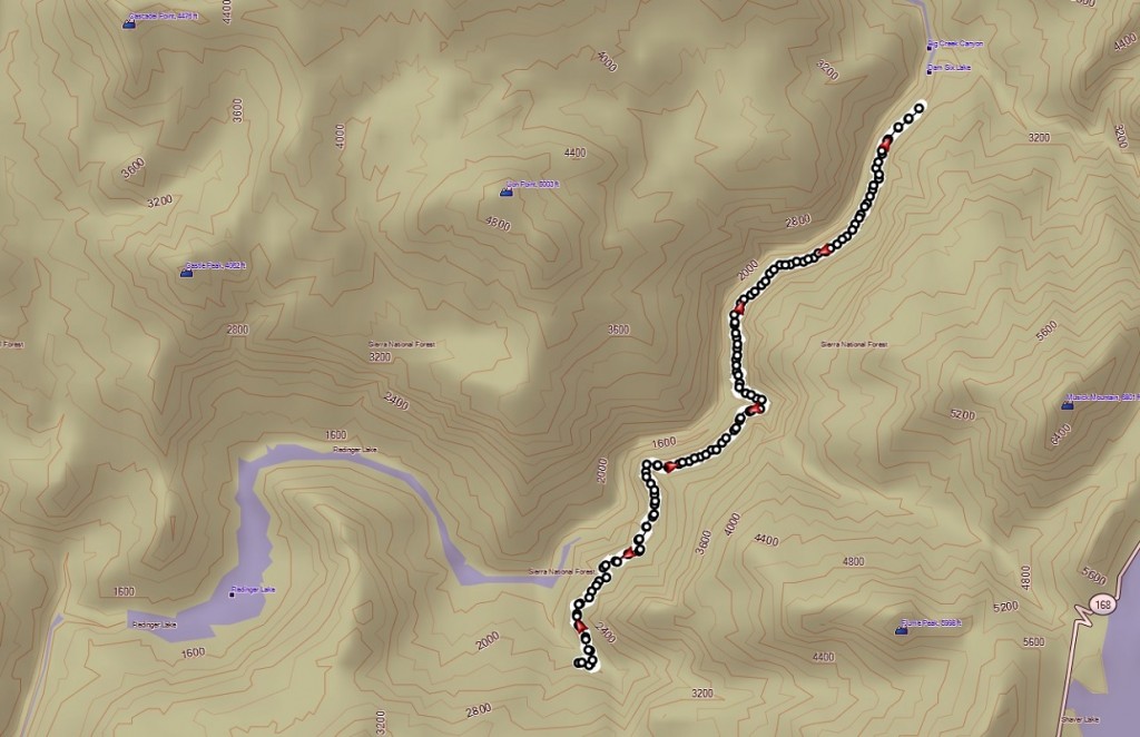
Distance: About 14 Miles (About 6 miles rt to the falls)
Difficulty: Moderate
Elevation Range: 1,935′ to 2,387′
Date: February 3, 2016
Maps: Auberry Topographic Quad, Sierra National Forest
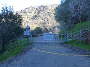 We left from North Fork, drove down Road 225 and followed the road as it traveled above Redinger Lake. Crossing the bridge that goes over Redinger Lake, we wound our way a couple of miles past the old Chawanakee School to where the gate crosses the road. We parked in a small turnout nearby, making sure we weren’t blocking any traffic.
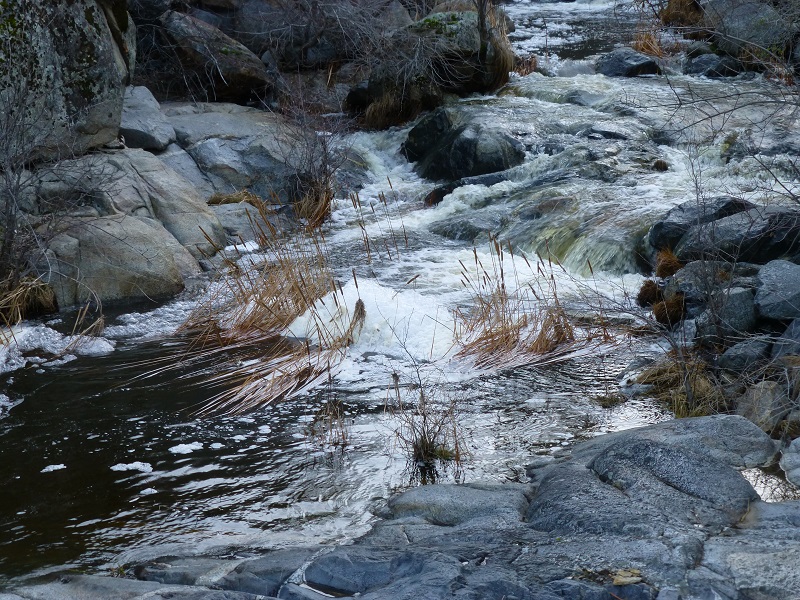
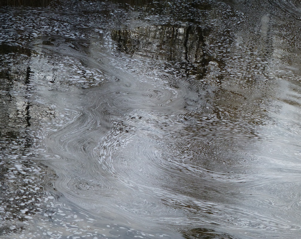
After walking around the gate, we followed the road known as “The Million Dollar Road” that was built for the Big Creek Hydroelectric Project. Crossing the steel grid bridge over Mill Creek, we could see and hear the water was flowing strong. In the calmer pools, swirling patterns caught my eye.
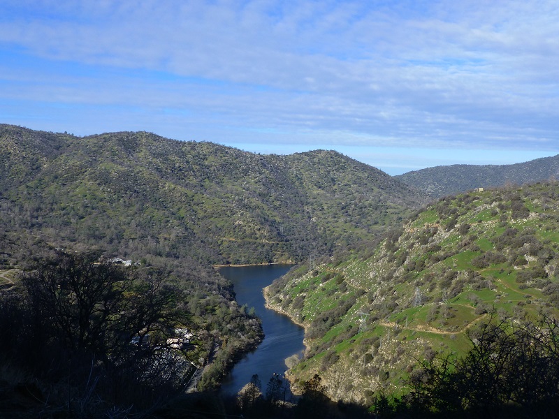
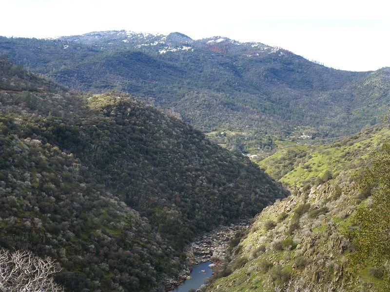
We followed the road, slowly gaining elevation, but we couldn’t help but look back every so often toward Redinger Lake and down the San Joaquin River drainage.
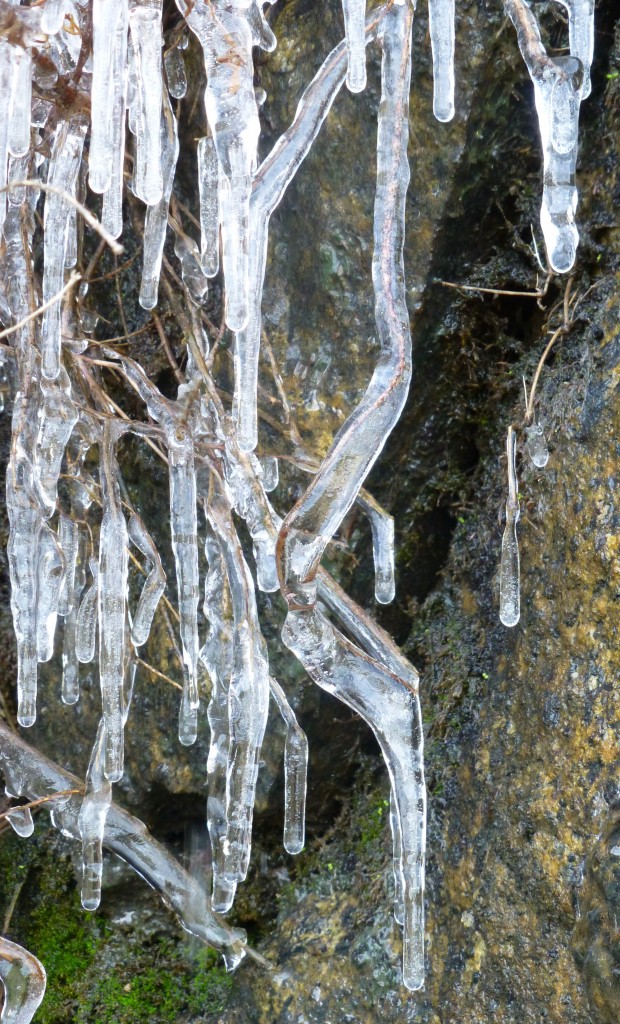
The recent rains and snow melt created many small waterfalls along the road, so I made a short video of one of these that you can view here. I didn’t mention that is was a wee bit chilly when we started out, about 36 degrees, and icicles clung to the rocks in some areas.
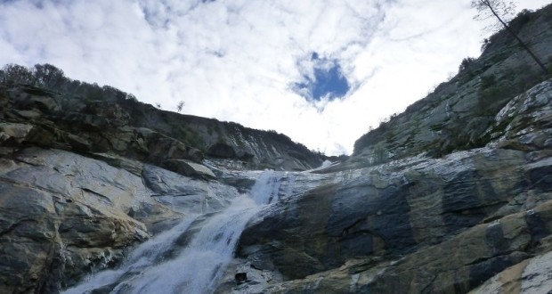
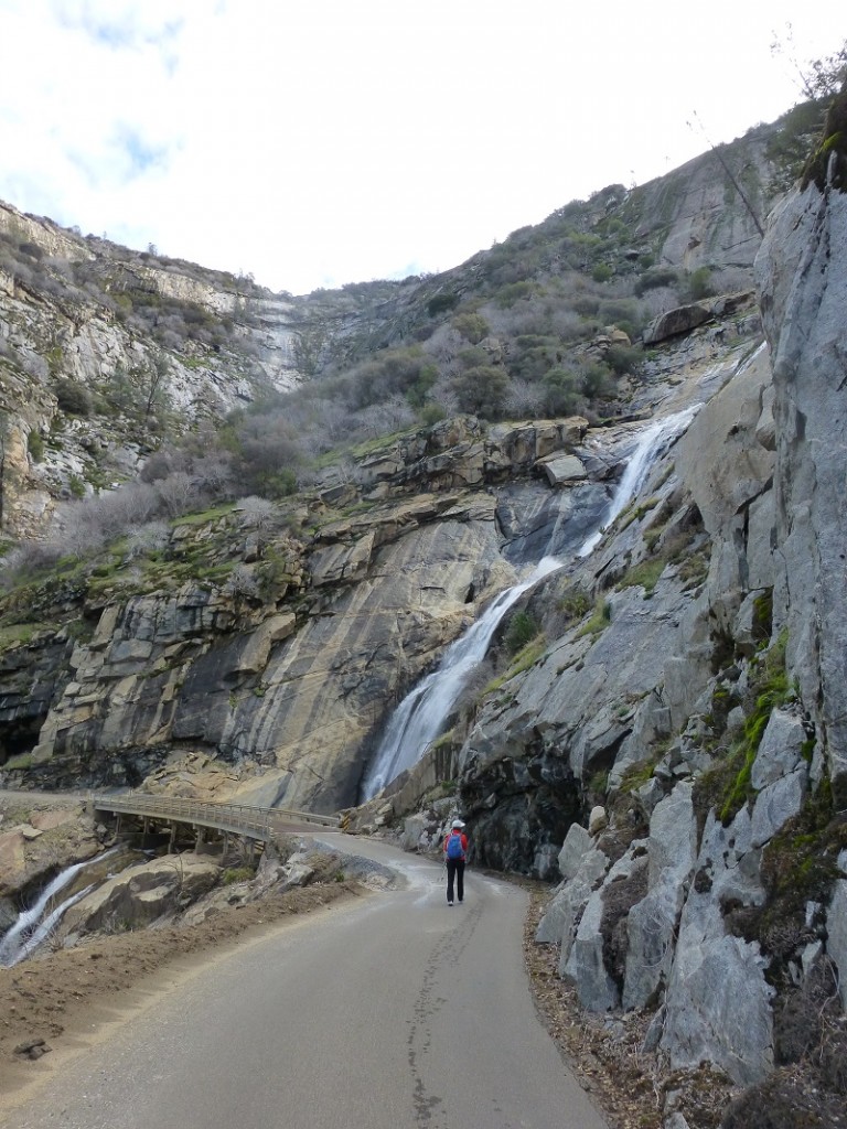
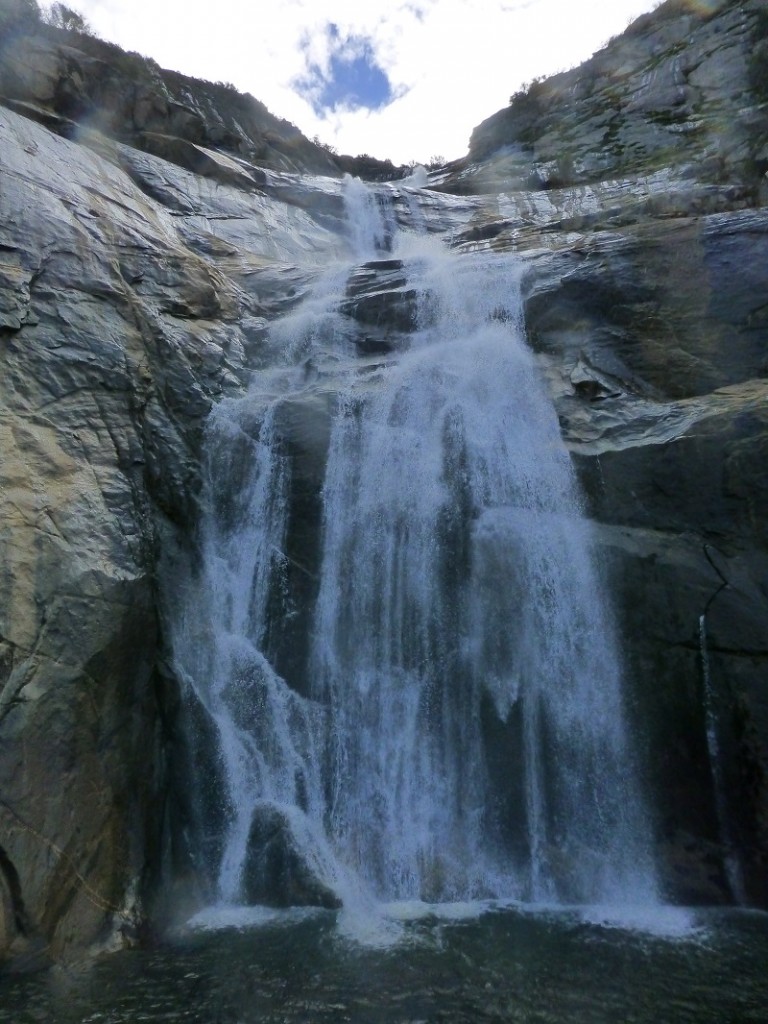
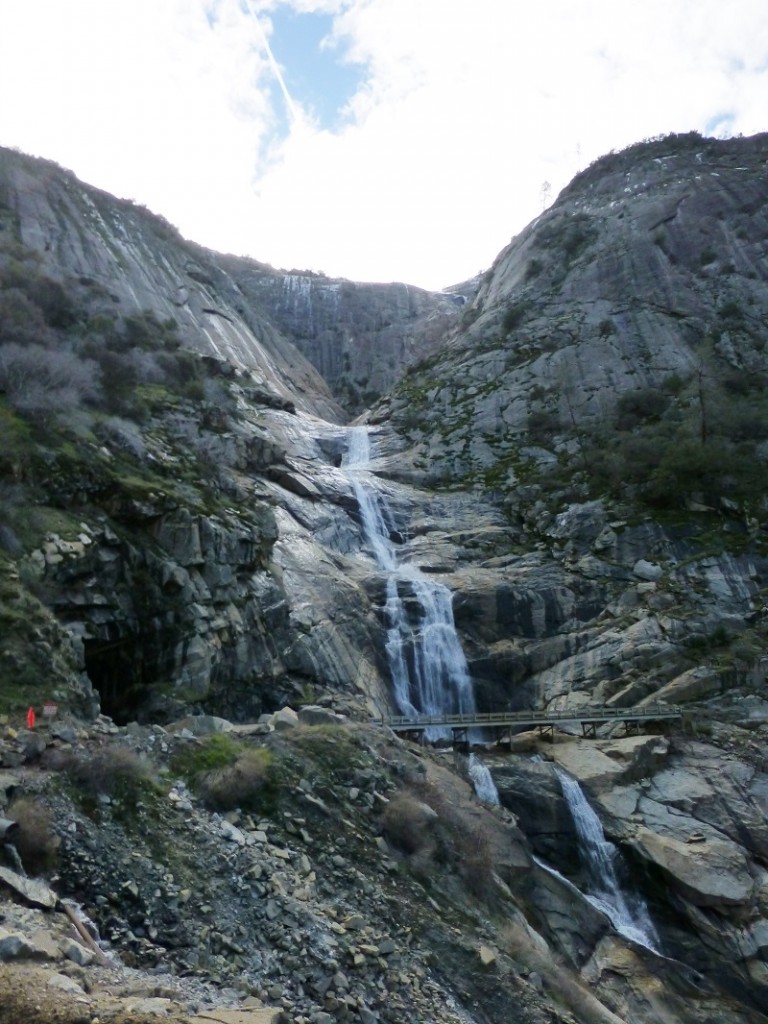
As we came around a corner, we caught our first glimpse of Stevenson Falls, also called Stevenson Creek Falls. Stevenson Creek drains out of Shaver Lake, about 5 miles upstream, and is the water source. The Falls are about 300 feet above the road and another 200 feet below the road. Sometimes the flow is so strong that that it flows on the bridge, resulting in this bridge being impassable, but not today.
Stevenson Creek is incorporated into a hydroelectric project at Shaver Lake. Its flow is regulated, so it is not a waterfall that you can count on heavy flows after a rain. The falls hurtle around 1,200 feet in four primary leaps of approximately 380, 260, 250 and 180 feet respectively, with multiple smaller slides and cascades in between each drop.
When the Big Creek Hydroelectric Project was built, its primary purpose was to provide electrical power for the city of Los Angeles. California engineer John S. Eastwood was the principal designer of the system, which was initially funded and built by Henry E. Huntington’s Pacific Light and Power Company (PL&P).
Construction of the system’s facilities started in 1911, and the first power was transmitted to Los Angeles in 1913. After Southern California Edison (SCE) acquired PL&P in 1917, the system was gradually expanded to its present size, with the last powerhouse coming on line in 1987. Today, these facilities include 27 dams, miles of underground tunnels, and 24 generating units in nine powerhouses with a total installed capacity of more than 1,000 megawatts. Its six major reservoirs have a combined storage capacity of more than 560,000 acre feet.
Today, the Big Creek project generates nearly 4 billion kilowatt hours per year, which is about 90 percent of SCE’s total hydroelectric power, or about 20 percent of SCE’s total generating capacity. Big Creek accounts for 12 percent of all the hydroelectric power produced in California. The Big Creek reservoirs also provide irrigation and flood control benefits for the Central Valley, and are popular recreation areas. There are negatives though. Fish and animal migration have been disrupted and historical sites and traditional Native American lands have been flooded.
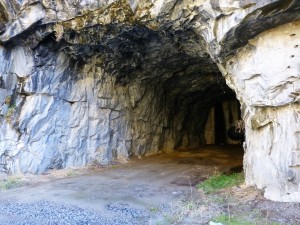
Next to the Falls, and along the road are huge tunnels called Adits, which were designed to assist in the construction of the major pipe line.
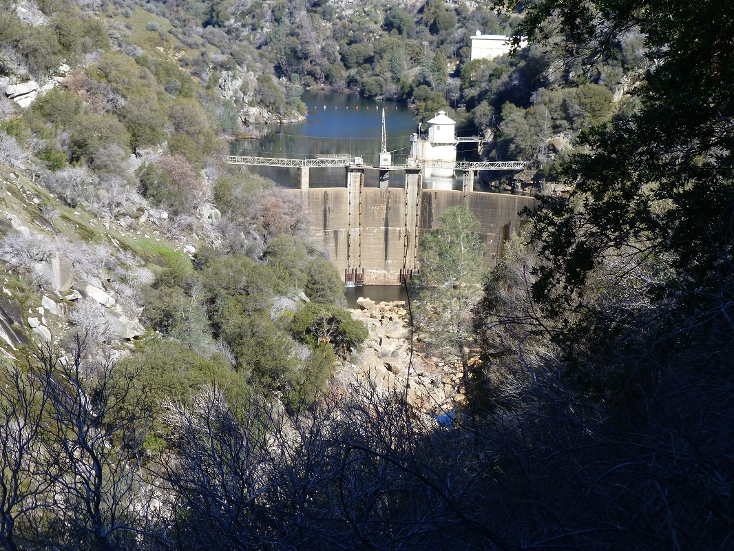
It was early in the day when we had made it to the falls, so we were motivated to make it up to the Big Creek Dam 6, which was constructed in 1923. This dam is 155 feet high and the lake behind it can hold 1,730 acre feet of water. The surface area is 23 acres.
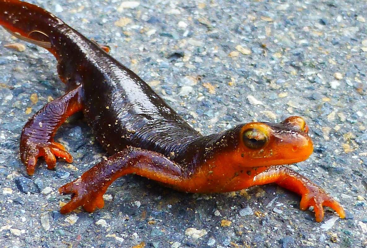
We headed back the same way that we had walked in. When we got close to Mill Creek, I was surprised to see a Newt on the road. The area was shady and it was probably about 40 degrees. After I took his picture, I moved him off of the road and he was so cold he was not moving at all. I wondered if he had ventured across the road when the sun was on it when it was warmer. Hope the little guy made it.
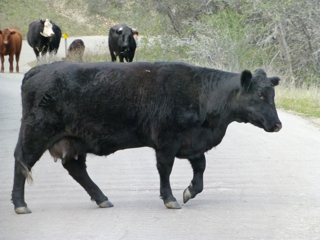
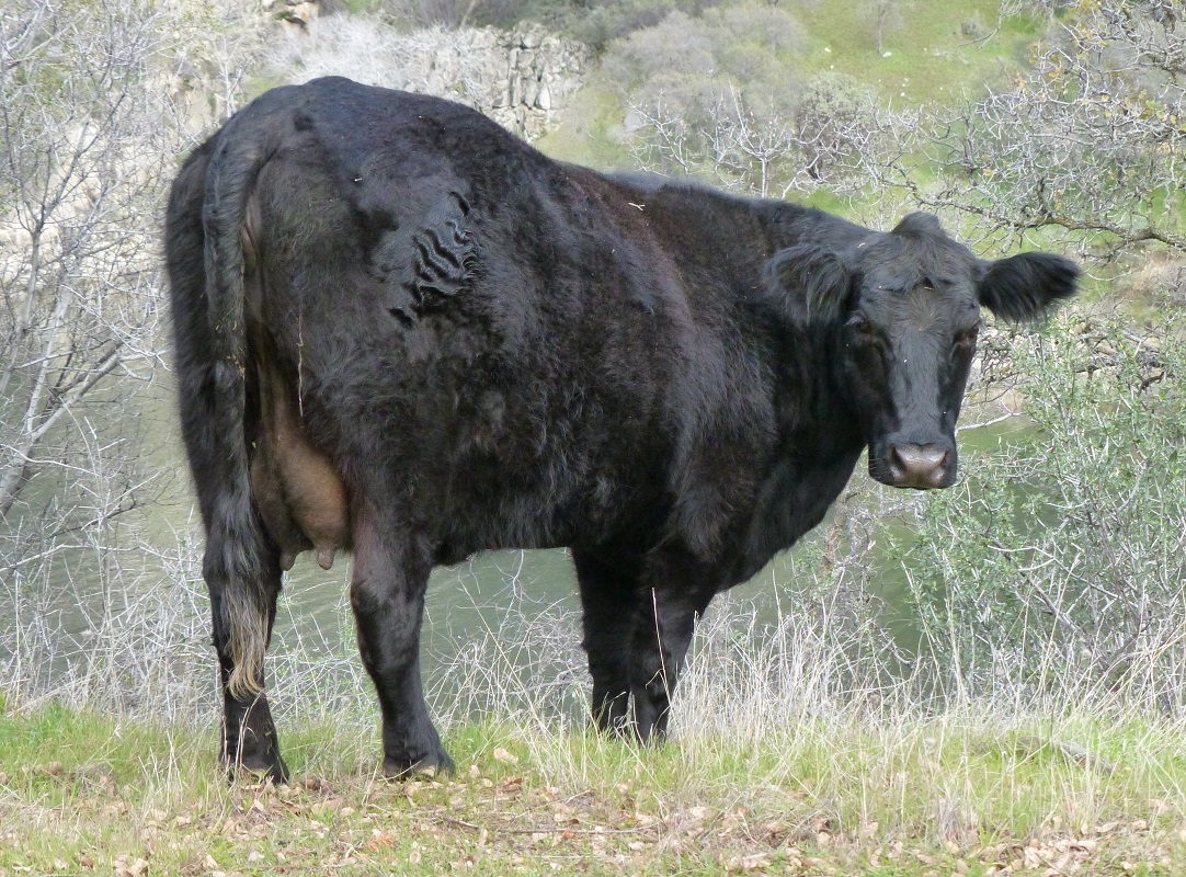
After getting back in the car, we drove out the same way we came in. We had a traffic jam though. Cows on the road slowly moved off of the road toward that nice, green grass.
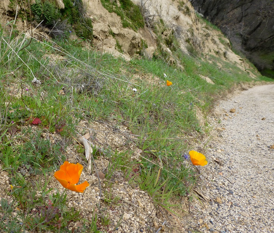
What a surprise to see our first poppies of the year along the road. Later on, this area will be ablaze with poppies and other colorful wildflowers.
This hike could potentially be a good hike to take with your dog, if they are the type of dog that stays with you on the road. In addition to needing to carry your dog over the steel grid bridges, there are some steep drop-offs on this road. My Sally dog would want to chase squirrels and I am afraid that Sally would dive off there while chasing some critter and hurt herself. This is also rattlesnake haven. There is only one fairly good watering spot at Mill Creek, so you would need to pack water for your dog. The hike is entirely paved and this can be tough on a dog’s paw pads if they aren’t toughened up to this type of use. That pavement can also be very hot in the summer.
This hike is a very flexible one. It is about 6 miles round trip to get up to Stevenson Falls but you can keep on hiking farther if you want to. This is also a good one after heavy rain or snow because you aren’t dealing with muddy or icy trails and get in some miles. You can also ride your bike up the road but be aware of utility vehicles traveling the road every once in a while.
Sources:
Big Creek Hydroelectric Project Wikipedia
Prior Blogs in this Area:
Hiking to Stevenson Fall through Recent Road Washouts February 13, 2017
Stevenson Falls Hike February 25, 2015



Was its last name Gingrich? 🙂
MT, I failed to ask the little guy that question so just can’t say for sure. 😉
How far is it to the dam from the falls? Love the pictures btw.beautiful!
Thank you for your question and should have added that in the blog. I measured it on my track and it is about 3.5 miles from Stevenson Falls to where we stopped for lunch overseeing Dam 6. If you actually go up to the road to the dam, it is another .4 miles or so. These are one way measurements.
Thank you. Did this hike a couple weeks ago. It was amazing. Looking forward to exploring farther to the dam.
I think this is a really good time to do this hike and happy to hear that you did it. I hiked on the south side of Redinger Lake up to Stevenson Falls and a little beyond that on January 6. The information on this hike was a rerun from a hike a couple of years ago but at this same time frame. I wanted to share a do-able hike for this time frame instead of missing a Sunday blog and hope I didn’t confuse SNO readers.