We hiked off trail through brush, snow, crossing small creeks and swamps to get our reward of seeing a very rare flower and wonderful views of snowcapped high peaks. And, who knew that a small toad was a peak bagger?
Where: Sierra National Forest
Distance: 5.32 Miles
Difficulty: Moderate
Elevation Range: 7,188′ – 8,353′
Date: June 14, 2017
Maps: Little Shuteye Topographic Quad, Sierra National Forest Map
Dog Hike? Maybe
We met up at The Pines Market in Bass Lake and then took Beasore Road up to a dirt road that is usually marked Chilkoot Lake but that sign wasn’t there on our hike. That little dirt road was a little muddy and I put it in 4WD just in case and didn’t stop as I sloshed through some muddy ruts with brush scraping along the side of my rig. There is a small parking area and once we got parked, noticed a pickup had driven in an alternate route and was stuck in mud up to its running boards. There wasn’t anyone around but a shovel was planted in front of the pick up.
There is no formal trail to Little Shuteye Peak and there are several routes that people take to get to it. My hiking buddy Steve followed a prior track that he had on his GPS. I sure don’t recommend that anyone head up to Little Shuteye Peak without knowing the way or without good route finding skills and tools. I have heard several stories about people climbing up to Little Shuteye Peak, then getting lost on the way down.
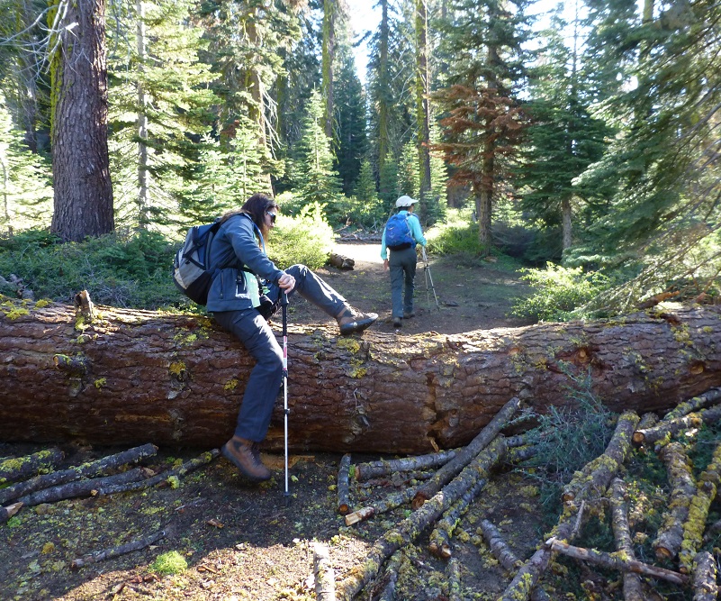
That dirt road that we drove in goes a little farther but no one will be driving down it anytime soon with that big tree across it. Since we were on foot, it didn’t slow us down though.
Sometimes you see the strangest things that just make you wonder how and why.


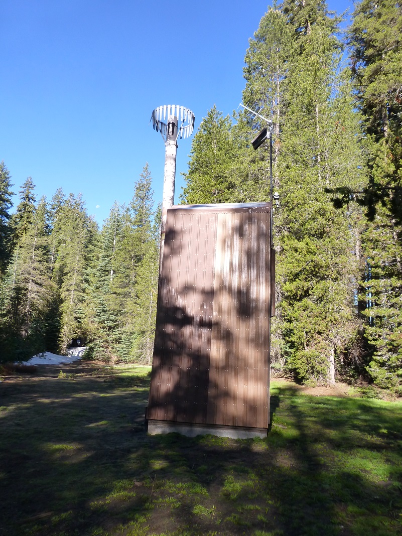
We walked by a weather station.
We crossed many small streams and swampy areas.
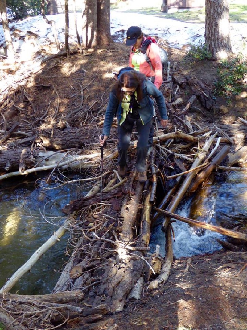
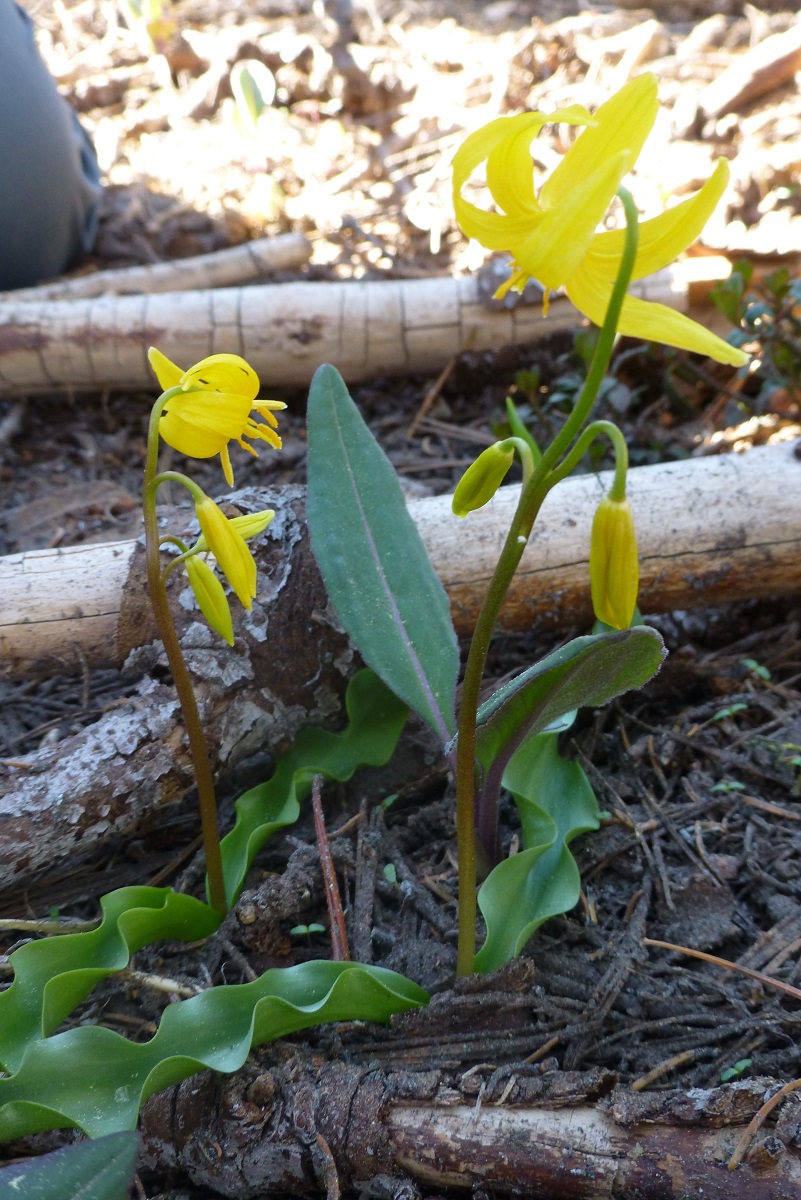
Photo by Gail Gilbert
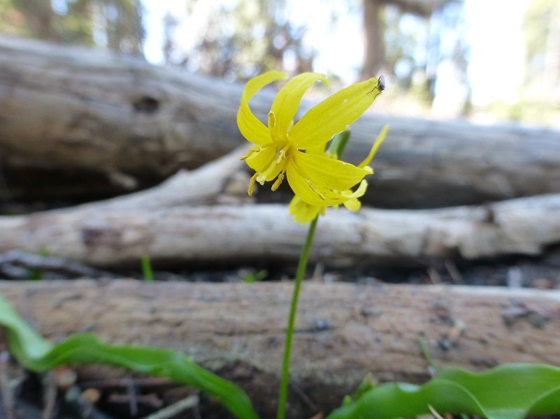
And then we saw it. We didn’t know what it was but Steve did. It is a very rare plant, named Shuteye Peak faun lily and only known to be found from Chiquito Ridge and Shuteye Peak in the San Joaquin River watershed.
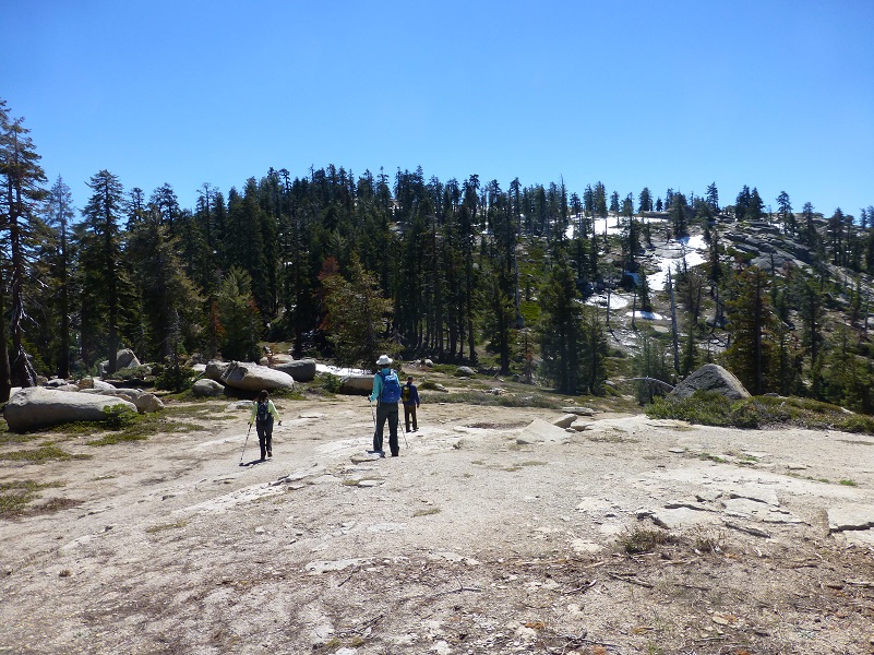
We headed up through low growing manzanita.
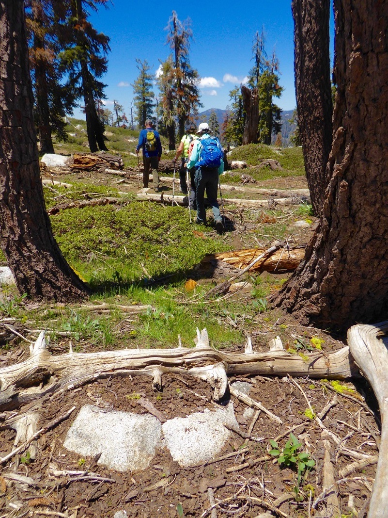
Photo by Debra Sutherland
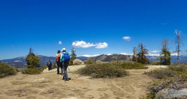
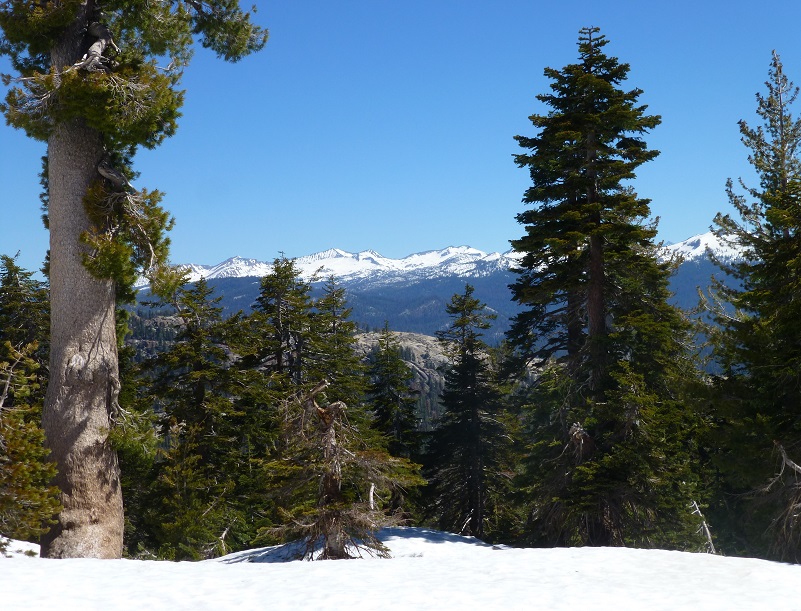
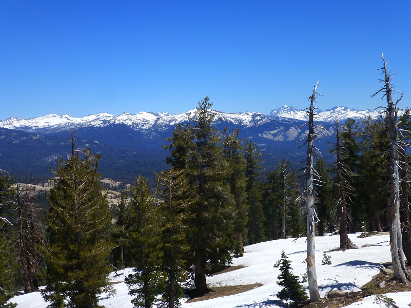
We had several areas along our hike when we would top out and catch a wonderful view of the high country. We could pick out many high peaks to our east and south.
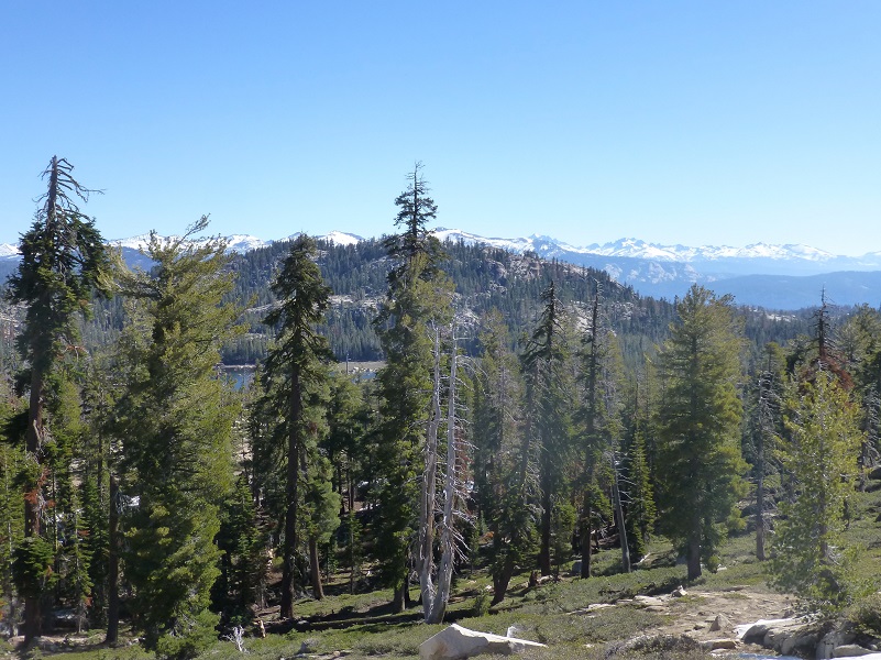
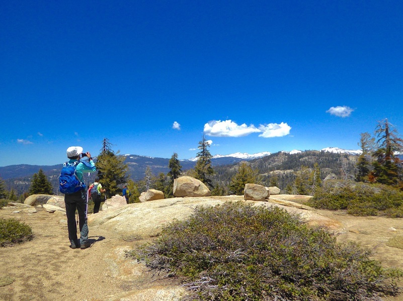
Photo by Debra Sutherland
When we hit areas of granite, phlox was nestled in cracks, flowering in white and pink shades.

We continued upward, hitting more snow.
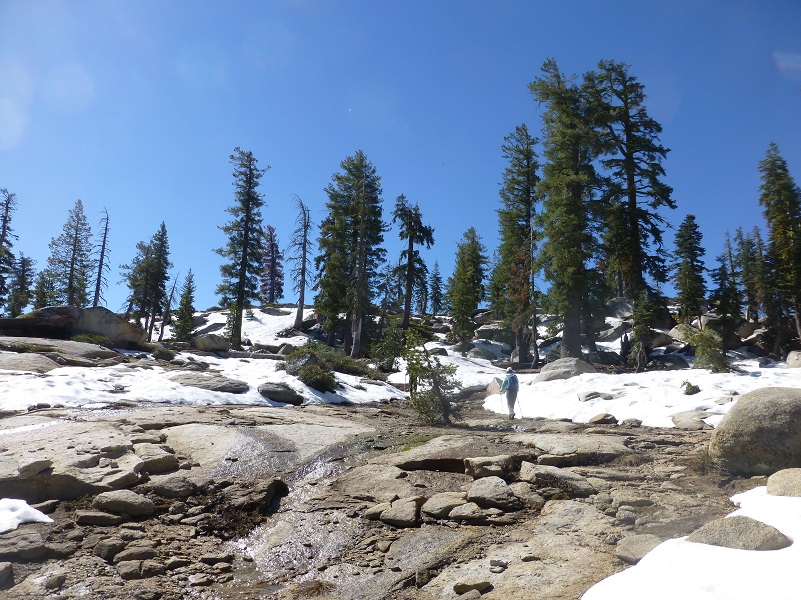
We discovered some reflections in small tarns

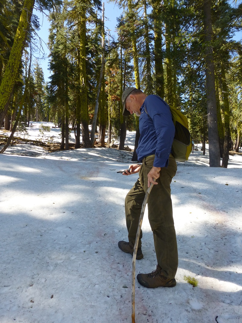
Steve did an amazing job of keeping us on track.
We kept on climbing as we hiked over small domes of granite then along a ridgeline.
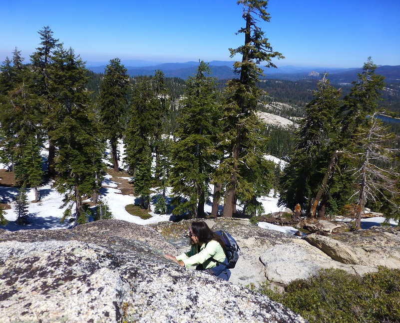
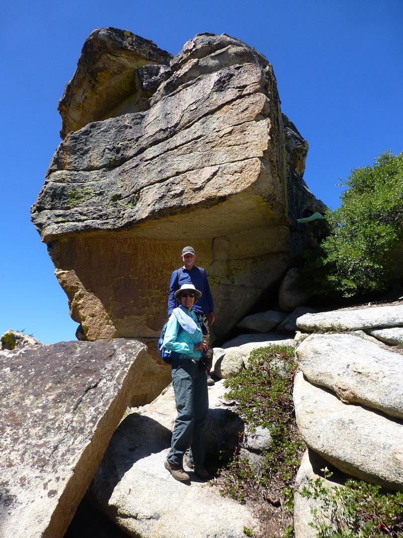
Once we reached Little Shuteye Peak, it was a short scramble to the top. Little Shuteye Peak is officially at the 8,353′ elevation and nearby Shuteye Peak is at 8,351′. So Little Shuteye Peak is higher than Shuteye Peak. How did that come about?
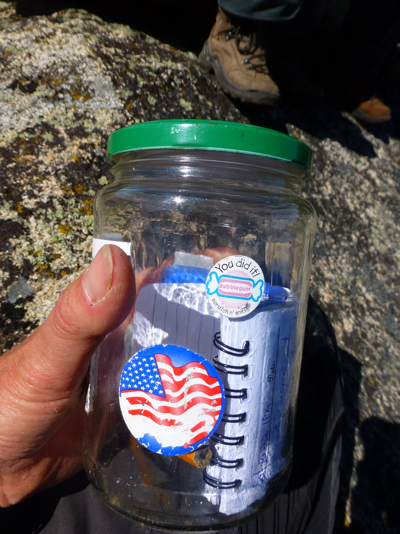
We located the Register and entered our information.
I think getting down was a bit more challenging that getting up on the peak, but maybe that was just me.
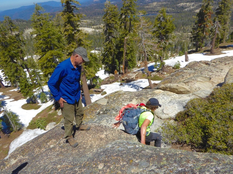
Photo by Debra Sutherland
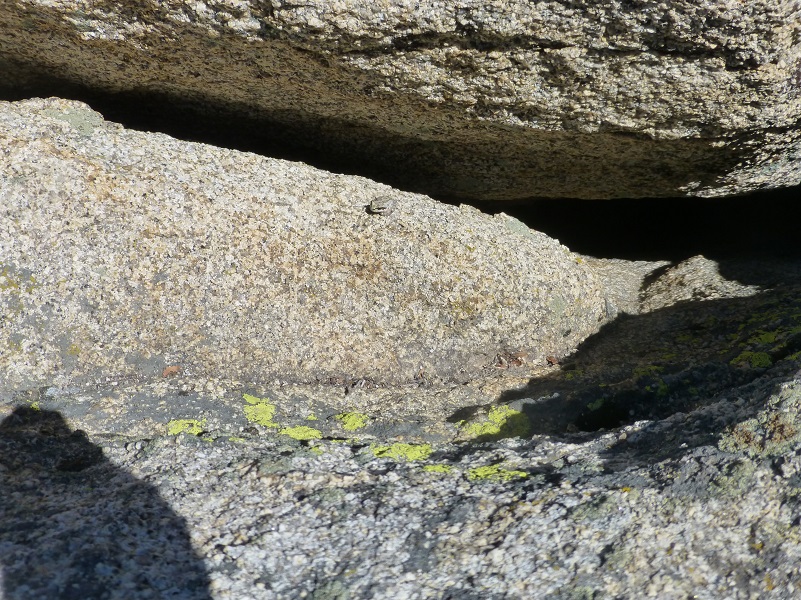
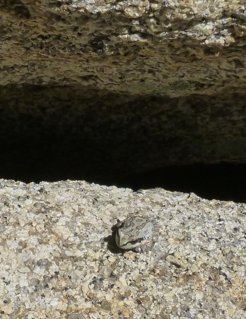
We had been seeing these really small toads on the hike up and as we were making our way off of the tip top, I spotted one. That is one tough critter to be this high up and on this rocky outcropping. It sure blended in with the granite though.
We found a nice flat spot where we ate our lunch

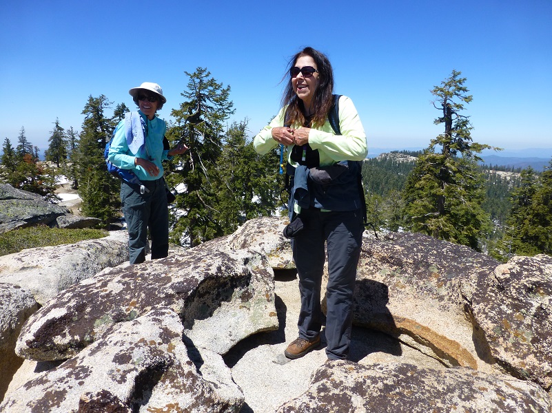
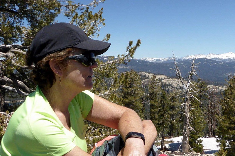
Photo of Me by Gail Gilbert
We took one last look at those snowcapped high mountains then started heading down.
We worked our way down from the rocky outcropping that is called Little Shuteye Peak.
Then back down the mountain.
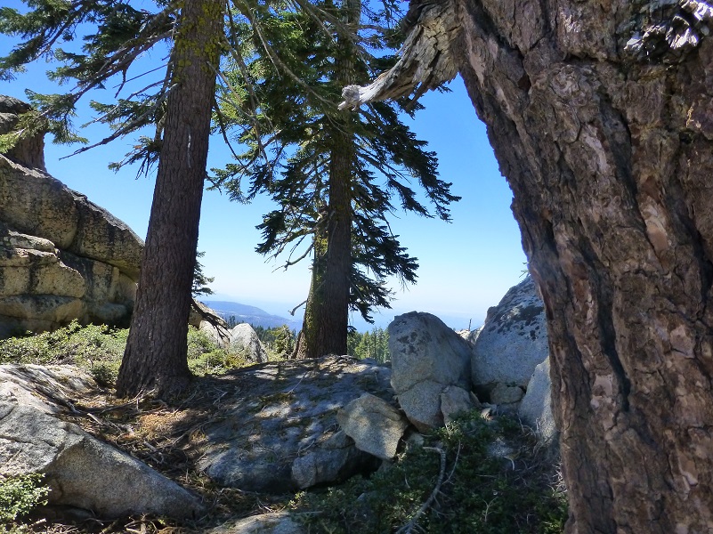

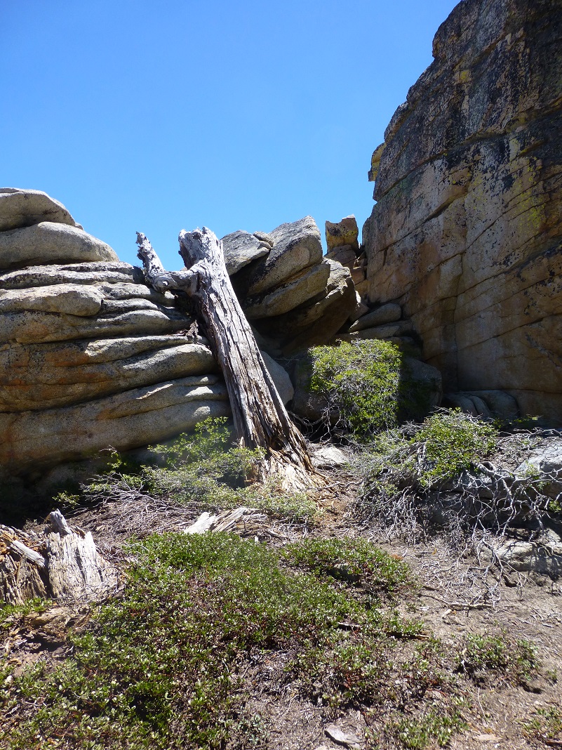
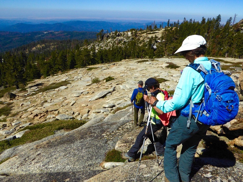
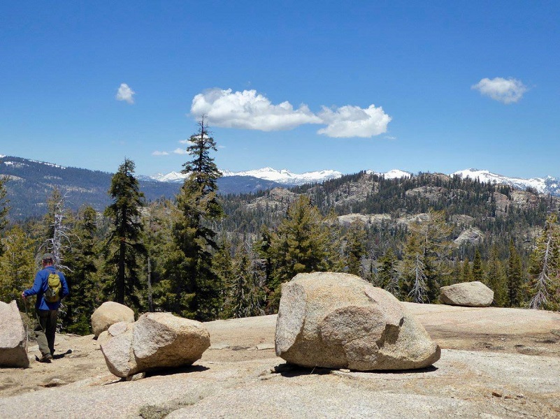
Photo by Gail Gilbert
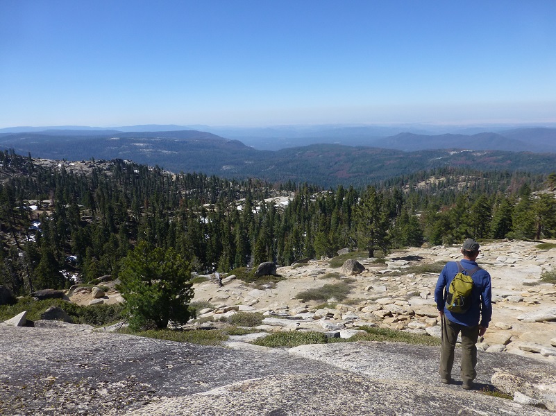
At one spot, we could look down and see the Oakhurst area with Deadwood Peak behind it.

We continued back down through that shaded snowy section.

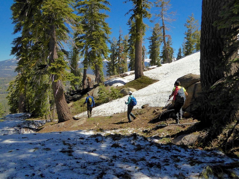
Photo by Debra Sutherland
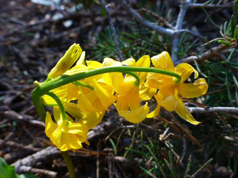
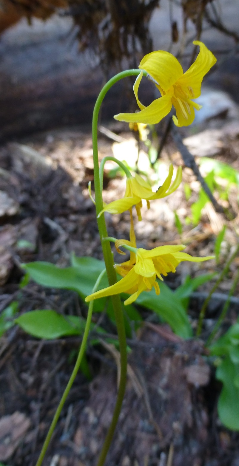
And we hit a different patch of those Shuteye Peak faun lilys. Of course we just had to capture some more pictures.
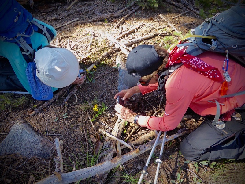
Photo by Debra Sutherland
 Deb had remembered going by a small lake on a previous hike and we tried to find it on our way down. We searched on our GPS topogs and even on a real map but just couldn’t locate it.
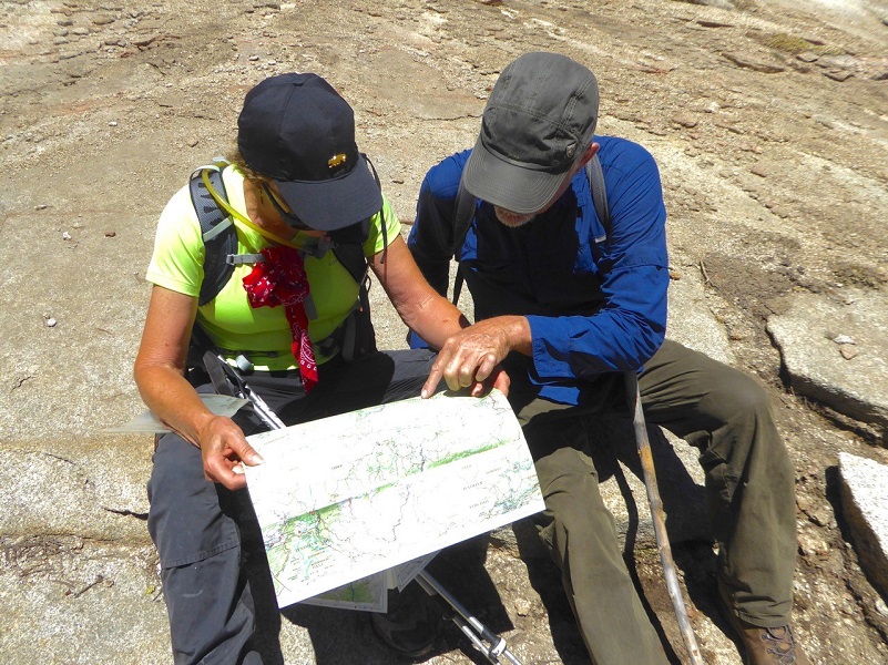
Photo by Debra Sutherland
As we worked our way back across the small creeks and over down forest litter, we spotted that weather station, which made us all very happy. This hike is not one that I would encourage people to tackle on their own and not unless they know where they are going. I tracked it with my GPS but honestly, I wouldn’t do this one on my own. The good news is that there are many other marked trails in and near this area that are a more secure option to not get lost. But it can happen easily as several hiking friends of mine know.
Dog Hike?
I think this could be a good dog hike for the right dog and Deb took her dog on her past hike here. It involves going through a lot of brush, some of them that can create sharp cuts as I can attest to. I’m not sure how the dog drinking water situation is in the summer and you may need to pack dog water. Also, be aware of the critters in this area such as rattlesnakes, bear, deer, coyotes and others that a dog could tangle with.
The Sierra National Forest has a short article called Canine Camper that you can access here. Even though this is not classified as a wilderness area, here is what they have on their website:
Domestic pets are allowed in wilderness areas. You are responsible for their actions as well as their welfare. Pets should either be leashed or under direct voice control. When camping in areas with other visitors, pets should be kept on a leash. Wilderness visitor’s who plan to travel into an adjacent National Park should be aware that National Parks do not permit pets.
We ask the public to remember these rules when taking pets into the wilderness.
- Bury feces.
- Do not tie up dogs and leave them unattended.
- Do not allow dogs to chase wildlife.
- Leave unfriendly or loud dogs at home.
Map and Profile:
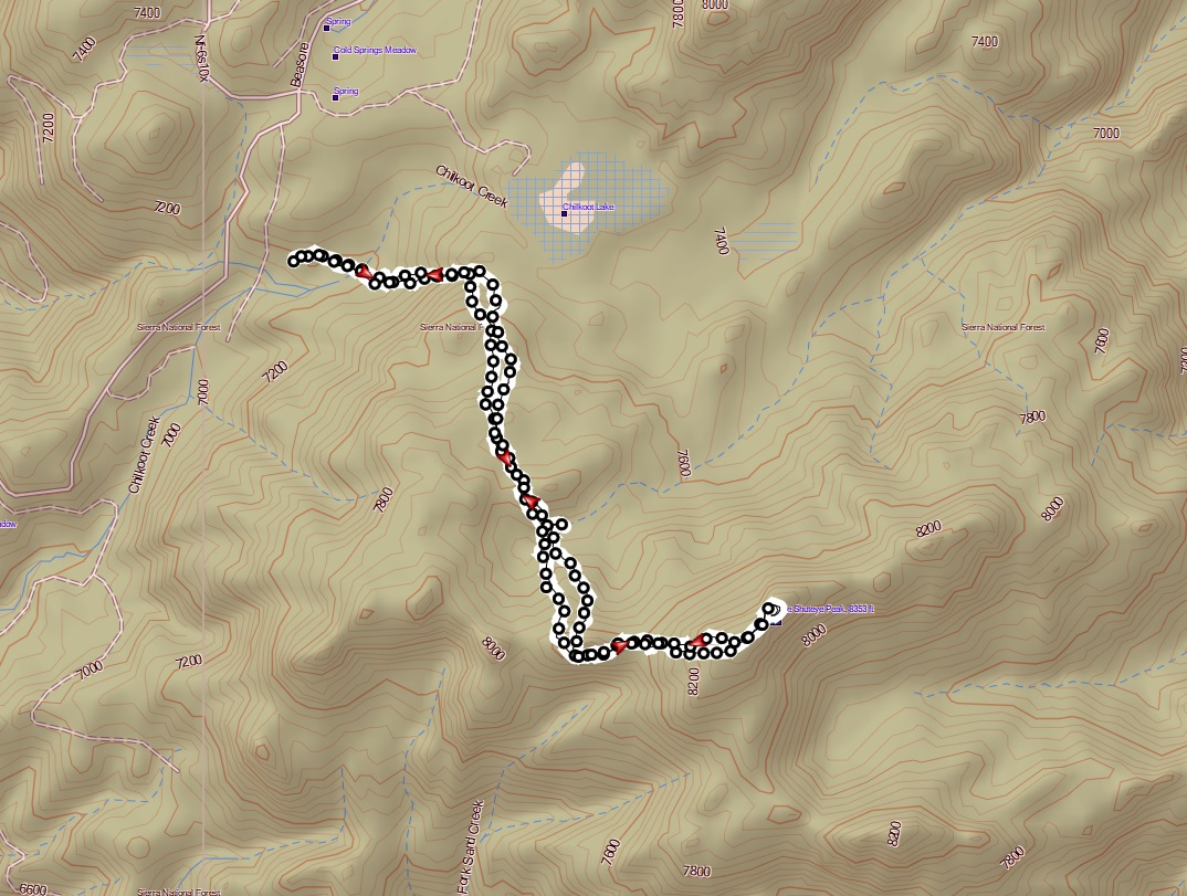
Little Shuteye Peak Hike Topographic Map

Little Shuteye Peak Hike Profile
Prior Blogs in the Area:
Sources:
Shuteye Peak Faun Lily California Native Plant Society
Little Shuteye Peak Peakbagger


Thank you for this great article on the hike to Little Shuteye!. I’ve been to the top of Big Shuteye, and always wanted to check out the “little” guy. The pictures were beautiful too. Love our beautiful mountains.
Lesley Smith
Thank you so much for the wonderful comment. I know what you mean about our beautiful mountains and each hike is a new adventure. You never know what you will see.